BOU AVENUE
Josephine Falls
Kicking off a weekend visit to Elkford, British Columbia, Zosia Zgolak hiked to nearby Josephine Falls late in the day on 18 March 2022.  The moderately long but fairly easy trail to the falls is touted as the most popular in the area, and despite an abundance of snow, we were confident that there would be a beaten path to follow.

Starting from the signed trailhead (located along Fording Highway 4.9 kilometres east of the junction with Highway 43), Zosia and I followed a well-beaten path through undulating snow-laden terrain for about 2.3 kilometres to the first of two viewpoints overlooking Josephine Falls and Fording River.  As expected, the snowy trail was packed down and fairly easy to hike although we still occasionally punched through some deep pockets.  The falls are surprisingly large, but sadly, the views from the two viewpoints are unsatisfying if not disappointing.  Both viewpoints are situated high on the west bank of Fording River, and as such, the falls appear distant and underwhelming.  It is likely that some people hop over the safety fences at the viewpoints and make their way down to the river where the grandeur of the falls are probably more spectacularly realized, but the very steep banks and cliffs here appear treacherously dangerous.

Not wanting to risk our necks descending to the river, Zosia and I simply turned around and hiked back to the trailhead without much fanfare.
Don't go off-trail!

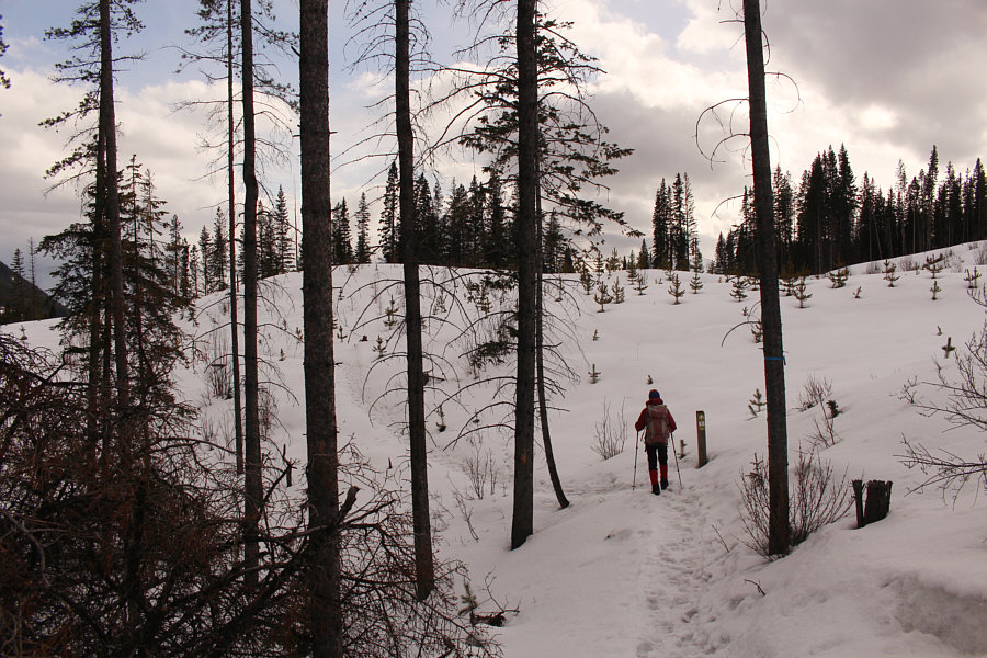
Zosia follows a beaten path in the snow.

Too bad the ridge is not easy to access.

The ridge across the valley has some clear-cuts that almost resemble ski runs.

Maybe they should cut a few of the trees to make the viewpoint more...viewable! 
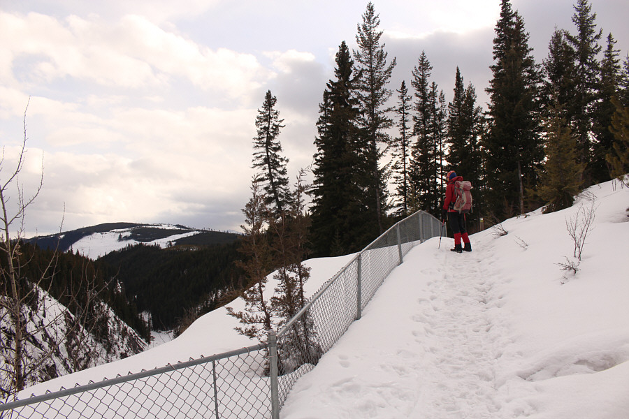
Fencing near the first viewpoint discourages visitors from wandering too close to the edge of the steep embankment.  Visible in the distance at left is Fording Mountain.
Worst angle for viewing waterfalls... 
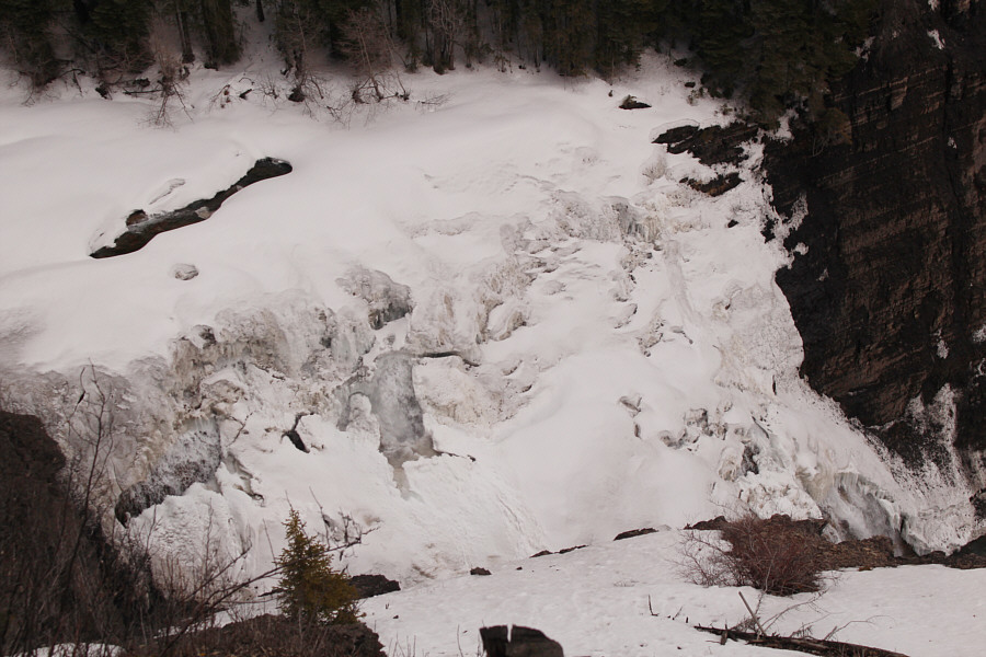
Much of Josephine Falls is still frozen on this day.
They really need to build some stairs going down that ridge behind Zosia! Zosia stands at the second viewpoint.
Meh. Here is a closer look at Josephine Falls from the second viewpoint.
Probably popular because it's an easy walk, but the falls appear underwhelming from the current viewpoints. Total Distance:  5.0 kilometres
Round-Trip Time:  1 hour 48 minutes
Cumulative Elevation Gain:  156 metres

GPX Data