BOU AVENUE
Jubilee Mountain
With snow still plastering surrounding
higher peaks, Zosia Zgolak and I chose to ascend Jubilee Mountain located
northwest of Spillimacheen, British Columbia on 24 June 2022. A
straightforward ascent route via a fire lookout access road is described
in Mike Potter's Fire Lookout Hikes in the Canadian Rockies, but
we were mostly inspired by a recent trip report by
Alison Sekera.
Turn onto Westside Road from Highway 95,
63.5 kilometres south of the lights at the intersection with 9 Street S
in Golden or 39.5 kilometres north of the traffic circle at the
intersection with Highway 93 in Radium. Drive 2.3 kilometres and
veer right onto Giant Mine Road. Drive 2.4 kilometres and veer
right again onto Jubilee Mountain Forest Service Road (FSR;
high-clearance vehicle recommended). Ignore two minor side roads
and reach Jubilee Mountain Recreation Site (pit toilet) in about 1.2
kilometres. Continue on the FSR for another 4.8 kilometres to a
junction. The left-hand road has warning signs and leads to a
mining operation. The right-hand road goes northward for 2.5
kilometres before making a switchback southward to reach the summit in
another 2.0 kilometres. Drive as far as desired or as comfort
allows.
I managed to drive nearly two kilometres
past the mine site junction before a large mud hole convinced me to give
my car a break and park in a small pullout beside the road. From
there, Zosia and I walked the remainder of the road to the summit without
any trouble. While still in use and even sporting a disco ball when
Josée Ménard and Fabrice Carrara visited in
2014,
the lookout tower at the summit is now abandoned except for some empty
cupboards, a kitchen sink, and a lonely couch.
After poking around there for a little while, Zosia and I eventually left
the summit and hiked back along the road to my car. We spotted a
black bear along the road on our drive back to the highway, but it
quickly disappeared into the thick bush before we had a chance to snap a
photo. We had better luck later on with a turtle that was spotted
by Zosia's sharp eyes.
 |
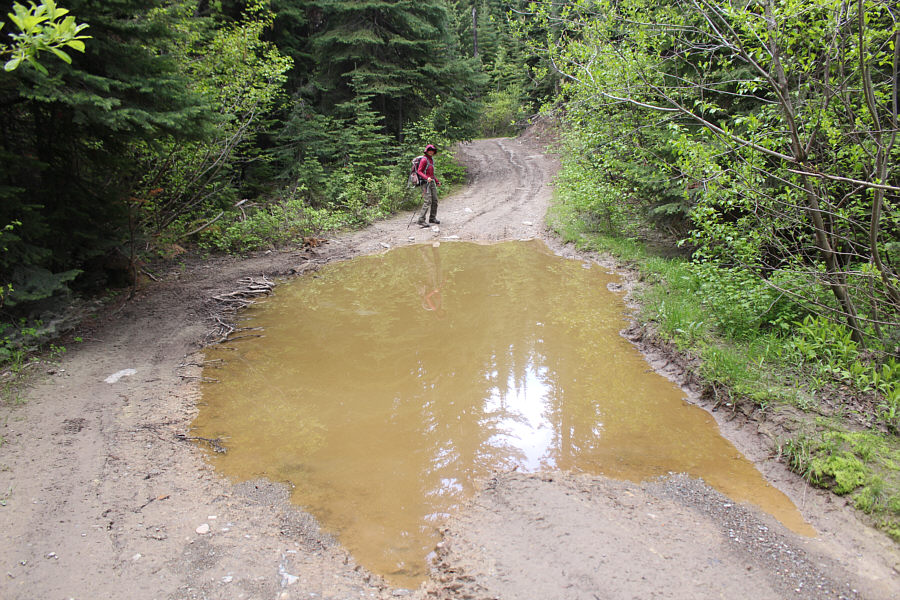
Zosia walks past a big mud hole in the road. |
 |
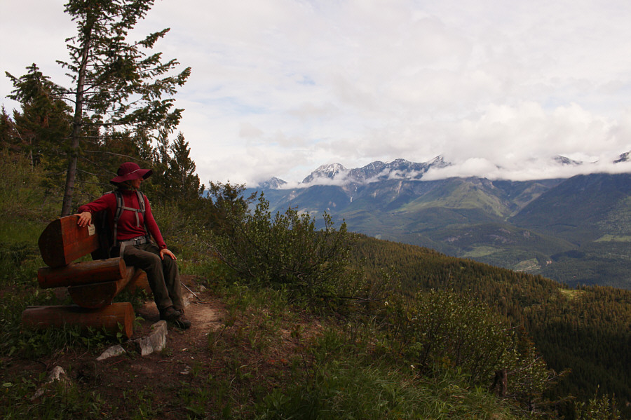
Not far from the summit is this bench with views across the valley of the
Beaverfoot Range. |
 |
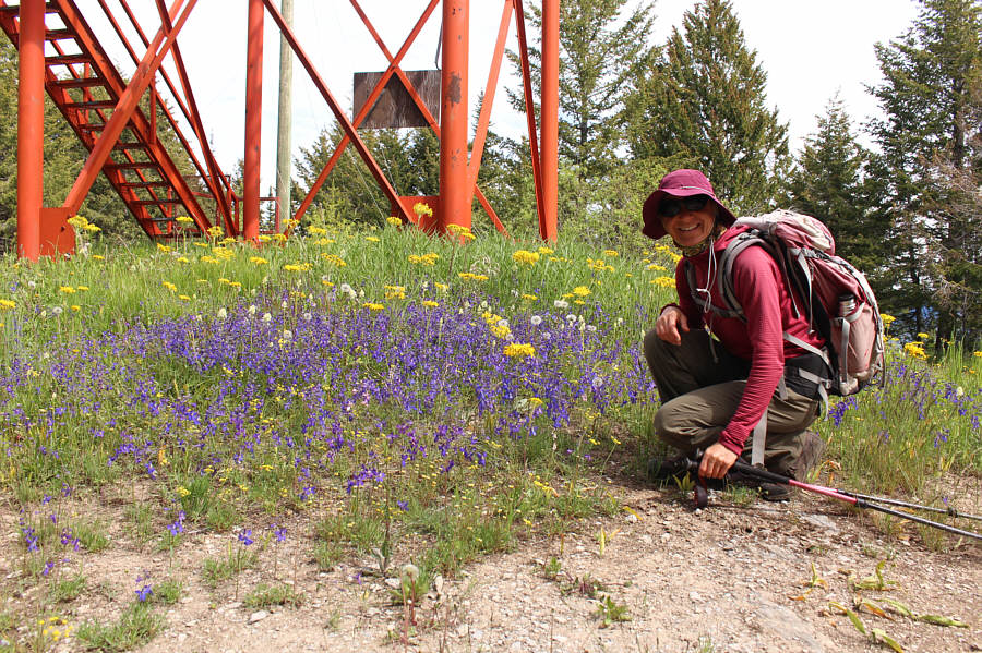
Wildflowers adorn the summit of
Jubilee Mountain (1685 metres). |
 |
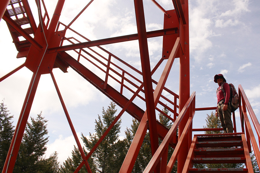
The stairs going up the fire lookout tower appear to be in good shape. |
 |
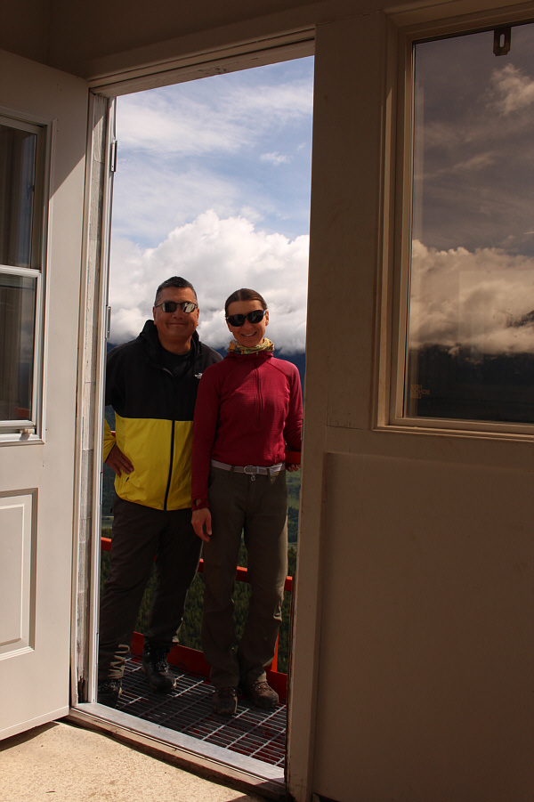
Sonny and Zosia stand at the entrance to the fire lookout building
(1696 metres). |
 |
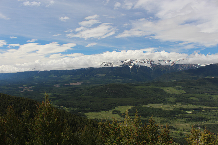
Clouds obscure most of the peaks of
the Septet Range to the south. |
The Columbia River stretches away to the southeast.
 |
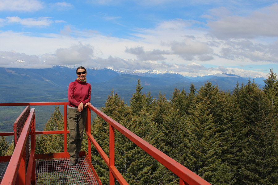
The mountains to the west are also obscured by clouds on this day. |
 |
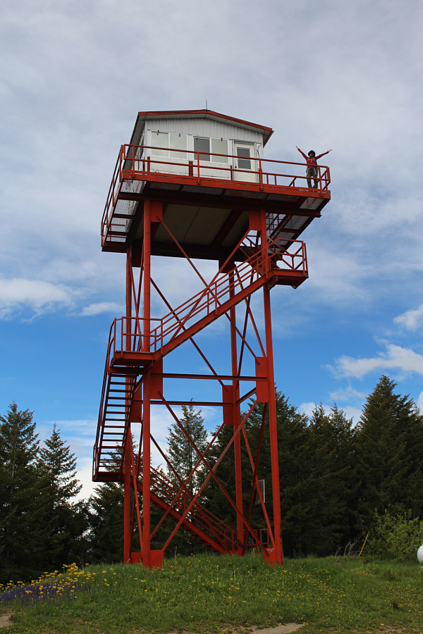
Here is a complete view of the fire
lookout tower atop Jubilee Mountain. |
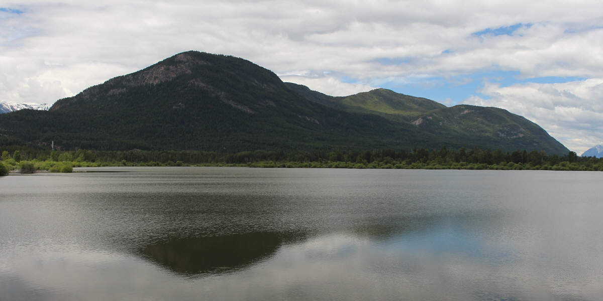
Here is a comprehensive view of Jubilee Mountain from
near the highway. The summit is the bump on the right.
 |
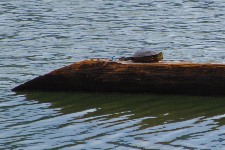
A turtle reposes on a log which
appears to have been secured for its benefit. Photo
courtesy of Zosia Zgolak |
 |
Total
Distance: 5.6 kilometres
Round-Trip Time: 1 hour 56 minutes
Net Elevation Gain: 208 metres
GPX Data |