BOU AVENUE
Sleeping Lion Mountain
Wrapping up the year on 31 December 2022, Zosia Zgolak and I scrambled up Sleeping Lion Mountain located in Texas's Fort Davis National Historic Site.  Little more than a scrubby hill, Sleeping Lion Mountain is nevertheless an officially-named summit, and more importantly, it is easily accessible to the public.  The mountain is not an attraction at the historic site, and consequently, there are no official trails to the top.  In fact, there is hardly any route information at all other than a brief entry in Peakbagger.com.  Despite the mountain's low elevation, significant cliff bands guard approaches from almost all directions, but topographical maps show a rudimentary trail leading up to the west end of the mountain.  I surmised that this would be the least problematic way to reach the summit.

When Zosia and I arrived at the historic site, we first checked in at the visitor centre to use the washrooms and show our park pass.  We then headed west on a service road which runs below the north flank of Sleeping Lion Mountain.  Upon reaching a utility shack beside a grassy meadow, we abandoned the road and turned south to follow a faint path leading to a water tank at the west end of the mountain.  Strangely enough, we ran into a group of five hikers here who were just as surprised to see us climbing the same mountain.  The leader of this group became concerned when he learned that Zosia and I had neglected to bring any water with us.  Anticipating a fairly short trip, neither of us had bothered to carry our usual assortment of hiking gear, but we reassured the leader that we would be fine.  Together, we turned eastward at the water tank and began thrashing up bushy terrain punctuated with large boulders.  Although the terrain here is not technically difficult, the catclaws, agaves and cacti certainly made the ascent unpleasant if not painful.  The five other hikers slowed considerably in this challenging terrain, and Zosia and I soon pushed ahead and left them behind.

The rather unremarkable bush-covered summit is marked by an easy-to-miss cairn, but a short distance away are some boulders which grant satisfying views of Fort Davis and the surrounding area.  Zosia and I stayed only long enough to snap a few requisite photos before retreating the way we came.  We had to do a bit of route-finding through some bushes and boulders near the west end of the mountain, but otherwise, we made it back to the water tank without too much grief (we also spotted the other hikers who were still making their way to the summit).  The descent to the service road and subsequent walk back to the visitor centre were uneventful.
Looks tempting to try and ascend the mountain from this end... Zosia follows a service road into Fort Davis National Historic Site with the east end of Sleeping Lion Mountain visible at left.
There's probably a non-technical route somewhere in there, but it would probably be more trouble than it was worth.

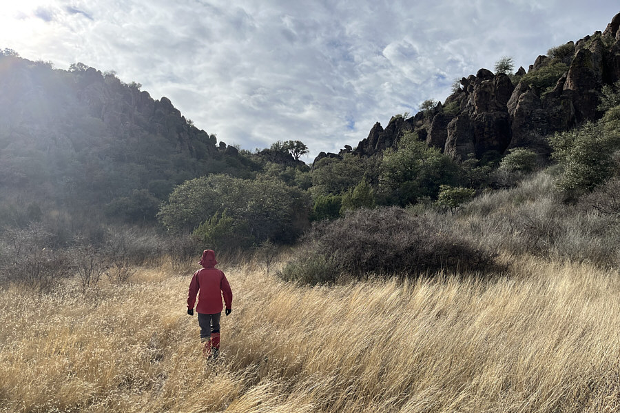
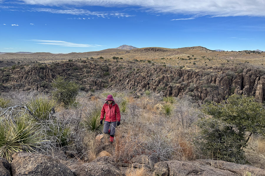
Cliff bands effectively guard the northern flank of Sleeping Lion Mountain.

The path itself is quite bushy--don't wear shorts! Zosia leaves the service road and follows a faint path which leads to the gap ahead.
Wasn't expecting a crowd here on this day!

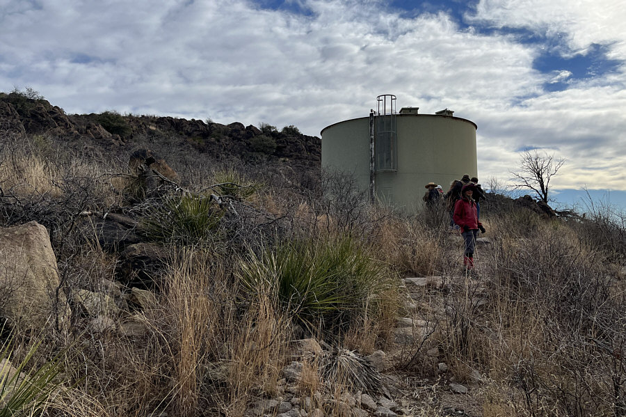
The ascent route climbs up the west end of Sleeping Lion Mountain from this water tank.

A machete would help! The ascent route is quite bushy and somewhat unpleasant for hiking.  On the distant horizon at centre is Blue Mountain.
The actual summit is mostly bushy and unremarkable.

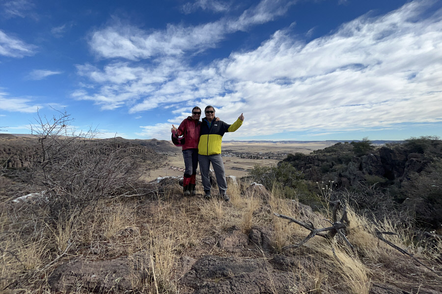
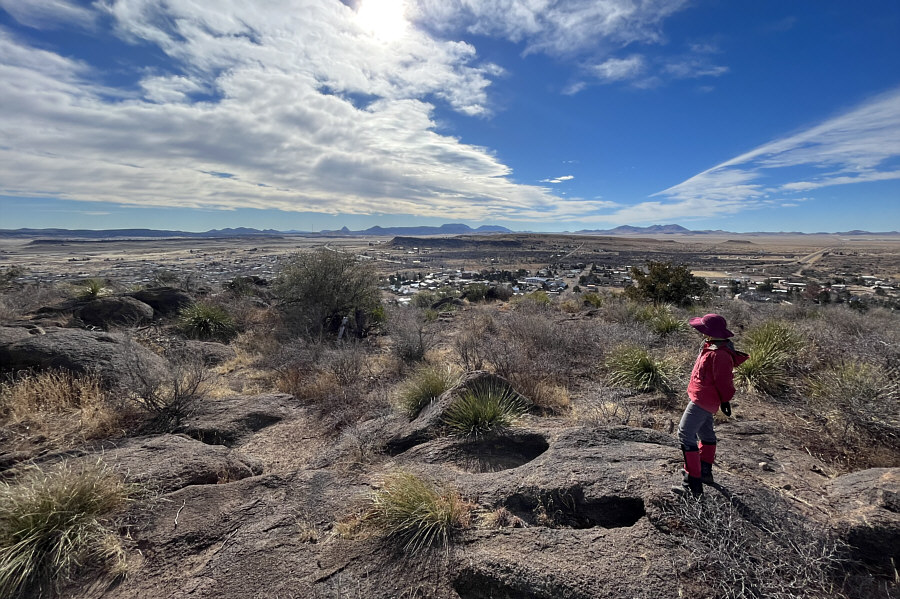
Zosia and Sonny stand on a viewpoint not far from the summit of Sleeping Lion Mountain (1586 metres).

I wonder how many soldiers ever bothered to climb up here.

This perch grants a commanding view of historic Fort Davis.


The mountains on the horizon look interesting... The modern unincorporated community of Fort Davis is visible to the south.
Some route-finding is necessary to get down safely. Zosia scrambles down some big boulders on descent.
Even a sleeping lion has some bite to it! Total Distance:  3.7 kilometres
Round-Trip Time:  1 hour 46 minutes
Net Elevation Gain:  92 metres

GPX Data