BOU AVENUE
South Hospital Creek Hill

On 26 June 2022, Zosia Zgolak and I hiked up an unassuming little hill located on the northeast edge of Golden, British Columbia.  Unable to find any related information online, I took the liberty to name the hill after nearby South Hospital Creek.  A logging road runs right over the top of the hill and provides relatively easy access.

From the intersection with Gareb Road at the east end of Golden, drive north on Lafontaine Road for 1.2 kilometres and turn left onto a rough logging road (high-clearance vehicle and dry conditions recommended).  Ignoring all minor side roads, we drove about 4.8 kilometres and parked in a large clearing (51.3339, -116.9298) along the road.  Determined drivers could conceivably drive right over the top of the hill and continue southward to eventually intersect Trans-Canada Highway (possible alternate access) about 4.7 kilometres east of the turnoff for Lafontaine Road.

From where we parked, Zosia and I basically followed the continuation of the logging road which gradually winds up the north side of South Hospital Creek Hill.  Ironically, the devastating clear cuts here grant some far-reaching views especially to the northwest, and as such, the walk up the road was less boring than expected.  Near the top of the hill, we left the road and trudged through some tedious slash in search of the actual high point.  In the end, we just eyeballed an unremarkable spot and snapped a requisite "summit" photograph there.  We wandered a bit further through the slash to tag any potentially higher mounds before making a beeline back to the road.  Other than a short unfruitful detour to find better views, we mostly retraced our steps down the same road.  We made it back to my car and subsequently drove out of the area without incident.
Hey Boo Boo!

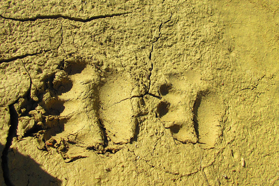
Bears apparently frequent the area around South Hospital Creek Hill.

Photo courtesy of Zosia Zgolak

I could've driven up this, but we're here to hike, right?

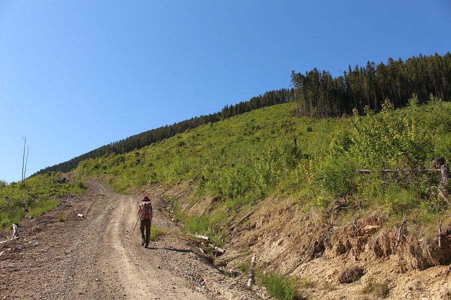
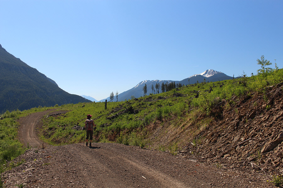
Zosia marches up a logging road on the north side of South Hospital Creek Hill.

The best views on this hike are from the logging road! 
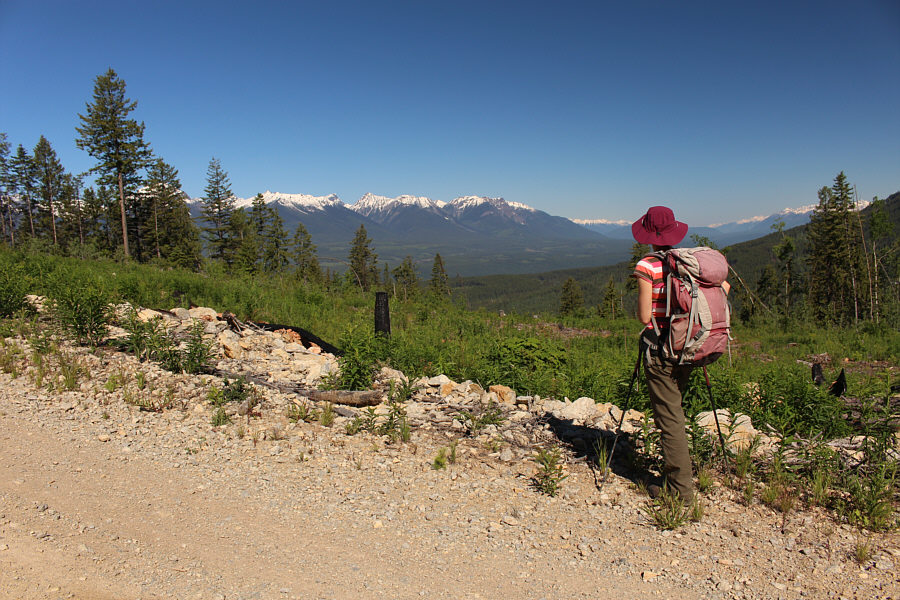
Zosia pauses to admire the far-reaching views to the northwest.
It's odd that the loggers left various patches of trees standing on this hill.

The logging road winds gently up the north side of the hill.

We probably should have climbed this mountain instead!

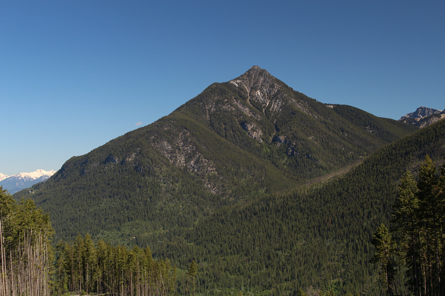
Moberly Peak dominates the view to the north.

So, where's the high point? 
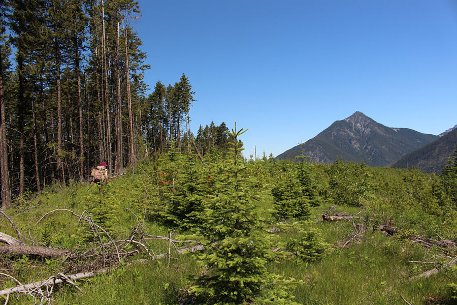
Zosia gets a glimpse of Mount Seven as the road crests the hill.
The things we do to tag a useless high point... 
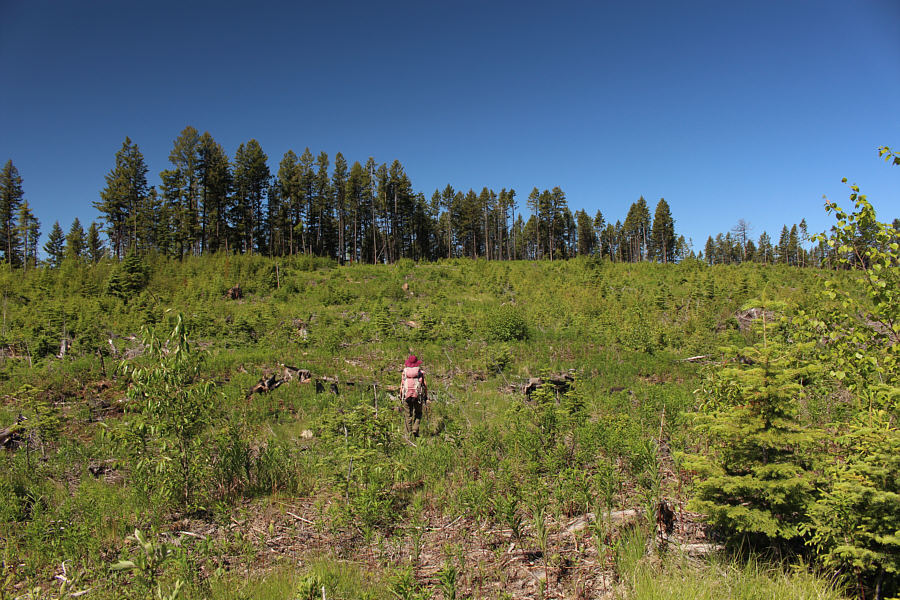
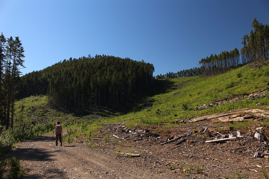
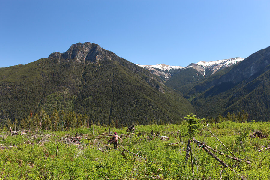
Abandoning the logging road, Zosia walks through a slash aiming for the high point of the hill.
Yeah, don't bother looking for a cairn or survey marker! The actual high point is difficult to pinpoint due to the flatness of the terrain.
Close enough that nobody will really care! 
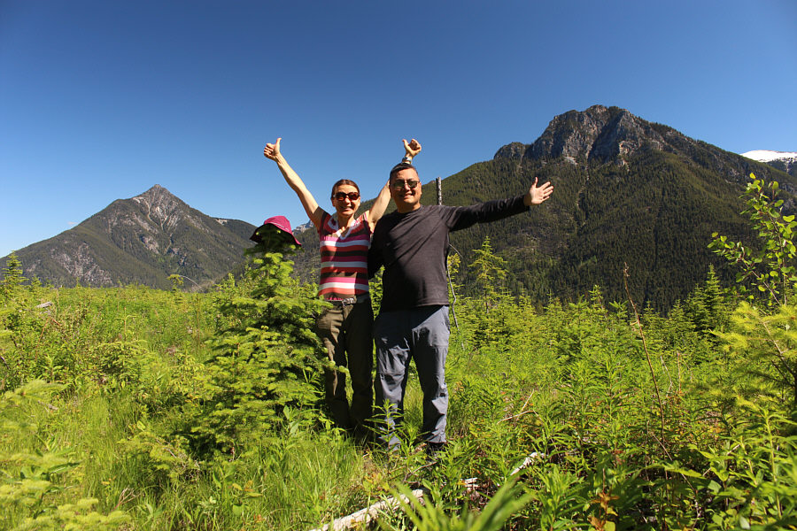
Zosia and Sonny stand on the approximate high point of South Hospital Creek Hill (1449 metres).
Let's GTF outta here before some bear comes by. Or worse...another peak-bagger! Confident that she has already tagged the high point, Zosia makes a beeline through the slash back to the logging road.

Simply too much snow to climb The Clamshell on this day, but...we'll be back!

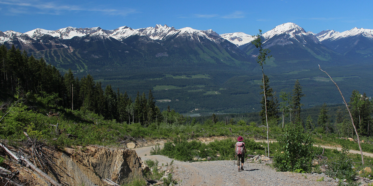
In this view to the west from the logging road, Kicking Horse Mountain Resort is visible at far left while the big peak at right is unofficially known as The Clamshell.
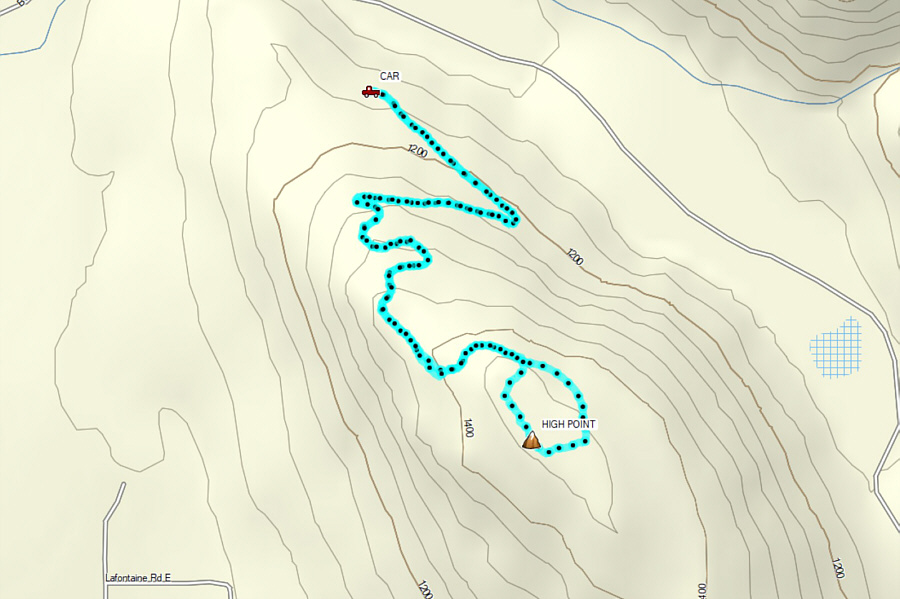
 

Has some merit for hikers but probably better suited for mountain bikers or OHV enthusiasts. Total Distance:  6.3 kilometres
Round-Trip Time:  2 hours 18 minutes
Net Elevation Gain:  310 metres

GPX Data