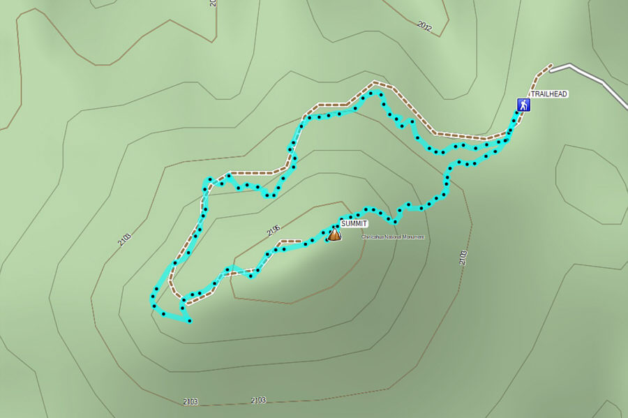
After moving my car to the Echo Canyon trailhead, Zosia and I
started our second hike of the day by following Ed Riggs Trail, Mushroom
Rock Trail, and Big Balanced Rock Trail to reach Heart of Rocks Loop.
All junctions are signed, and we had no navigational problems. Much
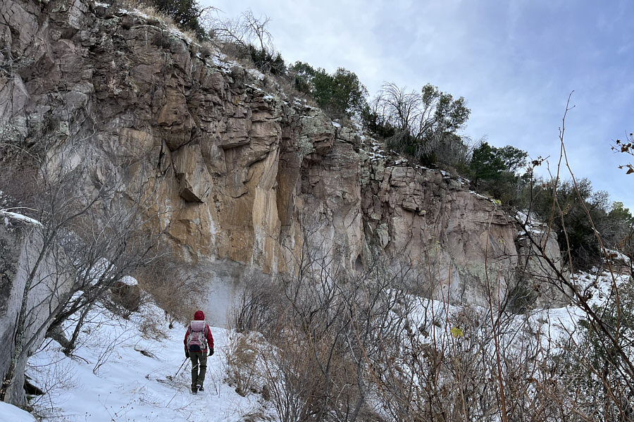
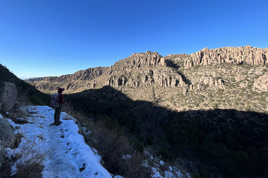
of the first part of this hike is in a steep-sided valley, and we had to
contend with chilly temperatures and occasional icy sections of trail.
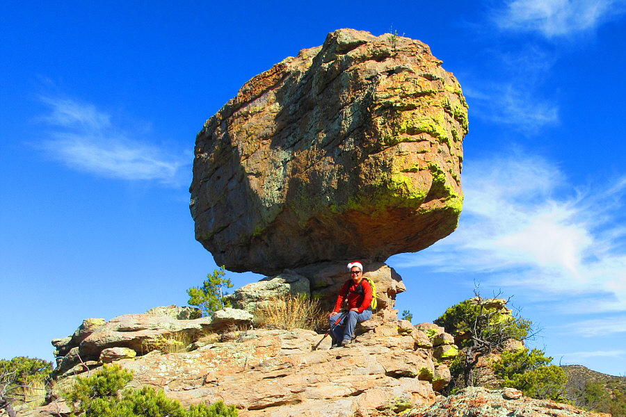
We got a bit more sunshine once we climbed out of Hunt Canyon onto Big
Balanced Rock Trail. At the feature known as Big Balanced Rock, we
took a short lunch break before tackling Heart of Rocks Loop which
showcases many interesting rock formations along the trail. It is
debatable which direction is best, but we hiked the loop in a clockwise
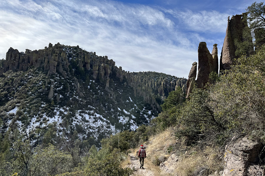
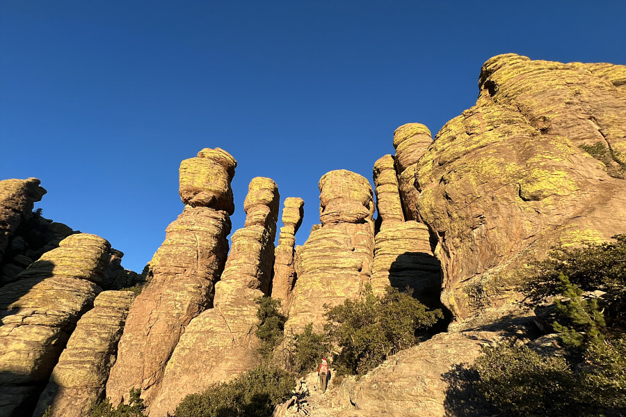
fashion.Pinnacles become more numerous along Big Balanced Rock
Trail closer to the junction with Heart of Rocks Loop.
 |
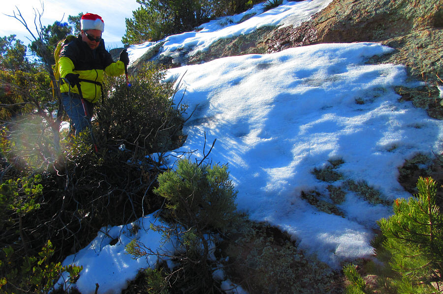
Zosia takes a break under some
impressive pinnacles. |
 |
Big Balanced Rock is the signature
feature of this area. |
 |
Zosia kisses the Camel's Head along
Heart of Rocks Loop. |
 |
Zosia and Sonny try to emulate the
Kissing Rocks. |
 |
Zosia looks across to the sunnier side
of Rhyolite Canyon from Sarah Deming Trail. |
 |
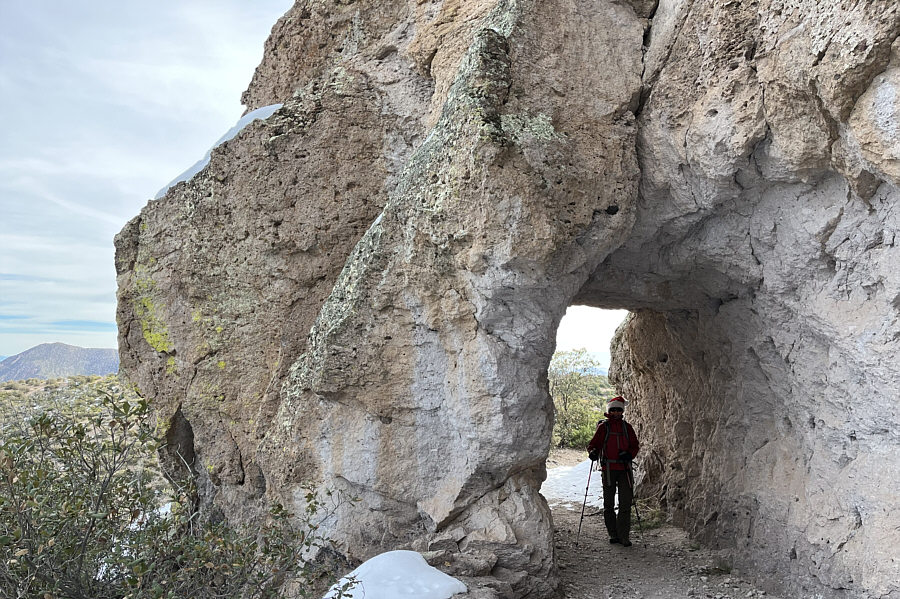
Echo Canyon Trail ingeniously winds
through seemingly impassable pinnacles. |
 |
Zosia pauses along a narrow corridor
among the pinnacles. |
 |
Pinnacles abound at every turn of the
trail. |
The last rays of sunshine illuminate a few pinnacles
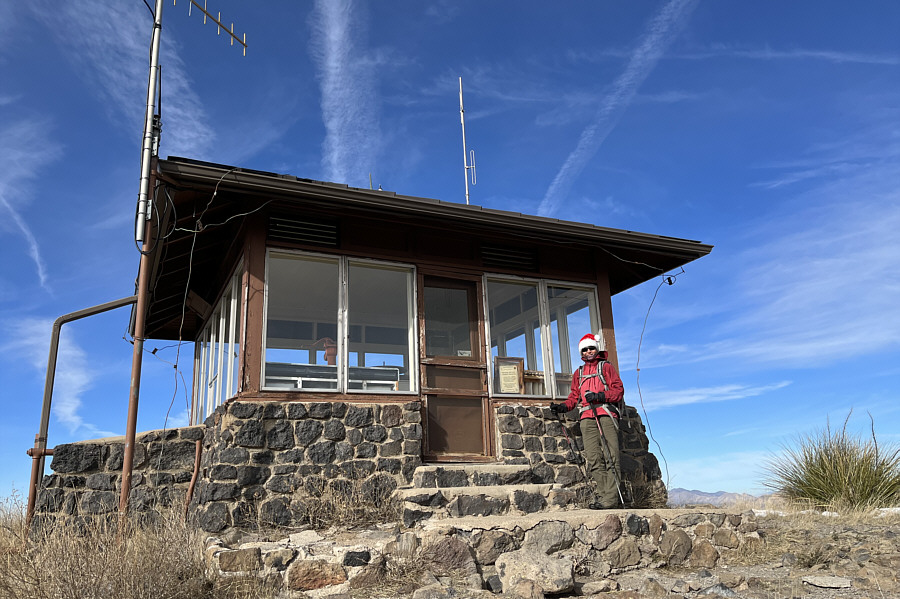
not far from the trailhead. In the background, the lookout building
is visible atop Sugarloaf Mountain.