BOU AVENUE
Virgin Peak
Leaving Las Vegas, Nevada on 21 April 2022, Zosia Zgolak and I took advantage of the last day of really good weather in the area to climb Virgin Peak located in Gold Butte National Monument.  The peak is highly visible from many points along the I-15 as well as nearby Valley of Fire State Park, and although the approach entails a fairly long drive into a remote corner of Nevada, the standard ascent route via the south ridge is nothing more than a long and strenuous hike.  For our trip, we were aided by useful waypoints published in an excellent trip report by Jim Boone.

From I-15, take Exit 112 (29 kilometres east of junction with Highway 169 or 18 kilometres west of the Arizona-Nevada state boundary) and head south on Highway 170.  Drive 4.7 kilometres and turn right onto Gold Butte Road just after crossing the bridge over Virgin River.  Ignore all side roads and drive 34.0 kilometres to a 4-way junction near Whitney Pockets parking area (with porta-potty).  Turn left (east) and drive 4.0 kilometres to a 3-way junction.  Turn left again and drive north about 1.3 kilometres to an abandoned corral.  Park here.  This last part of the drive is quite rough, and a high-clearance vehicle is strongly recommended.

From the corral, Zosia and I walked northward along the continuation of the road which soon becomes a wash snaking through a canyon at the very south end of Virgin Peak.  At a few bends in the wash, we were able to take a short cut to save ourselves some extra distance.  After traveling about 3.3 kilometres from the corral, we probably took one short cut too many and soon found ourselves on a bushy slope high above the wash.  Rather than descend back to the wash, we opted to keep climbing uphill and eventually gained the crest of Virgin Peak's south ridge without much difficulty.  From there, we settled into a long and gradual ascent up the south ridge.  As we got higher, we ran into more vegetation on the ridge, but travel was still relatively easy as we found plenty of beaten paths to follow all the way to the summit.

Zosia and I stopped for a well-deserved break on the summit before retracing our steps back down the south ridge.  Similar to the ascent, we enjoyed a fairly trouble-free descent all the way back to the wash.  The walk back to the corral felt long at the end of the day but was otherwise uneventful.  We subsequently drove out of the area and headed to St. George, Utah to camp for the night, but given the abundance of other attractions in Gold Butte National Monument, a return visit in the future is definitely warranted.
Boy, that peak looks far away!

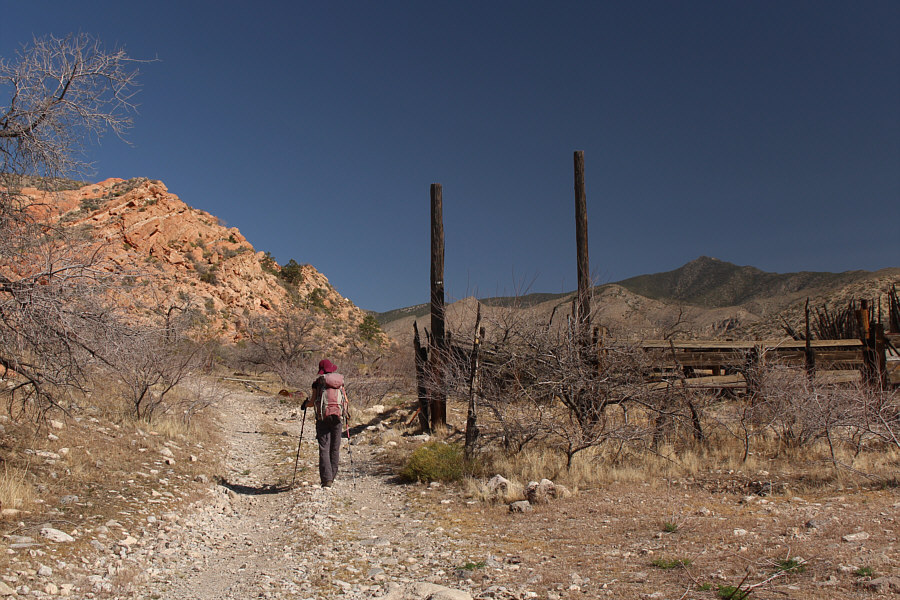
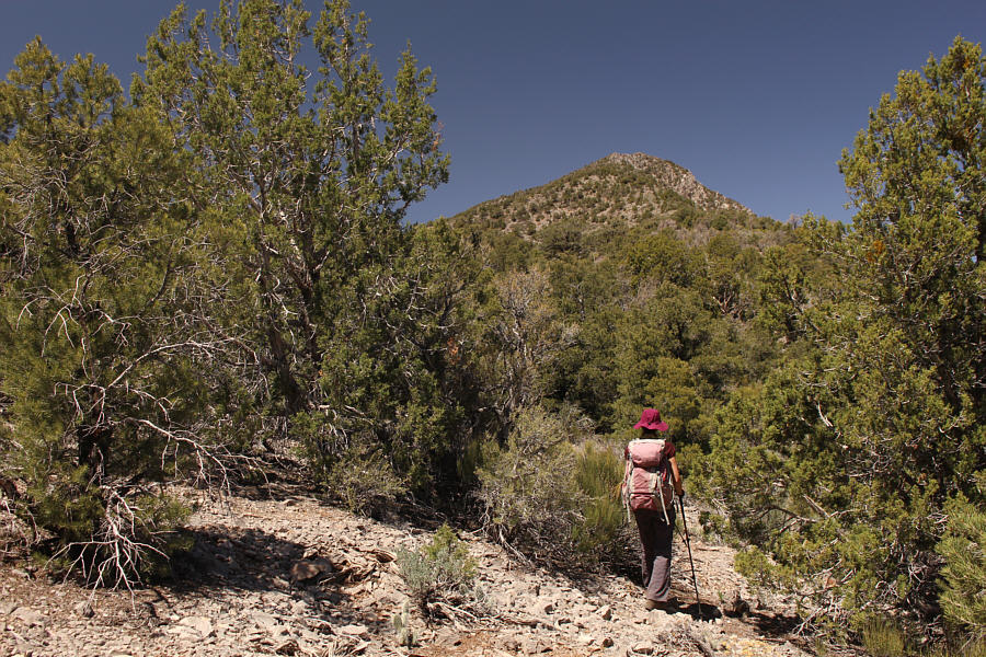
Zosia begins hiking from the remnants of a corral.  Virgin Peak is visible at distant right.

Six days on the road and I'm gonna make it home tonight!

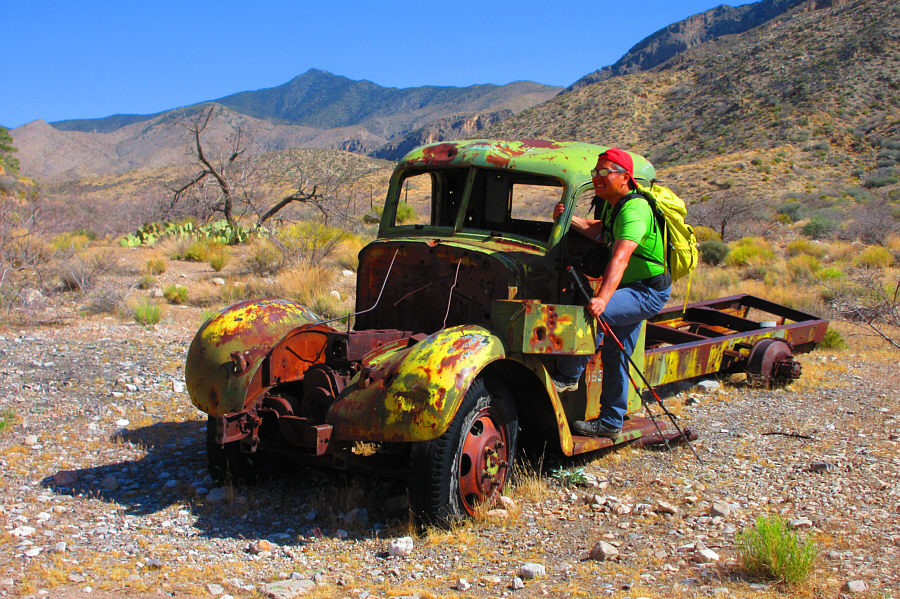
Sonny hopes to hitch a ride up the road leading to Virgin Peak.

Photo courtesy of Zosia Zgolak

It's already very scenic! The continuation of the access road follows a wash below some impressive cliffs.
Not sure if monster trucks could make it through here...

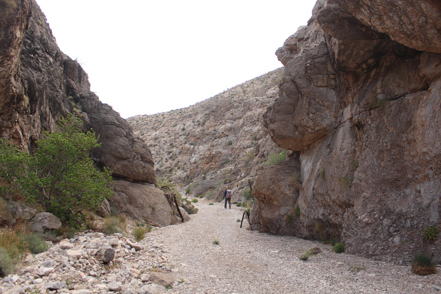
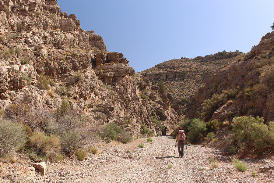
The wash goes through this narrow canyon.

This is a good spot to leave the road. 
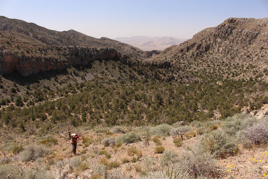
After taking a short cut and inadvertently abandoning the wash, Zosia ascends easy slopes to gain the south ridge of Virgin Peak.
Still looks so far away (actually about 3.7 km at this point)! On the crest of Virgin Peak's south ridge, Zosia studies the remainder of the route to the summit.

Lotsa interesting terrain here that would be worth exploring in the future...

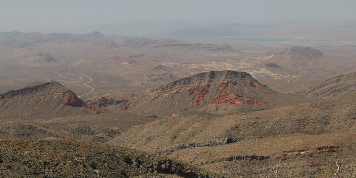
Part of Lake Mead is visible in the distance in this view to the southwest.


Never tire of seeing cactus flowers! 
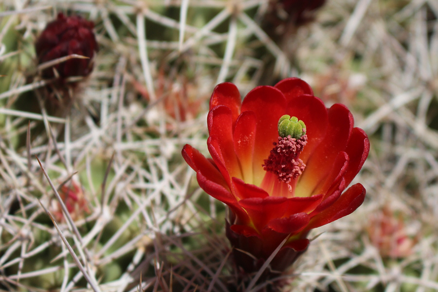
Cactus flowers are blooming all over Virgin Peak.
Spectacular!

This tree on the ridge appears to be dead, but it has yet to collapse.

Still easier than the north ridge of Kingston Peak!

More vegetation clutters the ridge as Zosia progresses up the mountain.

Yep, almost there! 
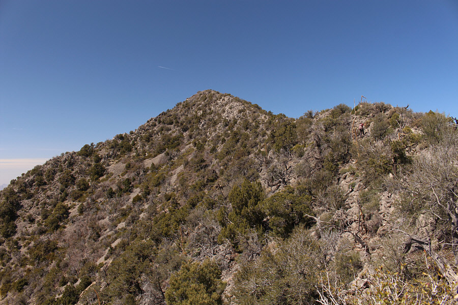
Zosia approaches the final rise before the summit.
Touched for the very first time!

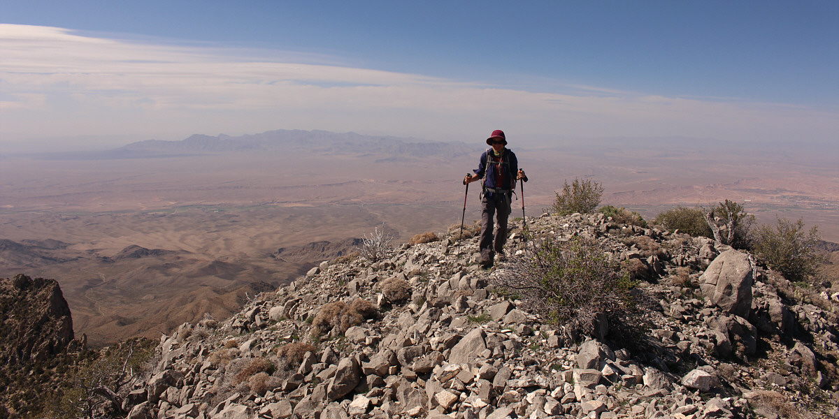
Sonny and Zosia stand on the summit of Virgin Peak (2450 metres).

Lake Mead might be dried up in a few years! 
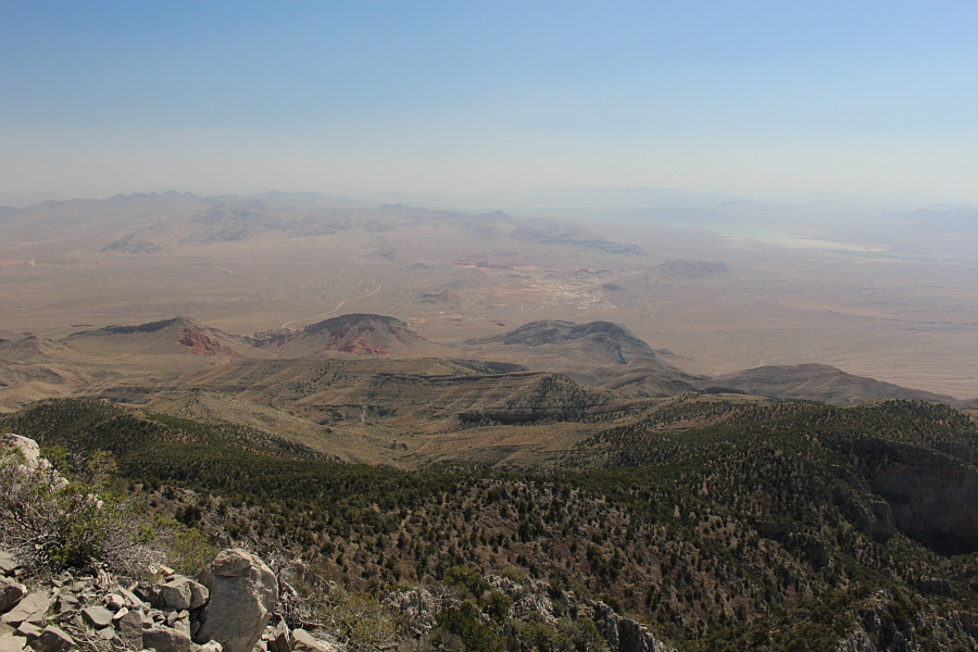
Here is a more comprehensive view of the Gold Butte area to the southwest including part of Lake Mead.
Mormon Peak will likely be a future objective for us... 
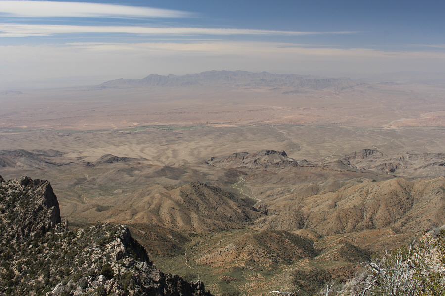
The Mormon Mountains can be seen to the northwest.
She bangs, she bangs! 
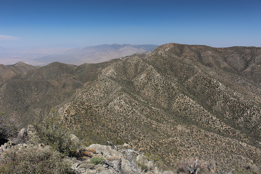
Immediately to the northeast is Virgin Peak Ridge.  Mount Bangs is also visible on the horizon just left of centre.

Let's make this quick!

Zosia prepares to leave the summit for the long trek back down the south ridge.


On the home stretch. Back in the wash, Zosia hikes out the canyon.
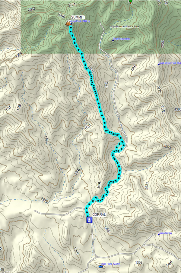
A long but generally easy outing. Total Distance:  18.3 kilometres
Round-Trip Time:  9 hours 34 minutes
Net Elevation Gain:  1204 metres

GPX Data