BOU AVENUE
Windy Point Ridge And Gleason Ridge
After an unseasonably mild autumn, winter-like weather inevitably arrived in the Canadian Rockies, and Zosia Zgolak selected a less committing front-range objective for us to hike on 23 October 2022.  That objective turned out to be Windy Point Ridge and its extension, Gleason Ridge, located in Alberta's Sheep River Provincial Park.  Both are described in Gillean Daffern's Kananaskis Country Trail Guide, but we were mostly inspired by Bob Spirko's 2016 trip report.  I had already hiked Windy Point Ridge many years ago but had never tried the extension to Gleason Ridge.  We would both find out why Gleason Ridge has remained so unpopular.

Starting from a pullout on the south side of Highway 546 (24 kilometres west of the junction with Highway 22 in Turner Valley), Zosia and I crossed to the north side and picked up a trail rising up to a gate in a fence.  Past the gate, we turned right and climbed up a steep grassy slope which ultimately narrows into a more defined ridge with trees on one side and precipitous cliffs on the other side.  Despite an abundance of snow, we were still able to follow a good trail up the ridge all the way to a scenic bump overlooking the entire Sheep River valley.  Unfortunately, this bump would be the high water mark for the day with respect to views.  From the bump, we turned north for a short climb through forest to the actual high point of unofficially-named Windy Point Ridge which has some partially open views to the west.
All of a sudden, summer transitioned into winter!

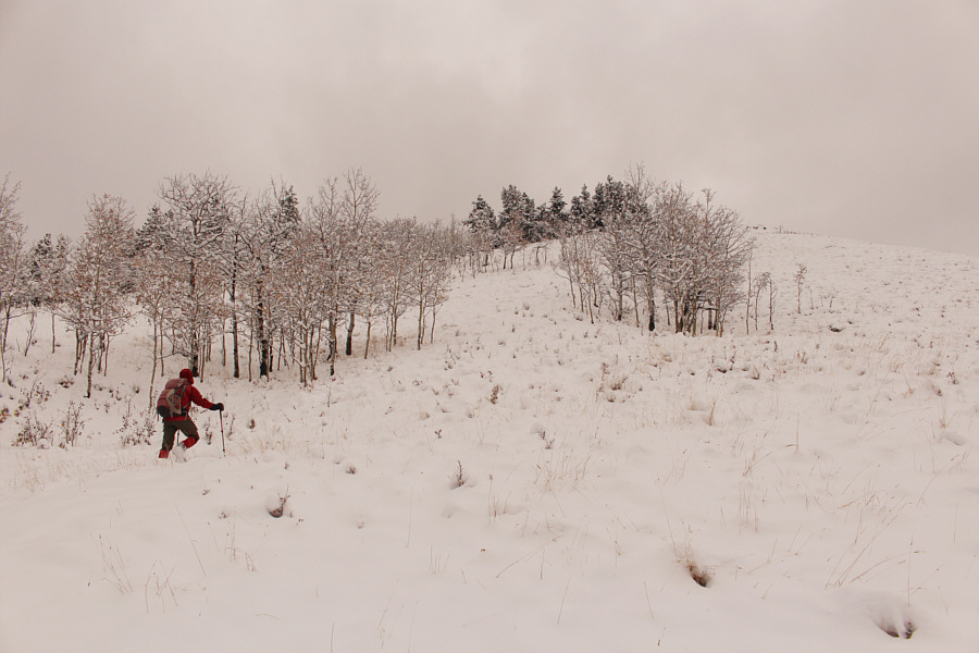
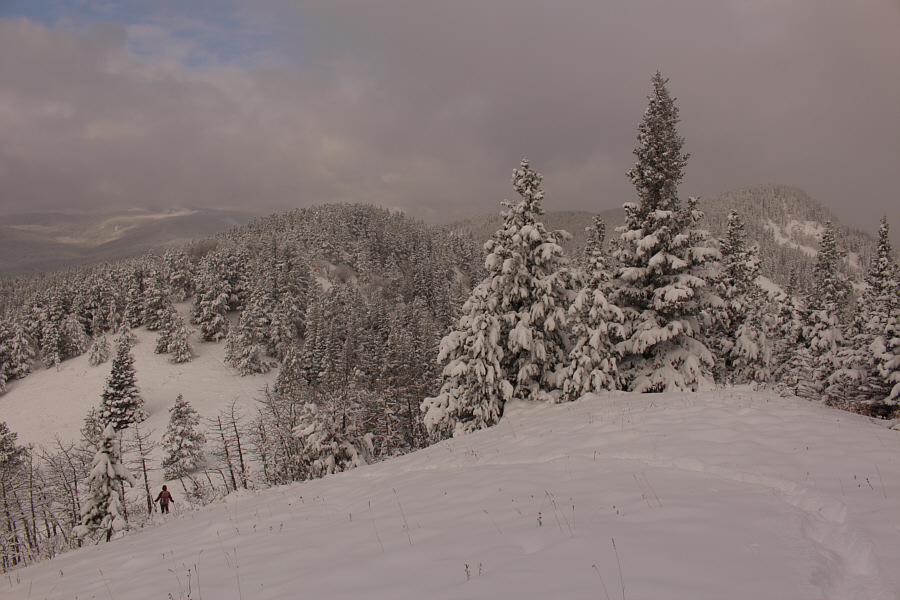
Zosia climbs the initial steep section of Windy Point Ridge.

No-slip zone!

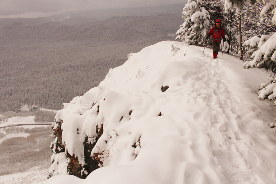
As she climbs higher up the ridge, Zosia steers clear of the big drop-off to the left.

Too bad it's right at the start of the hike! 
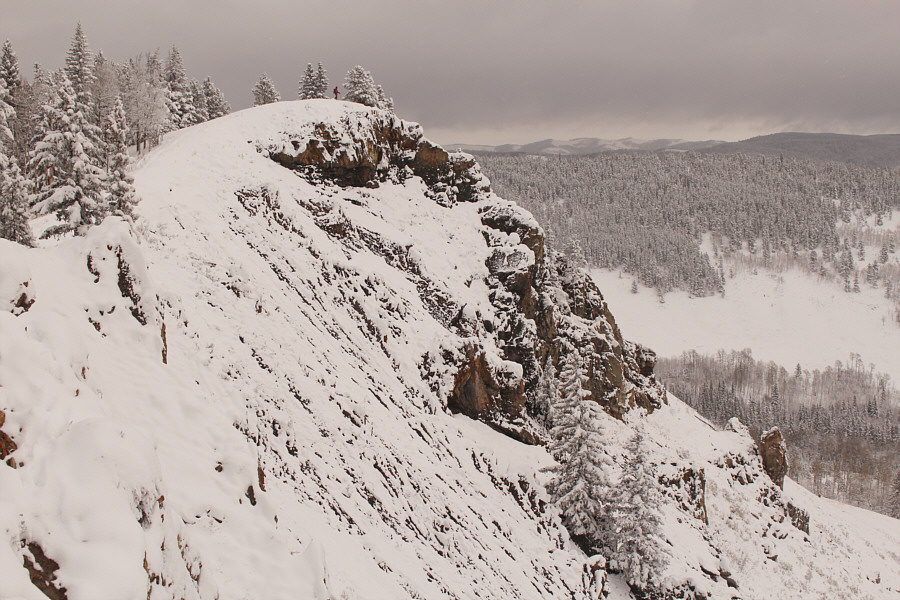
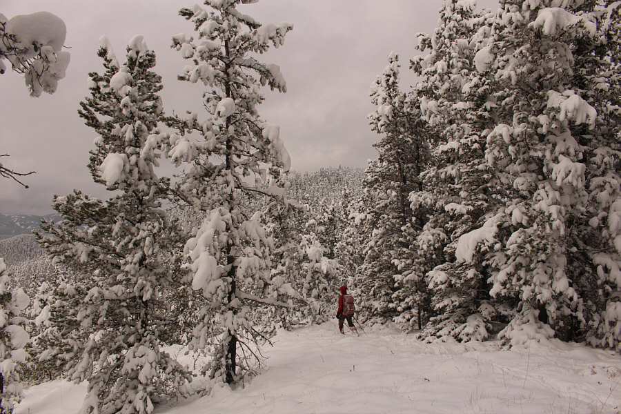
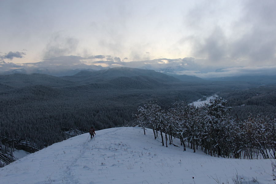
Zosia stands on the most scenic bump of the entire trip.
And there was much rejoicing! 
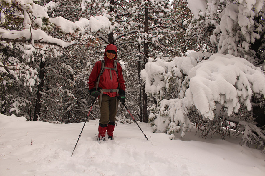
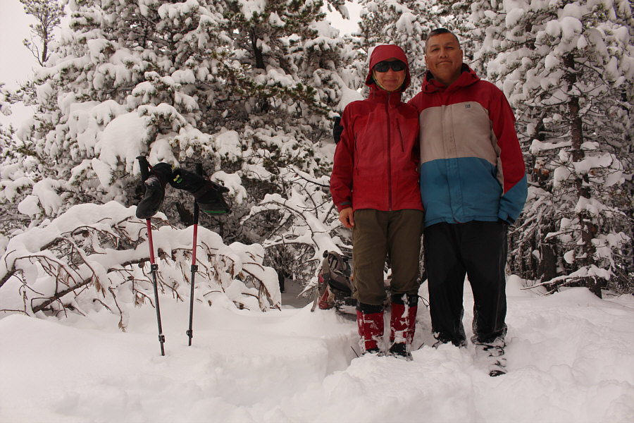
Zosia stands on the high point of Windy Point Ridge (1763 metres).
After tagging the high point of Windy Point Ridge, Zosia and I continued northward and dropped into a dip before settling into a long and uninspiring trudge along what is unofficially known as Gleason Ridge.  For the most part, we tried to stick to the forested ridge crest as much as possible with occasional detours to avoid deadfall or thicker vegetation.  There are also a couple of jogs in the ridge that require some vigilance to avoid getting off-route.  We actually missed the first one and had to do a bit of sidehill bashing to get back on track.  Zosia did a great job of breaking trail through ankle-deep snow for most of the hike, but I still slowed us down mainly because of an upset stomach.  At one point, we considered turning around given our slow progress, but loathe to come back to this dreary ridge, we decided to bite the bullet and push on.  Nearly five hours after starting out, we finally staggered onto the completely viewless high point of Gleason Ridge, and I do not recall a more joyless summit celebration than this one.

With no reason to linger, Zosia and I stopped only long enough on the high point for a quick photo and snack before backing out the way we came.  Unlike Spirko who dropped down a cut line and returned via a valley to the west, we opted to retrace our steps along the ridge since we wanted to avoid additional trail-breaking and potential route-finding problems.  Consequently, we had a lot of extra elevation gain by returning along the undulating ridge, but other than being rather boring, the walk back out was very straightforward.  Near the high point of Windy Point Ridge, we encountered a small herd of bighorn sheep which perked us up a bit, and the final steep descent down to the highway required some concentration due to slippery conditions.
Trust me, you should just turn around here and go home! Zosia drops into a dip which is the de facto start of Gleason Ridge.
Gleason Ridge is ripe for some clear-cutting! Snow-laden trees are about the only things to see during the long hike along Gleason Ridge.
Gleason Ridge sucks. Zosia and Sonny stand on the nondescript high point of Gleason Ridge (1814 metres).
Pretty...boring! 
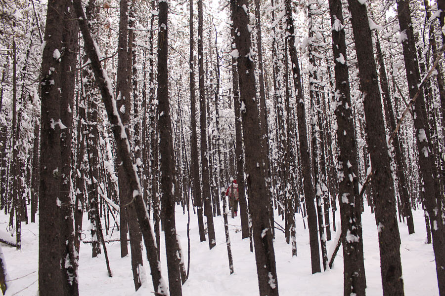
Zosia weaves between snowy tree trunks on the return trip.

Mon dieu, break out the sunscreen!

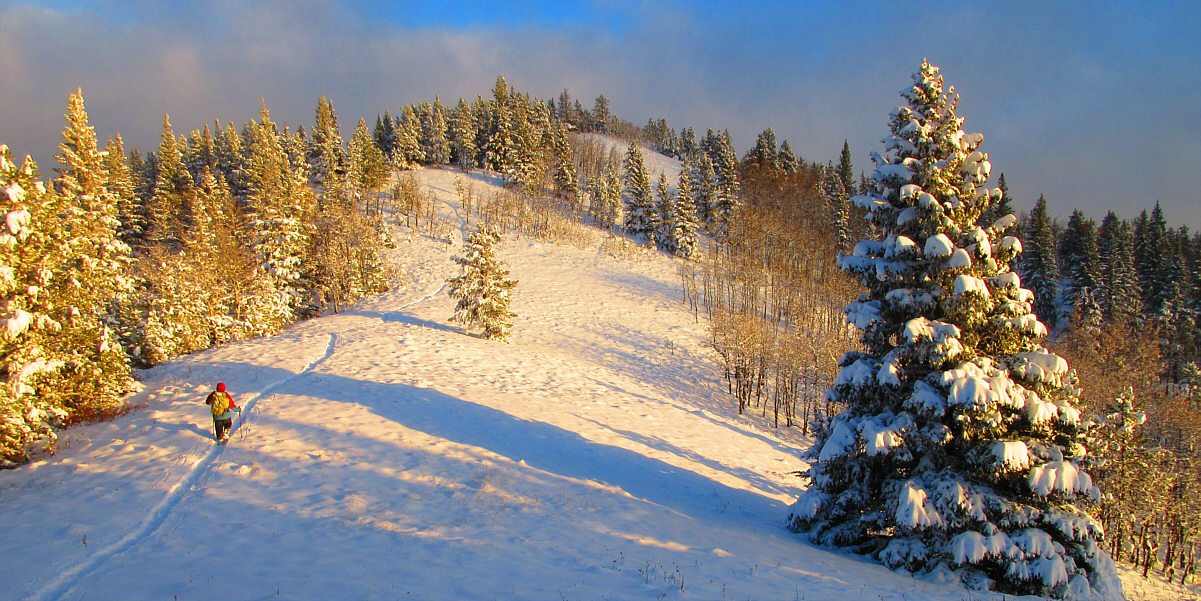
Late day sunshine illuminates the terrain as Sonny begins climbing back over Windy Point Ridge.

Photo courtesy of Zosia Zgolak


See ya, sunshine! 
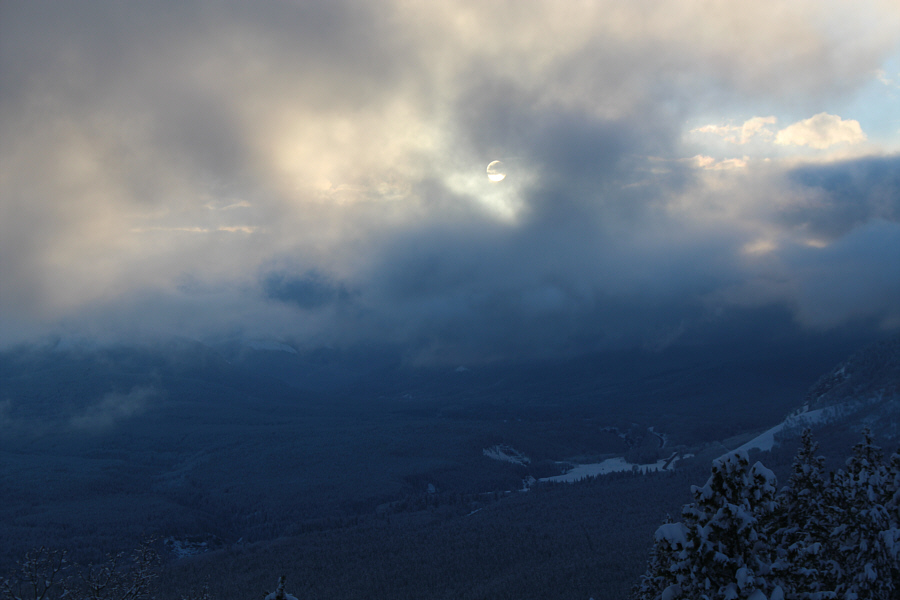
Low on the horizon, the sun is partly obscured by clouds to the west.
Baaaaaaa! 
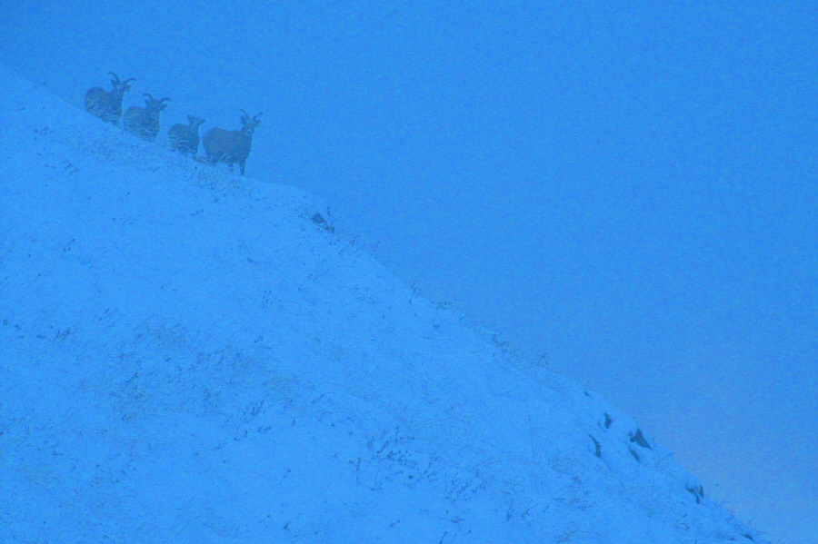
A herd of sheep watch warily from a distance in growing darkness.

Photo courtesy of Zosia Zgolak

Keepin' it simple and stayin' in the tracks! 
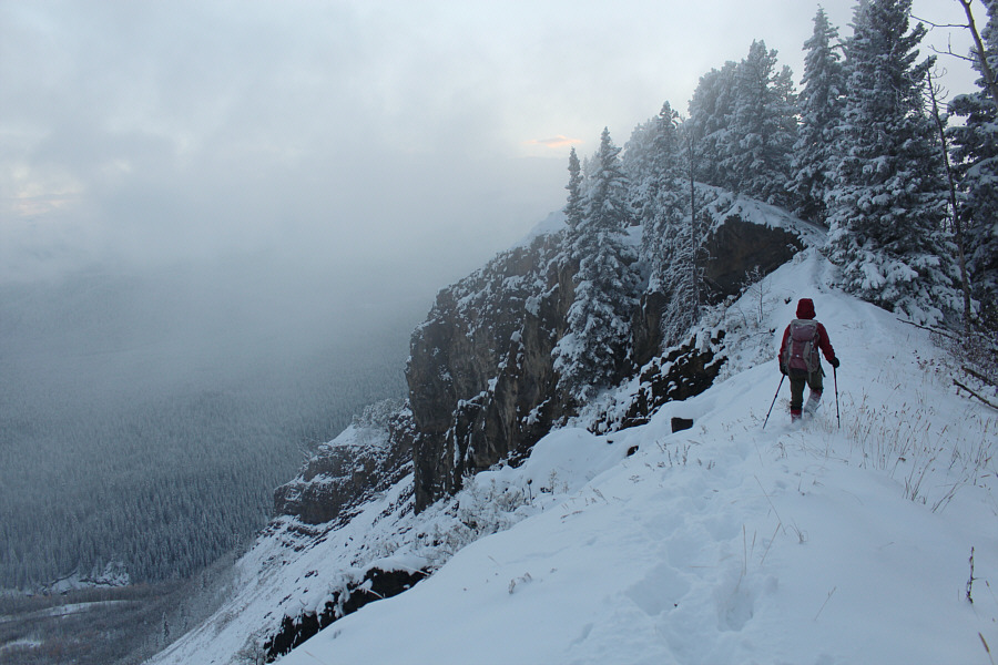
Zosia carefully makes her way back to the south end of Windy Point Ridge.
Goodnight! The sky begins to clear up after sunset as Zosia descends the end of the ridge.
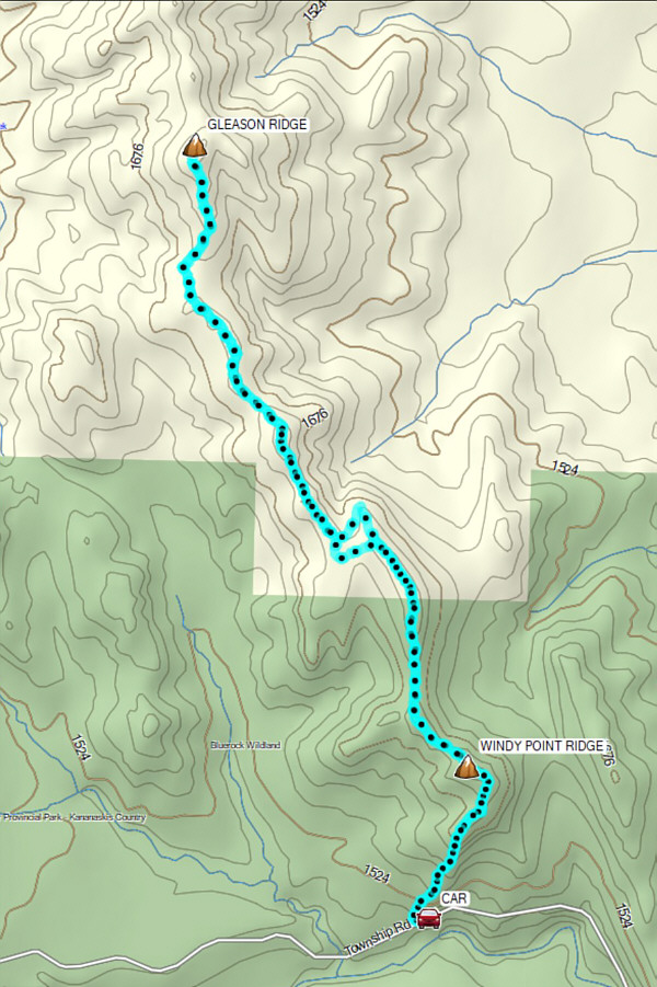
Just do Windy Point Ridge and skip Gleason Ridge! Total Distance:  13.6 kilometres
Round-Trip Time:  8 hours 2 minutes
Cumulative Elevation Gain:  953 metres

GPX Data