For our descent, Zosia and I simply retraced our steps along the same trail and had no trouble returning to the trailhead. In retrospect, I think we still could have tackled the long slog up Tanque Verde Peak, but Agua Caliente Hill turned out to be a more than adequate alternative. We still got to see saguaro cacti and comprehensive views of Tucson, and the overall trip felt very pleasant and relaxed. It was an excellent way to wind down our whirlwind road trip which included visiting three US states and five US National Parks, driving over 3800 kilometres, and tagging thirteen new summits.
 |
Saguaro cacti are in abundance as Zosia hikes along the trail to Agua Caliente Hill. |
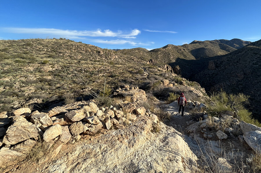 |
From here, the high point of Agua Caliente Hill is somewhere behind the dark ridges at far right. |
 |
The trail eventually climbs up the ridge at upper right. |
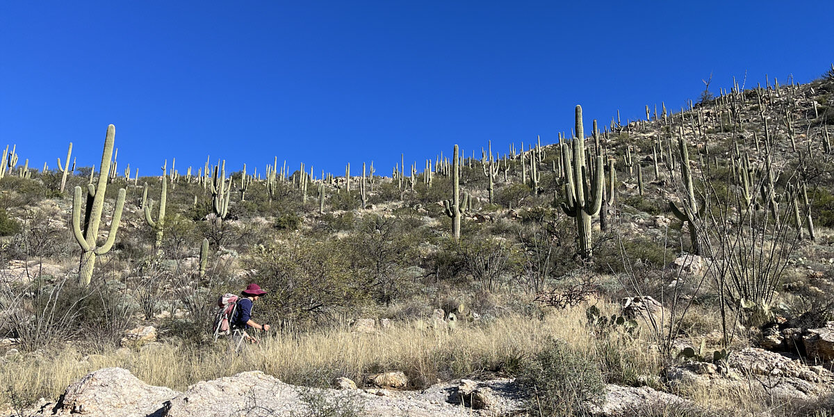
Zosia passes more saguaro cacti along the trail.
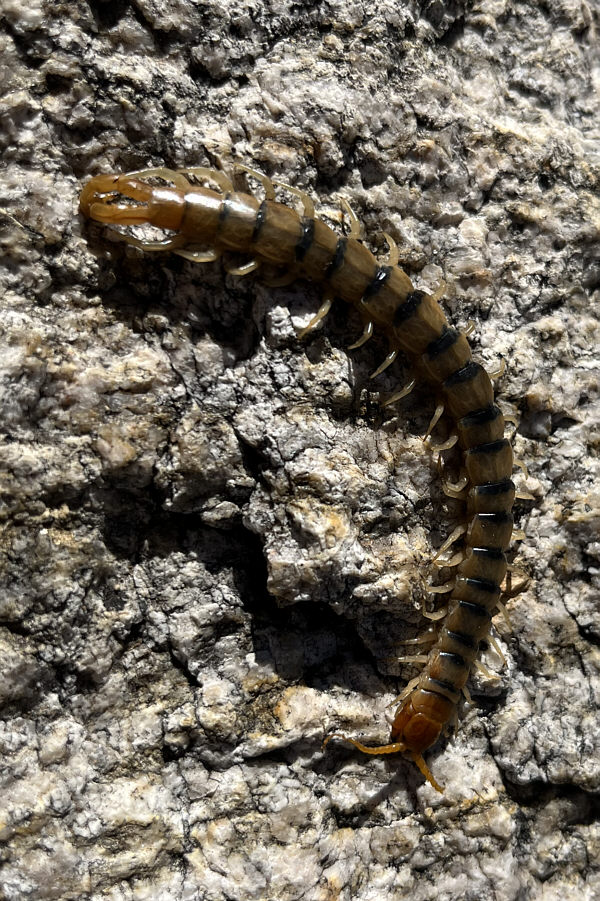 |
This common desert centipede is only about 8 centimetres long. |
 |
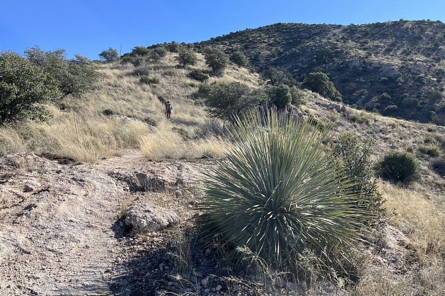
As Zosia gains elevation on the ridge, the saguaro cacti begin to thin out. |

The high point of Agua Caliente Hill is within sight.
 |
Zosia climbs up the final stretch of trail before the top. The plant in the foreground is a sotol. |
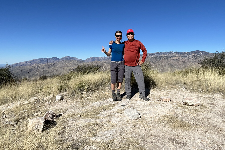 |
Zosia and Sonny stand over a benchmark on the high point of Agua Caliente Hill (1631 metres). |
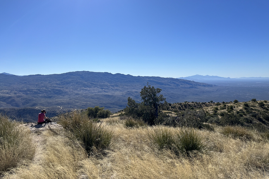 |
The view to the south includes Tanque Verde Peak (left) and Mount Wrightson (right horizon). |
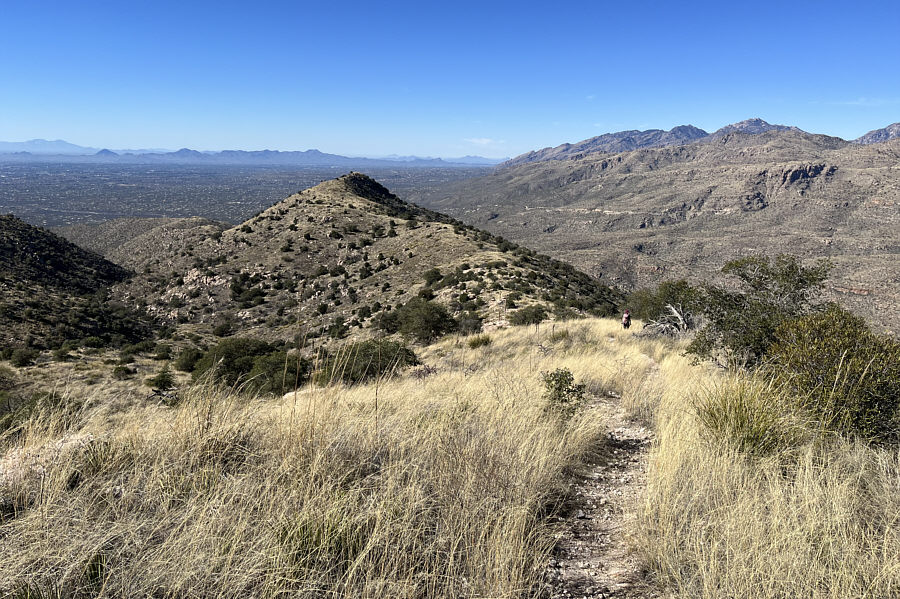 |
As Zosia returns along the ridge, the city of Tucson seemingly fills the entire valley to the west. |
 |
Saguaro cacti reappear at lower elevations. |
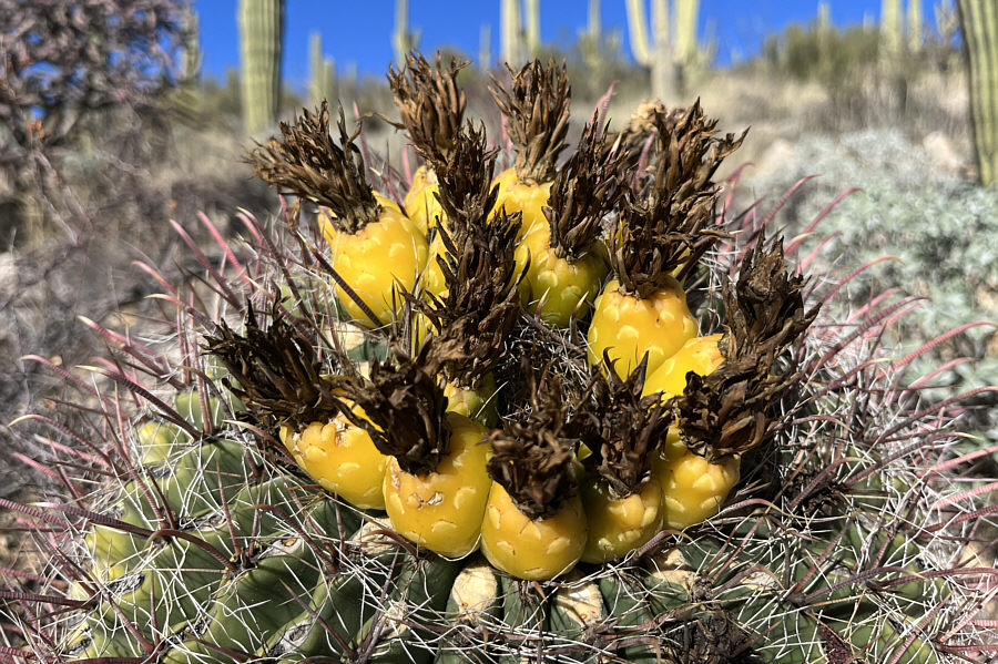 |
These barrel cactus fruits resemble little pineapples. |
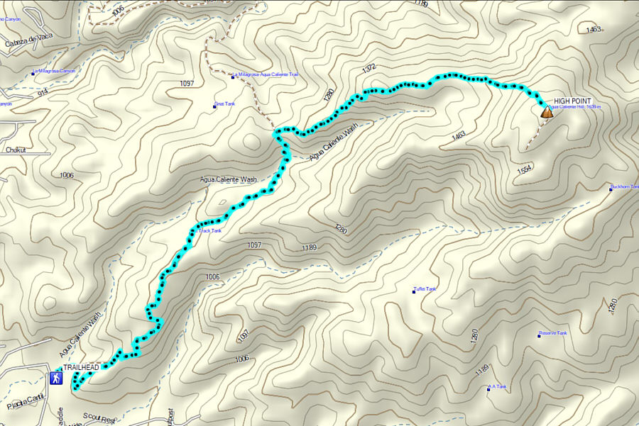 |
Total
Distance: 14.8 kilometres Round-Trip Time: 6 hours 54 minutes Cumulative Elevation Gain: ~825 metres |