BOU AVENUE
Cataract Mountain And Police Outpost Provincial Park
On 23 September 2023, Zosia Zgolak and I hiked up Cataract Mountain in Montana's Glacier National Park.  The impetus for this trip was to take advantage of free admission to the park since it was National Public Lands Day, and I had not yet purchased another US National Parks annual pass.  Unfortunately, the weather forecast for this day was not particularly great, and consequently, we chose a simple objective with a good approach trail, no bushwhacking, and no serious route-finding challenges.

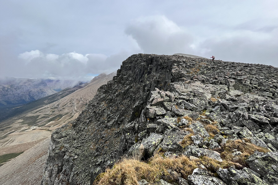
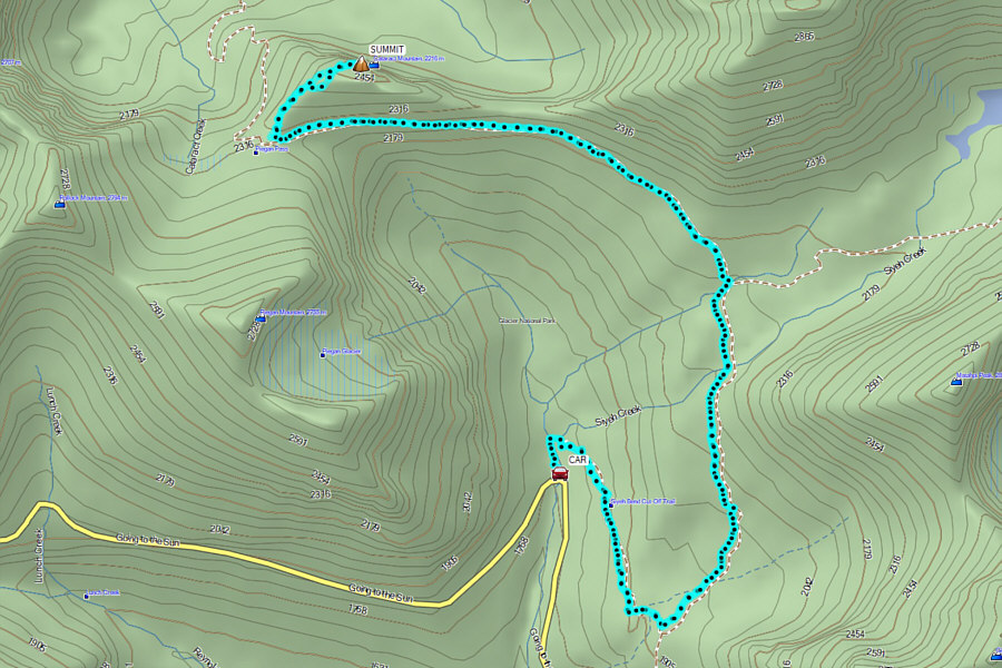
Starting from the trailhead at Siyeh Bend along Going-to-the-Sun Road (24.0 kilometres west of the park gate near Saint Mary), Zosia and I hiked the well-maintained 7.5-kilometre long trail to Piegan Pass.  All junctions are signed, and we had no problems making it to the pass in just under 2.5 hours.  From there, we left the trail and turned right to ascend the broad and gentle west ridge of Cataract Mountain.  Although the ridge is not technically difficult, a little bit of route-finding helps to avoid some of the more tedious stretches of ankle-breaking rubble.  We found it was best to stick closer to the crest near the precipitous drop-off on the north side of the ridge.  Disappointingly, clouds obscured much of the surrounding views when we arrived at the summit, and a bone-chilling wind prompted us to descend as soon as we had snapped a requisite summit photo.  We huddled out of the wind lower down the ridge for a half-hour break before resuming our descent.  Upon regaining the trail at the pass, we hiked back to the trailhead in a little over 2 hours.
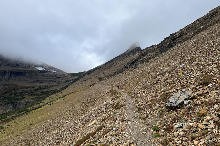
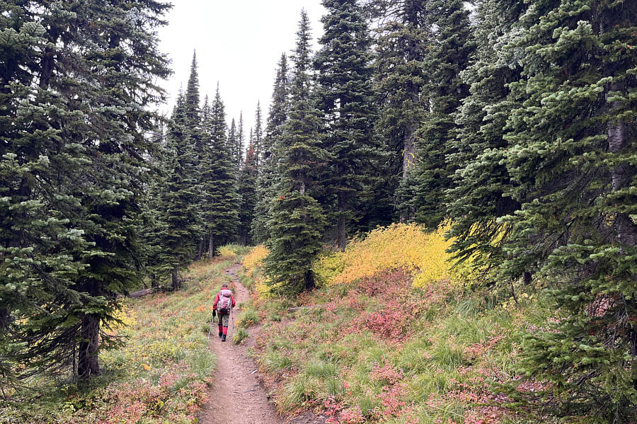
Excellent trail even in wet weather.

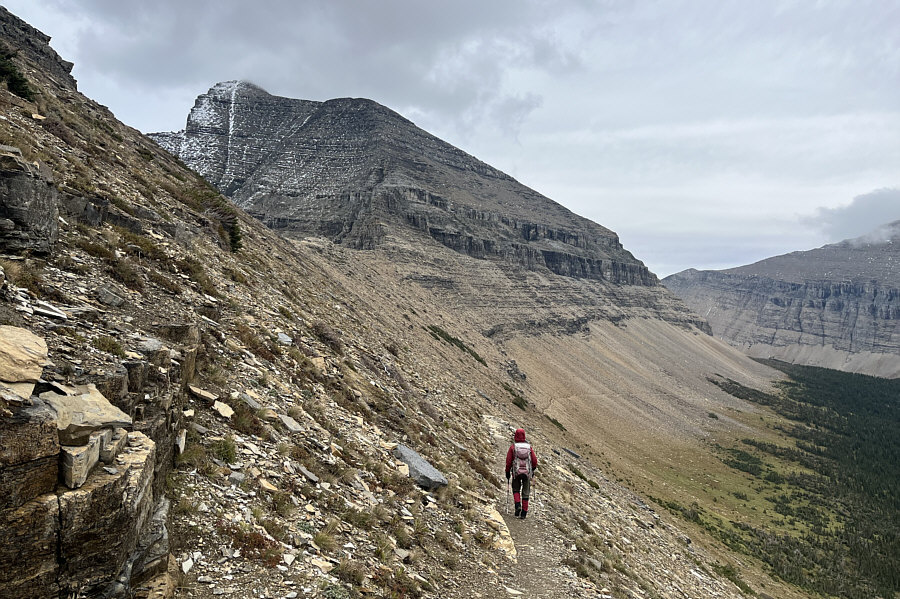
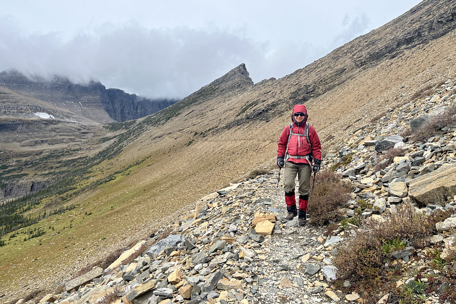
The trail to Piegan Pass is well-maintained and a pleasure to hike.
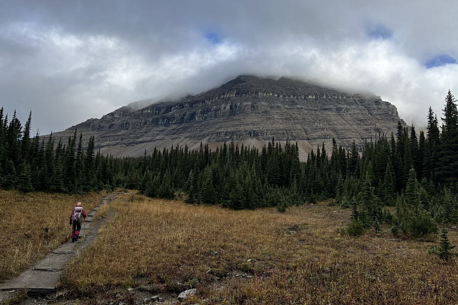
Darn clouds!

Mount Siyeh is shrouded in clouds as Zosia crosses a glade.
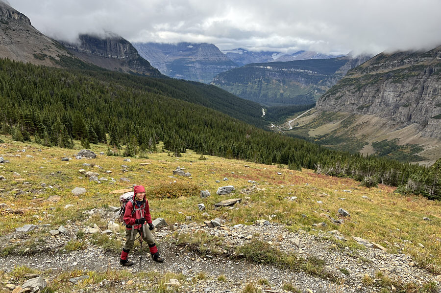
I think I can see my car! As Zosia breaks out of the forest, Siyeh Bend (trailhead) can be seen in the distance.
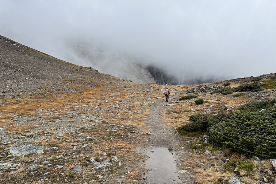
I miss hiking the superb trails in this park! Cataract Mountain is barely visible through the mist as Zosia approaches Piegan Pass (left).
At least it's deserted! Zosia arrives at Piegan Pass.

Looks more like a whale's back!

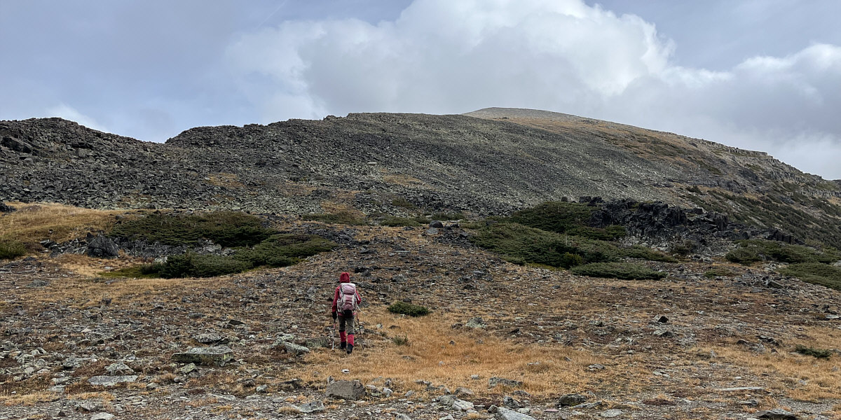
From Piegan Pass, Zosia leaves the trail and heads up the west ridge of Cataract Mountain.
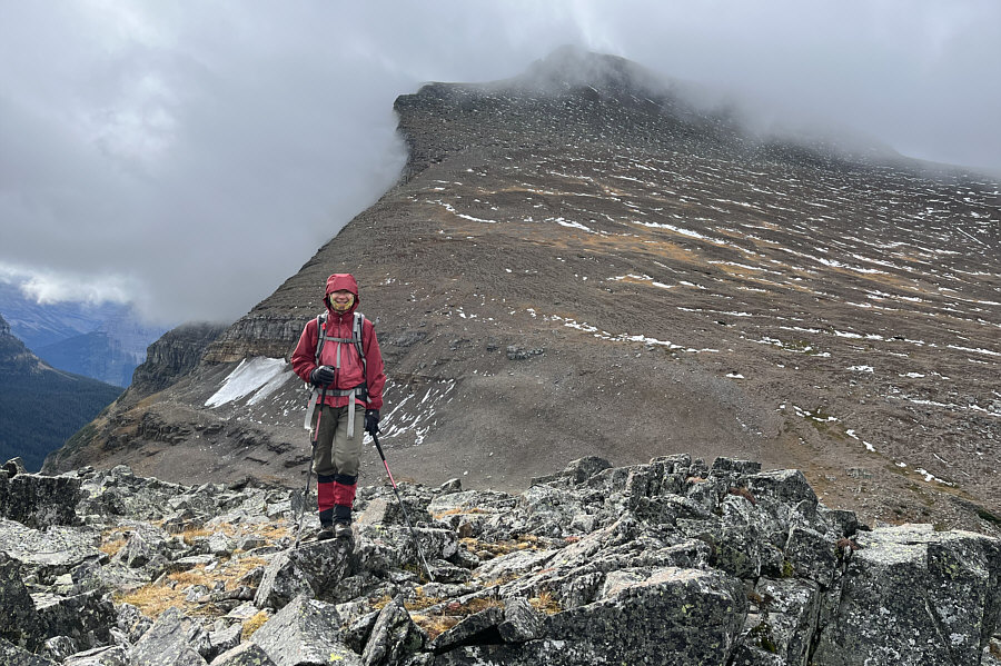
 

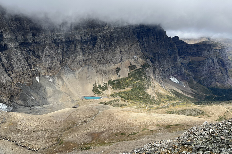
This viewpoint would be unbelievably popular if it could be accessed by a good trail. Behind Zosia is the north face of Piegan Mountain.
Swimming hole? A small tarn attracts all the attention on the far side of Piegan Pass.
Some bits of beaten path but no trail per se. The ascent of Cataract Mountain is not technically difficult, but the footing on the rocks can be a bit tedious at times.
Just unlucky with the weather today!

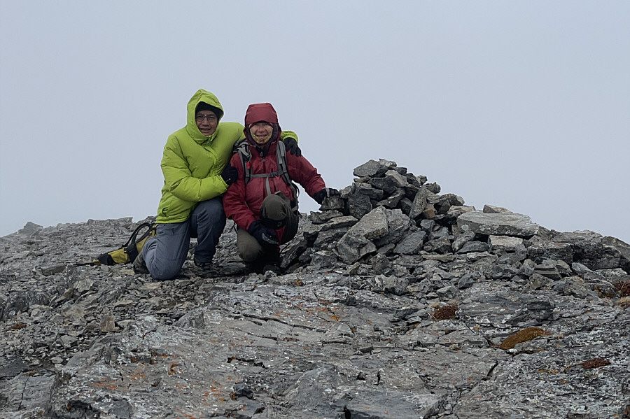
Buffeted by strong winds, Sonny and Zosia crouch beside the cairn on the summit of Cataract Mountain (2502 metres).

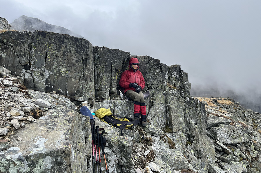
Might have been better to go back to Piegan Pass to have lunch!

Zosia takes shelter from the wind to eat her lunch.

We'll come back for Matahpi on another day.

In this view to the southeast from near Piegan Pass, the tops of Matahpi Peak and Going-to-the-Sun Mountain are almost obscured by mist.

Impressive face even with cloudy conditions!

A sliver of Piegan Glacier is visible along the east face of Piegan Mountain.

The easiest 10K footer to climb in the park.

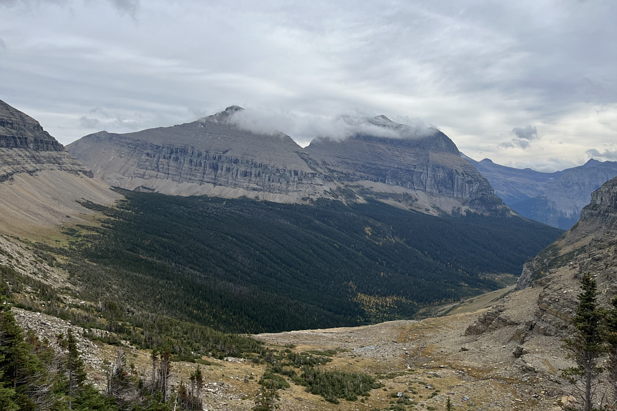
The clouds begin to lift revealing the top of Mount Siyeh.

Now it looks like a sexy peak!

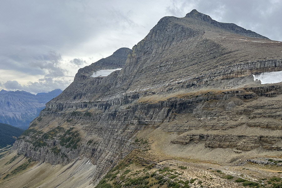
The top of Cataract Mountain is finally visible and looks sharp from this angle.

And of course, the sun comes out just as we get back to the trailhead...DOH!

Not far from the trailhead is this final view of Cataract Mountain (left) and Mount Siyeh (right).

This would be a fabulous hike in sunnier conditions. Total Distance:  16.1 kilometres
Round-Trip Time:  6 hours 17 minutes
Cumulative Elevation Gain:  706 metres

GPX Data

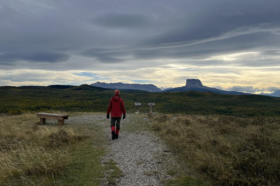
With a lot of daylight left, Zosia and I drove back across the border and paid a visit to Alberta's Police Outpost Provincial Park.  We had been wanting to visit this charming little park for quite some time, but because of its somewhat remote location along the US border, we could never find the right opportunity to make it a worthwhile diversion from our usual travels until now.  Despite its small size, the park offers plenty of recreation opportunities such as camping (by reservation only), boating, fishing, bird-watching, and hiking.  The sight of Montana's Chief Mountain from nearly every vantage point in the park is also a bonus.  Zosia and I did a loop hike which included a visit to the US-Canada boundary marker and an ascent of the park's high point on an unnamed hill.  We then explored a small island in Outpost Lake before enjoying a nice picnic dinner at the park's day use area.  While it was tempting to stay for the night, we did not have a campsite reservation, and as such, we simply drove out of the park and camped elsewhere.

A surprisingly beautiful park!

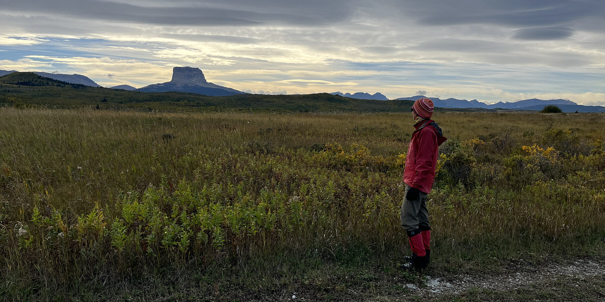
Zosia stops to admire Chief Mountain while walking in Police Outpost Provincial Park.
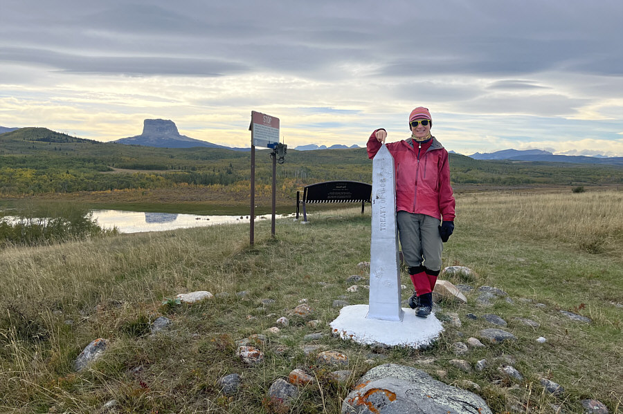
 

Oranges are not allowed across the border!

Zosia tags the US-Canada boundary marker at the south edge of the park.

Blah, blah, blah...

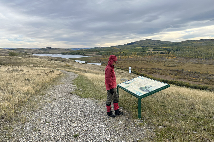
Zosia reads an interpretive sign in the park.  In the distance, Pike Lake is on the US side of the border.

Can I claim another summit?

Zosia walks to the top of an unnamed hill which is highest point in the park.

How convenient!

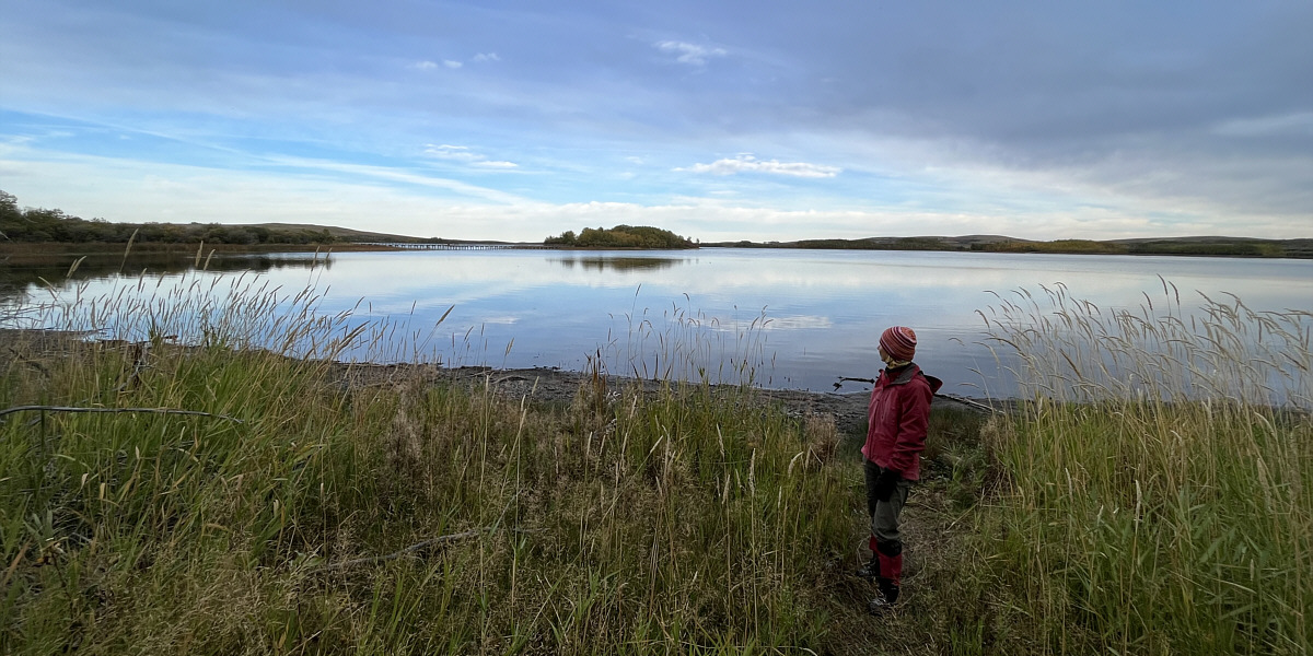
Zosia eyes a footbridge which provides access to an island in Outpost Lake.
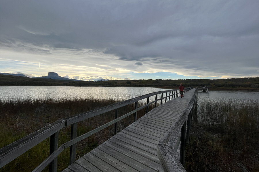
 

Unfortunately, there's not much of interest on the island.

Zosia crosses the footbridge to explore the island.

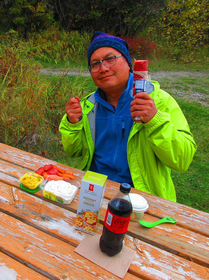
Smacznego!

Tonight's dinner includes hummus, carrots, potato salad, rosemary crackers, spicy salami, Coke Zero, and peanut butter cookie dough.

Photo courtesy of Zosia Zgolak