BOU AVENUE
Corte Madera Mountain And Los Pinos Mountain
Closing out the year on 31 December 2023, Zosia Zgolak and I ascended Corte Madera Mountain and Los Pinos Mountain located in Cleveland National Forest near the community of Pine Valley, California.  As described in numerous online trip reports, both mountains are easily accessed via maintained trails or roads and can be reasonably combined in a single day hike.  Corte Madera Mountain is sometimes described as the "Half Dome of San Diego" due to its impressive south-facing cliffs while the higher Los Pinos Mountain is home to the only remaining active fire lookout tower in Cleveland National Forest.

From I-8, turn off onto Buckman Springs Road at Exit 51.  Drive west and then south for 5.4 kilometres and turn right onto Corral Canyon Road (mostly paved).  Ignore all side roads and drive 7.7 kilometres to a small pullout on the left.  Park here (A National Forest Adventure Pass or America The Beautiful Interagency Pass is required).  The signed trailhead is on the opposite side of the road just before the pullout and basically circumvents a locked gate guarding a semi-private driveway.

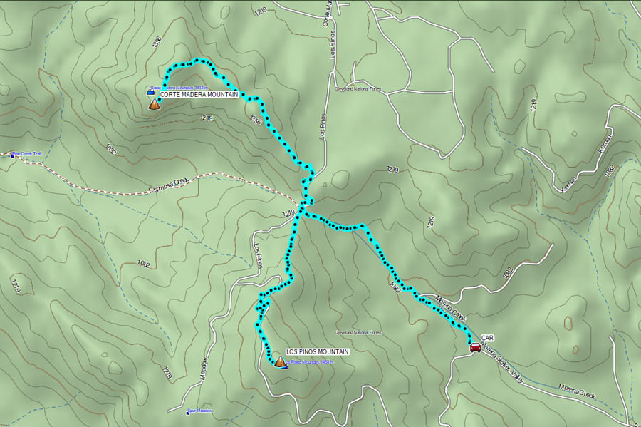
Bypassing the locked gate, Zosia and I walked up the driveway which presumably allows access to some nearby private residences.  About 800 metres from the gate, we left the driveway at a signed turnoff and began following a good trail.  In another 1.6 kilometres, we climbed up to a 5-way junction at a pass where we got our first clear view of Corte Madera Mountain.  Turning right and heading northward, we walked up a dirt road for 560 metres to another signed but less obvious turnoff.  This is the start of the proper trail to the top of Corte Madera Mountain.  We followed this trail over and around a few minor humps with some annoying dips in between, but overall, we had no serious issues reaching Corte Madera Mountain's summit plateau.  While the "summit" register is located on a rocky ledge overlooking the mountain's impressive south-facing precipice, the true high point is on top of a massive boulder which would require technical climbing and probably ropes to surmount safely.  Most hikers simply sign the register to claim the summit, but for a more satisfying sense of accomplishment, we scrambled up some slightly higher boulders just above the rocky ledge.
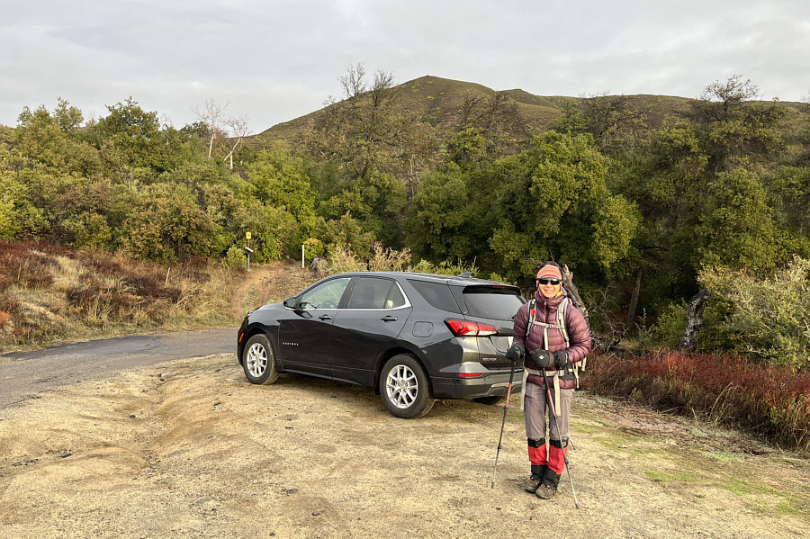
First on the trail today! Zosia is ready to start hiking at the trailhead.
There sure are a lot of private residences on National Forest land!

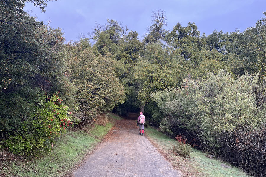
The first part of the hike is along a driveway leading to some private residences.
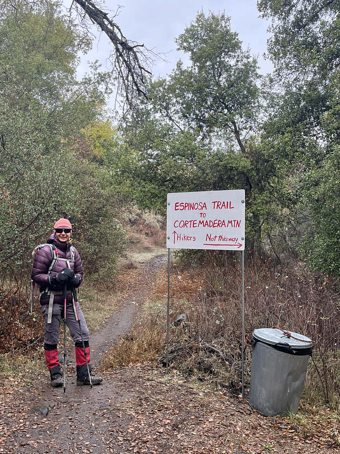
And a convenient garbage can to boot! This helpful sign points hikers in the right direction.
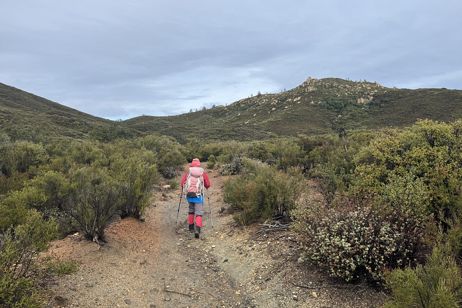
Easy hiking here!

The trail leads to the pass at distant left.
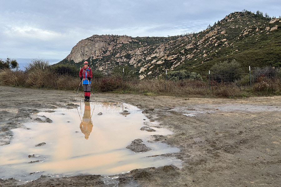
Here's mud in your eye! Zosia is reflected in a muddy puddle on a road at the pass.  Visible behind her is Corte Madera Mountain.

We'll see you later, Los Pinos!

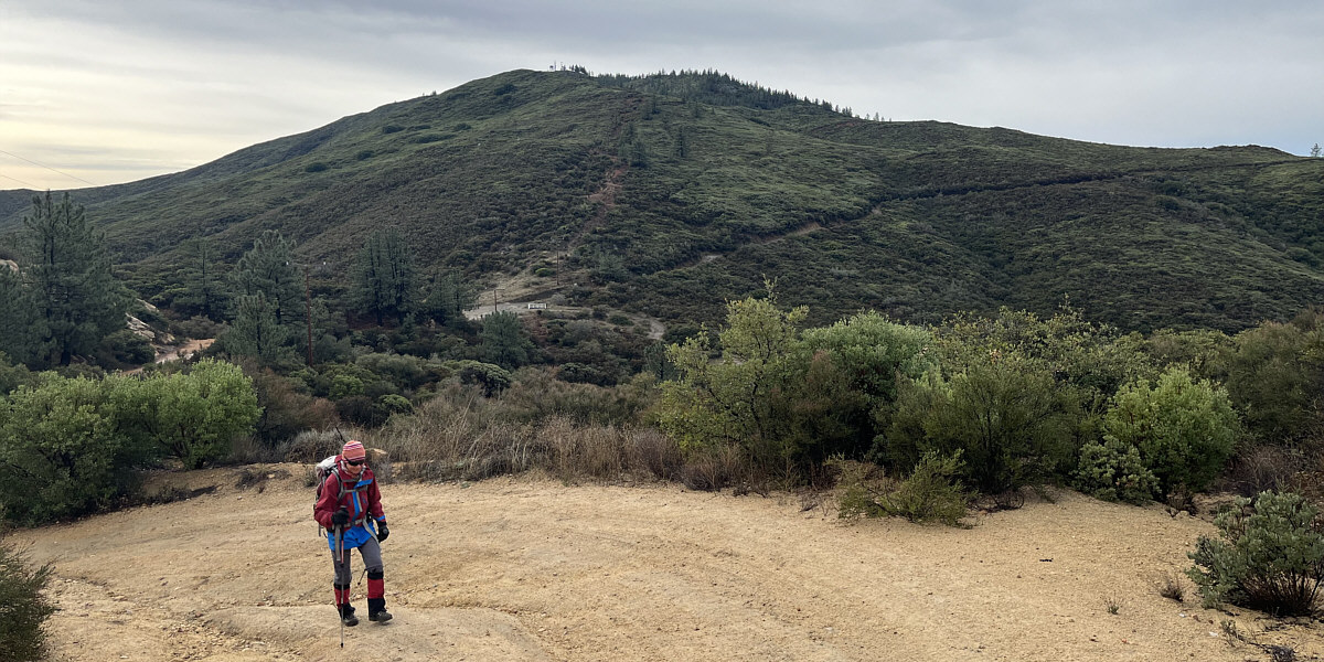
Zosia hikes up the access road to Corte Madera Mountain.  Los Pinos Mountain dominates the background.
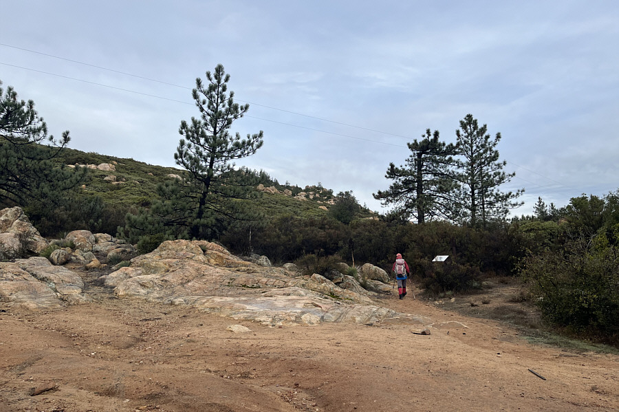
 

Blink and you may miss it! The trail to Corte Madera Mountain begins at this sign beside the access road.
Thank goodness there's a defined trail!

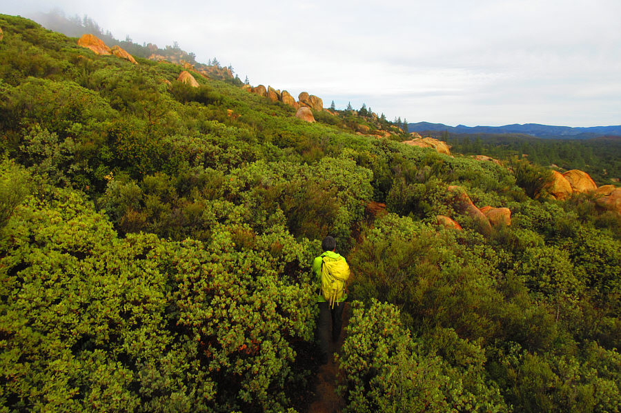
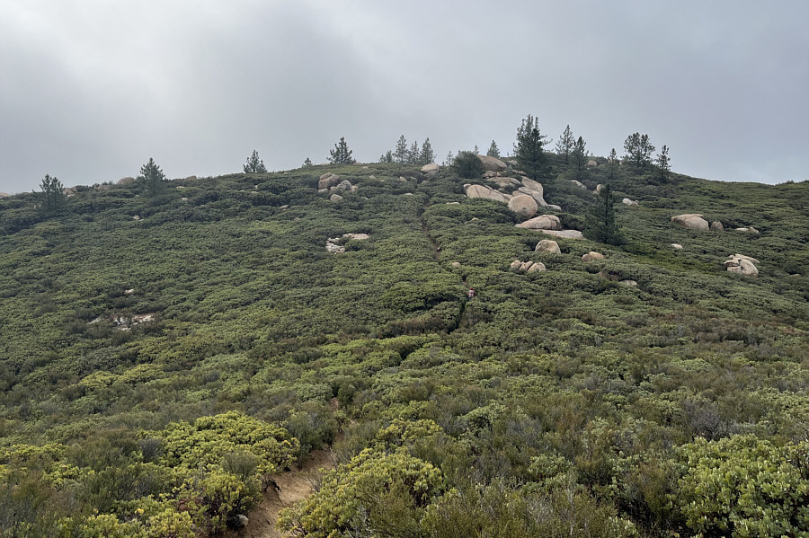
The vegetation on the mountain is extremely dense.

Photo courtesy of Zosia Zgolak

There are a few annoying ups and downs along the route.

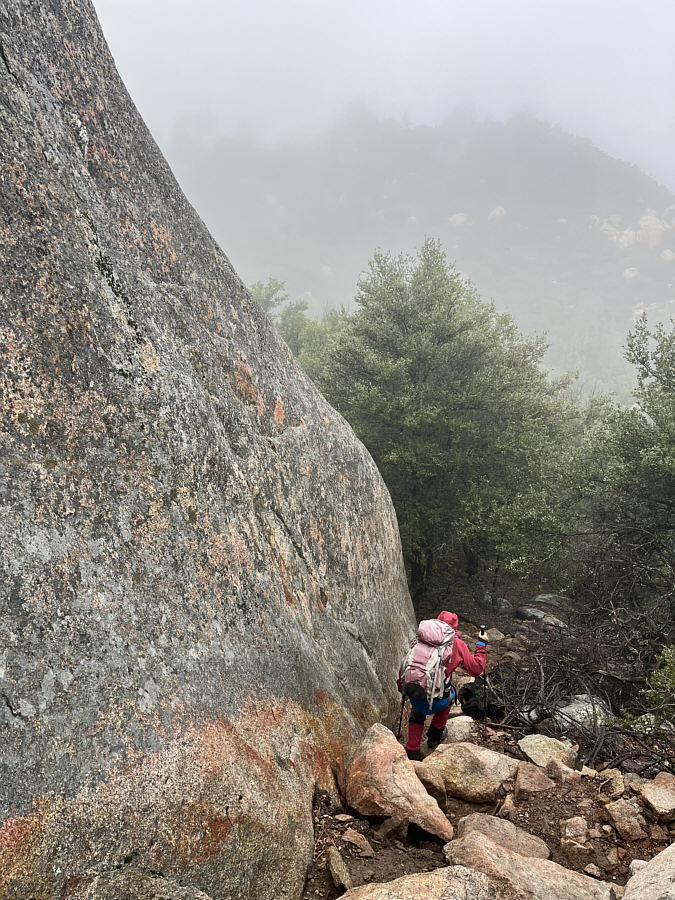
Zosia drops down a steep section of trail beside a large boulder.

Definitely don't want one of these babies dropping on your head!

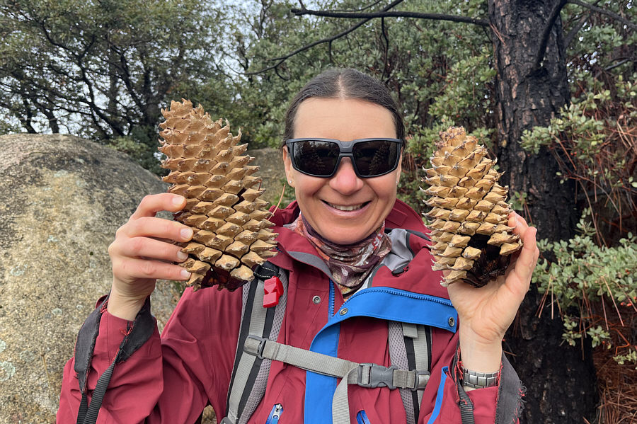
These pine cones are exceptionally heavy.

Or the last annoying dip...

Zosia climbs up the last rise before the top of Corte Madera Mountain.

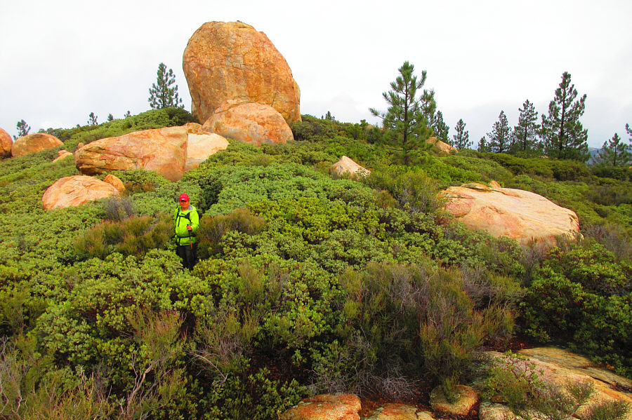
Need an earthquake to roll that big boulder off the mountain!

The boulder behind Sonny is the true high point of Corte Madera Mountain but requires technical climbing to surmount.

Photo courtesy of Zosia Zgolak

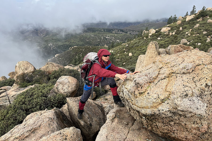
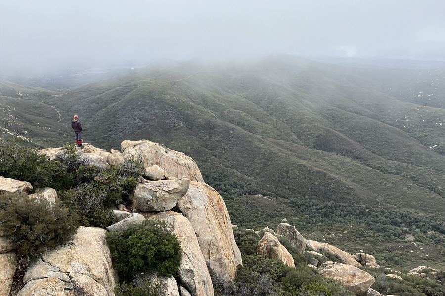
There is some exposure here!

Zosia scrambles up some boulders near the end of the trail at the top of Corte Madera Mountain.

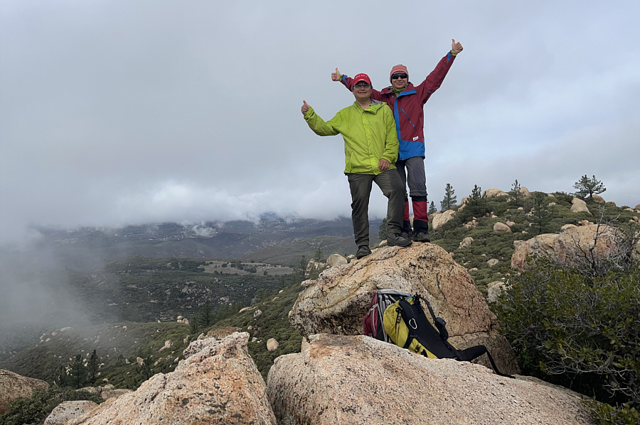
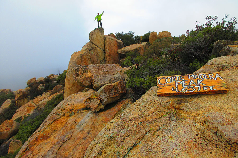
Not the true summit but a nice accomplishment nonetheless!

This boulder is the highest point reached (1422 metres) by Sonny and Zosia on Corte Madera Mountain.

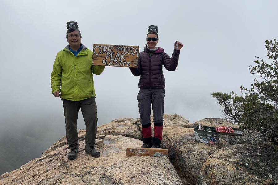
Happy (early) New Year!

The "summit" sign and register are located on a lower rocky ledge.

"Corte madera" means "wood cutting" according to Google Translate.

Sonny returns to pose on the high point that he and Zosia climbed earlier.

Photo courtesy of Zosia Zgolak

Damn clouds!

Here is look back from the high point at the rocky ledge with the register.  Los Pinos Mountain is mostly obscured by clouds at the moment.

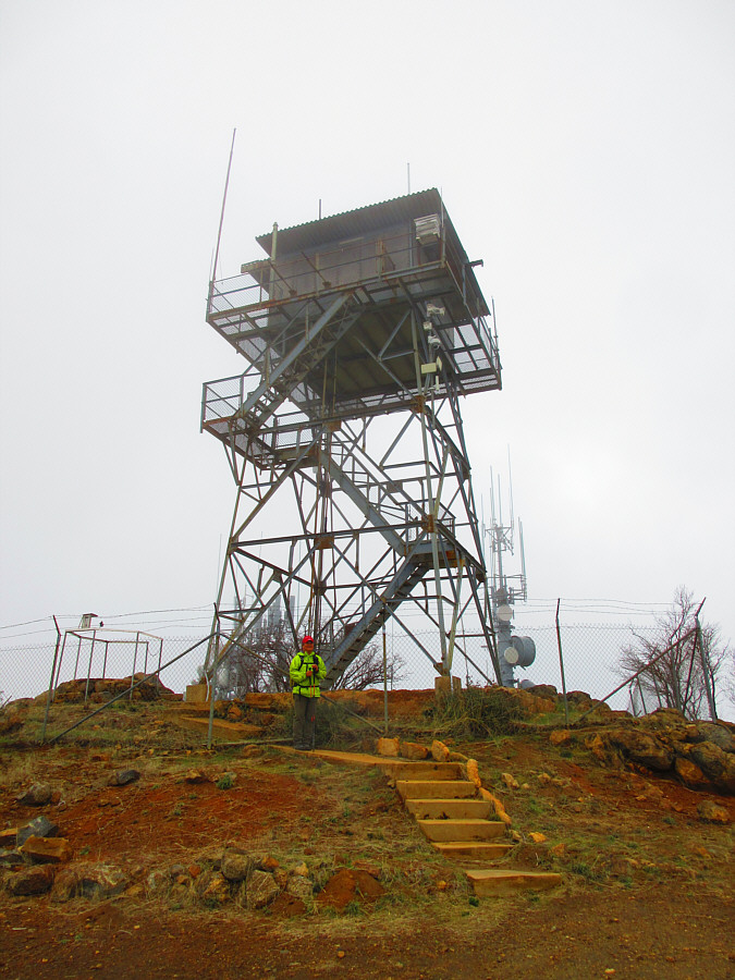
When we had played around long enough on top of Corte Madera Mountain, Zosia and I backtracked along the trail all the way to the 5-way junction.  Instead of following a long-winded road that zigzags up Los Pinos Mountain, we opted to take a steeper but more direct route along a power line right-of-way going straight up the north ridge.  Despite the rough appearance of the right-of-way, the footing here was surprisingly good, and the ascent turned out to be easier than expected.  The route via the right-of-way ultimately joins the long-winded road higher up after going over a minor bump, and we easily walked the remainder of the road to the top of Los Pinos Mountain.  As mentioned, an active fire lookout tower occupies the summit, but on this day, it was unmanned.  Unfortunately, the true high point is on a stony platform beside the tower, and without sneaking inside a fenced area which was secured by a locked gate, we could only get within a few metres of it.  Oddly enough, the summit benchmark is located in a hole outside the fenced area.

Zosia and I stopped only long enough to have a light snack before commencing our descent.  We returned along the same road and power line right-of-way to the 5-way junction without any trouble, and the remaining hike back to the driveway and trailhead was also uneventful.

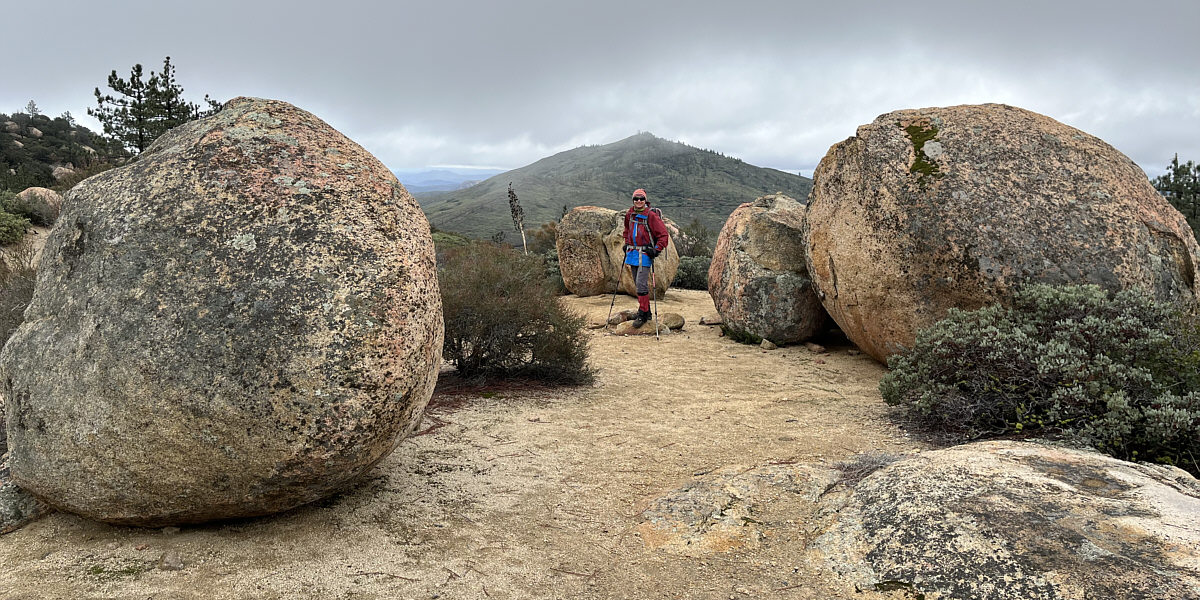
Would have been fun to try some bouldering here, but we have bigger fish to fry!

Zosia passes some boulders on her way down from the top of Corte Madera Mountain.  Behind her is Los Pinos Mountain.
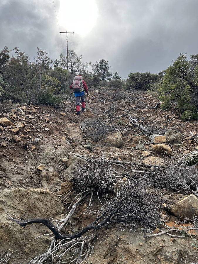
 

Easier hiking than it looks!

Zosia hikes up a power line right-of-way on the north ridge of Los Pinos Mountain.

Born to be wild!

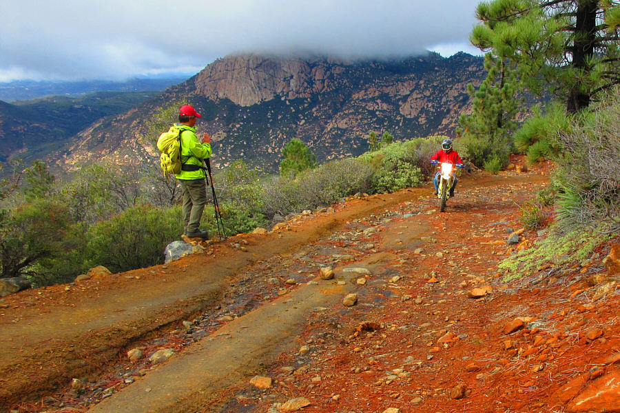
A dirt biker passes Sonny on the road leading to the summit of Los Pinos Mountain.  The top of Corte Madera Mountain is obscured by clouds in the distance.

Photo courtesy of Zosia Zgolak

We probably could have driven here!

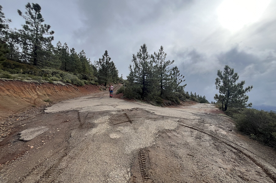
At a 3-way junction, Zosia takes the road that continues uphill.  The right branch ultimately ends up back at the trailhead.

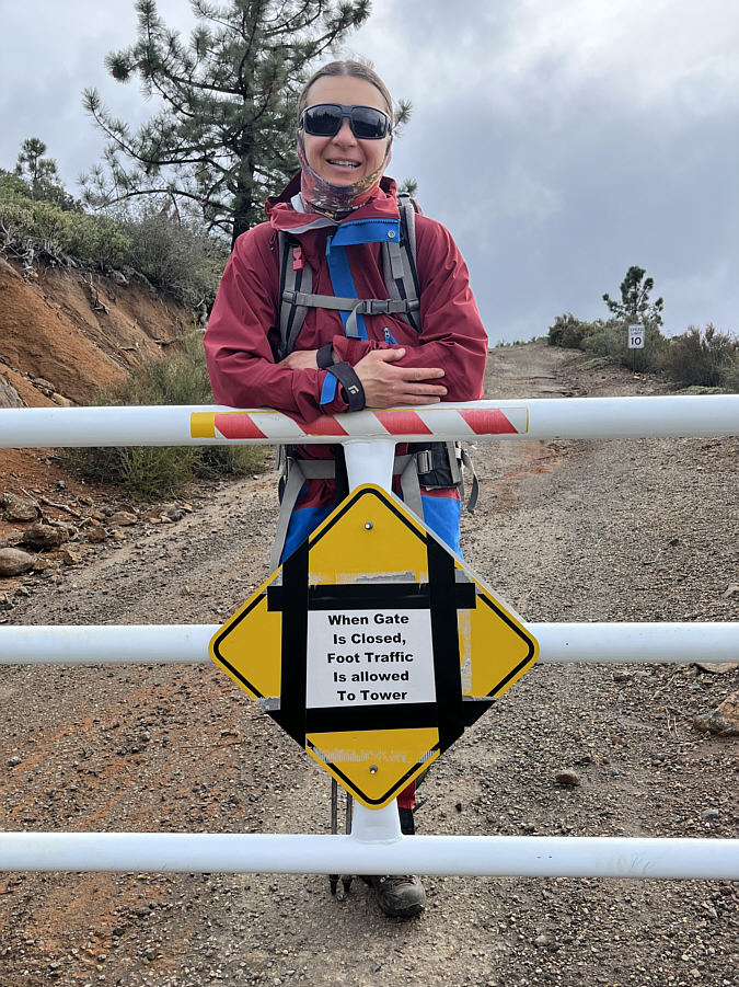
It doesn't stipulate what is and isn't allowed if the gate is open...

Zosia passes a gate guarding access to the summit.

We didn't see the dirt biker who likely went down the other road.

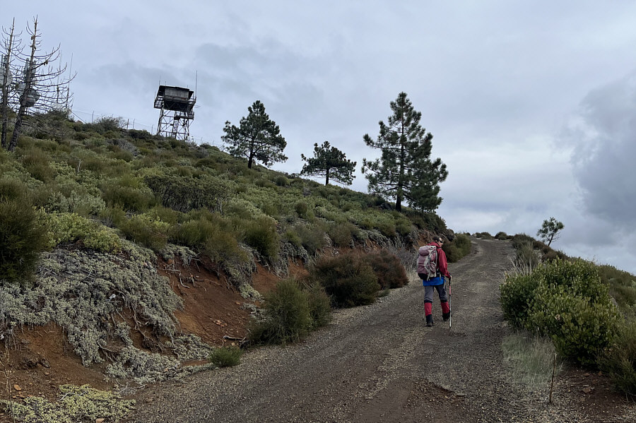
Some communications infrastructure and a fire lookout tower occupy the summit of Los Pinos Mountain.

It wouldn't have been too hard to sneak inside the fence, but that's not how we roll!

Sonny gets as close as he can to the true high point which is the stony platform at left behind the fence.  Curiously, the summit benchmark is actually located in a hole at the spot from which this photo was taken.

Photo courtesy of Zosia Zgolak

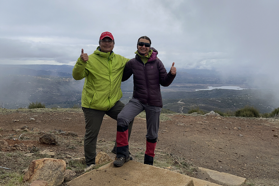
Well, at least we're actually higher than the summit benchmark!

Sonny and Zosia stand close to the summit of Los Pinos Mountain (1463 metres).

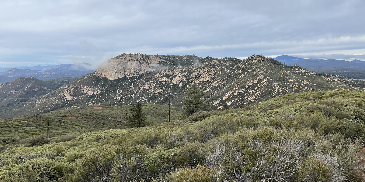
Nice-looking mountain!

Clouds clear off to reveal this more comprehensive view of Corte Madera Mountain.
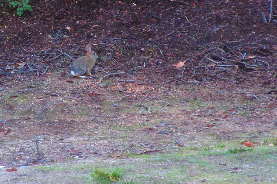
 

Beware of killer rabbits!

A shy rabbit sits at the edge of the driveway near the trailhead.

Photo courtesy of Zosia Zgolak

Very pleasant hiking despite less than cooperative weather. Total Distance:  16.1 kilometres
Round-Trip Time:  8 hours 20 minutes
Cumulative Elevation Gain:  674 metres

GPX Data