 |
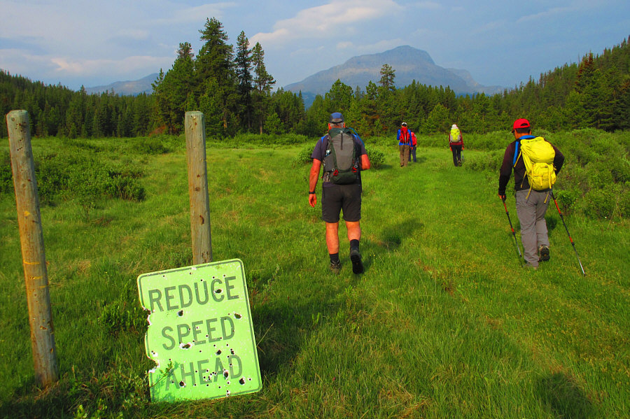
Ignoring the sign at the trailhead,
the group rushes off to ascend Ghost Peak in the distance. Photo courtesy of Zosia Zgolak |
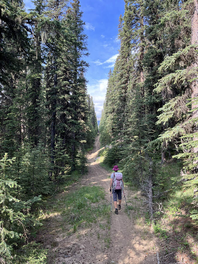 |
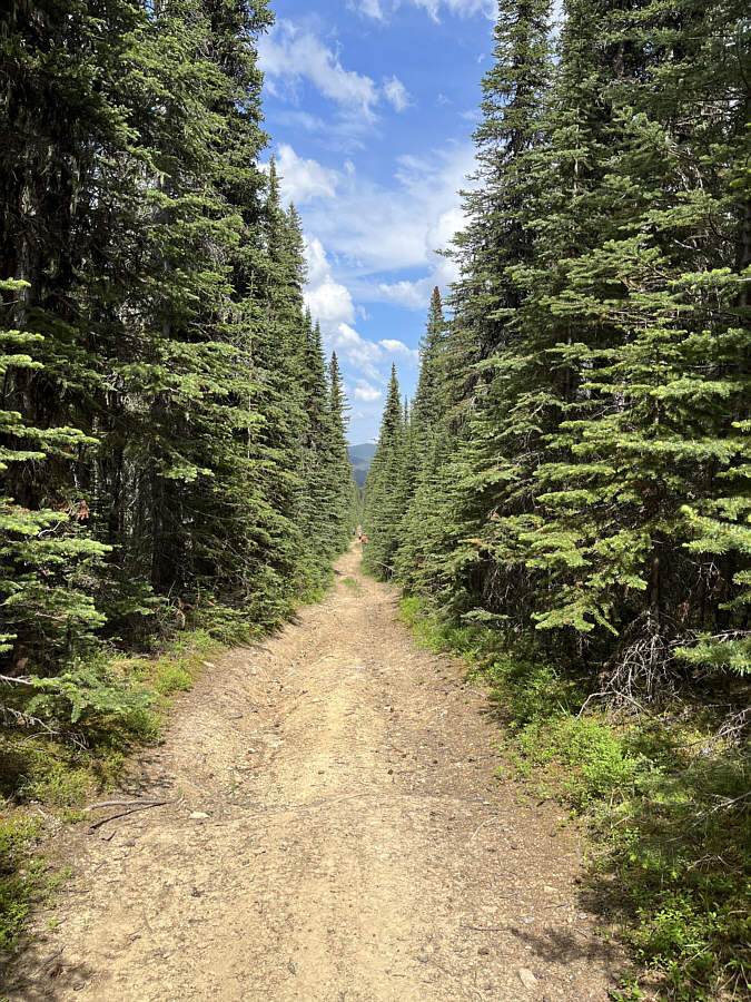
A seismic line grants an easy approach to Ghost Peak. |
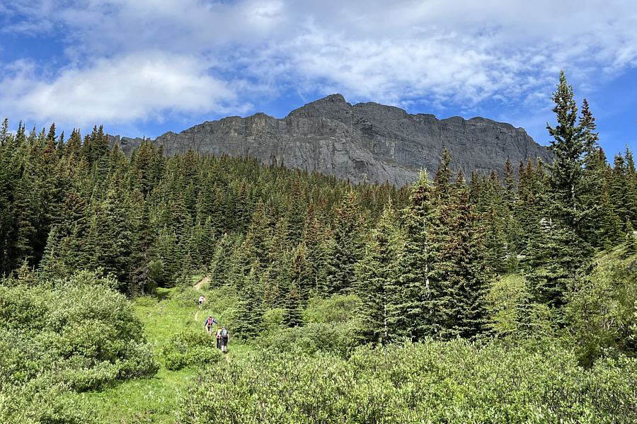 |
Ghost Peak looms ahead as the group continues climbing the approach trail. |
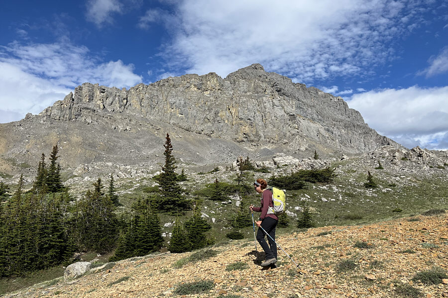 |
Near tree line, Asieh passes underneath the impressive east face of Ghost Peak. |
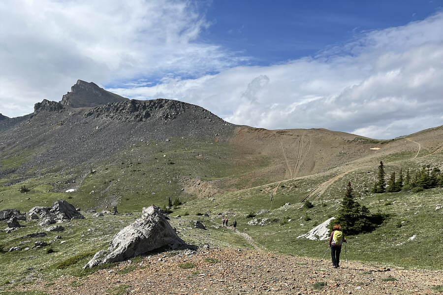 |
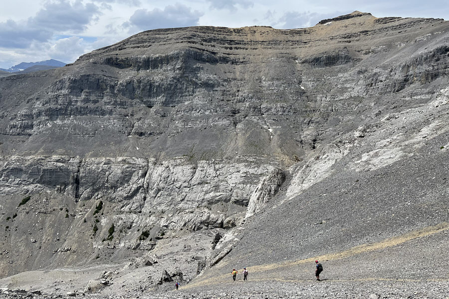
The group follows the trail toward the pass at far right. At left is unofficially-named Sheep Meadow Mountain. The other tracks on the ridge are likely the result of illegal dirt biking. |
From the pass, the group begins ascending the southeast ridge of Ghost Peak..
 |
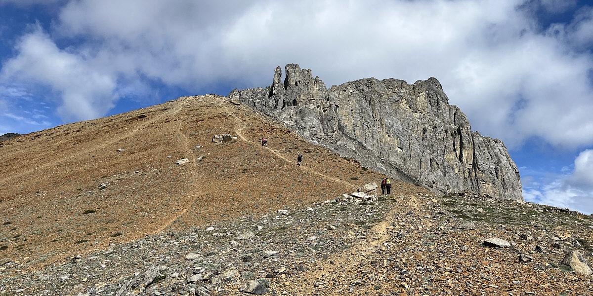
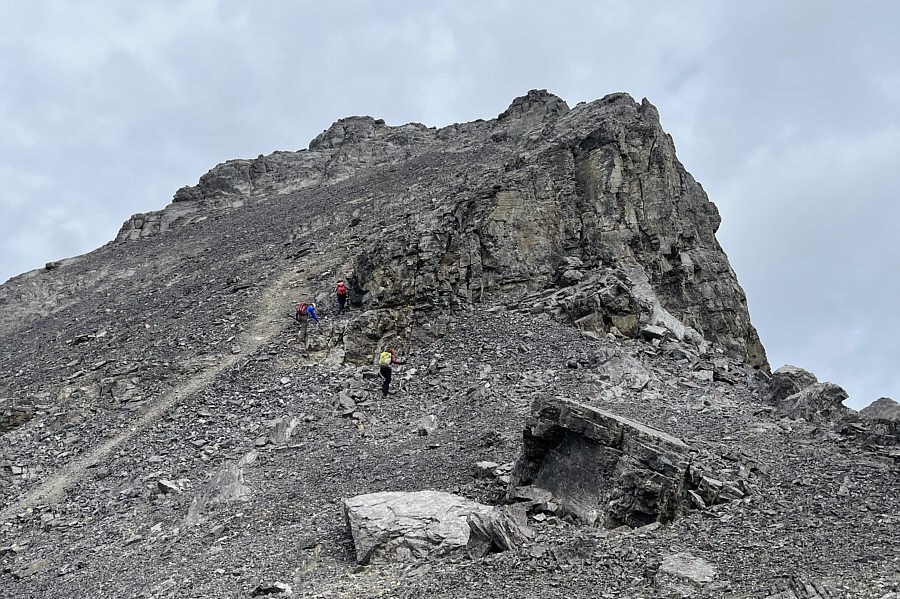
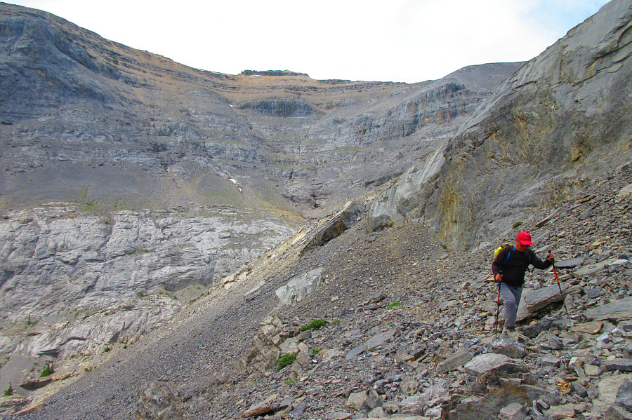
Very quickly, the terrain on the southeast ridge becomes challenging. |
 |
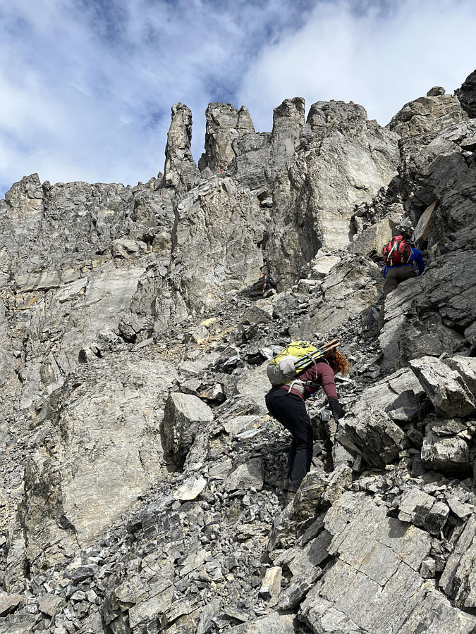
Ali and Asieh scramble up a gully--the crux--while Jeff contemplates turning around at this point. |
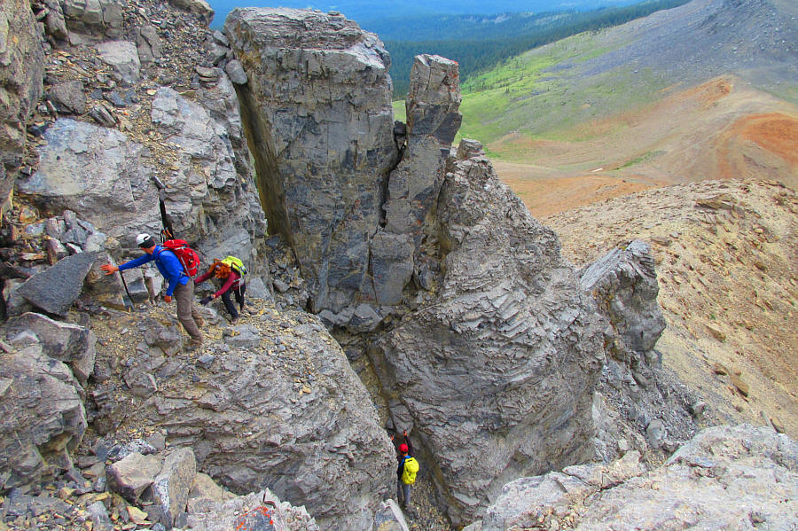 |
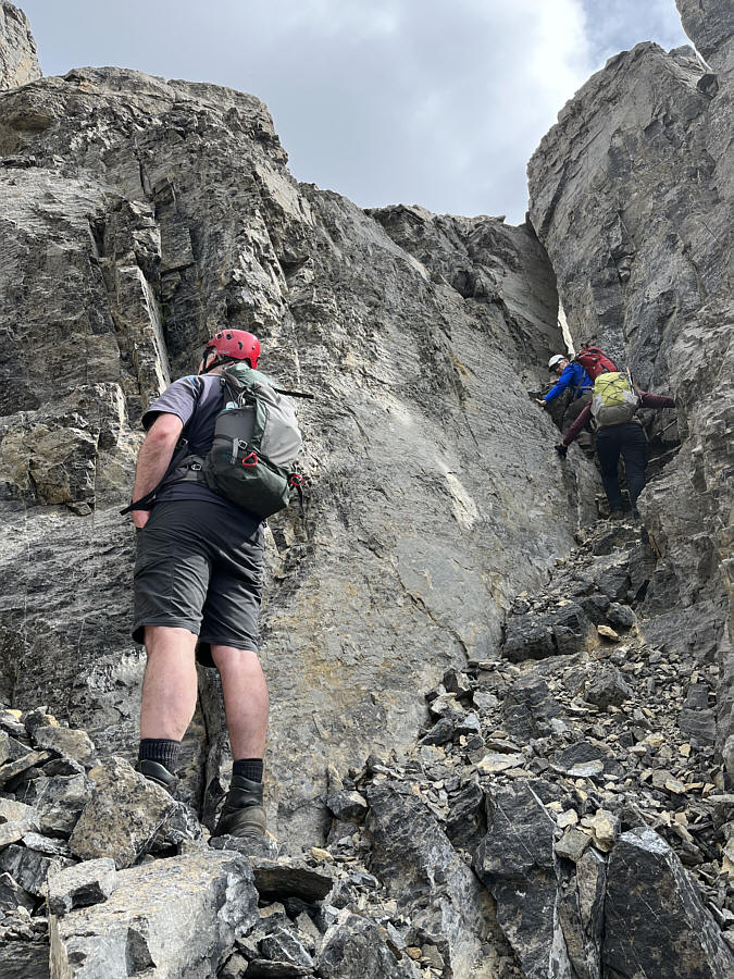
Here is a look back down at Ali and
Asieh just as they clear the crux gully. Sonny can be seen
below getting ready to climb up. Photo courtesy of Zosia Zgolak |
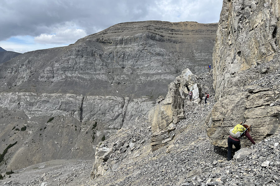 |
This scree bench leads to easier access of the upper mountain. |
 |
After traversing the bench, the group gazes up at a big treadmill scree slope. |
 |
The group starts up the treadmill scree slope but is already looking for firmer rocks to climb. |
 |
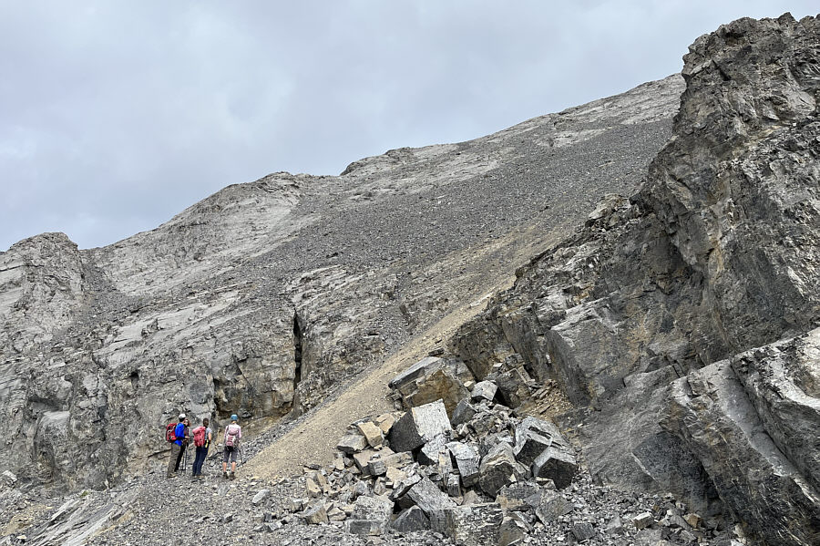
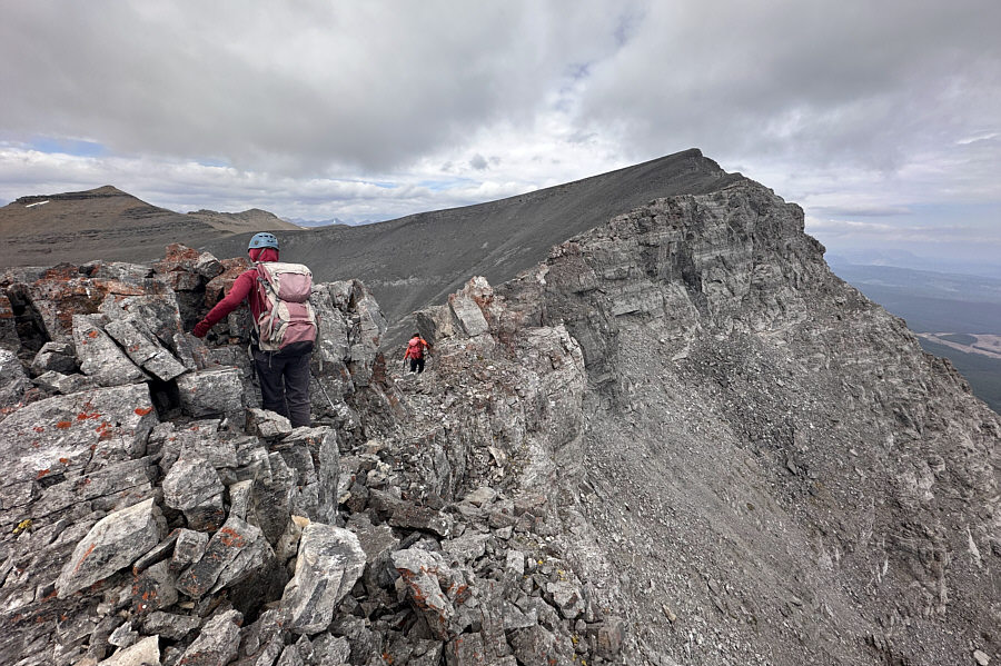
The group scrambles up a false summit along the southeast ridge. |
 |
Zosia carefully traverses an exposed
ledge on the false summit. The true summit is finally within
sight. Photo courtesy of Ali Shariat |
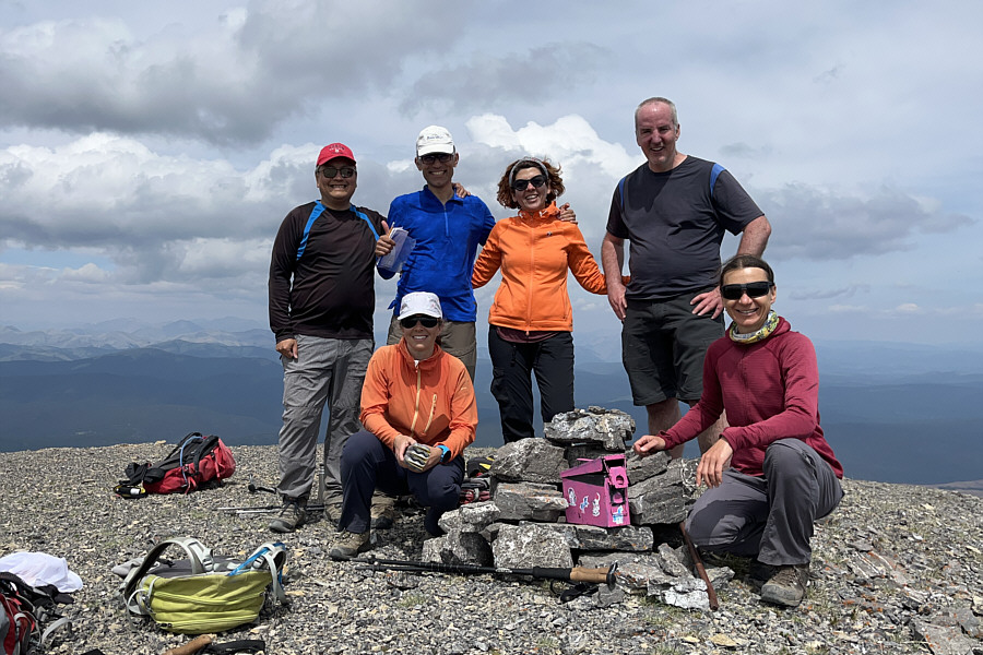 |
Gathered on the summit of Ghost Peak (2599 metres) are Sonny, Andrea, Ali, Asieh, Jeff and Zosia. |
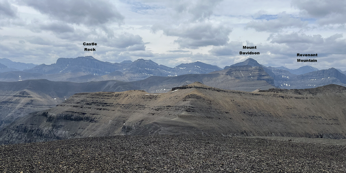
Some notable peaks are indicated in this view to the southwest.
 |
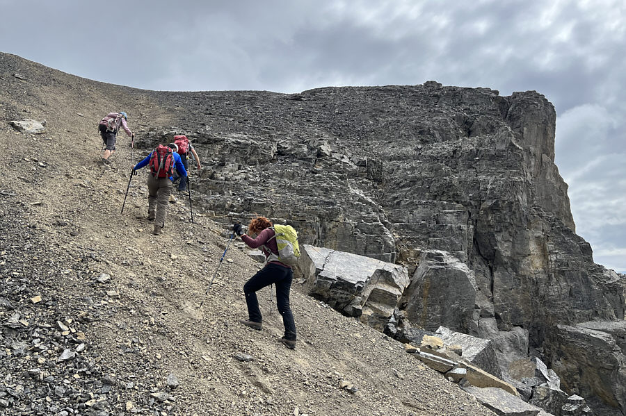
The group takes advantage of the treadmill scree slope for a fast descent. |
 |
Sonny takes an alternate descent route
which bypasses all the cliff bands guarding Ghost Peak's southeast
ridge. Photo courtesy of Zosia Zgolak |
 |
The long walk out along the seismic line is unbearably hot in the afternoon sun. |
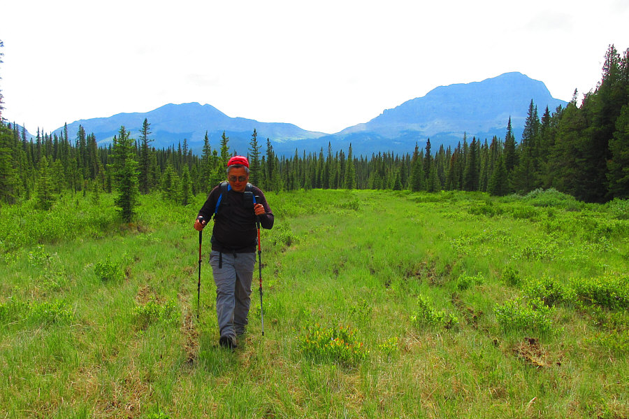 |
Upon reaching the boggy meadows of
Fallentimber Creek, Sonny knows that the tortuous walk out is almost
over. Photo courtesy of Zosia Zgolak |
 |
Total
Distance: 18.9 kilometres Round-Trip Time: 8 hours 57 minutes Net Elevation Gain: 985 metres |