BOU AVENUE
Mount Loki

On 1 July 2023 (Canada Day), Zosia Zgolak and I climbed Mount Loki located in the Purcell Mountains southeast of Kaslo, British Columbia.  This prized peak has a relatively uncomplicated ascent route via its west ridge as documented in numerous online websites.  I had originally wanted to ascend Mount Loki during our West Kootenays road trip in 2020, but uncertainty about the condition of the access road--there had apparently been a washout--prompted me to abandon the attempt.  A recent tip from Nick Fisch, who had contacted me about an unrelated scrambling matter, put Mount Loki back on the radar for me.  He had climbed the peak only a few weeks earlier and did not have any problems driving up the access road.  With a stellar weather forecast in the West Kootenays for the long weekend, I figured that this would be a prime opportunity to give Mount Loki a try despite the rather long drive from Calgary.

Turn north onto Riondel Road from Highway 3A, 77.0 kilometres north of the junction with Highway 3 in Creston or 1.1 kilometre north of the Kootenay Bay ferry terminal.  Drive 8.9 kilometres to the village of Riondel and turn left onto Fowler Street.  Drive 290 metres and turn right onto Eastman Avenue.  Drive north for 3.9 kilometres (Eastman Avenue becomes Riondel North Road after exiting the village) to a bridge over Tam O'Shanter Creek where the pavement ends.  Continue north on the 2WD gravel Powder Creek Forestry Service Road (FSR) for another 5.9 kilometres before turning right onto Portman Creek FSR.  Ignoring all side roads, drive 9.3 kilometres and park in a pullout on the left.  The signed trailhead is about 100 metres further up the road on the right.  As of this writing, Portman Creek FSR is suitable for 2WD vehicles (high clearance recommended) if conditions are dry.

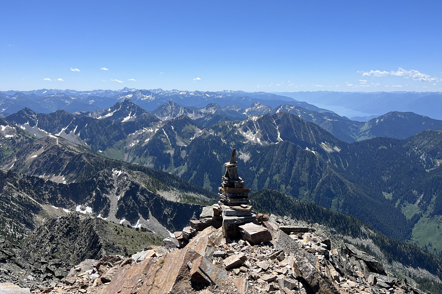
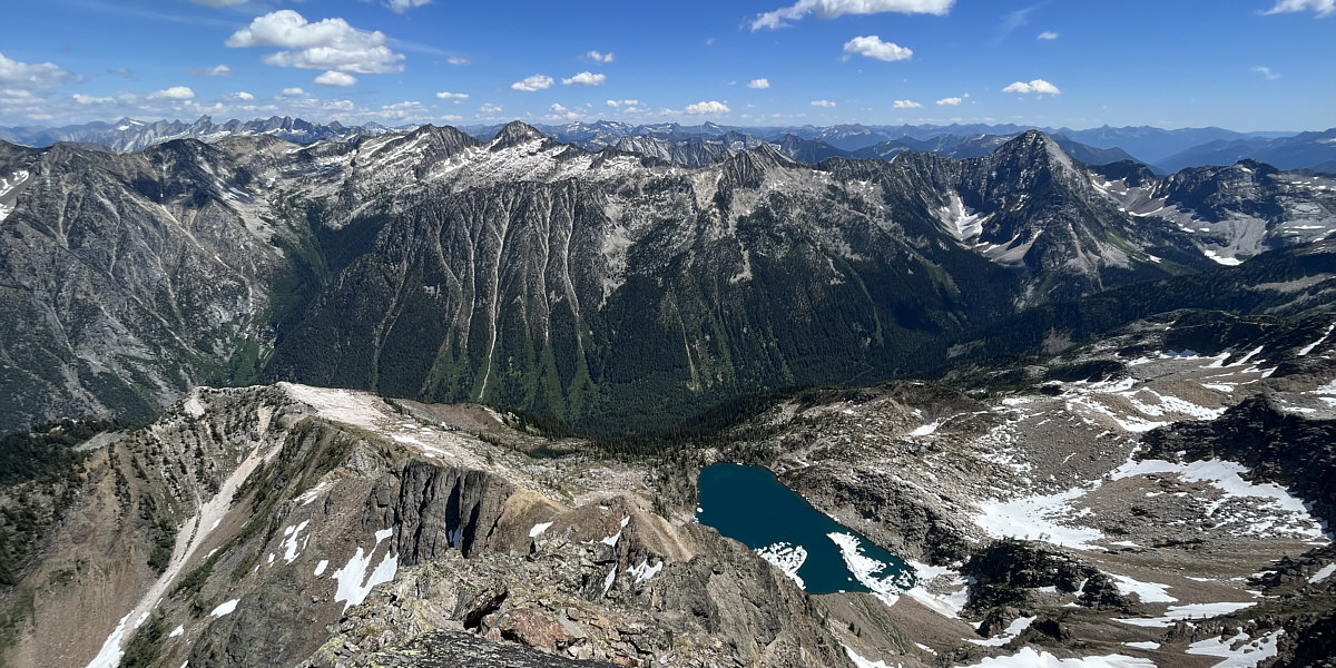
From the pullout, Zosia and I walked up the road to the signed trailhead and quickly settled into a moderate but steady climb up the well-maintained forested trail.  About 2.5 kilometres in, we entered a basin and climbed the headwall at the back to a high col where we got our first look at Mount Loki.  From there, the trail levels out for a bit and crosses a couple of dips before resuming its upward trajectory on the mountain's west ridge.  For the most part, we tried to stay on the crest as much as possible, but a few technical sections require detours to climber's right.  Cairns are plentiful though and kept us on track.  Depending on route selection, scrambling opportunities abound on the west ridge, but it never gets overly difficult or too exposed.  The summit is topped by a large cairn, but it is worth continuing a bit further to see a lake tucked below the east side of the mountain.

Zosia and I took an extended break on the summit before retracing our steps down the mountain.  Our return trip was largely uneventful, but while descending the summit block, we ran into a couple of trail runners who were still on their way up.  They eventually returned from the summit and passed us somewhere in the forest below the basin.  When we drove out, we saw them again at the turnoff from Powder Creek FSR shortly after they had returned to their vehicle.  Incredibly, they had started their ascent from there which added an extra 18.6 kilometres and 1600 metres of elevation gain to the usual round-trip totals.  Sounds more like they climbed Mount Loco to me!
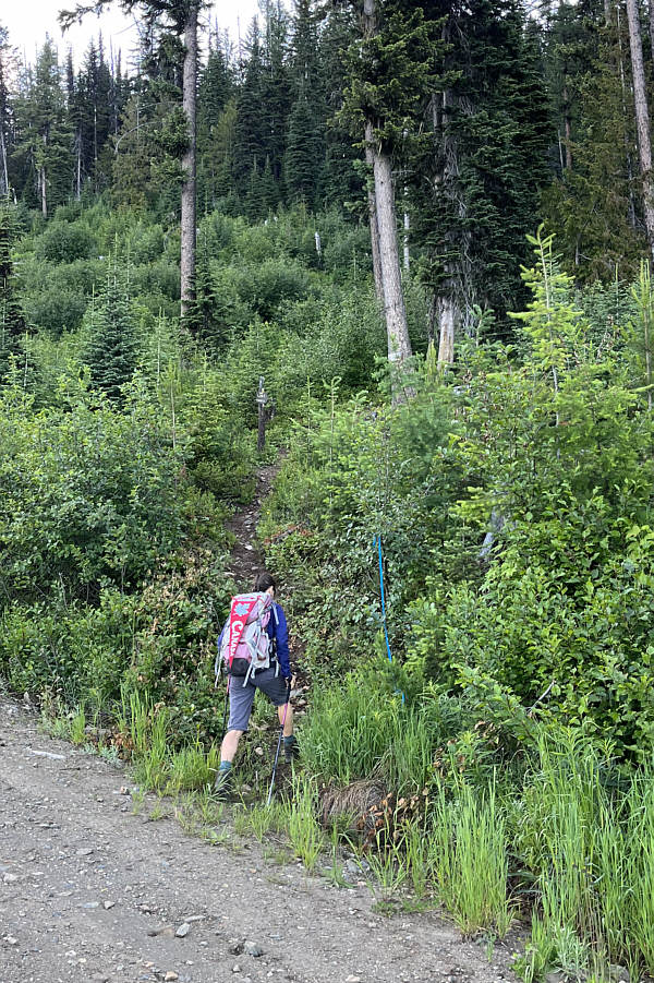
Yes, the signs are a wee bit small! Zosia finds the signed trailhead along the forestry service road.
I thought these were orange glacier lilies!

Tiger lilies are commonplace near the beginning of the trail.
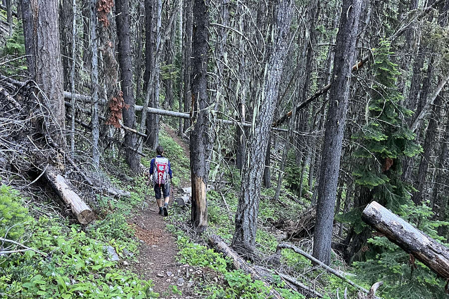
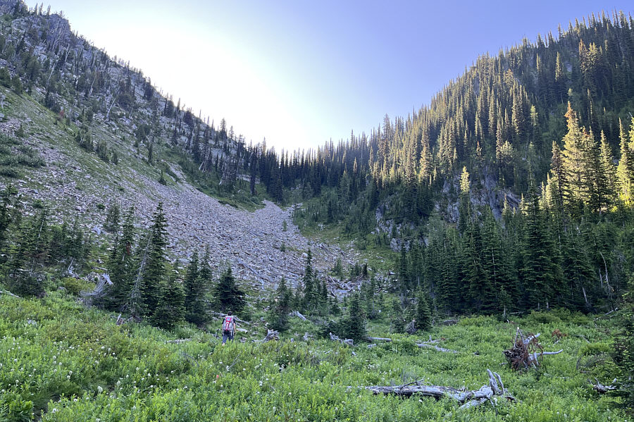
I guess that's why the trail runners love this one. The forested trail is well-maintained and easy to follow.
The col is referred to as "Portman's Notch" on some websites.

The trail goes up the headwall at the back of this basin to the high col at centre.
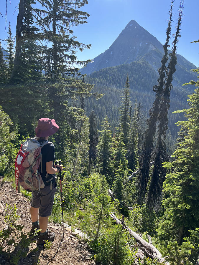
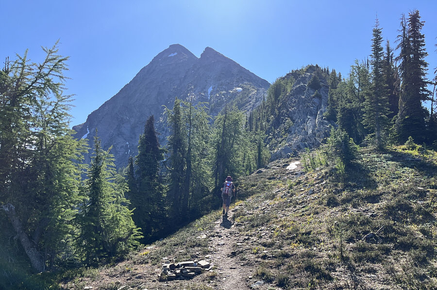
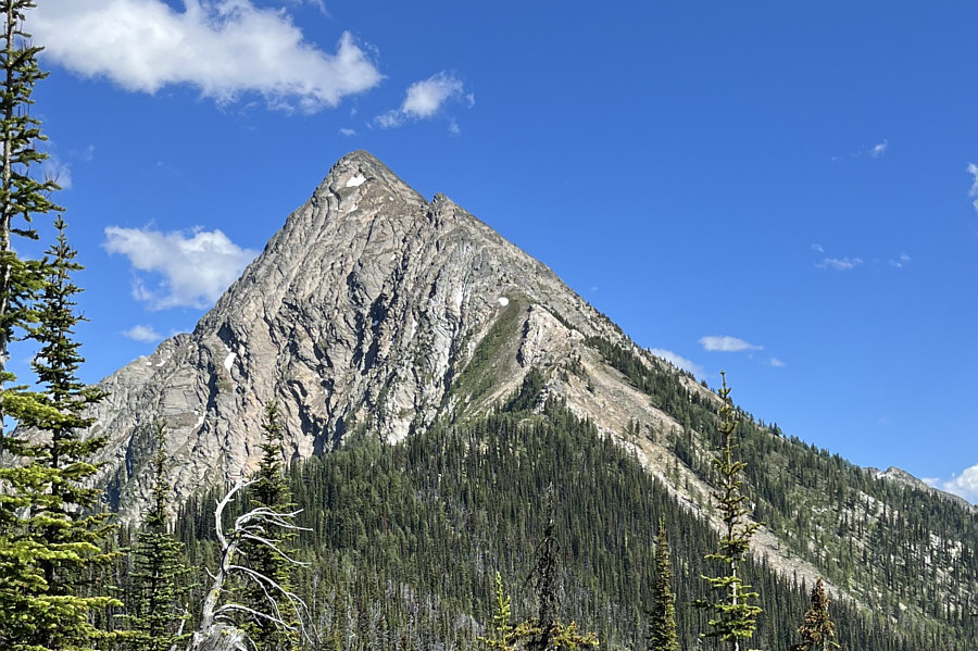
Like a big shark fin--we're gonna need a bigger boat! At the high col, Zosia gets her first glimpse of Mount Loki.
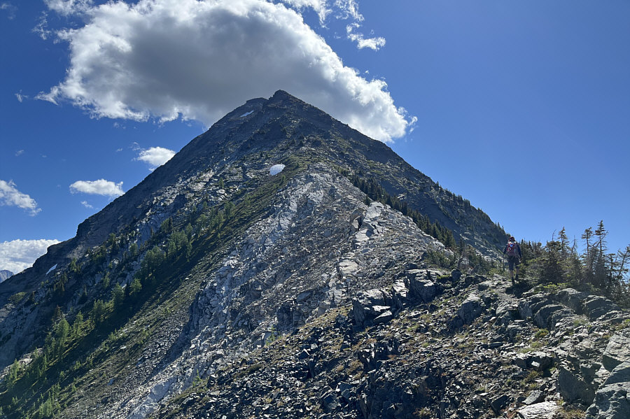
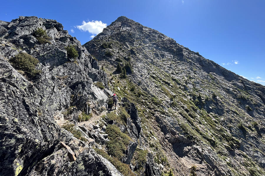
This is where the fun begins! After a fairly level stretch beyond the high col, the trail begins to climb in earnest up the west ridge.
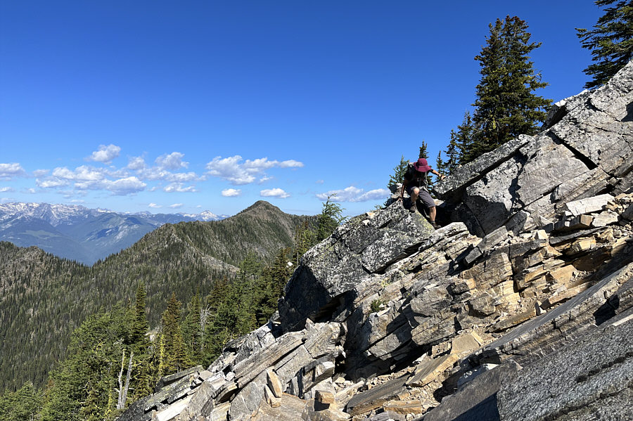
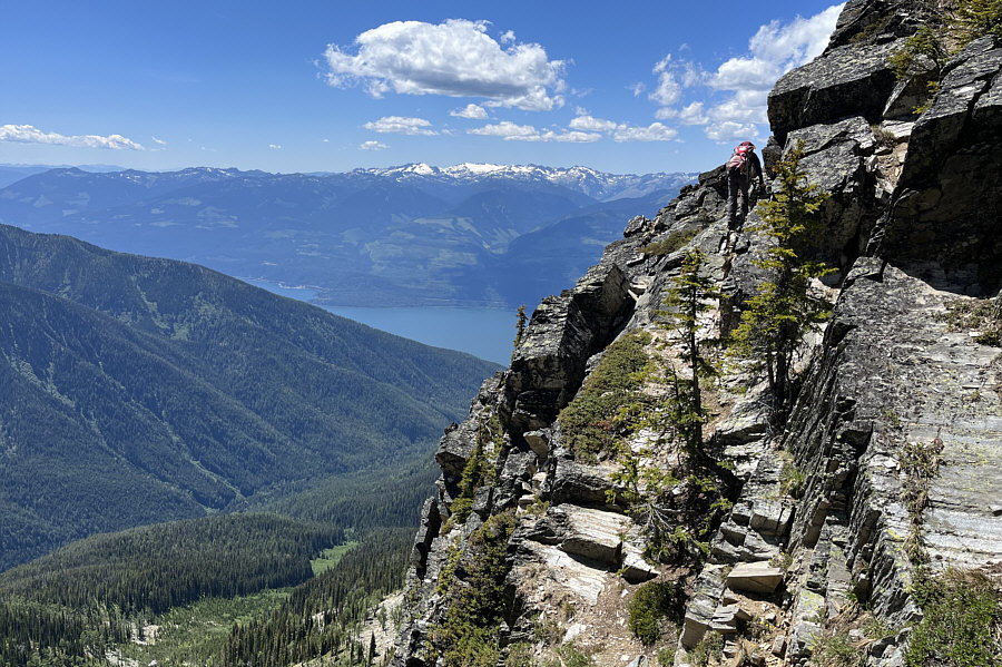
We be scramblin'! Zosia scrambles over some tilted slabs on one of the first detours to avoid more technical sections of the west ridge.
Let's get at 'er! Most of the west ridge is merely Class 2 hiking, but there are places where hands-on scrambling may be required.
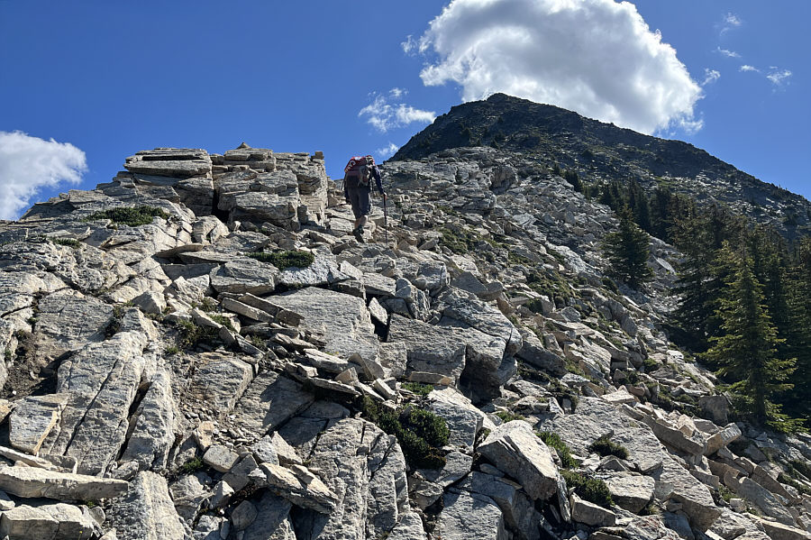
More challenging stuff to come! Zosia climbs one of the easier sections along the crest of the west ridge.
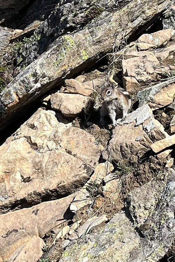
The resident janitor? A golden-mantled ground squirrel waits for inadvertently dropped food.
Don't worry; there's more fun stuff to come! Zosia follows a bypass trail while heading toward the false summit ahead.
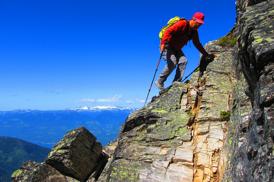
Look! I can still do this shit at 55! Sonny scrambles up some big blocks on the ridge.

Photo courtesy of Zosia Zgolak
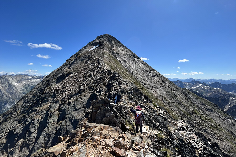
Still some scrambling left but nothing too difficult. The true summit is finally within sight.
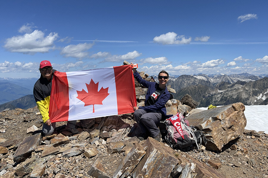
O Canada! Sonny and Zosia celebrate Canada Day on the summit of Mount Loki (2783 metres).
That cairn has a hard-on! Part of Kootenay Lake is visible in this view to the southeast.  The most prominent peak on the left horizon is Snowcrest Mountain.
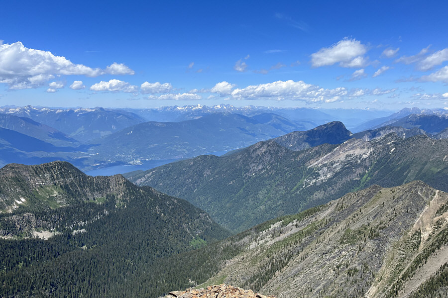
I'll have to remember to look back up this way next time I'm in Kaslo! The village of Kaslo is visible at left in this view to the northwest.

So many interesting mountains here!

A plethora of peaks stretch across the horizon in this view from the east end of Mount Loki's summit ridge.
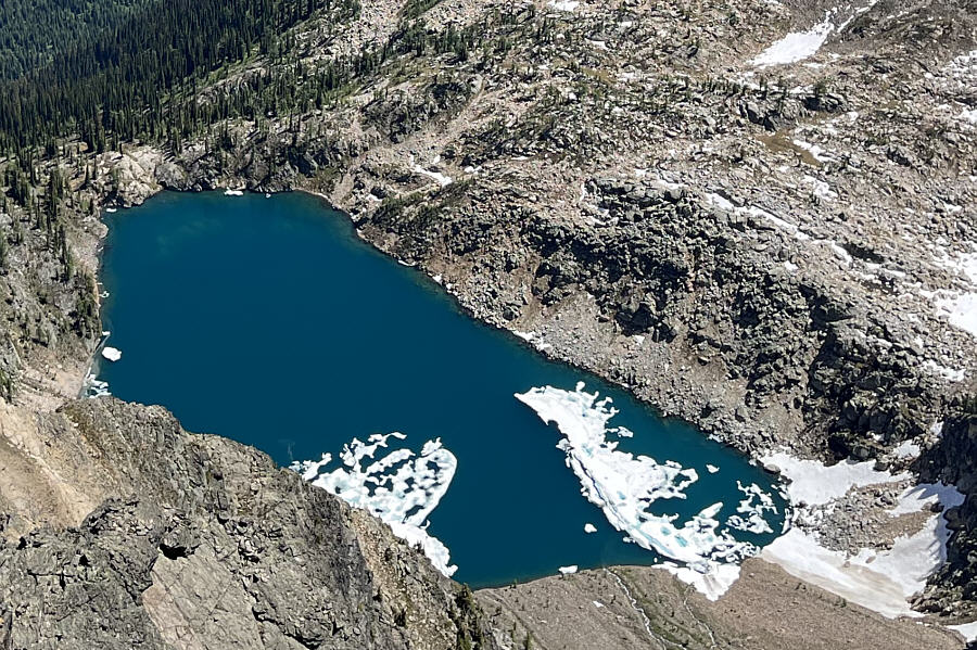
 

Unofficially-named Bernard Lake. Here is a closer look at the lake tucked below the east side of Mount Loki.
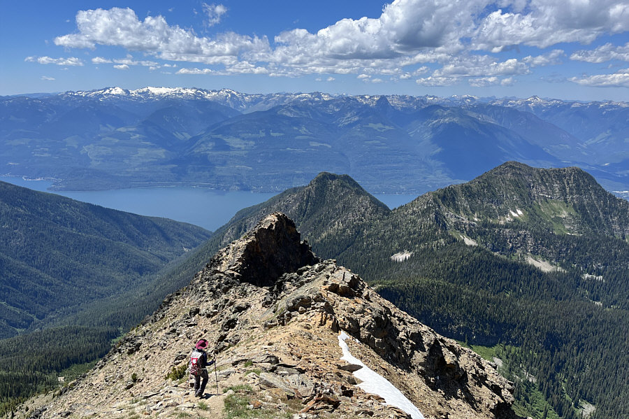
Must still be some good skiing there! Zosia descends the west ridge while enjoying views of the glaciated peaks in Kokanee Glacier Provincial Park on the left horizon.
Looks scarier than it really is...at least when there is no snow! Zosia carefully makes her way back along one of the mildly exposed bypass trails on the west ridge.
See you around, Mount Loki! Here is a last look at Mount Loki from the high col.
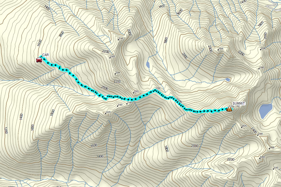
Definitely a West Kootenays Classic--highly recommended! Total Distance:  11.9 kilometres
Round-Trip Time:  9 hours 13 minutes
Net Elevation Gain:  1182 metres

GPX Data