BOU AVENUE
Łysica

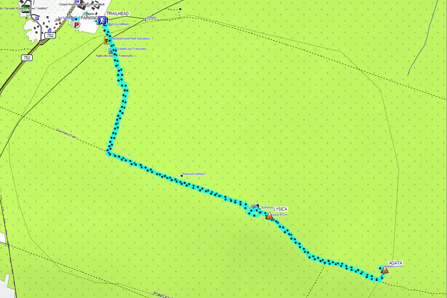
After arriving in Poland a couple of days earlier and rendezvousing with Zosia Zgolak, we kicked off a two-week road trip on 9 August 2023 by hiking up Łysica (pronounced wuh-SEE-tsa), a forested mountain located in Świętokrzyski National Park near the village of Święta Katarzyna.  Łysica is the lowest of the Crown of Polish Mountains which consists of 28 peaks, each the highest of their respective mountain range in Poland.  Łysica itself is comprised of two peaks of roughly similar height with the eastern one--known as Skała Agaty (Agatha's rock)--being the purported true summit.  Although both summits are forested and offer only limited views, easy access on a good trail and minimal effort required nevertheless ensure that the ascent is popular.

After parking in a small free lot near the south end of Święta Katarzyna, Zosia and I walked a couple hundred metres eastward to the signed trailhead which includes a souvenir shop and some portable toilets.  A short distance up the trail, we stopped at a ticket kiosk to pay the park entrance fees (9 PLN or ~$2.98 CAD per person) before carrying on with our hike.  The signed trail is very easy to follow, and we had no problems hiking up to the western peak which is topped by a giant cross.  We briefly stopped here for a photograph before following the continuation of the trail to the eastern peak.  A small sign marks the turnoff to Skała Agaty, and getting to the unmarked high point there requires a little bit of route-finding and easy scrambling.  We stopped for lunch in a small rocky clearing nearby more out of habit than hunger, and with no reason to linger, we subsequently hiked back the same way to our car without incident.
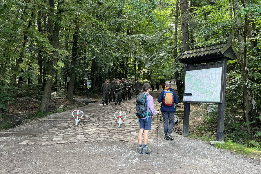
Military exercises in the National Park? A group of Polish soldiers march down the cobblestone pathway at the trailhead.
Any military or teachers' discounts?

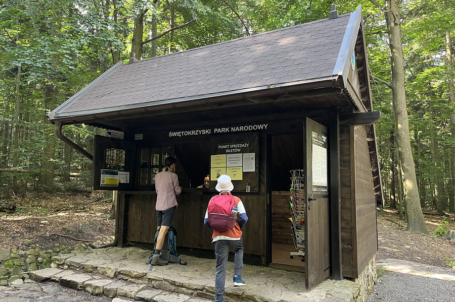
Zosia pays a park entrance fee in order to hike the trail up Łysica.
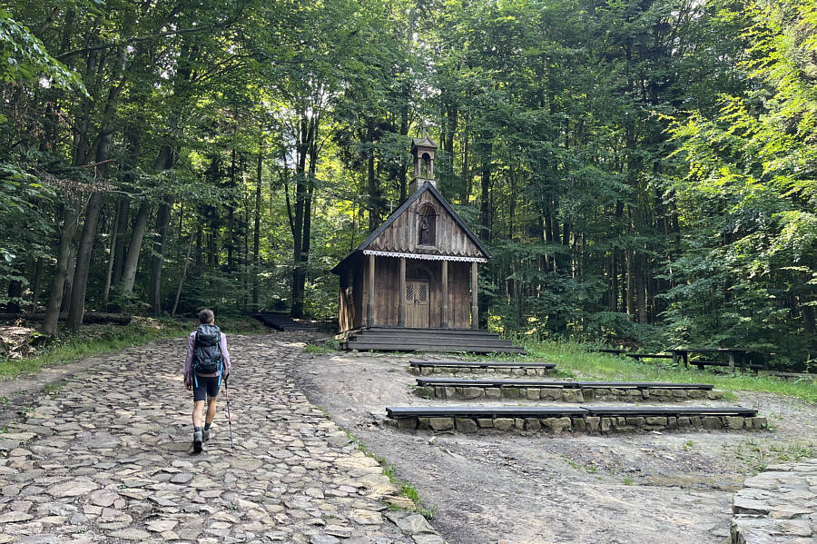
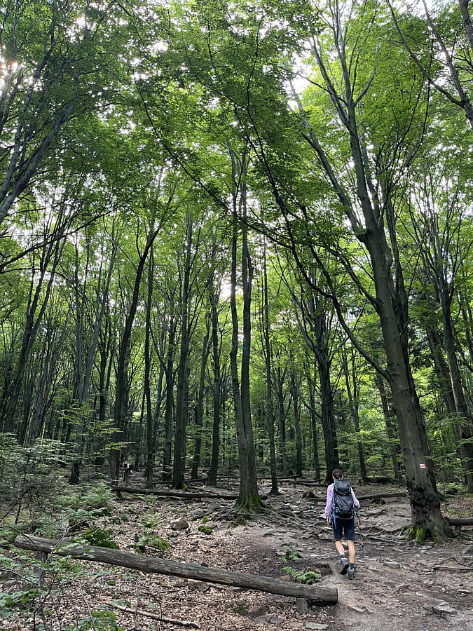
Chapels in forests always look kinda creepy... Zosia passes Kapliczka Świętego Franciszka (St. Francis Chapel) a few hundred metres from the trailhead.
Good hike for a hot summer day!

The trail to the top is completely forested offering no far-reaching views.
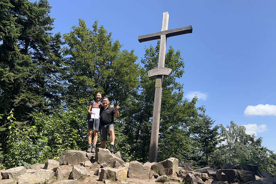
Definitely, the spiritual, if not the actual, high point of the mountain! Zosia and Sonny stand beside a big cross atop the western peak (624 metres*) of Łysica.

*According to my Gaia GPS reading.

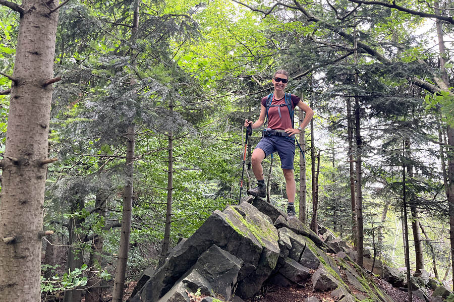
No survey marker here, so how do they know which peak is higher? Zosia stands on Skała Agaty (Agatha's rock) which is the eastern and purported true summit (616 metres) of Łysica.
An easy but underwhelming half-day hike. Total Distance:  6.0 kilometres
Round-Trip Time:  2 hours 40 minutes
Cumulative Elevation Gain:  271 metres

GPX Data