BOU AVENUE
       Mastodon Peak And Eagle 
       Mountain
       Zosia Zgolak and I visited California's 
       Joshua Tree National Park for the first time ever on 26 December 2023.  
       The south end of the park is dominated by the Eagle Mountains, and since 
       we were entering from that direction, we decided to try climbing the 
       range's high point which is unofficially known as--surprise, 
       surprise--"Eagle Mountain".  As described in several online trip 
       reports, the standard ascent route is mostly a Class 2 off-trail hike, 
       but the approach is tediously long and can entail some route-finding 
       challenges.  An ascent of diminutive but officially-named Mastodon 
       Peak can easily be tacked on for very little extra effort.
       
       Turn north onto Cottonwood Springs Road from I-10 on Exit 168, 37.5 
       kilometres west of the junction with Highway 177 or 37.1 kilometres east 
       of the junction with Highway 86 in Indio, California.  Drive 11.0 kilometres 
       to the Cottonwood Visitor Center (washrooms), and turn right onto 
       Cottonwood Oasis Road.  Drive 1.9 kilometres to road's end at the 
       parking lot for Cottonwood Spring trailhead.
       
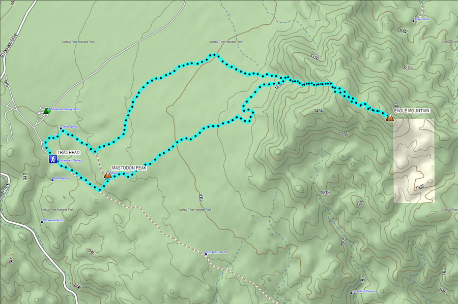
       Electing to climb Mastodon Peak first, Zosia and I followed the Lost Palms Oasis Trail 
       southward for about a kilometre before turning left onto the Mastodon 
       Peak Loop Trail.  About 400 metres further, a spur trail goes 
       right and swings around to the southeast side of Mastodon Peak where 
       there is an easy scramble route to the top.  Three Hispanic women 
       were already lounging at the top when we arrived, but we ignored them to 
       climb up the highest boulder.
         
           |  | 
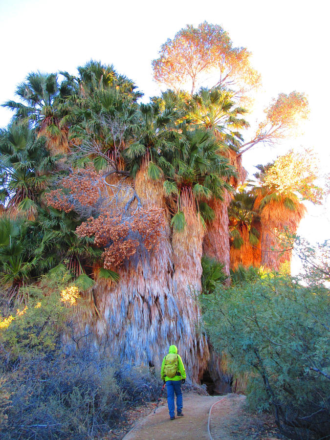
       Fan palms are an arresting sight near Cottonwood Spring trailhead. 
       Photo courtesy of Zosia Zgolak | 
         
           |  | 
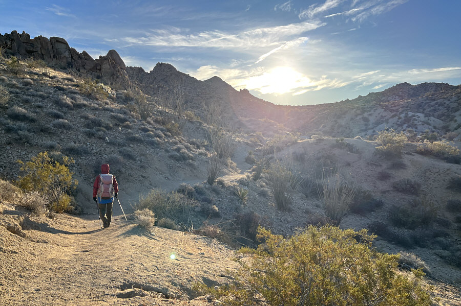
       Zosia passes more traditional desert scrub along the Lost Palms Oasis 
       Trail. | 
         
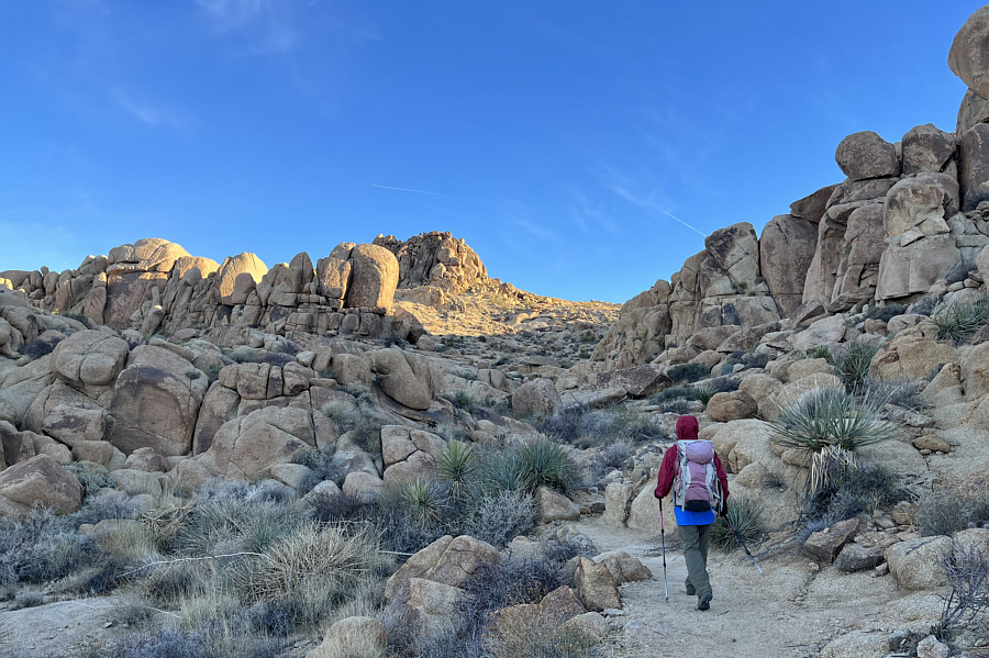
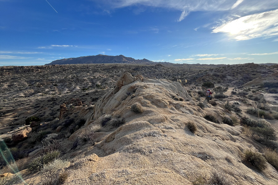
           |  | After turning onto the Mastodon Peak 
           Loop Trail, the first objective of the day is within sight. | 


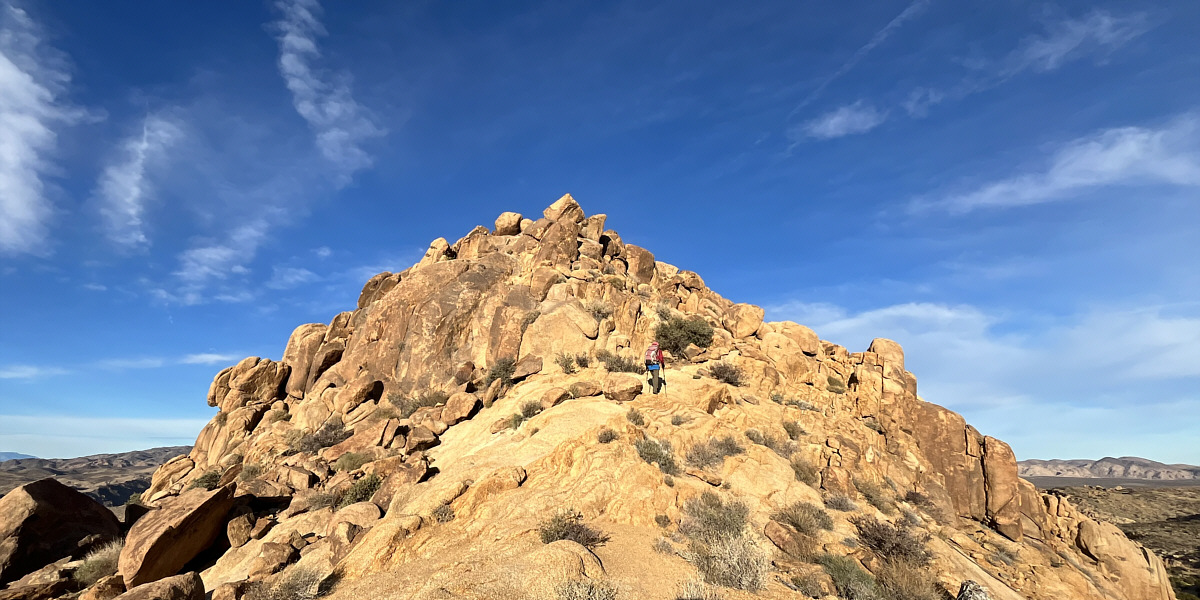
       The top of Mastodon Peak is accessed by a scramble route on the southeast 
       side.


           |  | 
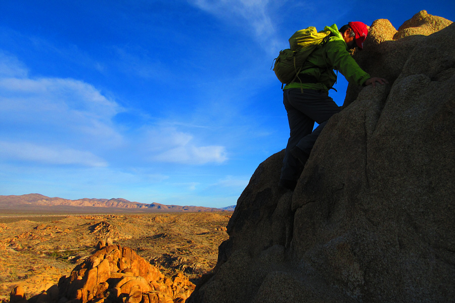
       Sonny scrambles up a boulder on top of Mastodon Peak. 
       Photo courtesy of Zosia Zgolak | 
         
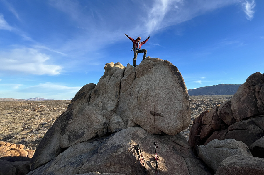
           |  | Zosia stands on presumably the summit 
           of Mastodon Peak (1053 metres). | 
         
Having tagged the summit of Mastodon Peak, Zosia and I quickly 
       turned our attention to Eagle Mountain as we descended the same scramble 
       route and headed eastward into the open desert.  Travel was initially easy 
       despite the lack of trails, but my main concern was figuring out which 
       part of Eagle Mountain to aim for.  Based on the online trip reports I had 
       read, I knew that we had to find a canyon to access the upper mountain, 
       but from a distance, the entire western aspect of Eagle Mountain seemed 
       featureless.  As we got closer to the mountain though, we also began 
       running into increasingly more gigantic boulders strewn across the  landscape.  Though interesting in 
       and of themselves, the boulders presented 
       serious route-finding challenges for us, and we expended a lot of time 
       and effort trying to navigate over and around them.  With some trial and 
       error, we eventually found the canyon--basically a large drainage--and 
       began ascending the mountain in earnest.  Although we made steady progress 
       up the canyon, this part of the ascent felt interminable, and we were 
       already feeling quite weary by the time we topped out on a plateau of 
       sorts.  The remaining traverse to the summit turned out to be more 
       complicated than expected as we had to lose hard-won elevation and 
       also do some extra route-finding to get past more problematic boulders.  A 
       few cairns proved to be helpful, but I did not feel a sense of relief 
       until we finally stepped onto the summit.
       
       Zosia and I took a well-deserved break atop Eagle Mountain 
       before commencing our descent.  The return across the plateau went a 
       little more smoothly since we avoided some of the route-finding mistakes I made 
       earlier.  Descending the canyon felt just as long as the ascent but was 
       otherwise uneventful.  When we reached the desert flats, we veered a 
       little further north in an effort to steer clear of the boulders that 
       gave us so much trouble earlier in the day.  Whenever we could, we tried 
       to take advantage of easier walking in the sandy washes, but this seemed 
       to constantly pull us further away from where we were aiming to go, 
       namely Mastodon Peak.  Inevitably, we had to take a more direct 
       line, but this involved lots of ups and downs and additional 
       route-finding.  With daylight waning, we finally stumbled into a big 
       wash that eventually led us back to the Mastodon Peak Loop Trail.  
       Turning right, we completed the loop in the same counterclockwise 
       direction that we started the day with and made it back to our car just 
       as darkness fell.
         
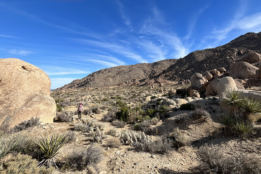
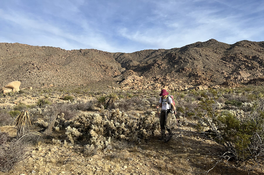
           |  | Zosia begins the long off-trail 
           approach to Eagle Mountain in the distance. | 
         
           |  | 
       Flat, sandy washes allow easier progress across the desert. | 
         
           |  | 
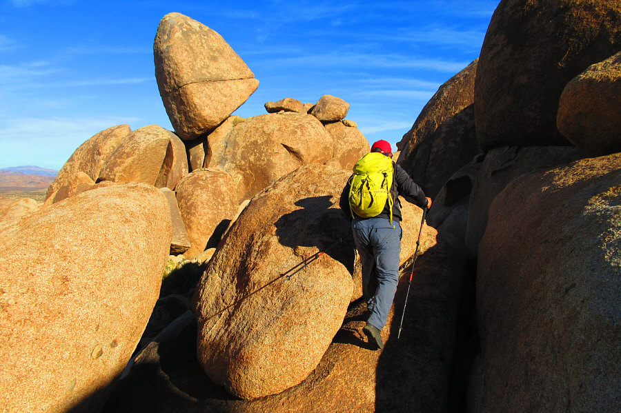
       Sonny inadvertently wanders into boulder-filled terrain where 
       route-finding is much more challenging. 
       Photo courtesy of Zosia Zgolak | 
         
           |  | 
       The mouth of the canyon which grants access to the upper mountain is 
       straight ahead but still difficult to discern from this distance. | 
         
           |  | 
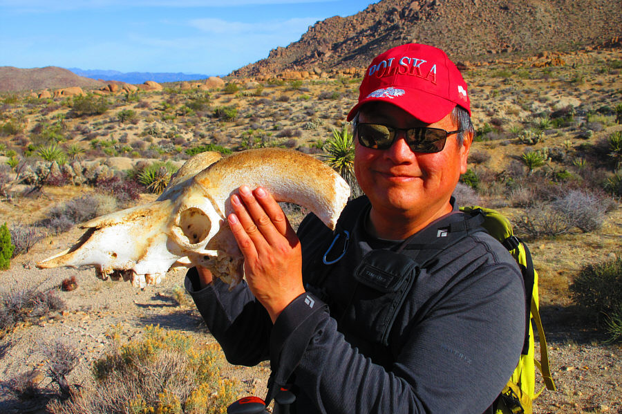
       Sonny finds the skull of a bighorn sheep. 
       Photo courtesy of Zosia Zgolak | 
         
           |  | 
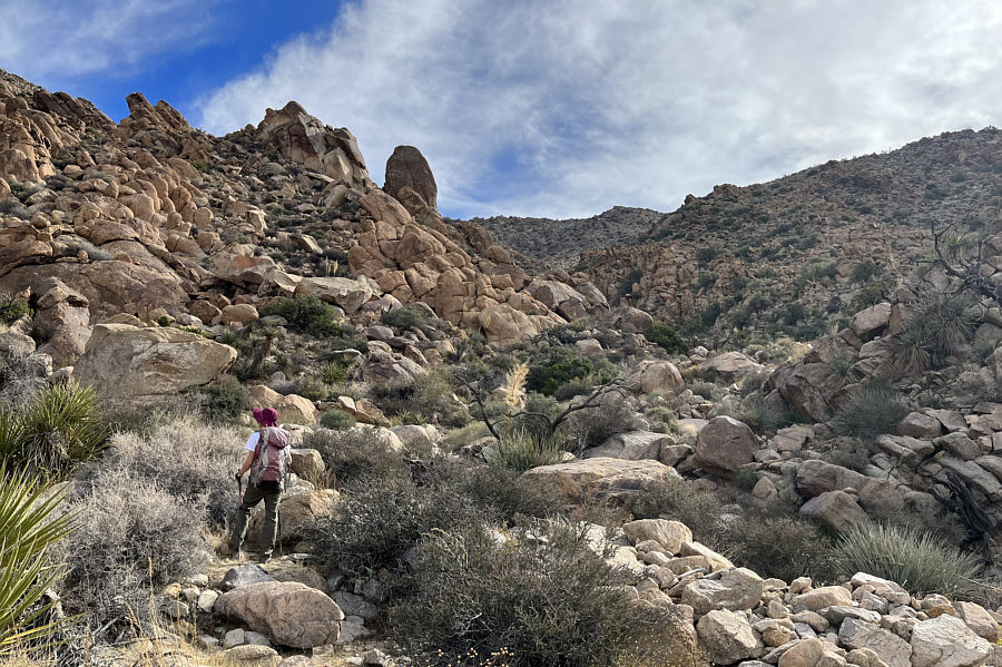
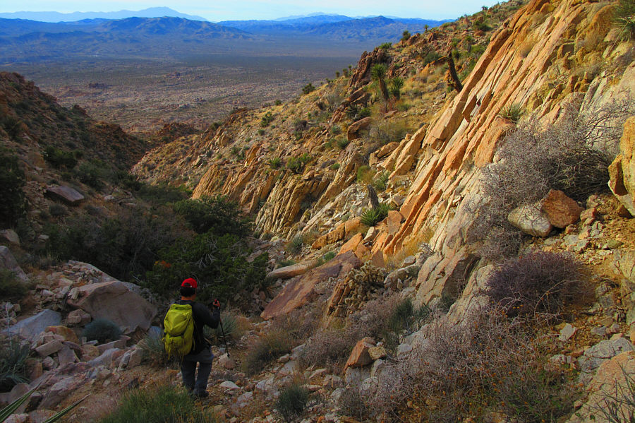
       Zosia enters the canyon which leads to the upper mountain. | 
         
           |  | 
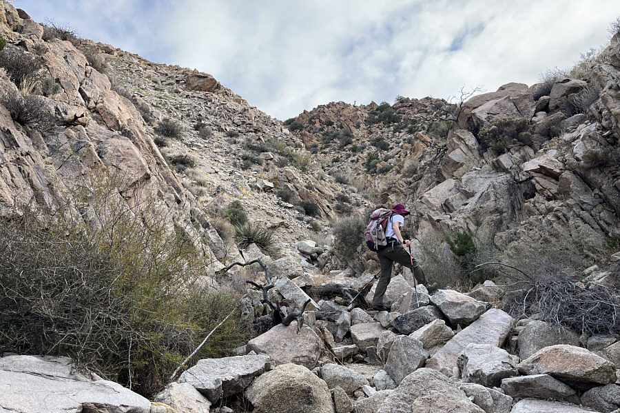
       The canyon narrows in some spots but is generally easy to ascend. | 
         
           |  | 
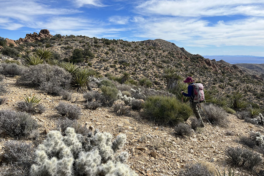
       After climbing out of the canyon, Zosia enters a plateau of sorts on the 
       upper mountain.  The summit is visible in the distance but is still 
       deceptively far away. | 
         
           |  | 
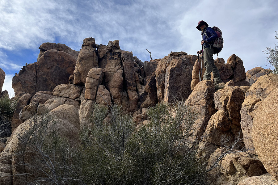
       Boulder formations on the plateau present more route-finding challenges. | 
         
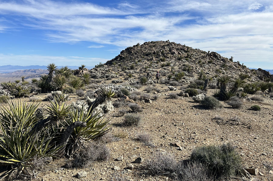
           |  | Zosia approaches the final rise before 
           the summit. | 
         
           |  | 
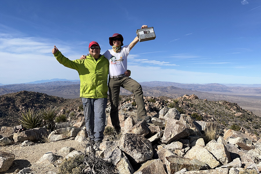
       Sonny and Zosia stand on the summit of Eagle Mountain (1625 metres). | 
         
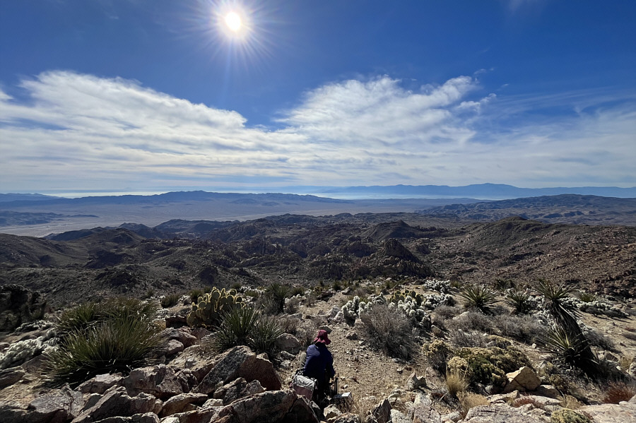
           |  | The Salton Sea is visible to the 
           south. | 
         
           |  | 
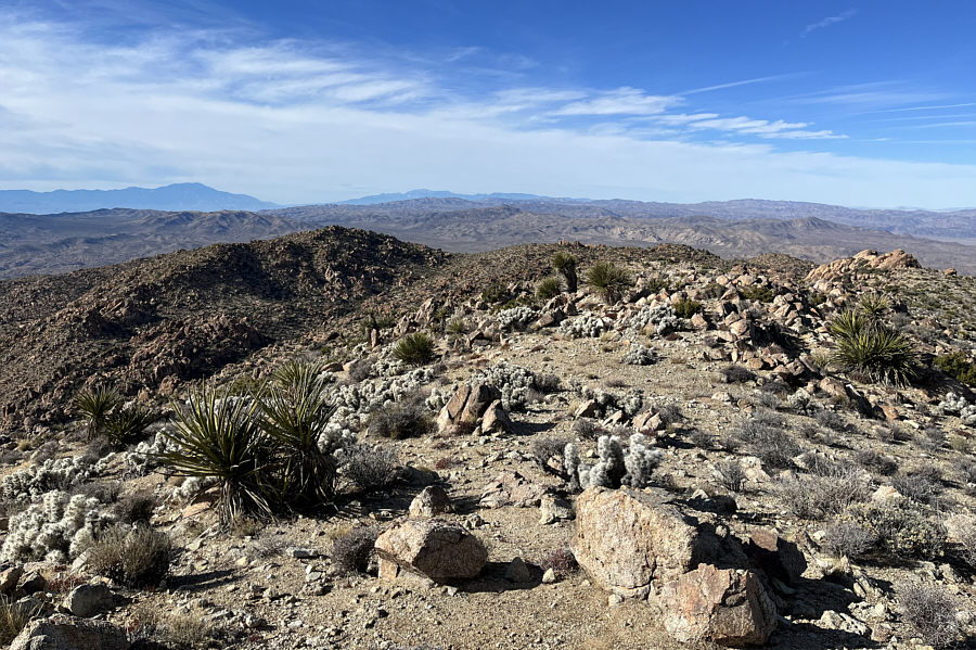
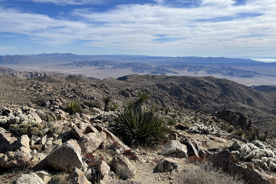
       This is looking back west at the approach across the innocuous-looking 
       plateau.  On the distant horizon at far left is San Jacinto Peak. | 
         
           |  | Part of a solar panel farm is barely 
           visible at distant centre in this view to the east. | 
         
           |  | 
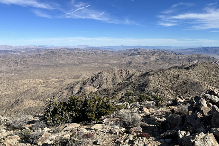
       To the southeast, the I-10 can be seen running across the length of the 
       valley. | 
         
           |  | Sonny descends the access canyon. 
       Photo courtesy of Zosia Zgolak | 
         
           |  | 
       Zosia finds herself back in the desert flats after exiting the canyon. | 


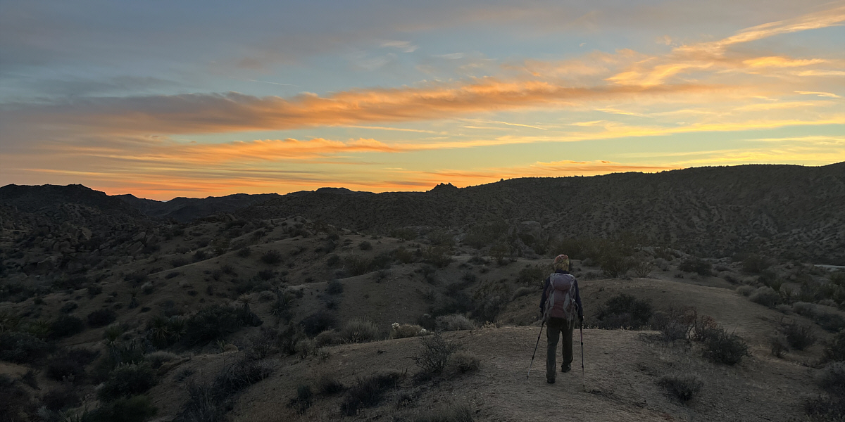
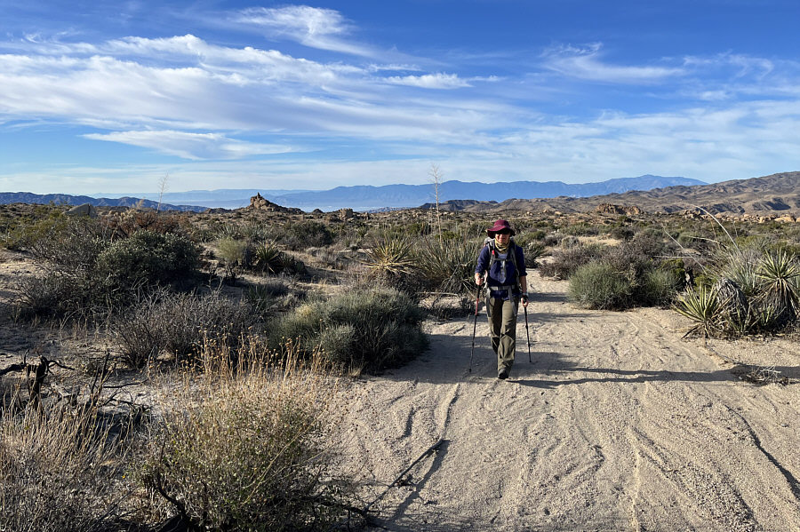
       Zosia is almost back at the trailhead after sunset.


           |  | Total 
           Distance:     19.9 kilometres Round-Trip Time:  9 hours 38 minutes
 Cumulative Elevation Gain:  789 metres
 
           GPX Data |