A big thank you goes out to Andrew and Wendy for inviting Zosia and me to join them for a delicious dinner at their home in Bragg Creek after our hike.
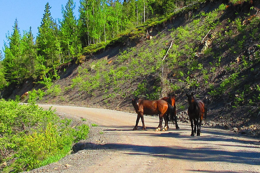 |
Wild horses block traffic on
Powderface Trail. Photo courtesy of Zosia Zgolak |
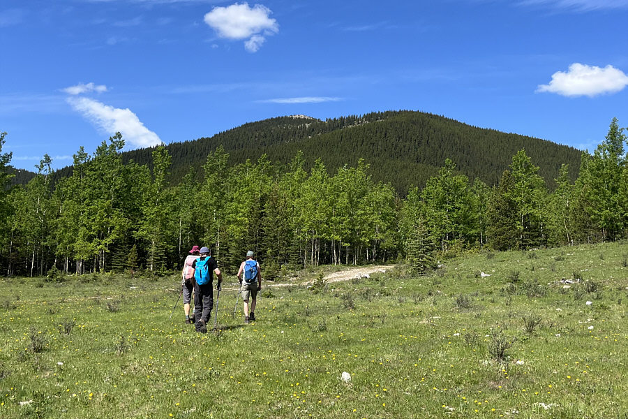 |
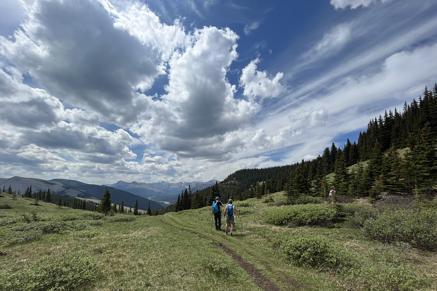
The group starts hiking along a good trail toward Rainy Summit Overlook (Sunrise Hill). |
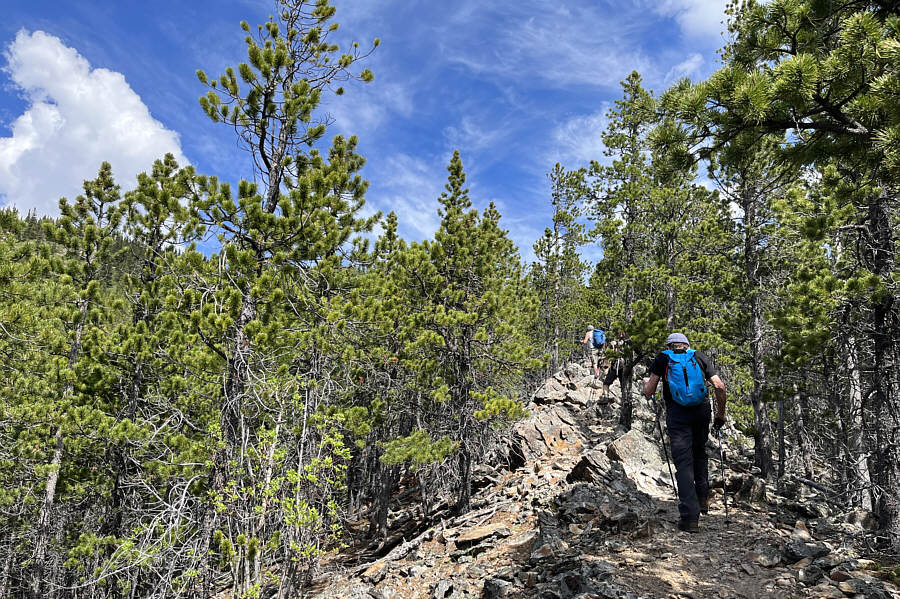 |
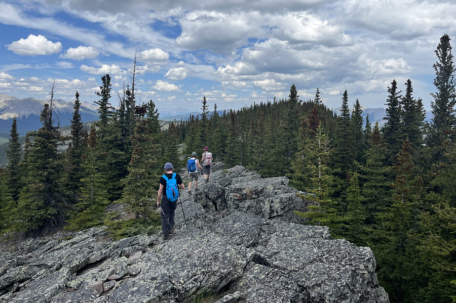
The trail follows a rocky rib through the forest. |
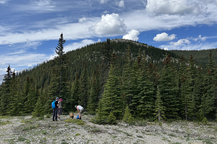 |
The group stops for a water break at a plateau just below Rainy Summit Overlook. |
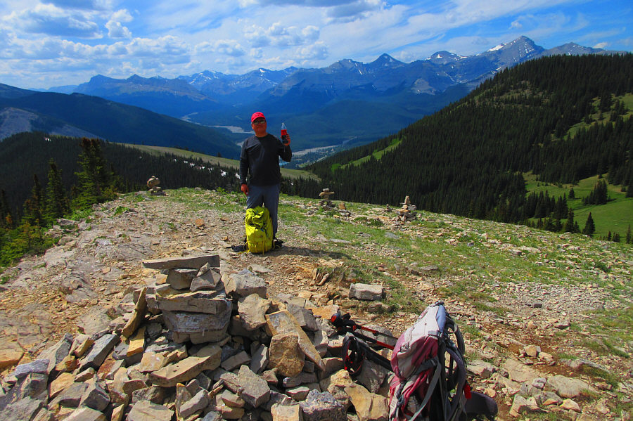 |
Sonny enjoys a Coke Zero on top of
Rainy Summit Overlook (2135 metres). Photo courtesy of Zosia Zgolak |
Powderface Ridge stretches away to the north in this view from Rainy Summit Overlook.
 |
Ignoring the trail heading downhill, the group begins to climb up the other side of the pass west of Rainy Summit Overlook. |
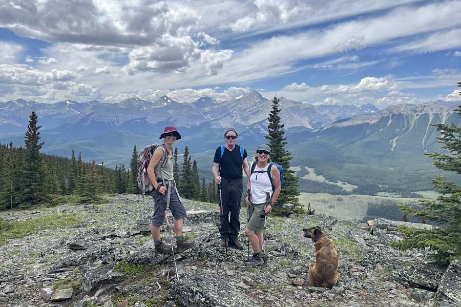 |
Zosia, Andrew, Wendy and Ruthie gain the crest of Powderface Ridge. |
 |
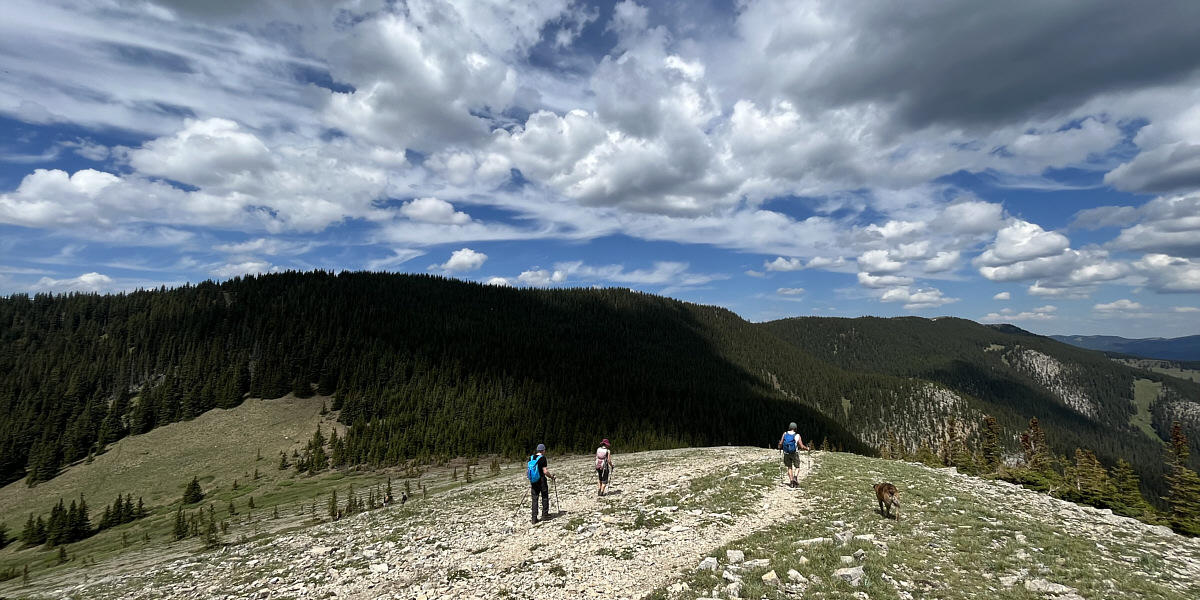
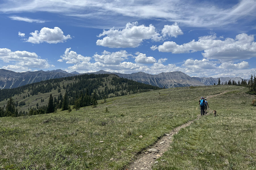
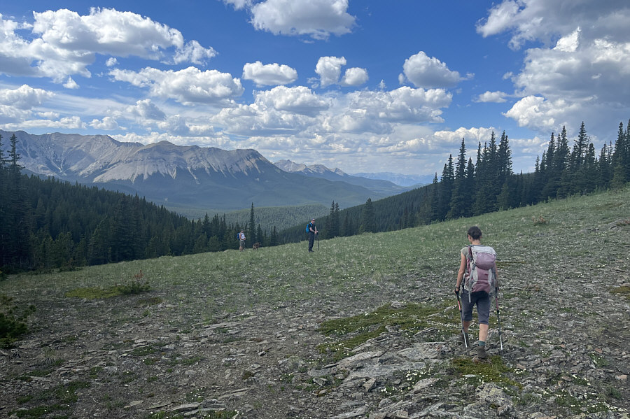
The group heads north along the crest of Powderface Ridge. |
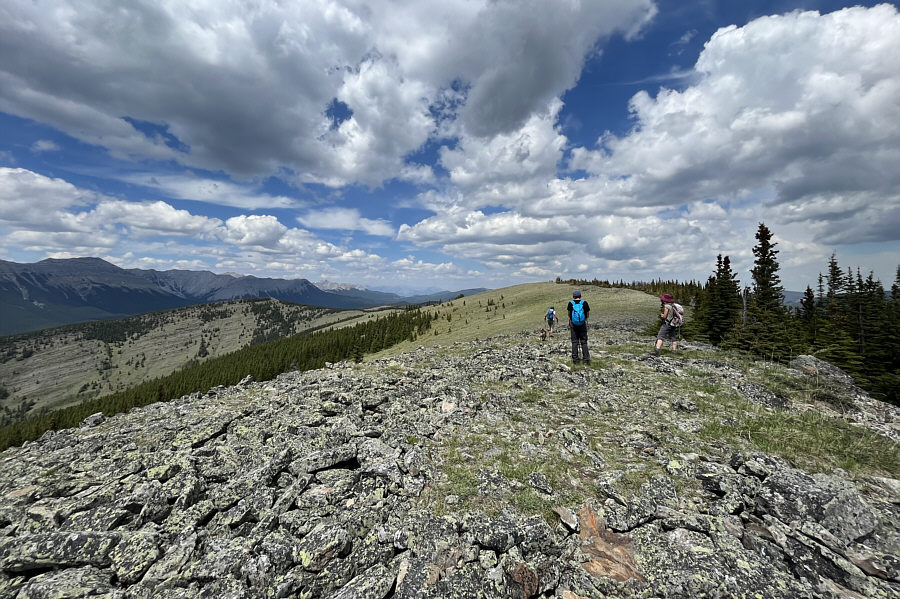 |
After crossing a forested dip, the group reaches the most open part of Powderface Ridge. |
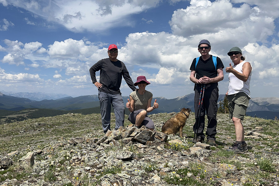 |
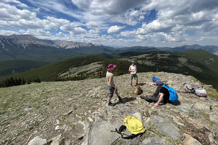
Sonny, Zosia, Ruthie, Andrew and Wendy gather around a cairn on the crest of Powderface Ridge. This is not the highest point of the ridge. |
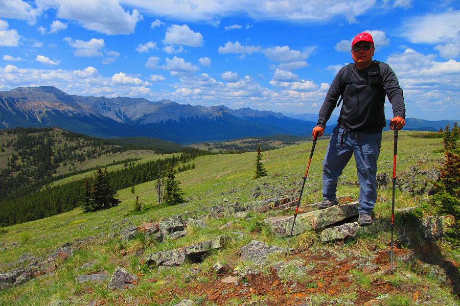 |
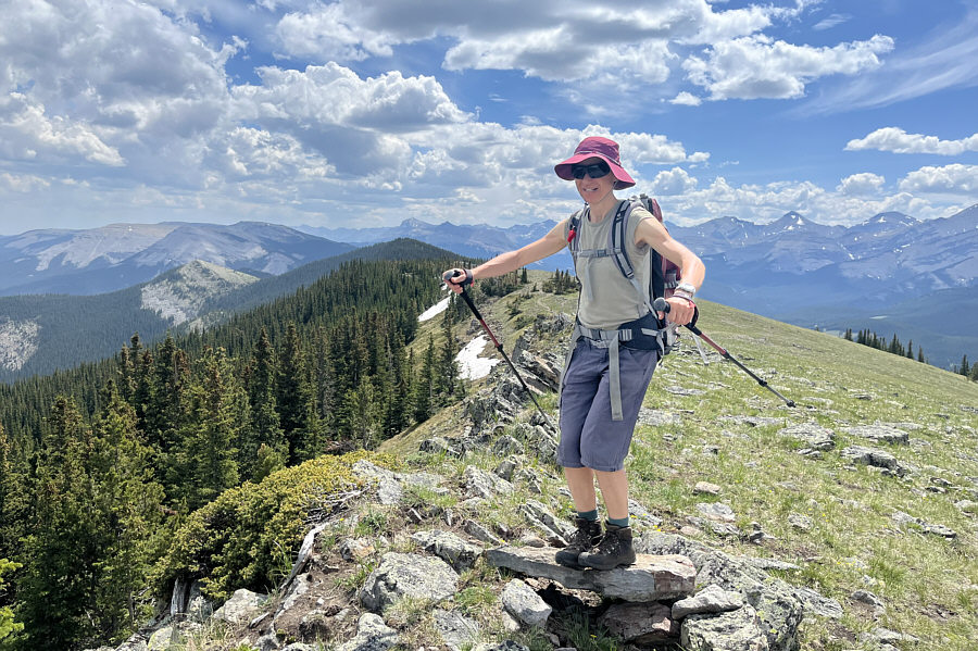
After a bit of backtracking, Sonny
stands on the actual high point of Powderface Ridge (2209 metres). Photo courtesy of Zosia Zgolak |
 |
Zosia balances on a rock at a subsidiary high point along the ridge. Rainy Summit Overlook is visible in the distance to the left. |
 |
The group makes its way toward an outlier which requires a detour from the main trail. |
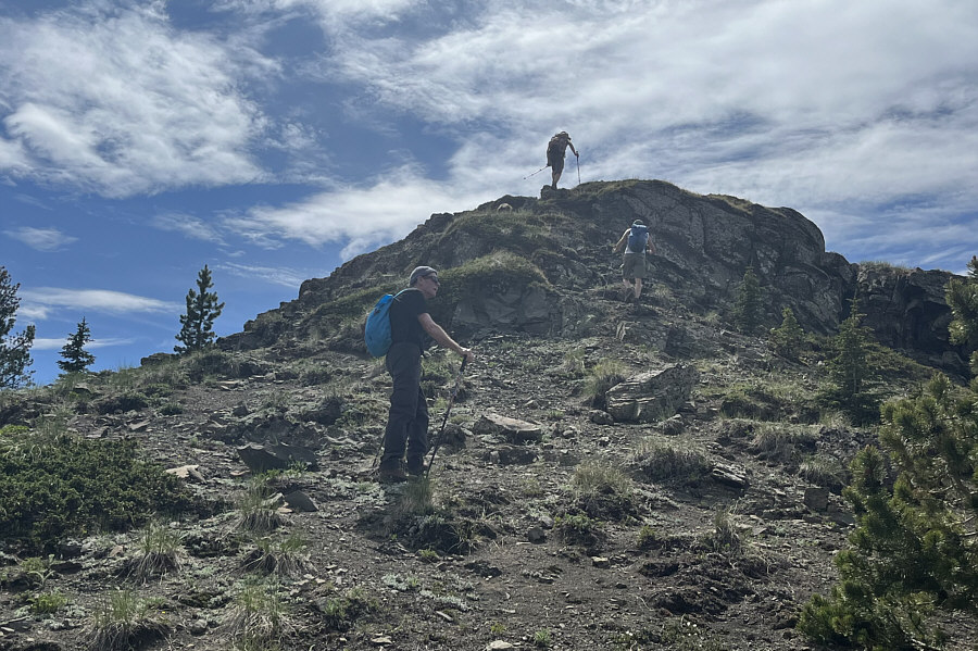 |
Andrew, Zosia and Wendy surmount an easy rock band to reach the top of the outlier. |
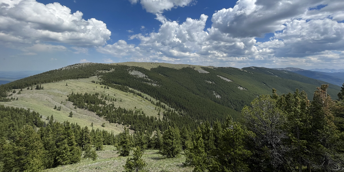
Here is a comprehensive view of Powderface Ridge from the outlier.
 |
The group takes another break on top of the outlier (2160 metres). Powderface Pass is just down the slope behind Zosia. |
 |
This is the start of an off-trail route that drops down to Powderface Trail. This clearing funnels down into a steep gorge, but it is better to stick to the forested ridge at far left. |
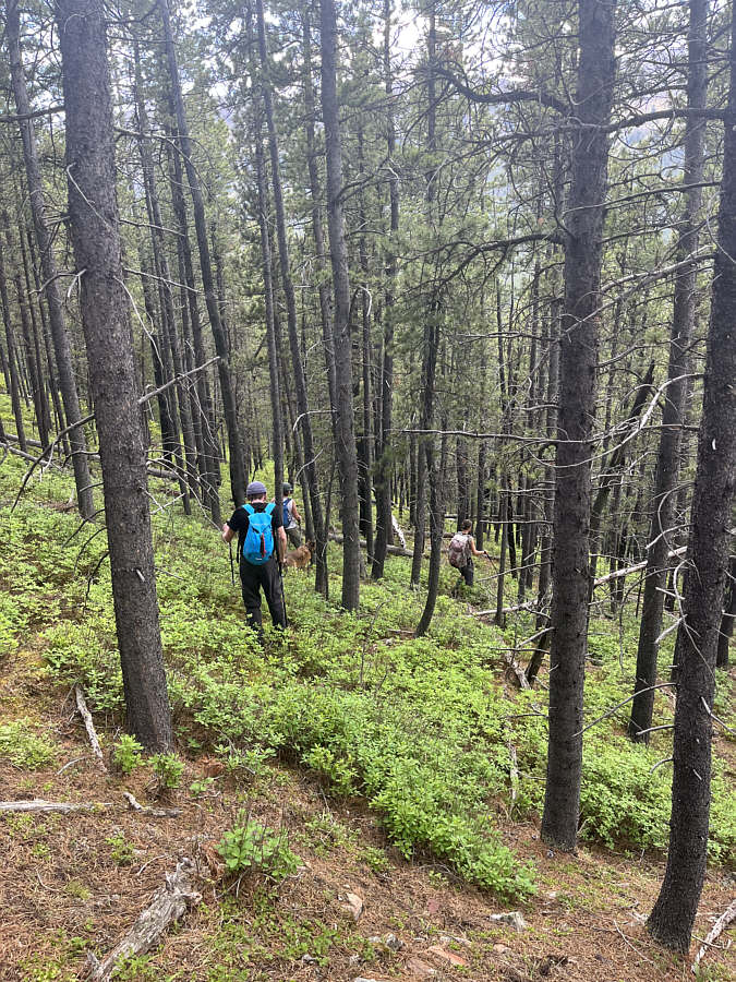 |
The group bushwhacks down a steep forested slope to conclude the hike. |
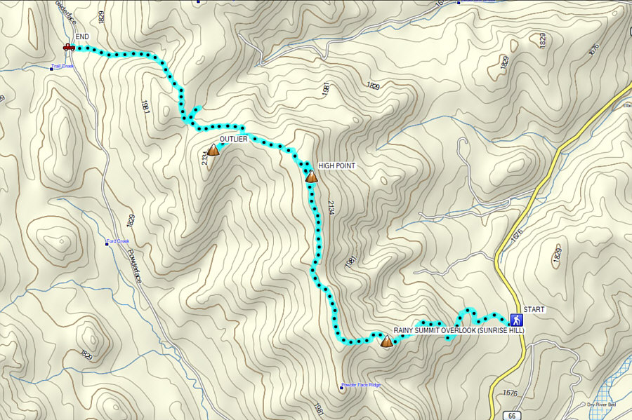 |
Total
Distance: 11.8 kilometres Round-Trip Time: 6 hours 10 minutes Cumulative Elevation Gain: 629 metres |