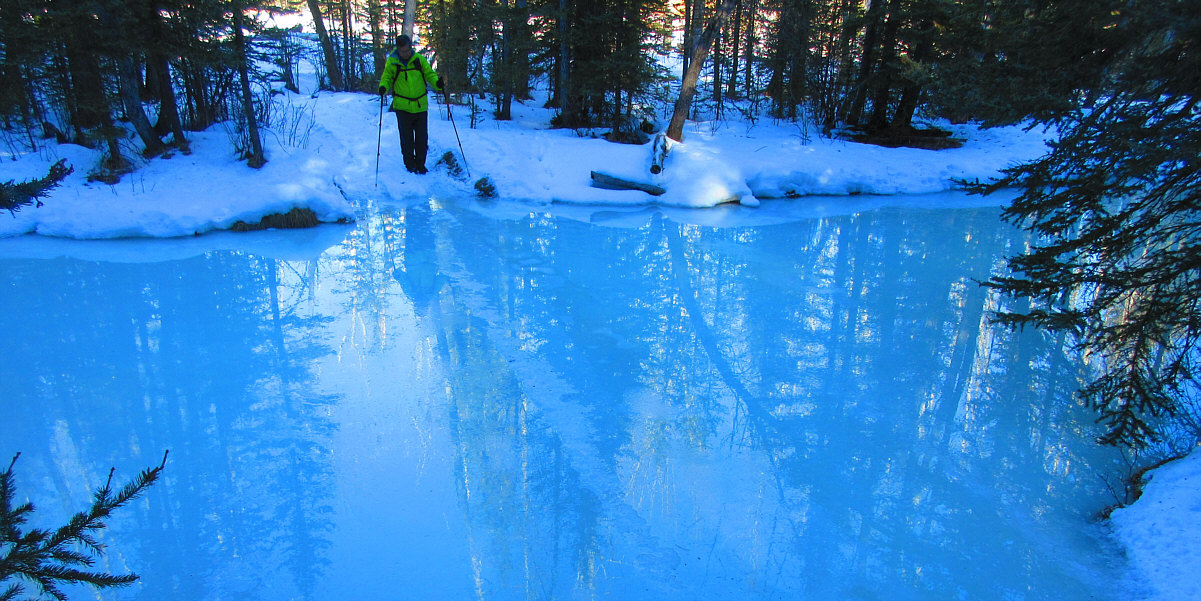
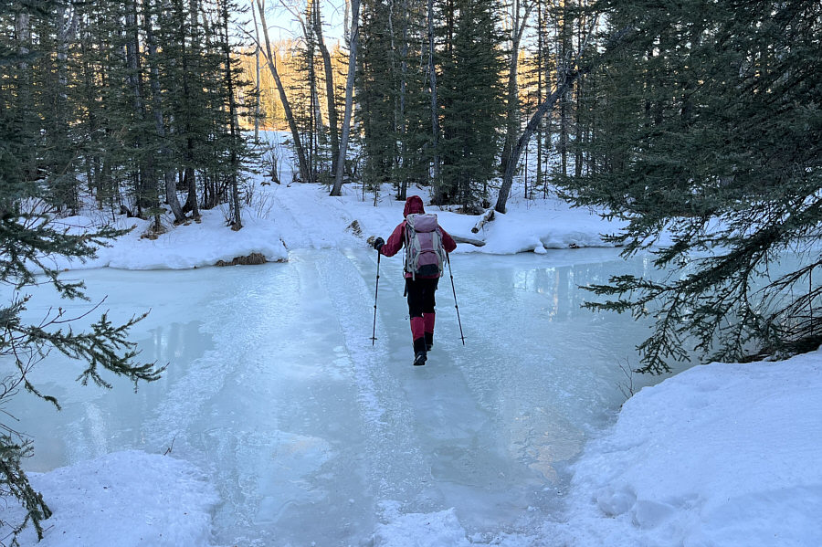
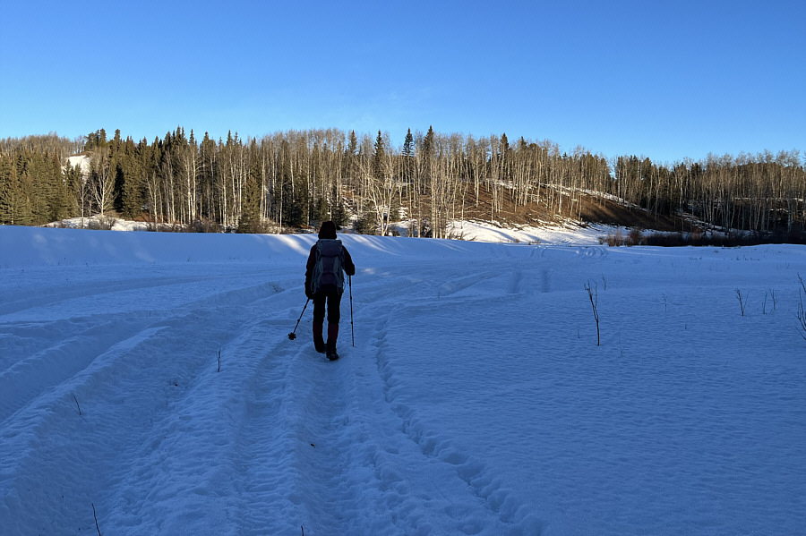
Zosia crosses mostly frozen Fish Creek.
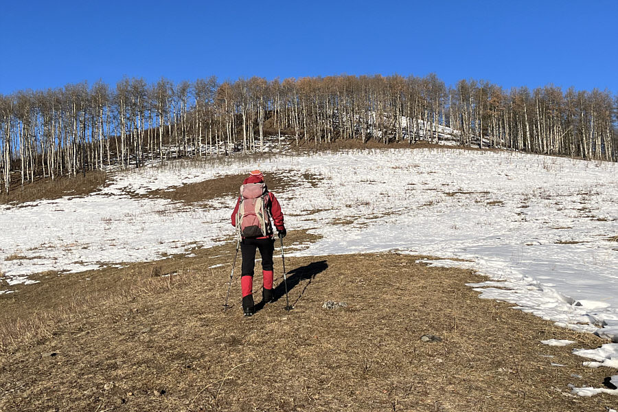
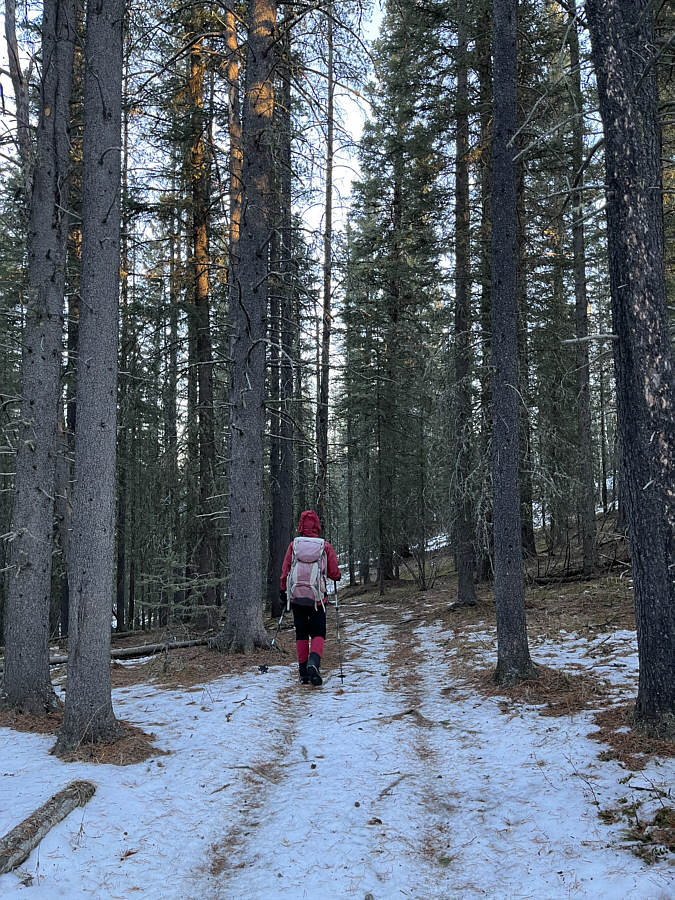
Zosia ascends an open slope aiming for the ridge top behind the line of aspen trees.
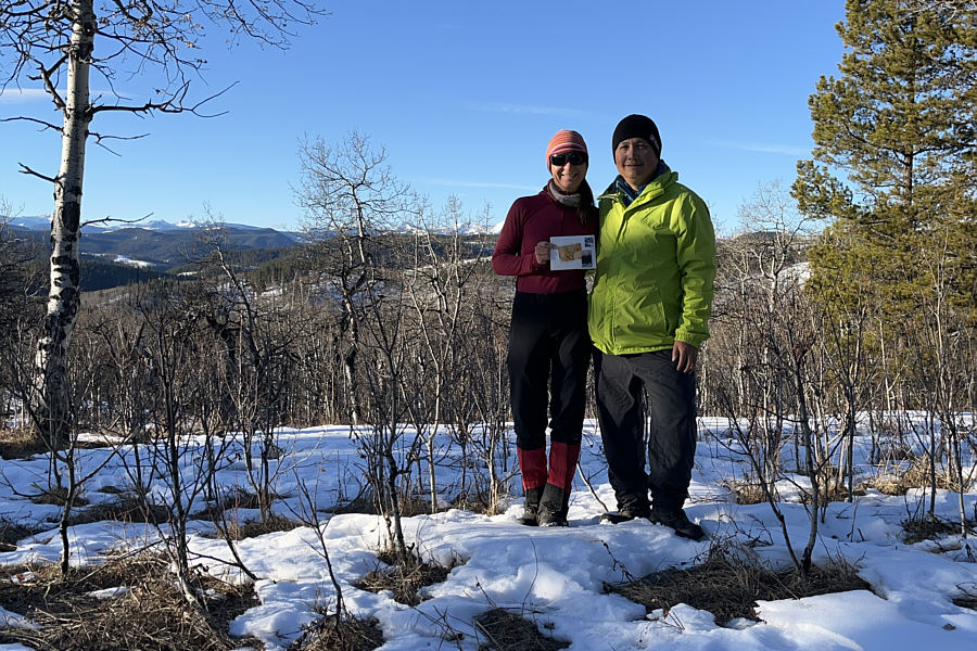
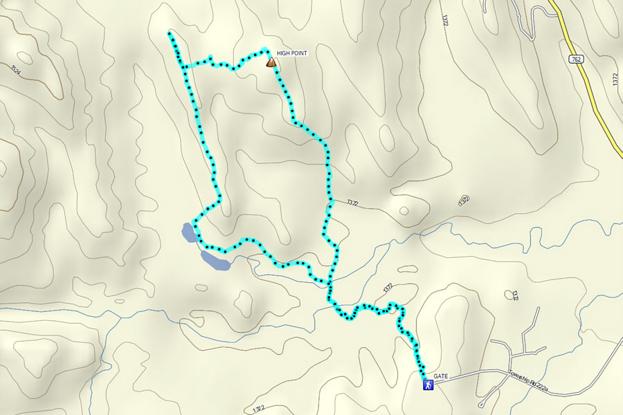
Zosia and Sonny stand near the high point of Rabbit Hill (1499 metres).
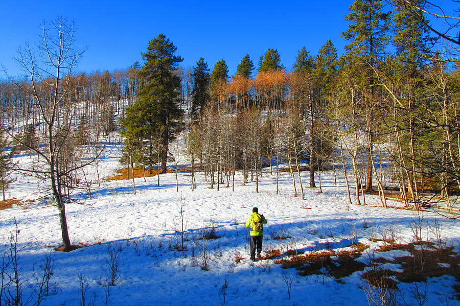
Photo courtesy of Zosia Zgolak
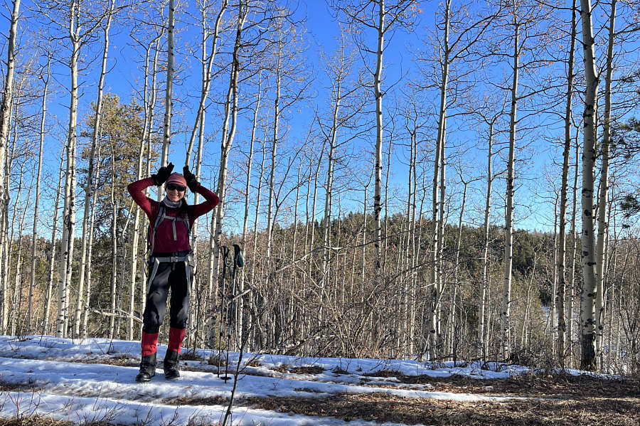
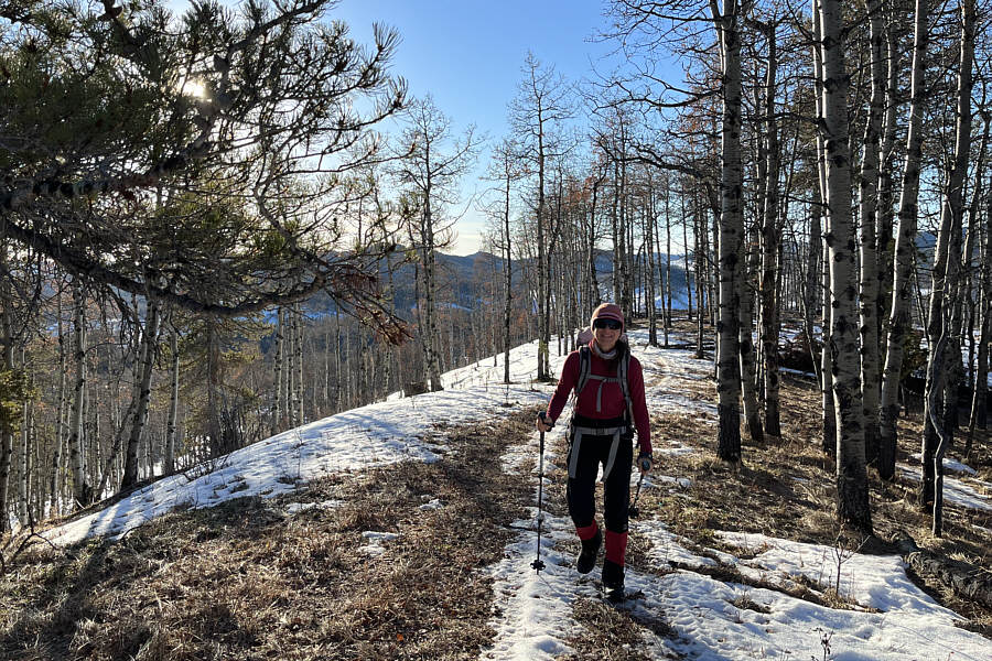
Zosia pretends to be a rabbit on the subsidiary ridge with Rabbit Hill visible in the distance through the trees.
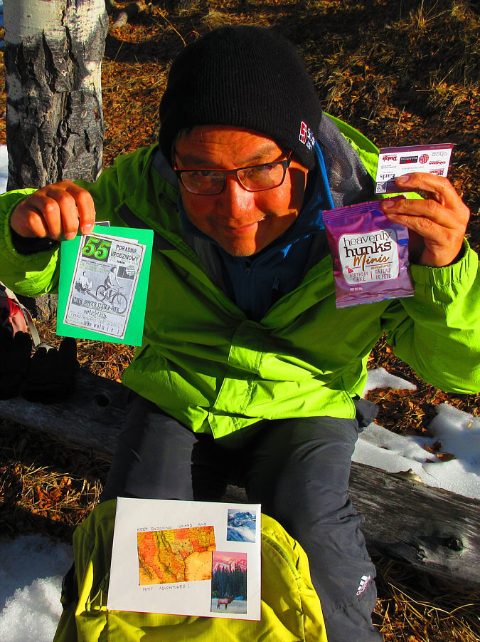
Sonny holds up the swag he received for his birthday from Zosia.
Photo courtesy of Zosia Zgolak