BOU AVENUE
Rysy

On 12 August 2023, Zosia Zgolak and I climbed Rysy located in the Tatra Mountains on the border between Poland and Slovakia.  The mountain also straddles the boundary between similarly-named national parks for both countries--Tatrzański Park Narodowy (Poland) and Tatranský národný park (Slovakia).  Being the highest of the Crown of Polish Mountains and the highest point in Poland, Rysy is understandably popular with Poles especially since the summit is easily accessed by well-maintained trails on both sides of the border.  Anticipating a logistical nightmare getting into the resort town of Zakopane which is the usual starting point for ascents from the Polish (north) side, Zosia planned for us to approach from the purportedly less busy Slovakian (south) side by booking us accommodations in the sleepy village of Štrba.  Unfortunately, our scheduled date for ascending Rysy also coincided with the start of a Polish long weekend, and we would be sharing the trail with many like-minded Poles.

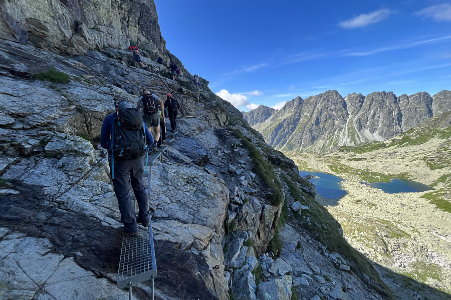
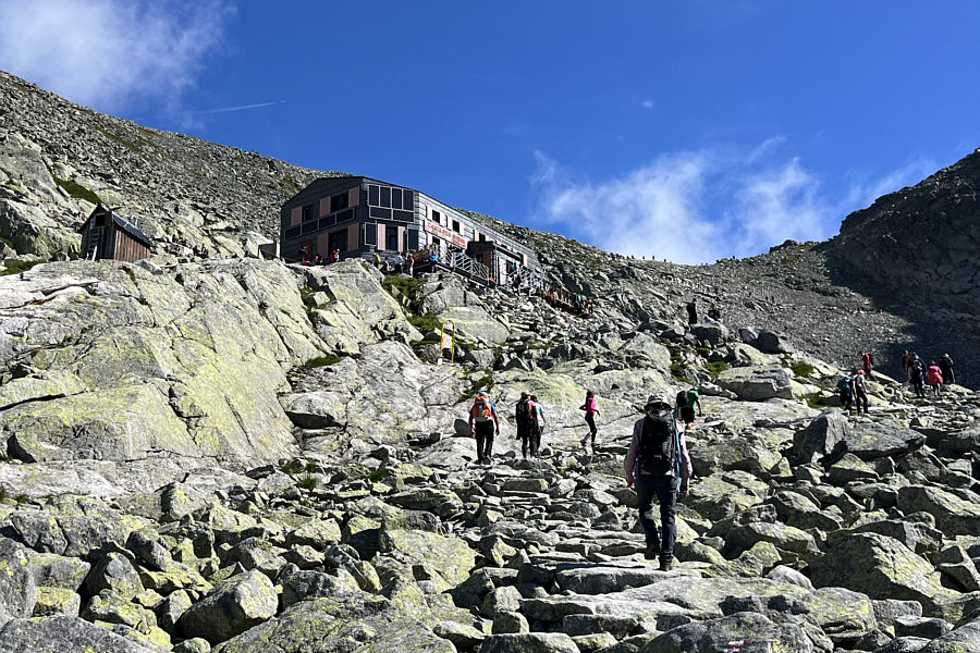
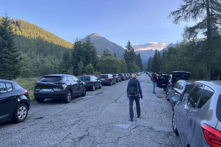
Zosia and I left our accommodations early in hopes of getting a good parking spot along the access road to Popradské pleso (lake), but upon our arrival at 6:00 AM, I was astonished to see so many cars already parked there.  Fortunately, we still managed to find a reasonable spot, and after paying a man who was collecting parking fees (10€ or ~$14.75 CAD per car), we set off on our hike.  At a hairpin turn in the access road, we turned off onto a narrower paved road and passed a vehicle control gate.  We followed this paved road for about another four kilometres before reaching the actual trailhead for Rysy (the paved road continues to a nearby hostel beside the aforementioned lake).  While we had already shared the paved road with plenty of other hikers and even a few cyclists, the hike became even more congested as we fell in line with a constant stream of people moving up the trail.  Zosia and I would rarely be alone for the rest of the day, and even finding some privacy to pee was problematic.  On the positive side, we had no route-finding issues--we only had to follow the masses!  Despite the crowds and circus-like atmosphere, we could still keep moving forward without restraint and made good progress hiking up Mengusovská dolina (valley) and past Žabie plesá (Frog Lakes).  Unfortunately, our progress slowed to a crawl when we reached a via ferrata situated about two-thirds of the way up the mountain.  There was a human traffic jam here as people waited their turn to climb up a series of ladders, chains and catwalks designed to surmount a section of steep and slippery slabs.  It took us about half an hour to get through this bottleneck before we could resume our usual pace.  Higher up, we entered a cirque where there is a large seasonal hut/restaurant--Chata pod Rysmi (Hut under Rysy).  We stopped briefly to check out the busy hut before hiking a little further and finding a comfortable spot for lunch.  When we finished eating, we carried on up to a high col separating Rysy from the next peak (Vysoká) to the south.  From there, we turned northward and pushed up the final stretch of trail before finishing the ascent with some easy scrambling.

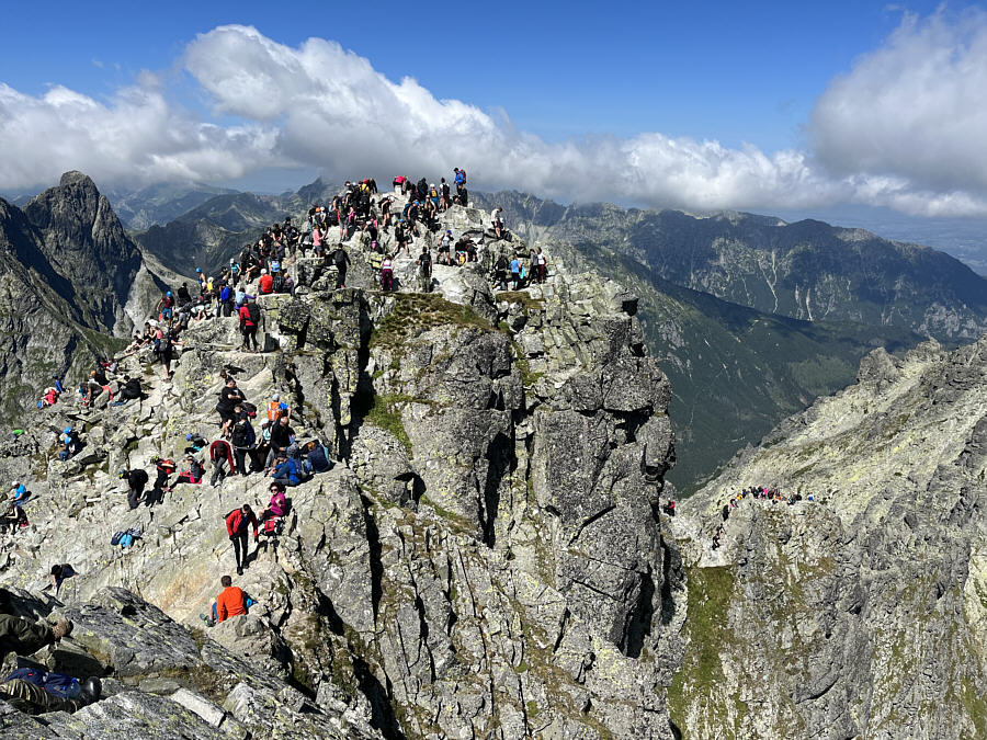
Atop Rysy are two distinct peaks, one right on the Polish-Slovakian boundary and the other supposedly higher one completely within Slovakia.  Both peaks were crawling with people like ants on an ant hill, and Zosia and I could barely squeeze onto each one for our obligatory summit photographs.  After tagging both summits, we had no desire to linger and promptly descended the way we came.  Partway down to the high col, we took a short break on a semi-secluded rock ledge where we enjoyed a bit of solitude while marveling at the surrounding scenery.  When we resumed our descent, we hiked past the hut and once again were stuck in a queue to get through the via ferrata.  To avoid the lineup, quite a few people took a more sketchy alternate descent route, and although we did not see any park wardens on this day, off-trail hiking without a licensed guide is technically illegal here.  A few brazen hikers even jumped the queue which resulted in some testy exchanges, but fortunately, no rocks were hurled.  Getting through the bottleneck took twice as long this time, and even after clearing the via ferrata, we still had to contend with seemingly heavier trail congestion as we hiked out the valley.  At times, I felt like I was in a nightmarish conga line that I could never escape, but we ultimately made it back to the trailhead none the worse for wear.  We still had a long walk out on the paved road, but at least there was a little more breathing room here.  When we returned to our car and drove out, I saw cars parked on both sides of the access road for well over a kilometre beyond our parking spot.  Zosia and I estimate that there were probably a few thousand people hiking up Rysy that day, and that does not take into account the hordes that came up from Zakopane on the Polish side.  Still, I am grateful that all the logistics fell into place for us to ascend the highest point in Poland and that we were blessed with simply amazing weather.
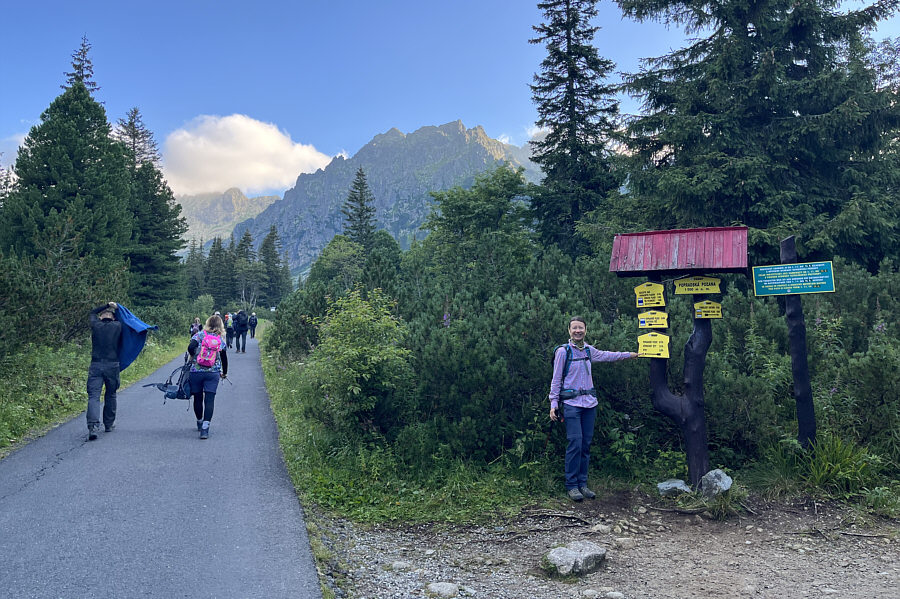
It was a good call to get here early. Zosia begins hiking along the access road.  The paved road to Popradské pleso starts about 650 metres further.
Wish I had my e-bike!

Zosia checks the signs to make sure she is on the right track.  The paved road here is busy but not too crowded.
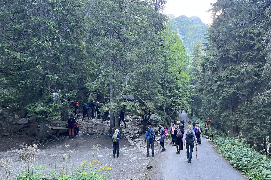
Took us just over an hour to get here. Several hikers congregate at the actual trailhead for Rysy. 
The bushes are still very thick--not great for off-trail travel which is forbidden anyway.

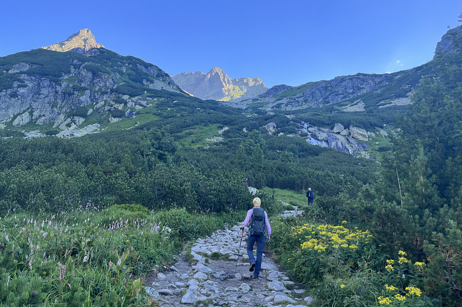
As Zosia climbs higher, tall trees begin to give way to shorter bushes.
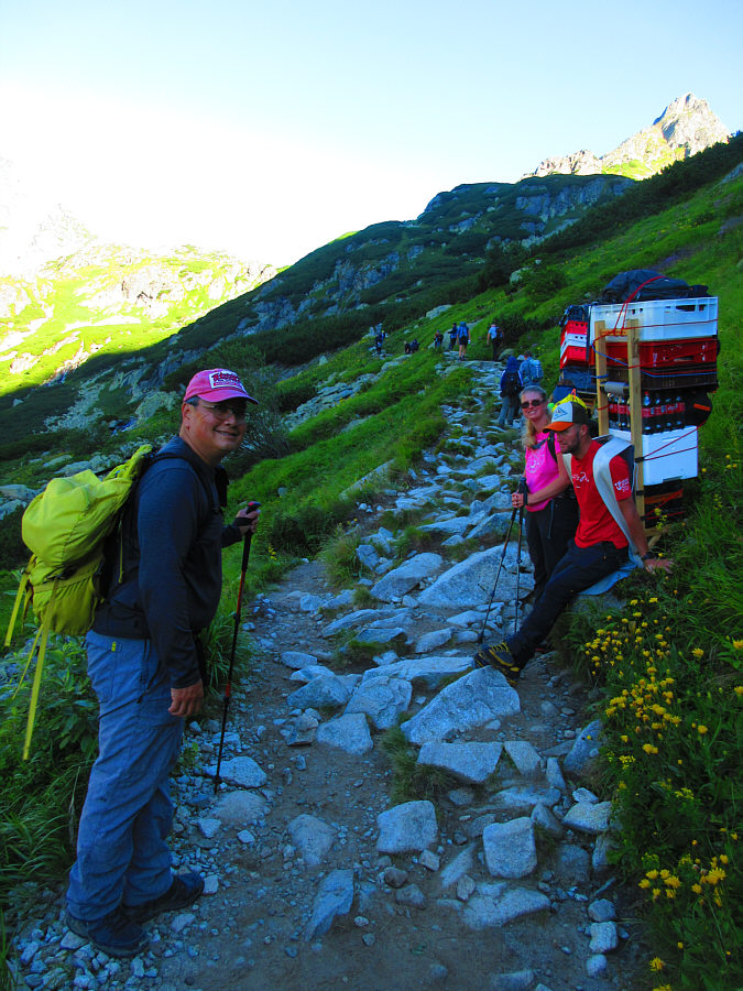
I wonder how much they charge at the hut for one of those bottles of Coke... A porter carrying supplies to the alpine hut on the Slovakian side of Rysy takes a break on the trail.

Photo courtesy of Zosia Zgolak

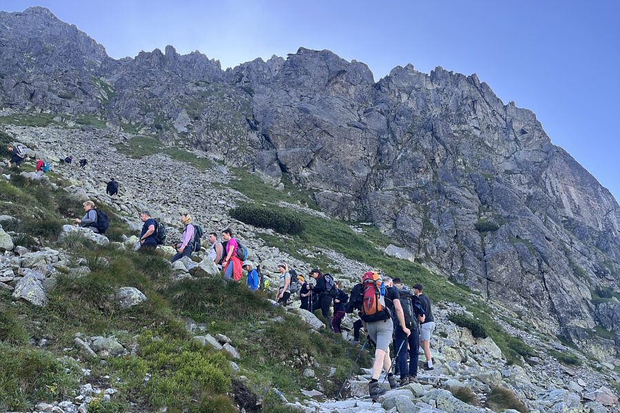
With this many people, there are bound to be a few rotten eggs... The trail is often crowded like this, but the majority of hikers are friendly and courteous.
Really beautiful area--tempting to just hang out here all day. Zosia hikes past the calm waters of Velké Žabie pleso (Greater Frog lake) Mengusovské.

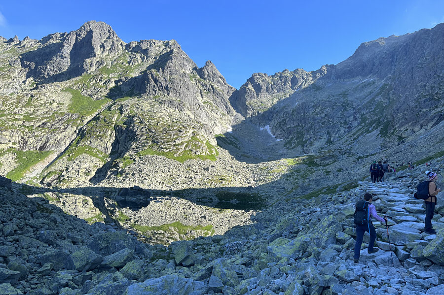
Can you follow the line of people all the way up into the gap?

From here, the trail goes to the back of the valley and then up to the gap at right.  The summit of Rysy is visible at top centre.
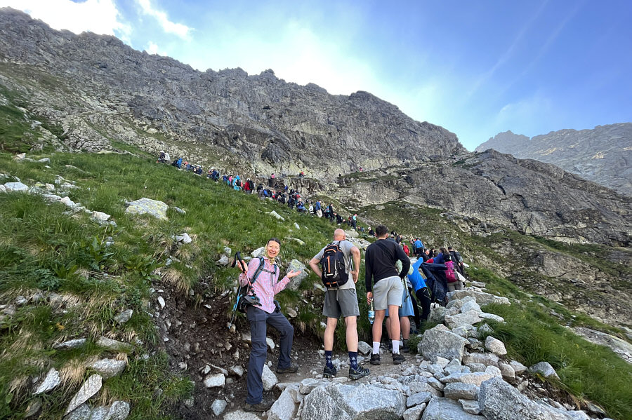
 

Welcome to hiking in Europe!

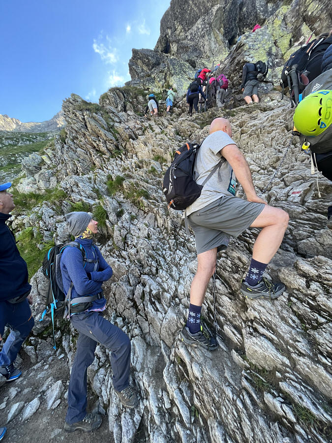
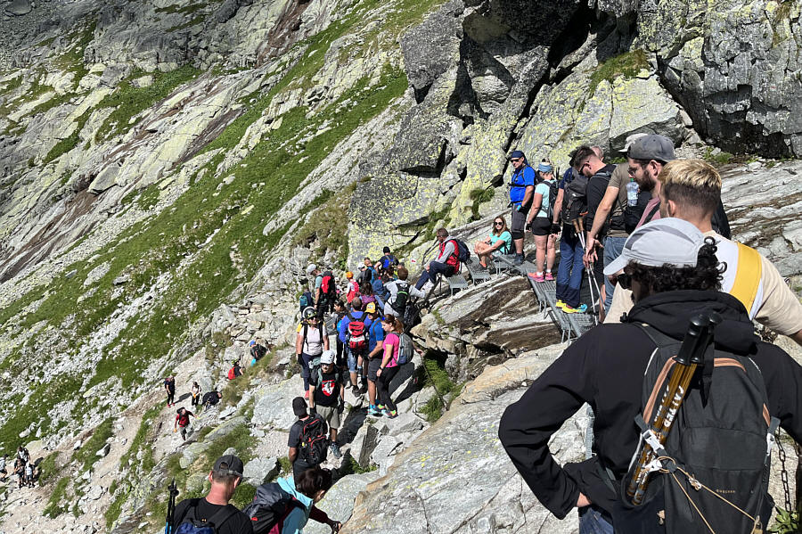
Zosia waits in a long line of people waiting to get through a via ferrata.

All that's missing is a concession stand! Zosia approaches the base of the via ferrata.
One way to thin the crowds would be to remove the via ferrata...just sayin'!

Catwalks and chains provide a margin of safety for ascending the precipitous terrain here.

Alpine luxury!

Chata pod Rysmi is a seasonal shelter and restaurant located just below a high col (sedlo Váha).

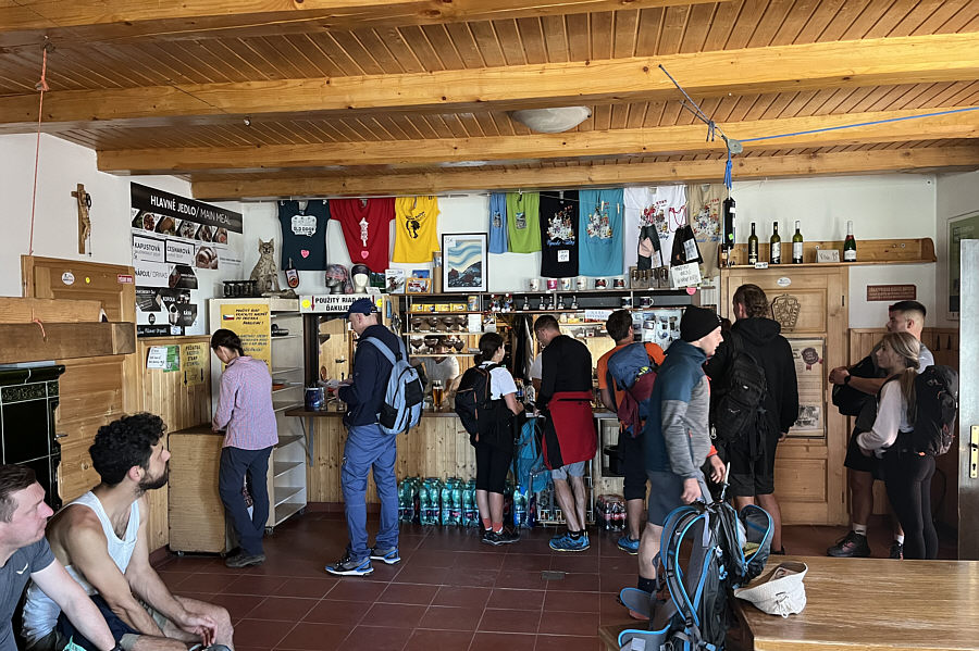
Zosia is getting a souvenir rubber stamp instead of a beer! The pub/eatery inside Chata pod Rysmi is expectedly busy on this day.
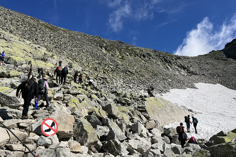
If you can make it past the via ferrata with high heels, I don't think the rest of the mountain would pose much more of a challenge!

High heels are apparently forbidden on the trail above Chata pod Rysmi.

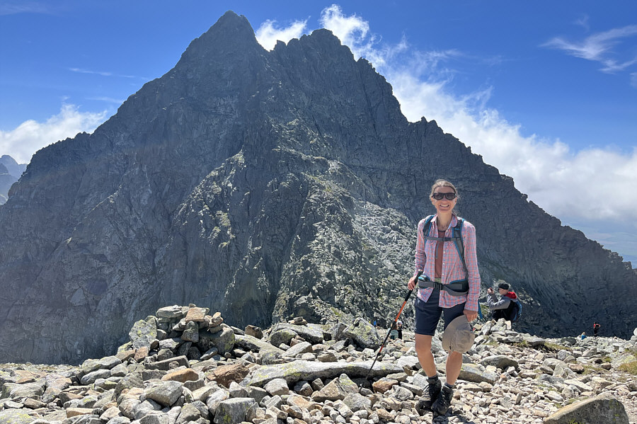
Can you spot the climbers on Vysoká? Zosia stands near sedlo (saddle) Váha with rugged Vysoká dominating the background.
Oh, the humanity!

Zosia prepares for the final push to the twin summits of Rysy.

Angels on Rysy?

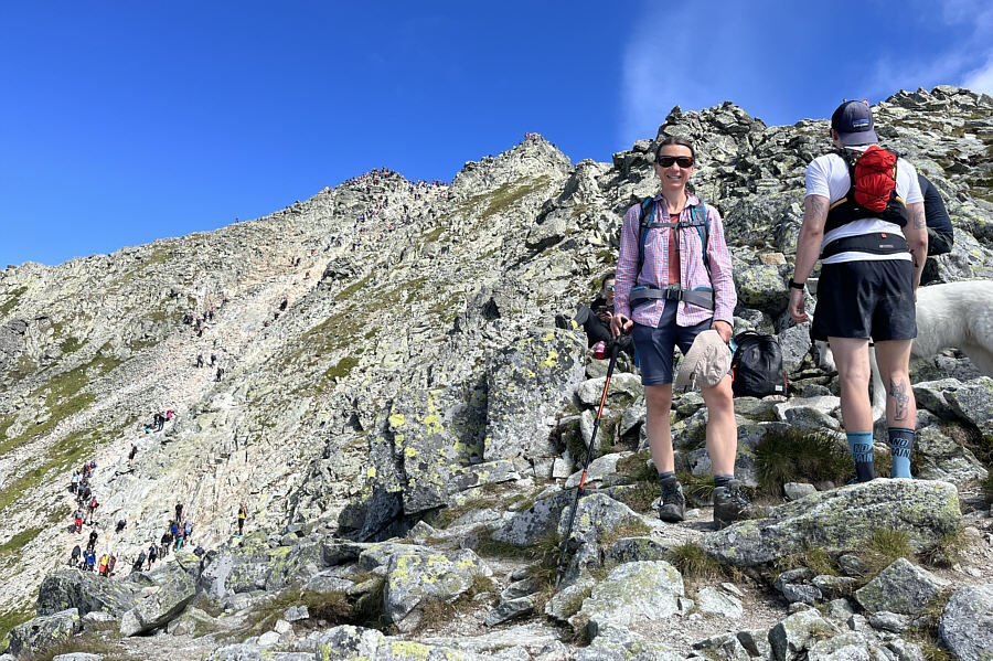
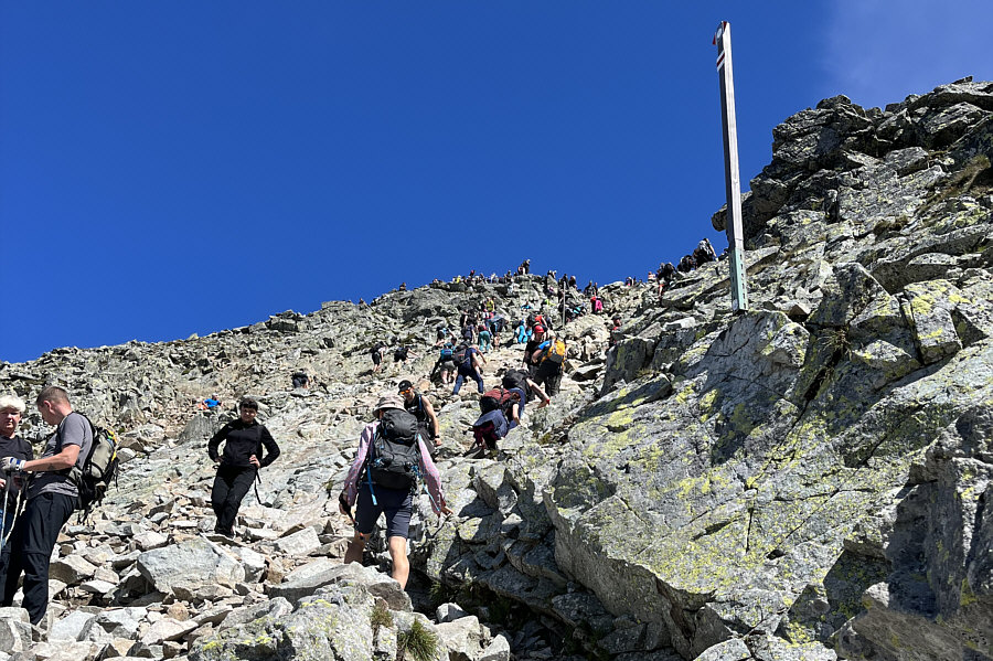
The final stretch resembles Jacob's Ladder as a steady stream of people ascend to and descend from the top.

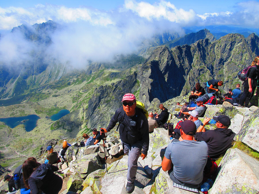
We need a few kids throwing rocks off the summit... Sonny maneuvers through a horde of people parked near the Polish summit.

Photo courtesy of Zosia Zgolak

Góralu, czy ci nie żal, Góralu, wracaj do hal! Sonny and Zosia reach the Polish summit (2509 metres*) of Rysy, the highest point in Poland.

*Likely inaccurate since my GPS track gave a reading of 2499 metres when we departed the summit.

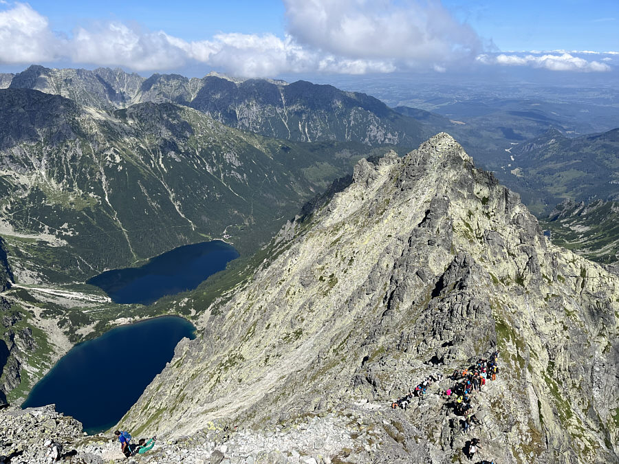
Sucks to be them! Czarny Staw pod Rysami (bottom left) and Morskie Oko are the two lakes that sit to the northwest of Rysy.  Note the log jam of hikers coming up the Polish side of the mountain.
Ugh.

The Slovakian summit of Rysy is also crowded.  Visible at distant far left is Gerlachovský štít or Gerlach, the highest mountain in the High Tatras and in Slovakia.

A rare occasion when Zosia scrambles without a helmet!

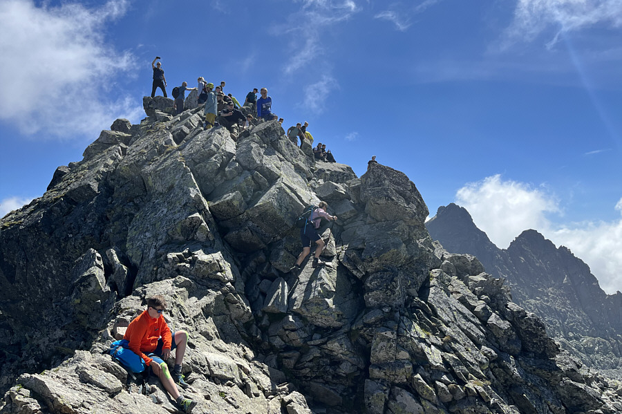
Zosia scrambles up the Slovakian summit block.

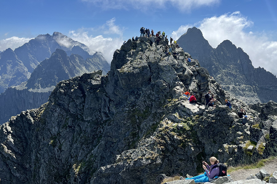
Not much privacy here if you need to pee... Here is a look back at the Polish summit from the Slovakian summit.  Hikers coming up the Polish route can again be seen at bottom right.
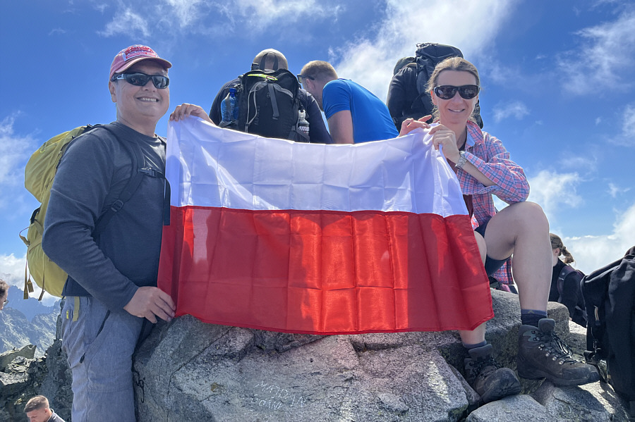
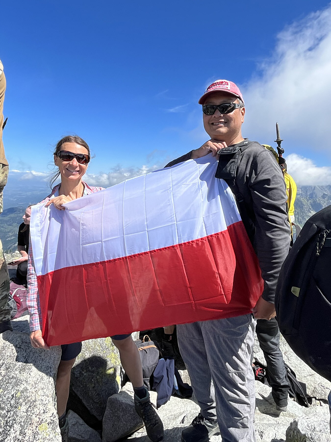
Ahoj! Zosia and Sonny hold up the Polish flag on the Slovakian summit (2506 metres) of Rysy.

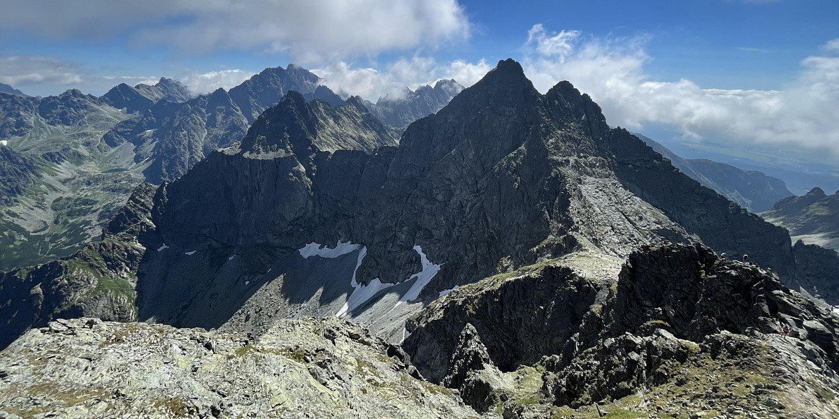
I would love to come back someday to climb Gerlach!

From the Slovakian summit of Rysy, the view to the southeast includes Gerlach (left horizon) and Vysoká (right).  Hikers can also be seen at sedlo Váha (lower right).
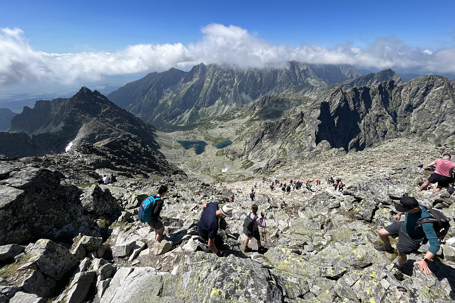
 

Can't get away from here fast enough! Zosia leaves the summit and descends the way she came.
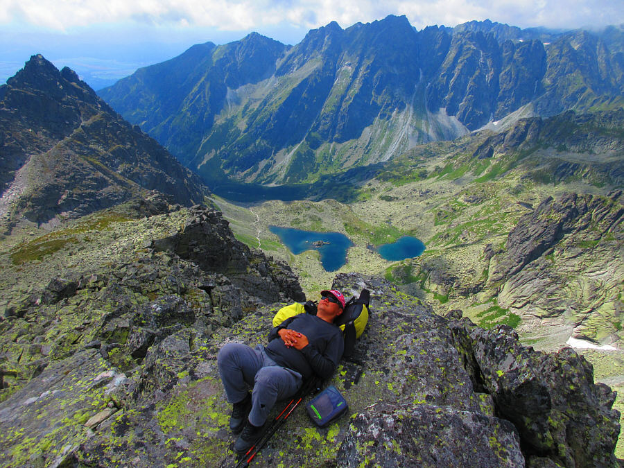
Ahhh...sweet solitude! Sonny relaxes in a secluded spot away from the crowds.

Photo courtesy of Zosia Zgolak

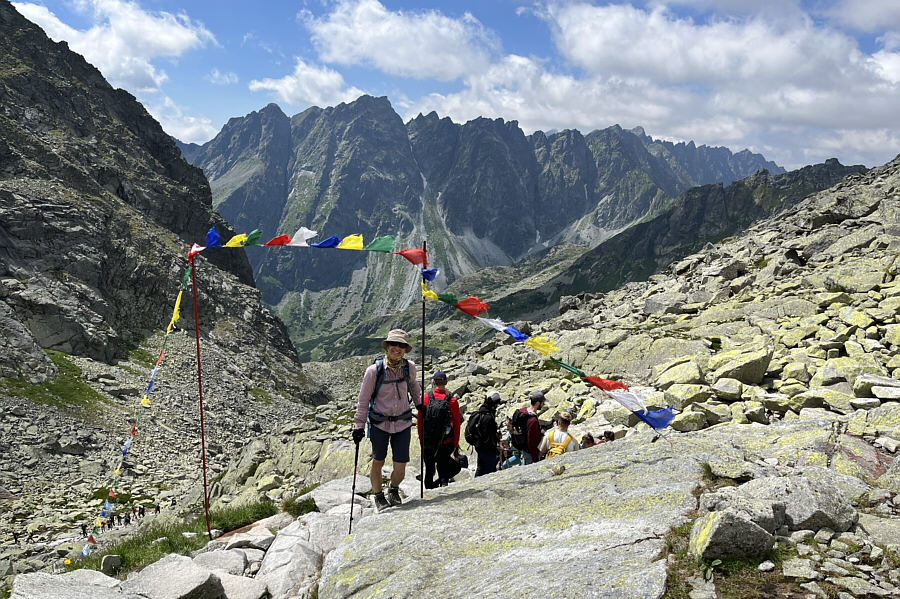
Namaste! On the way down, Zosia pauses by these prayer flags which mark the gateway to Chata pod Rysmi.
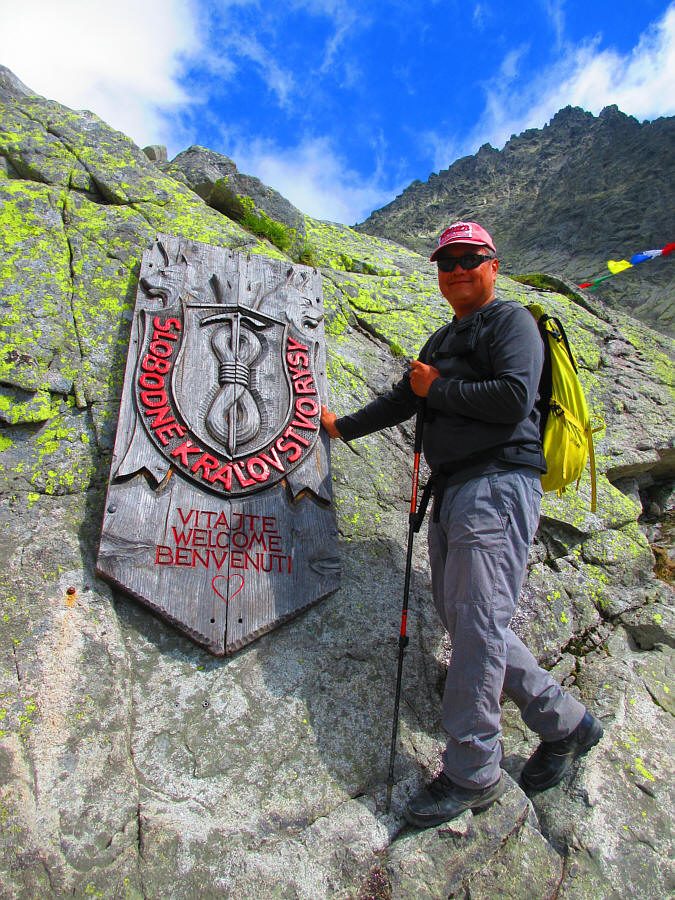
It's odd that "WELCOME" is in Slovak, English and Italian only! Just below the prayer flags is this sign which reads, Slobodné kráľovstvo Rysy (The Free Kingdom Rysy).

Photo courtesy of Zosia Zgolak

Doh! The wait at the via ferrata is even longer on descent.
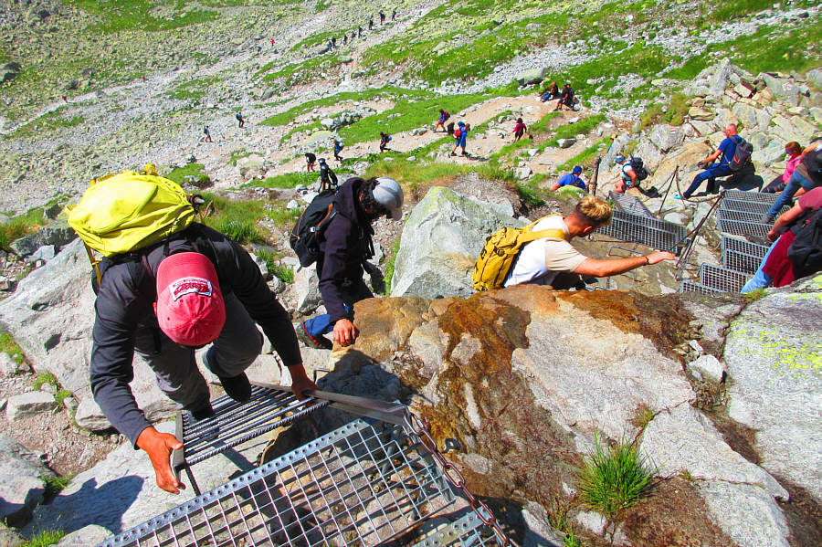
We actually moved pretty quickly through here, so what was the hold-up? Sonny descends a ladder at the via ferrata.

Photo courtesy of Zosia Zgolak

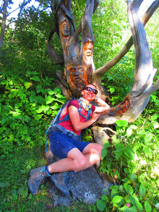
Treebeard? After surviving the crowds on Rysy, Zosia finds solace among wooden folk.

Photo courtesy of Zosia Zgolak

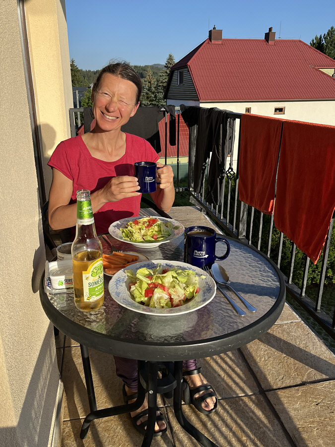
Dobrú chuť! Zosia enjoys a fantastic dinner at the end of the day back at her accommodations in the village of Štrba.
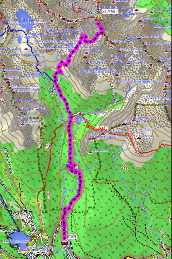
A demanding ascent both physically and mentally. Total Distance:  20.3 kilometres
Round-Trip Time:  10 hours 31 minutes
Cumulative Elevation Gain:  1249 metres

GPX Data