 |
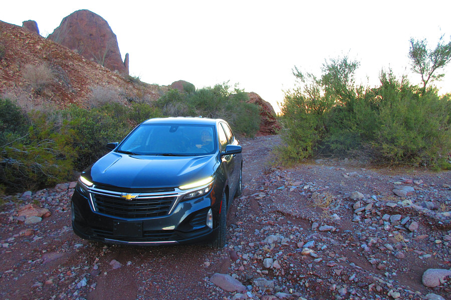
The drive to the trailhead is long and
very bumpy. Photo courtesy of Zosia Zgolak |
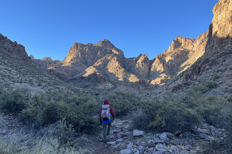 |
In this view from near the trailhead, the route ultimately climbs up to the right of Ten Ewe Mountain (centre). |
 |
Zosia gains elevation quickly on a good trail. |
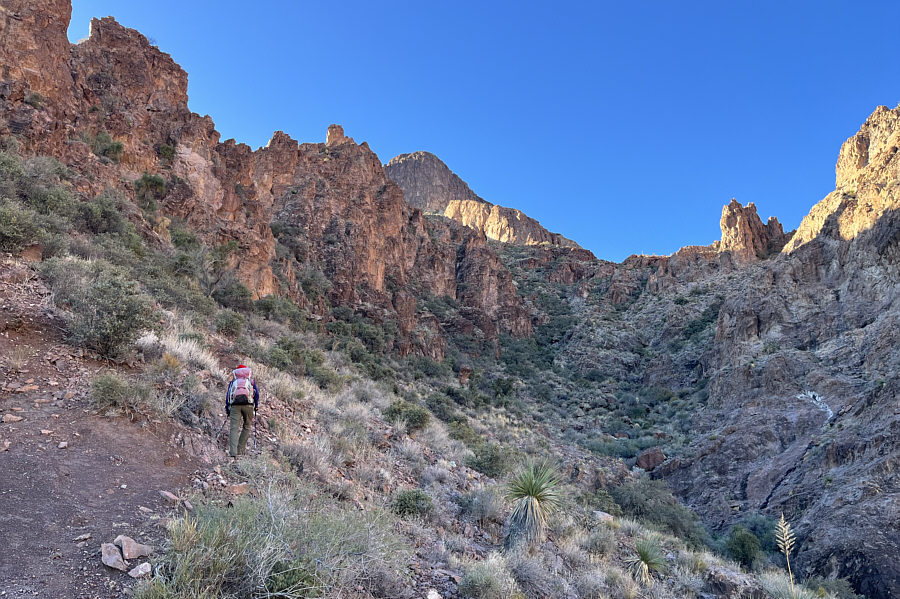 |
The trail eventually goes under the pinnacle at right. |
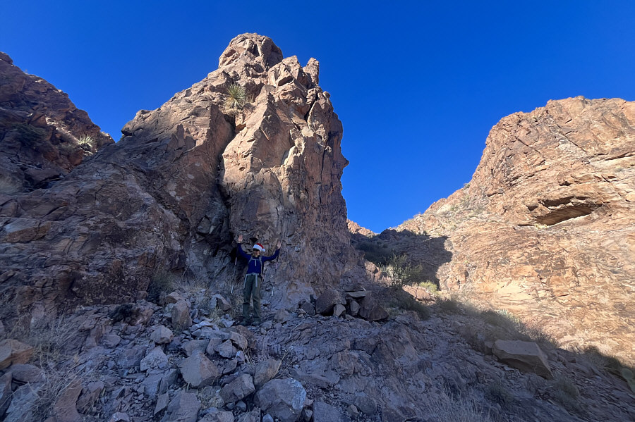 |
Zosia reaches the base of the aforementioned pinnacle. |
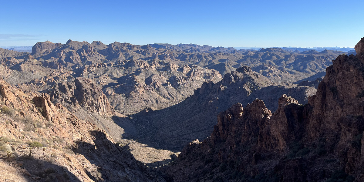
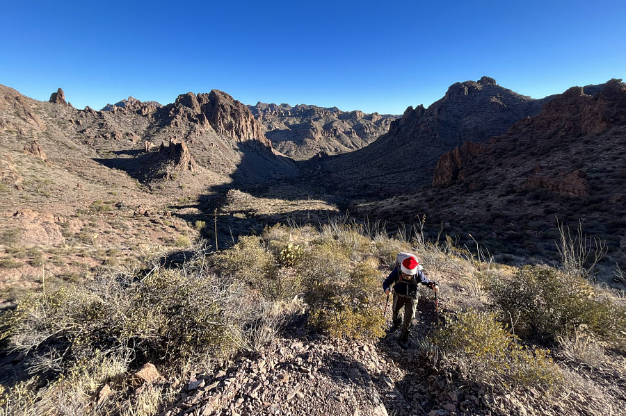
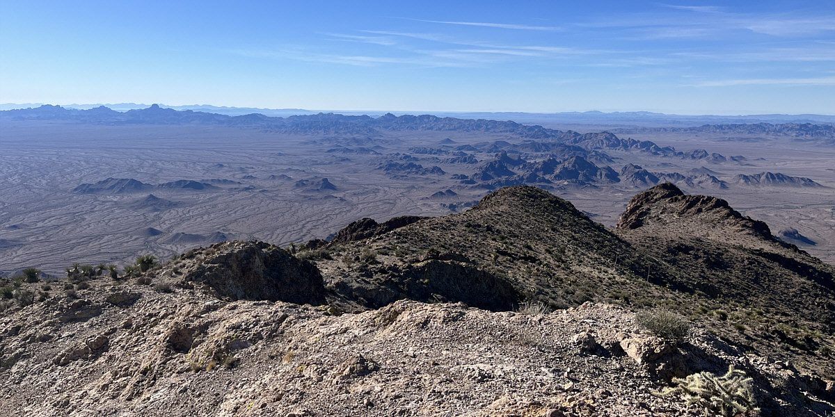
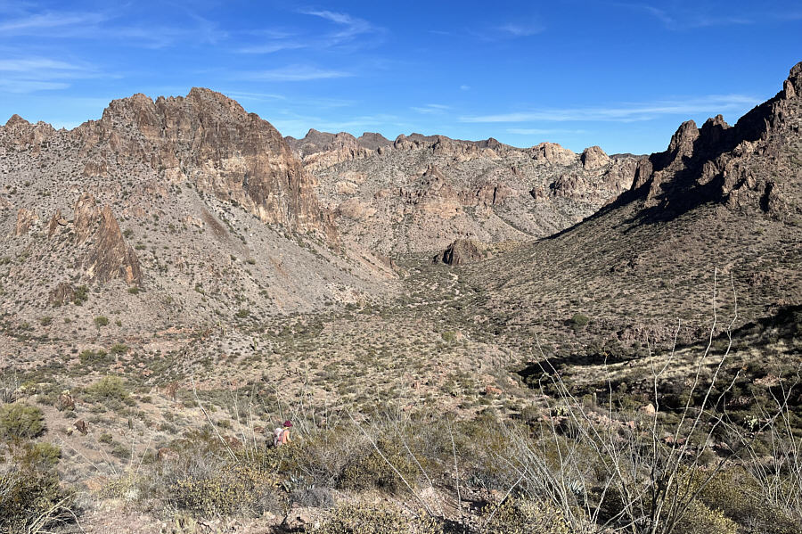
Here is a look back at the approach valley and the many unnamed ridges within Kofa National Wildlife Refuge.
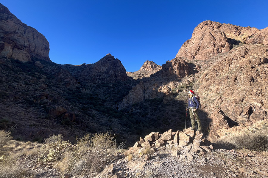 |
From this saddle, the route heads through the gap at centre. |
 |
The route goes over some slabs in the gap and will turn to the right underneath the peak at centre. |
 |
Sonny has climbed up from the gap at
bottom right. Photo courtesy of Zosia Zgolak |
 |
Zosia approaches the summit block of Signal Peak. |
 |
Sonny and Zosia stand on the summit of Signal Peak (1482 metres). |
Here is the view to the southwest from the summit.
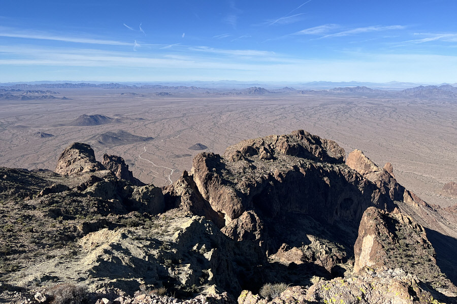 |
The road to Palm Canyon can be seen in this view to the west. |
 |
Zosia heads for the north summit of Signal Peak. |
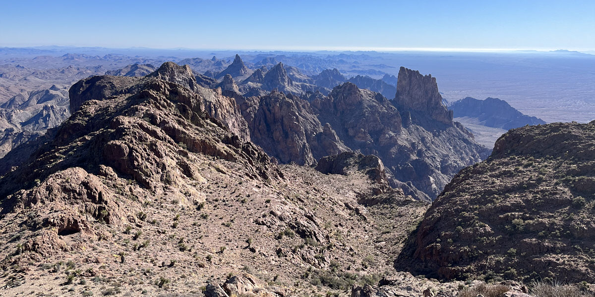
In this view to the southeast from Signal Peak's north summit, the striking pinnacle at right is known as Summit Peak South (officially-named Summit Peak is the lower bump to the left of the pinnacle).
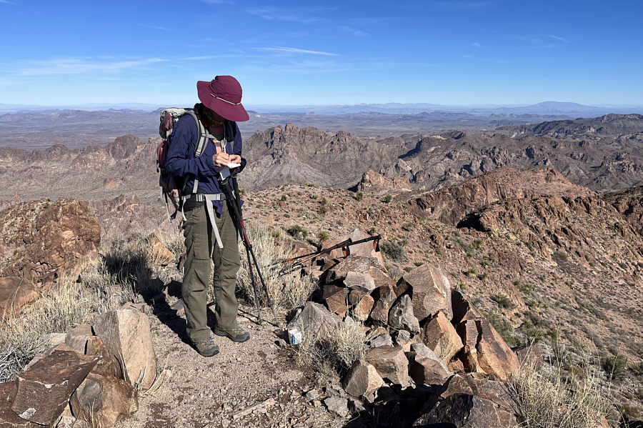 |
Zosia signs the register on the north summit (1482 metres). |
 |
This is looking back at the gazetted (south) summit of Signal Peak from the north summit. |
 |
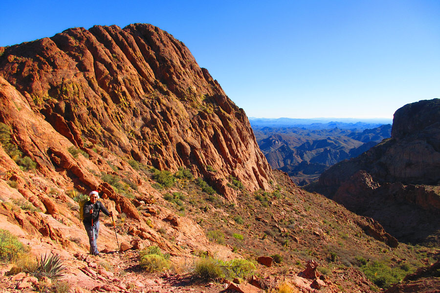
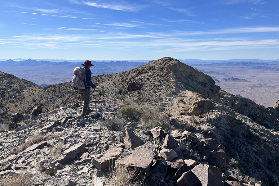
Zosia heads back down to the gap (lower left) with Ten Ewe Mountain dominating the background. |
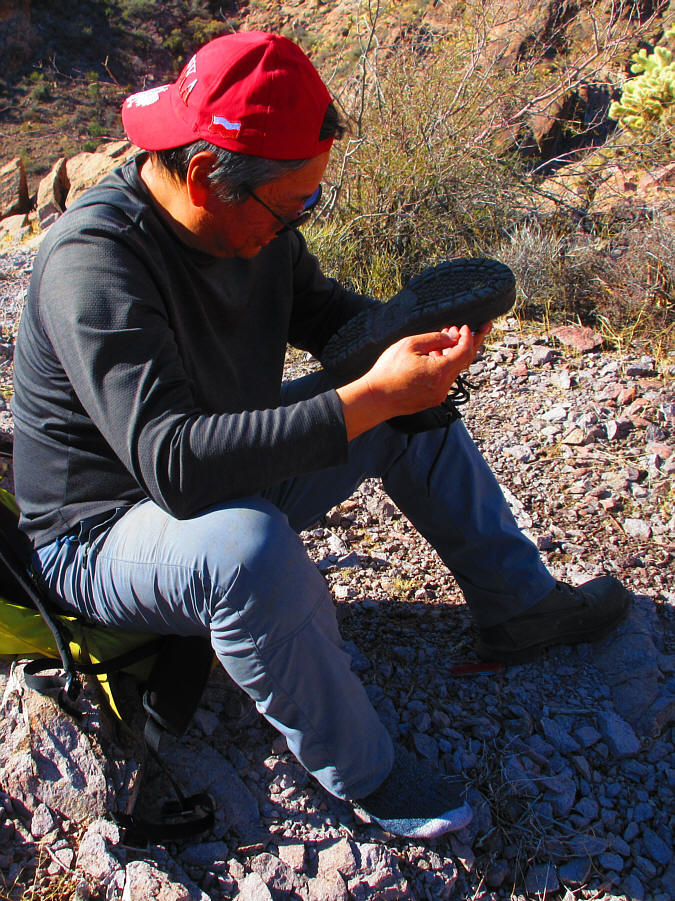 |
Sonny pulls out, with difficulty, some
cholla cactus spines stuck in his boot sole. Photo courtesy of Zosia Zgolak |
 |
Zosia is back on easier ground as she makes her way out of the canyon. |
 |
On the drive out, Sonny stops to check
out Skull Rock. Photo courtesy of Zosia Zgolak |
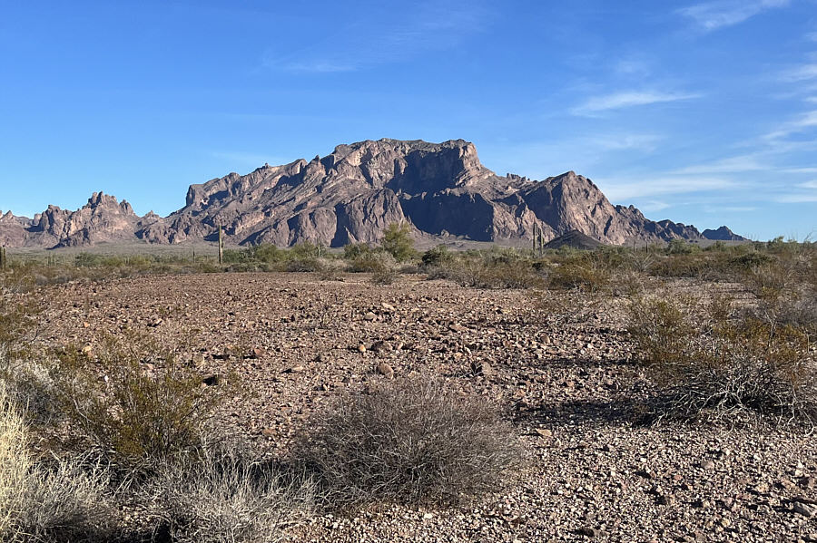 |
Here is a last look at Signal Peak from the desert flats to the west. |
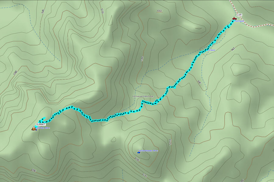 |
Total
Distance: 6.4 kilometres Round-Trip Time: 5 hours 12 minutes Net Elevation Gain: 616 metres |