Most of the approach along North Fork Bull River is like this.
The trail eventually deteriorates into an unmaintained beaten path with lots of inconvenient deadfall and annoying dips.
Photo courtesy of Zosia Zgolak
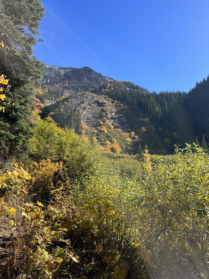
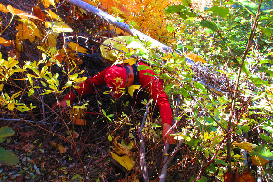
Photo courtesy of Zosia Zgolak
|
|
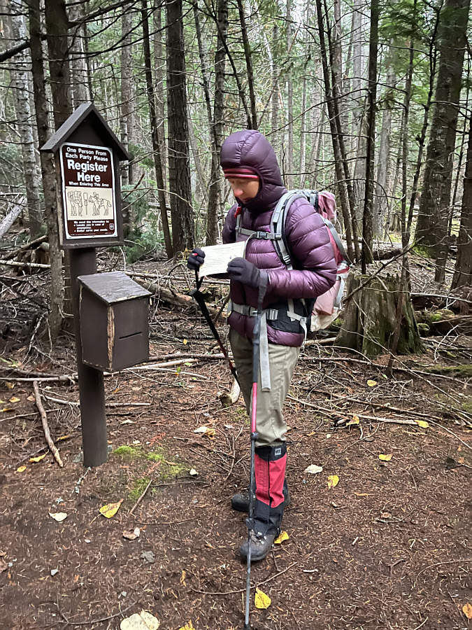
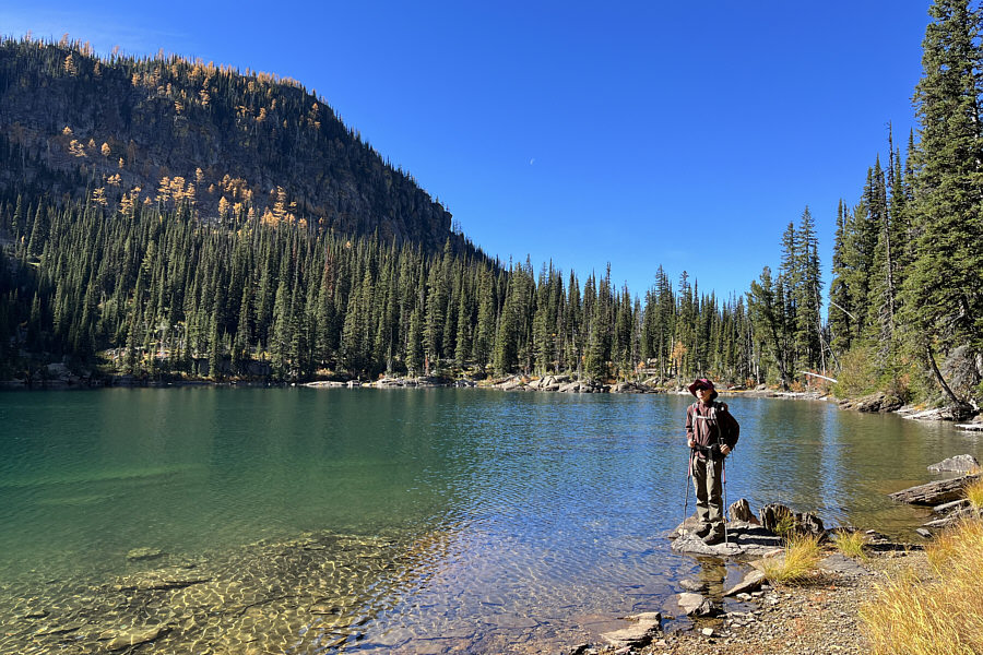
Zosia completes a self-registration at the start of the hike. |
|
|
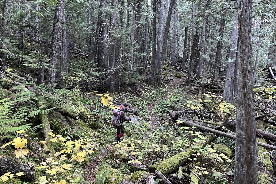
Most of the approach along North Fork Bull River is like this. |
|
|
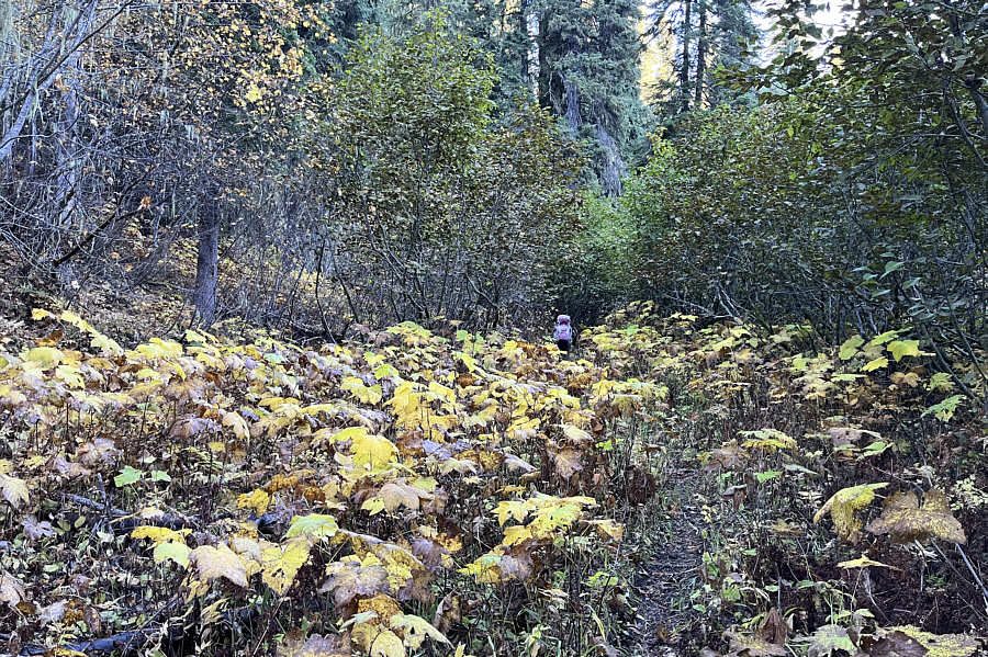
The vegetation begins to encroach on the trail further up the valley. |
|
|
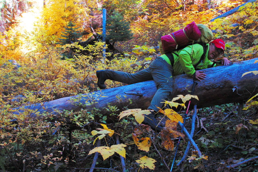
The trail eventually deteriorates into an unmaintained beaten path with lots of inconvenient deadfall and annoying dips. Photo courtesy of Zosia Zgolak |
|
|
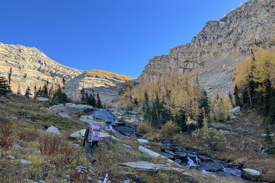
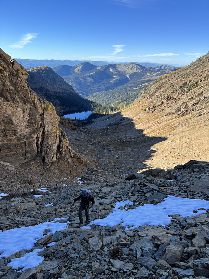
A steep headwall guards the approach to Snowshoe Lake. |
|
|
At the base of the headwall, Sonny
loses the trail and thrashes through some pretty heinous bush. Photo courtesy of Zosia Zgolak |
|
|
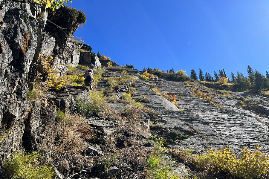
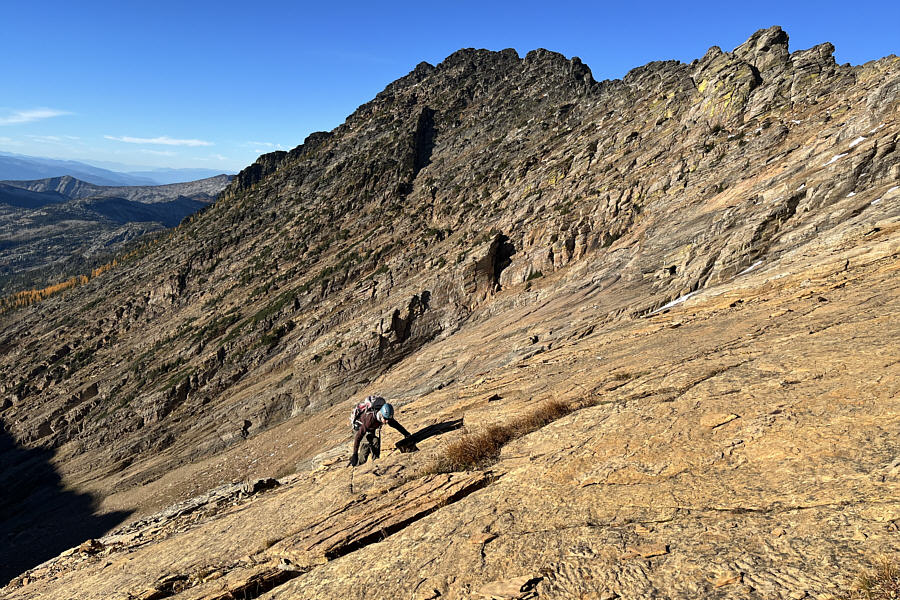
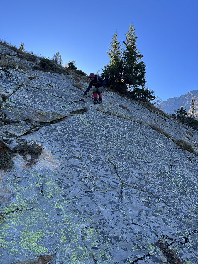
Partway up the headwall, Zosia scrambles up rock slabs which are much steeper than they appear here. |
|
|
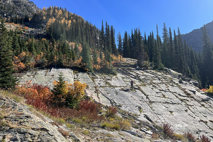
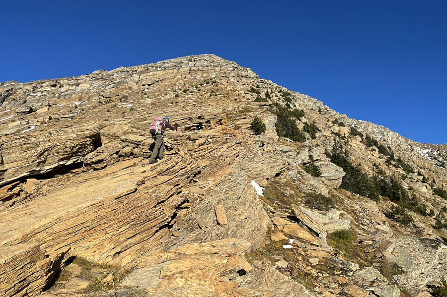
Near the top of the headwall, the angle eases, but there is still a little bit of climbing left before the lake. |
|
|
Zosia arrives at Snowshoe Lake. |
 |
Zosia hikes into the basin above the lake. The best route to gain the ridge above is to follow the larches at centre. |
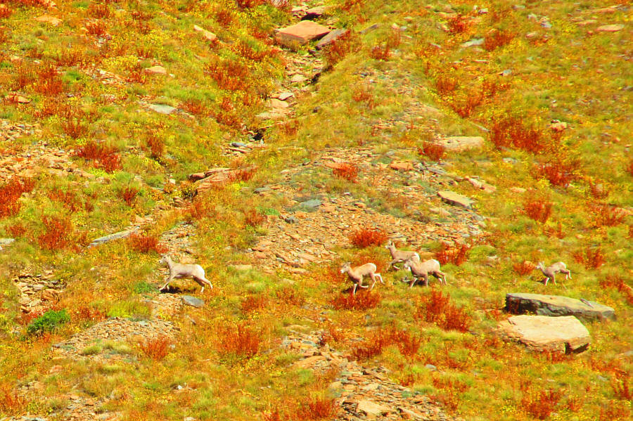 |
A herd of sheep scamper across the far
side of the basin. Photo courtesy of Zosia Zgolak |
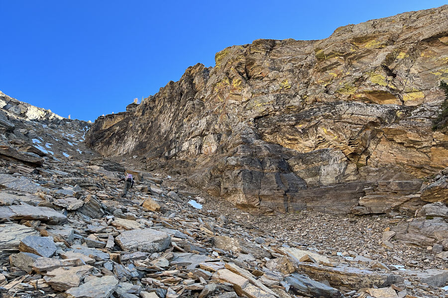 |
Zosia climbs up a rubble slope alongside some cliffs. |
 |
Zosia tries to avoid some snow patches higher up the rubble slope. |
 |
Zosia scrambles up a slightly exposed rock slab. |
 |
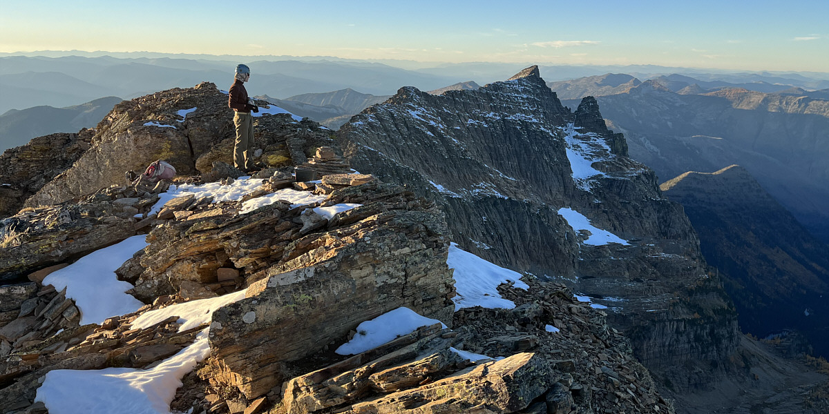
Zosia gains the west ridge of Snowshoe Peak. |
 |
Zosia avoids more technical terrain by keeping to climber's right while ascending the west ridge. |
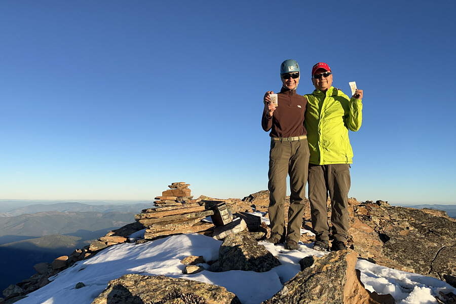 |
Zosia and Sonny stand on the summit of Snowshoe Peak (2665 metres). |
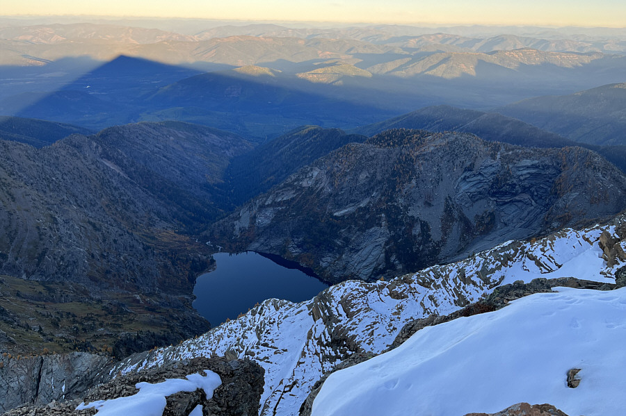 |
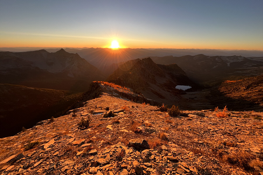
Snowshoe Peak's shadow stretches far beyond Leigh Lake to the east. |
The pointy mountain to the northwest has a peculiar name--A Peak.
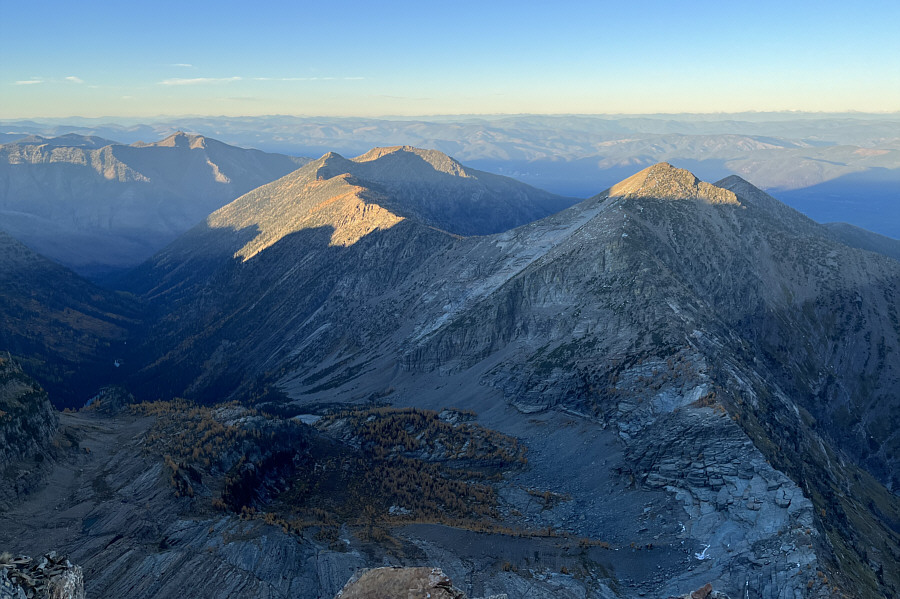 |
To the northeast, the tops of Flavel Ridge (left of centre) and Bockman Peak (right) are still illuminated by the sun. |
 |
The west ridge glows as the sun begins to set. |
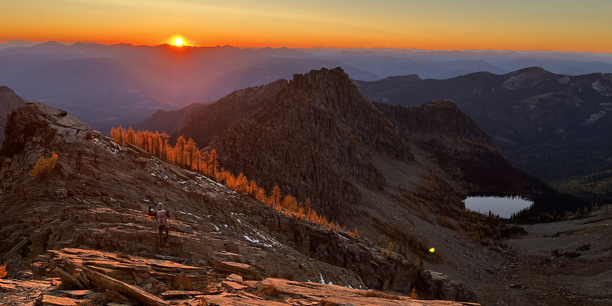
Zosia heads for the golden larches in hopes of finding an easier way off the ridge.
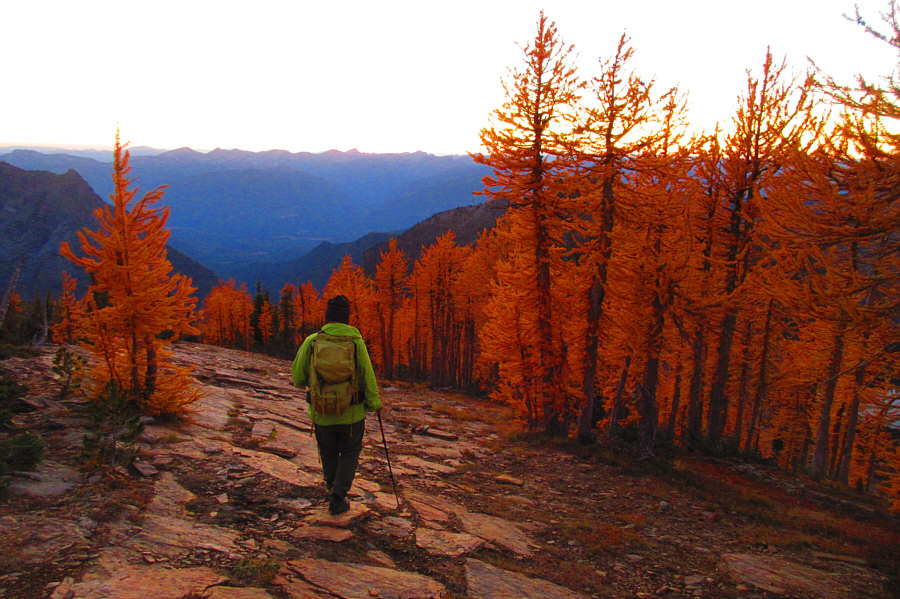 |
Sonny hikes past a stand of golden
larches on his way down. Photo courtesy of Zosia Zgolak |
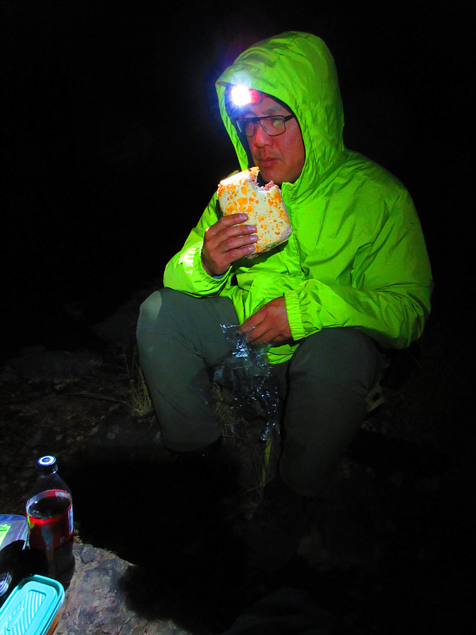 |
Back in camp, Sonny tries to choke
down a huge sandwich for dinner. Photo courtesy of Zosia Zgolak |
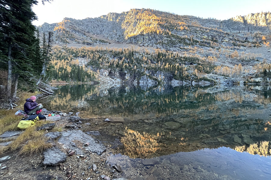 |
The next morning, Zosia eats breakfast beside Snowshoe Lake. |
 |
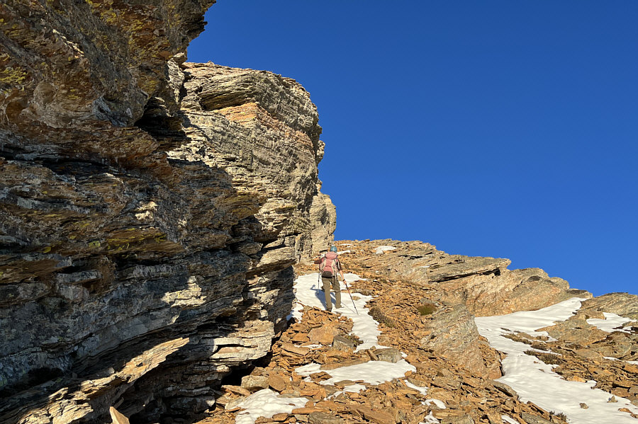
Zosia carefully descends a crack along a steep slab of rock on the headwall. |
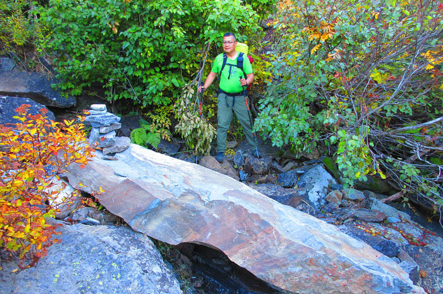 |
This is the cairn that Sonny missed
the day before
at the bottom of the headwall. Photo courtesy of Zosia Zgolak |
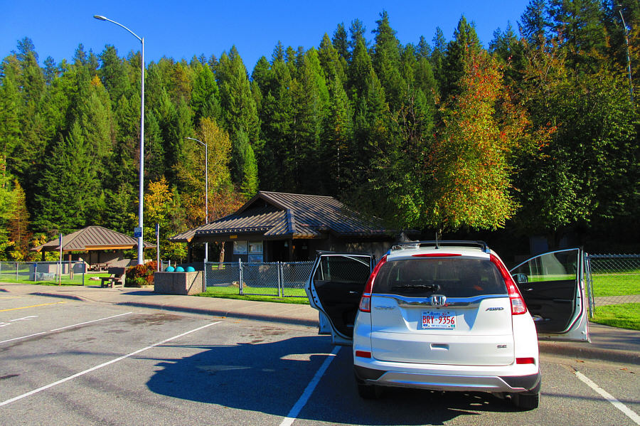 |
A highway rest area is a great place
to air out and re-organize camping gear. Photo courtesy of Zosia Zgolak |
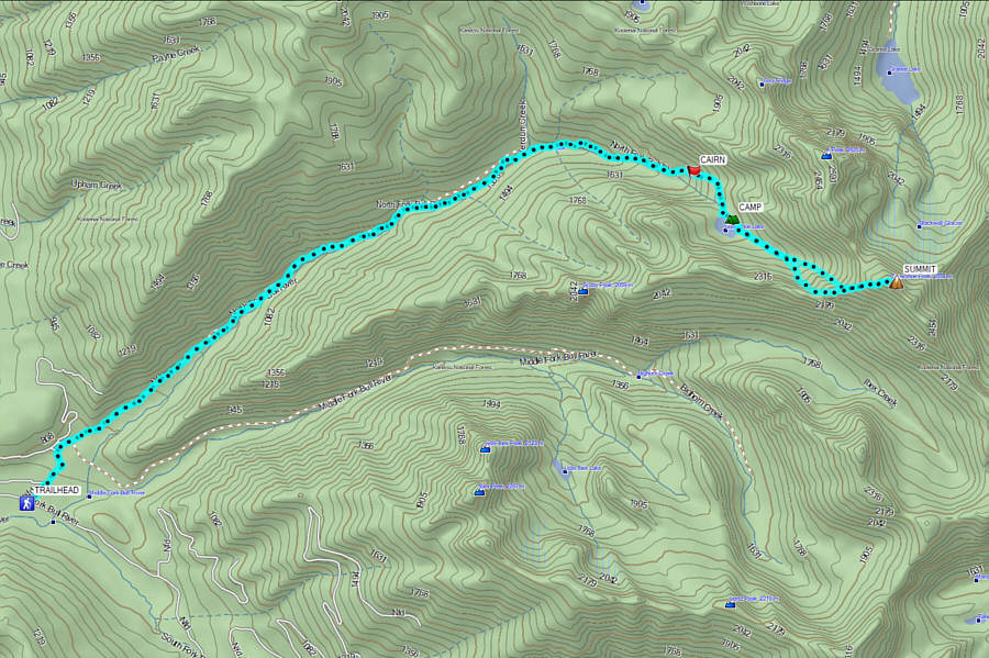 |
Total
Distance: 28.2 kilometres Round-Trip Time: 31 hours 14 minutes Cumulative Elevation Gain: 1907 metres |
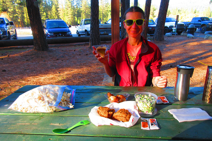 |
At J. Neils Memorial Park in Libby,
Montana, Zosia
prepares to eat a Thanksgiving dinner consisting of roasted and fried
chicken, broccoli salad, popcorn, and pumpkin pie. Photo courtesy of Zosia Zgolak |
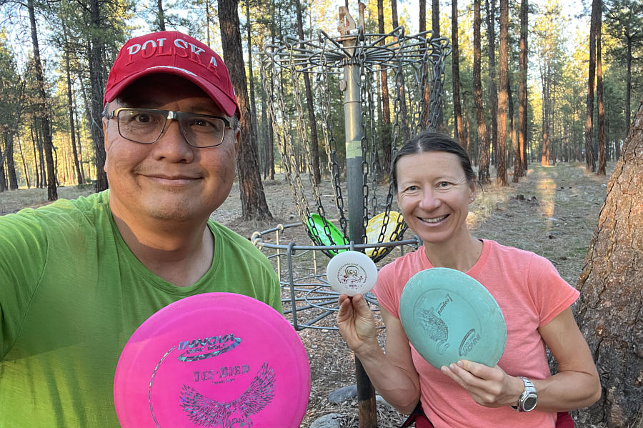 |
This is the second time that Sonny and Zosia have played the disc golf course at J. Neils Memorial Park. |
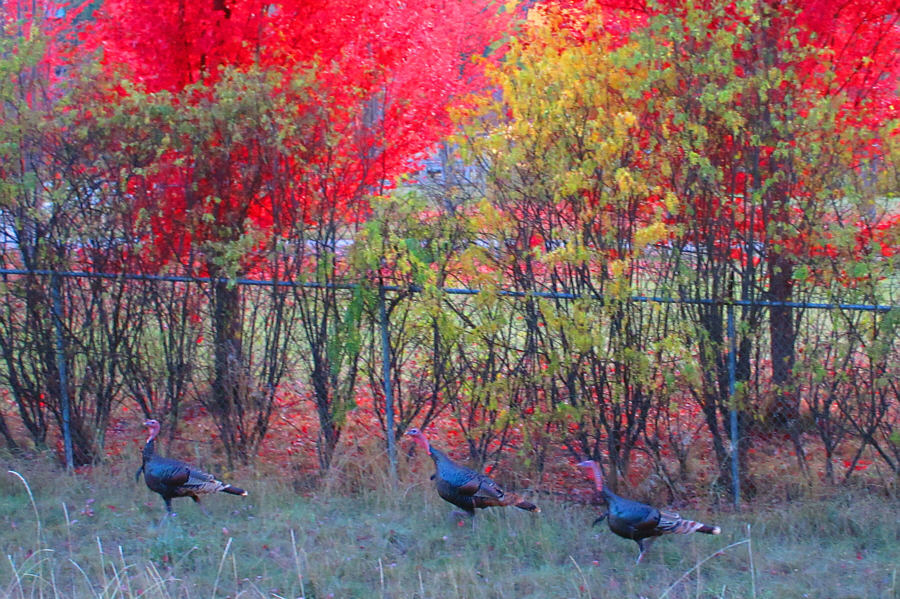 |
Three wild turkeys run for their lives alongside
Highway 37. Photo courtesy of Zosia Zgolak |
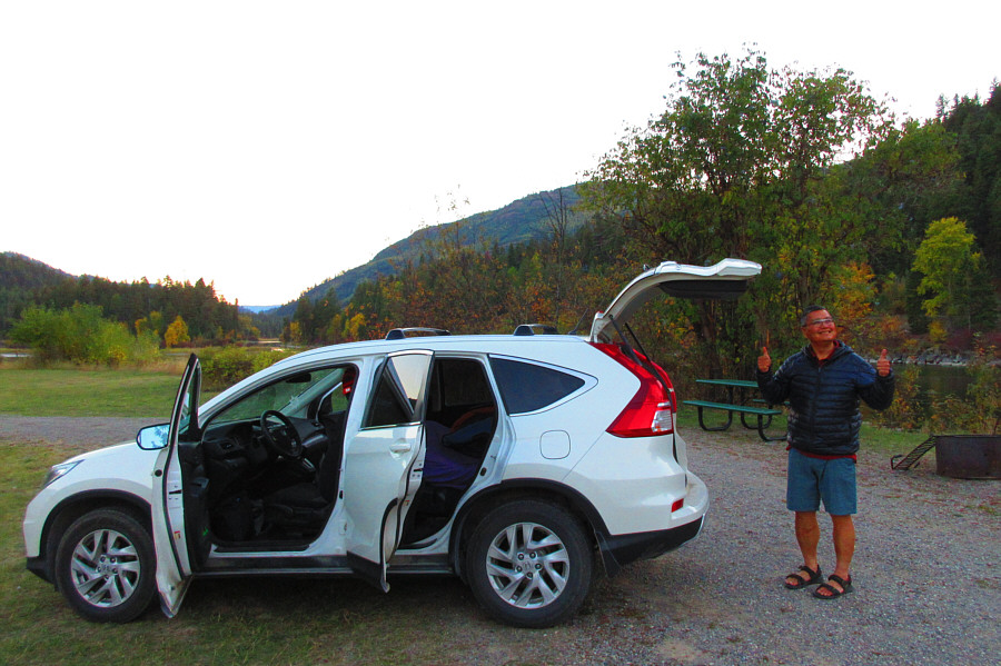 |
Sonny gives thumbs up to the free campsite at Dunn Creek Flats Recreation Area. Photo courtesy of Zosia Zgolak |