![]() |
Zosia gets ready at a parking lot in the village of Wołosate. Tarnica can be seen in the distance at right. |
![]() |
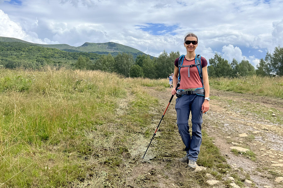
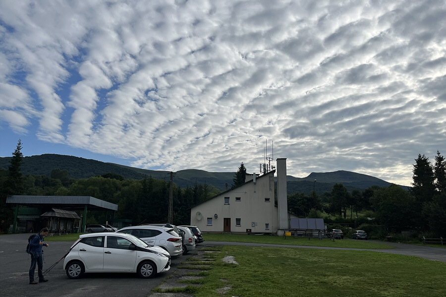
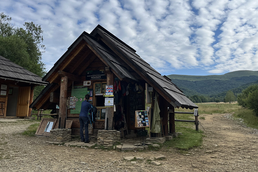
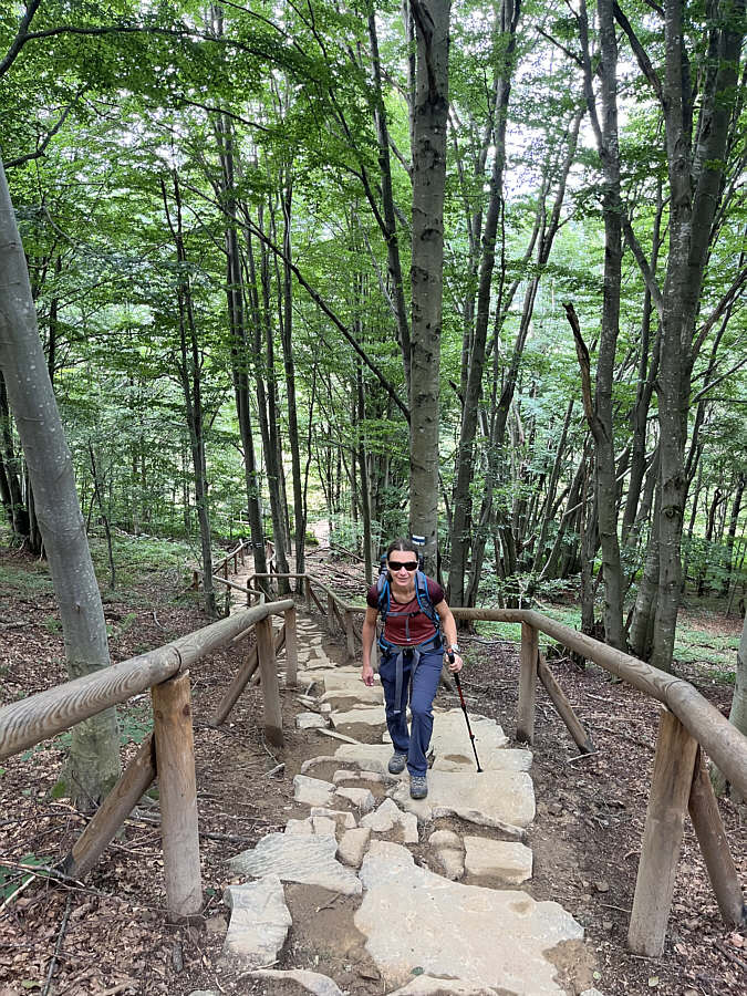
Zosia pays a park entrance fee in order to hike the trail up Tarnica. |
![]() |
As easy as these steps look, they are actually quite muddy and slippery. |
![]() |
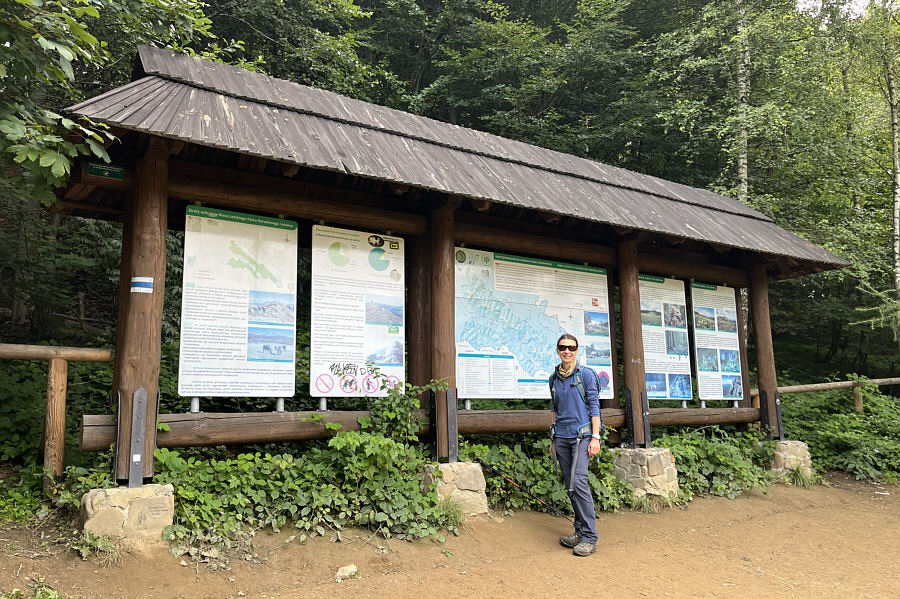
The sign at the park boundary is full of information. |
![]() |
Most of the trail is well-built and easy to follow. |
![]() |
Zosia arrives at an open shelter about halfway up the mountain. |
![]() |
As Zosia approaches tree line, almost all the ridges visible in the distance are located within Ukraine. |
![]() |
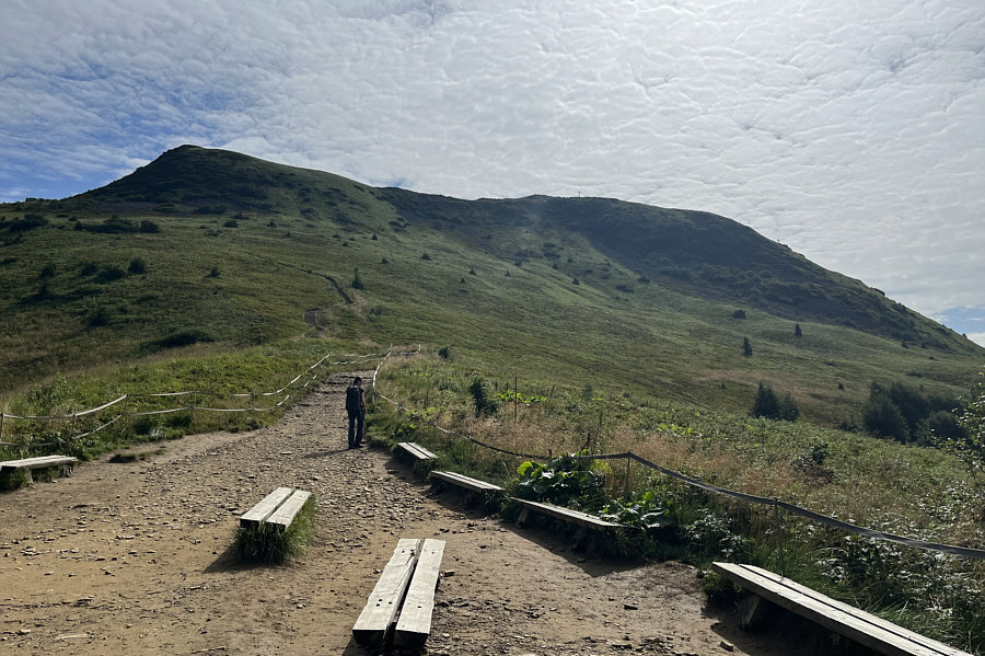
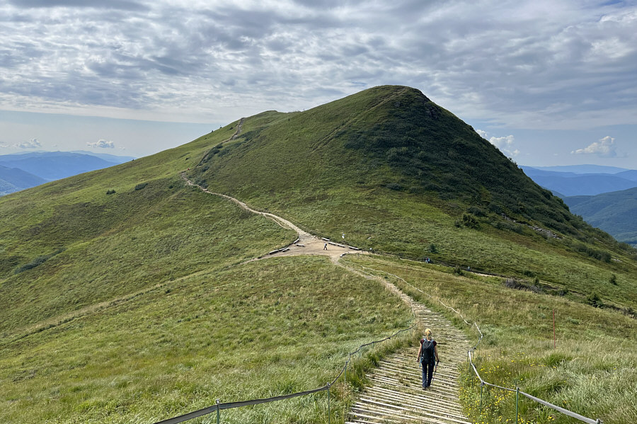
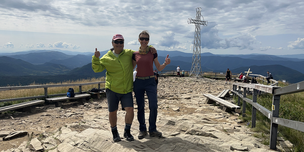
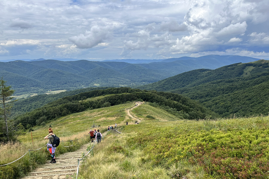
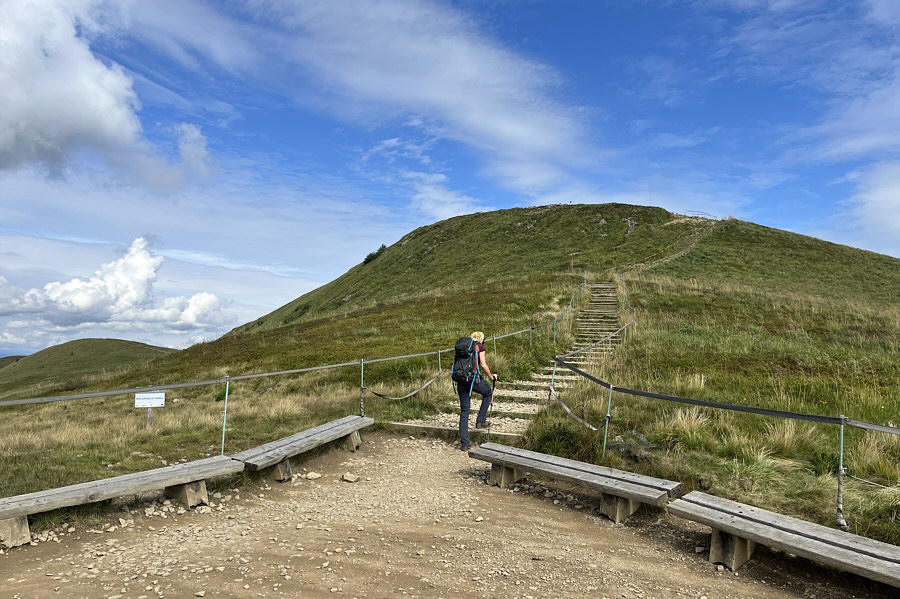
The summit of Tarnica is within sight of these benches at tree line. |
![]() |
Polish national parks go to great lengths to prohibit off-trail hiking by erecting railings and sanctioning fines. |
![]() |
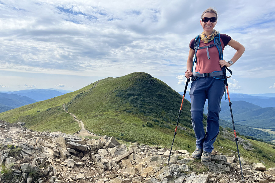
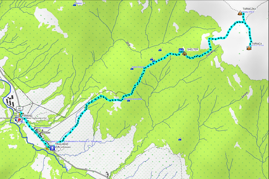
Zosia takes a short detour to a subsidiary peak called Tarniczka. |
![]() |
Zosia stands on the summit of Tarniczka (1320 metres) with Tarnica behind her. |
![]() |
Zosia heads back down to the saddle en route to Tarnica. |
Sonny and Zosia stand on the summit of Tarnica (1354 metres).
![]() |
Some hikers ascend Tarnica or do a loop via this broad ridge to the northwest. The ridge even has a name--Szeroki Wierch. |
![]() |
More hikers begin to appear as Zosia descends the same trail. |
![]() |
Here is a last look back at Tarnica from near the trailhead. |
![]() |
Due to the close proximity to Ukraine,
Polish border guards maintain a strong presence in the area
surrounding Tarnica. Photo courtesy of Zosia Zgolak |
![]() |
Total
Distance: 10.7 kilometres Round-Trip Time: 4 hours 47 minutes Cumulative Elevation Gain: 617 metres |