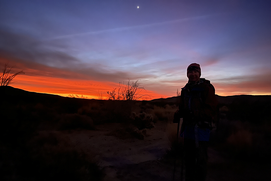
Zosia gets off to a pre-dawn start.
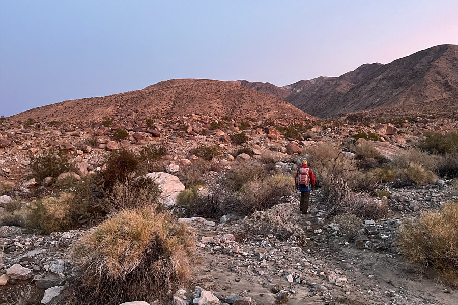
A good trail crosses the desert flats and leads to the start of the ridge straight ahead.
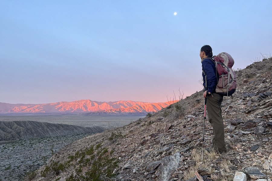
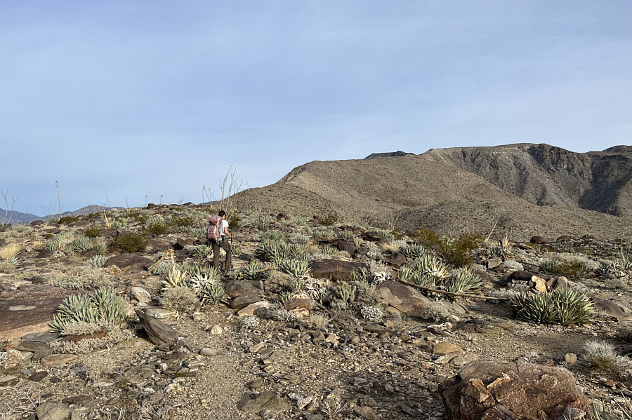
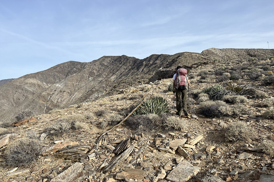
After an initial steep section, the ridge flattens out for a lengthy stretch.
 |
Zosia gets off to a pre-dawn start. |
 |
A good trail crosses the desert flats and leads to the start of the ridge straight ahead. |
 |
Zosia pauses near the start of the ridge to admire the morning sunlight illuminating San Ysidro Mountain in the distance. |
 |
After an initial steep section, the ridge flattens out for a lengthy stretch. |
 |
Zosia gets her first clear look at the summit of Villager Peak which is the last bump on the left. |
 |
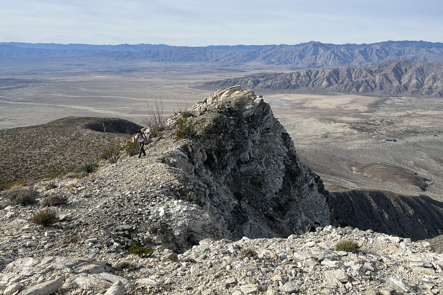
Zosia passes some precipitous cliffs along the ridge. |
 |
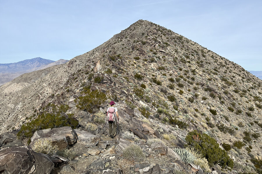
Although the ridge ahead looks innocuous, it is actually more tedious to hike than it appears. |
 |
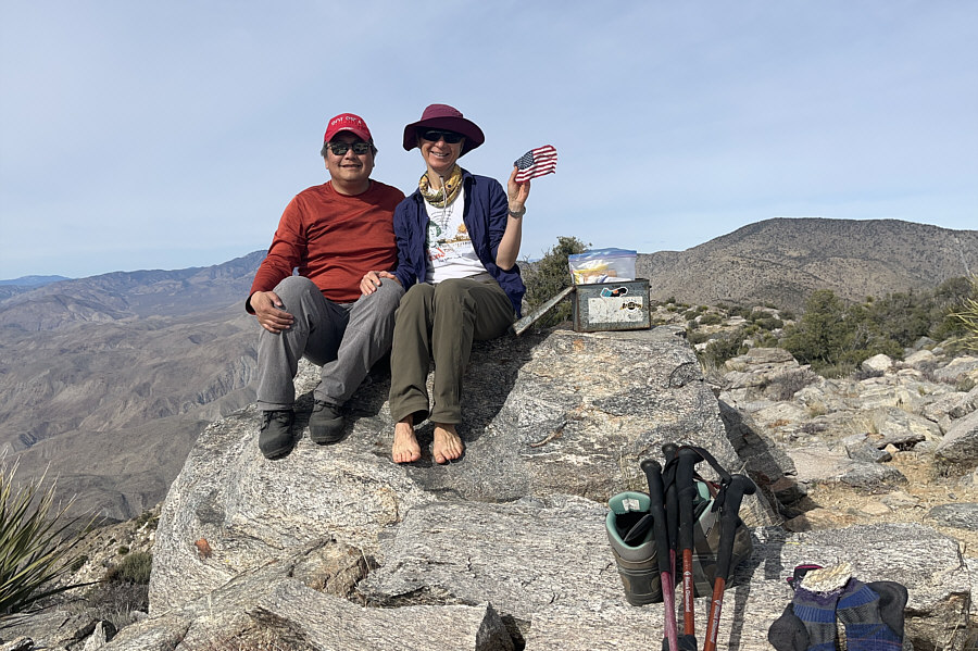
Sonny and Zosia sit on the summit of Villager Peak (1754 metres). |
Darkness fell as Zosia and I made our way back across the connecting ridge to Villager Peak. We eventually had to break out our headlamps, and as it became harder to discern features on the ridge, I began to increasingly rely on my phone's GPS application to keep us on track. Climbing back over Villager Peak was probably the most daunting challenge of the trip since we were mostly climbing uphill, off-trail, and in the dark. Given our physical exhaustion, our progress was understandably slow, but psychologically, it was uplifting to know that every step we took got us closer to salvation in the form of our waiting car at the trailhead. Arriving back at the summit of Villager Peak felt like a minor victory as we knew that most of the significant uphill sections were behind us. Navigating the upper sections of the south ridge was still tricky in some places, but again, my phone’s GPS application proved to be invaluable in the dark. Even when we finally regained the good trail at the lower flattened part of the ridge, we still managed to go astray a few times. Fortunately, these minor route-finding errors were inconsequential, and we inevitably made it back down to the desert flats very tired but safe. Another half hour of easy walking had us back at the trailhead where we promptly rehydrated, brushed our teeth, and went straight to bed in our car to end a very long and tiring day.
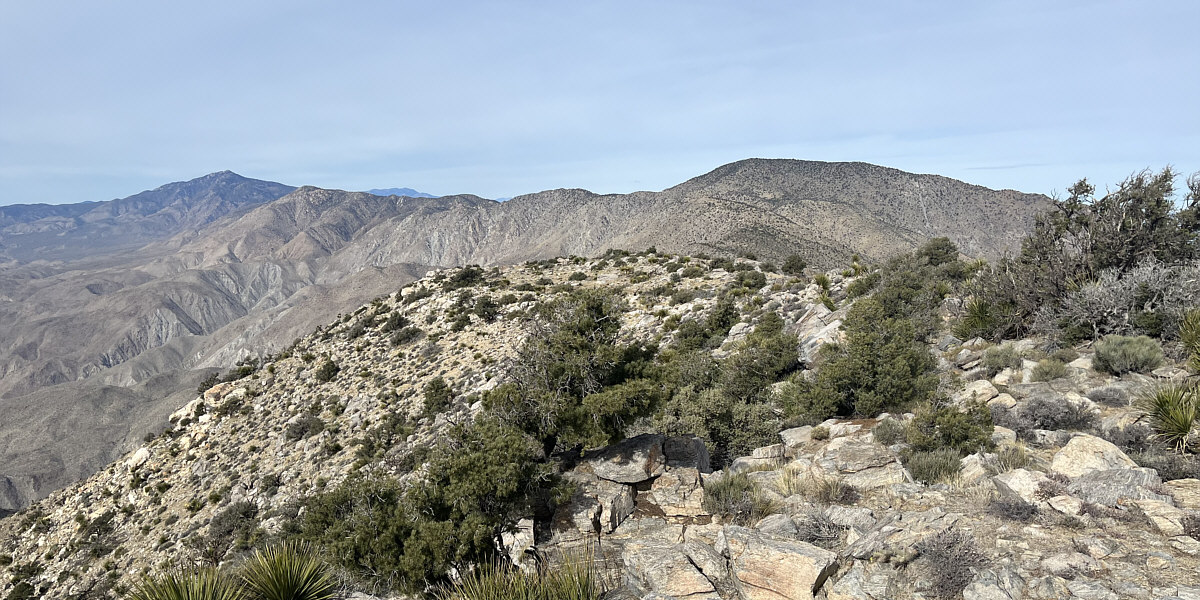
Visible to the northwest are Toro Peak (far left), San Jacinto Peak (distant left barely peeking above the intervening ridge), and Rabbit Peak (right).
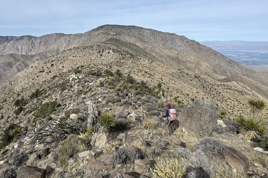 |
The connecting ridge to Rabbit Peak is longer and more complicated than it looks. |
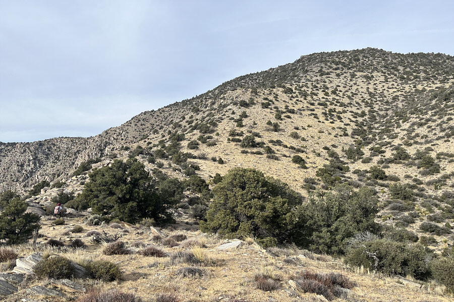 |
Zosia faces the final steep climb before the top of Rabbit Peak. |
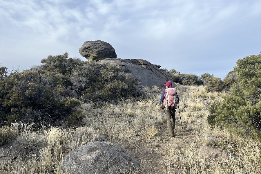 |
More than nine hours after starting out, Zosia finally approaches the summit of Rabbit Peak. |
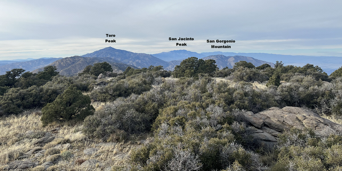
Here is the view to the northwest from the summit of Rabbit Peak.
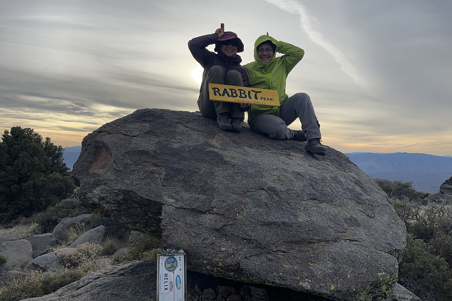 |
Zosia and Sonny show off their "ears" on the summit of Rabbit Peak (2027 metres). |
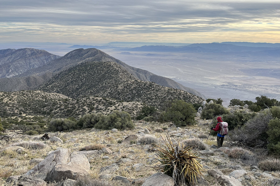 |
Zosia descends Rabbit Peak and faces a long and strenuous hike back to Villager Peak (left). |
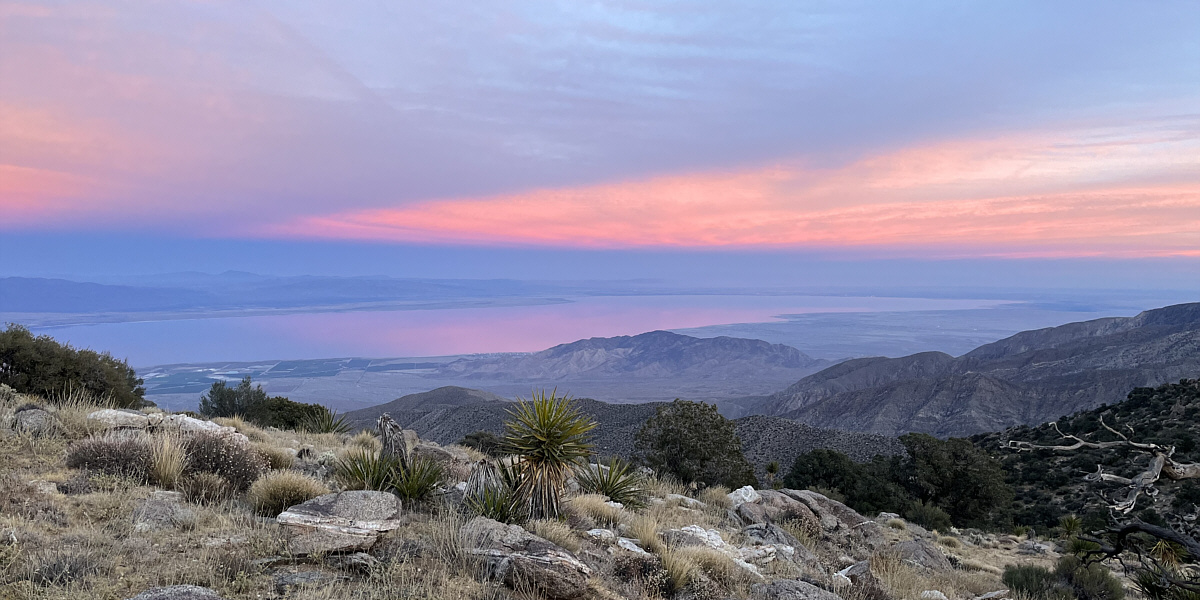
Ironically, the most comprehensive view of Salton Sea is not from either summit but from one of the bumps along the connecting ridge.
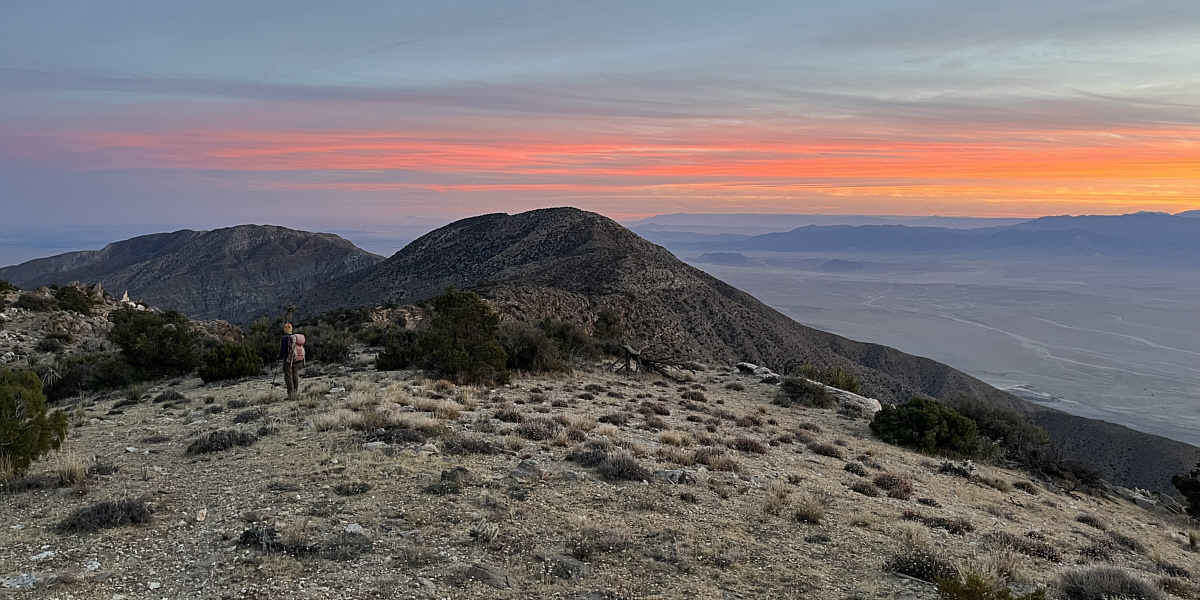
Despite the long trek still ahead of her, Zosia pauses to enjoy the beautiful desert scenery in waning daylight.
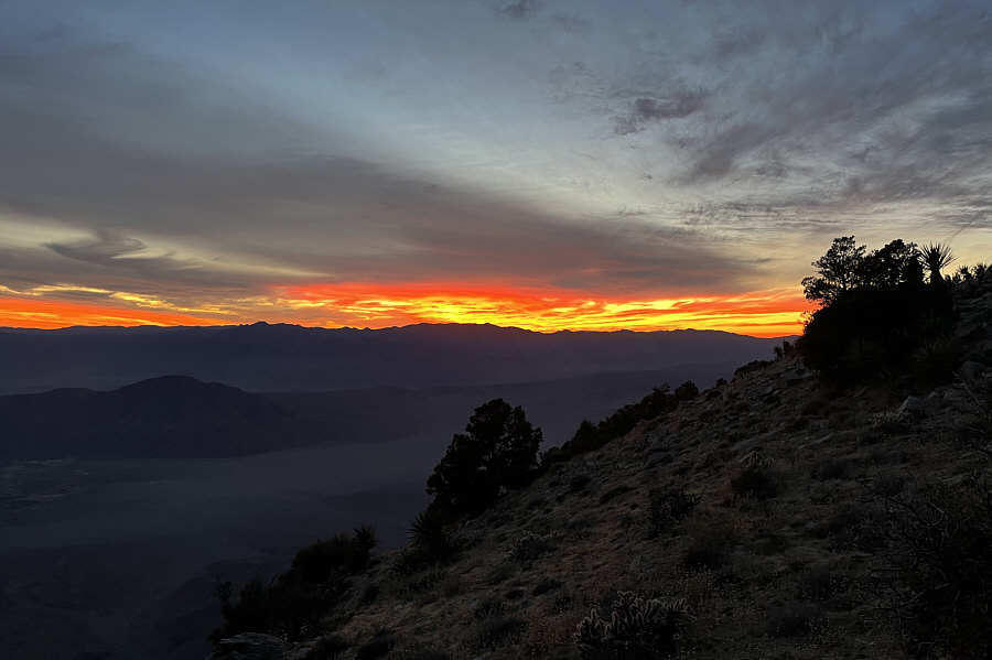 |
The sun has just disappeared over the western horizon. |
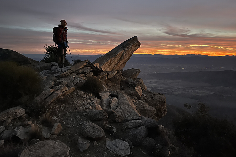 |
A final faint burst of light illuminates this rock beside Zosia. |
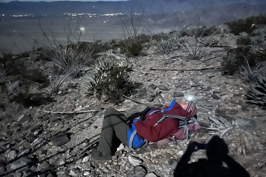 |
Zosia takes a catnap beside the trail during a rest stop. |
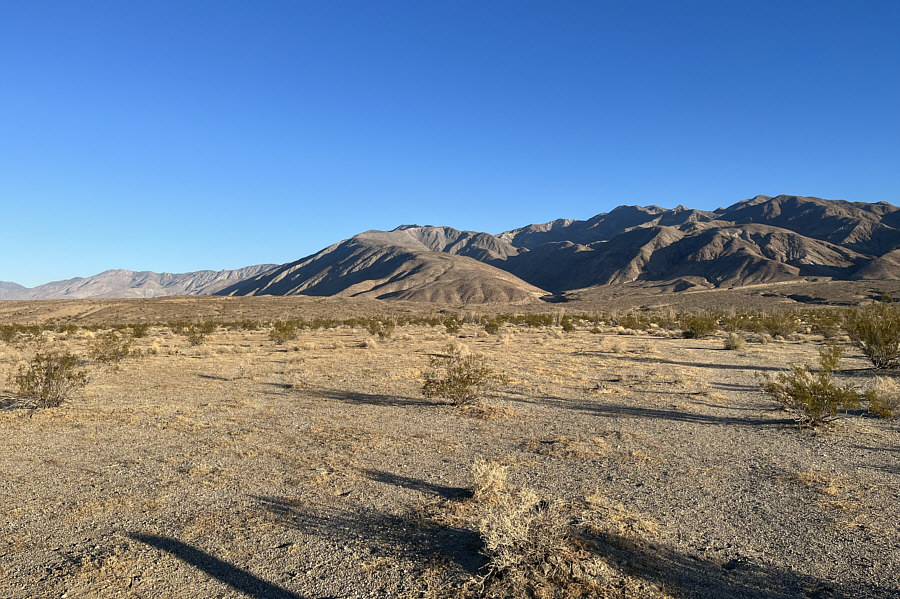 |
This is the view from the trailhead of Villager Peak's south ridge (centre) on the following morning. |
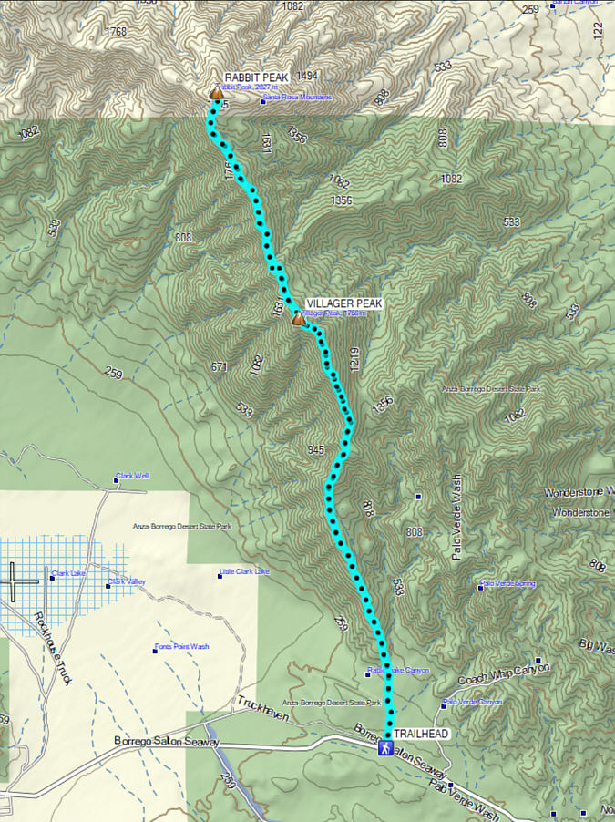 |
Total
Distance: 35.0 kilometres Total Time: 18 hours 15 minutes Cumulative Elevation Gain: ~2288 metres |