BOU AVENUE
Abercrombie Mountain

On 7 August 2024, Zosia Zgolak and I hiked up Abercrombie Mountain located in the relatively remote northeast corner of Washington state.  The summit is the site of a former fire lookout and can easily be accessed by good trails from both the east and west.  I had originally planned on ascending from the east, but a recent online report of logging activity causing access issues there prompted me to switch to the western approach as described by the Washington Trails Association.

From Northport-Waneta Road, turn east onto Deep Lake Boundary Road about 16.0 kilometres northeast of the junction with Highway 25 in Northport, Washington or 1.0 kilometre southwest of the US port of entry at the Canadian border.  Drive 14.0 kilometres and turn left onto Silver Creek Road.  Drive 900 metres and keep left.  Drive another 2.1 kilometres and turn left onto National Forest Development Road (NFDR) 7078.  Drive 7.0 kilometres and turn right onto NFDR 300.  Drive 5.5 kilometres to road's end at the signed trailhead (48.92996, -117.48482; no facilities).  The entire drive is suitable for 2WD vehicles although high clearance helps in a few rough spots here and there.

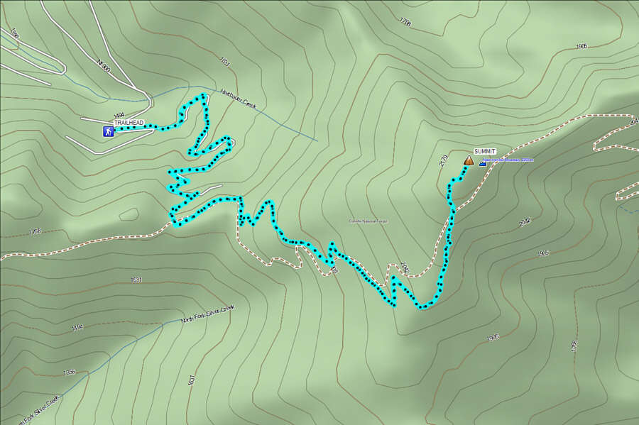
After arriving the previous evening and camping at the trailhead, Zosia and I got off to a pre-dawn start without having to use our headlamps.  The trail climbs up a series of switchbacks for the first couple of kilometres before reaching a T-junction with North Fork Silver Creek Trail.  Turning left (east) here, we enjoyed a brief flat section of trail before commencing a long and gradual ascent up the southwestern slopes of Abercrombie Mountain.  As we climbed higher, the forest began to thin out, but unfortunately, haze from wildfires obscured much of our distant views.  Still the hiking was enjoyable in the comfortably cool morning air, and we encountered no difficulties whatsoever as we finished the ascent on the broad south ridge.

Zosia and I enjoyed a nice break on the summit amidst the ruins of the former fire lookout before retracing our steps down the mountain.  Aside from a brief but amusing encounter with some grouse, our descent was uneventful, and the subsequent drive back to the highway also went without a hitch.
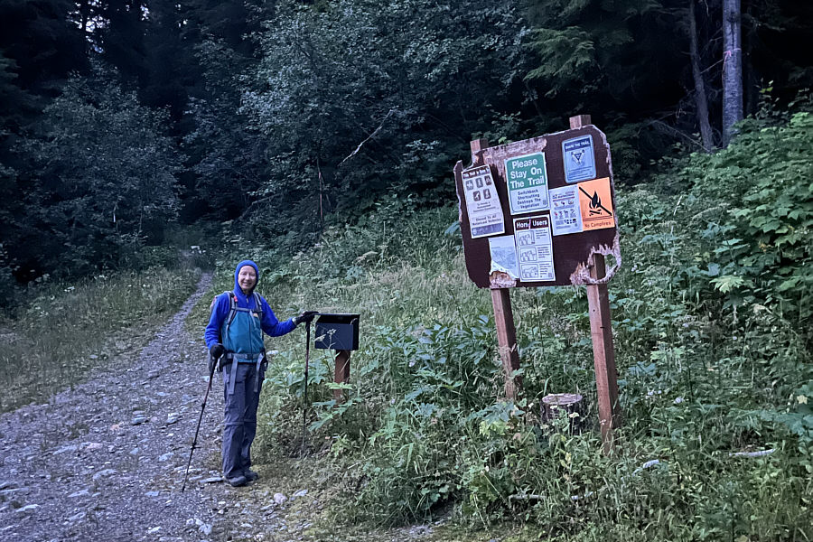
At least there are no bullet holes! The sign board at the trailhead has seen better days but is still standing.
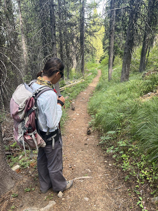
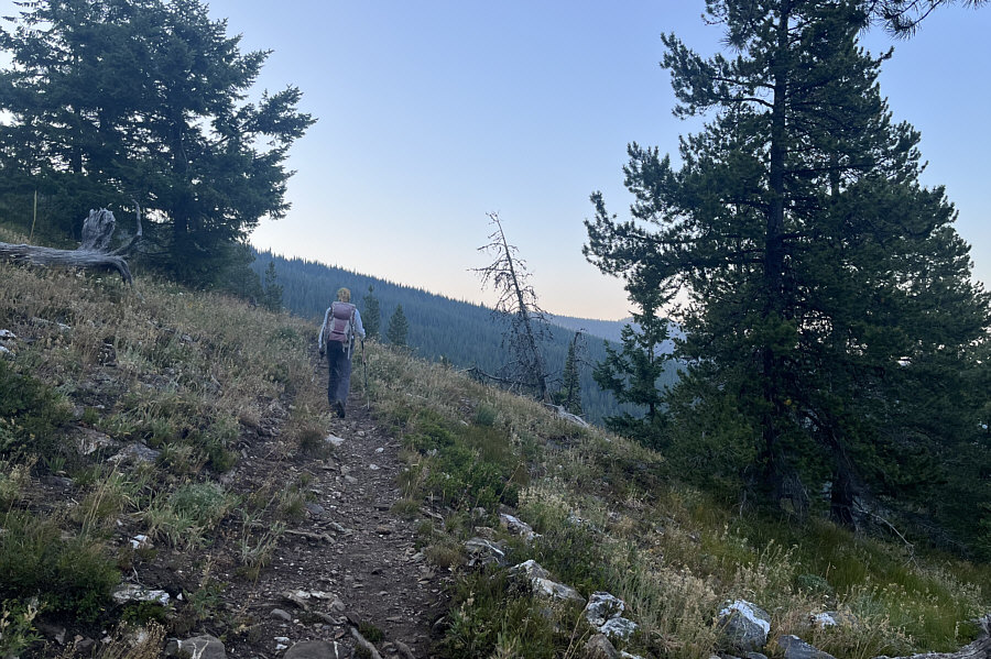
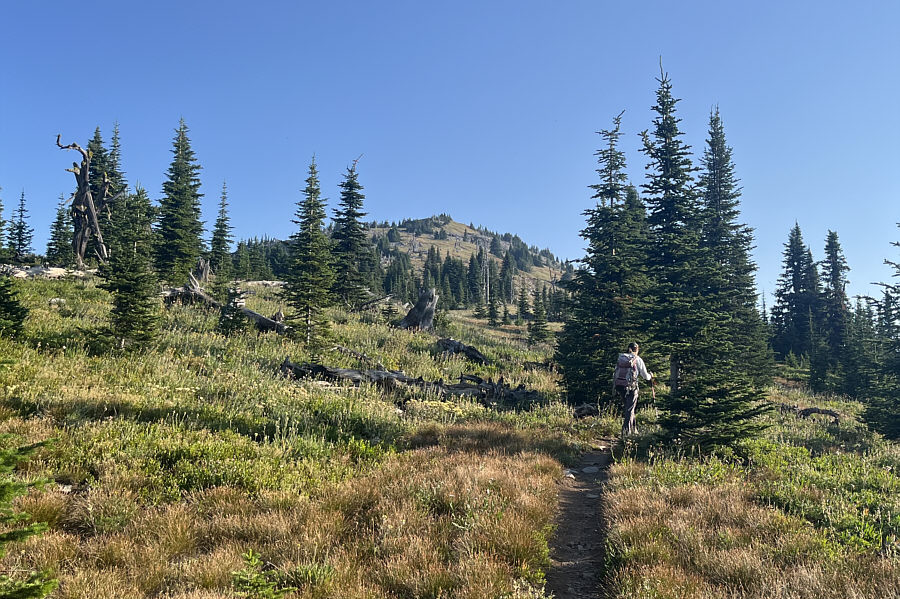
Perfect temperature for hiking this morning without the blazing sun! After a lengthy climb with little to see, Zosia is finally granted some views as the forest begins to thin out on the southwest slopes of Abercrombie Mountain.
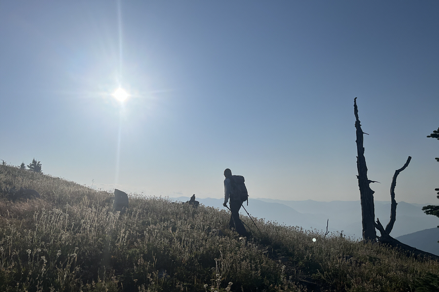
Feels warm already... Zosia finally enters the sunny side of the mountain as she reaches the south ridge.
Saw lots of dark-eyed juncos here!

The final section of trail goes up the broad south ridge.
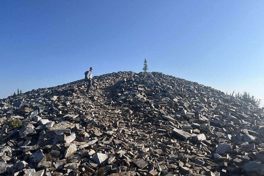
Strange that it's only really like this at the top of the mountain... The top of Abercrombie Mountain is seemingly just a big pile of rocks.
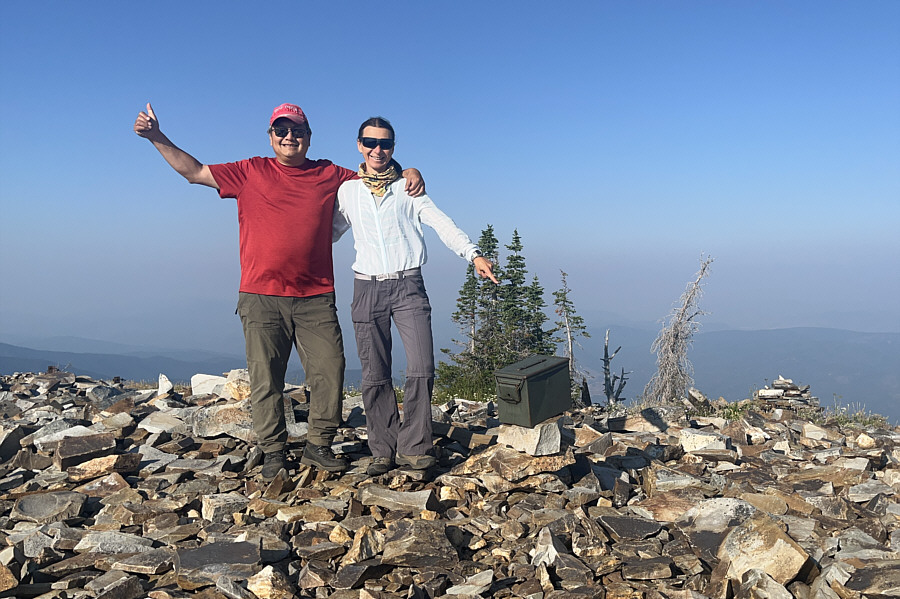
Prominence of 5168 feet! Sonny and Zosia stand on the summit of Abercrombie Mountain (2233 metres).
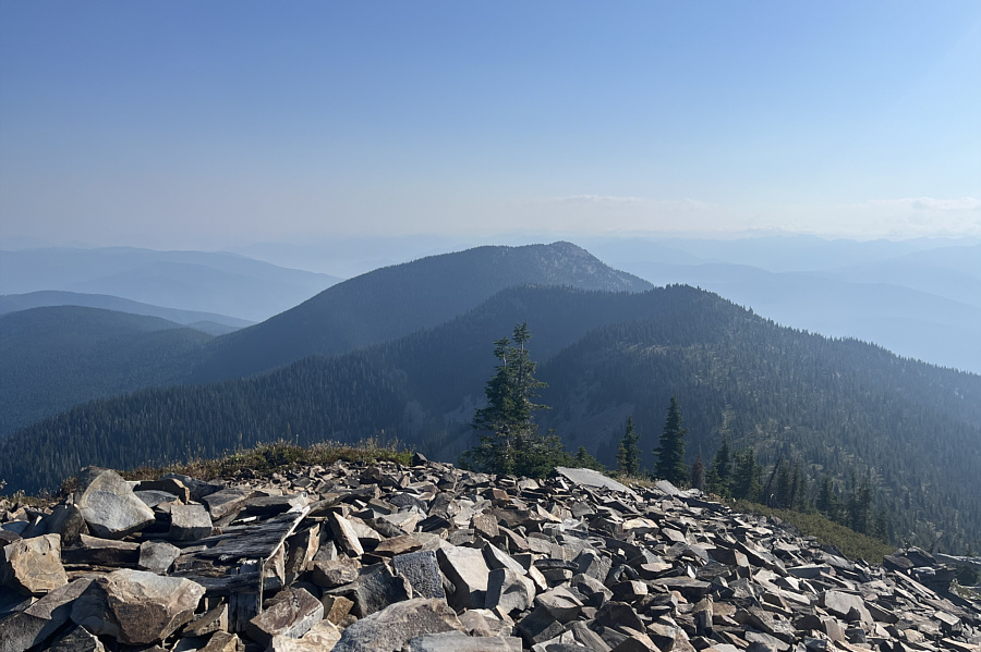
Probably few people bother to ascend Hooknose which looks unappealing anyway from this vantage point. Located about three kilometres to the northeast is Hooknose Mountain which is essentially an outlier of Abercrombie Mountain.

Mostly forested mountains here...how boring!

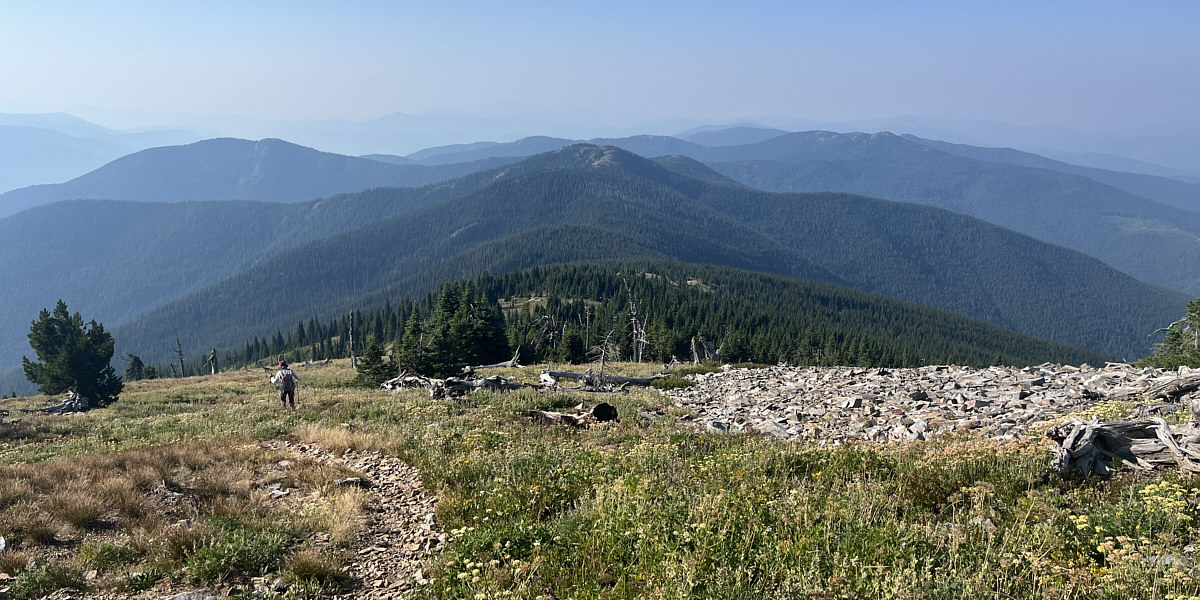
Zosia retraces her steps down the south ridge.  At left is Linton Mountain while further in the distance at right is Sherlock Peak.
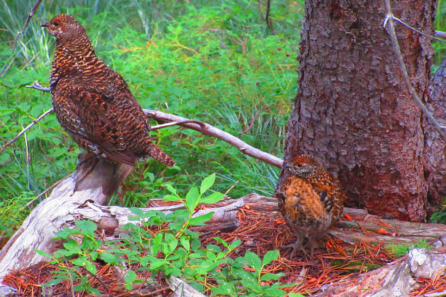
 

Abercrombie Mountain is for the birds! A grouse hen and her chick appear startled beside the trail.

Photo courtesy of Zosia Zgolak

Okay, we'll follow you until you start bushwhacking! The grouse appear to be leading Zosia down the trail.
One of the easiest P5000 peaks to bag! Total Distance:  ~12.4 kilometres
Round-Trip Time:  5 hours 47 minutes
Cumulative Elevation Gain:  ~700 metres

GPX Data