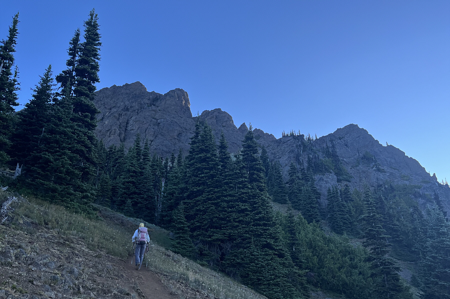
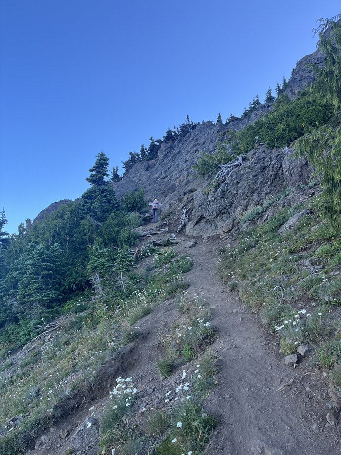
Taking a spur trail, Zosia climbs steeply toward the base of rugged cliffs guarding the top of Mount Angeles.
|
|
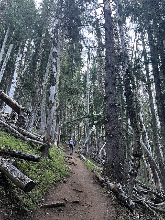
True to the trailhead's name, the trail rises via a series of switchbacks and gains about 200 metres of elevation over the first kilometre. |
|
|
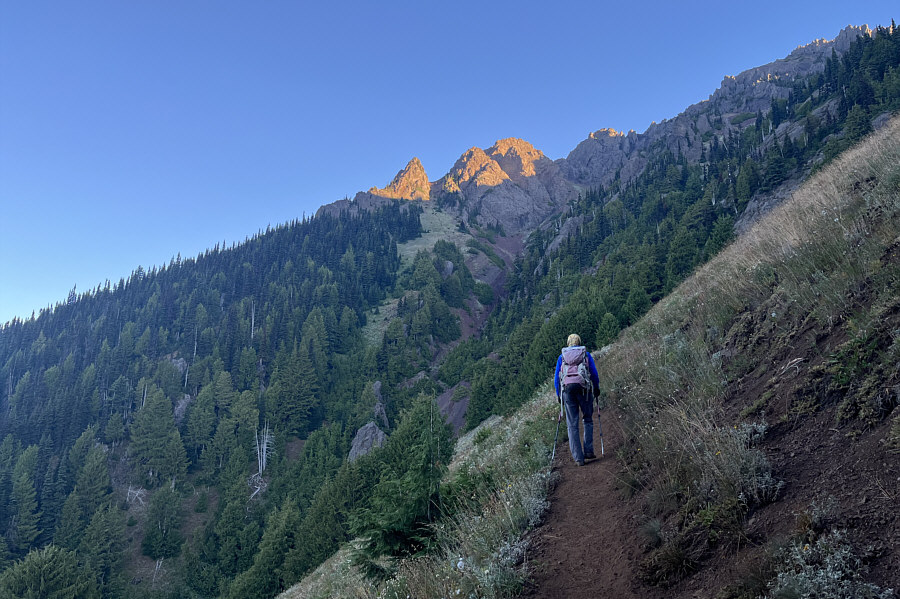
Sunlight hits the top of Mount Angeles as Zosia traverses across a steep open slope. |
|
|
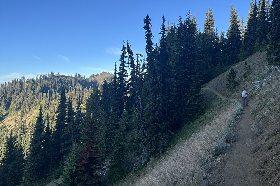
Zosia continues to traverse across the steep south-facing slopes of Mount Angeles. Visible at left is the connecting ridge that leads to the Hurricane Ridge Visitor Center (currently under rehabilitation). |
|
|
Taking a spur trail, Zosia climbs steeply toward the base of rugged cliffs guarding the top of Mount Angeles. |
|
|
Zosia arrives at the base of the rugged cliffs. |
|
|
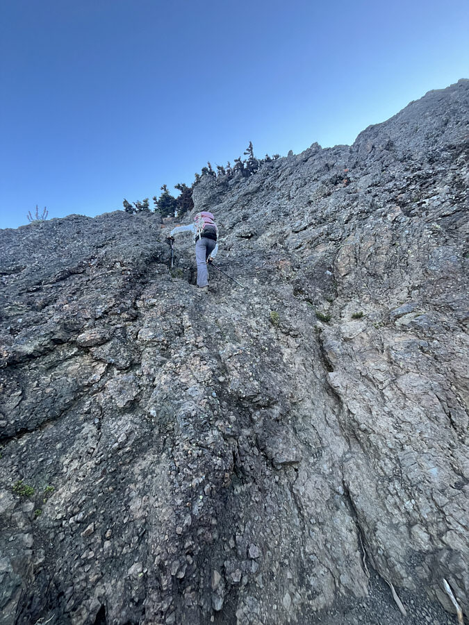
Zosia follows the easiest route through the initial lower section of the cliffs. |
|
|
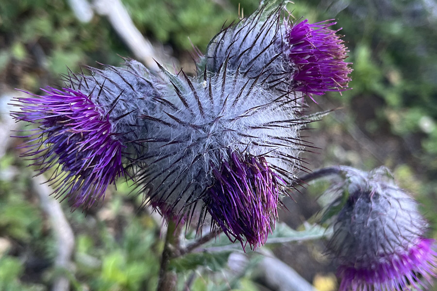
Thistles add some colour along the ascent route. |
|
|
The route goes up the very steep chute at left which is full of loose rocks. |
|
|
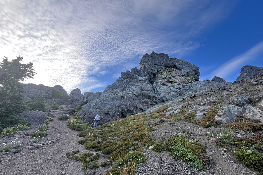
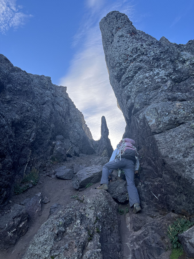
Zosia climbs through a rocky gap toward a striking pinnacle. |
|
|
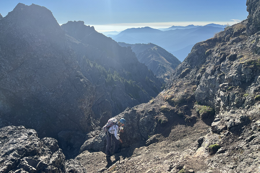
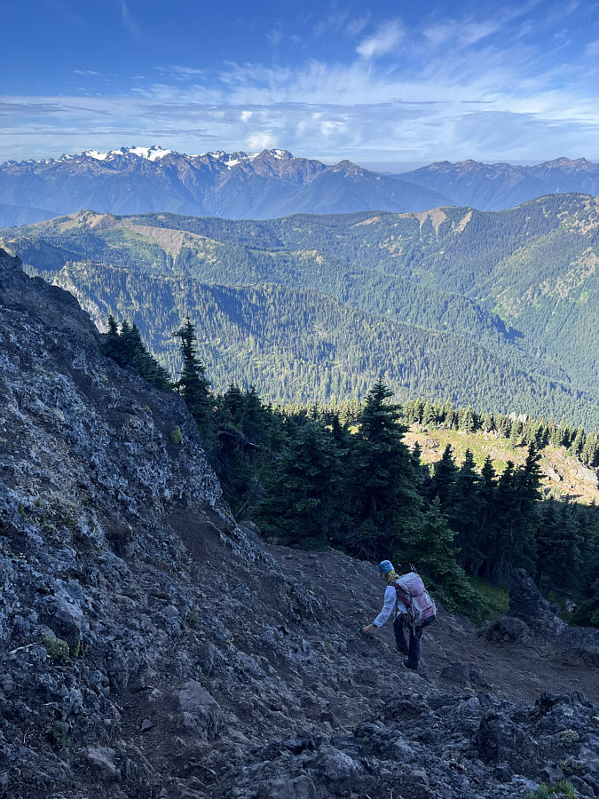
Zosia scrambles up the last few metres before the top. In the background at left is the lower east peak of Mount Angeles. |
|
|
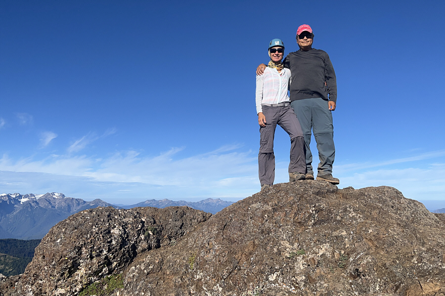
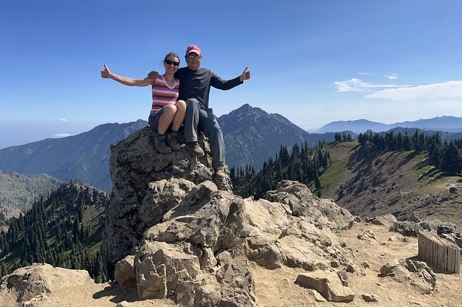
Zosia and Sonny stand on the summit of Mount Angeles (1974 metres). |
|
|
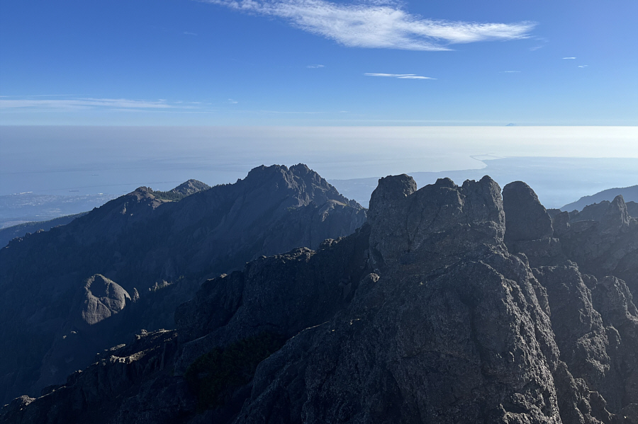
The Strait of Juan de Fuca blends in with some cloud cover to the northeast. Part of Port Angeles can be seen at far left while Dungeness Spit is clearly visible at right. Poking above the cloud cover on the horizon beyond Dungeness Spit is Mount Baker. |
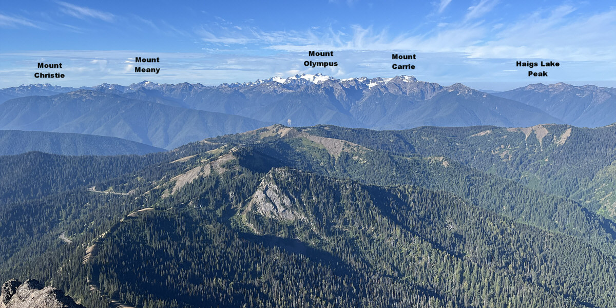
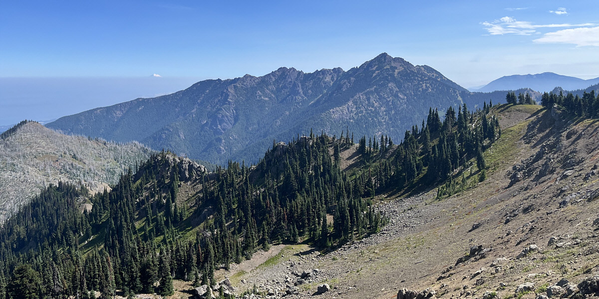
The view to the southwest includes the main bulk of Hurricane Ridge in the foreground.
 |
This is looking west from the summit of Mount Angeles. Hurricane Hill is at left. |
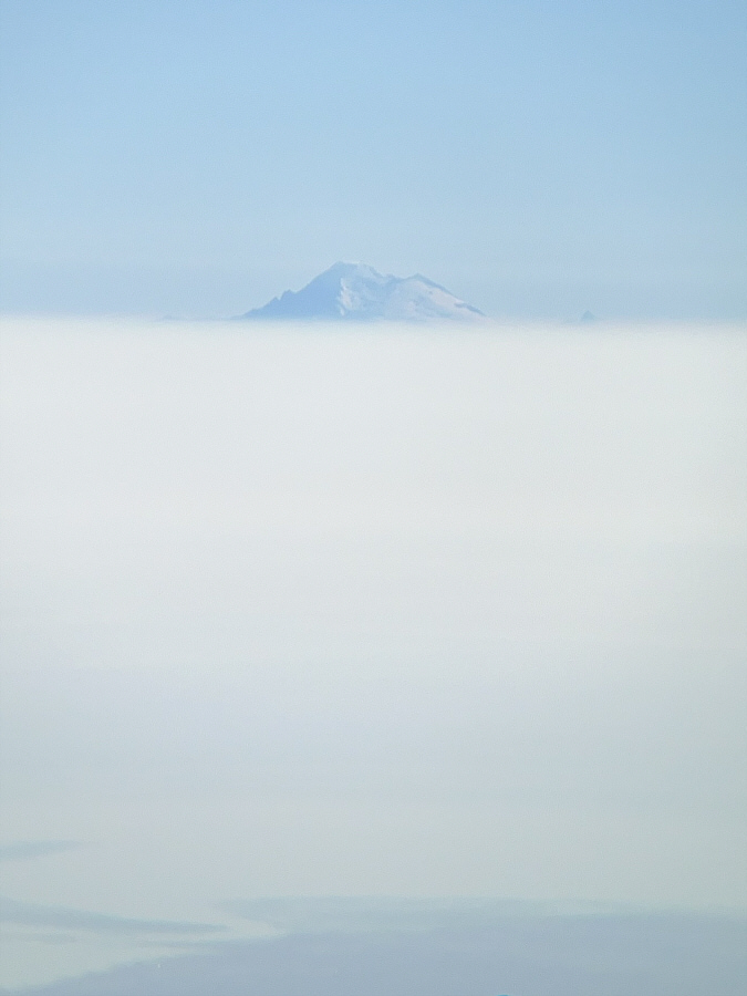 |
Here is a zoomed-in view of Mount Baker above the cloud cover. |
 |
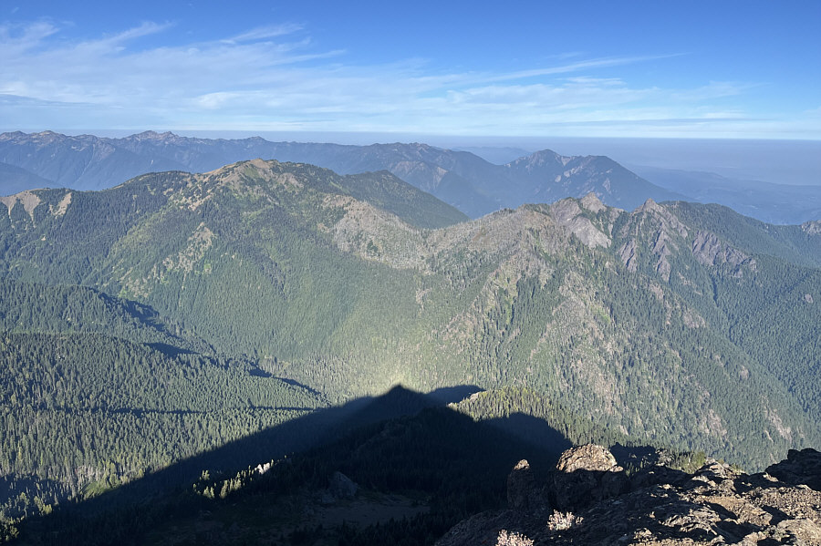
Zosia carefully retraces her steps down the mountain. |
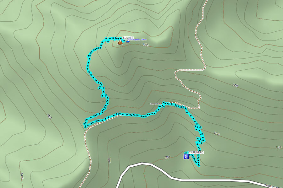 |
Total Distance: 6.6 kilometres Round-Trip Time: 3 hours 51 minutes Cumulative Elevation Gain: 554 metres |
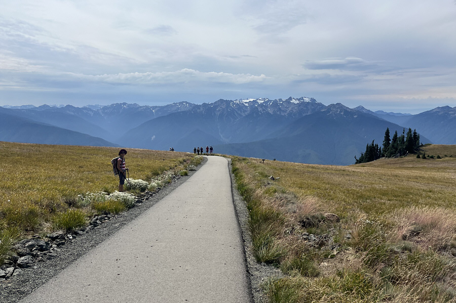
Compared to the hassles of finding parking, the actual hike to Hurricane Hill is almost anticlimactic. This is, without a doubt, the busiest trail on the Olympic Peninsula if not the entire state of Washington, and it is easy to understand why. Access to the trailhead is along a paved highway, the starting point is high ensuring a short ascent with great views throughout, and the trail is also paved all the way to the top which makes it ideal to walk in simple running shoes or even sandals. Of course, the hordes of people made it feel like we were walking in a busy municipal park instead of an alpine wilderness, but that probably appeals to those who are attracted to festivals or who wish to avoid bear encounters. In any case, there was nothing remarkable about our ascent of Hurricane Hill. Zosia and I were merely two over-equipped hikers among a steady stream of people ascending and descending the 2.5-kilometre long trail. Even the panoramic views from the top seemed muted since we had already seen much of the same from the summit of Mount Angeles.
When we completed our hike to Hurricane Hill, Zosia and I drove back to the Visitor Center parking lot and stopped for an extended break there before finally exiting the park.
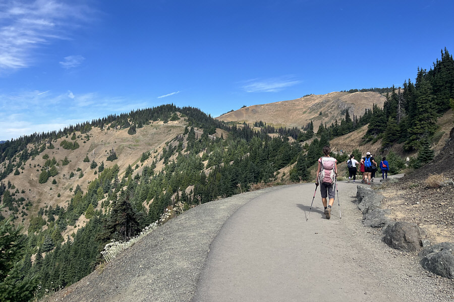 |
A paved pathway runs all the way up Hurricane Hill. |
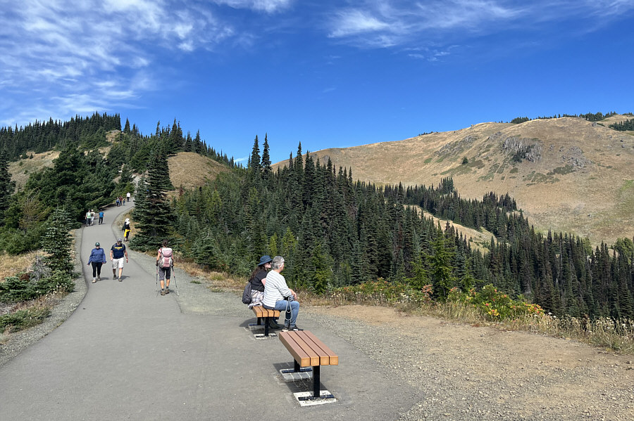 |
Convenient benches offer hikers a chance to rest their sore feet while climbing Hurricane Hill. |
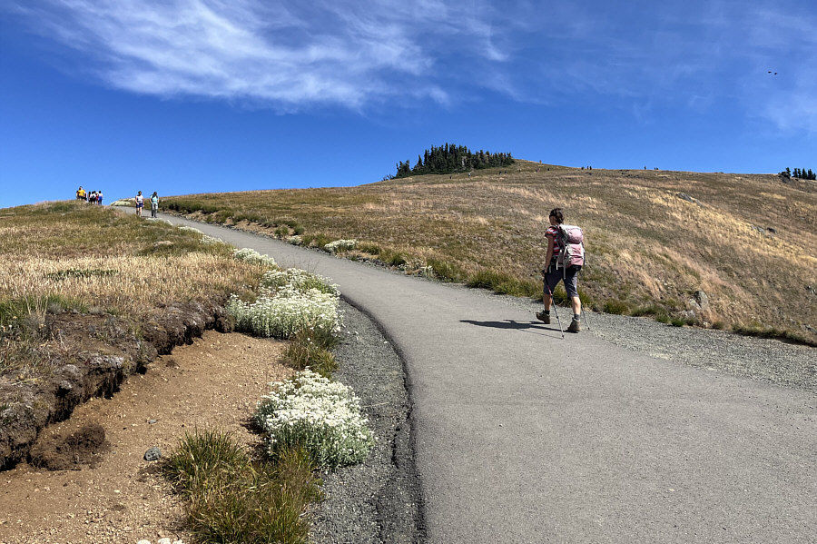 |
Zosia marches up the final few switchbacks before the top (centre). |
 |
Zosia and Sonny sit on a rock outcrop near the high point of Hurricane Hill (1760 metres). |
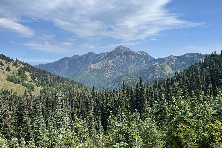
Here is an unobstructed view of Mount Angeles to the east from the top of Hurricane Hill. Shiny white Mount Baker is also visible on the left horizon.
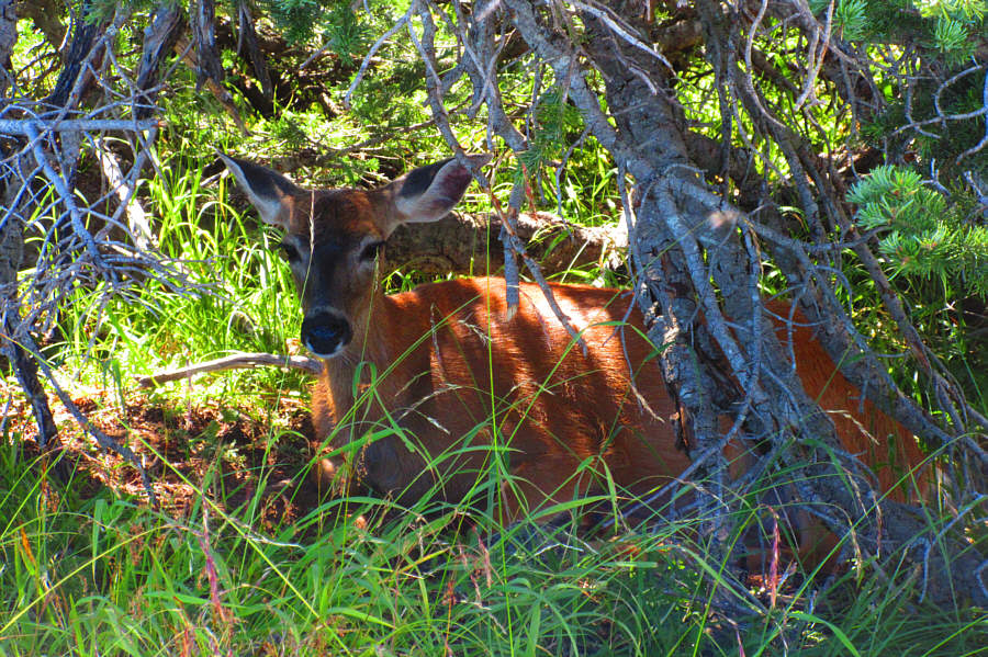 |
The deer on Hurricane Hill like to
hide in the shade of the trees in the vicinity. Photo courtesy of Zosia Zgolak |
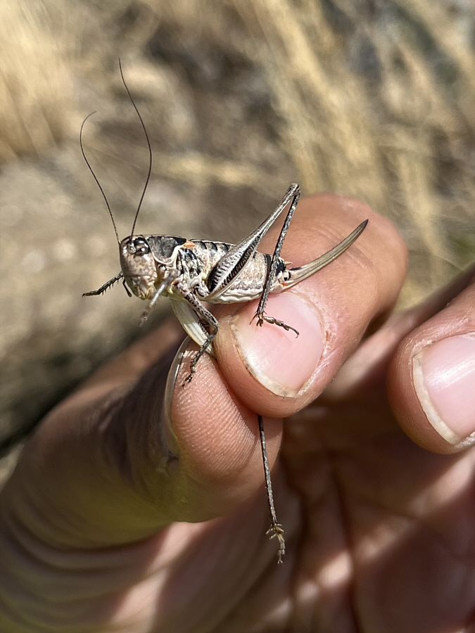 |
On this day, grasshoppers are found in abundance virtually everywhere on Hurricane Hill. |
 |
Cloud cover increases as Zosia heads back to the trailhead later in the day. |
 |
Here is one last look at Mount Angeles from Hurricane Ridge. |
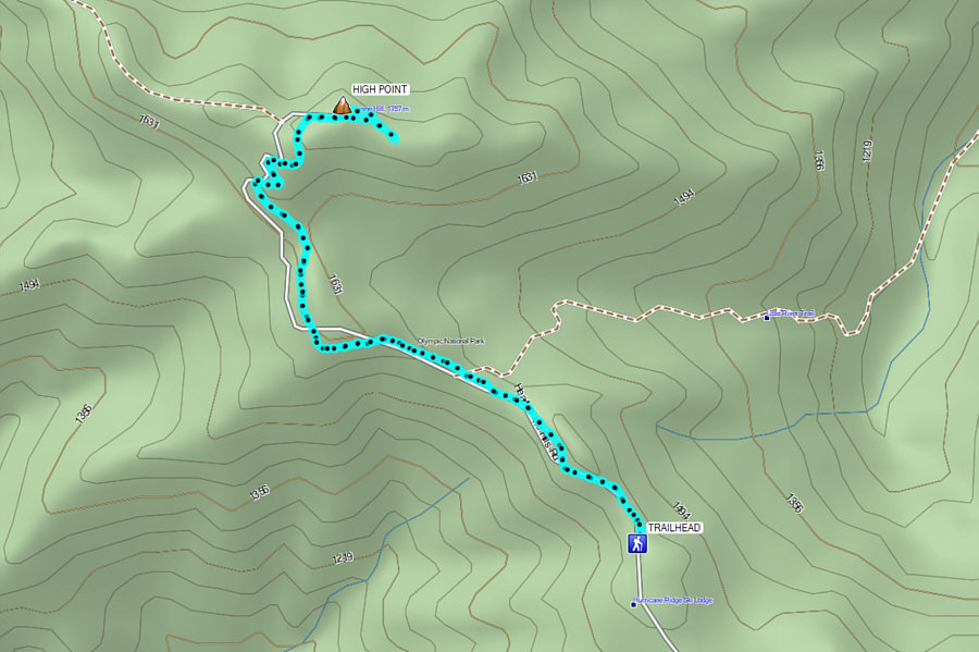 |
Total Distance: 5.5 kilometres Round-Trip Time: 2 hours 34 minutes Cumulative Elevation Gain: 195 metres |