BOU AVENUE
Black Knight Mountain

On 29 June 2024, Zosia Zgolak and I ascended Black Knight Mountain located on the eastern outskirts of Kelowna, British Columbia.  According to numerous online trip reports, there are at least three different approaches for Black Knight Mountain.  A maintained service road runs all the way to the top from the southern and eastern sides of the mountain, but because the road purportedly goes through private land, public access via this route is highly questionable.  When Brandon Boulier ascended the mountain in 2021, he started from Tower Ranch Drive which is further north and has the longest approach.  A newer trailhead to the west at Swainson Road shaves some distance off the approach from Tower Ranch Drive and has the added benefits of ample parking, vault toilets, and even a drinking water dispenser.  Much of this area is within the Black Mountain - sntsk'il'ntən Regional Park which, as of this writing, is still a work in progress.  Trails at lower elevations are established with excellent signage, but a definitive trail to the top of Black Knight Mountain has yet to be completed.  Even armed with Boulier's GPS track, we would find out that the ascent of Black Knight Mountain from the west is far from trivial.

Starting from the trailhead at the end of Swainson Road (49.88783, -119.34333), Zosia and I passed a gate and marched up a gravel trail following red markers which read, "sntsk'il'ntən Trail".  This trail goes past several junctions and winds up at a viewpoint with a bench before turning southward and ultimately ending at yet another trailhead at Joe Riche Road.  Following Boulier's GPS track, we backtracked a little from the bench to a wooden fence blocking a branching exploration road.  This subsequently led us to a double-track heading eastward into forest along the park boundary, but we could have also reached the same spot by continuing a short distance past the turnoff to the bench.  The double-track, in turn, led us to a glade where, to our dismay, Boulier's route was blocked by deadfall.  At the same time, we picked up a flagged trail going briefly in the opposite direction before turning up a very steep road.  It is worth mentioning that there are numerous old reclaimed exploration roads in this forest, and it is surprisingly easy to get turned around or lost here.  Even though we were off Boulier's route, having his GPS track was invaluable in keeping us pointed in the right direction.  Sure enough, we eventually regained his route on yet another overgrown road and followed it to where the road seemingly peters out.  At this point, we simply bushwhacked straight up the forested slope until we intersected the aforementioned service road. With all our route-finding challenges behind us, we easily followed the remainder of the service road to the top.

For our descent, Zosia and I took a couple of short cuts to skip some switchbacks on the service road, and then we more or less retraced our steps down the rest of the mountain.  At one point, we ran into a group of four locals who were seemingly lost among the maze of exploration roads.  We tried to steer them in the right direction, but they had already given up on the summit and were content to simply follow us out to the trailhead without further trouble.
Watch out for stray golf balls from the nearby golf course... 
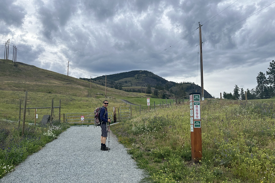
Zosia begins hiking from the well-constructed trailhead at the end of Swainson Road.

Be prepared for a long and complicated uphill grind...

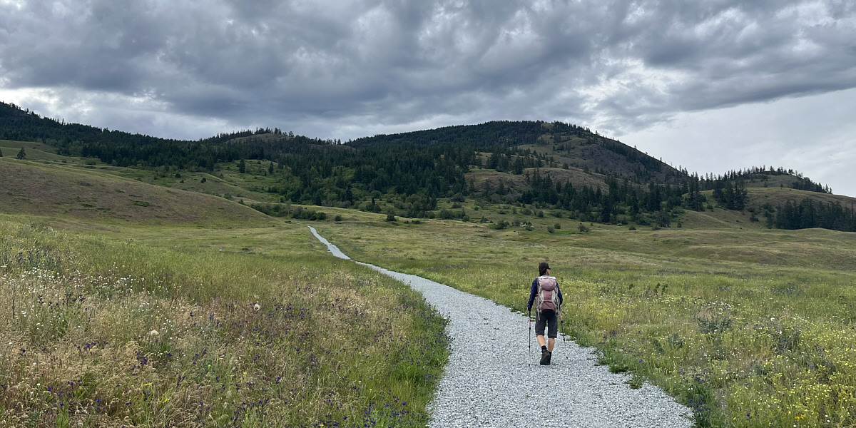
Black Knight Mountain is straight ahead and looks deceptively easy from the initial approach trail.


A token wildflower photo!

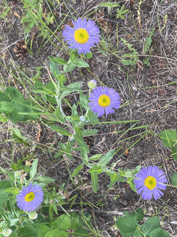
Fleabanes are among the variety of wildflowers found in the area.

Right! Silly little bleeder. One rabbit stew comin' right up! 
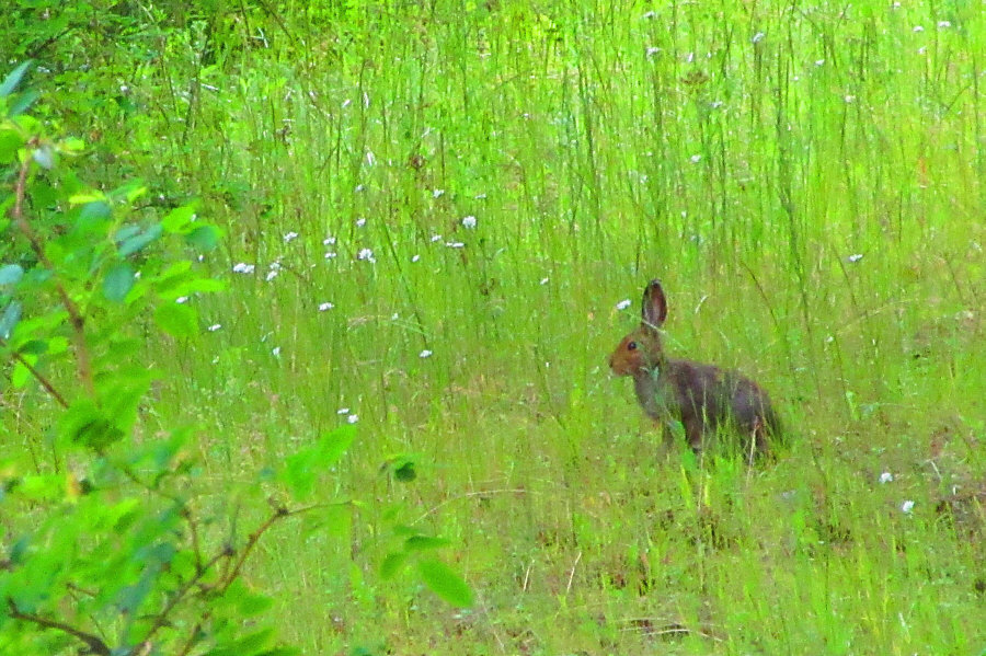
A snowshoe hare is alerted to the presence of possible predators.

Photo courtesy of Zosia Zgolak

Route-finding begins here! 
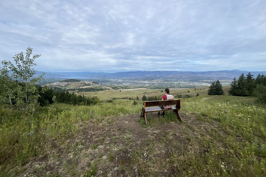
This bench overlooking the city of Kelowna marks the high point of the current established trails in the regional park.
We saw the snowshoe hare here.

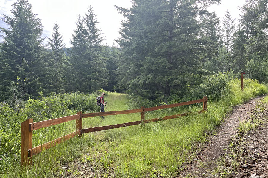
After unnecessarily backtracking a short distance from the bench, Zosia follows an old road branching off from the established trail.

And the real adventure begins! 
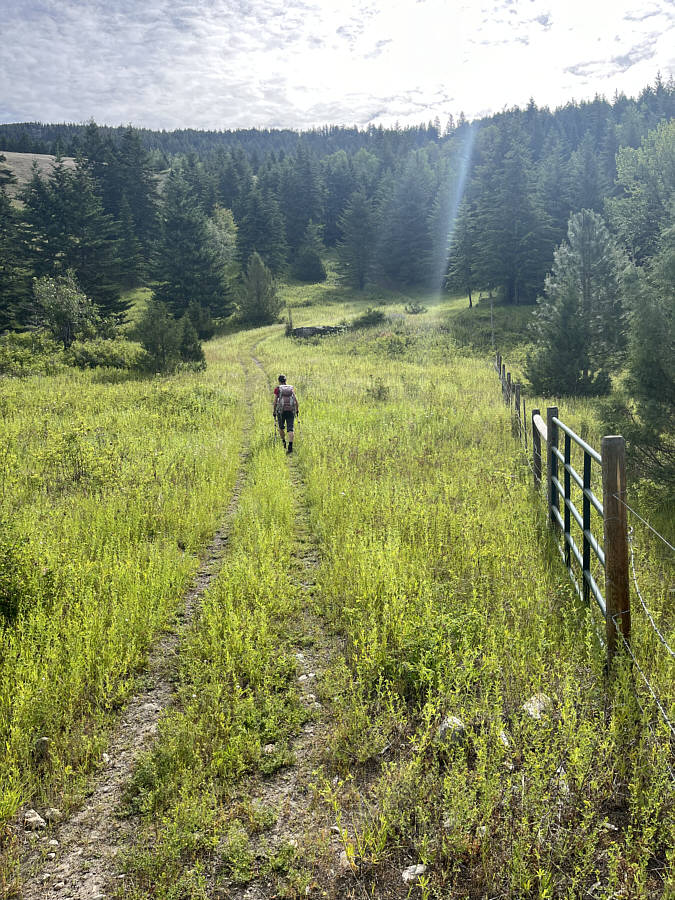
This double-track near the park boundary heads eastward into complicated terrain on the northern flank of Black Knight Mountain.
We're already off Brandon Boulier's GPS track here... 
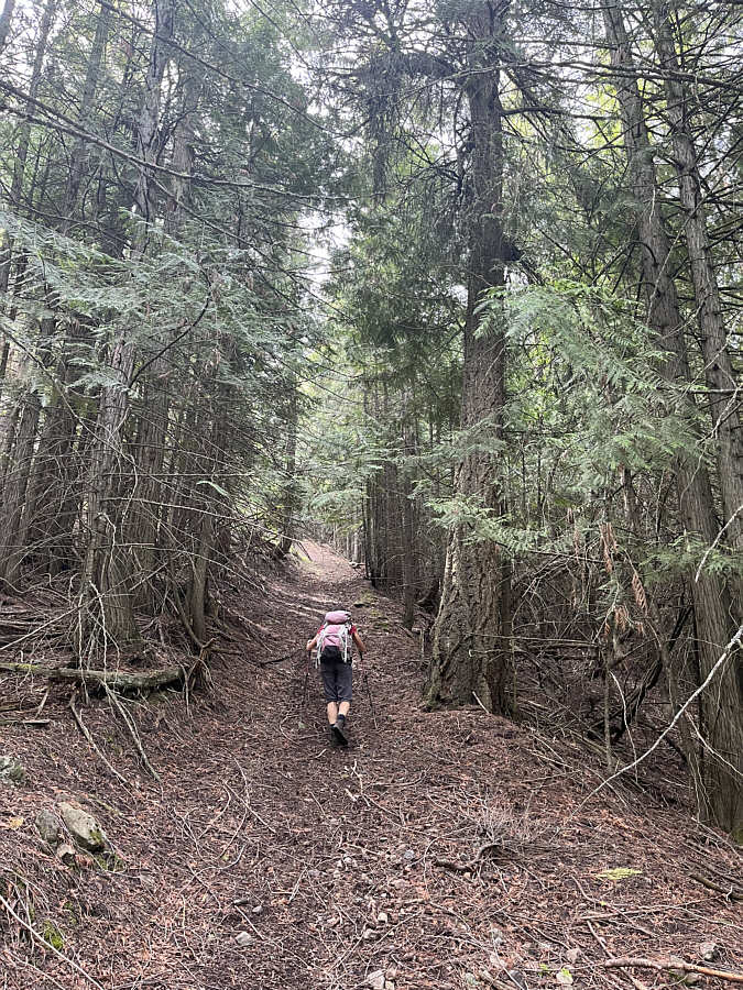
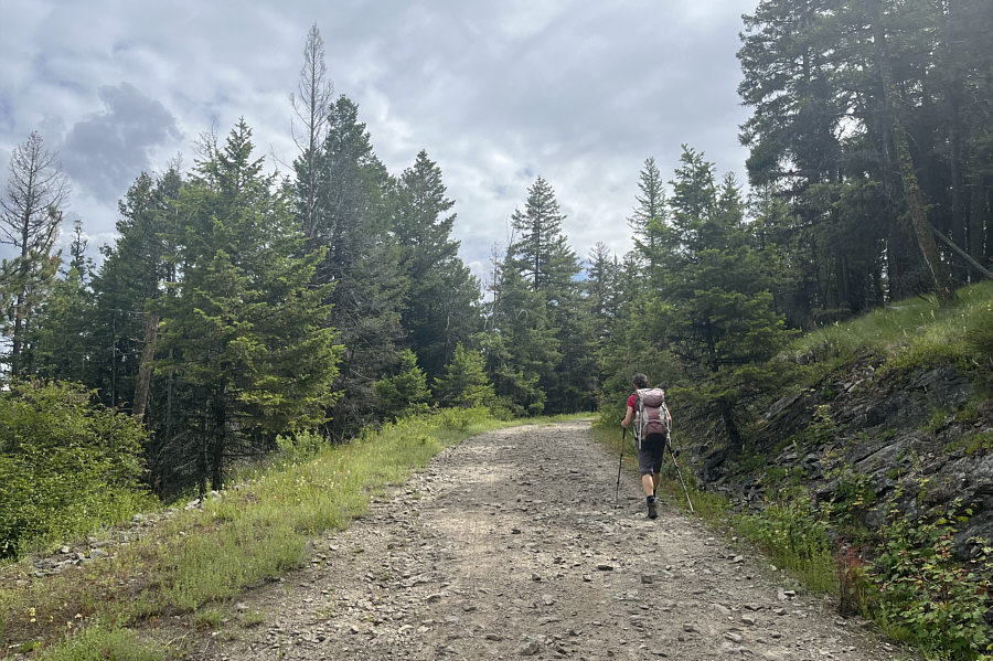
Zosia grinds up a very steep road in the forest.
Doesn't look very promising...but this is the way! 
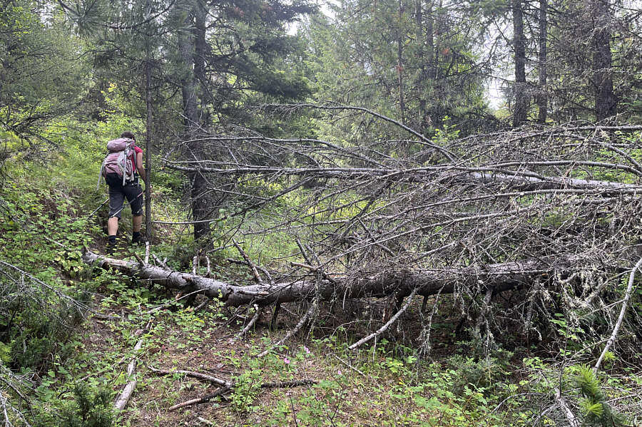
Deadfall partially blocks this reclaimed road which eventually peters out well below the summit.
Easy bushwhacking here. 
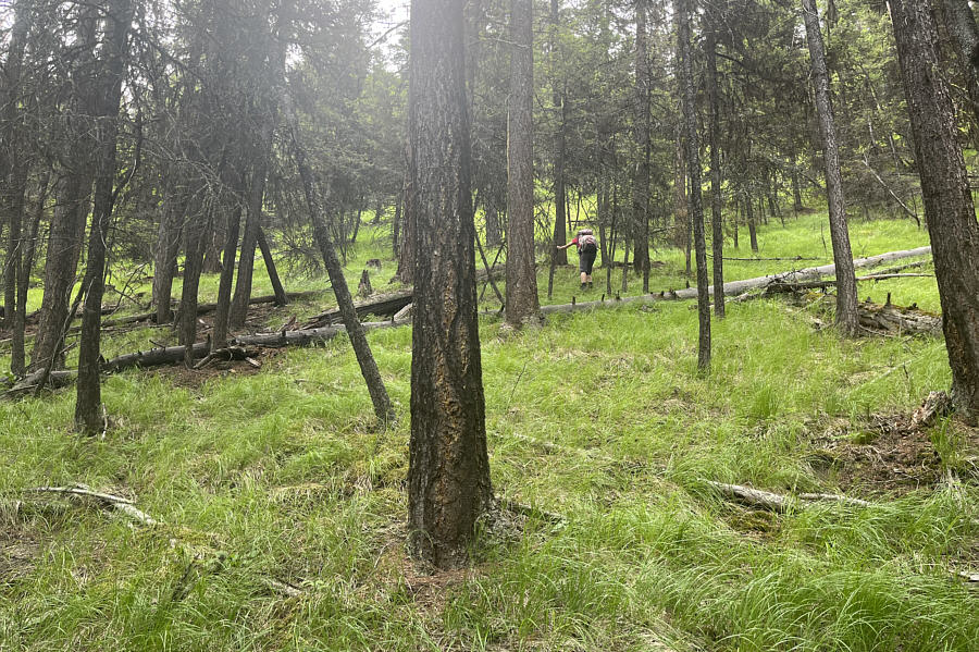
Leaving the reclaimed road, Zosia climbs off-trail up a lightly forested slope.
All done with route-finding at this point! Zosia gains the service road which leads to the top of Black Knight Mountain.
Still ski season at Little White Mountain? 
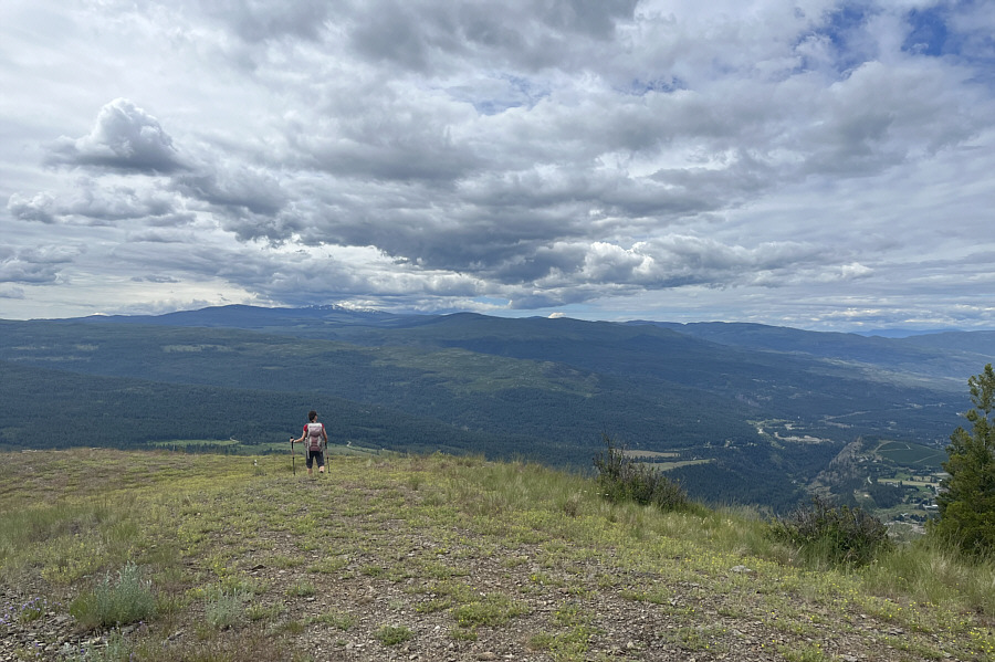
This open bench near the top grants far-reaching views to the south.  Visible on the horizon above Zosia is the snowy top of Little White Mountain.

We actually camped the previous night somewhere in the forest at far left.

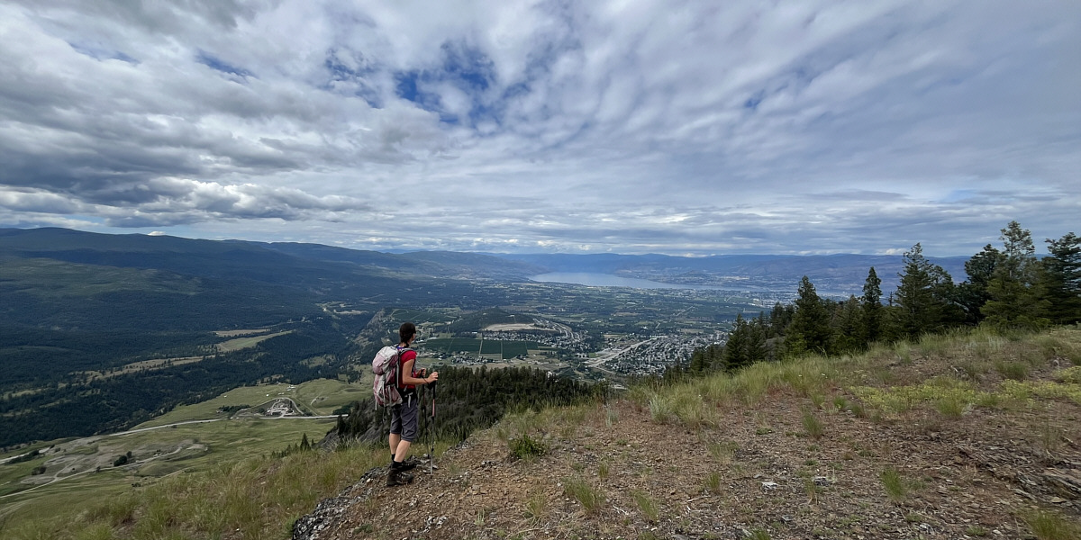
Okanagan Lake is the most recognizable feature in this view to the southwest.


The Black Knight always triumphs! 
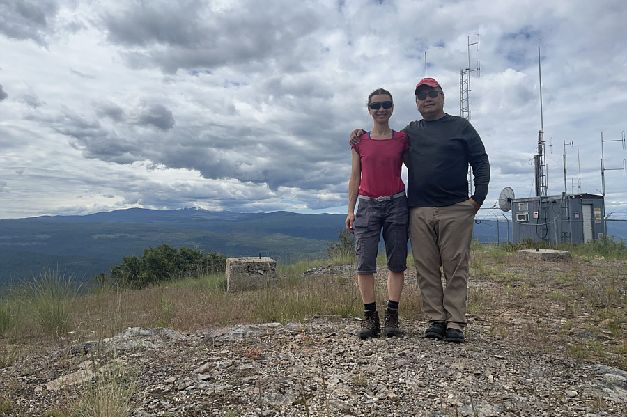
Zosia and Sonny stand on the summit of Black Knight Mountain (1293 metres).
Did you hear voices? 
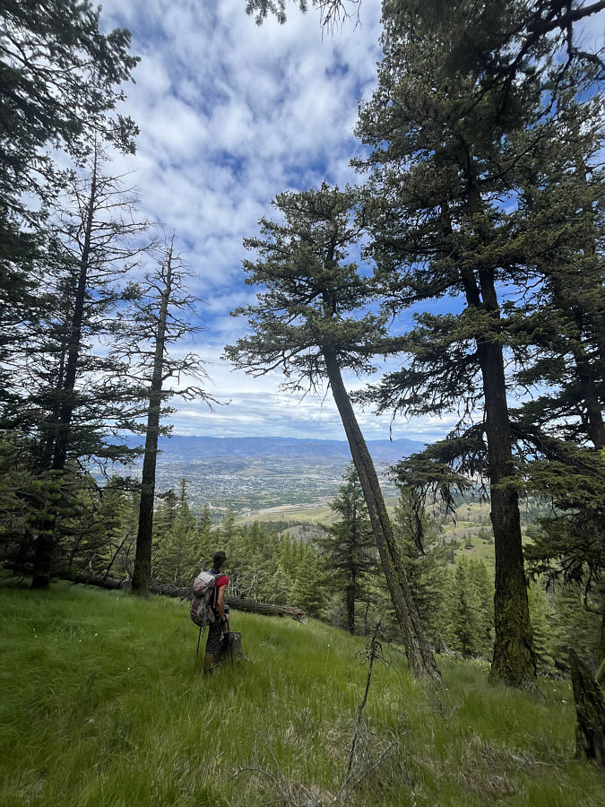
Backtracking down the lightly forested slope she climbed earlier, Zosia pauses to admire the partial views of Kelowna through the trees.
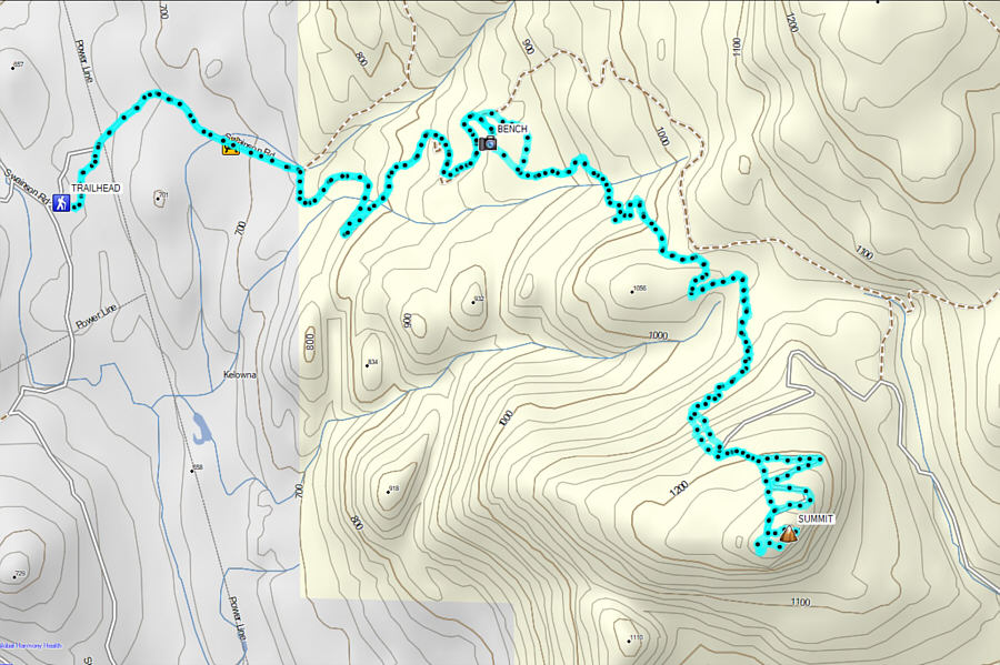
Possibly one of the best hikes near Kelowna, it will become even more popular once a proper trail is built to the summit. Total Distance:  13.5 kilometres
Round-Trip Time:  5 hours 30 minutes
Cumulative Elevation Gain:  645 metres

GPX Data