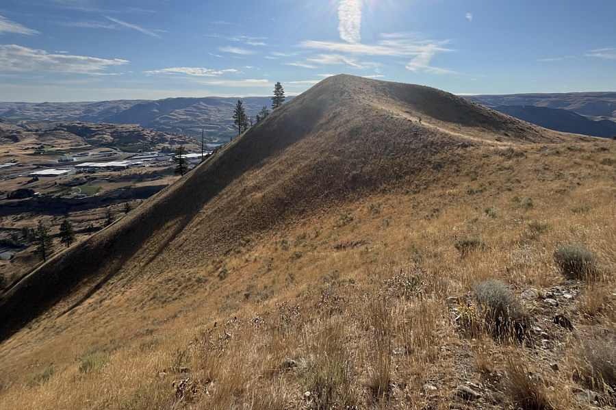
Zosia climbs a short spur trail to the top of Elephant Head.
|
|
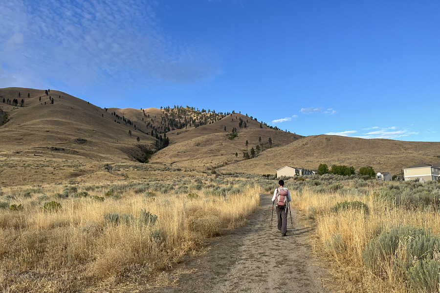
Zosia begins hiking on the trail to Chelan Butte. |
|
|
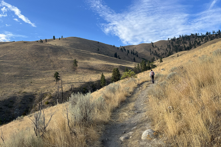
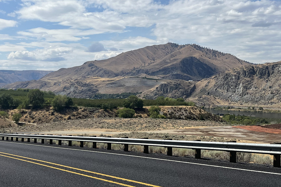
The trail eventually crosses the drainage here and traverses to the left out of the photo. |
|
|
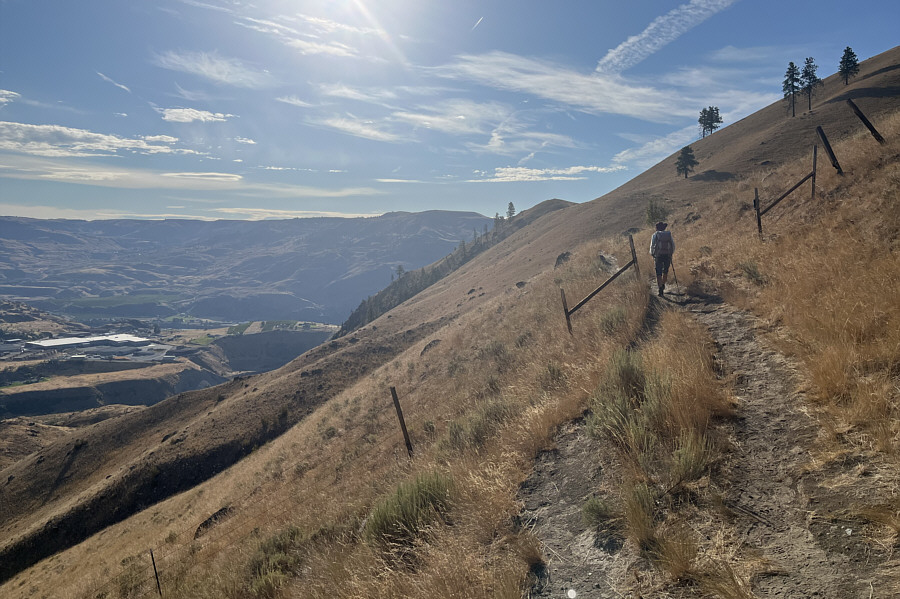
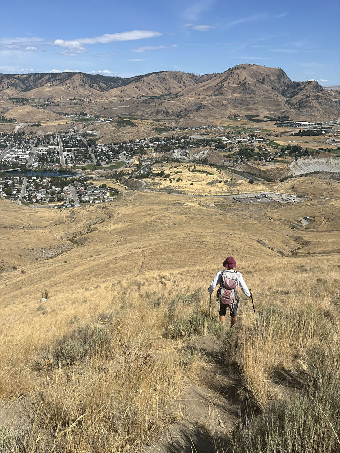
Zosia heads toward the distant bump ahead known unofficially as Elephant Head. |
|
|
Zosia climbs a short spur trail to the top of Elephant Head. |
|
|
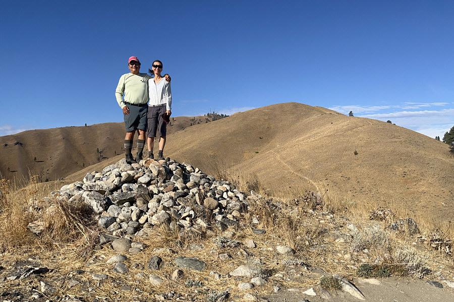
Sonny and Zosia stand on top of Elephant Head (700 metres). |
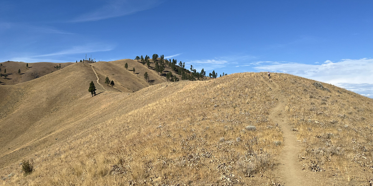
The remainder of the route to the top of Chelan Butte looks innocuous enough, but there is still a lot of elevation gain left (about 340 metres from this point).
 |
Zosia approaches the final rise before the top. |
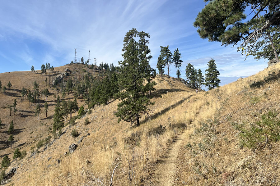
Here is an unobstructed view of Lake Chelan from the trail about 70 metres below the top.
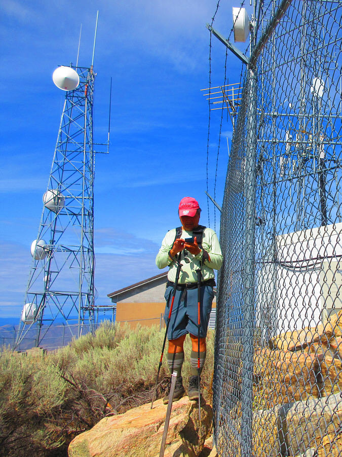 |
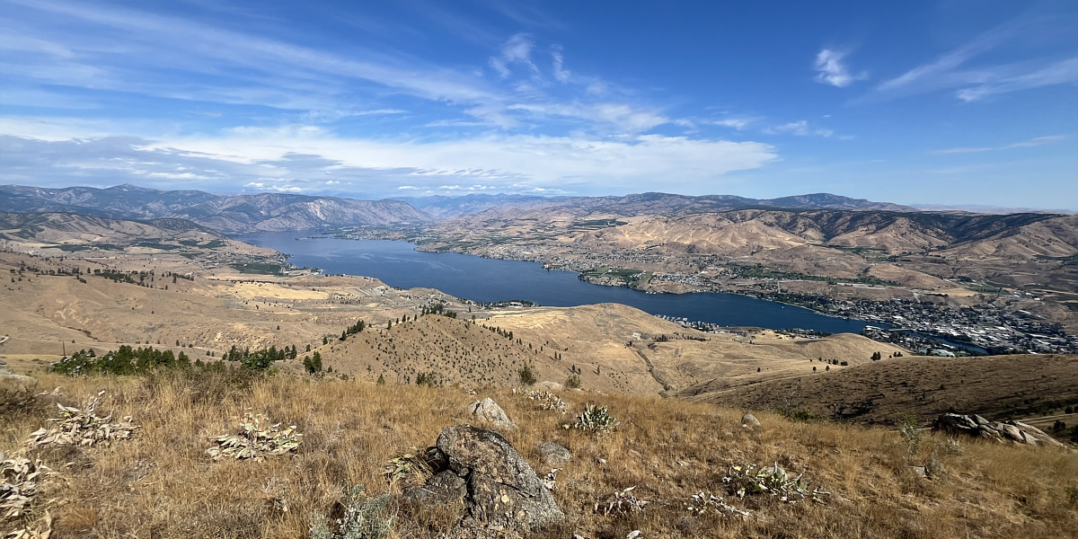
Sonny stands on the highest point
(1169 metres) accessible to the public on Chelan Butte. Photo courtesy of Zosia Zgolak |
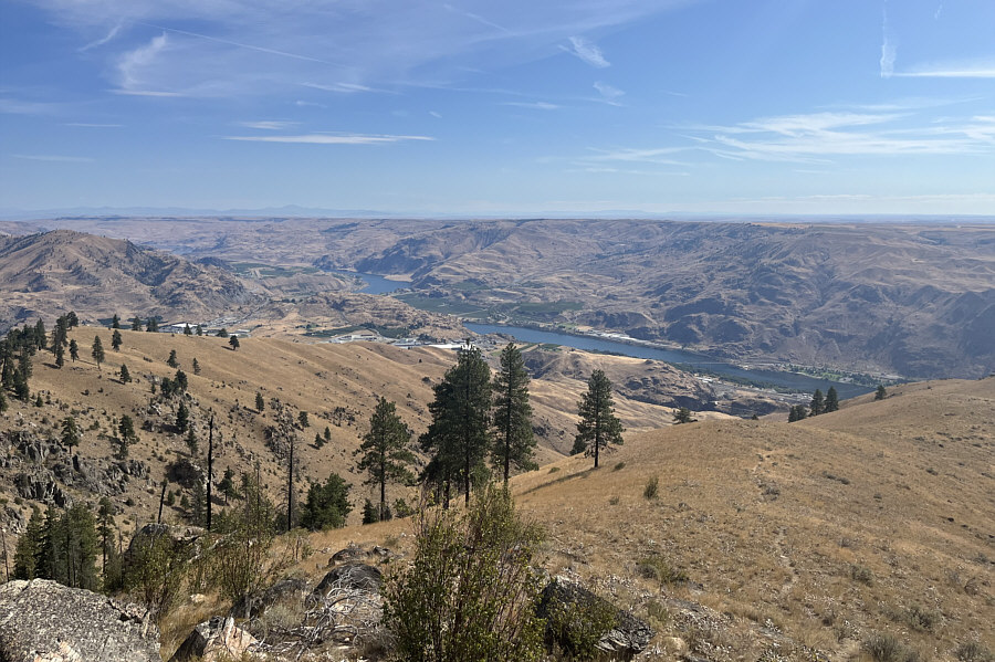 |
Portions of Lake Entiat (Columbia River) are visible to the northeast. On the distant left horizon is Moses Mountain. |
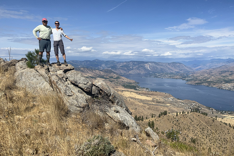 |
Sonny and Zosia stand on a rock outcrop overlooking Lake Chelan. |
 |
Zosia descends a very steep short-cut trail on the return hike. |
 |
Here is a last look at Chelan Butte from McNeil Canyon Road. |
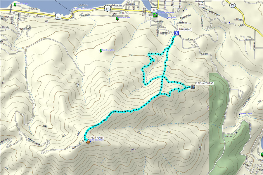 |
Total Distance: 10.2 kilometres Round-Trip Time: 5 hours Cumulative Elevation Gain: 790 metres |