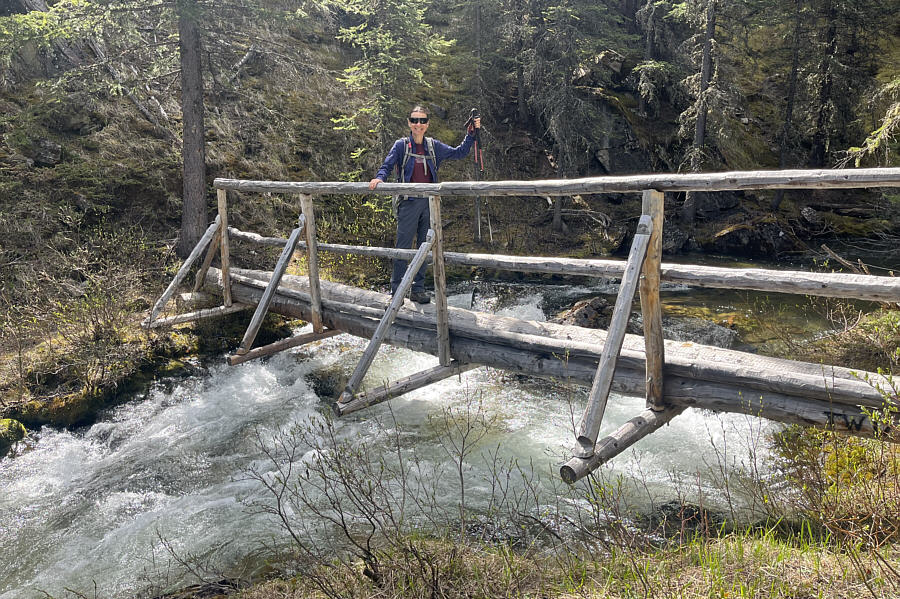
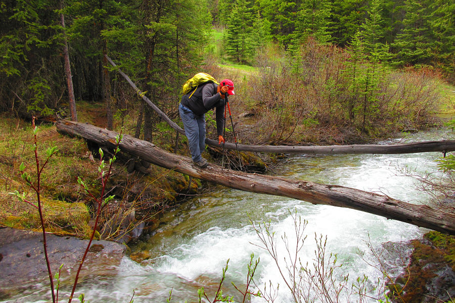
Zosia crosses Baril Creek on a very convenient bridge.
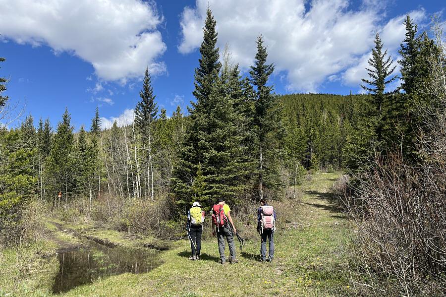
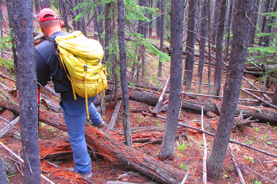
Photo courtesy of Zosia Zgolak
|
|
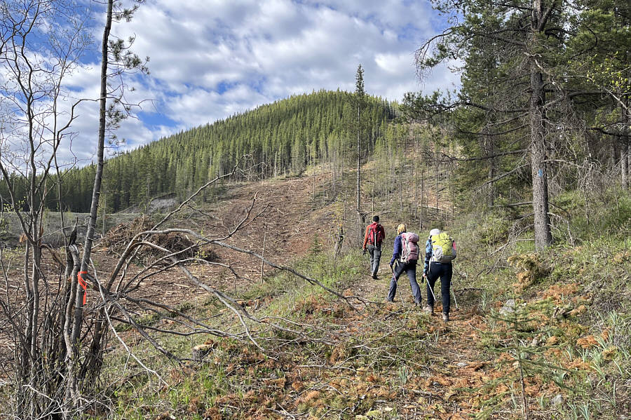
Ali, Zosia and Asieh pass a recently-logged slope near the trailhead. |
|
|
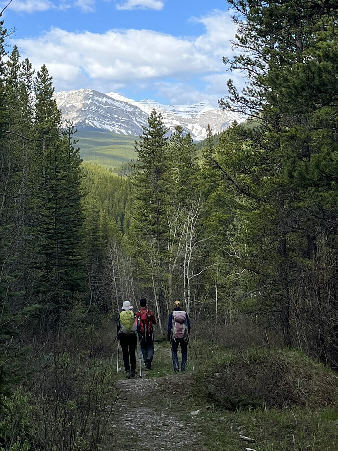
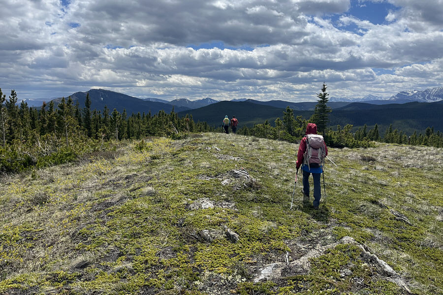
Some of the peaks in the vicinity of Fording River Pass can be seen in the distance as the group follows a trail along Baril Creek. |
|
|
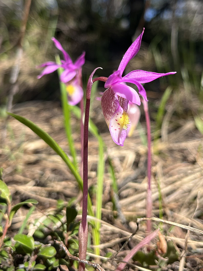
Calypso orchids are blooming everywhere in the area. |
|
|
Zosia crosses Baril Creek on a very convenient bridge. |
|
|
Shortly after crossing Baril Creek, the group takes the right branch at this split. |
|
|
Sonny tiptoes his way through
toothpick deadfall on the southwest slope of Coyote Hills West. Photo courtesy of Zosia Zgolak |
After breaking out of the trees, Asieh, Ali and Zosia wander northward past the high point of Coyote Hills West (2004 metres).
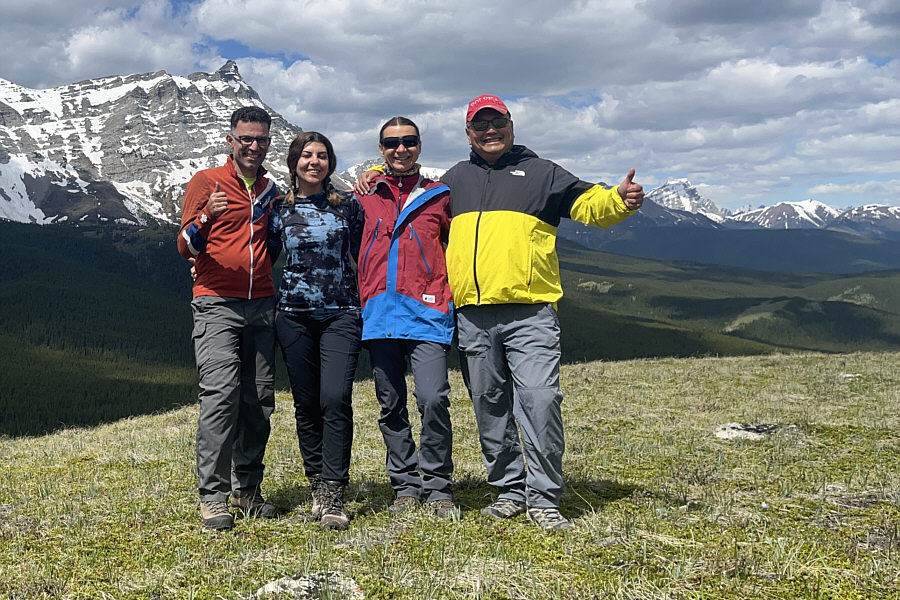 |
Ali, Asieh, Zosia and Sonny enjoy a brief spot of sunshine on the north ridge of Coyote Hills West. |
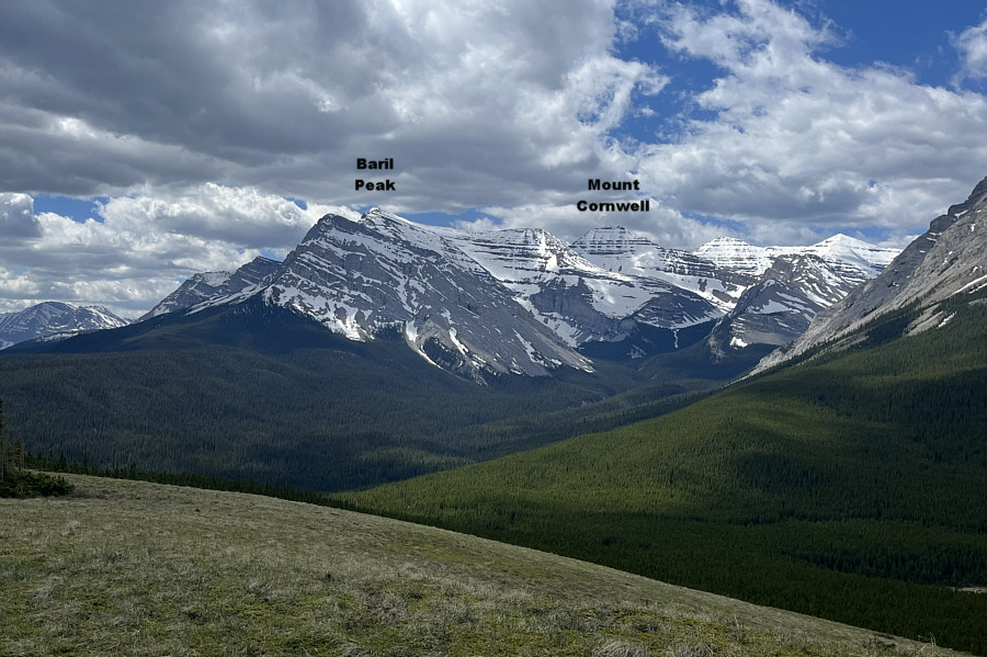 |
Here is a view to the southwest of some of the peaks in the vicinity of Fording River Pass. |
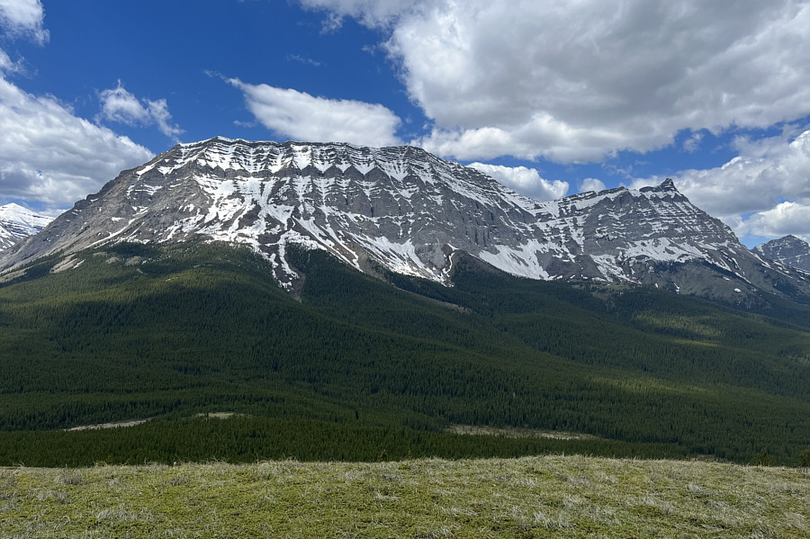 |
Mount Armstrong dominates the view to the west. |
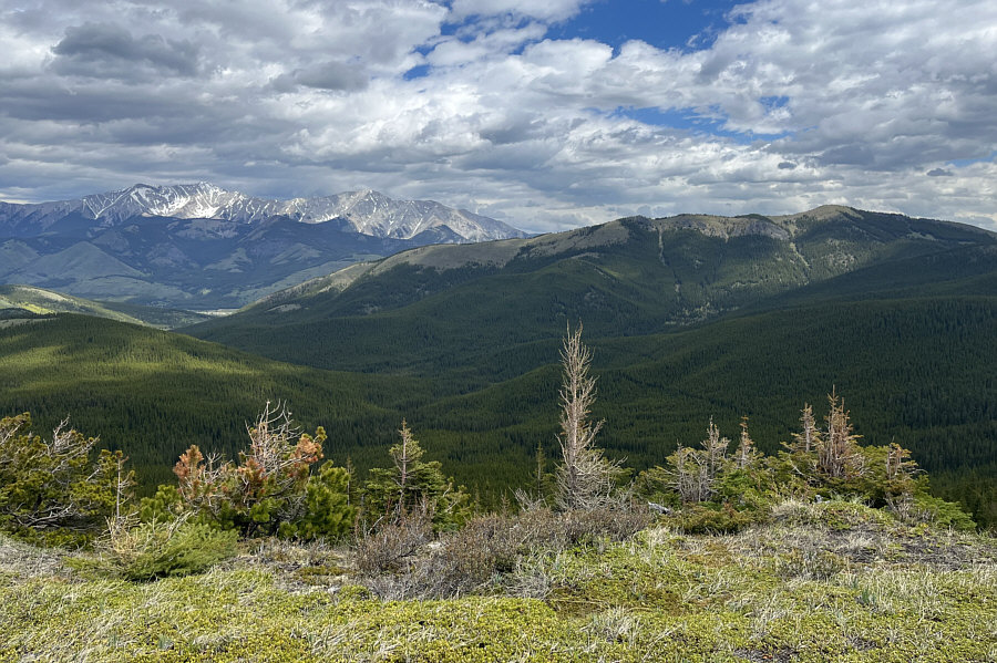
Strawberry Hills are visible in the middle foreground at right in this panoramic view to the northwest.
 |
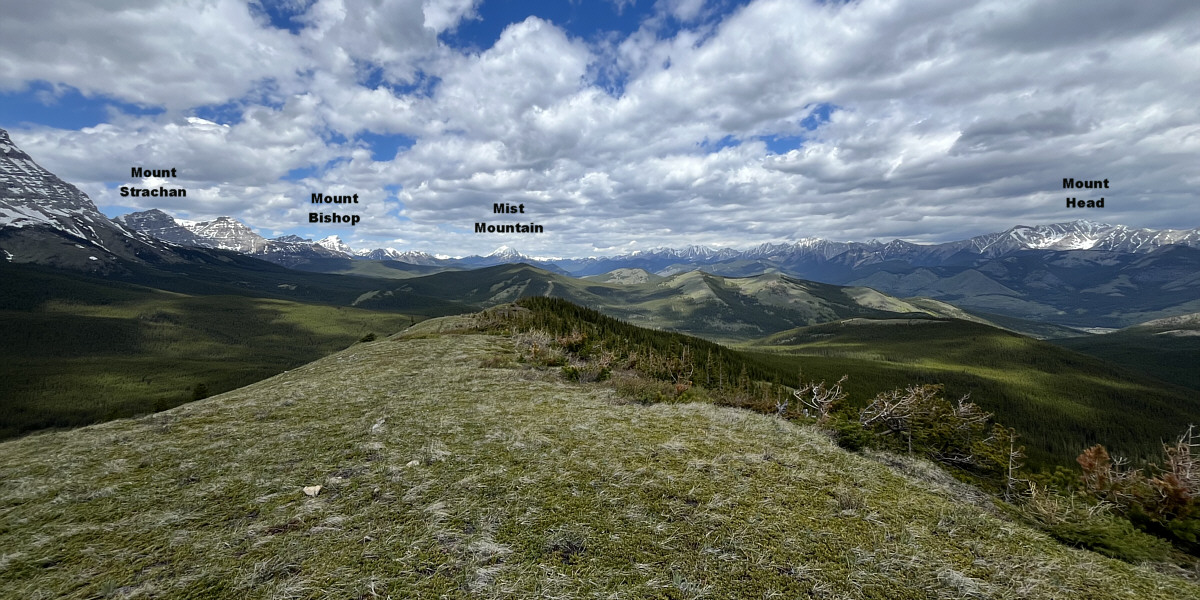
The highest of the Coyote Hills can be seen at far right. Also visible at distant left are Mount Head and Holy Cross Mountain. |
 |
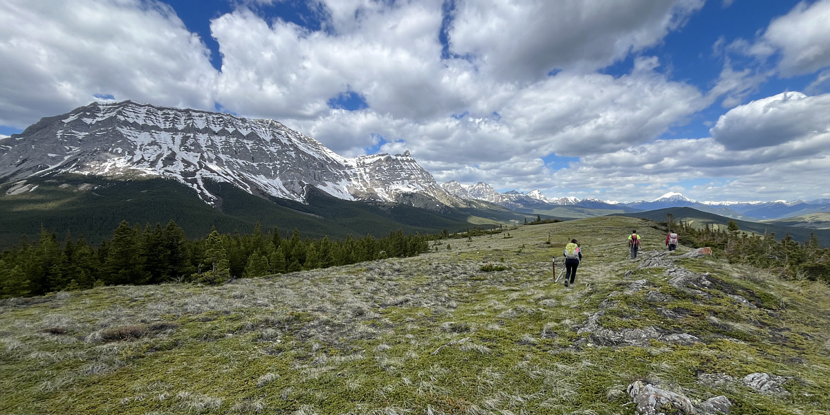
Zosia follows Asieh and Ali as they head for the south end of the ridge. At distant far left is Raspberry Ridge. |
 |
Sonny re-crosses Baril Creek on an old
makeshift bridge. Photo courtesy of Zosia Zgolak |
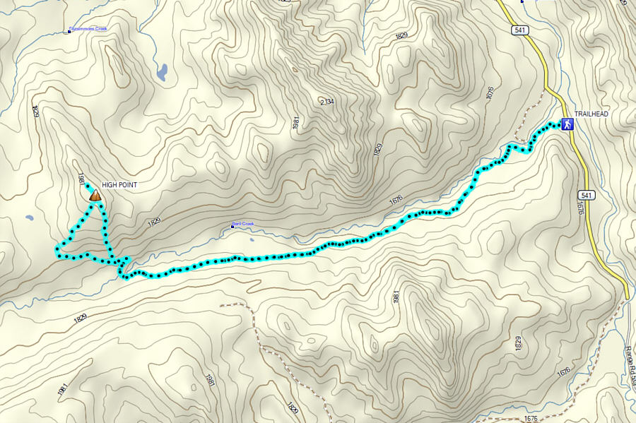 |
Total
Distance: 17.3 kilometres Round-Trip Time: 6 hours 19 minutes Cumulative Elevation Gain: 460 metres |