BOU AVENUE
Dinosaur Provincial Park

With cold and windy conditions prevailing in the mountains on 16 November 2024, Zosia Zgolak and I opted to go hiking in Dinosaur Provincial Park located about 48 kilometres northeast of Brooks, Alberta.  This would be Zosia's second visit to the park and my first.  The park is a UNESCO World Heritage Site renowned for its unique badlands topography and abundance of dinosaur fossils.  As such, most of the park is either closed to the public or only accessible through guided tours.  Having said that, there is still plenty of room for exploration just within the small section of the park that is open to the public, and we would cover a good chunk of this on four separate short hikes.  Driving directions and a handy trail map are among the many useful resources found on the park's website.

Zosia and I began our visit with a brief stop at a viewpoint near the park entrance before driving to a large parking lot (50.76163, -111.51951) near the campground registration building.  From the parking lot, we walked past some washrooms to the start of Coulee View trail next to the park's visitor centre.  We hiked a partial loop of the trail in a counter-clockwise direction before taking a short connector which drops down to the nearby campground.  At the south end of the campground, we picked up another trail which runs alongside Little Sandhill Creek.  For some reason, this trail has been shortened by about half a kilometre, but with the scenery not really changing much, I do not think we missed out on anything extraordinary.

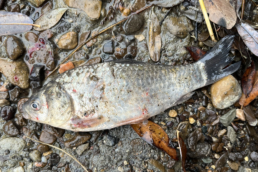
At one point, I spotted a couple of fish washed up on the edge of Little Sandhill Creek which was not much more than a series of small shallow pools connected by pathetic trickles of water.  One of the fish was still moving a bit, but it was in a spot that was difficult to access.  Zosia and I pretty much assumed that it was on its last legs anyway and carried on hiking into the coulee.  Returning to the same spot about forty minutes later, we took a quick peek at the fish and noticed that the one that had been moving had flopped itself even further from the water's edge.  Yet, it was still alive.  Determined to help the fish, I managed, with some difficulty, to work my way down into the creek bed.  Surprisingly, I discovered that the other fish that had not moved was also still alive.  With my bare hands, I pushed both fish into an adjacent shallow pool, and they responded well by swimming vigorously and disappearing under an embankment.  I was pretty happy about the rescue until we went to the visitor centre later in the day and discovered that I had inadvertently saved a couple of Prussian carp, an invasive species that the Alberta government has been working hard to eradicate.  Fortunately, Little Sandhill Creek was virtually dried up, and I doubt that the carp I saved would have made it very far beyond the small pool where they ended up.
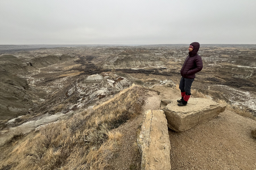
Brrrrrrrrrr!!! It's frickin' cold! Zosia stands at a viewpoint near the entrance to Dinosaur Provincial Park.
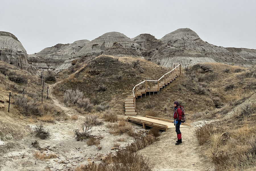
Comfort hiking? Zosia heads for a seemingly brand new wooden staircase on Coulee View trail.
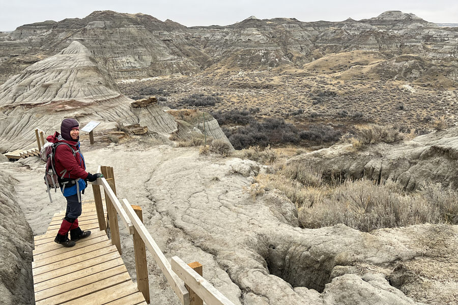
Probably a good thing that they built a railing here for those who aren't watching where they step! Zosia pauses next to a sinkhole while enjoying views across the coulee.
It's best to stick to established trails and not try short cuts here!

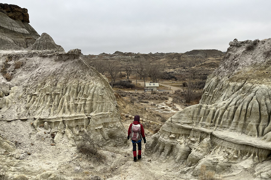
Zosia follows some stairs down to a nearby campground to access the Little Sandhill Creek trail.

Where's the creek?

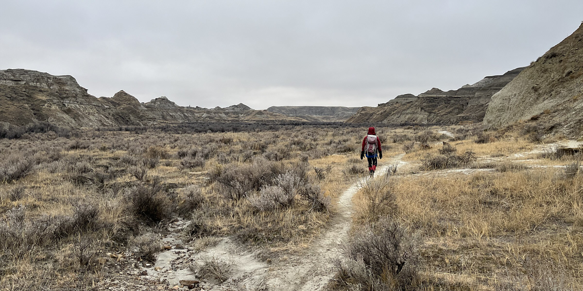
Little Sandhill Creek trail runs along the bottom of the coulee.
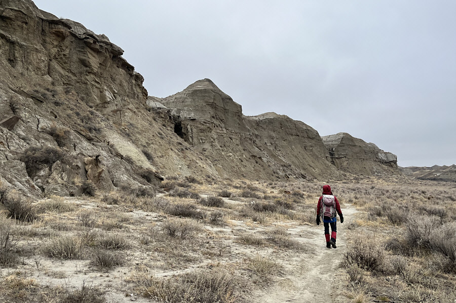
 

Let's go...to the Bat Cave! After turning around earlier than expected, Zosia notices a cave in the cliffs at left.
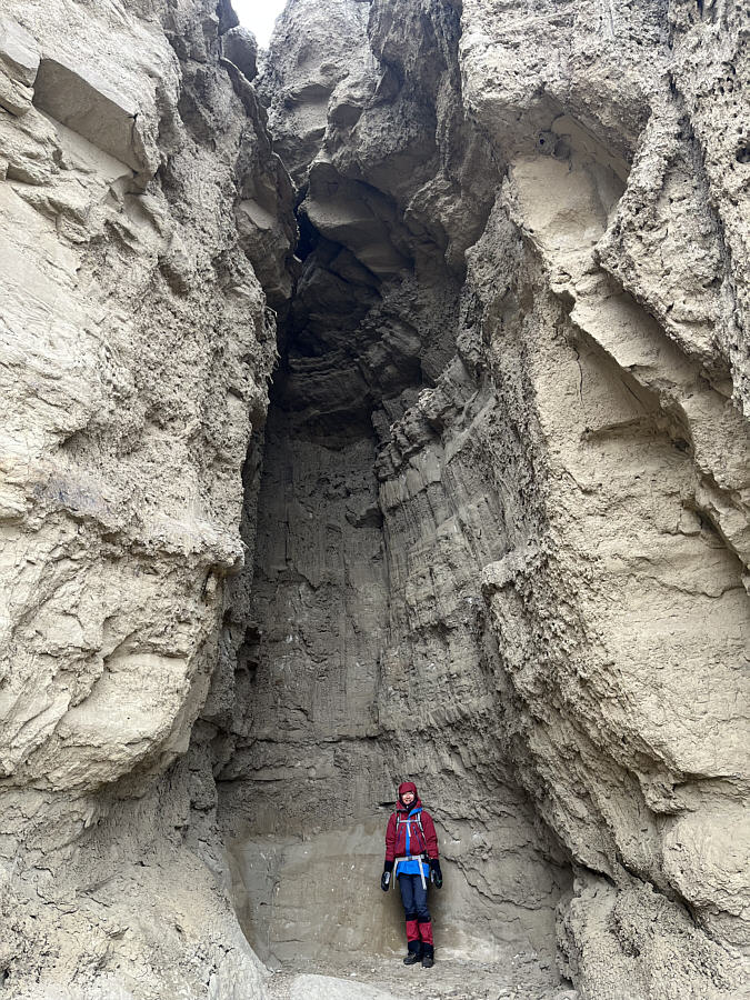
Watch for falling rocks? The cave turns out to be little more than a shallow recess in the cliffs.
Official government policy is to kill it on sight! Prussian carp is an invasive species of fish that is detrimental to local aquatic ecosystems due to their hardiness and destructive feeding habits.  This one is still alive after floundering out of water for at least forty minutes.
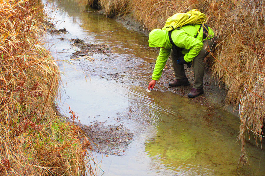
Oh, those Prussians! Ignorant of the Alberta government's policy of eradicating Prussian carp, Sonny inadvertently coaxes a couple of beached carp back into the waters of Little Sandhill Creek.

Photo courtesy of Zosia Zgolak

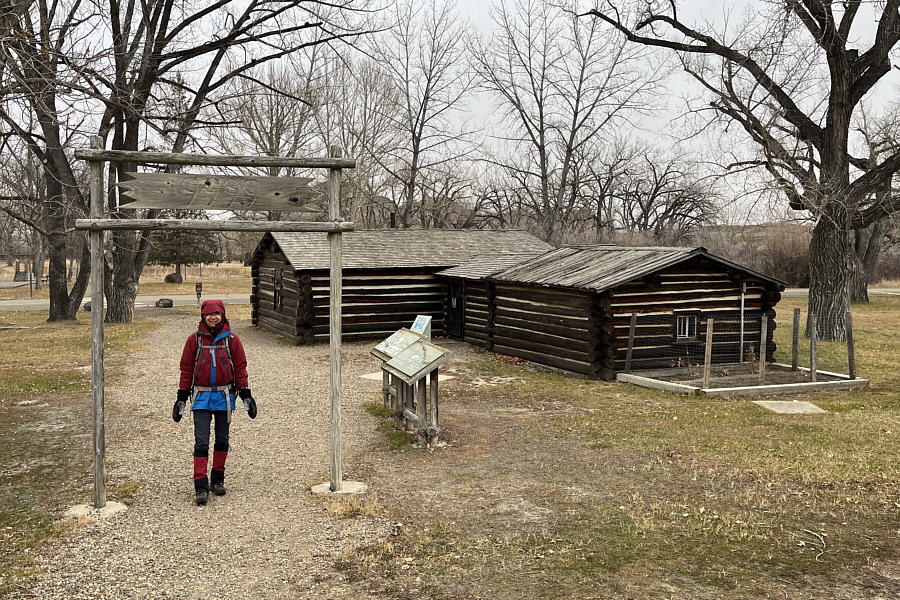
Hey, where the white women at? Beside the campground is a historic cabin that once belonged to the legendary black cowboy, John Ware.
Longest continuous walk of the day! Total Distance:  4.4 kilometres
Round-Trip Time:  1 hour 47 minutes
Cumulative Elevation Gain:  37 metres

GPX Data

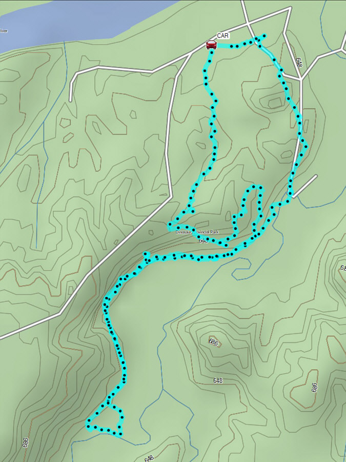
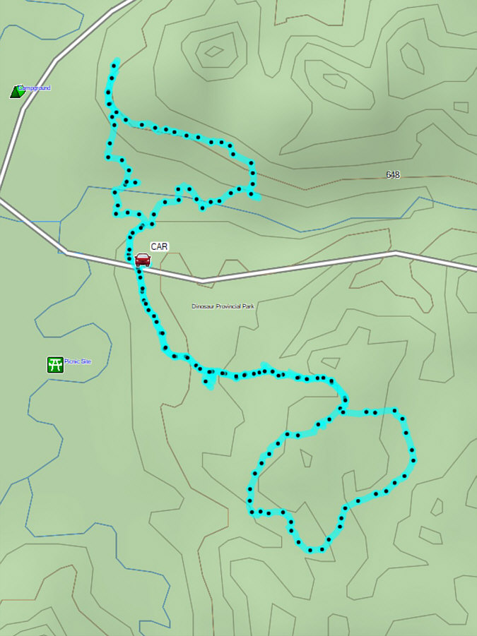
After returning from our first hike, Zosia and I next drove along the Public Loop Road to a pullout (50.76074, -111.51156) which is the trailhead for Badlands Trail.  We hiked the straightforward loop trail in a counter-clockwise direction without any trouble.  Intrigued by a wooden staircase and various trail markers to the north of the pullout, we extended our hike to portions of different trails at the western end of the Public Loop Road including some with exotic names like "Gorgosaurus Gully" and "Ornithomimid Overlook".  Unsure of where most of these trails went, we cut short our wanderings here and returned to the pullout.
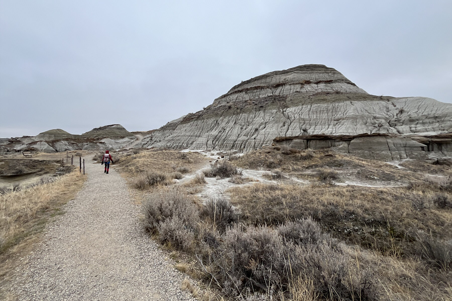
She's been here before! Zosia starts up Badlands Trail.
If only they were all officially-named... The numerous small bumps and ridges along Badlands Trail are fun to climb.
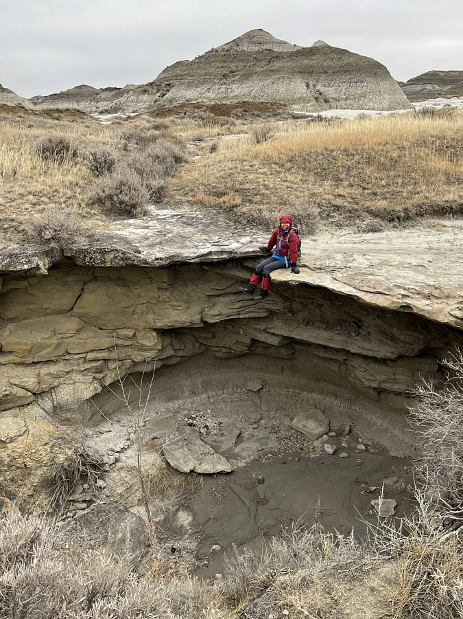
Zosia trusted that rock flake more than I would have! Zosia sits precariously on the edge of a dry waterfall.
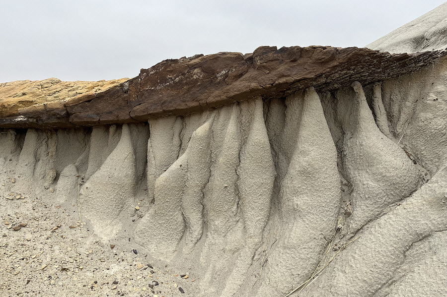
Natural work of art! This is a typical example of a hoodoo formation with a hard layer of rock sitting atop an eroded softer layer characterized by rills.
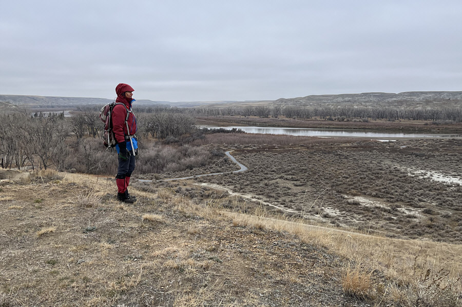
I wonder how many Prussian carp are in Red Deer River... After finishing Badlands Trail, Zosia extends the hike to River View trail which, not surprisingly, grants a view of Red Deer River.
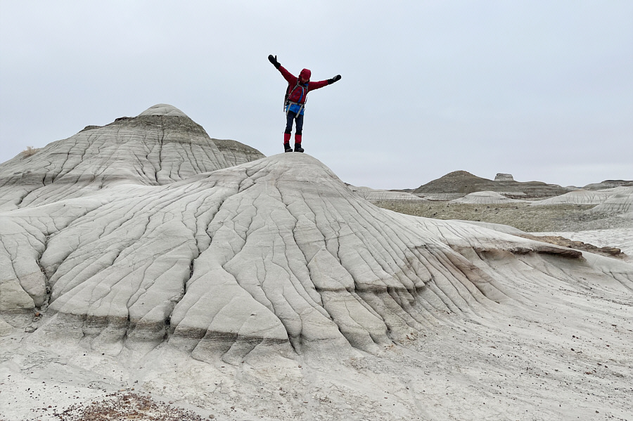
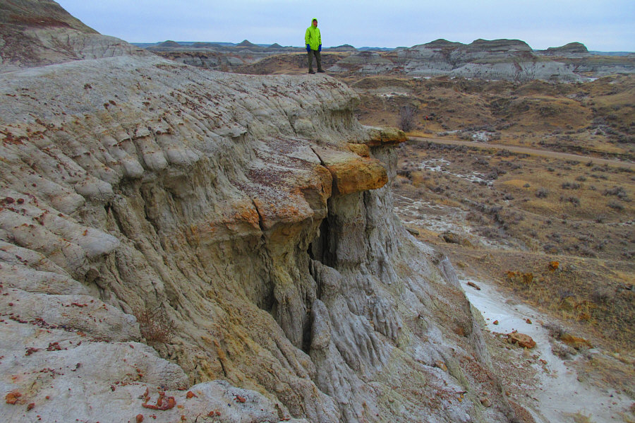
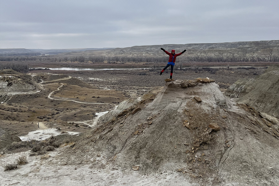
We're a bit off-trail here... Sonny stands above some larger hoodoo formations overlooking the Public Loop Road.

Photo courtesy of Zosia Zgolak

Second longest continuous hike of the day! Total Distance:  2.6 kilometres
Round-Trip Time:  59 minutes
Cumulative Elevation Gain:  34 metres

GPX Data

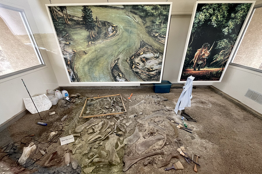
Our next stop was at two fossil exhibits near the east end of the Public Loop Road.  Housed within protective buildings, the exhibits showcase a couple of dinosaur fossil excavation sites.  From the parking lot (50.76559, -111.49875) beside "Fossil Display 2", Zosia and I hiked the Trail of the Fossil Hunters which leads to another interpretive display about half a kilometre away.  We then extended the hike to Upper Cretaceous Trail and Extinction Expedition trail mainly because we wanted to check out a couple of log ladders that we spotted from a distance.  Once again, we were not sure where these other trails ended up, and as such, we went off-trail for a bit before eventually muddling our way back to the Trail of the Fossil Hunters and subsequently the trailhead.
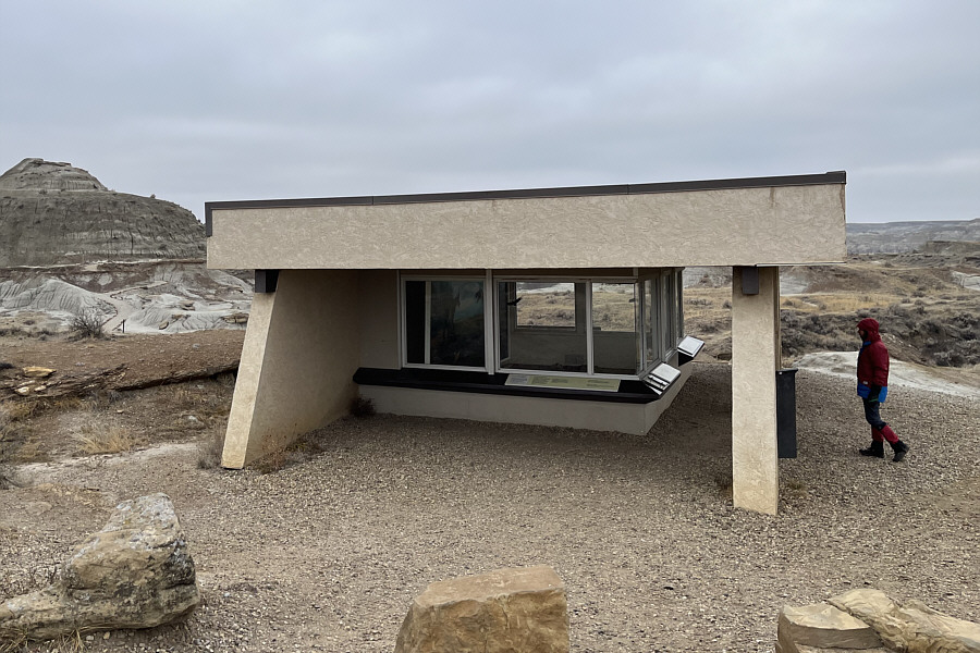
More spacious than my apartment! Zosia approaches the building housing "Fossil Display 1".
Look at the bones!! Here are the contents of "Fossil Display 2".

Sounds like a B movie!

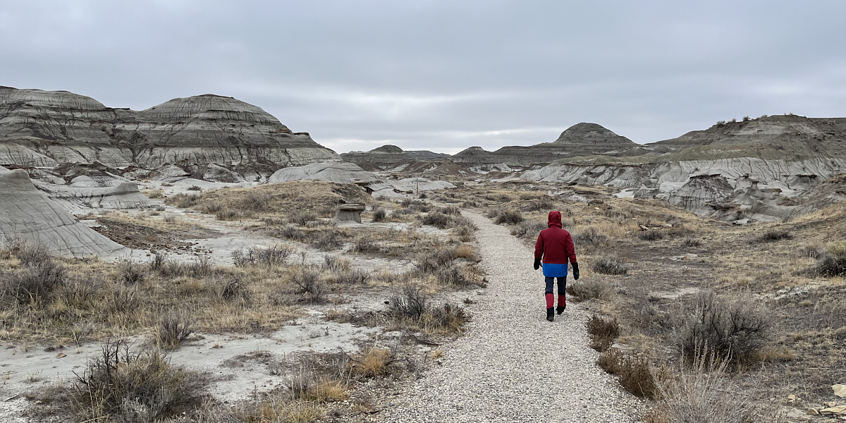
Zosia follows the Trail of the Fossil Hunters.
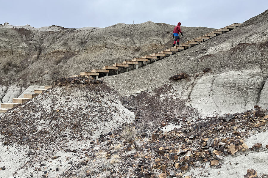
 

Stairway to Heaven? Maybe for the dinosaurs who went extinct at the end of the Cretaceous period! Zosia climbs a long set of stairs along Upper Cretaceous Trail.
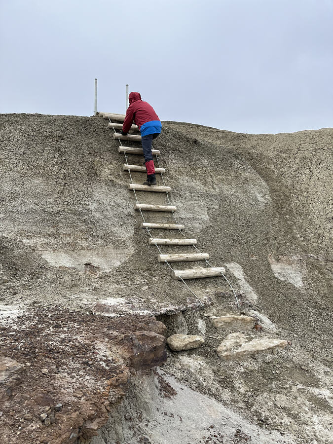
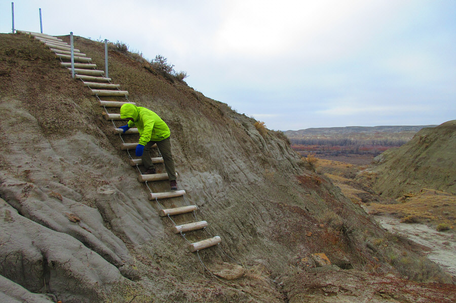
Like climbing Half Dome? Zosia climbs up a log ladder to surmount this steep slope.
So many hoodoos to bag in this park! Zosia bags a hoodoo with Red Deer River visible in the background.
Just like down-climbing! The log ladders are a bit more challenging to descend.

Photo courtesy of Zosia Zgolak

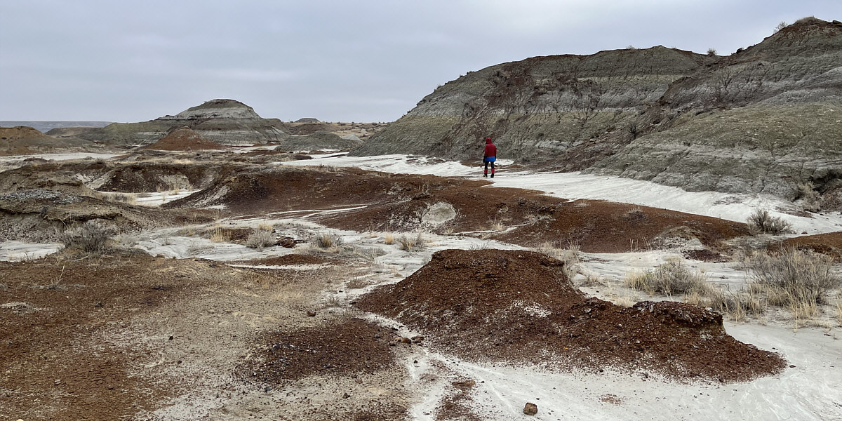
Lots of interesting terrain to explore here...

Zosia hikes off-trail to try and find her way back to the Trail of the Fossil Hunters.
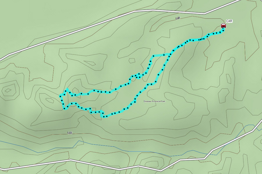
 

Heart of the publicly-accessible portion of the park. Total Distance:  1.8 kilometres
Round-Trip Time:  41 minutes
Cumulative Elevation Gain:  20 metres

GPX Data

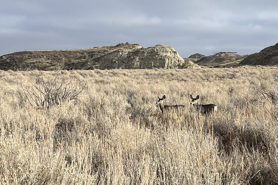
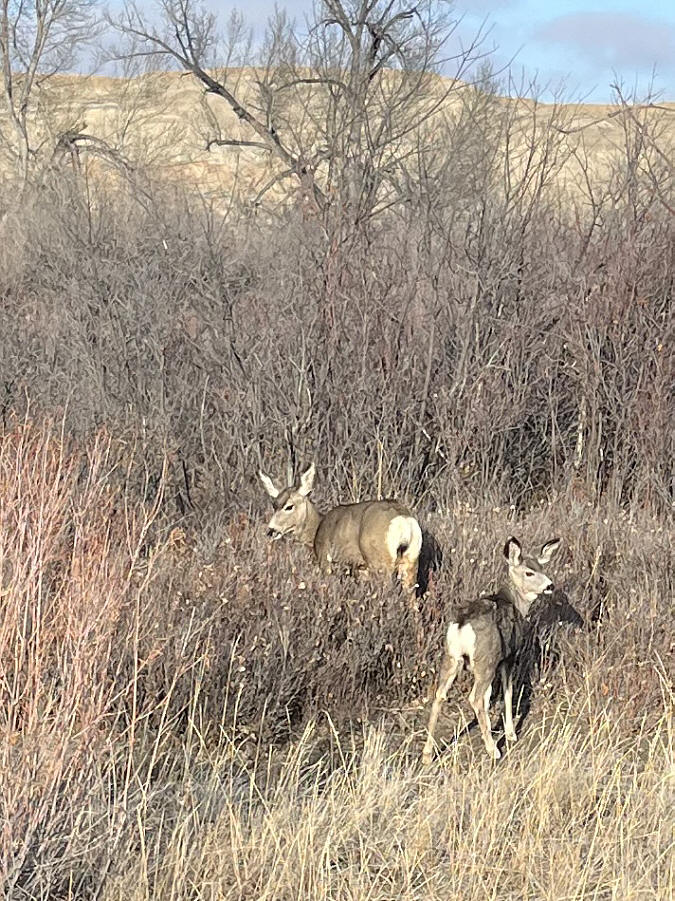
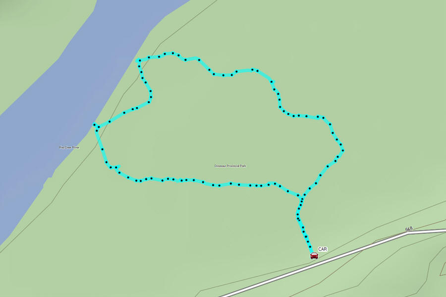
Our final hike in the park was on the easy Cottonwood Flats loop trail which begins from a pullout (50.76571, -111.50591) on the north side of the Public Loop Road.  Unlike the previous trails we hiked, there are no badlands formations here, but the trail features some impressive cottonwood trees as well as nice views of Red Deer River.  As a bonus, we spotted nine mule deer scattered throughout the loop.
More to come... A couple of mule deer wander among the grass near Cottonwood Flats trail.
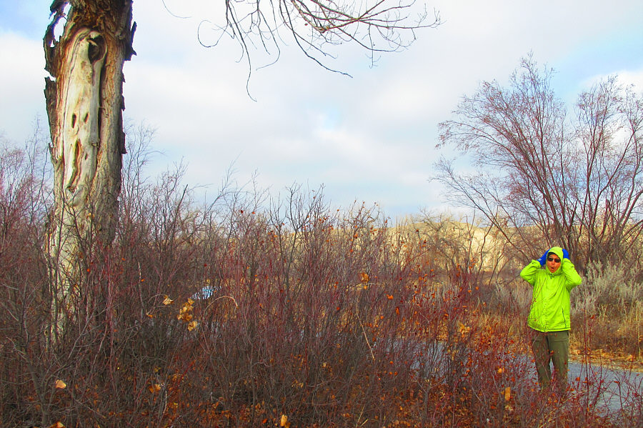
The Scream by Edvard Munch? Sonny tries to mimic what appears to be a spooky face on the stripped trunk at left.

Photo courtesy of Zosia Zgolak

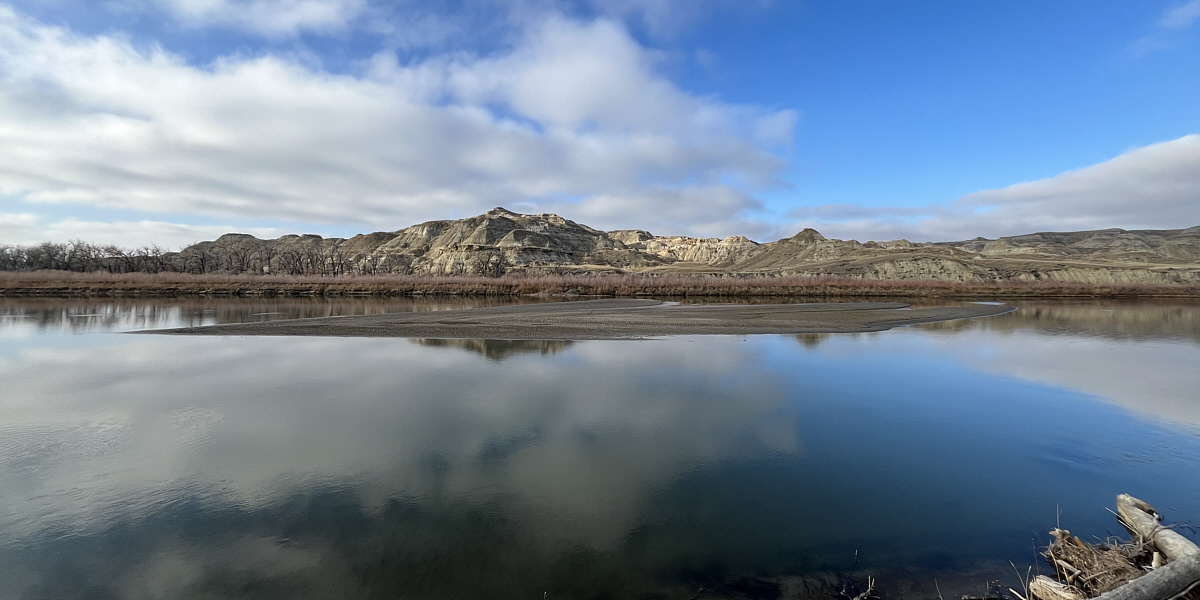
See any Prussian carp?

This area through which Red Deer River flows is known as Deadlodge Canyon.
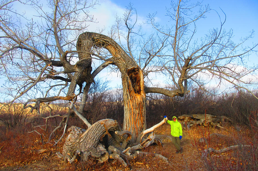
 

This tree...is strong with the dark side of The Force! This slowly-dying cottonwood tree is estimated to be about 200 years old.  This tree was thriving when Red Deer River used to be much closer to it.  As the river began meandering further away over the years though, it has become increasingly difficult for the tree's roots to gather enough water to support the tree.  Hence, the tree's slow demise is inevitable.

Photo courtesy of Zosia Zgolak

Oh, the mother and child reunion is only a motion away... Two more mule deer--a mother and fawn--find sanctuary in the tall grasses here.
A more interesting hike than expected! Total Distance:  1.6 kilometres
Round-Trip Time:  45 minutes
Cumulative Elevation Gain:  21 metres

GPX Data

When we finished hiking, Zosia and I stopped briefly at the visitor centre before driving back up to the same viewpoint we visited before entering the park.  The persistent cloud cover that we had all day finally gave way to sunshine which made for a much better panoramic view.  It was a fitting end to an utterly enjoyable day in Dinosaur Provincial Park.

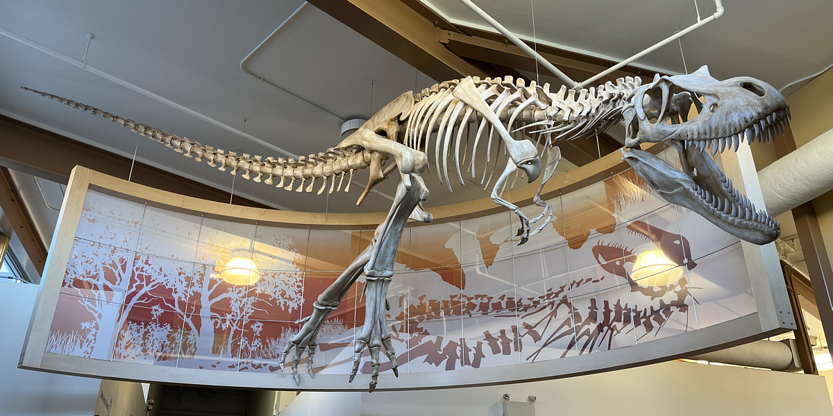
Spared no expense!

Suspended from the ceiling at the visitor centre is this Gorgosaurus skeleton.
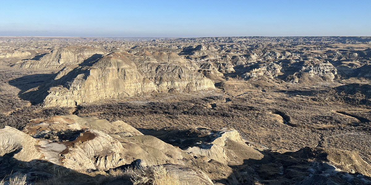
 

Best view of the day.

The view from near the entrance to the park is dramatically improved by late day sunshine.
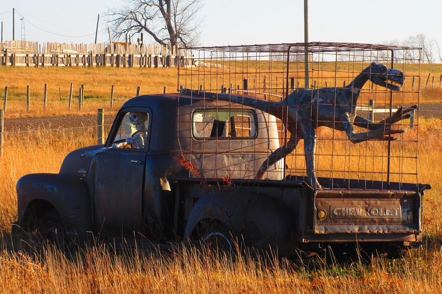
 

Y'all come back now, you hear? This whimsical display is located at the intersection of Alberta Highways 544 and 876.

Photo courtesy of Zosia Zgolak