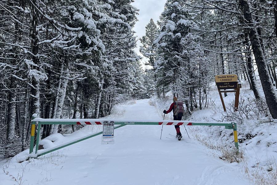
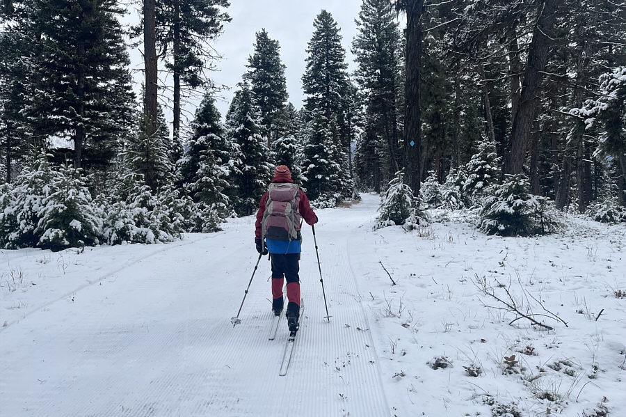
Zosia passes a locked gate just before the top.
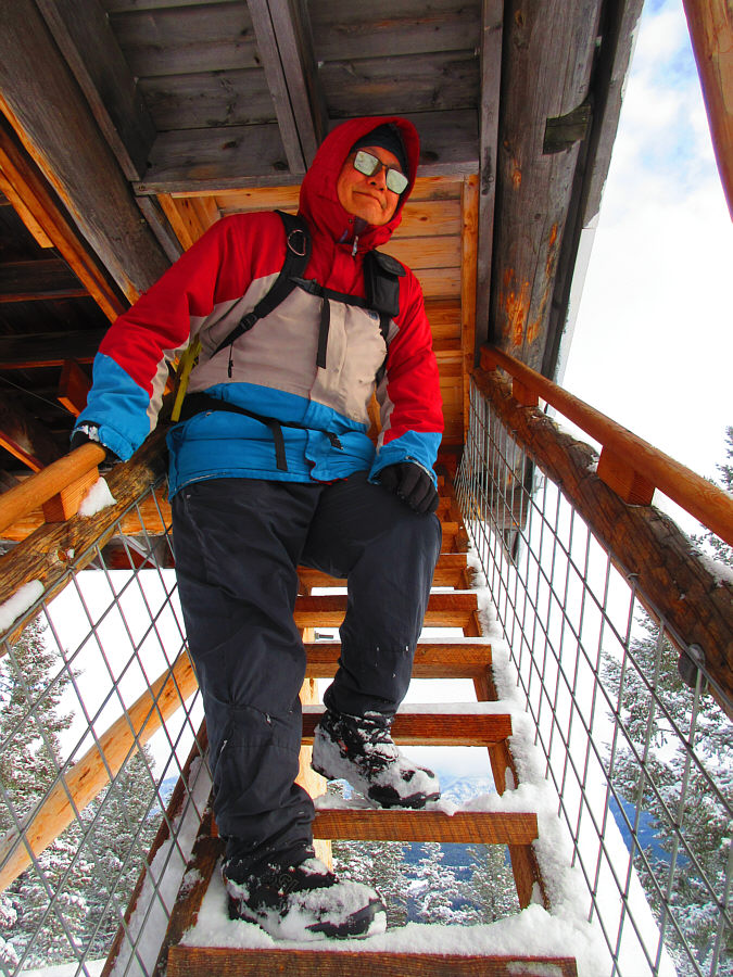
Photo courtesy of Zosia Zgolak
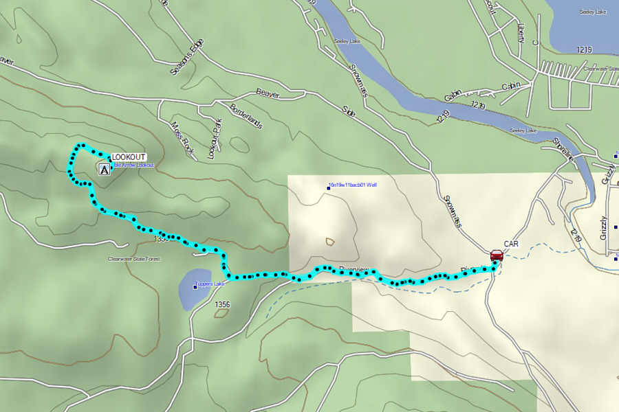
Round-Trip Time: 2 hours 42 minutes
Cumulative Elevation Gain: 260 metres
|
|
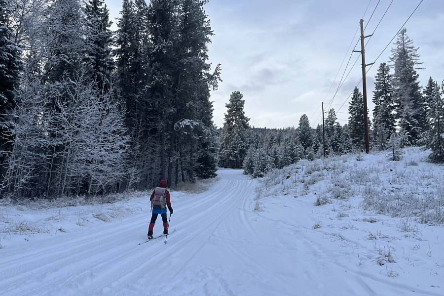
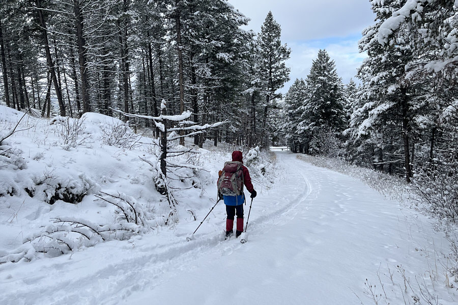
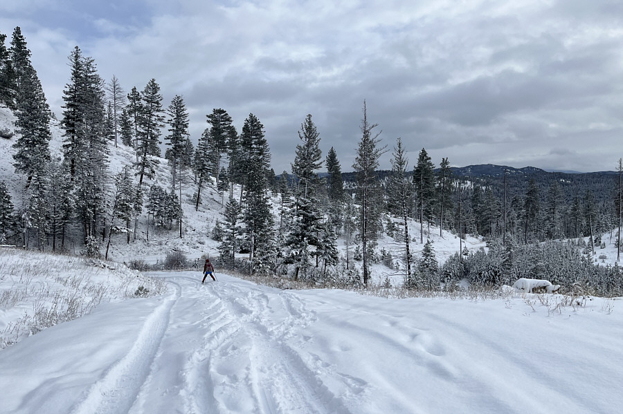
Zosia skis along the continuation of Riverview Drive which is not plowed beyond this point. |
|
|
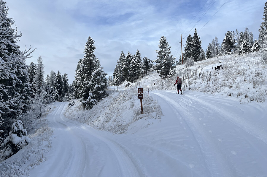
Occasional signs help point the way to the lookout. |
|
|
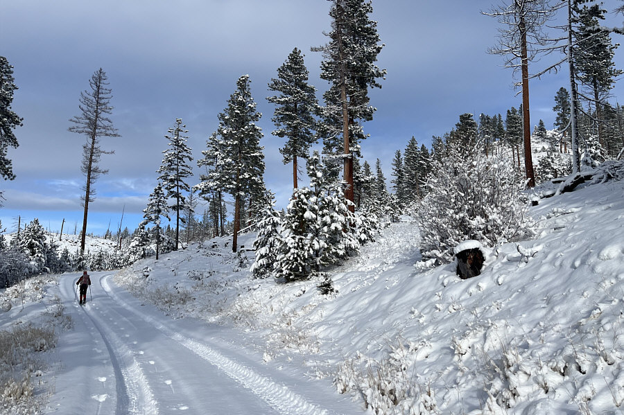
The lookout is somewhere atop the hill at far right, but the road takes a longer and more gradual line of ascent around the backside. |
|
|
Zosia passes a locked gate just before the top. |
|
|
With Double Arrow Lookout locked up on
this day, this is as far as Sonny can climb up. Photo courtesy of Zosia Zgolak |
|
|
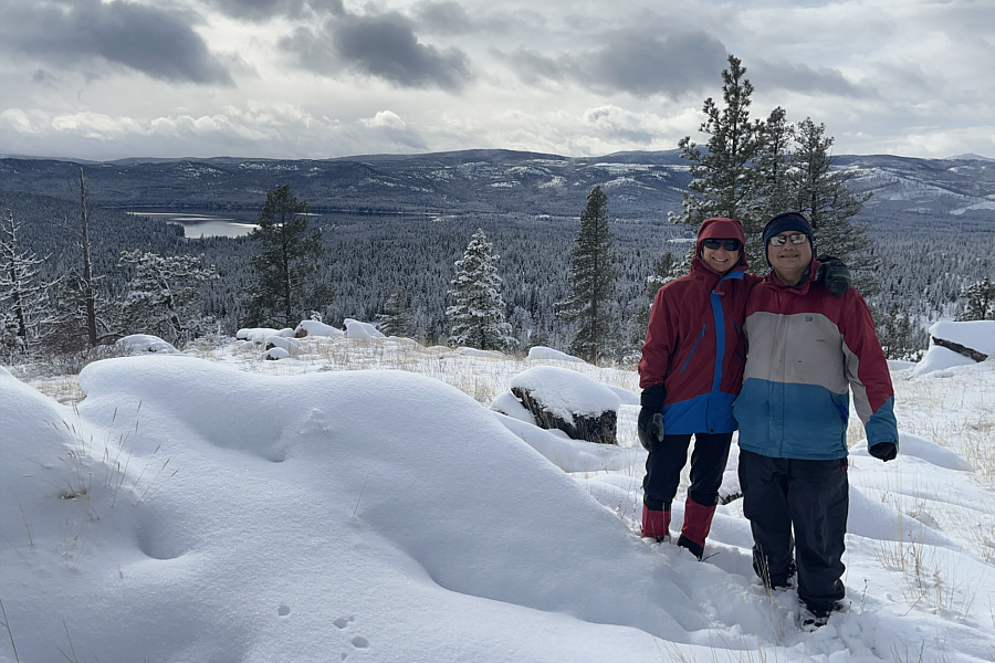
Zosia and Sonny stand at the site of Double Arrow Lookout (1504 metres) with Placid Lake visible in the distance. |
|
|
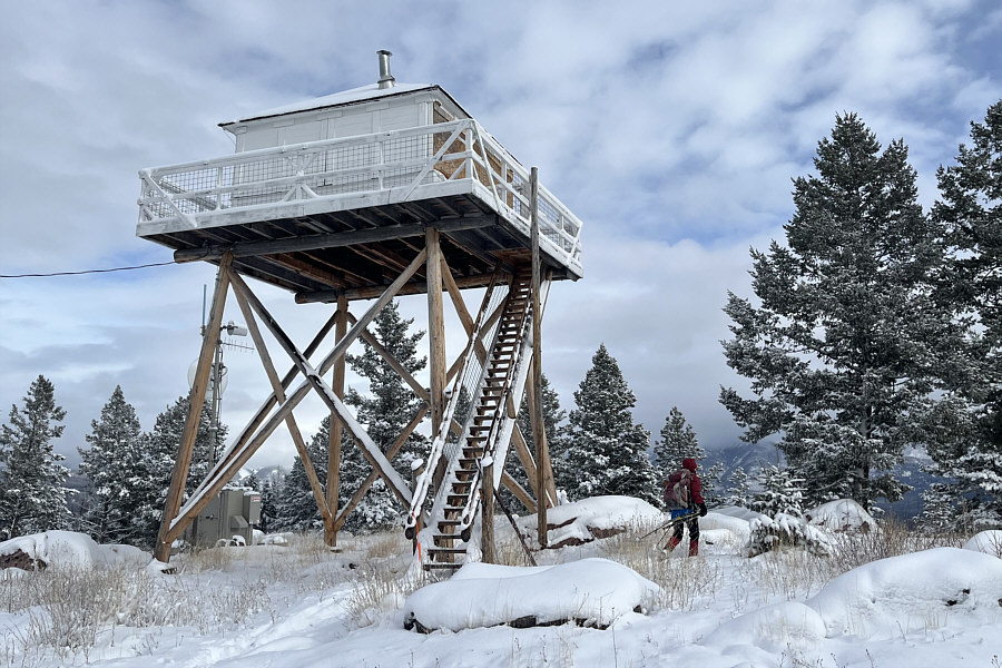
Here is a more complete view of Double Arrow Lookout. |
|
|
Zosia enjoys some powder skiing on her way back to the locked gate. |
|
|
Zosia skis cautiously down this section of road which has a few thin spots. |
|
|
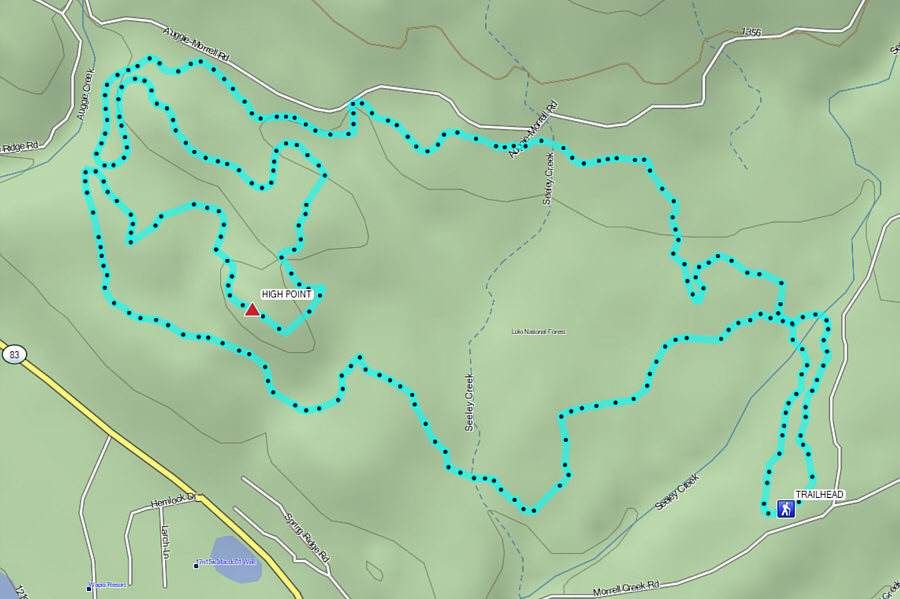
Total Distance: 8.2 kilometres Round-Trip Time: 2 hours 42 minutes Cumulative Elevation Gain: 260 metres |
From Highway 83 in Seeley Lake, turn east onto Morrell Creek Road 24.1 kilometres north of the junction with Highway 200 or 122.0 kilometres south of the junction with Highway 35. Drive 1.7 kilometres and turn left into the trailhead parking lot.
Zosia and I basically skied a clockwise loop of most of the perimeter trails and those rated as "most difficult" which, in my opinion, were no worse than the "blue" trails in our home playground of Peter Lougheed Provincial Park (ie. no "killer hills"). On this day, most of the trails were groomed but not track-set, and while there were other skiers here, the trail network never felt busy. Admittedly, the groomed trails felt a little mundane after our outing to Double Arrow Lookout, and I also began to feel fatigued on the back half of our loop. Nevertheless, we enjoyed skiing the trails here, and for our hard work, we later rewarded ourselves with dinner at the Chick-fil-A in Missoula.
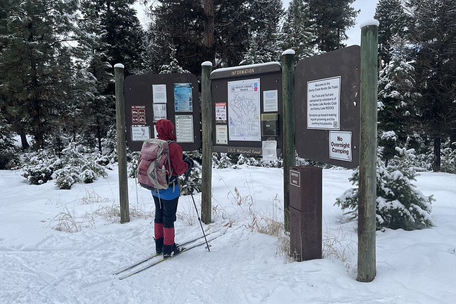 |
Zosia studies the map at the trailhead for Seeley Creek Nordic Ski Trails. |
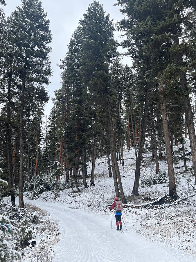 |
Zosia ascends one of the many hills in the trail network. |
 |
Zosia skis over the unremarkable high point (1332 metres) of the trail network. |
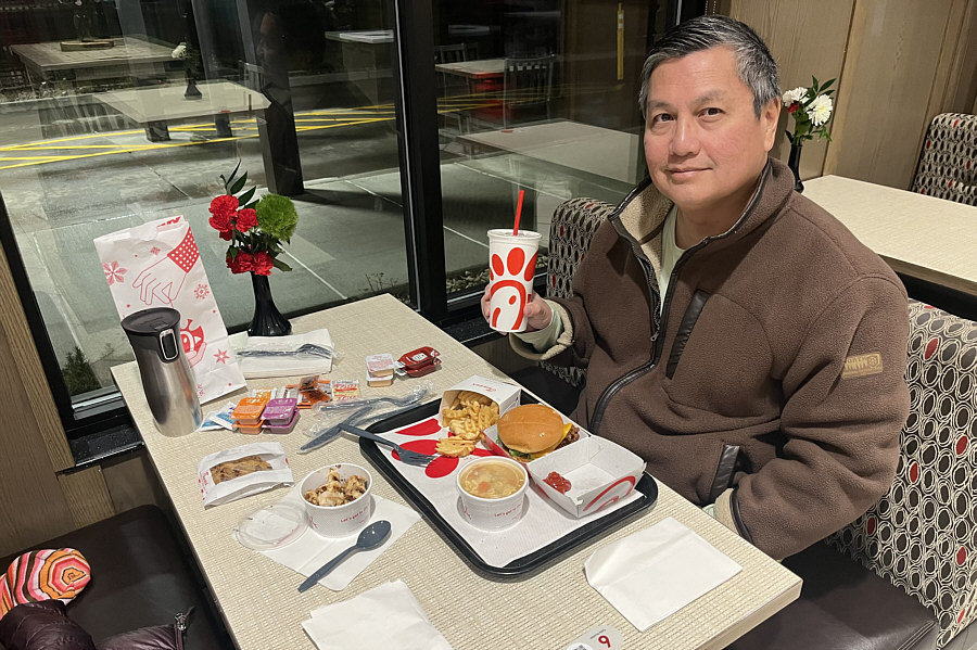 |
Later in the evening, Sonny has dinner for the first time ever at Chick-fil-A. |
 |
Total Distance: 13.0 kilometres Round-Trip Time: 2 hours 46 minutes Cumulative Elevation Gain: 130 metres |