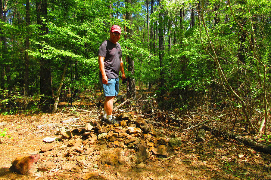
This pile of rocks marks the summit of Driskill Mountain (166 metres).
Photo courtesy of Zosia Zgolak
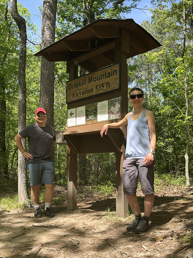
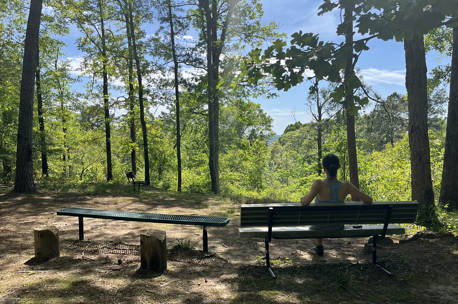
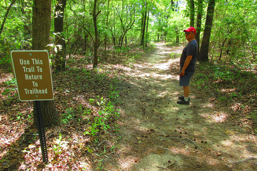
Photo courtesy of Zosia Zgolak
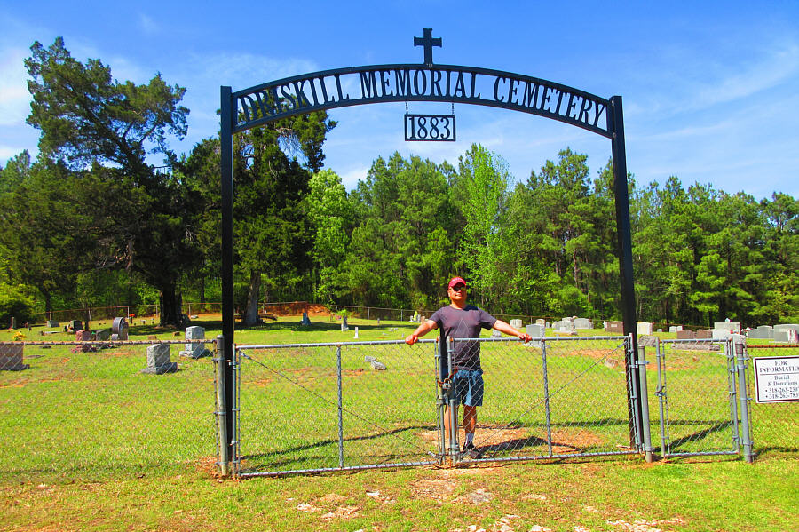
Photo courtesy of Zosia Zgolak
Round-Trip Time: 59 minutes
Net Elevation Gain: 35 metres
|
|
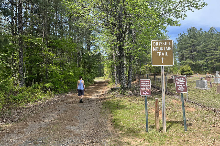
Zosia starts hiking along a road beside a cemetery. |
|
|
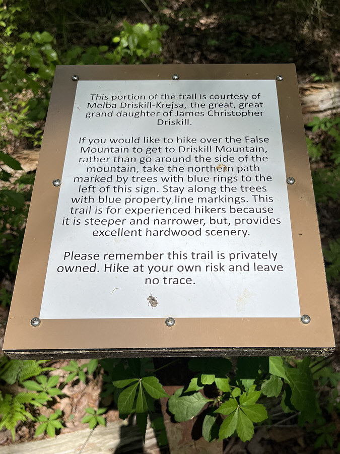
A sign helps visitors choose an appropriate route to the top of Driskill Mountain. |
|
|
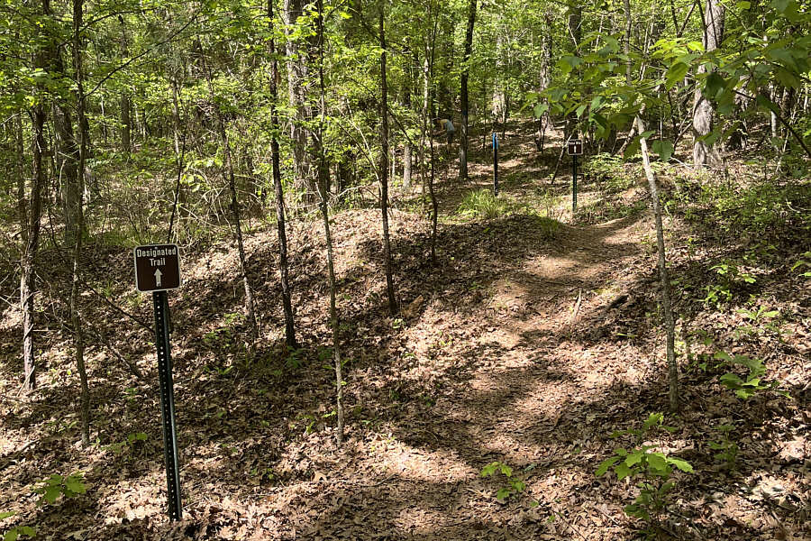
This is the trail which goes over "False Mountain", a subsidiary ridge. |
|
|
This pile of rocks marks the summit of Driskill Mountain (166 metres). Photo courtesy of Zosia Zgolak |
|
|
Sonny and Zosia stand beside the summit sign board and register. |
|
|
Zosia relaxes on a bench just west of the summit. |
|
|
Leaving the summit, Sonny chooses the
road not taken. Photo courtesy of Zosia Zgolak |
|
|
Sonny stops by the cemetery at the
trailhead before leaving the area. Photo courtesy of Zosia Zgolak |
|
|
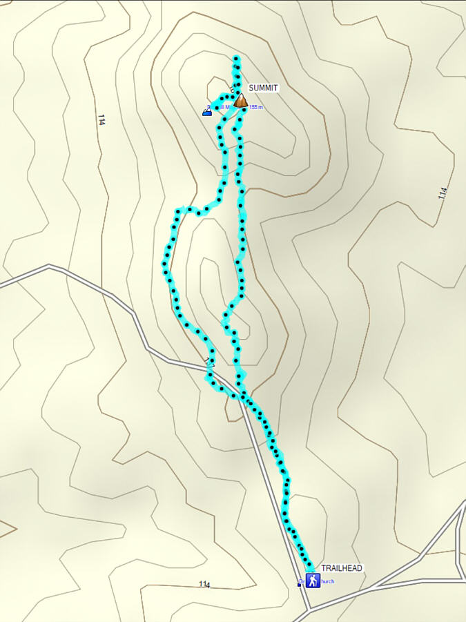
Total
Distance: 3.4 kilometres Round-Trip Time: 59 minutes Net Elevation Gain: 35 metres |