BOU AVENUE
Mount Eddy

On 13 August 2024, Zosia Zgolak and I hiked up Mount Eddy located near the northern edge of California's Shasta-Trinity National Forest.  My original plan was to attempt an ascent of nearby Mount Shasta, but after some research and discussion with Zosia, we decided that it would be prudent to put that plan on hold since the climbing window for the mountain had pretty much closed for the season (rockfall hazard becomes significant on Mount Shasta in August).  Instead, we settled for a much simpler outing on Mount Eddy which is easily ascended via a good trail.

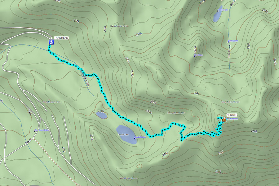
From I-5, take exit 751 and follow signs westward for Stewart Springs Road to a T-junction.  Turn right and drive 600 metres before turning left onto Stewart Springs Road.  Drive 6.3 kilometres and turn right at a split.  Drive 14.8 kilometres and pass Parks Creek trailhead (vault toilet available) which is an alternate starting point for the hike to Mount Eddy but entails a longer approach.  Drive another 2.1 kilometres to the parking lot for Deadfall Meadow trailhead (no facilities).  The signed trail starts on the opposite side of the road from the parking lot.  The entire access road is paved and suitable for 2WD vehicles.

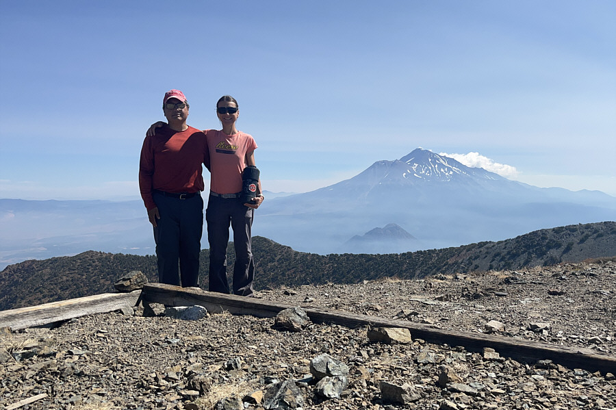
From the trailhead, Zosia and I crossed an initial boggy section before settling into a steady but pleasant climb up the trail to Deadfall Lakes.  Early in the proceedings, we spooked a small grizzly bear which bounded away before we had a chance to snap a photograph.  We affectionately nicknamed the bear, "Boo-Boo".  After crossing an intersection with the Pacific Crest Trail, we wound our way past several of the Deadfall Lakes before climbing up to a junction high on the southwest shoulder of Mount Eddy.  Turning left at the junction, we ascended multiple switchbacks going up the broad southwest ridge and finally topped out at the ruins of an old fire lookout.  We then wandered over to the west end of the summit ridge for an aerial view of the Deadfall Lakes before returning to the ruins to take an extended break.  Although we missed out on climbing Mount Shasta, we were still fortunate to enjoy clear views of the mountain from the summit of Mount Eddy.

For our return trip, Zosia and I simply retraced our steps all the way back to the trailhead.  Sadly, we did not see Boo-Boo again on our descent.
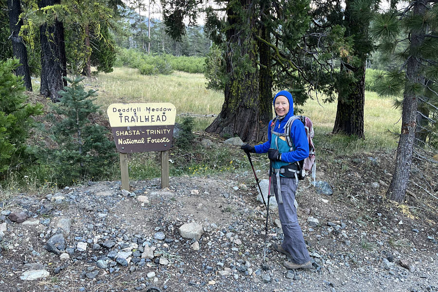
Hopefully, there's not too much deadfall! The shortest route to Mount Eddy begins at this trailhead.
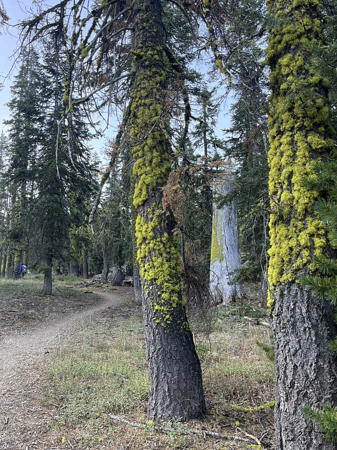
Tree cushions?

Some interesting moss grows on the trees along the trail.

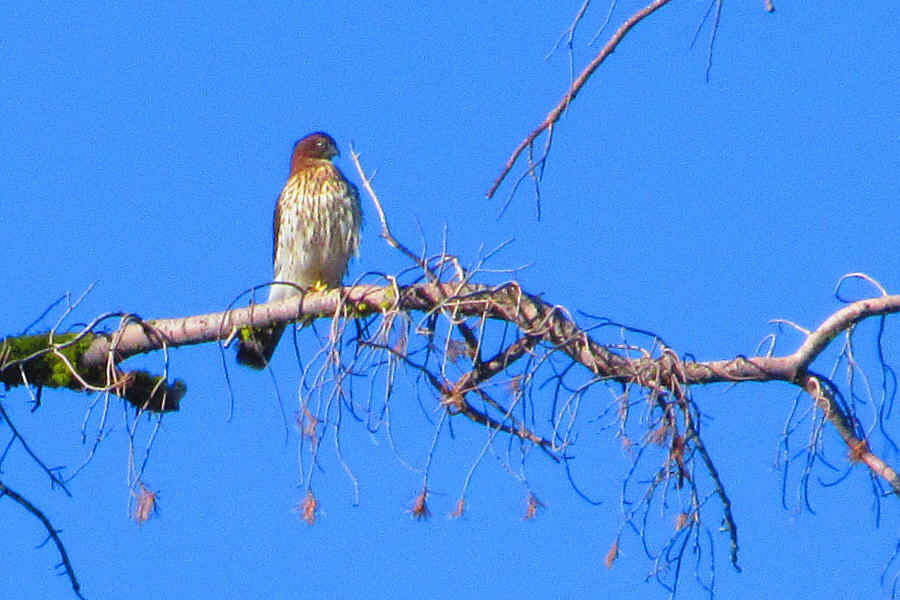
Looks kinda mean! This hawk appears to be focused intently on something on the ground.

Photo courtesy of Zosia Zgolak

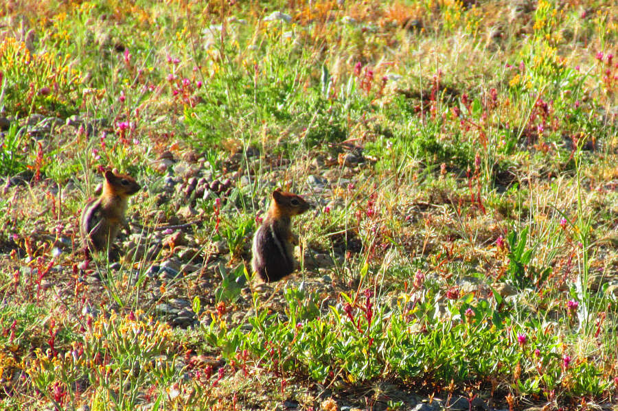
Breakfast for the hawk? A couple of golden-mantled ground squirrels cautiously emerge from their dwelling in the ground.

Photo courtesy of Zosia Zgolak

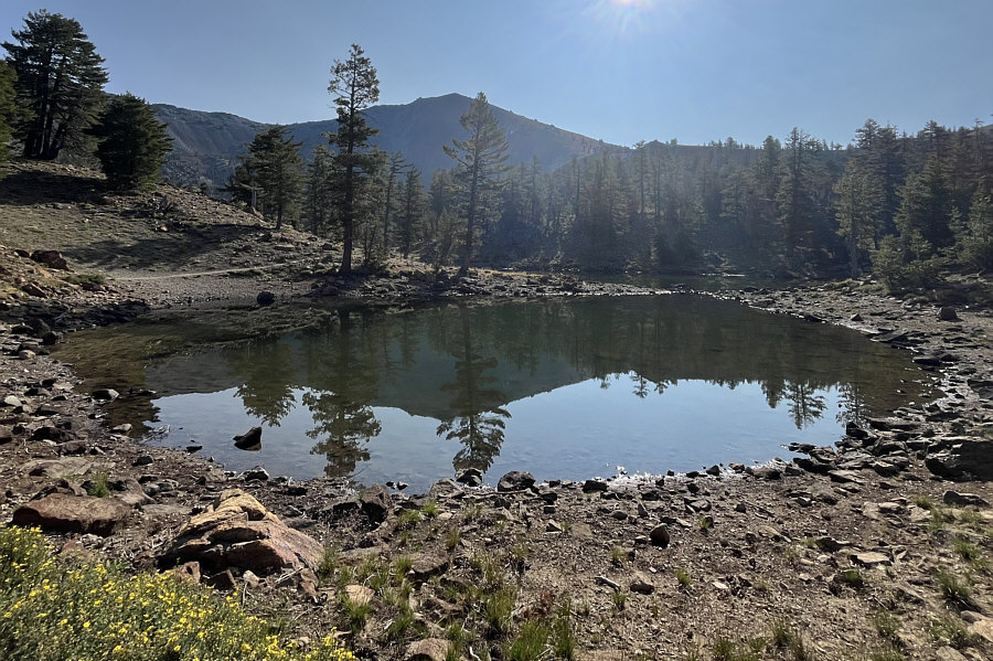
This lake is not quite as charming as some of the other ones!

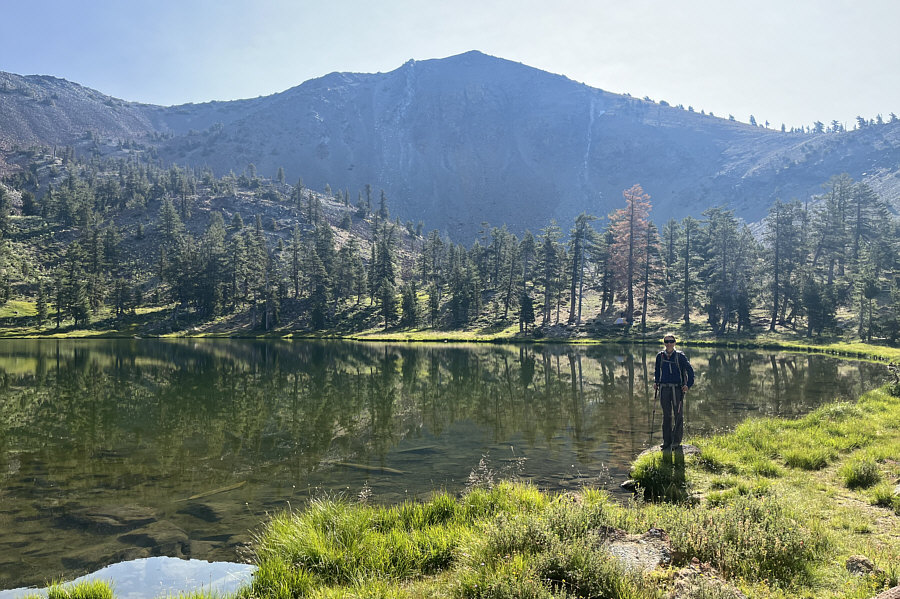
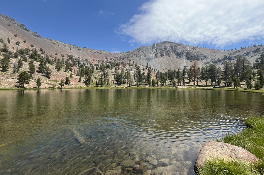
Mount Eddy is reflected in one of the smaller Deadfall Lakes.

Great campsites here! Zosia pauses beside the last lake before climbing up the right skyline ridge.
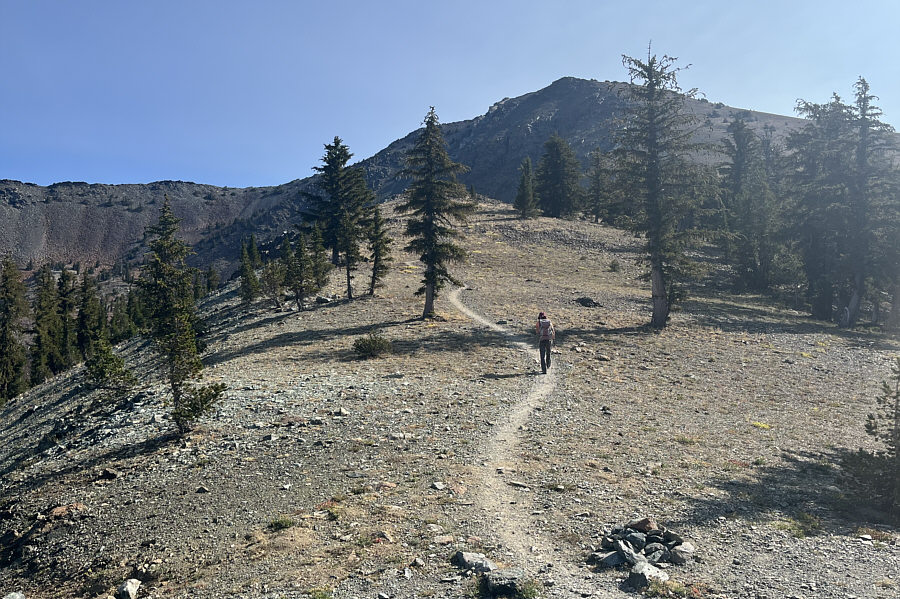
Don't be fooled by how close the summit looks. There are still over 300 metres of elevation left to gain. Zosia heads uphill from the last junction before the summit.
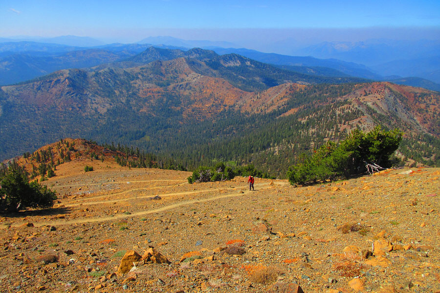
Very tempting to short-cut all this on the way down!

Sonny plods up a seemingly endless number of switchbacks on the southwest ridge.

Photo courtesy of Zosia Zgolak

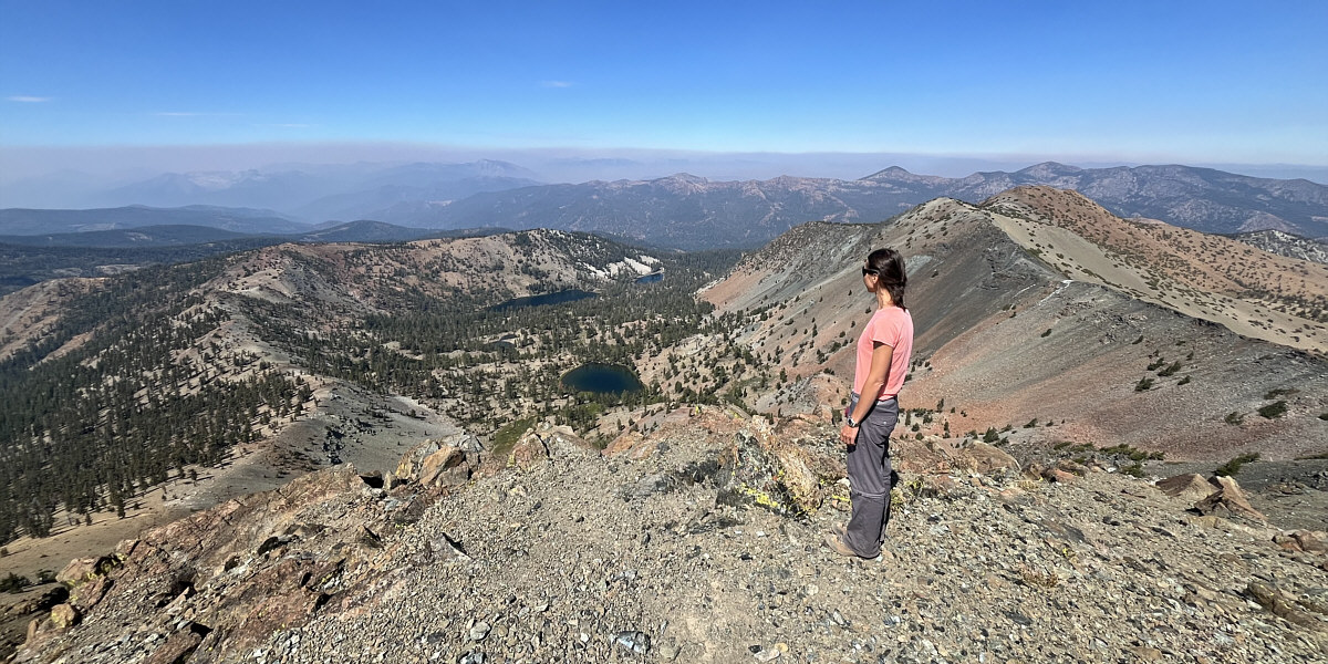
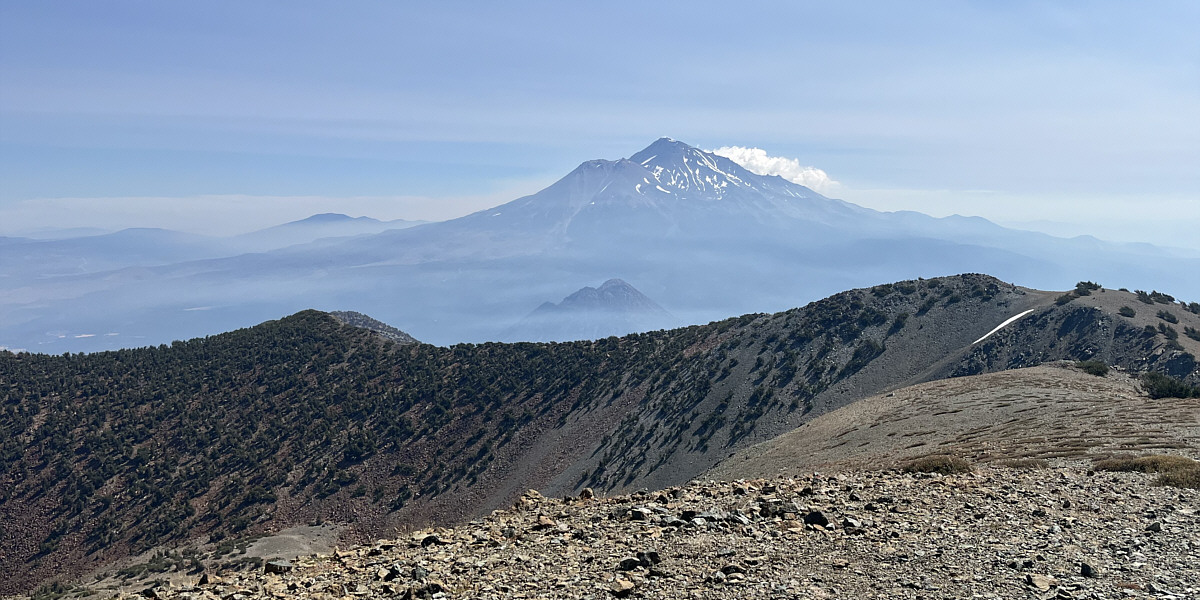
Fantastic views for only modest effort!

Zosia enjoys an aerial view of Deadfall Lakes from the west end of the summit ridge.


Too late in the season for Shasta? Eddy is a nice consolation prize. Sonny and Zosia stand near the summit of Mount Eddy (2754 metres) with Mount Shasta in the background.

We'll be back...maybe next year!

Mount Shasta deserves another look.  The diminutive peak directly in front of Mount Shasta is Black Butte.


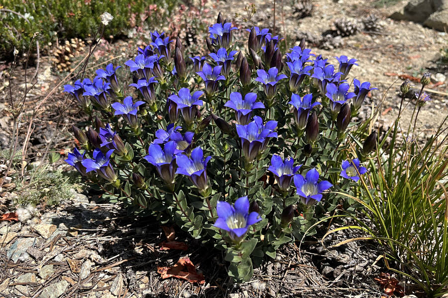
Very pretty! These flowers are some sort of mountain gentian.
Paradise? Here is a last look at Mount Eddy from one of the Deadfall Lakes.
Easy access, pleasant hike, awesome views...what more could you ask for? Total Distance:  13.5 kilometres
Round-Trip Time:  6 hours 56 minutes
Cumulative Elevation Gain:  778 metres

GPX Data