BOU AVENUE
Enchanted Rock State Natural Area

On 31 March 2024, Zosia Zgolak and I visited Enchanted Rock State Natural Area located about 27 kilometres north of Fredericksburg, Texas.  The main feature of the park is a granite dome which is possibly the most popular hiking objective in central Texas.  I had originally considered Enchanted Rock as our primary site for viewing the upcoming total solar eclipse, but after failing to secure an online day-use reservation, I was resigned to the fact that it would probably be impossible to get into the park on eclipse day.  Even on this Sunday, we were surprised to see signs saying that entry was by reservation only probably because it was the weekend.  Fortunately, the park staff at the entrance only admonished us gently for not making a reservation and allowed us to get a day-use pass anyway.

Starting from a gazebo at the trailhead, Zosia and I hiked the well-marked Summit Trail which runs more or less up the south side of Enchanted Rock.  The easy-to-follow trail was already quite busy in the morning but not overly crowded.  The trail essentially disappears on the upper half of Enchanted Rock, but travel and route-finding are still easy here (just follow the crowds!).  After tagging the summit as indicated by a survey marker, we dropped down the slope a little further to the west to check out some big boulders.  From there, we continued descending into a saddle to intersect Echo Canyon Trail, but instead of taking the trail, we climbed up the other side of the saddle to tag the summit of Little Rock, the second-highest point in the park.  We then returned to the saddle and followed Echo Canyon Trail southward to its junction with the main Summit Trail before easily hiking back to the trailhead.  Had we more time, we could have scrambled up a few more rocky high points in the park, but with a lengthy drive ahead of us to our next adventure, we decided to hit the road.
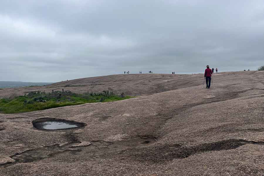
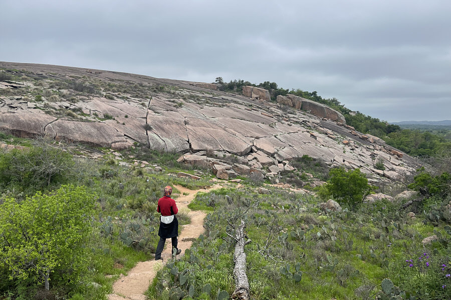
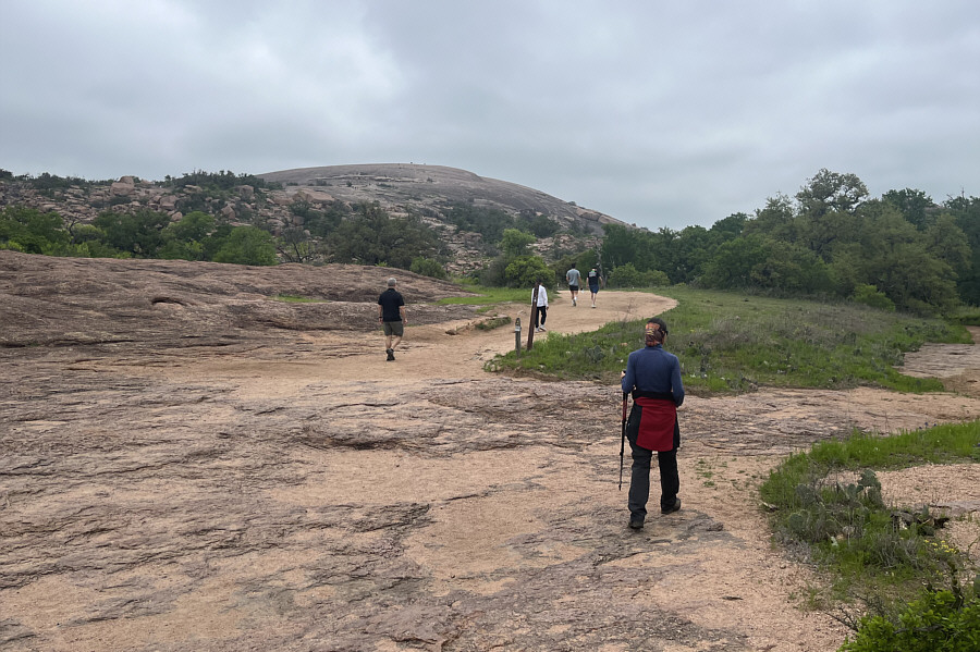
See the hikers already at the top? Zosia begins hiking the Summit Trail to Enchanted Rock.
Pretty hard to get lost here! A trail marker (left of centre) helps mark the way.
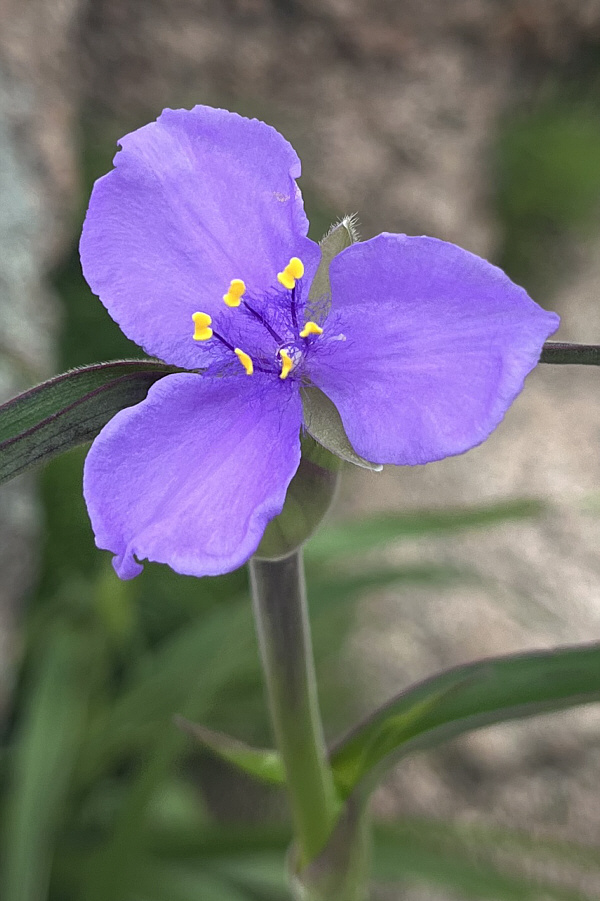
Native weed! Spiderworts are common throughout the area.
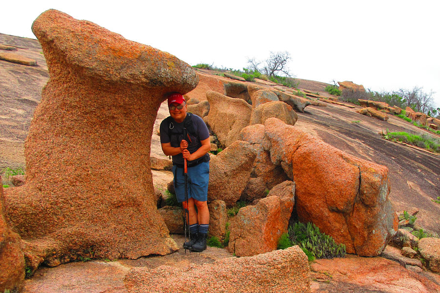
In case of rain...

Sonny finds shelter under a mushroom-shaped rock.

Photo courtesy of Zosia Zgolak
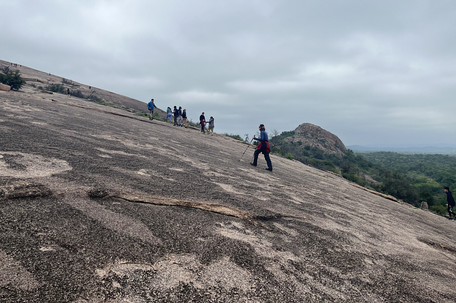
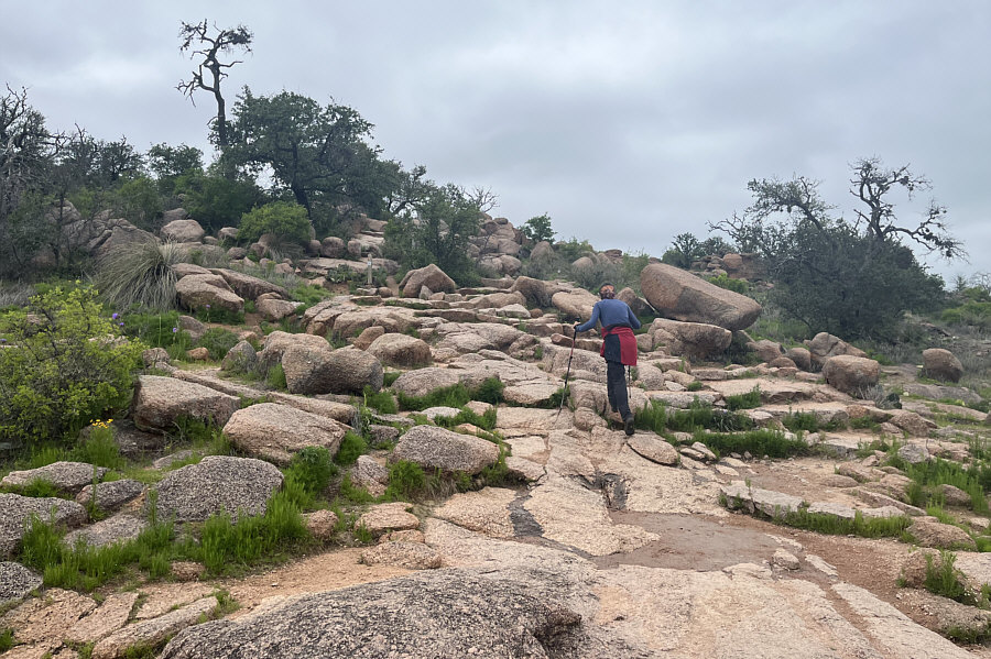
Might be tricky if there is snow...if ever. There is no defined trail on the upper mountain, but the route is straightforward to hike.
You could play soccer up here! The top of Enchanted Rock is very broad and flat.
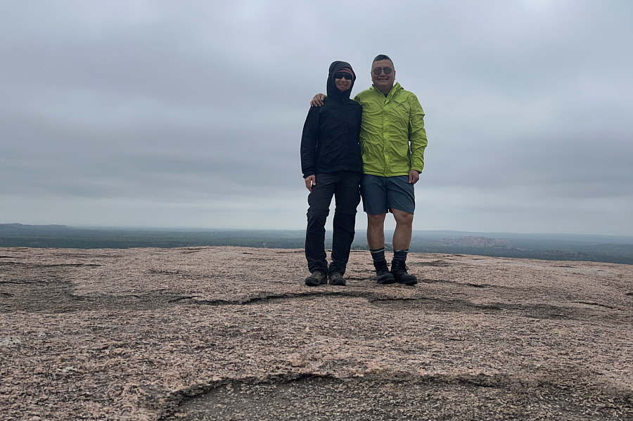
Surprisingly, no cairn! Zosia and Sonny stand on the summit of Enchanted Rock (556 metres).
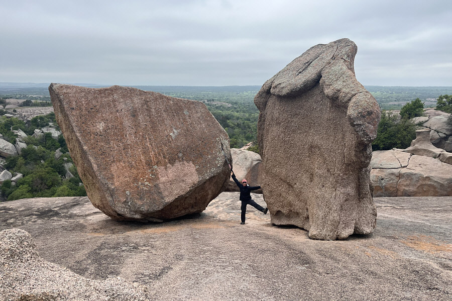
Between a rock and a hard place! Zosia wedges herself between two gigantic boulders on the west side of Enchanted Rock.
Looks easy enough to bag without any marked trails! Southwest of Enchanted Rock is Little Rock, the second highest point in the park.
The flakes of rock look like a cracked egg shell! Zosia briefly hikes the Echo Canyon Trail before ascending Little Rock.
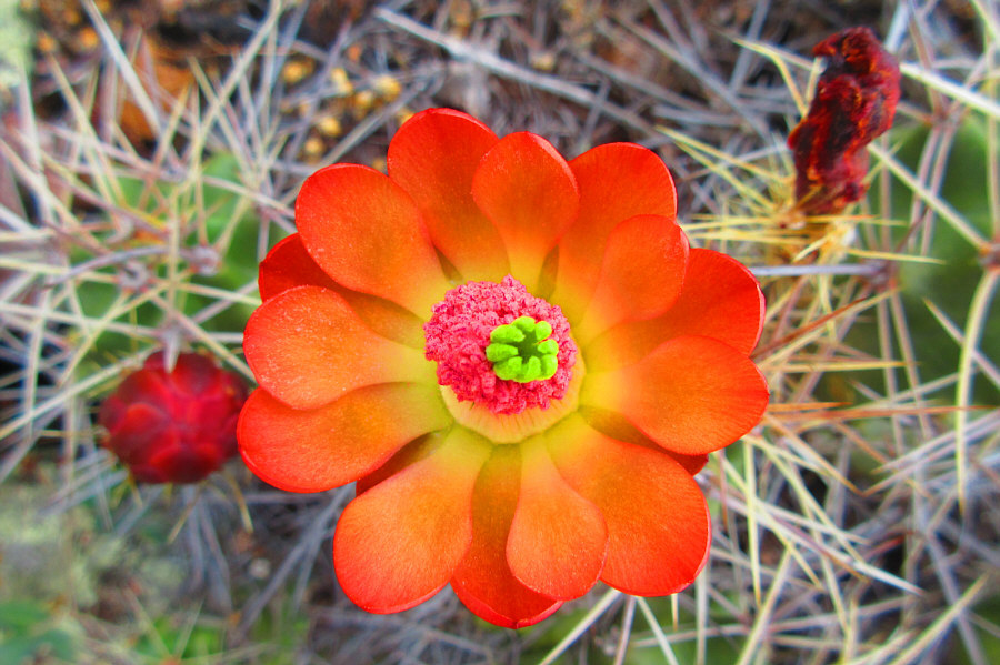
Beauty, eh? Kingcup cacti are in full bloom here.

Photo courtesy of Zosia Zgolak

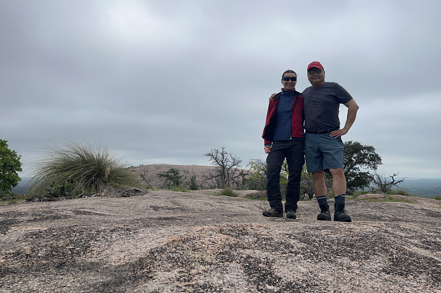
That's Enchanted Rock in the background! Zosia and Sonny stand on the summit of Little Rock (535 metres).

We would not see the total solar eclipse from here...but neither would everyone who booked a reservation here on eclipse day!

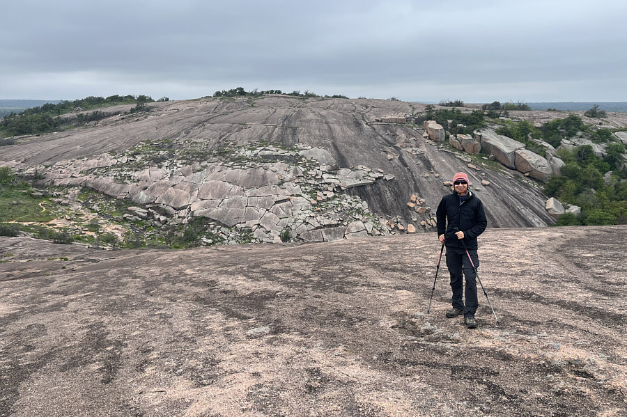
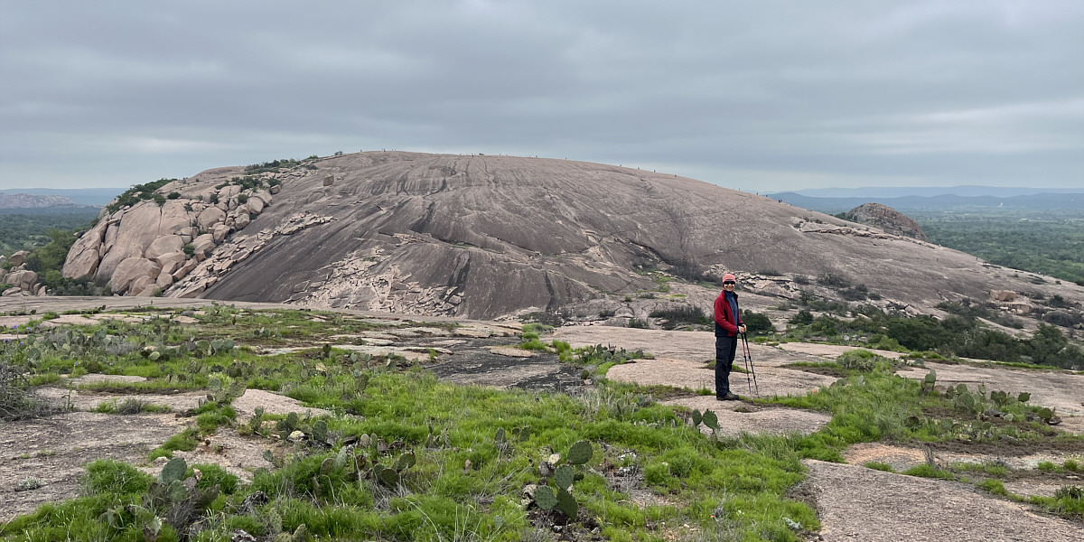
Here is a comprehensive view of Enchanted Rock from the slopes of Little Rock.
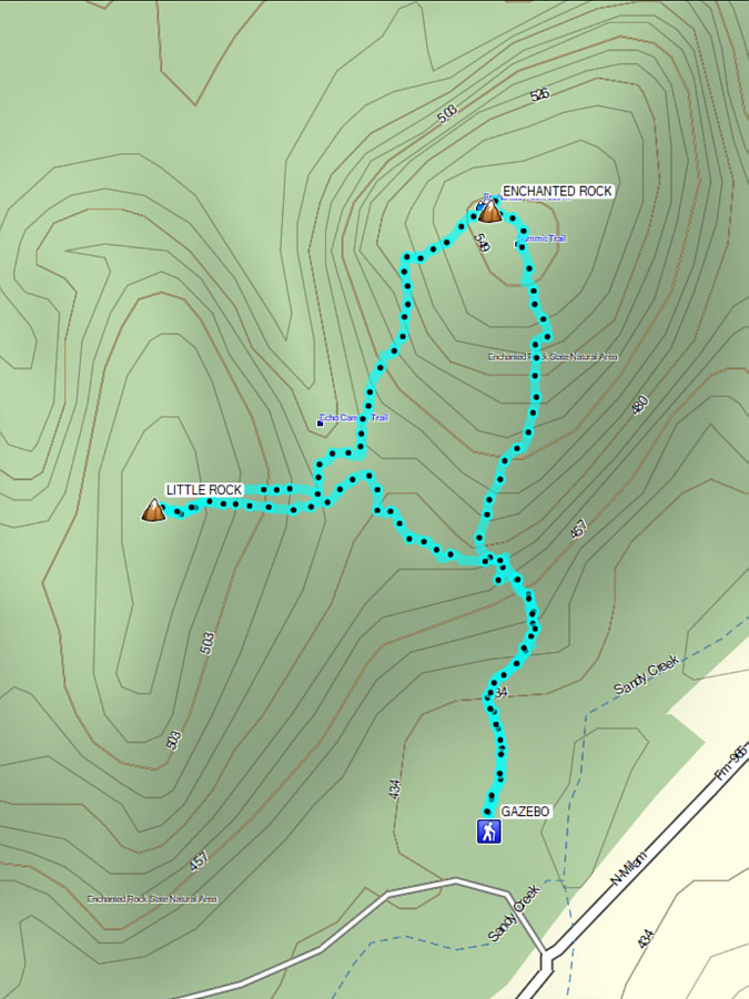
 

Extremely popular hiking objective in central Texas...'cause there's really nothing else to climb! Total Distance:  3.0 kilometres
Round-Trip Time:  1 hour 32 minutes
Cumulative Elevation Gain:  155 metres

GPX Data