BOU AVENUE
Engle Peak
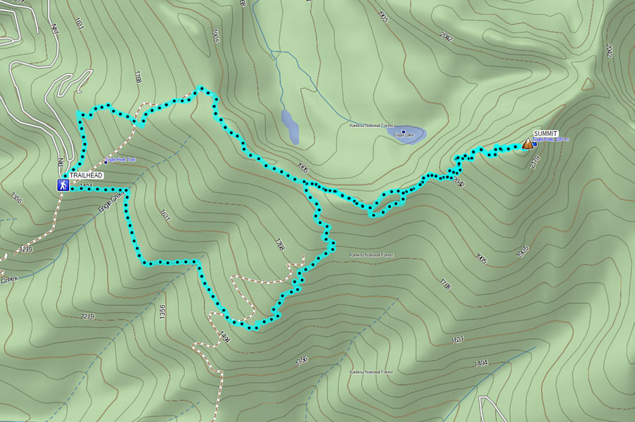
On 13 October 2024, Zosia Zgolak and I climbed Engle Peak in Montana's Cabinet Mountains Wilderness.  An excellent trail runs all the way to the summit, and relatively easy access along with rewarding scenery make Engle Peak a fairly popular hiking objective.  Unfortunately, I have this bad habit of being a bit careless with my route planning when it comes to easy Class 1 ascents, and Engle Peak would prove to be one of my worst blunders in this regard.  To be fair, I was largely led astray by the map in my phone's GPS application which had the trailhead marked in the wrong location.  Even worse, the critical first 850 metres of the correct approach trail--Engle Lake Trail (FT 932)--is missing from the same map while a forestry road (FR 2787) can be seen connecting the erroneously marked trailhead with another trail (FT 926) that ultimately leads to the summit of Engle Peak.  Ideally, I should have scrutinized the reports on Peakbagger.com a little more closely and also printed a copy of the trail description and map from the Kootenai National Forest website, but up until this trip, I had never had a reason to doubt the accuracy of the map in my phone.  At least I managed to get the driving directions right.

From Highway 200, turn north onto Government Mountain Road (ironically with signs pointing to "Refuse Site") 11.0 kilometres southeast of the junction with Highway 56 or 96.0 kilometres northwest of the junction with Highway 28.  Drive 400 metres and turn right onto Forestry Road 150 (2WD gravel).  Drive 7.4 kilometres and turn right onto Forestry Road 2285 (still 2WD gravel).  Drive 11.0 kilometres to road's end at Engle Lake Trailhead (no facilities).  Note that there are two decommissioned roads here--one heading north and one heading south (FR 2787).  FT 932 immediately splits off to the right from the road heading north (there should be an information sign board a short distance up the trail).

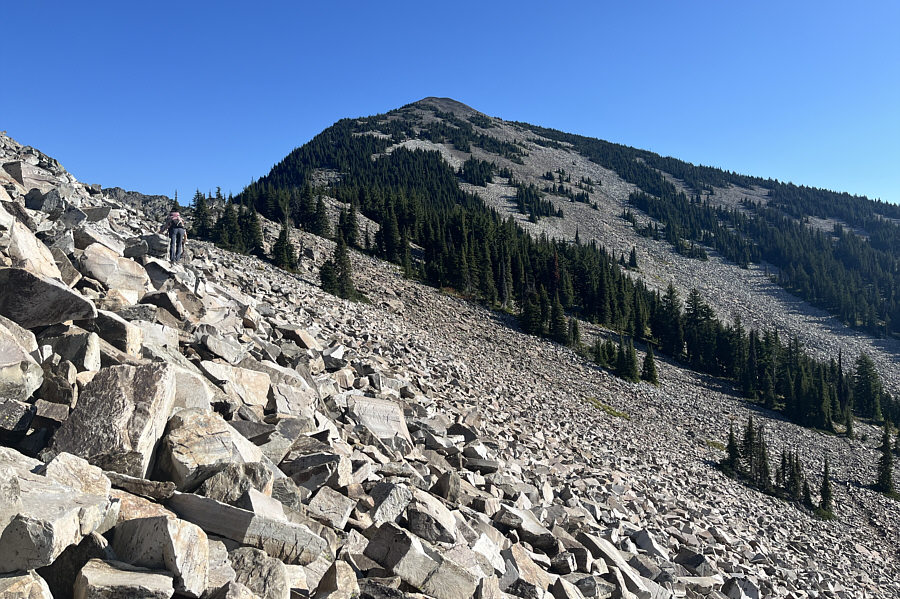
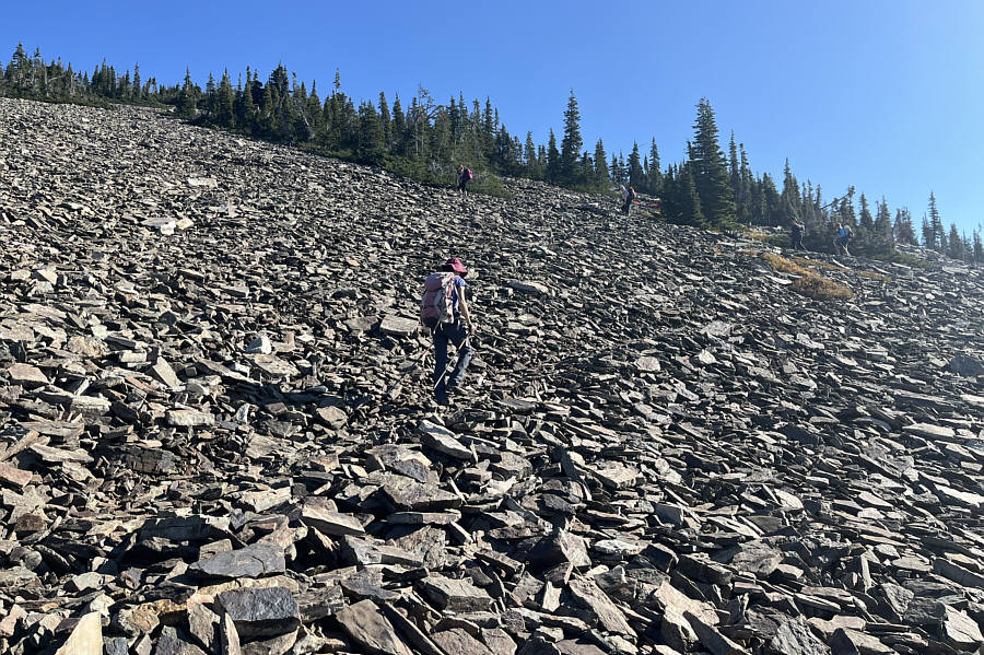
Right off the bat, Zosia and I went the wrong way along the decommissioned road heading south.  Initially, travel was easy with very little elevation gain, and we even had some nice views of distant mountains.  As we traveled further south however, the road became increasingly overgrown and choked by alders.  At one point, we abandoned the road to try and avoid the alders, but the toothpick deadfall that we encountered was so heinous that we quickly retreated back to the reclaimed road.  Ultimately though, the road simply became impassable, and we had no choice but to thrash uphill through the miserable deadfall.  What was supposed to be an easy walk-up was turning into a real epic.  A lot of miserable bushwhacking ensued, but shortly after regaining the alder-choked road higher up the slope, we were surprised to stumble onto an overgrown but distinct trail.  This turned out to be FT 926 which is an alternate approach for Engle Peak but likely seldom hiked since it starts almost from the valley bottom.  In any case, we were delighted just to have a trail to follow, and we had no further issues ascending the remainder of FT 926 to its junction with FT 932, the trail we should have been on in the first place.  Turning right, we hiked FT 932 to where it temporarily drops off the crest of Engle Peak's west ridge.  This part of the ridge crest is comprised of a large talus field, and for some odd reason, the trail was built to cross it at a lower elevation before rising up again in the forest beyond.  Taking a suggestion from one of the reports on Peakbagger.com and loathe to lose hard-won elevation, we opted to leave the trail and stay high on the ridge crest.  Although traversing the talus field was not technically difficult, it turned out to be quite tedious since we had to be extra careful with our footing on the jumbled rocks, some of which were annoyingly unstable.  When we regained the trail on the other side, we both agreed that it would be better to skip the short cut for our return trip.  Shortly after, we reached the junction with FT 932A which is the trail to Engle Peak's summit (FT 932 drops off the ridge to arrive at Engle Lake).  From there, the remaining 300-metre climb is very straightforward, and we had no further troubles reaching the summit.

Sharing the summit with four local women and their two friendly dogs, Zosia and I took an extended break there before leaving them to commence our descent.  We backtracked along FT 932A, and when we regained FT 932, we stuck to the trail as planned to get through the talus field.  This entailed some extra elevation gain, but that was preferable to stumbling about on awkward boulders.  Passing the junction for FT 926 with looks of disdain, we continued following FT 932 over a minor hump before dropping off the ridge and losing elevation quickly.  In contrast to all the suffering we endured during our ascent, descending FT 932 was a cakewalk as we easily cruised back to the correct trailhead.  We subsequently drove to the city of Libby where we stopped for a celebratory dinner to wrap up a crazy day full of highs and lows.
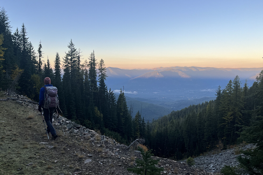
Sorry, my bad, Zosia! Unbeknownst to Zosia, following this decommissioned road is not the best way to climb Engle Peak.
Sucker's route!

The decommissioned road initially seems promising as it offers some far-reaching views.

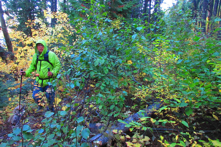
WTF? Sonny is bewildered by how overgrown the road has become.

Photo courtesy of Zosia Zgolak

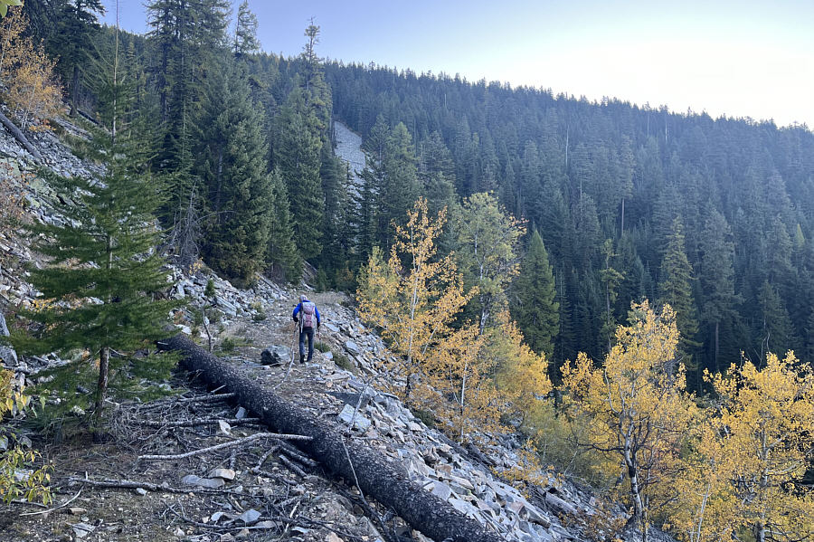
At this point, we should have scrambled up the narrow corridor of talus ahead! Another open section of road gives the impression that this is the correct route for ascending Engle Peak.
Something is definitely NOT adding up here!

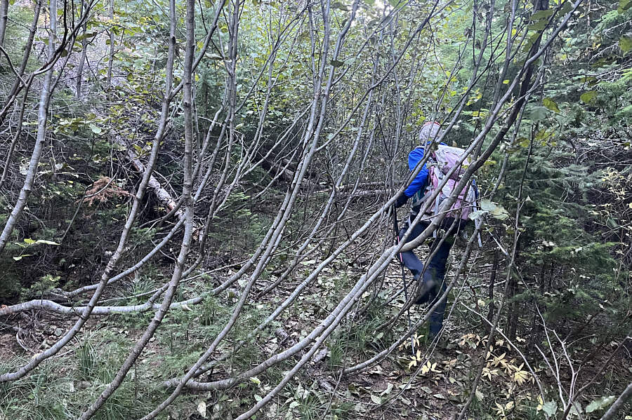
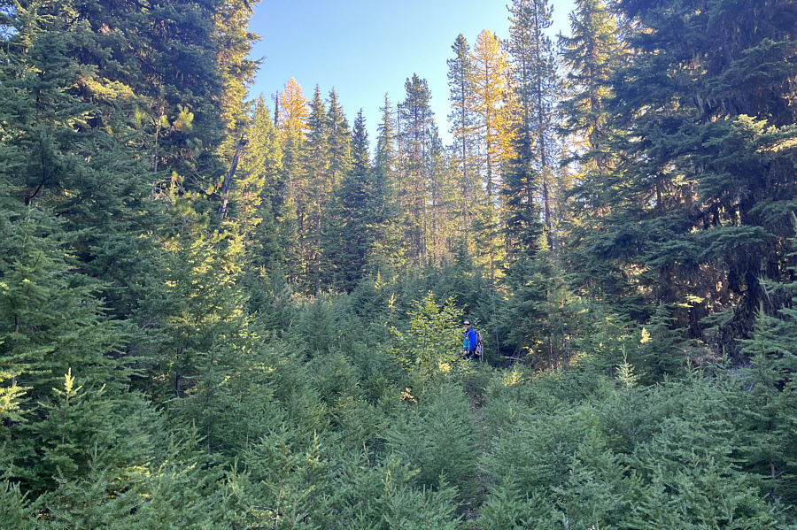
Ultimately, the road becomes completely choked with alders and is practically impassable.

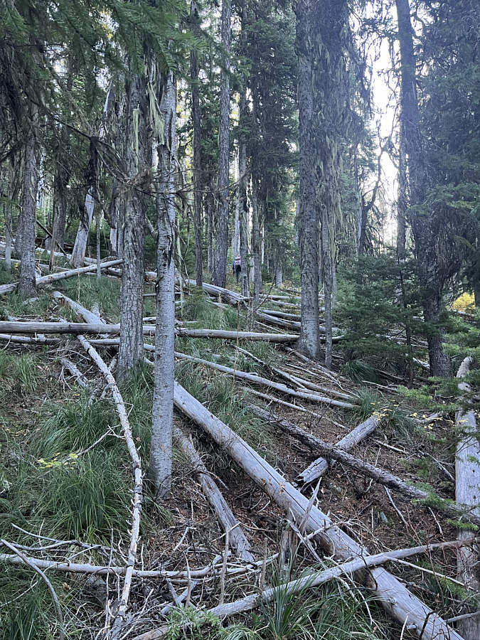
F**k this f**king f**cker of a f**cked up route!!! Going off-trail above the reclaimed road is hardly better with all the toothpick deadfall.
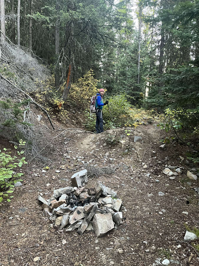
Looks promising again... Zosia stumbles upon a faint trail (FT 926) running along the same reclaimed road higher up the mountain.
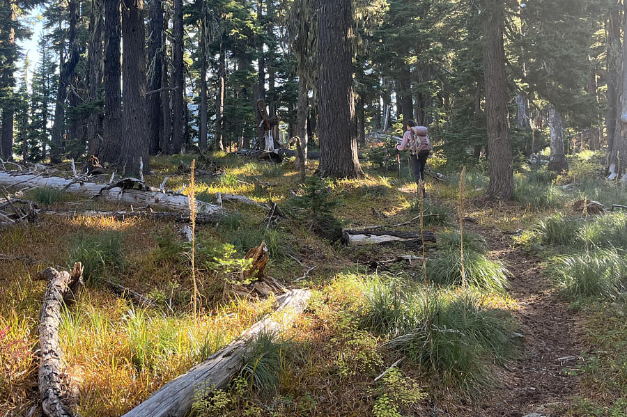
I wonder when was the last time someone actually set foot on this trail... Zosia makes better progress climbing up FT 926.
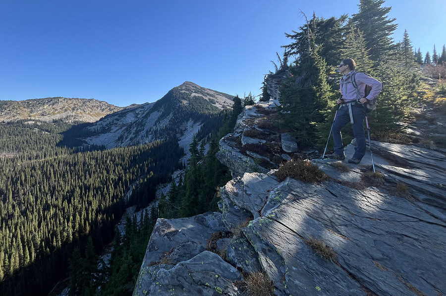
Took us 3 hours just to get here. Had we taken the correct route, we might already be on the summit by now! After intersecting Engle Lake Trail (FT 932), Zosia gets her first good look at Engle Peak (centre).
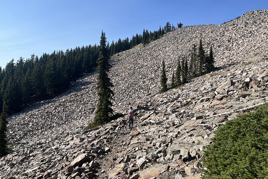
Not worth it--it's better to stick to the trail. Zosia takes a questionable short cut across this talus field in an effort to avoid significant elevation loss along FT 932 which can be seen at bottom right.
The four women ahead of us came up the correct trail (FT 932)! After passing the junction for Engle Lake, Zosia climbs a series of switchbacks on the final rise to the summit.
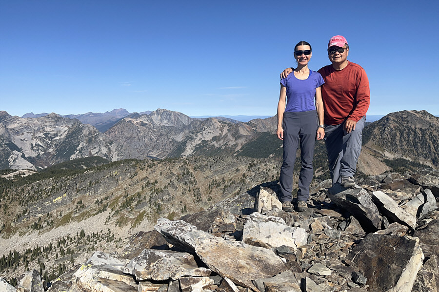
Still made it despite my bone-headed route-finding! Zosia and Sonny stand on the summit of Engle Peak (2315 metres).

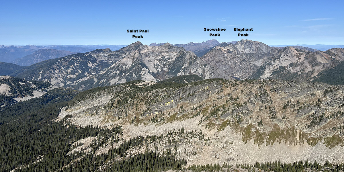
Looks like another worthwhile future objective!

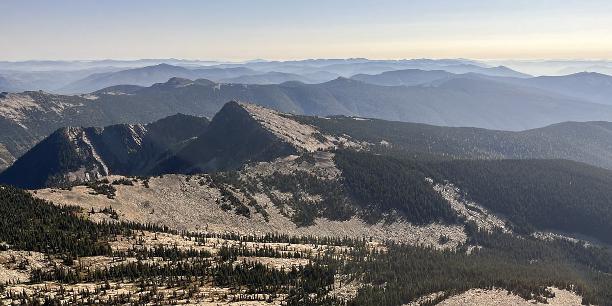
The shapely pyramid just to the southeast is Goat Peak.
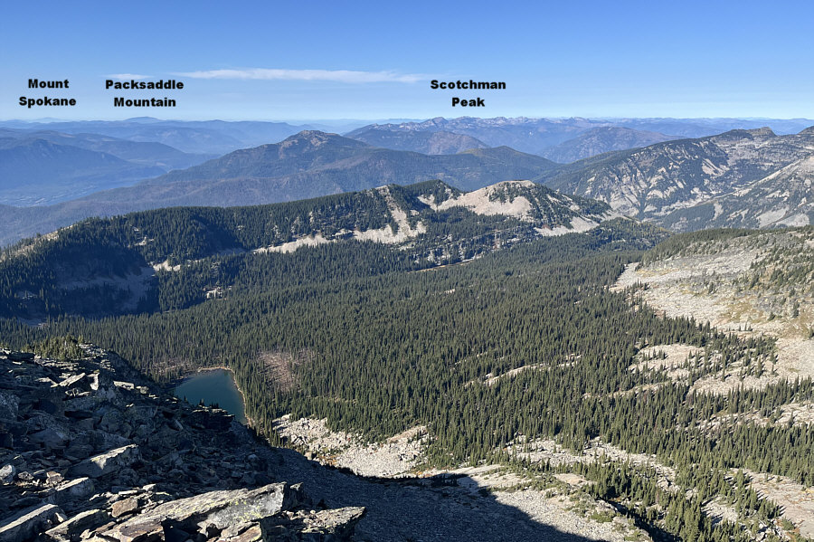
 

Engle Lake doesn't look like it's worth the extra effort--descending and then climbing back up--to visit! Part of Engle Lake can be seen in this view to the west.

Another possible site to explore in the future...

A little sliver of Rock Lake (right and below Elephant Peak) can be seen to the north.
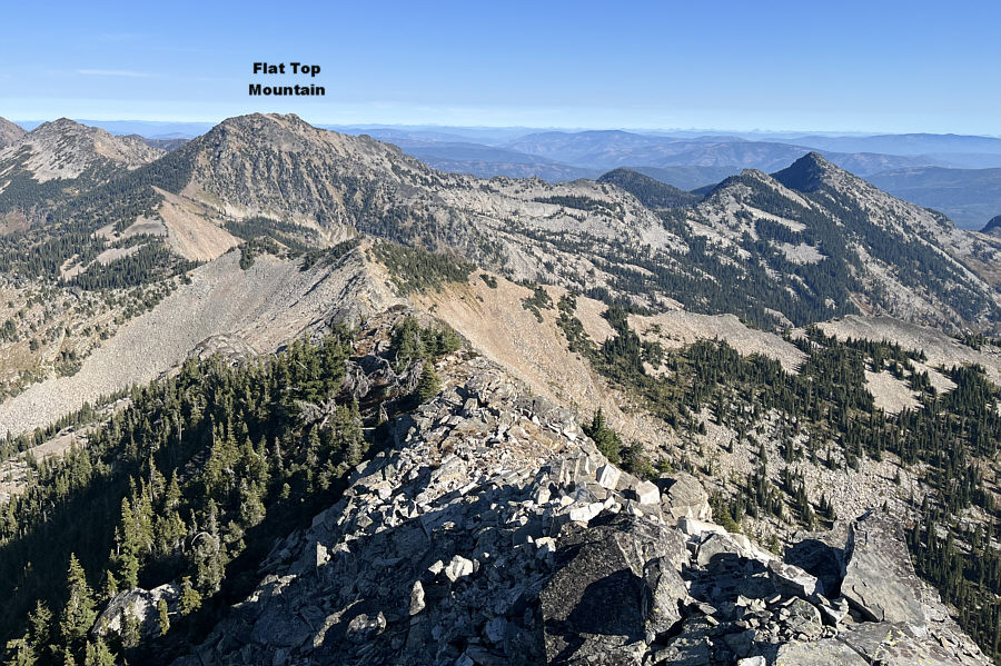
 

It would be long, but it looks like you could even traverse all the way to Flat Top Mountain from here. To the northeast, many of the peaks in and around Glacier National Park are barely visible on the right horizon.
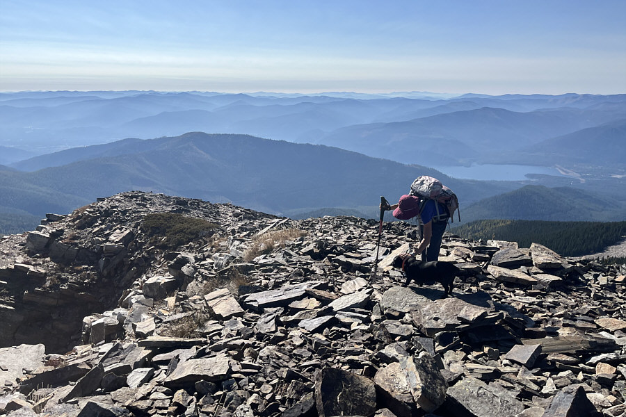
That's Howie (dog belonging to one of four women we met at the summit). Noxon Reservoir is the most recognizable feature to the southwest.
Much better than going off-trail here! For the return across the talus field, Zosia sticks to the main trail (FT 932).
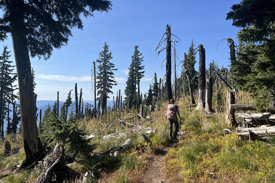
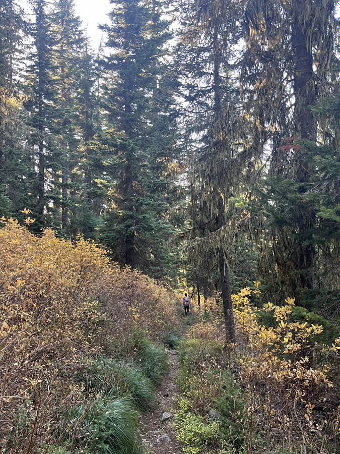
This was new territory for us since we didn't come this way. Zosia passes through an old burn while hiking out along FT 932.
Sigh...if only I had known to come this way... Zosia loses elevation quickly and easily while descending FT 932.
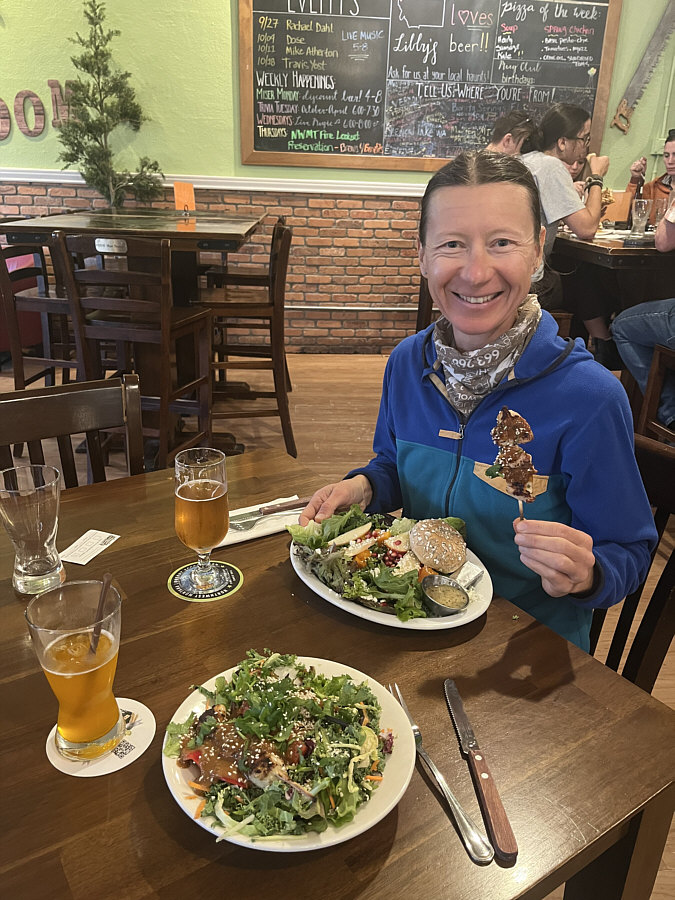
Smacznego! Zosia enjoys an après-hike dinner and refreshments at Cabinet Mountain Brewing Company in Libby.
A hard lesson learned about trip planning and route selection! Total Distance:  14.2 kilometres
Round-Trip Time:  8 hours
Cumulative Elevation Gain:  900 metres

GPX Data