BOU AVENUE
Mount Eureka And Porphyry Peak

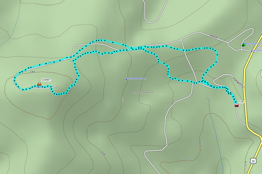
Kicking off our Christmas vacation on 21 December 2024, Zosia Zgolak and I ventured into the Little Belt Mountains of central Montana to do some ski touring.  We first warmed up with some cross-country skiing at Silver Crest Winter Trails located just off US Highway 89 (turnoff at 46.85523, -110.67634).  This trail network is regularly groomed and features mostly trails that are easy to intermediate in difficulty.  With more on our agenda for the day, we only skied a short 5.6-kilometre loop which included going over unofficially-named Mount Eureka, the highest point of the trail network.
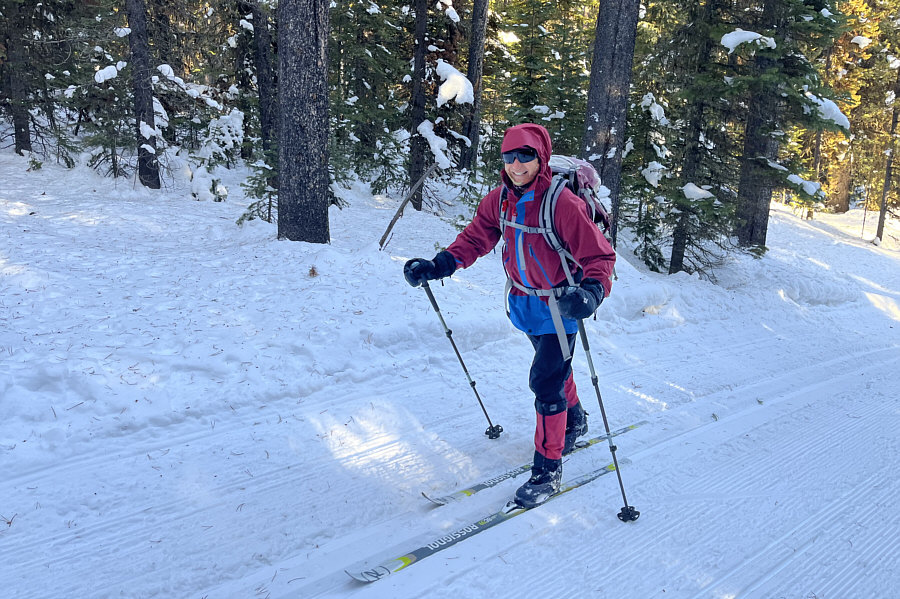
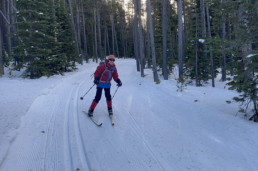
Feels just like skiing in Alberta! Zosia finds adequate ski conditions at Silver Crest Winter Trails.
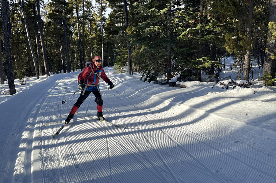
Ironically, she's trying to sell her skate skis! Zosia shows off her prowess at skate-skiing.
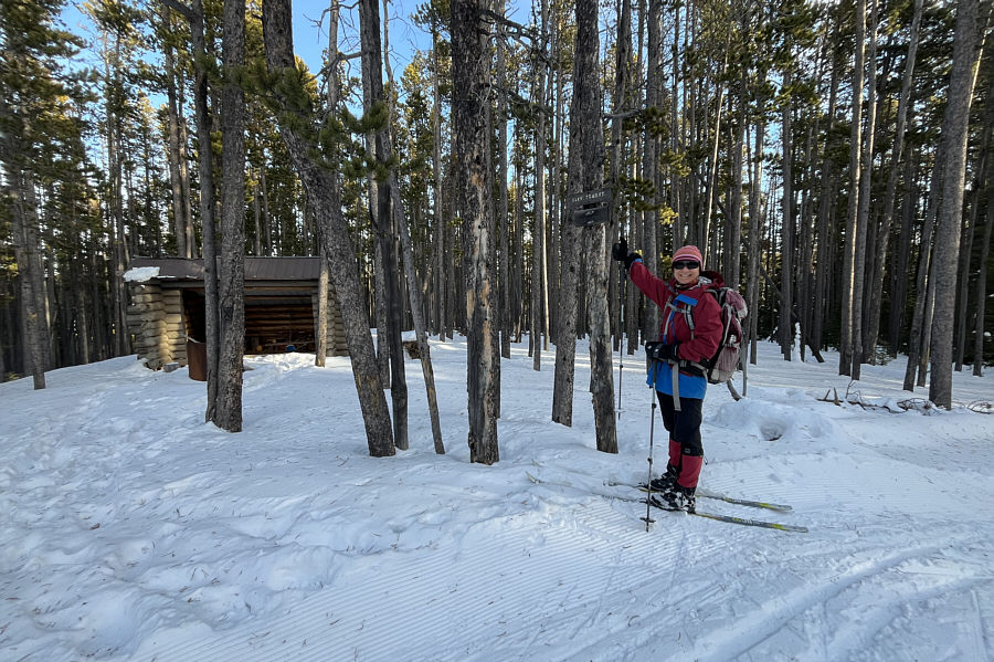
So the sign says! Zosia arrives at the top of unofficially-named Mount Eureka (2219 metres), the high point of the trail network.
Some nice downhill runs here!

Zosia picks up speed coming down from Mount Eureka.
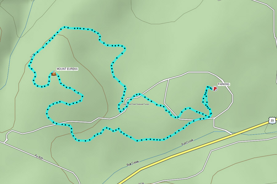
A nice start to our ski vacation. Total Distance:  5.6 kilometres
Round-Trip Time:  1 hour 31 minutes
Cumulative Elevation Gain:  78 metres

GPX Data

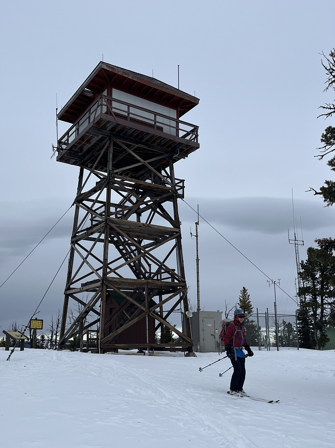
After concluding our ski at Silver Crest Winter Trails, Zosia and I drove down the highway a short distance to Showdown Montana ski resort.  Near the top of the resort is a named summit--Porphyry Peak--which can easily be accessed on skis via a designated uphill travel route (marked by signs showing a Sasquatch on snowshoes).  Starting from the day lodge, we climbed up the right side of the intermediate ski run known as "Meadows", and this initial section is probably the steepest part of the entire ascent.  The grade soon eased as we turned westward along the ski resort's northern boundary and ascended the easy runs, "Ted's Tumble" and "Prentice".  Near the top, we briefly exited the ski area by veering right onto a forestry service road.  This road winds around to the west side of Porphyry Peak before climbing gently up to the summit.  The summit is topped by a fire lookout, but the observation deck was not accessible on this day.

Zosia and I took a short break under the fire lookout before removing our climbing skins and commencing our descent.  After shuffling back inside the resort boundary at the top of the Prospector chairlift, we enjoyed a pleasant downhill run to the day lodge without any problems.
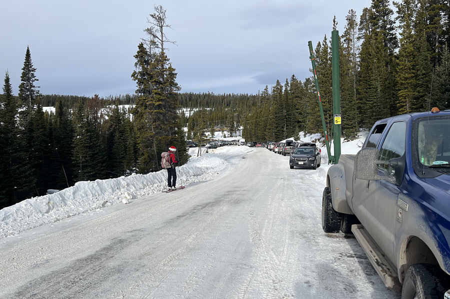
The road's a bit too gritty for my liking--I'll walk! At Showdown Montana ski resort, Zosia starts skiing from along one of the access roads because the parking lots are completely full.
This was the steepest part of the ascent. Zosia climbs up the designated uphill route along an intermediate ski run known as "Meadows".
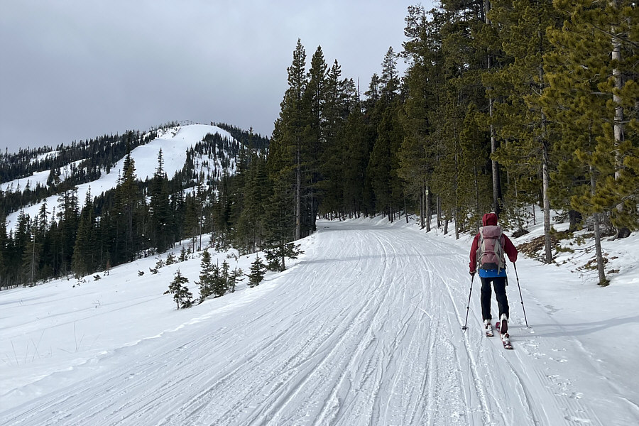
Could be mistaken for a cross-country ski trail! The designated uphill route flattens out a bit along this stretch.
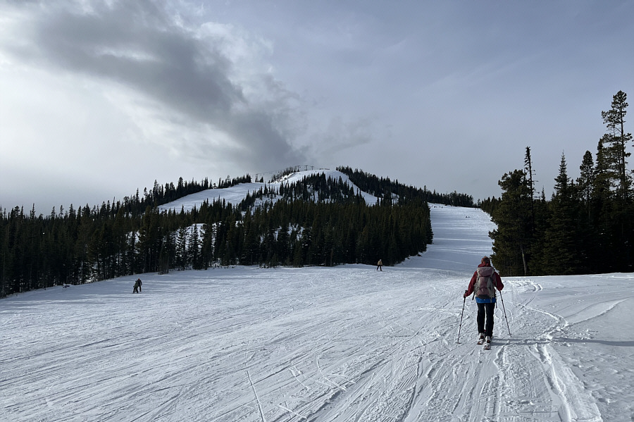
Of course, some skier always yells, "You're going the wrong way!" The designated uphill route hugs the right side of ski run ahead before winding around the backside of the visible hilltop.
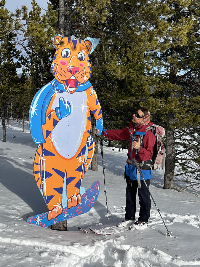
Meow! Zosia meets a friendly snowboarding tiger.
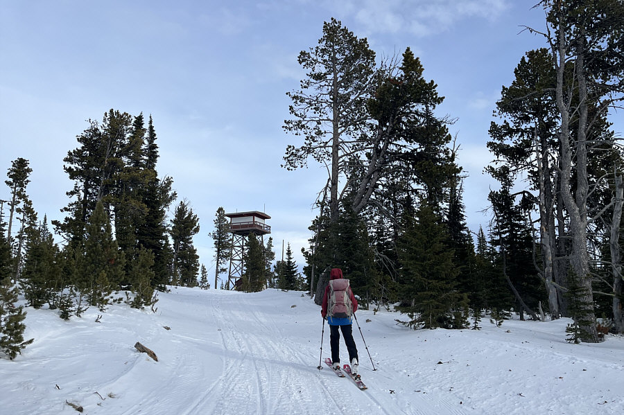
And just like that, we're at the top! Zosia approaches a fire lookout situated at the top of Porphyry Peak.
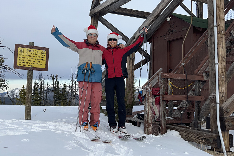
Ski ascents don't get easier than this! Sonny and Zosia stand on the summit of Porphyry Peak (2501 metres).
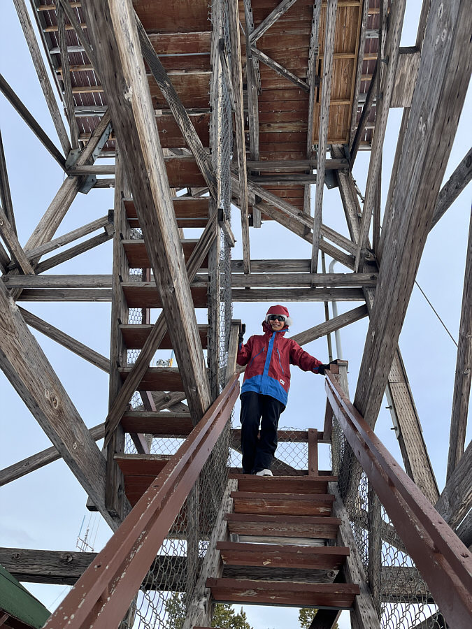
Still worth climbing partway up for some of the surrounding views. Zosia is able to climb the stairs of the fire lookout, but the observation deck is not accessible on this day.
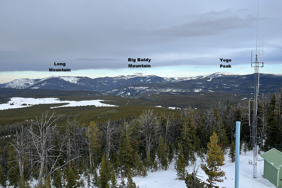
Will need to come back in summer or fall to hike these peaks... The view to the northeast includes Big Baldy Mountain, the highest peak in the Little Belt Mountains.
Goodbye, Porphyry Peak! Zosia begins her descent by leaving the fire lookout.
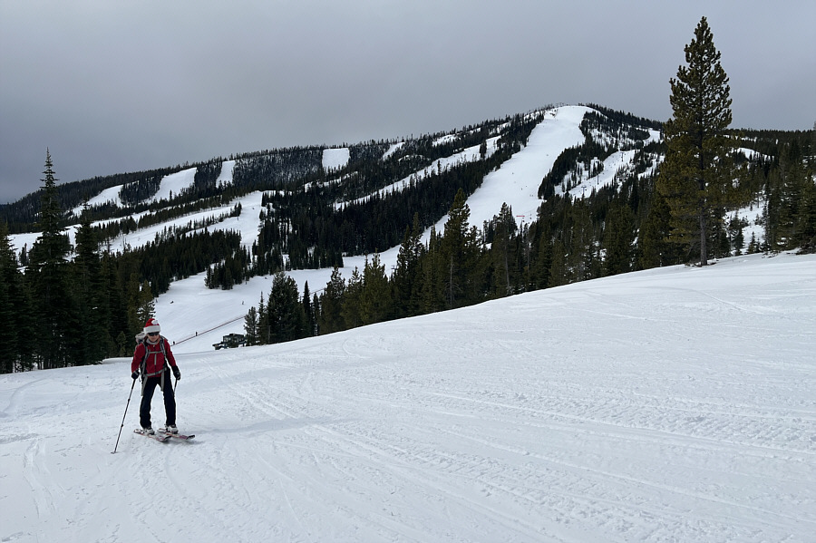
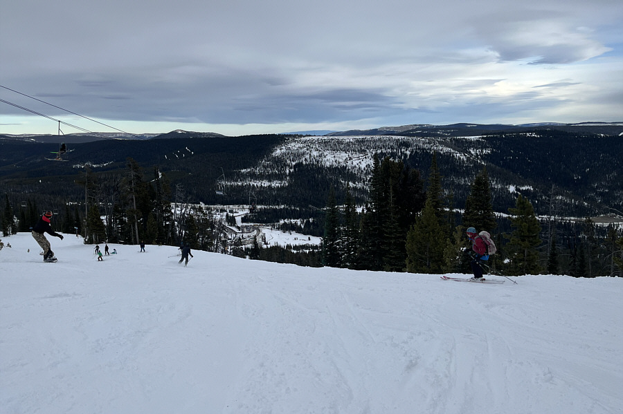
Time to let 'er rip! Zosia joins the regular downhill traffic near the top of the ski resort.
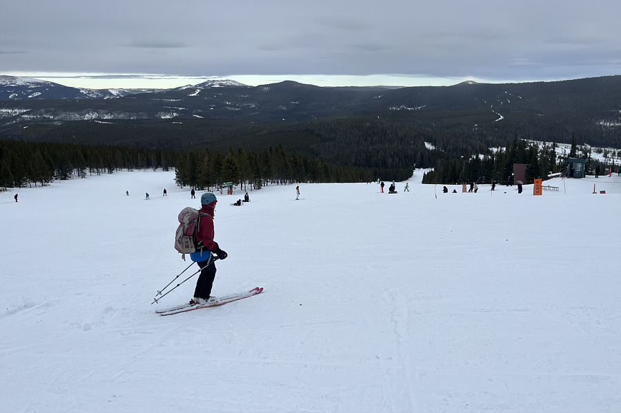
Could almost tuck all the way! Descending the resort's wide open ski runs is pretty easy.
So easy that you could do laps here! Total Distance:  5.7 kilometres
Round-Trip Time:  3 hours 4 minutes
Cumulative Elevation Gain:  300 metres

GPX Data