BOU AVENUE
Fuji Mountain

Looking for an easy outing on 12 August 2024, Zosia Zgolak and I hiked up Fuji Mountain in Oregon's Willamette National Forest.  The name of the mountain apparently has no relation to the more famous Fuji-San which Zosia recently climbed during her visit to Japan.  OregonHikers.org notes that a local (now defunct) newspaper once published a (likely apocryphal) story about the origin of the mountain's name:

An August 1995 issue of the Oakridge Dead Mountain Echo describes an outing to the top of the mountain by Cy Bingham and Charlie Tufti.  The latter gave Cy some jerky and, upon questioning, averred it was genuine packrat.  Cy spat it out, exclaiming “Phooey!” and “Jeez!”, the combination of which resulted in the mountain’s new name.

The summit of Fuji Mountain is the site of a former fire lookout and is easily accessed by a short and well-maintained trail.  The drive to access the trailhead is long but easy on a good gravel road.

From Willamette Highway (Highway 58), turn north onto Eagle Creek Road (Forest Road 5883) 81.0 kilometres east of the junction with I-5 at Eugene or 57.0 kilometres west of the junction with Highway 97.  Drive 10.0 kilometres and keep right at a split.  Ignore all side roads and drive another 6.7 kilometres to the unsigned trailhead (43.64955, -122.11204) on the east side of the road.  There is a small pullout for parking on the west side of the road just opposite the trailhead.  Eagle Creek Road was in excellent condition all the way to the trailhead and suitable for most 2WD vehicles.

From the pullout, Zosia and I crossed the road and hiked the easy-to-follow trail for 480 metres to a signed junction.  Turning left, we began a gradual climb up the western flank of Fuji Mountain's south ridge.  We found a seemingly unlimited number of ripe huckleberries along this stretch of trail and had to stop several times to stuff our mouths.  Our progress slowed considerably, and I began to wonder if we would ever make it the summit.  Eventually, we just could not eat any more berries and were free to resume our hike up the mountain.  About a kilometre past the junction, we started up a series of switchbacks and ultimately reached the summit without any trouble.  On this day, a mix of low clouds and wildfire smoke completely obscured views of the surrounding valleys and nearby Waldo Lake to the north, but we were still able to see the tops of higher mountains in the distance.  Despite the short ascent, we still took our requisite break on the summit (including eating some jerky) before descending the same way uneventfully.

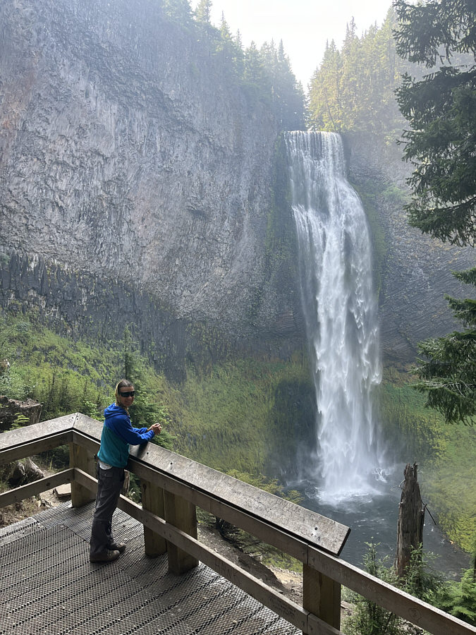
After completing our hike, Zosia and I drove out to the highway and subsequently paid a visit to nearby Salt Creek Falls, the third highest waterfall in Oregon.  With some energy to spare, we walked a couple of short but strenuous trails in the vicinity of the waterfall before driving out of the area for good.
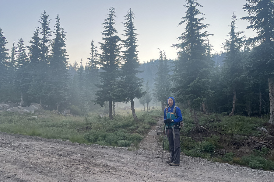
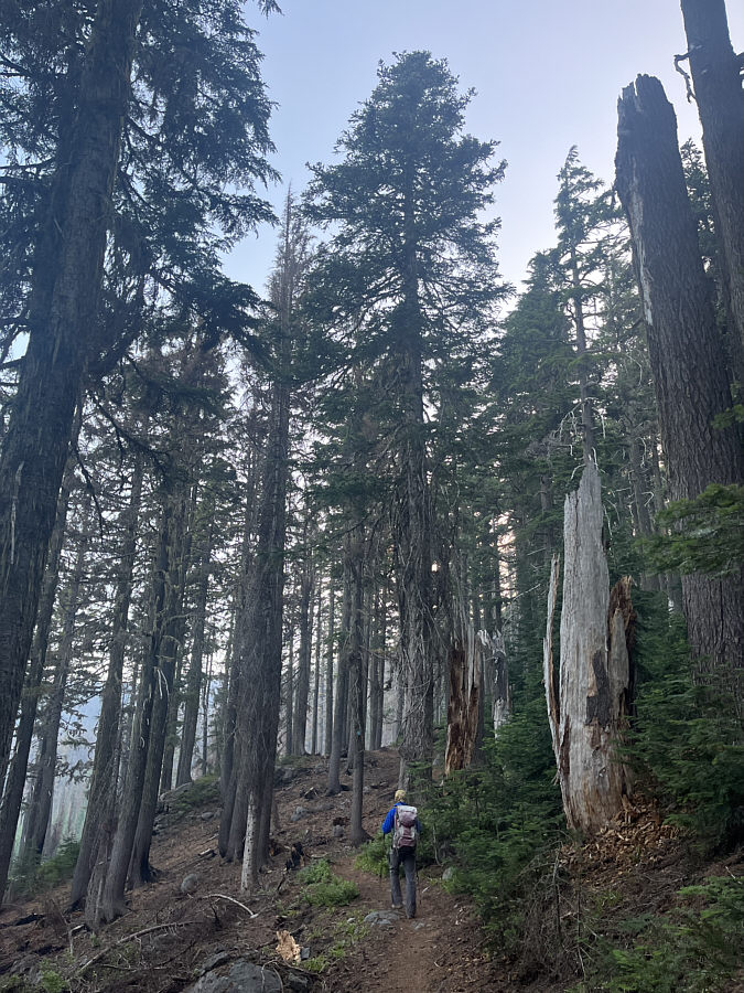
Smoke gets in your eyes... Zosia starts hiking at the unsigned trailhead.  Note the lingering wildfire smoke in the forest.
Surprisingly light undergrowth makes the forest less claustrophobic.

The forested trail is surprisingly well-maintained and enjoyable to hike.
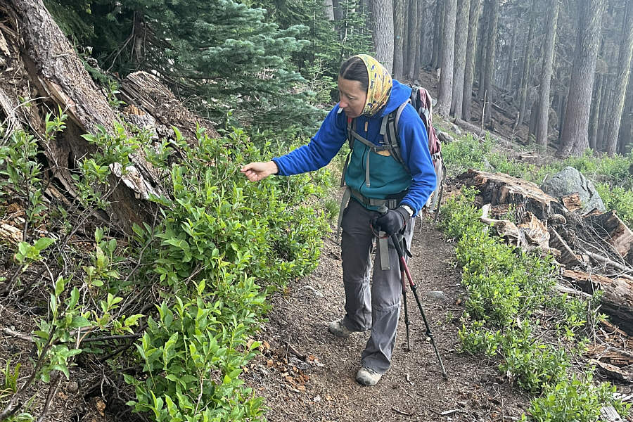
And our progress slows considerably! Zosia stops to pick ripe huckleberries.
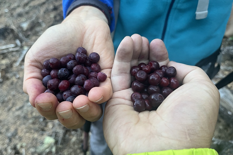
Second and third breakfasts of the day! On this day, ripe huckleberries are exceedingly abundant along the trail.
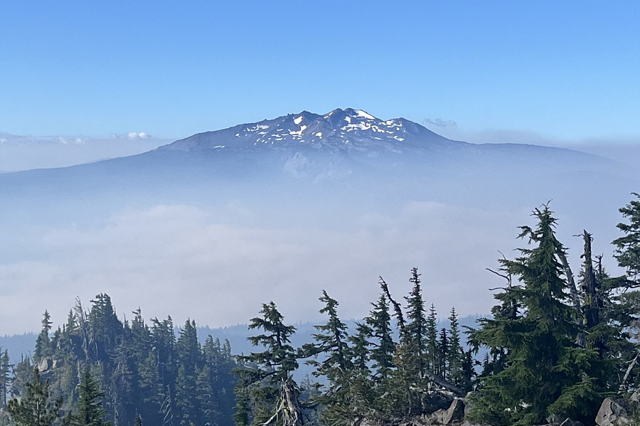
Unfortunately, Diamond Peak was closed due to wildfires in the area.

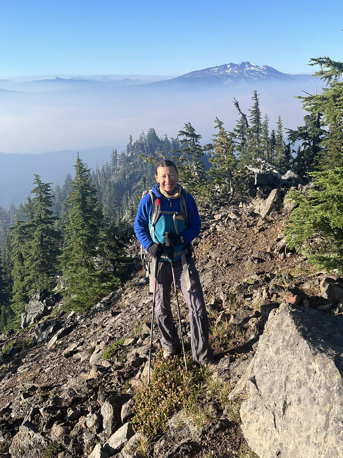
Zosia finally breaks out of the trees on the summit ridge.  Behind her is Diamond Peak.

Normally, we would be able to see Waldo Lake in the valley.

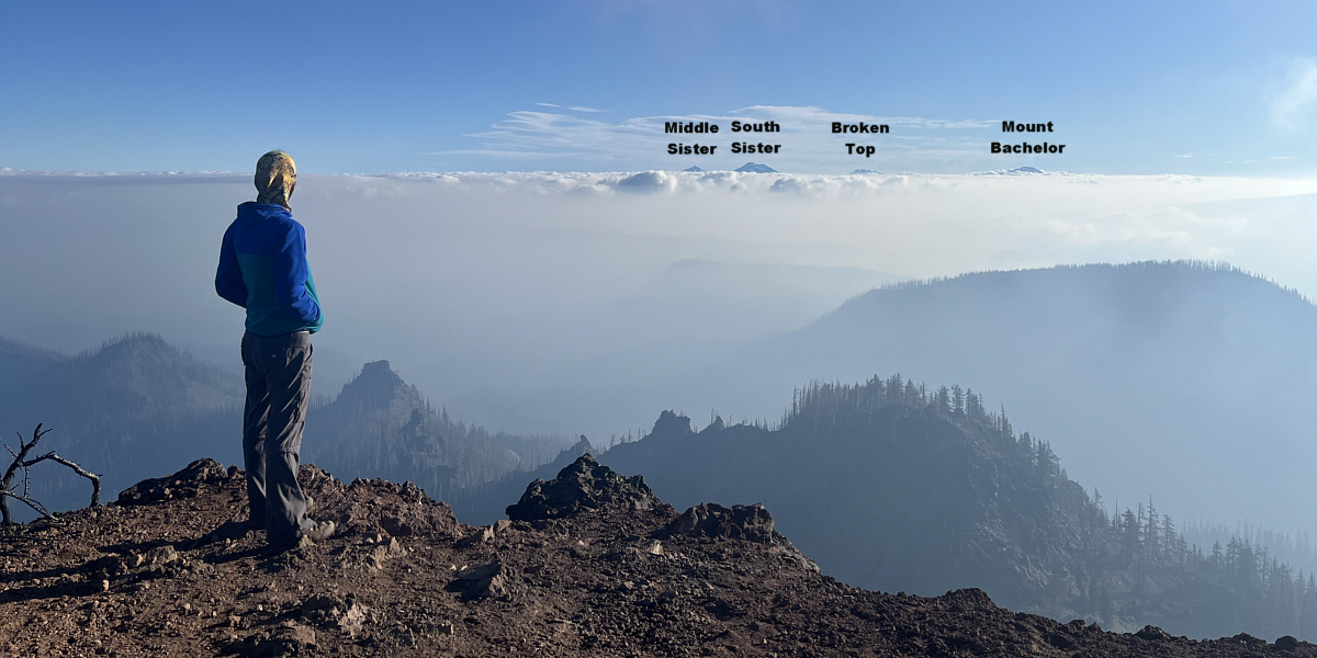
Looking northward from the summit of Fuji Mountain, Zosia can barely see the tops of some prominent peaks above the clouds and smoke.
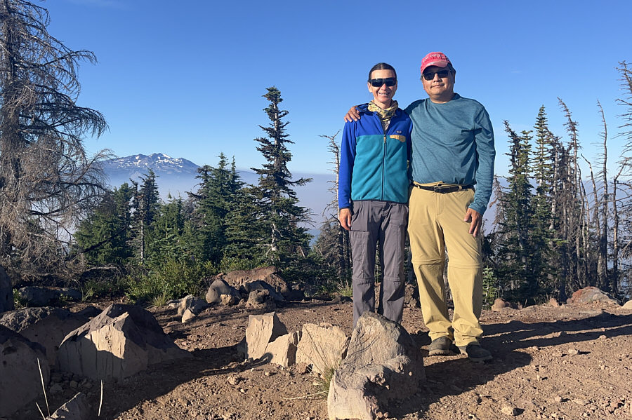
 

Zosia's second ascent of a mountain named Fuji in as many months! Zosia and Sonny stand on the summit of Fuji Mountain (2178 metres).
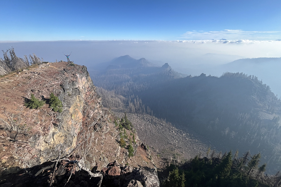
Still some amazing views despite all the smoke! Zosia stands above some precipitous cliffs on the north side of Fuji Mountain.
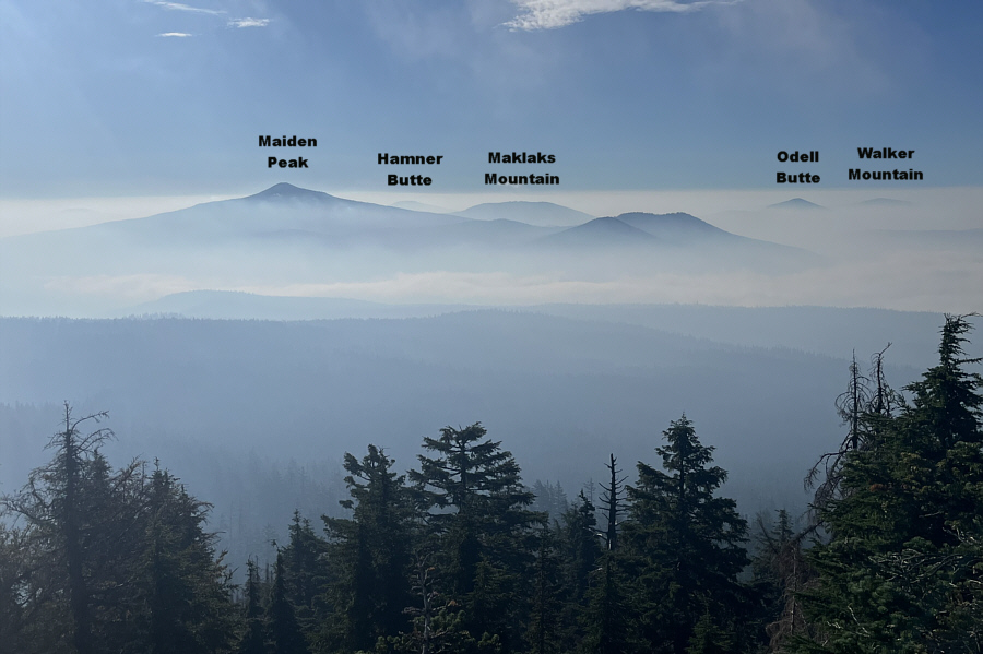
Will come back for Maiden Peak when it's not so smoky...I hope! Some more intriguing mountains can be seen to the east.
Just moved up on my to-do list! Here is another look at Diamond Peak to the south.
Beautiful! After finishing the hike to Fuji Mountain, Zosia pays a visit to Salt Creek Falls, the third highest waterfall in Oregon.
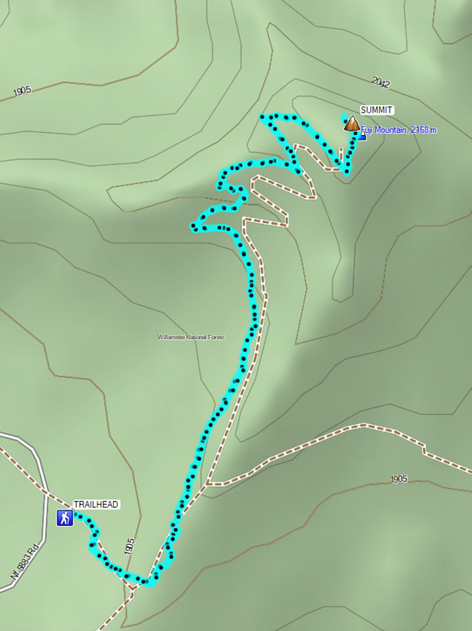
A nice short trip with rewarding views and delicious huckleberries! Total Distance:  5.5 kilometres
Round-Trip Time:  3 hours 8 minutes
Cumulative Elevation Gain:  280 metres

GPX Data