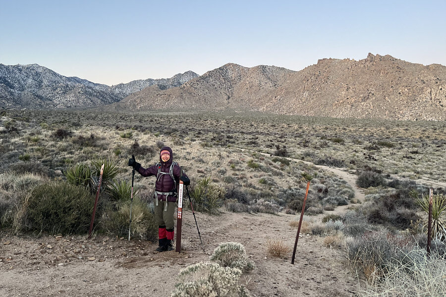
 |
Zosia begins hiking from the wilderness boundary. Granite Peak is the bump at distant far left. |
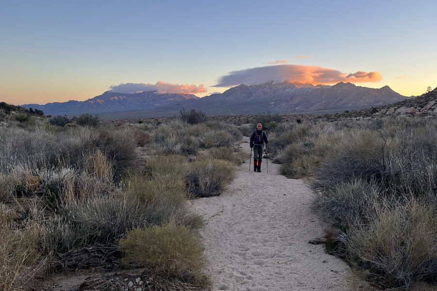 |
Clouds hover over the Providence Mountains behind Zosia. |
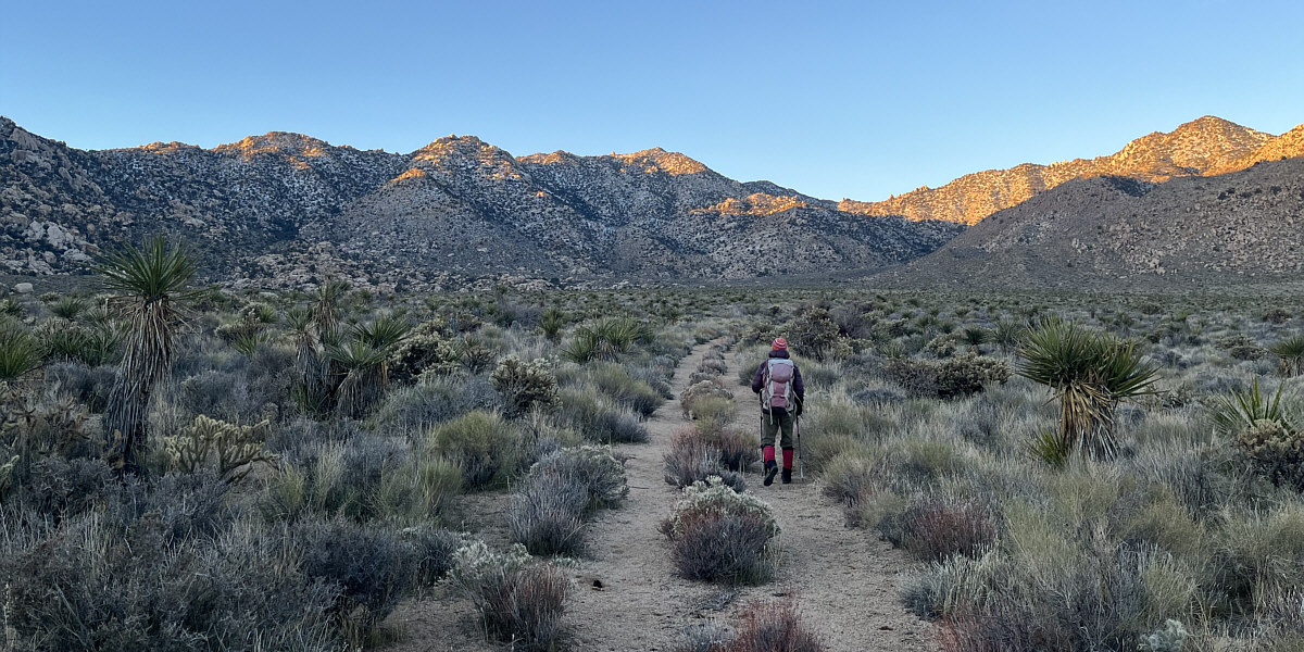
Zosia enjoys easy hiking along the road for the first few kilometres. At centre is Granite Peak.
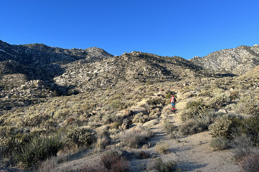 |
Zosia will soon leave the road and head up the ridge straight ahead. |
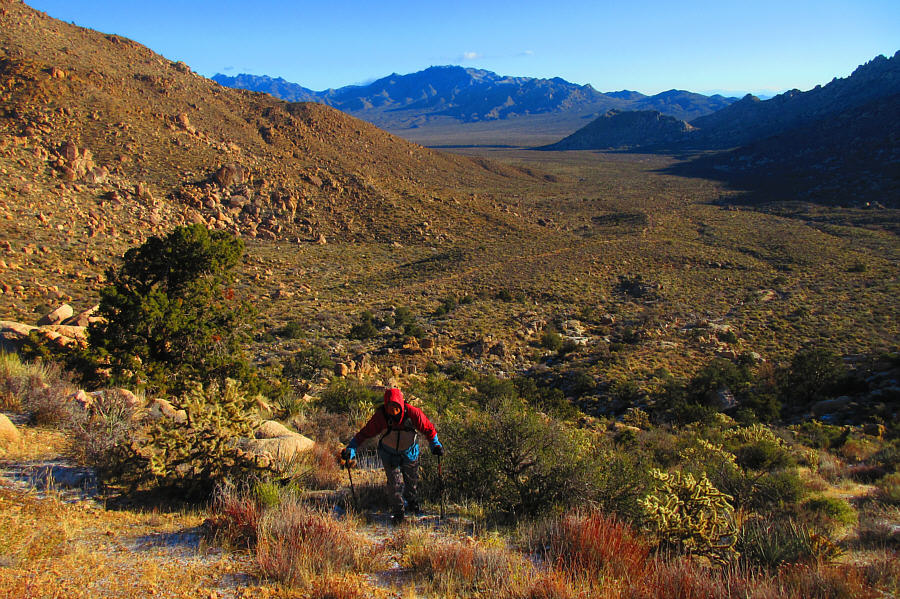 |
Here is a look back at the broad
valley used for the approach. Photo courtesy of Zosia Zgolak |
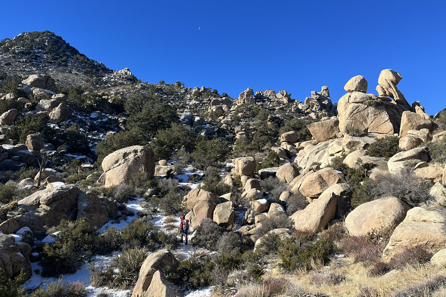 |
Route-finding on the ridge is complicated by numerous stacked boulders. |
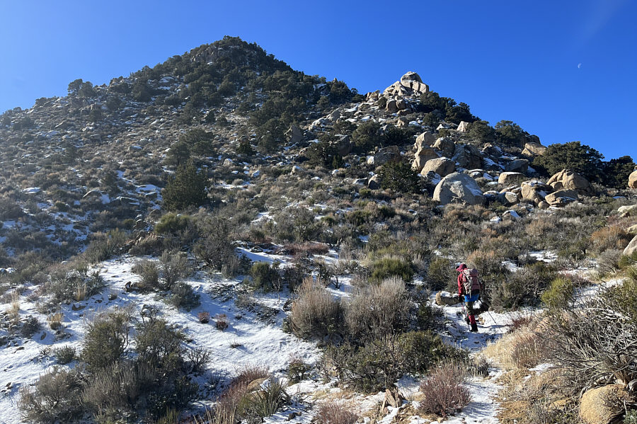 |
Although the summit block looks close here, there are still some route-finding challenges ahead as well as 300 metres of elevation gain left. |
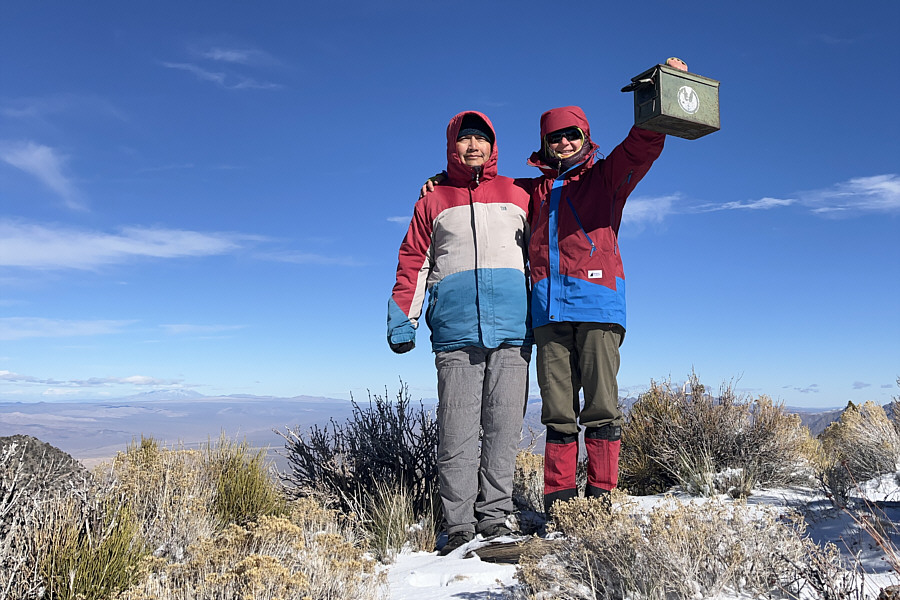 |
Sonny and Zosia stand on the summit of Granite Peak (2068 metres). |
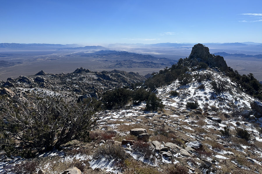 |
Although not indicated on most topographical maps, the pinnacle to the south is apparently almost the same height as Granite Peak. |
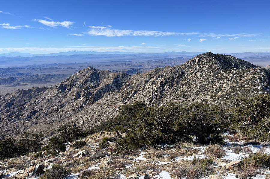 |
The range's benchmark is apparently located on the lower unnamed peak (right) to the west. San Jacinto Peak and San Gorgonio Mountain are also visible on the left horizon. |
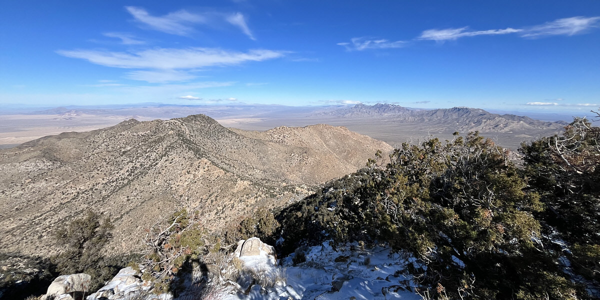
Silver Peak (left) and the Providence Mountains (distant right) round out the view to the north.
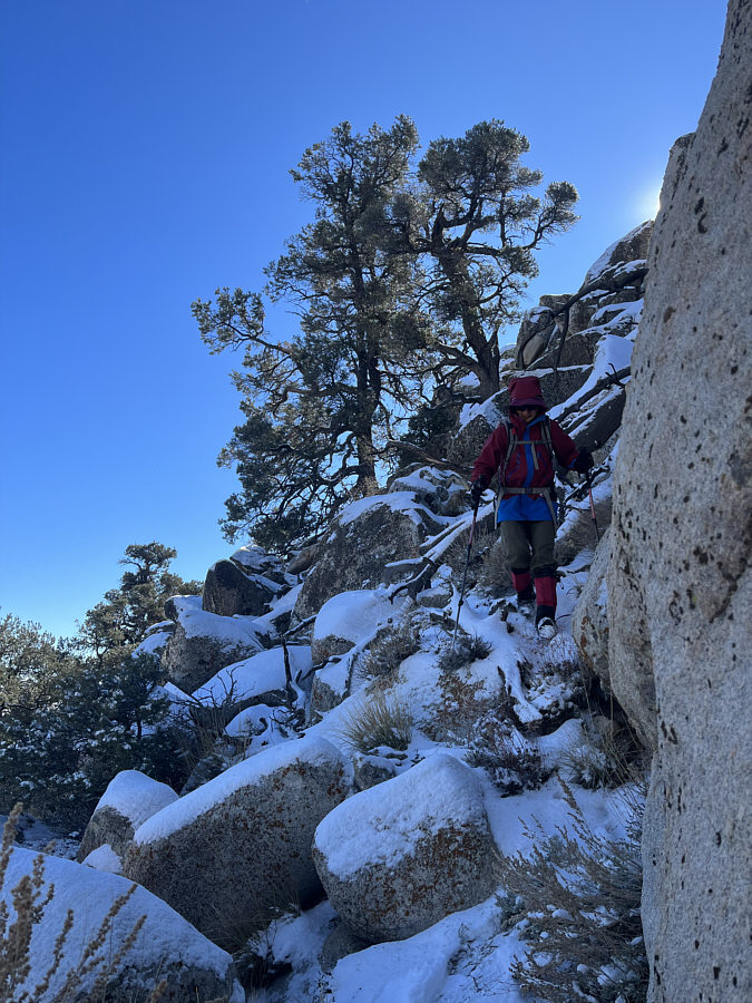 |
Zosia carefully descends the weakness in the boulders guarding the summit block. |
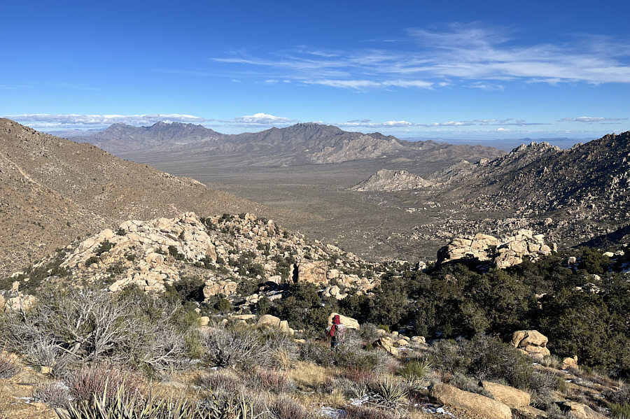 |
Despite going back the same way, Zosia still faces plenty of route-finding challenges on the way down. |
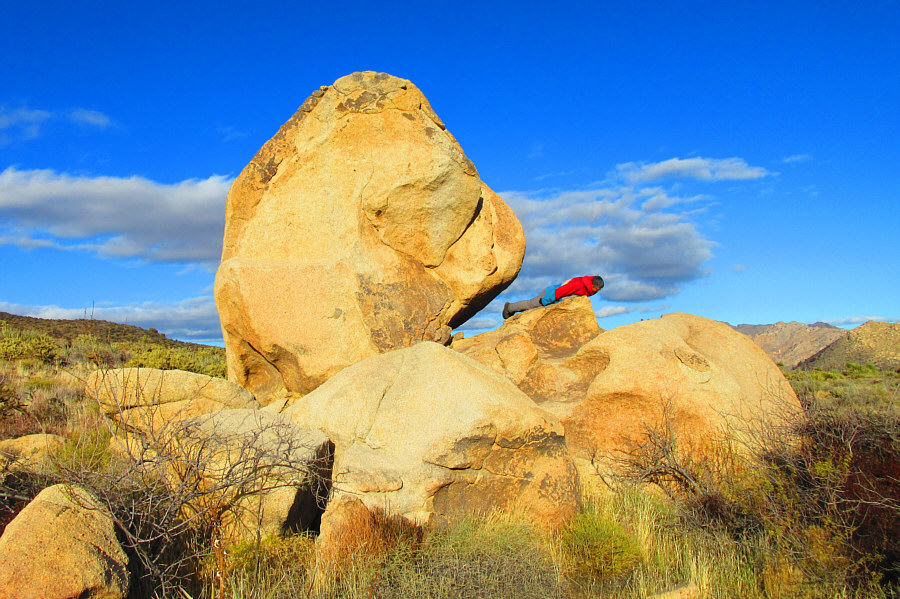 |
Sonny tries to revive the outdated fad
of planking beside this interesting boulder. Photo courtesy of Zosia Zgolak |
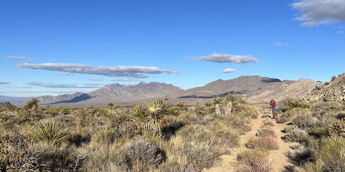
Here is a last look at the Providence Mountains late in the day.
 |
Total
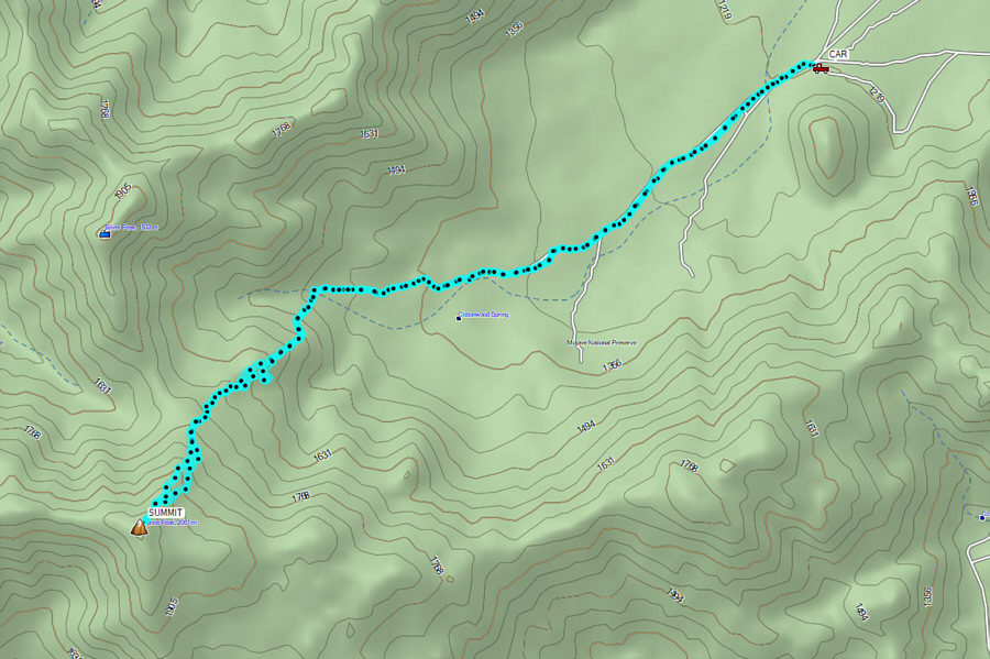
Distance: 13.0 kilometres Round-Trip Time: 8 hours 54 minutes Net Elevation Gain: 848 metres |