BOU AVENUE
Green Mountain And Red Mountain

Opting for a simple outing on 23 August 2024, Zosia Zgolak and I hiked up Green Mountain and Red Mountain located along the Continental Divide in Montana's Helena-Lewis and Clark National Forest.  Both mountains are easy walk-ups along the Continental Divide Trail (CDT) and can be accessed either from Montana Highway 200 at Rogers Pass or from Alice Creek Trailhead via a trail that goes over historic Lewis and Clark Pass.  The approach from Alice Creek Trailhead is much shorter and naturally appealed to us more, but the access requires a long, albeit uncomplicated, drive on a good gravel road.

From Montana Highway 200, turn north onto Alice Creek Road (FR 456/293; 2WD gravel) about 16.0 kilometres east of the community of Lincoln or 44.0 kilometres west of the junction with US Highway 287.  Drive 17.0 kilometres to road's end at Alice Creek Trailhead (vault toilet).

Getting off to a pre-dawn start, Zosia and I went through a gate and headed east along the trail (FT 493) to Lewis and Clark Pass.  The trail rises gently along the north bank of a tributary of Alice Creek before swinging south and then east again to reach the Continental Divide.  Just short of Lewis and Clark Pass, we left the main trail and took a short cut southward on a faint track to intersect the CDT near the start of Green Mountain's north ridge.  The CDT makes a few excessive switchbacks here, but otherwise, we had no issues hiking the remaining distance up to the summit of Green Mountain.
Keeps out all the riffraff! 
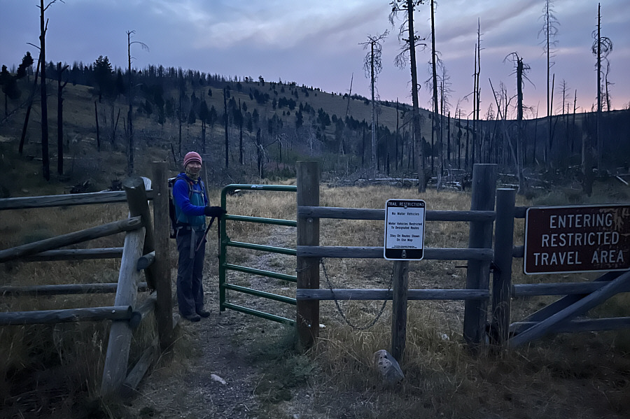
Zosia passes through a gate at the trailhead.
Hard to believe that water flows from these dry hills! 
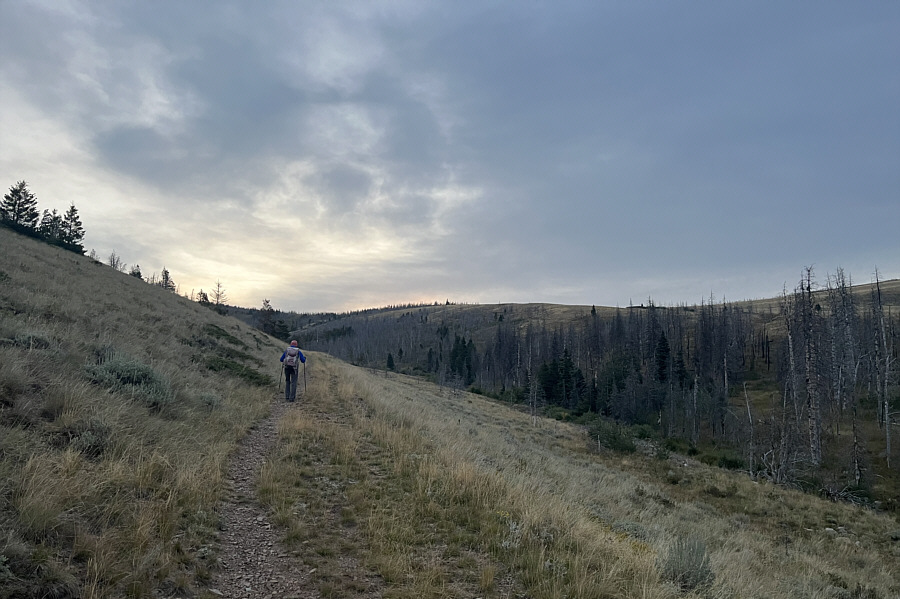
The trail (FT 493) rises gently along the north bank of a tributary of Alice Creek.
Short cuts are a no-brainer in open terrain like this. 
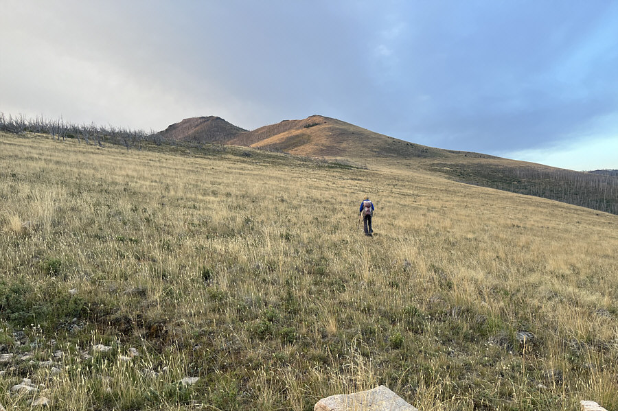
Turning toward Green Mountain (left), Zosia takes a short cut to the Continental Divide Trail (CDT).
Lots of noisy grouse here!

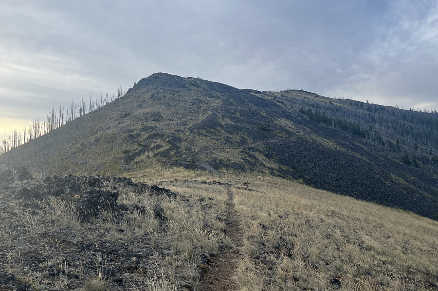
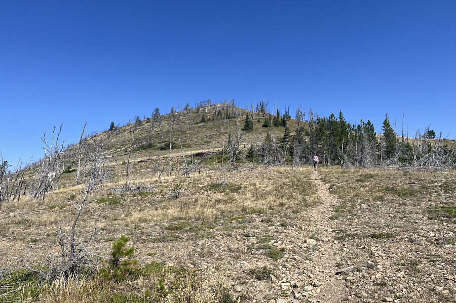
The CDT makes numerous switchbacks up the hill in front of Zosia as well as the upper slopes at right.

Save the short cuts for the descent! 
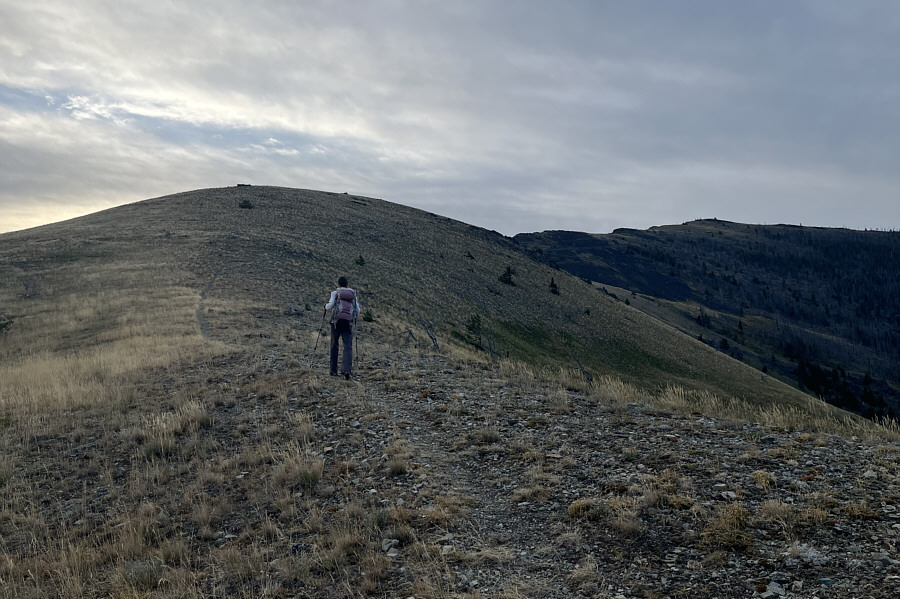
Zosia proceeds up the final set of switchbacks before the top of Green Mountain.
This is the 3rd "Green Mountain" we have both climbed! 
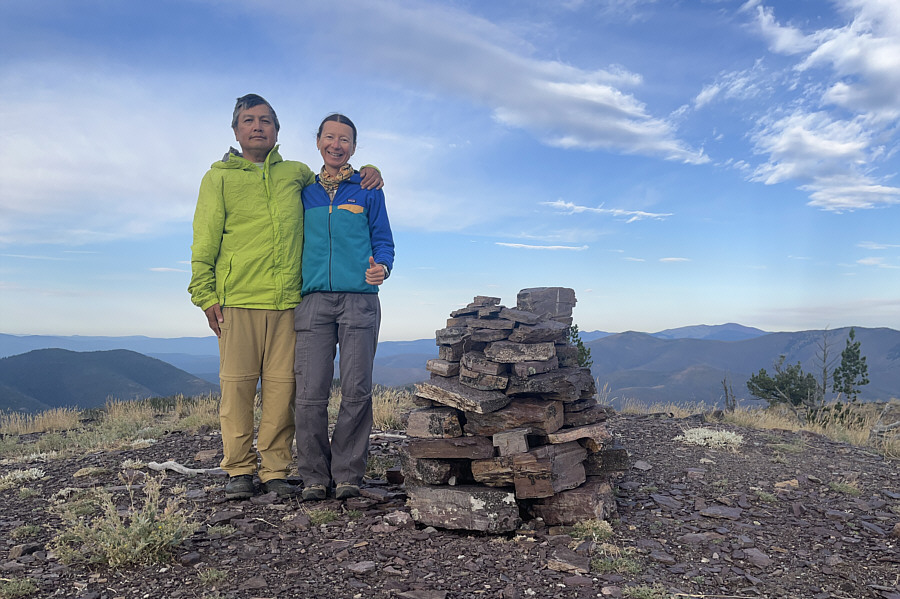
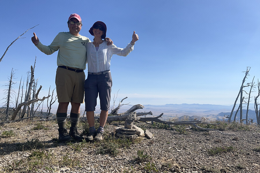
Sonny and Zosia stand on the summit of Green Mountain (2276 metres).
So many unfamiliar peaks! 
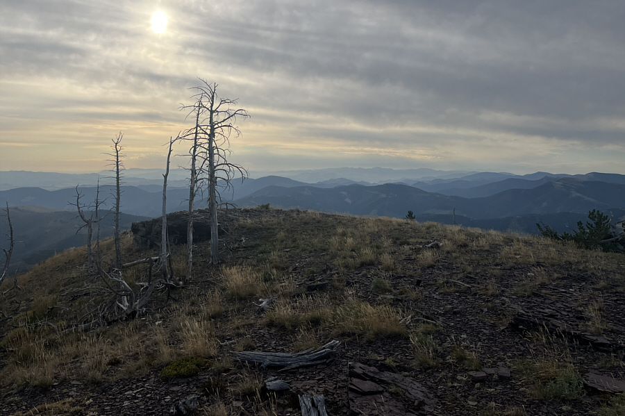
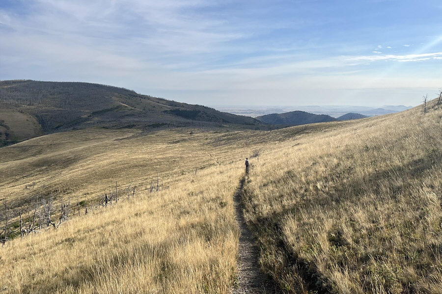
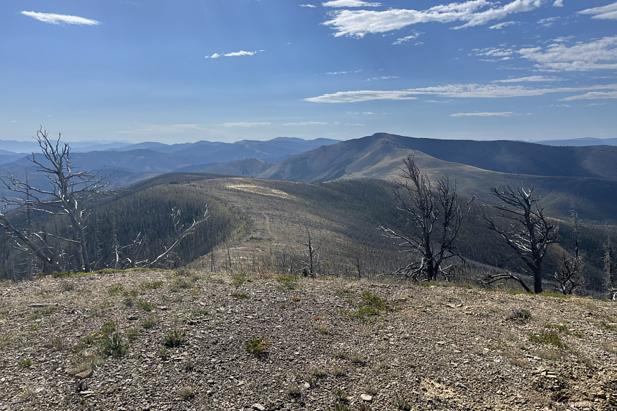
The sun tries to break through an overcast sky in this view to the southeast from the summit.
They should rename this one "BIG Red Mountain"! 
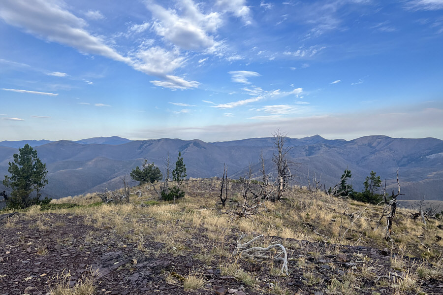
The view to the west includes another Red Mountain on the left horizon.
After a short break on the summit of Green Mountain, Zosia and I backtracked along the CDT, and we even took a few short cuts to bypass some of the long-winded switchbacks.  Passing the junction with FT 493 at Lewis and Clark Pass, we continued northward climbing gently through an old burn and over a broad plateau.  The CDT drops into a slight dip here before rising and passing just slightly below the summit of Red Mountain.  We abandoned the CDT here and tagged the summit of Red Mountain after a short and easy off-trail climb.  Interestingly, the survey benchmark atop Red Mountain reads "Alice", and it is a bit perplexing why this mountain is even officially named "Red Mountain".  With little shade to speak of at the summit, we descended back to the CDT and found a suitable tree to sit under for our second rest break of the day.

For our return, Zosia and I simply hiked uneventfully back to Lewis and Clark Pass along the CDT and down FT 493 to the trailhead.
This whole area would be great for ski touring if there was enough snow... 
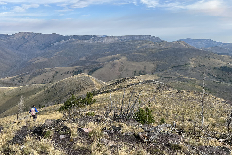
Zosia descends from the top of Green Mountain.  Red Mountain is to the right of the distant cliff at centre but is difficult to discern in front of Blowout Mountain. 
Hard to believe that this is the Continental Divide! 
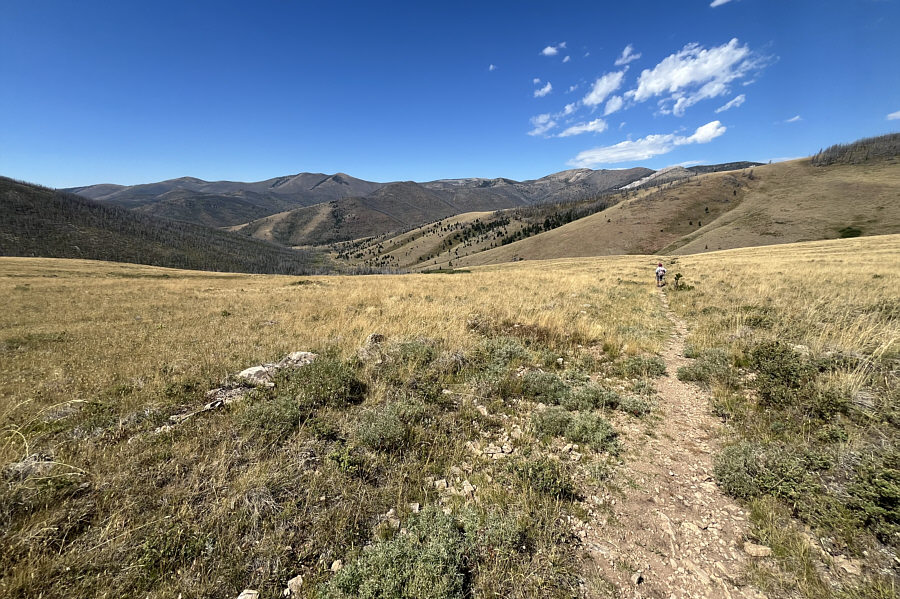
Zosia heads toward Lewis and Clark Pass along the CDT.
And the sun is getting warm too... 
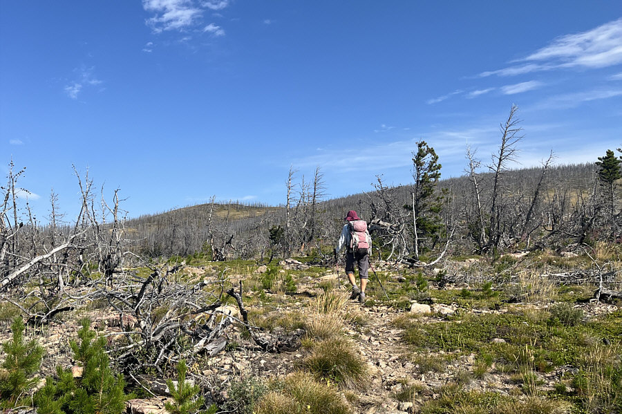
Zosia hikes through an old burn to the north of Lewis and Clark Pass.
Definitely more prominent unnamed ridges in this area! 
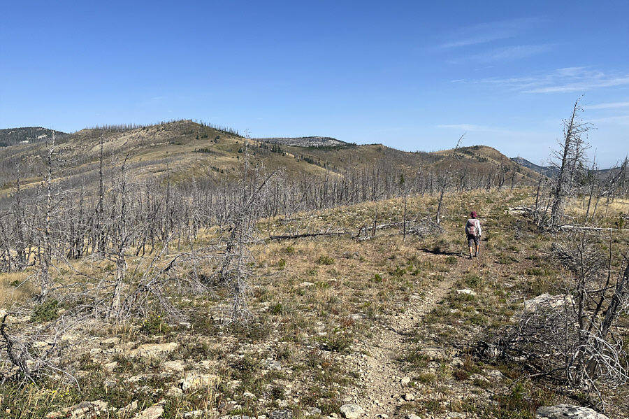
Red Mountain (left) is a little more distinct as Zosia approaches a dip along the CDT.
Easy enough to go off-trail straight to the top here! 
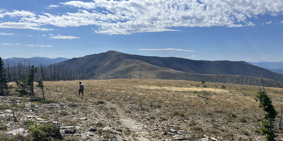
The CDT eventually passes under the top of Red Mountain to the left in the photo.
They should have kept this name for the peak. 
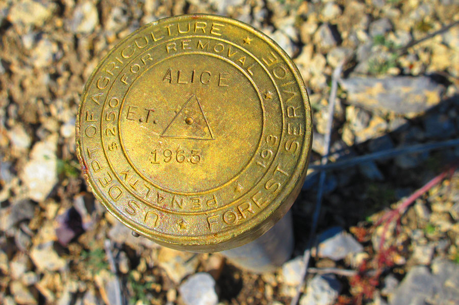
The survey benchmark on top of Red Mountain has a different name for the peak.

Photo courtesy of Zosia Zgolak

Whew! Too warm to hang out here in the sun! Sonny and Zosia stand on the summit of Red Mountain (2226 metres).
Green Mountain looks more green than Red Mountain looks red! Here is a look back south at Green Mountain (right of centre).

Are we bored yet?

Zosia heads back to Lewis and Clark Pass along the CDT.


And here we are, over 218 years later! 
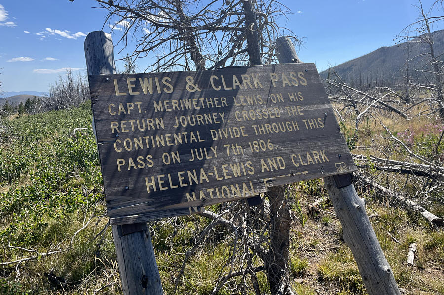
This dilapidated sign explains the historical significance of Lewis and Clark Pass.
Though not that rugged, this is beautiful country! Zosia descends FT 493 on her way back to the trailhead.
An easy outing with virtually no bushwhacking! 
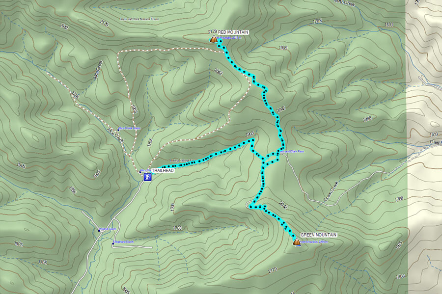
Total Distance:  16.2 kilometres
Round-Trip Time:  7 hours 16 minutes
Cumulative Elevation Gain:  816 metres

GPX Data