BOU AVENUE
Greenview Hill And Greenview Ridge
On 26 October 2024, Zosia Zgolak organized
another Halloween-themed hike, and this time, we ventured into Alberta's
Ghost Public Land Use Zone to climb a couple of scrubby ridges--Greenview
Hill and Greenview Ridge as coined by
Bob Spirko--tucked between Harold Creek and Little Red Deer River.
With little in the way of views and aesthetics, both objectives are not
likely to garner much interest, let alone fear, from most hikers, but
this trip was more about socializing and reconnecting with some of our
hiking friends. Joining us for this horrifying hike were Brandon Boulier, Kevin Caron, Asieh Ghodratabadi, Shaun Luong, Shelley
Milutinovic (plus her friend's dog, Billie), and Ali Shariat.
Rendezvousing at a pullout (51.45417, -115.02587) along SR 579, we
followed Spirko's advice and took to the trail which he used for his
descent (the reclaimed road he tried to circumvent is off limits to the
public anyway). After a brief initial climb away from the road, we
enjoyed a short level stretch before grinding steeply straight up the
south end of Greenview Ridge. Upon gaining the ridge crest, we
turned left (north) and continued along the trail past a few open
sections that allowed views of distant mountains to the west.
Approximately 1.7 kilometres from where we gained the ridge crest, we
abandoned the trail and dropped down east-facing slopes aiming for a dip
between Greenview Ridge and Greenview Hill. Topo maps show a cut
line here, but it was mostly overgrown and indistinct. Fortunately,
the bushwhacking was not too bad. We even stumbled across a good
trail running parallel to the ridge, but unfortunately, it was not
heading in the right direction for us. After crossing the dip, we
worked our way up the western ridge of Greenview Hill and made good
progress until the last 75 metres or so (horizontally) before the top.
Ironically, the deadfall is worse here than in the thicker forest lower
down, and we had to endure a bit of heinous bushwhacking before finally
breaking through to the high point. Although trees still block much
of the surrounding views, the summit is open enough to allow for some
breathing space, and we took a nice break here in the sun.
When we resumed hiking, we retraced our steps through the mess of
deadfall on top of Greenview Hill and then dropped down to re-cross the
dip. The bushwhack back up to where we had left the crest of
Greenview Ridge was less painful than expected, and we were soon heading
north again along the trail. The actual high point of Greenview
Ridge is difficult to pinpoint, and there are a few candidate bumps--all
viewless and probably all roughly the same height--just before where the
trail intersects the same reclaimed road we skipped at the beginning.
In the end, we just picked one of the bumps for our group photo and were satisfied
that, in the grand scheme of things, no one will really give a rat's ass!
For our return, we simply hiked back along
the same trail to the south end of Greenview Ridge before dropping down
the way we came. Although going back over familiar terrain with the
same dull views felt a little long-winded, the return hike was
straightforward and trouble-free. More so than tagging the high
points, the real success of this Halloween hike was sharing the
trail--plus some mild suffering--with great company. Thank you to
all who participated this year!
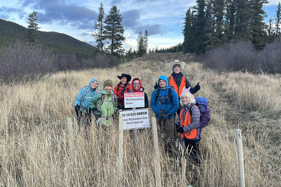 |
Asieh, Zosia, Shaun, Ali, Brandon,
Kevin and Shelley rendezvous at the starting point for the hike.
Behind them is the road that Bob Spirko tried to use for his ascent of Greenview Ridge. Unfortunately, the road is now being reclaimed
and is off limits to the public. |
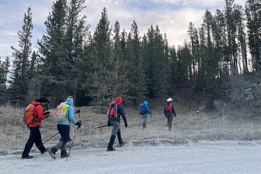 |
The group heads for a nearby alternate
route recommended by Spirko. |
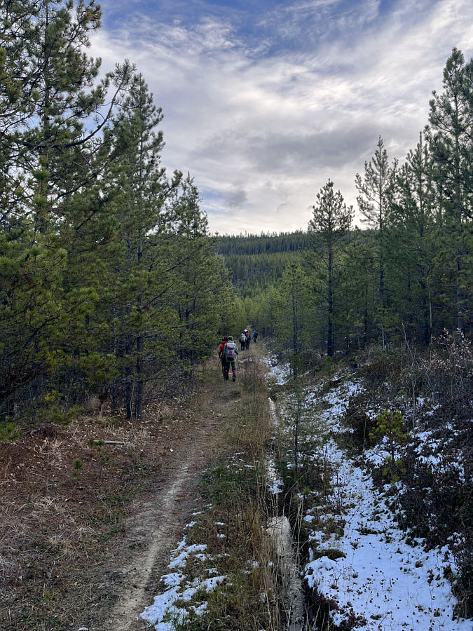 |
The group follows a trail
toward Greenview Ridge which is visible ahead. |
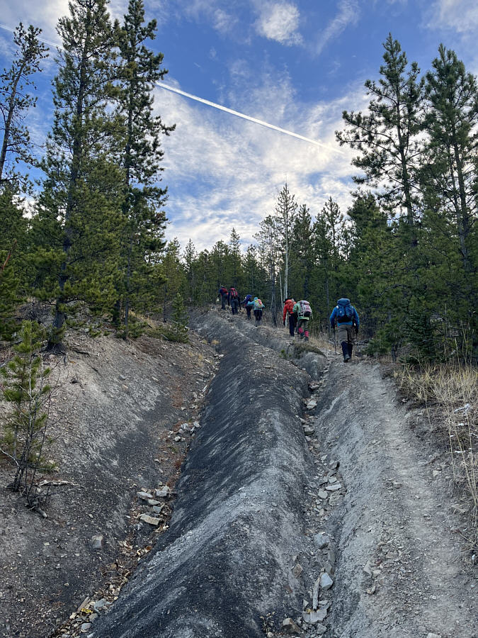 |
This section of trail is both steep and heavily eroded. |
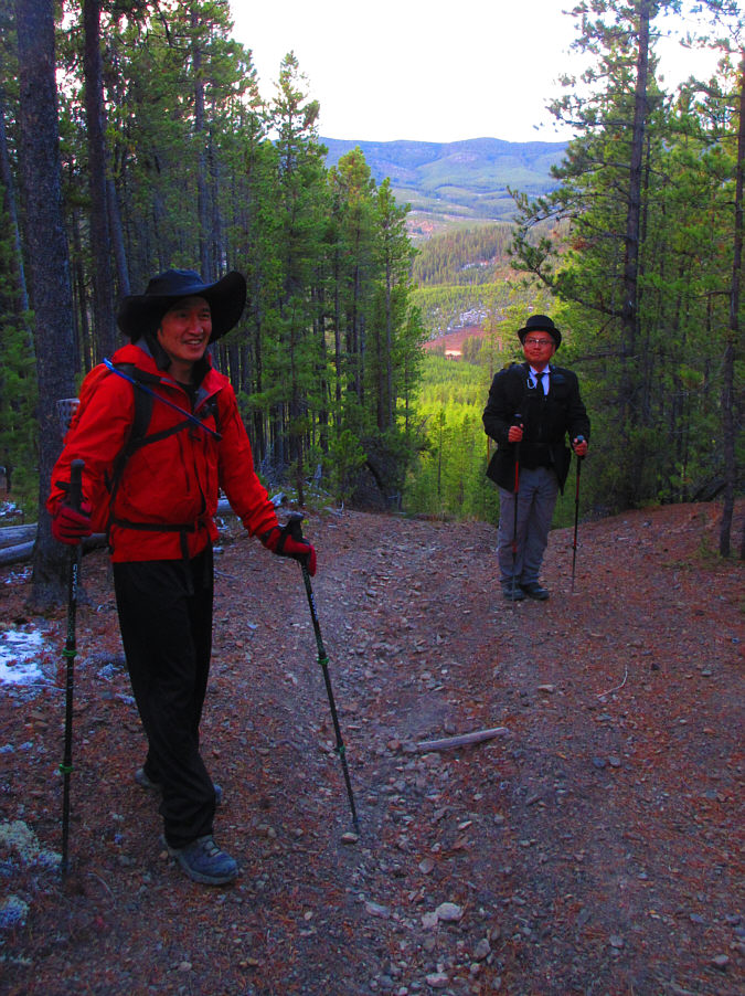 |
Shaun and Sonny both look quite
stylish with their fancy hats. Photo courtesy of
Zosia Zgolak |
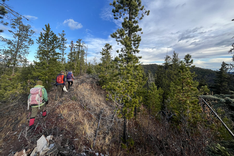 |
Zosia, Kevin and Shelley gain the
crest of Greenview Ridge. |
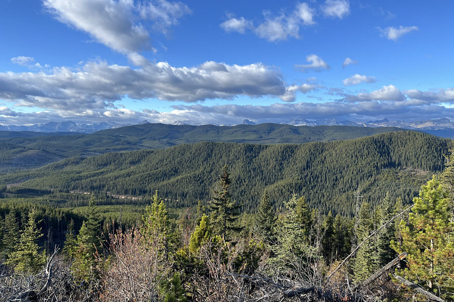 |
This open section of trail grants probably the best view of the trip. |
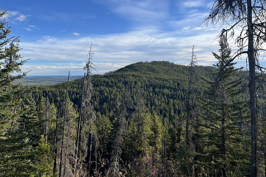 |
Here is a somewhat clear view of Greenview Hill from Greenview Ridge. |
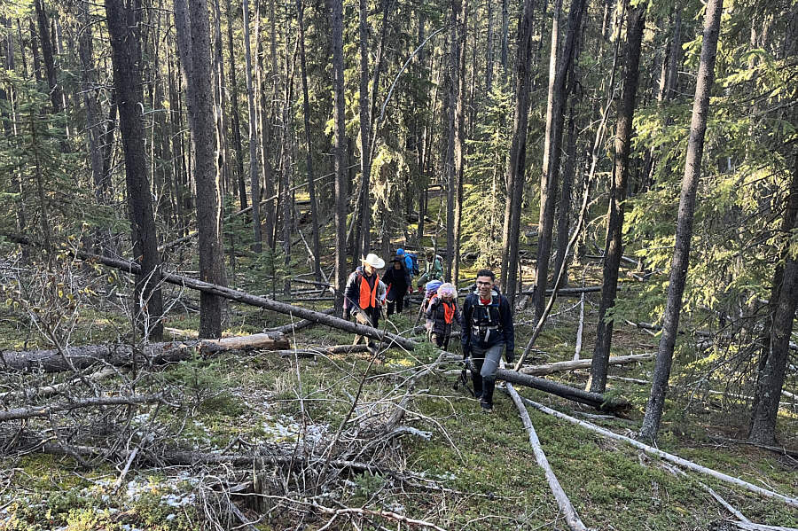 |
The bushwhacking between Greenview
Ridge and Greenview Hill is not bad and generally tolerable. |
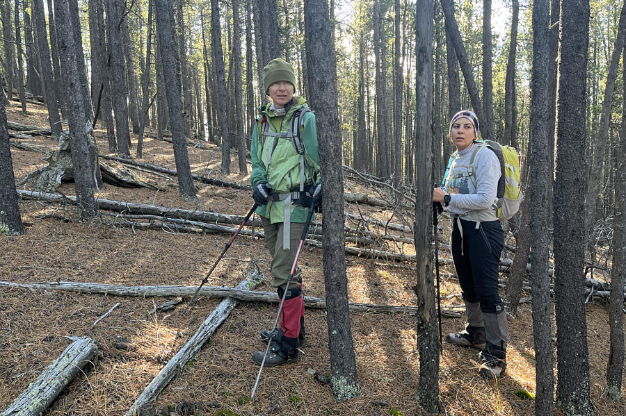 |
Zosia and Asieh seem pensive about the
ascent of Greenview Hill. |
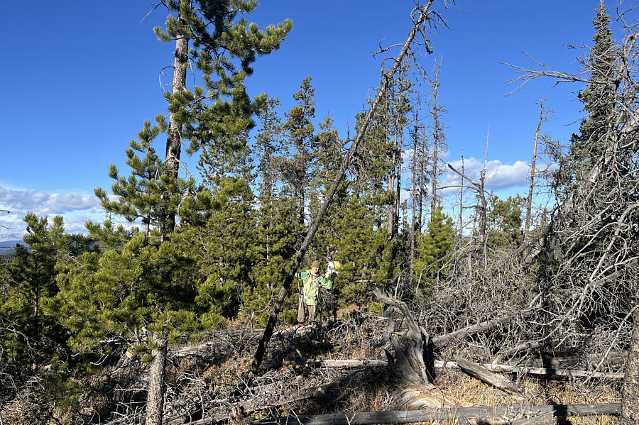 |
Ironically, the worst bushwhacking of
the day is near the top of Greenview Hill, but fortunately, it is
short-lived. |
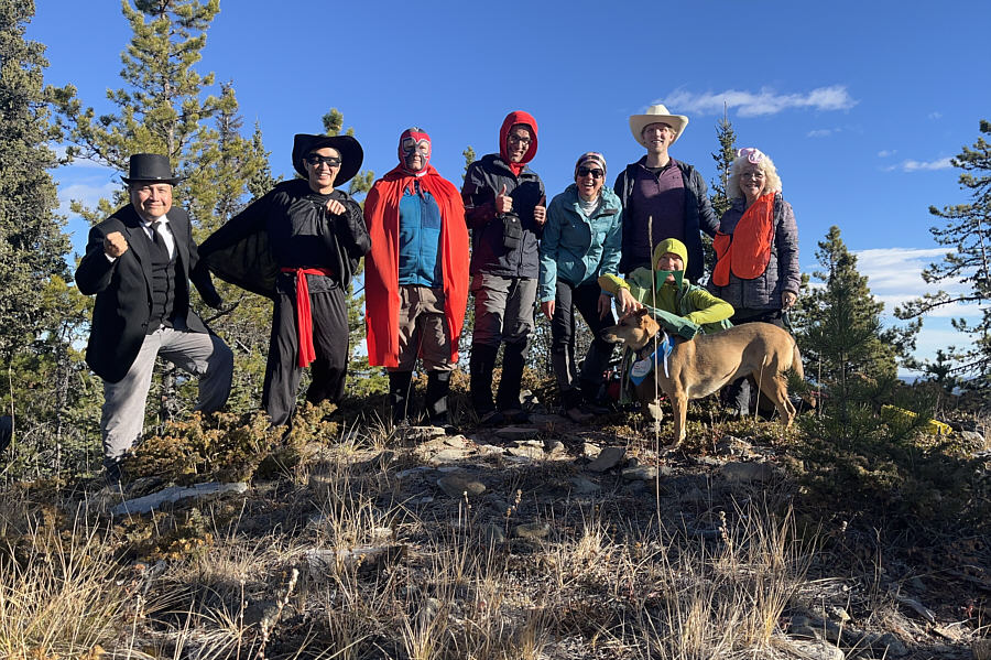 |
Oddjob, Zorro, Nacho Libre, Red Riding
Hood, Jackie Onassis, Buster Scruggs, Killer Żabka (kneeling behind
Cujo) and Construction Bunny gather atop the high point of Greenview
Hill (1767 metres). |
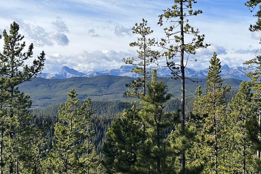 |
From the top of Greenview Hill, a few
distant peaks can be spotted through the trees including
Devils Head
at left. |
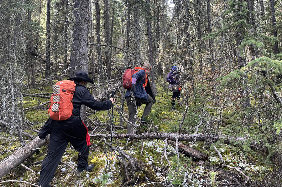 |
Shaun, Kevin and Shelley thrash their
way back up to the crest of Greenview Ridge. |
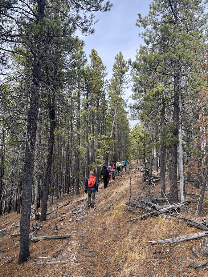 |
Upon regaining the crest of Greenview
Ridge, the group continues northward in search of the highest point. |
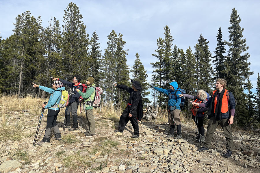 |
Everyone does their best impersonation
of
Rick Dalton near the north end of Greenview Ridge. |
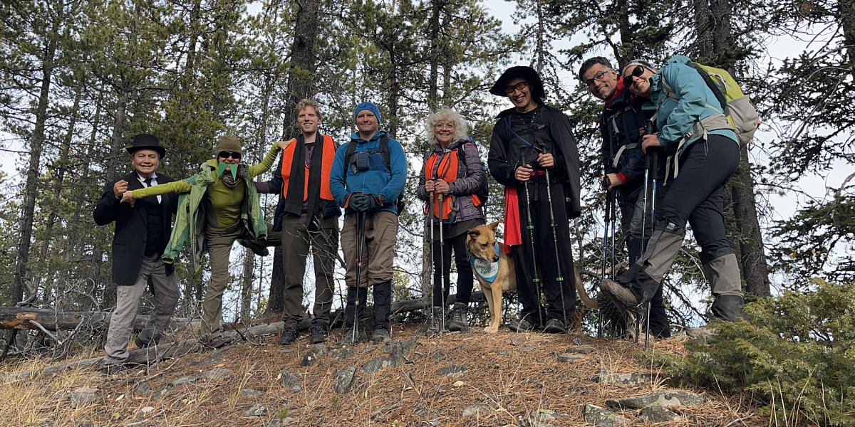
Sonny, Zosia, Kevin, Brandon, Shelley, Billie, Shaun,
Ali and Asieh stand on the presumed high point of Greenview Ridge (1784
metres).
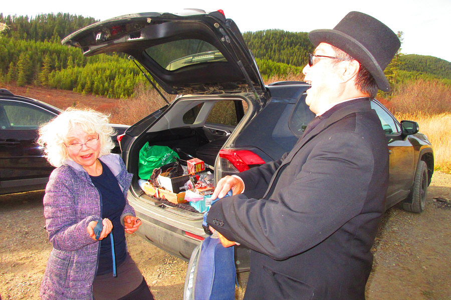 |
Just like in the movie
Goldfinger,
Oddjob gets electrocuted at the end (with Shelley's doggy shock
collar). Photo courtesy
of Zosia Zgolak |
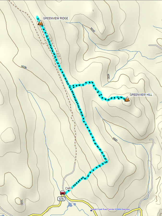 |
Total Distance: 12.7 kilometres
Round-Trip Time: 6 hours 9 minutes
Cumulative Elevation Gain: 408 metres
GPX Data |


