BOU AVENUE
History Rock
On 24 December 2024, Zosia Zgolak and I
visited Montana's Hyalite Canyon for a second time in as many days to do
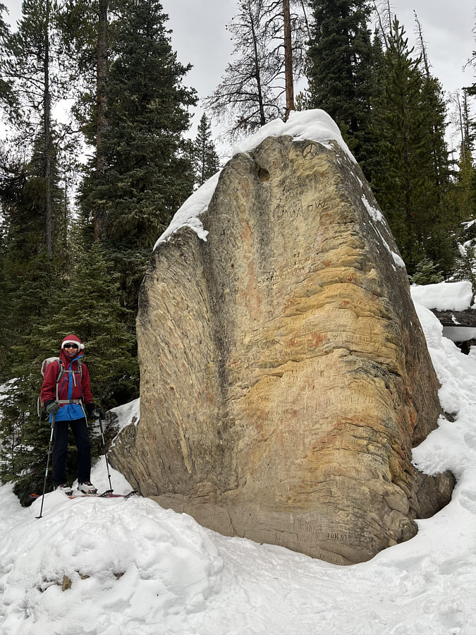
a backcountry ski tour of History Rock. The actual rock itself--a
monolith covered with modern engravings--is little more than a trailside
curiosity, but the true attraction, at least for skiers, is a series of
three open meadows situated on a nearby unnamed ridge (actually a
northern outlier of Mount Blackmore). The three meadows are easy to
access and are popular with backcountry skiers looking for steep turns
with minimal avalanche hazard.
From Bozeman, drive south out of the city on 19th Avenue which
eventually bends westward about 5.6 kilometres south of the intersection
with Blackwood Drive. Continue for another 1.6 kilometres before
turning left onto Hyalite Canyon Road. Drive 14.0 kilometres, and
turn right to enter the trailhead parking lot (no facilities but a vault
toilet is available at the Blackmore Lake Trailhead about a kilometre
further up the road). Although Hyalite Canyon Road is plowed in
winter and suitable for 2WD vehicles, the road can be perilously icy.
Go slow and drive with care.
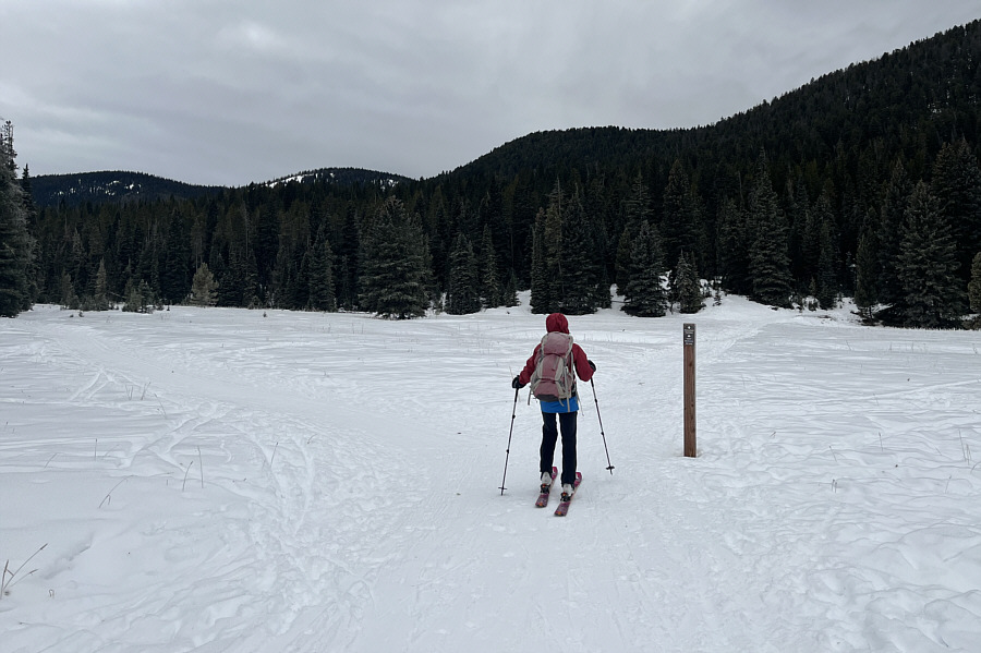
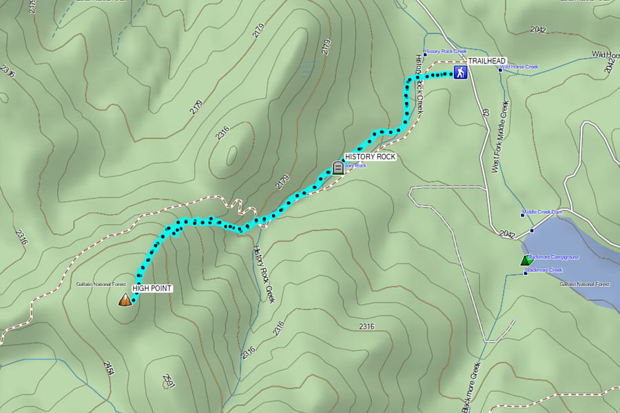
From the signed trailhead, Zosia and I followed a wide and well-traveled
track westward into a vast meadow where we immediately passed a
marked trail junction. Continuing straight, we crossed to the far
side of the meadow where the trail enters forest and then abruptly turns
southward. About 1.3 kilometres from the trailhead, we arrived at
History Rock but only stayed long enough for a quick photograph.
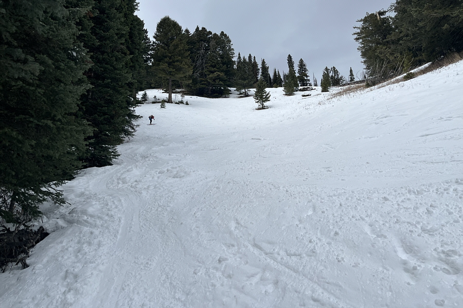
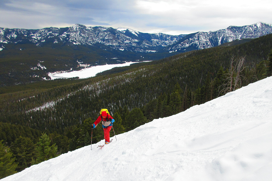
Almost a kilometre beyond History Rock, we turned steeply uphill to enter
the first of the three aforementioned meadows. Although we had
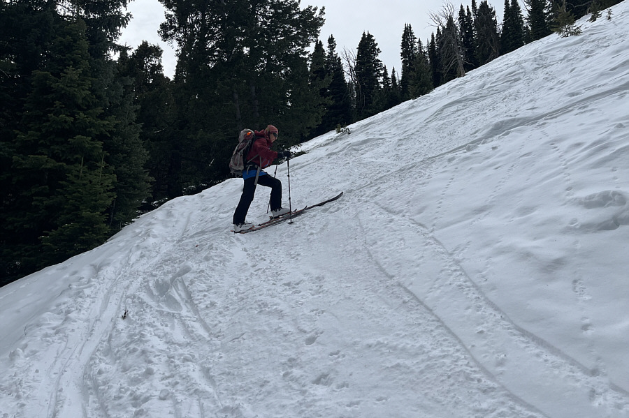
decent skin tracks to follow, the crusty snow combined with the steep
terrain prompted us to don our ski crampons fairly early. At the
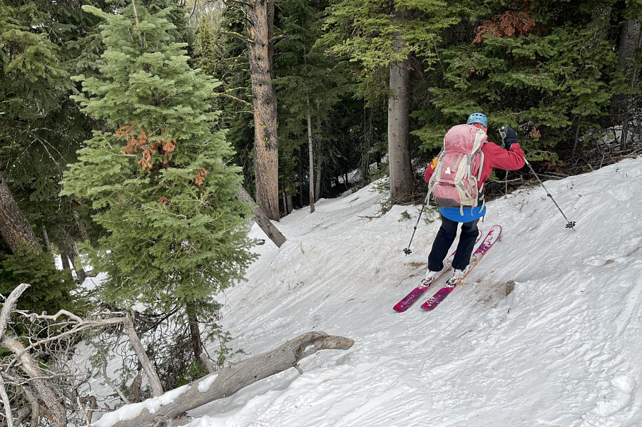
top of the first meadow, we zigzagged up a steep passageway through the
forest characterized by icy tracks and bare patches. Ascending this
passageway was already difficult enough, but I was already thinking that
descending this same section would be even harder. In the
meantime, we settled into a long grind up the second meadow which was
much wider but no less steep. The angle of the slope finally eased
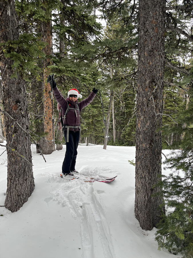
when we re-entered forest above the second meadow, and the remaining
ascent to the top of the third meadow was much more enjoyable. The
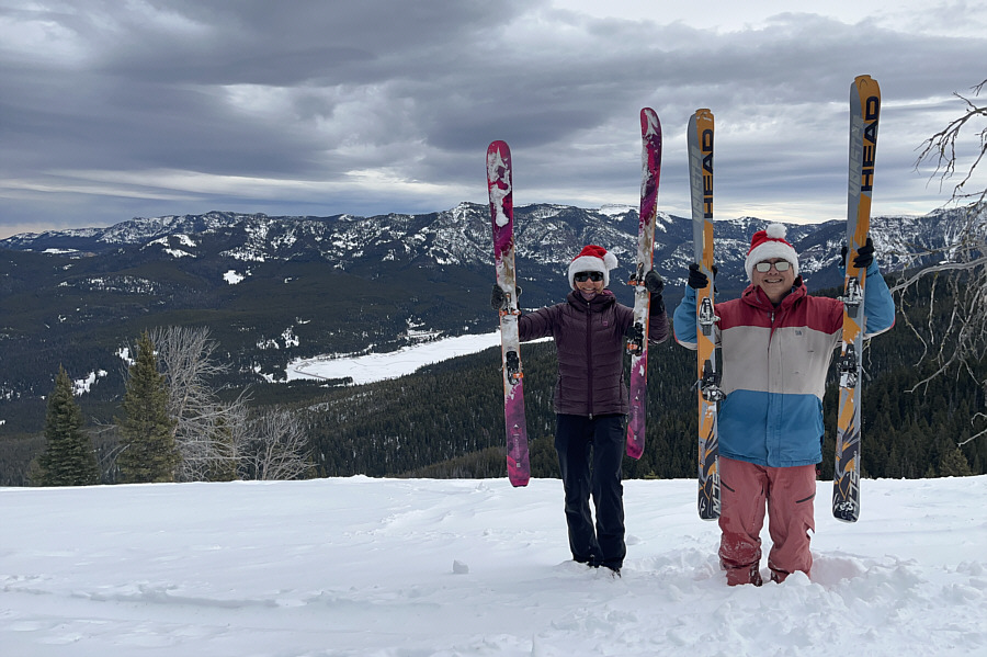
actual high point of the unnamed ridge is in some trees a short distance
from the top of the third meadow, and we ventured there to tag it before
returning to the meadow's edge for a short break.
Most skiers probably yo-yo the third meadow
when snow conditions are good, but Zosia and I were uncertain if there
was a viable outlet from the bottom to connect to the second meadow.
In the end, we were not in the mood for a potential second uphill grind
and chose to simply ski back the way we came. This was challenging
enough given the crusty snow conditions, and we took our time getting
down the ridge and the second meadow. As I had feared, the steep
passageway between the first and second meadows proved to be very tricky
to descend and ultimately entailed a lot of side-slipping and a few rock
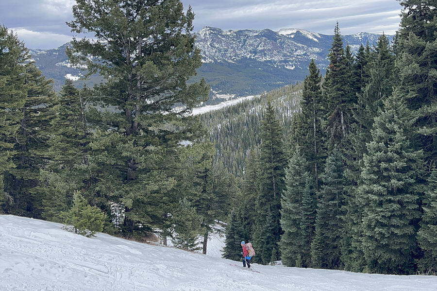
scrapes. Another less-than-graceful descent of the first meadow
brought us back to the History Rock trail, and although the cruise back
to the trailhead was fast, we still had to be mindful of a few rough
patches along the slick track.
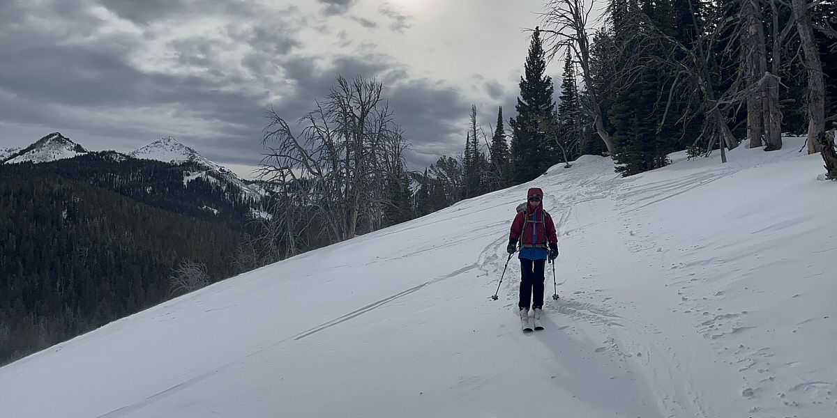
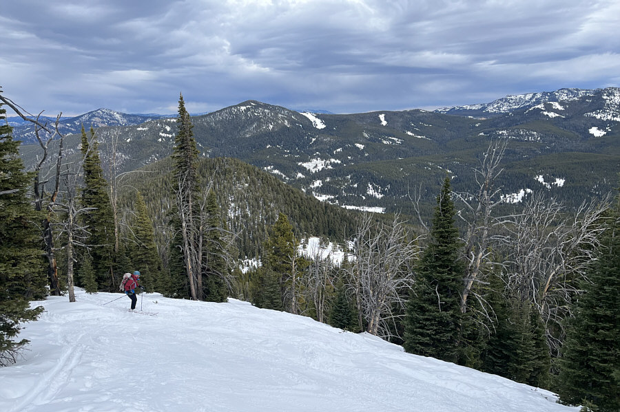
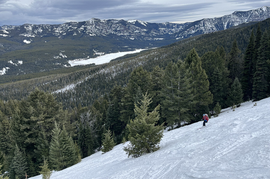
Zosia begins her descent from the top of the third
meadow.
