BOU AVENUE
Humbug Mountain
When I first visited the Oregon Coast in
2007, I
camped at Humbug Mountain State Park and had intentions of climbing its
namesake summit which is easily accessed by good trails.
Unfortunately, inclement weather dissuaded me from making an attempt, and
I would not return for another try until 15 August 2024. This time,
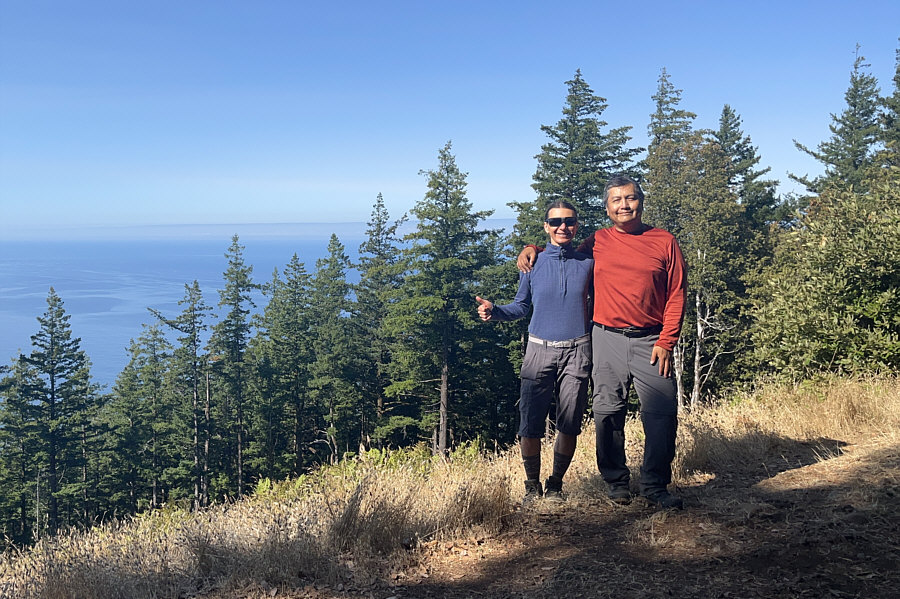
the weather was perfect, and I was accompanied by the indomitable Zosia
Zgolak.The signed trailhead
(42.68777, -124.43935) is located at a large gravel pullout on the south
side of Highway 101 about 8.6 kilometres south of Port Orford or 22.9
kilometres north of Nesika Beach. There are no facilities at the
trailhead, but vault toilets can be found at the park's day use area
about 1.8 kilometres to the east along the highway.
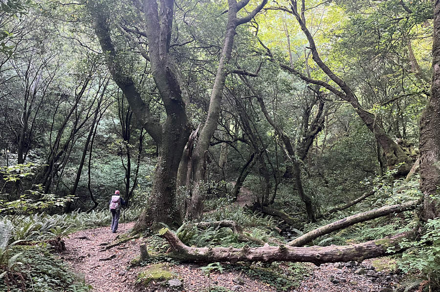
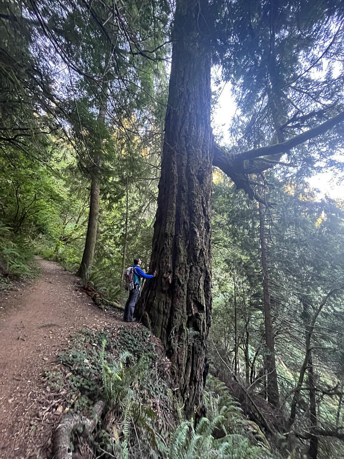
From the trailhead, Zosia and I entered
forest and began a gentle but steady climb up the easy-to-follow trail.
About 1.5 kilometres in, the trail splits with the left branch winding up
the eastern side of the mountain while the right branch climbs up the
west ridge. We opted for the slightly longer eastern approach, and
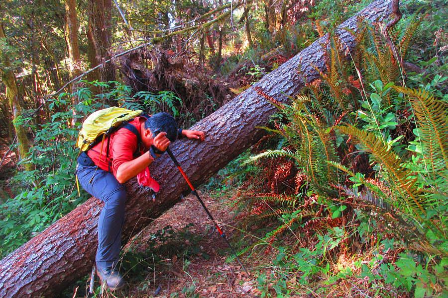
although the ascent was mostly straightforward, the very last section of
trail just before the top was wiped out by a storm some time ago.
As a result, the trail has been re-routed slightly to join up with the
last part of the other trail coming up the west ridge. The
re-routed trail is a bit rough in places, but it was nothing we could not
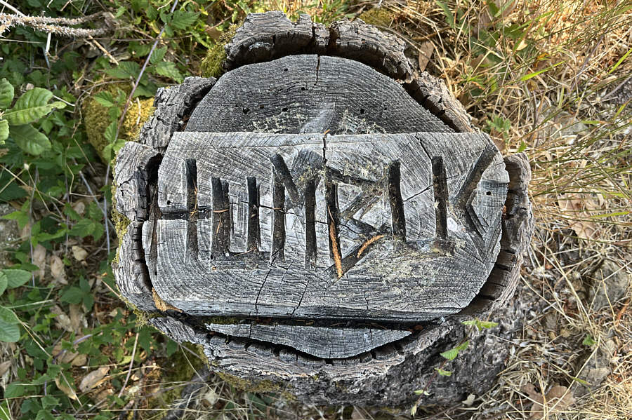
handle. Upon reaching the partially open summit, we stopped for
about half an hour before commencing our descent.
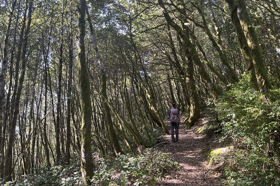
Zosia and I completed a traverse of
Humbug Mountain by descending the west ridge trail. The trail was
in good shape all the way down to the split, and we had no issues
whatsoever hiking back to the trailhead.
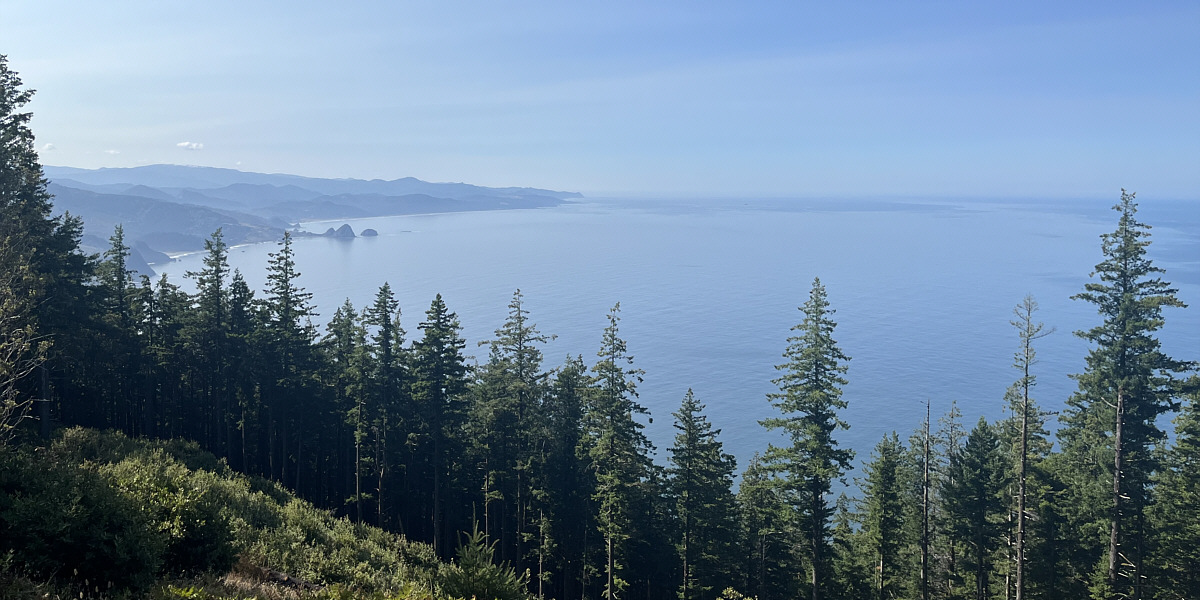
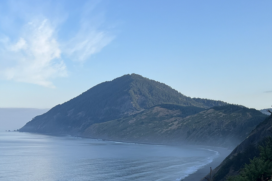
This is pretty much the only far-reaching view to speak
of on Humbug Mountain.
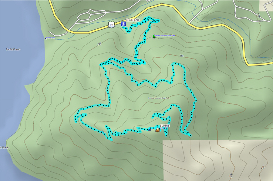 |
Total Distance: 9.1 kilometres
Round-Trip Time: 3 hours 58 minutes
Cumulative Elevation Gain: 509 metres
GPX Data |
