For our descent, Zosia and I skied down the summit ridge and back along the road almost to our short cut. During our ascent, we noticed that many of the south-facing slopes on Saddle Mountain were full of tangled deadfall likely due to previous wildfires. However, near our short cut was a patch of untouched forest, and this spot provided us three minutes of glorious skiing through pristine powder. Had we more time, this would have been an ideal place for some yo-yo skiing, but knowing we still had a long haul back to the ski resort, we simply dropped into our up-tracks and turned homeward. The return along the west arm of Lewis and Clark Ridge was not difficult but felt largely uninspiring. Instead of climbing back over the high point of the ridge, we followed the road all the way to the yurt and re-entered the ski resort shortly beyond. Unfamiliar with LTSA, we were not entirely sure which ski runs we needed to take to get back to the day lodge, but as it turned out, we did not have much to choose from and ended up on a major thoroughfare called "Lower Oreo". Perhaps the most challenging aspect of the descent was having to cling for dear life on a short rope tow to get over a final minor hump just before the day lodge. I found this to be an odd design for a ski run that is supposed to funnel skiers efficiently back to the base area. I am not even sure if we were technically allowed to use the rope tow without a full lift ticket, but the attendant there was not checking anyway.
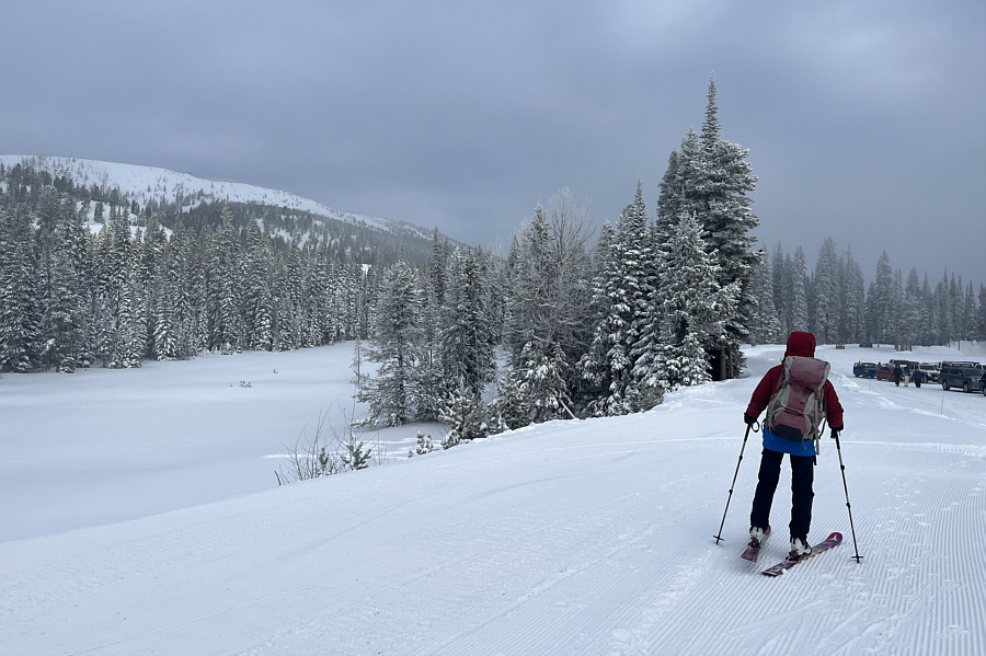 |
Zosia sets off along a groomed path beside the ski resort's parking lot. She will eventually take Chairlift 4 to the top of Lewis and Clark Ridge at far left. |
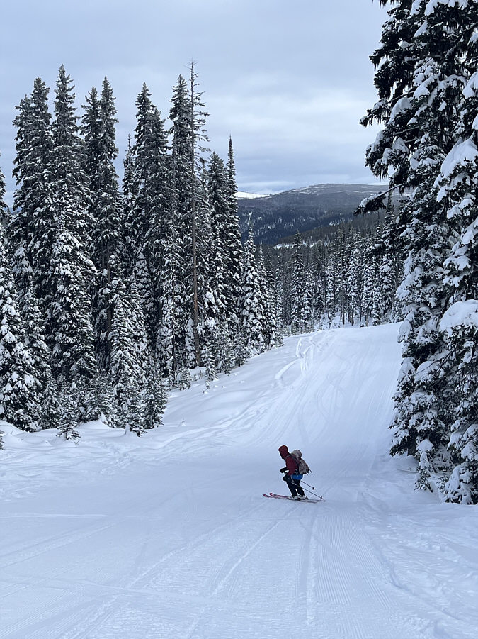 |
Zosia descends the green ski run known as "Gunsmoke". |
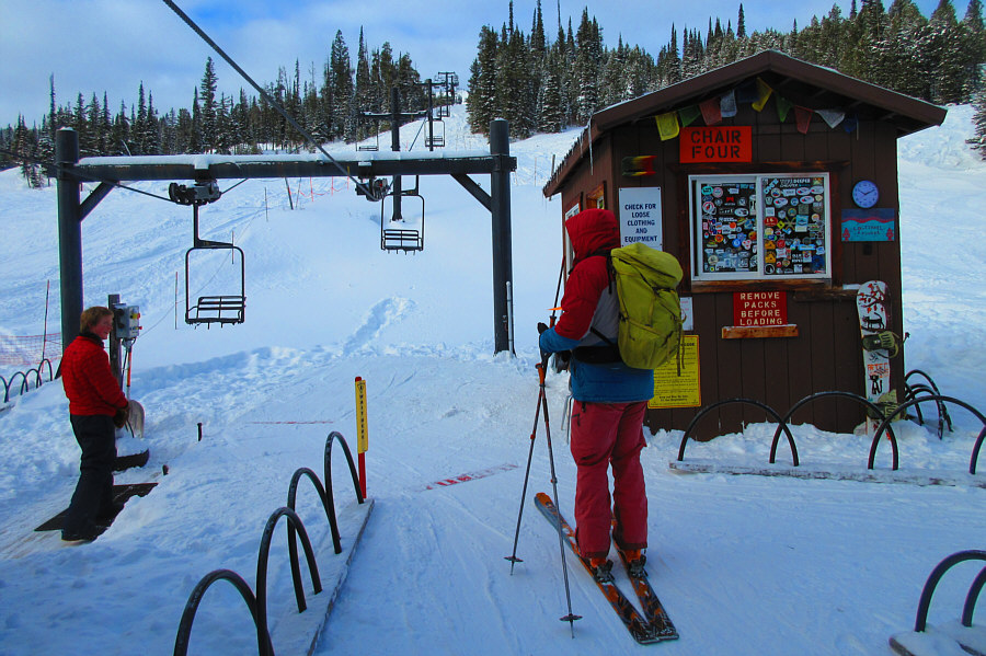 |
Sonny prepares to ride up Chairlift 4. Photo courtesy of Zosia Zgolak |
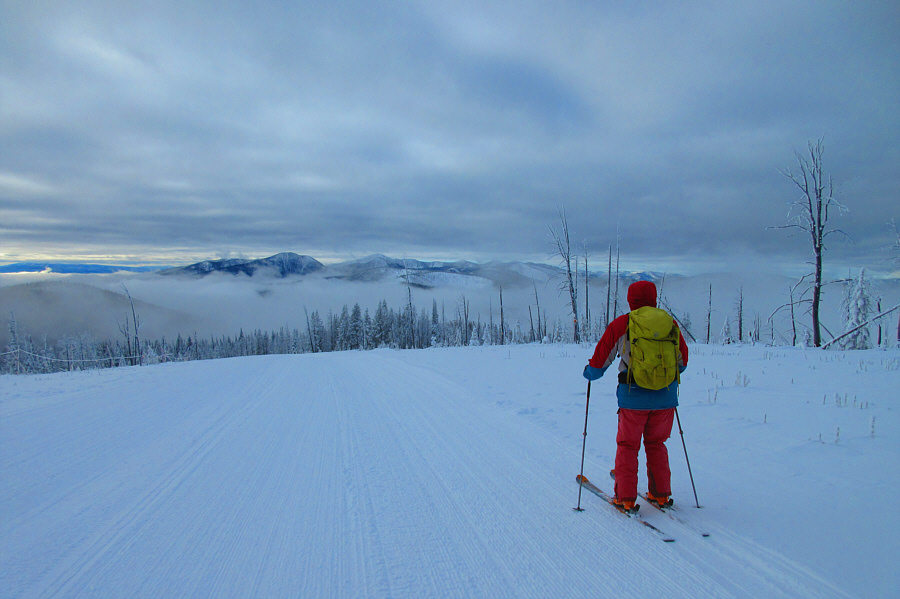 |
Sonny skis over the high point of both Lewis and Clark Ridge (2504 metres) and the ski resort. He will soon turn right to exit the resort and head into the backcountry. Photo courtesy of Zosia Zgolak |
 |
Zosia follows some old tracks down the slope on the Idaho side of the state boundary. |
 |
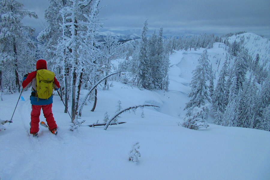
Zosia skis along the west arm of Lewis and Clark Ridge. |
 |
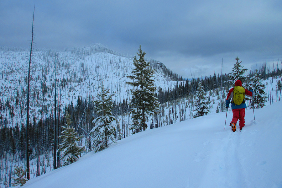
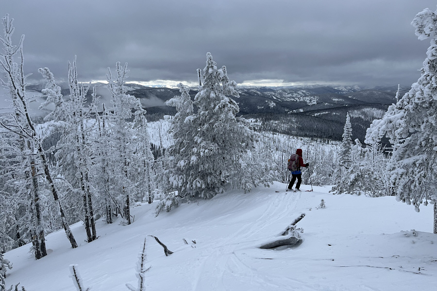
Zosia gets her first look at Saddle Mountain in the distance. |
 |
There is actually a road here which is covered with snow drifts. |
 |
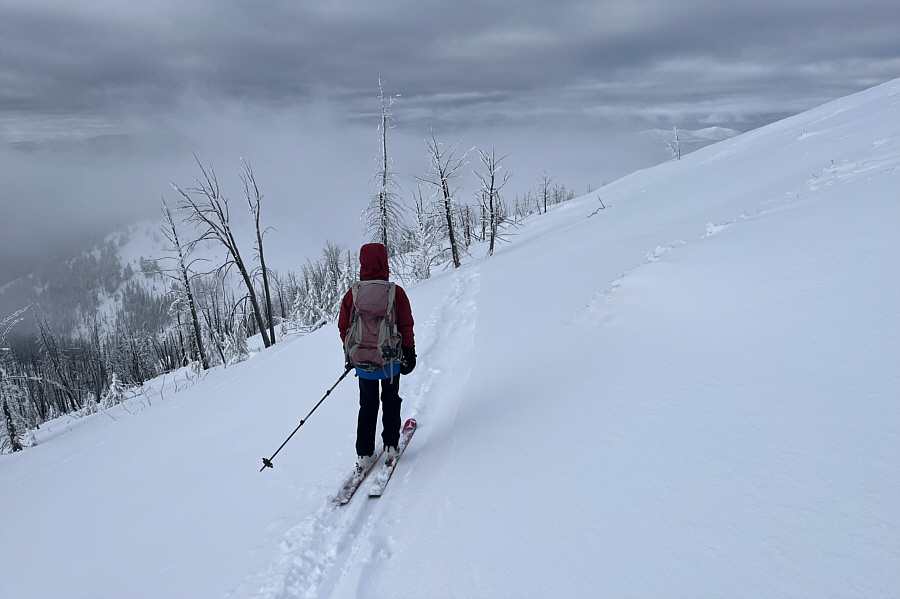
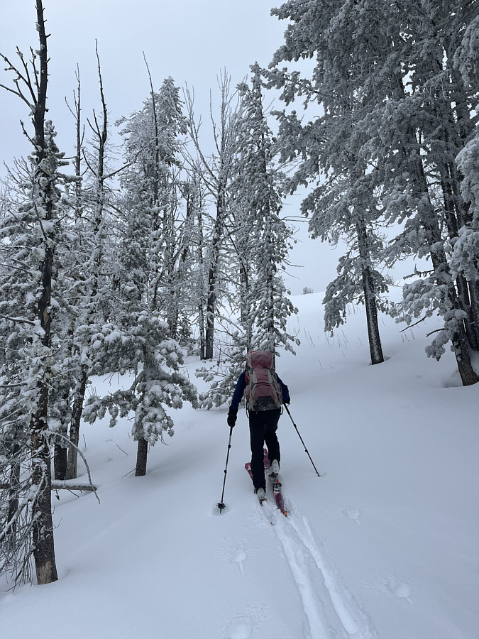
Sonny breaks trail along the
continuation of the road and re-enters Montana. Photo courtesy of Zosia Zgolak |
 |
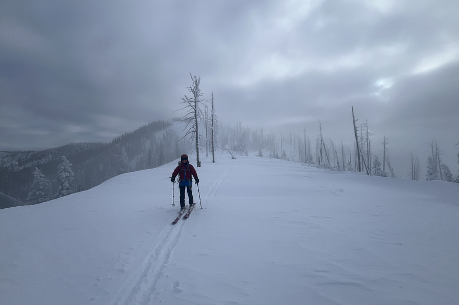
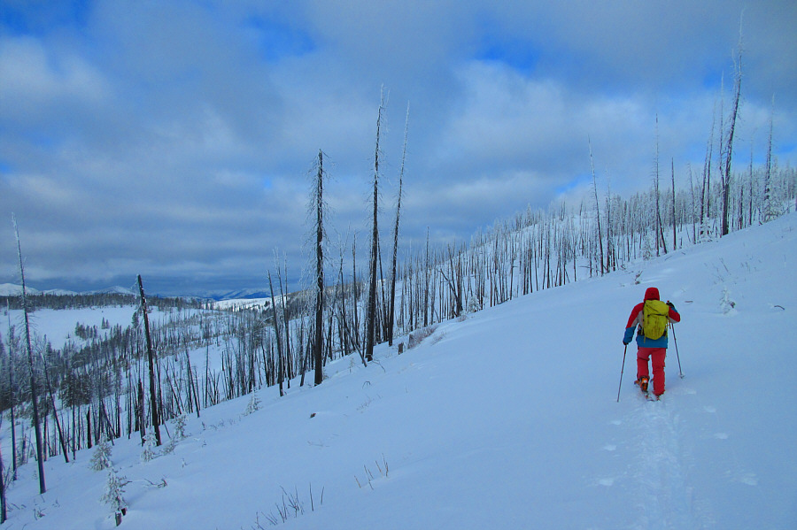
Saddle Mountain comes back into view
as Sonny winds around the west end of Lewis and Clark Ridge. Photo courtesy of Zosia Zgolak |
 |
After briefly losing the road, Zosia regains it below the south-facing slopes of Saddle Mountain. |
 |
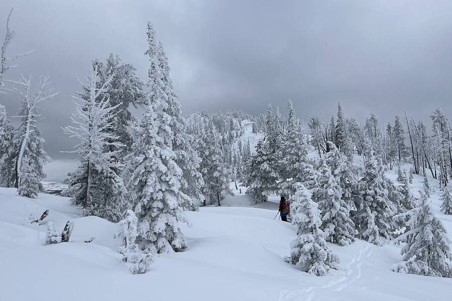
This steep short cut shaves off about half a kilometre from the approach. |
 |
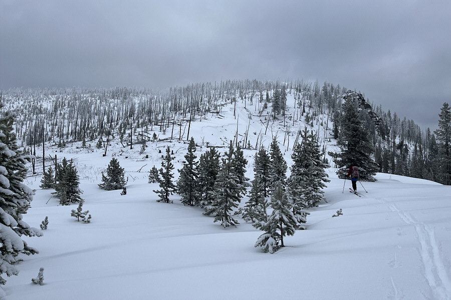
The road ends here before the final rise to the summit. |
 |
Snow coverage is a little thin in some spots near the top. |
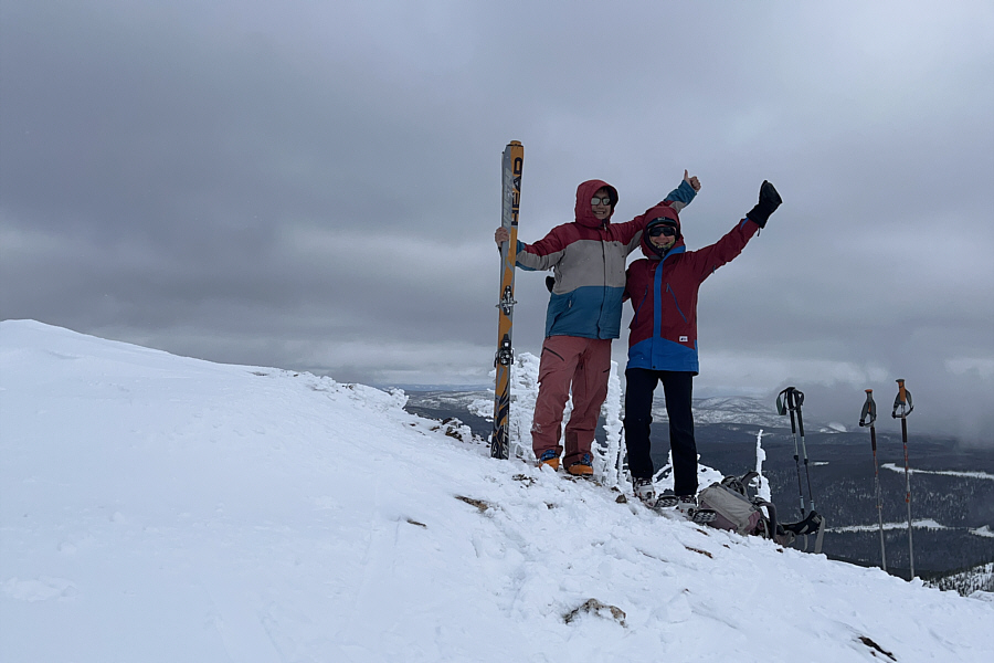 |
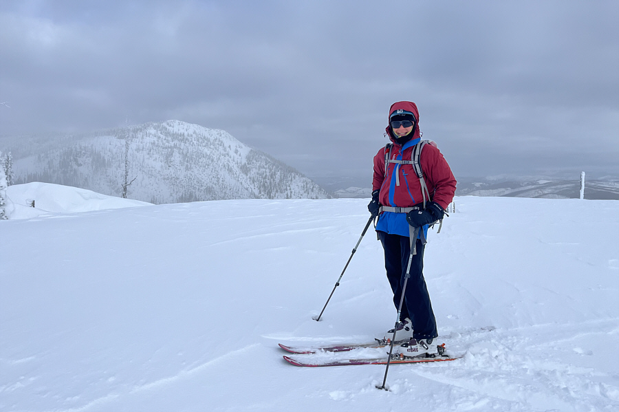
Sonny and Zosia stand on the summit of Saddle Mountain (2594 metres). |
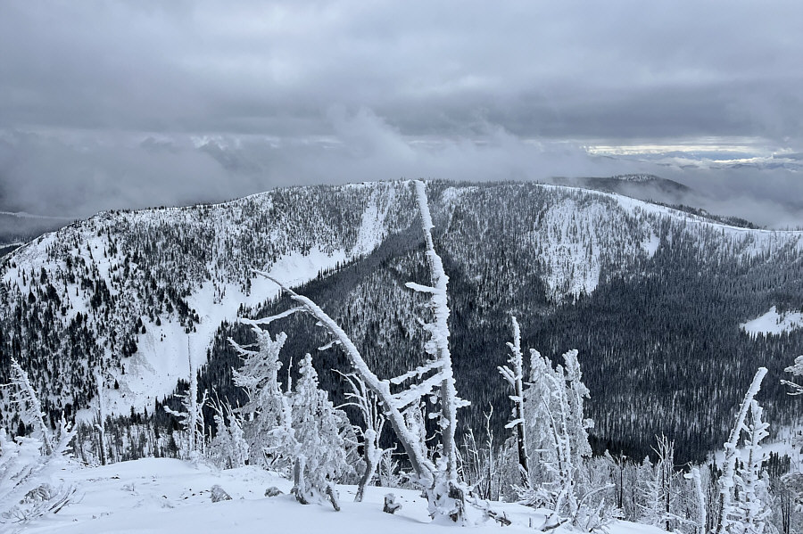 |
This is looking southeast toward the high point of Lewis and Clark Ridge. |
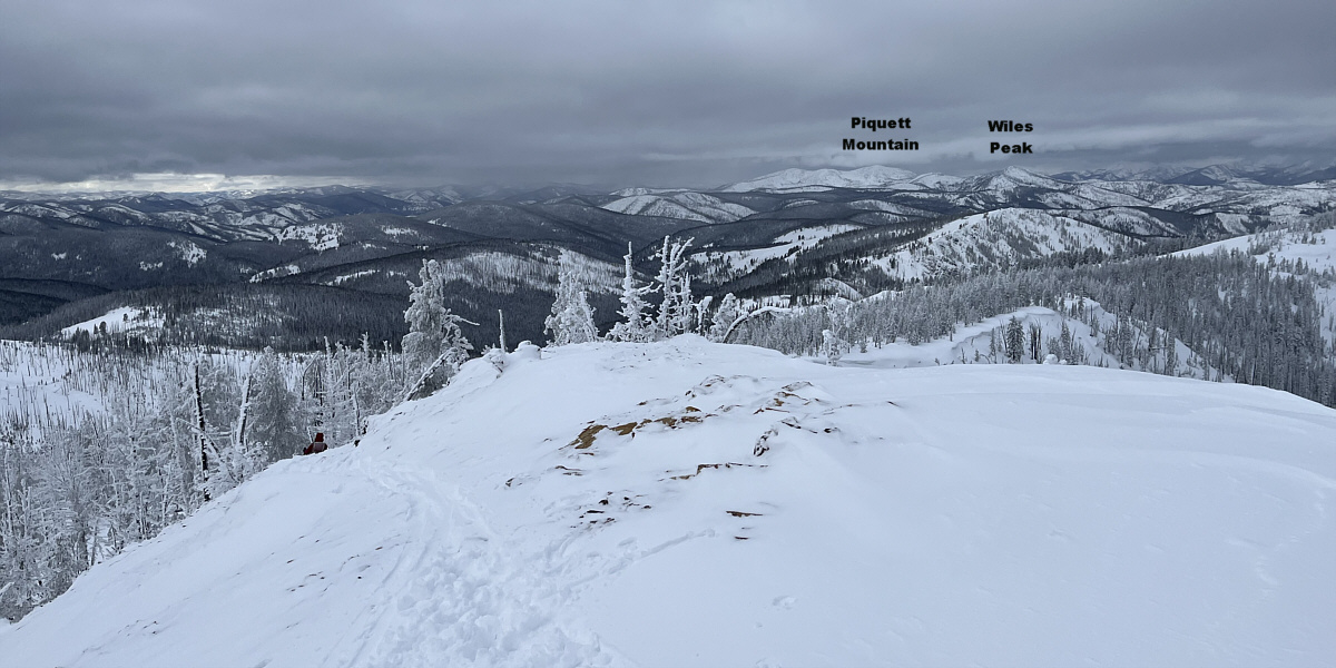
Despite the cloud cover, some intriguing peaks can be seen to the west.
 |
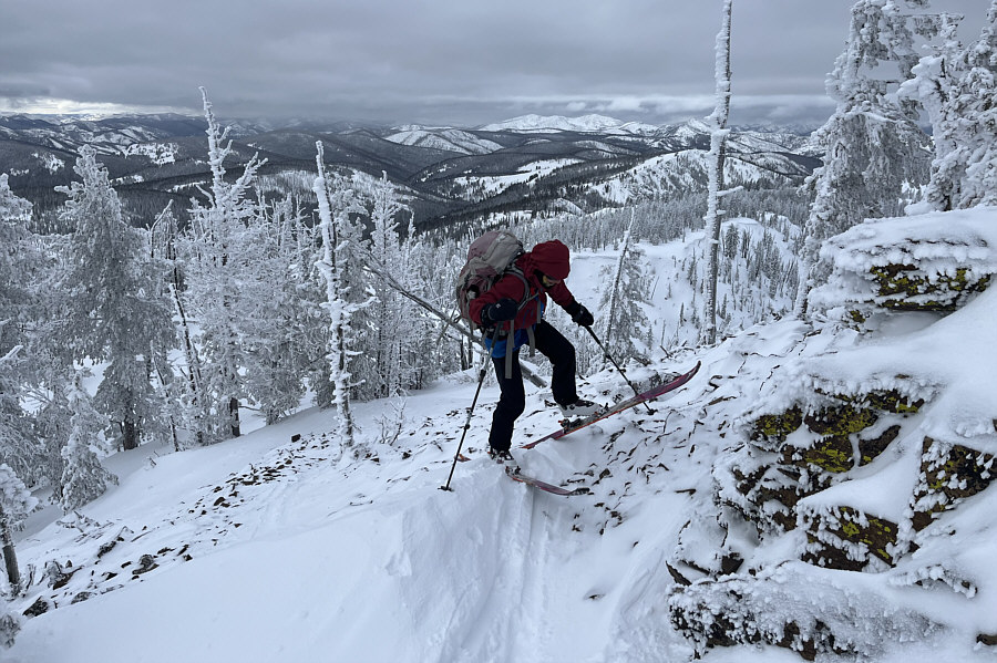
Zosia carefully skis back down the west end of Saddle Mountain's summit ridge. |
 |
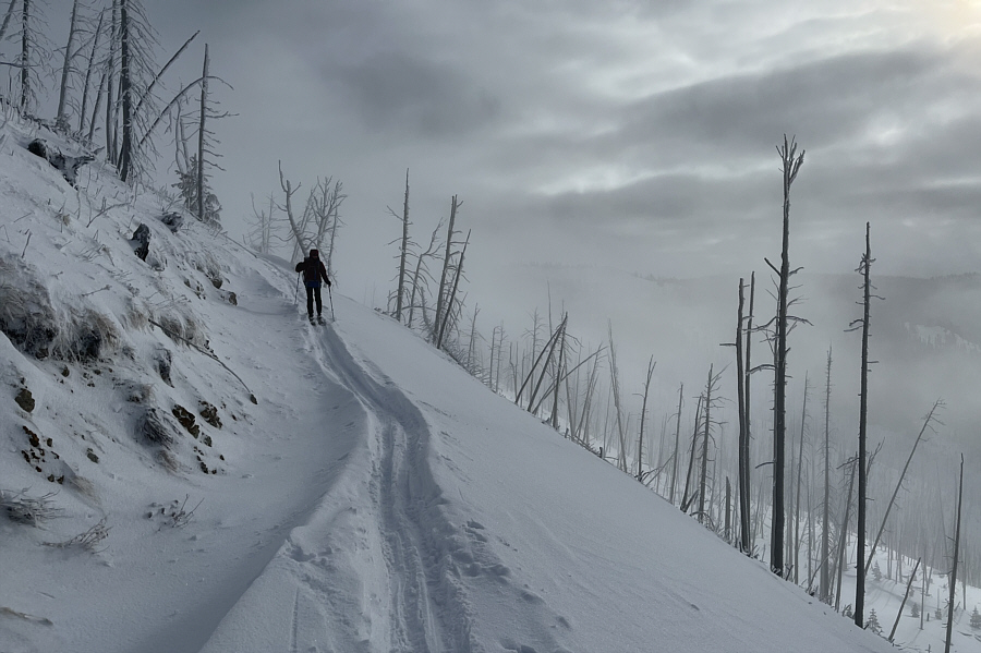
Descending the summit ridge is a bit
of a mixed bag, but there would be some excellent skiing to come
later off
the west ridge. Photo courtesy of Zosia Zgolak |
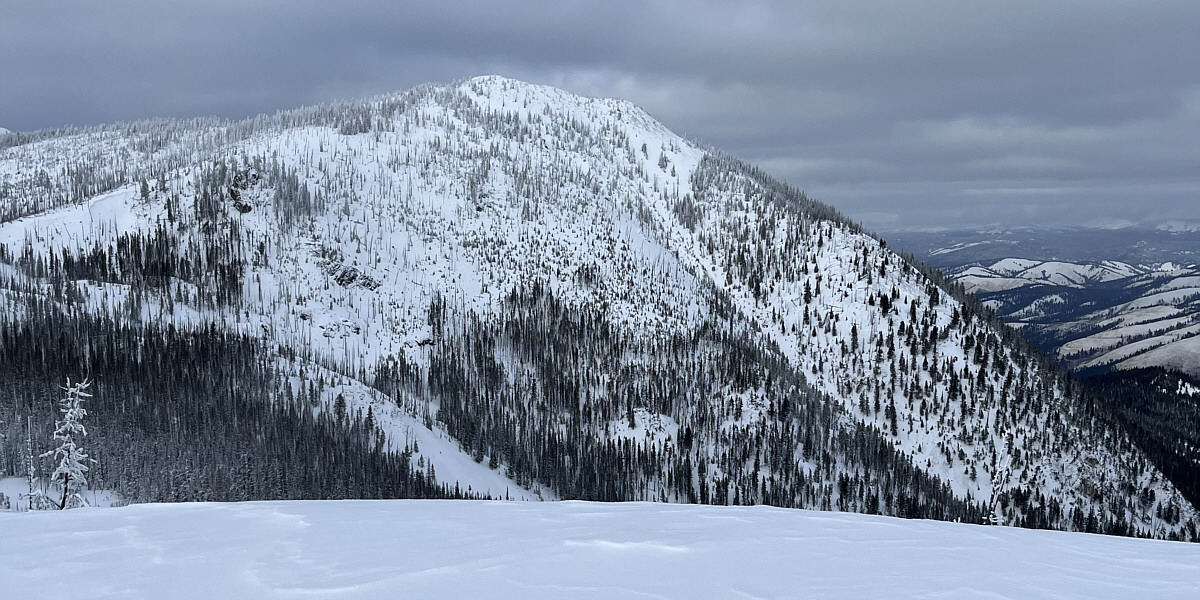
Here is a last look at Saddle Mountain from the west arm of Lewis and Clark Ridge.
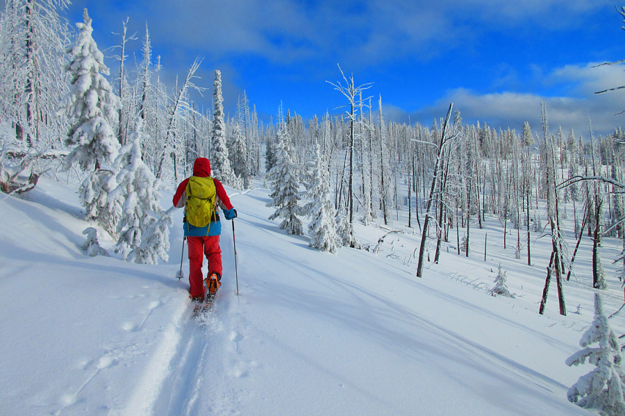 |
The sky finally begins to clear up
late in the day as Sonny makes his way back to the ski resort. Photo courtesy of Zosia Zgolak |
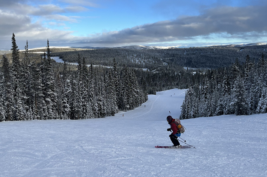 |
Zosia descends the blue ski run known as "Lower Oreo". |
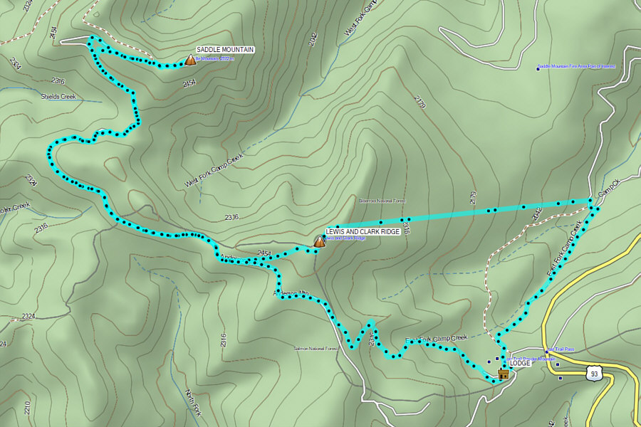 |
Total Distance: 17.8 kilometres Round-Trip Time: 6 hours 5 minutes Cumulative Elevation Gain: ~268 metres (excludes ski lift gain) |