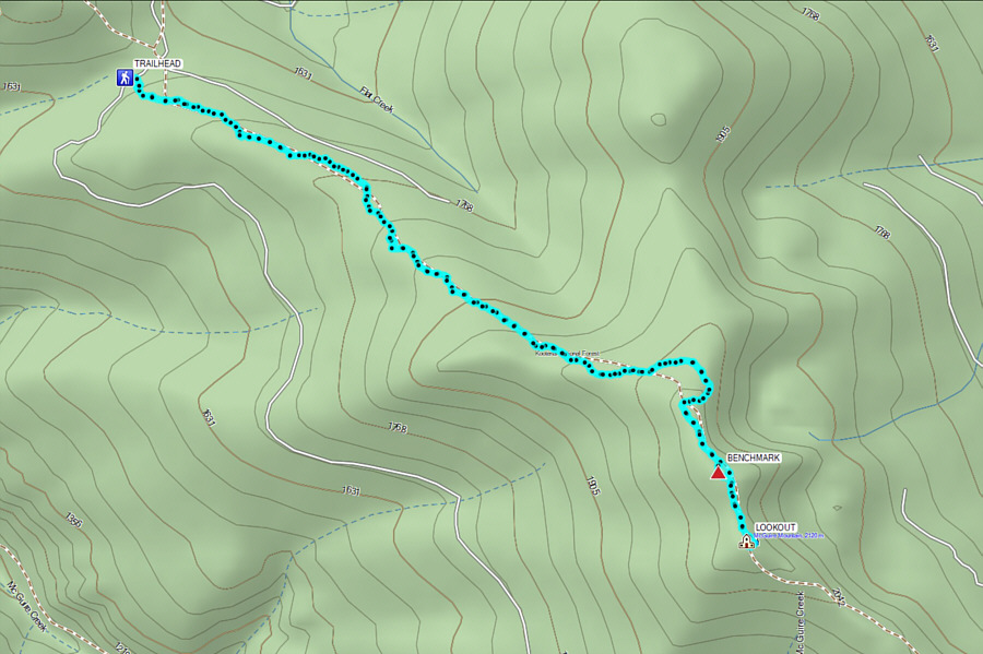
From Highway 37, turn east onto National Forest Road (NF) 619 (2WD gravel), 29.0 kilometres southwest of the junction with Highway 93 near Eureka or 79.0 kilometres northeast of the junction with US Highway 2 in Libby. Drive 3.4 kilometres and turn right onto NF 7993. Drive 16.0 kilometres and park in a large pullout on the right (no facilities). The signed trailhead is a few metres before the pullout on the opposite (east) side of the road.
Starting before dawn, Zosia and I followed trail 446 into the forest, and in about 700 metres, we briefly joined the tail end of a road which leads to an old mine site about 100 metres further. Staying to the left (north) of the mine site, we picked up the trail again and settled into a gentle climb up McGuire Mountain's broad northwest ridge. Although most of the trail is in forest with little to see, the hiking was very pleasant and stress-free. Around the four-kilometre mark, we gained the north end of the summit ridge where the terrain is a little more open. We then hiked over a subsidiary bump and into a slight dip before finishing the ascent at the fire lookout (there is also a convenient outhouse nearby). The interior of the lookout was nicely tidy and well-stocked with supplies for anyone choosing to stay overnight. After poking around the inside of the lookout, we went back outside and found a nice spot for a break on the east side of the summit. Our break ended up stretching out for well over an hour as we took advantage of cellular reception to try out the PeakVisor application on my phone as well as to make a video call to my mother in Calgary.
For our descent, Zosia and I backtracked
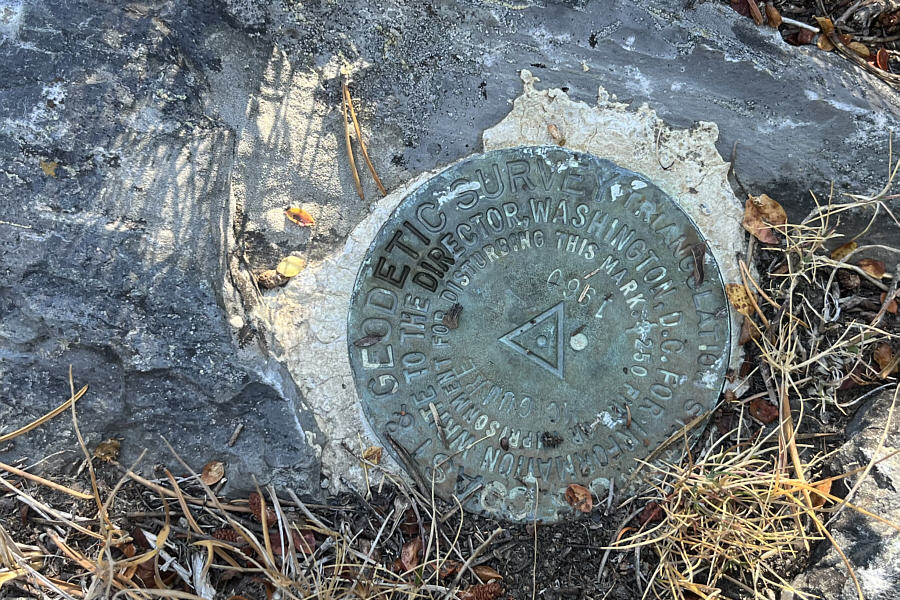
to the subsidiary bump where we took a short off-trail detour to find a
survey benchmark. We then returned to the trail and hiked back to
the trailhead the same way without any issues.
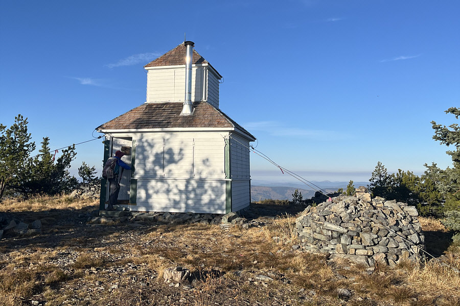
Zosia enters the fire lookout at the summit of McGuire Mountain (2132
metres).
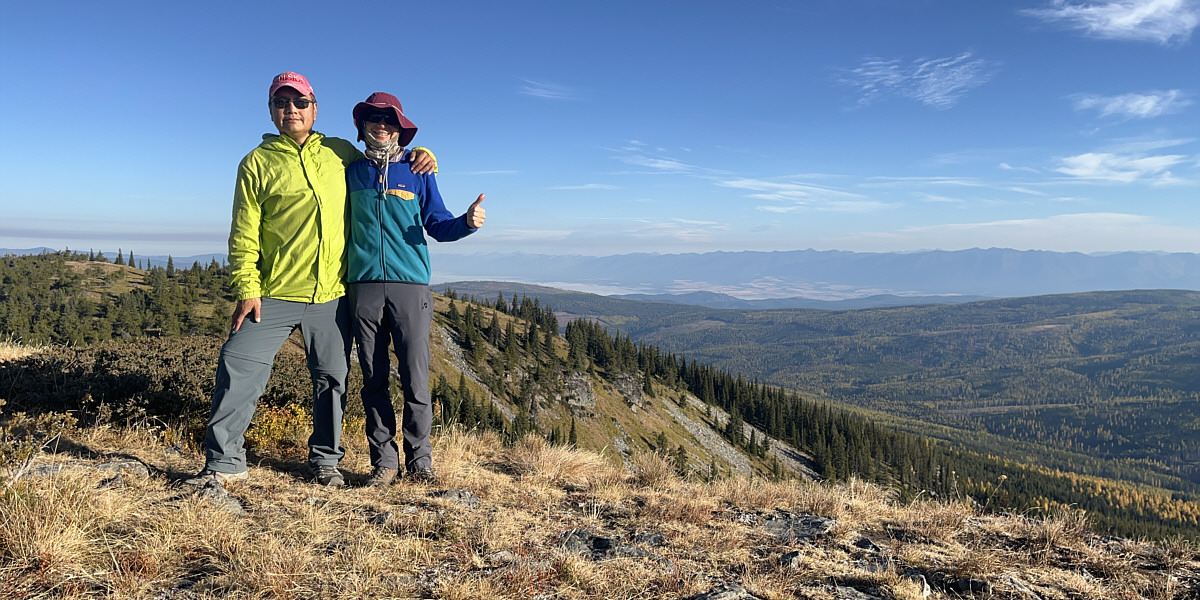
Sonny and Zosia pose together near the top of McGuire
Mountain. Some of the mountains on the horizon are in Canada.
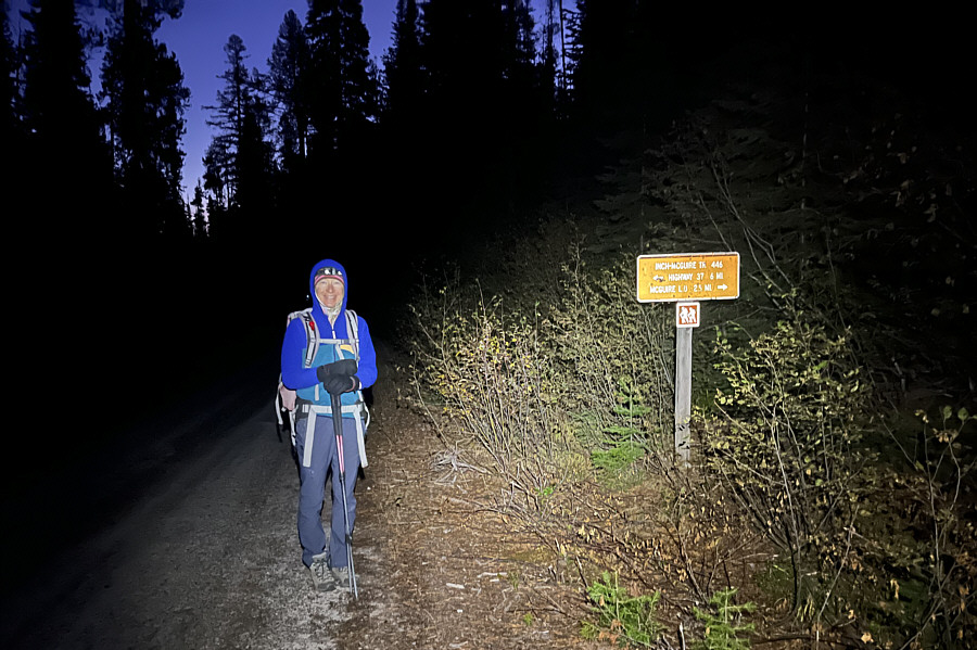
Zosia begins hiking from the trailhead
before sunrise.
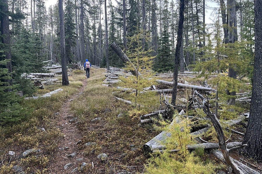
A few larches along the trail are
still transitioning from green to golden.
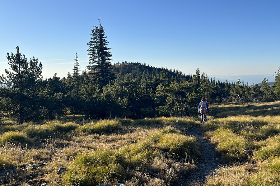
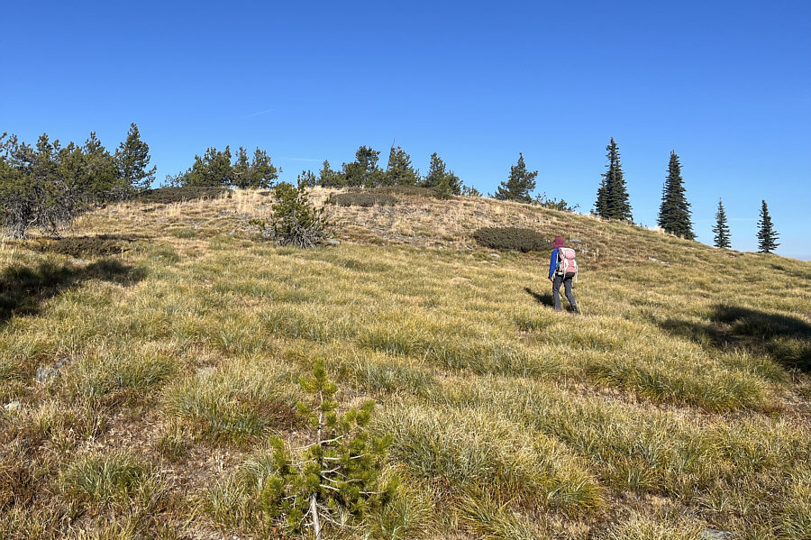
The fire lookout atop McGuire Mountain
is in sight as Zosia approaches the last part of the ascent.
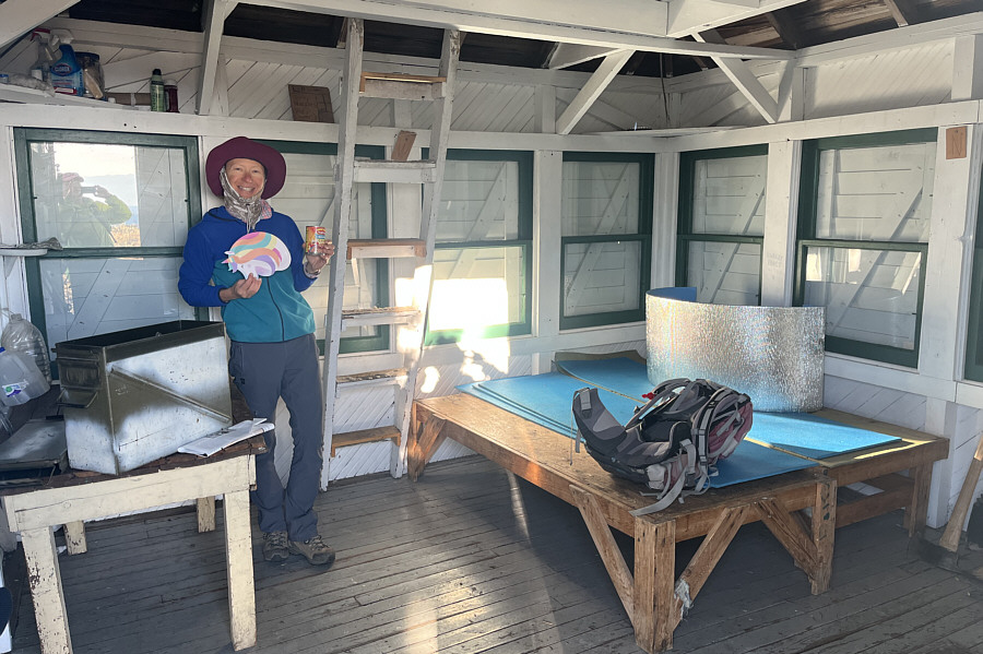
Although the fire lookout is no longer
active, it appears to be well-maintained and well-stocked
for overnight stays.
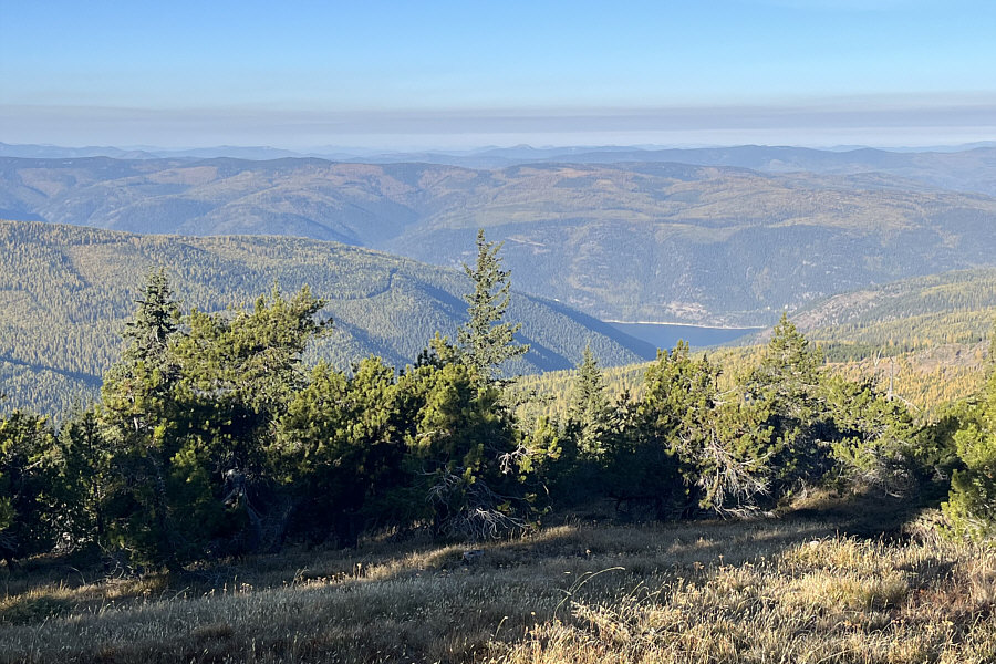
A small section of Lake Koocanusa is
visible to the west from the summit.
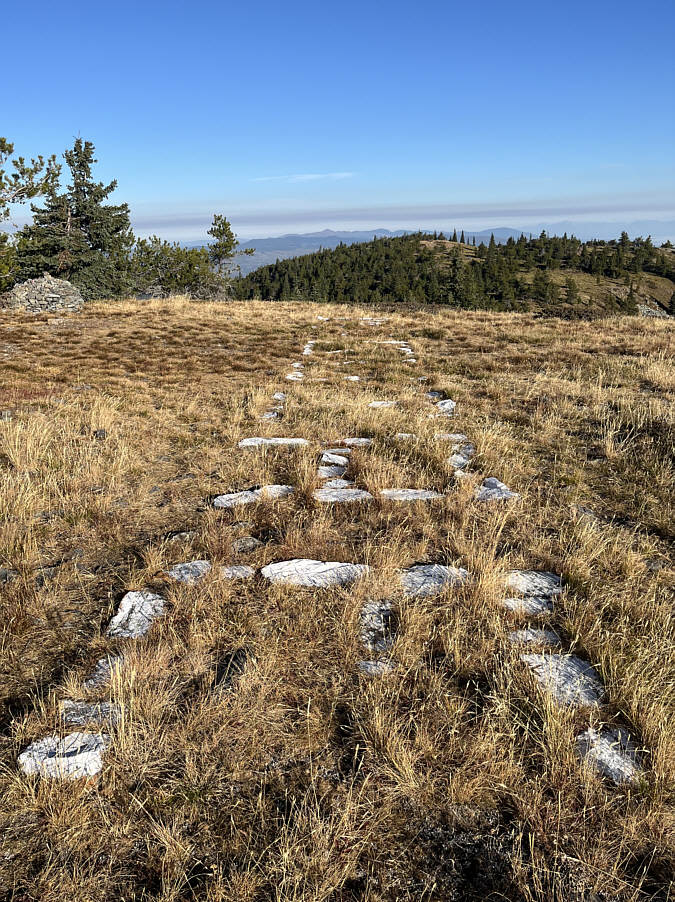
It is hard to read from this angle,
but the whitewashed rocks near the summit spell out the name of the
mountain.
After retreating from the summit,
Zosia goes off-trail on a subsidiary bump to locate
McGuire Mountain's survey benchmark.
Here is McGuire Mountain's survey
benchmark (2127 metres).
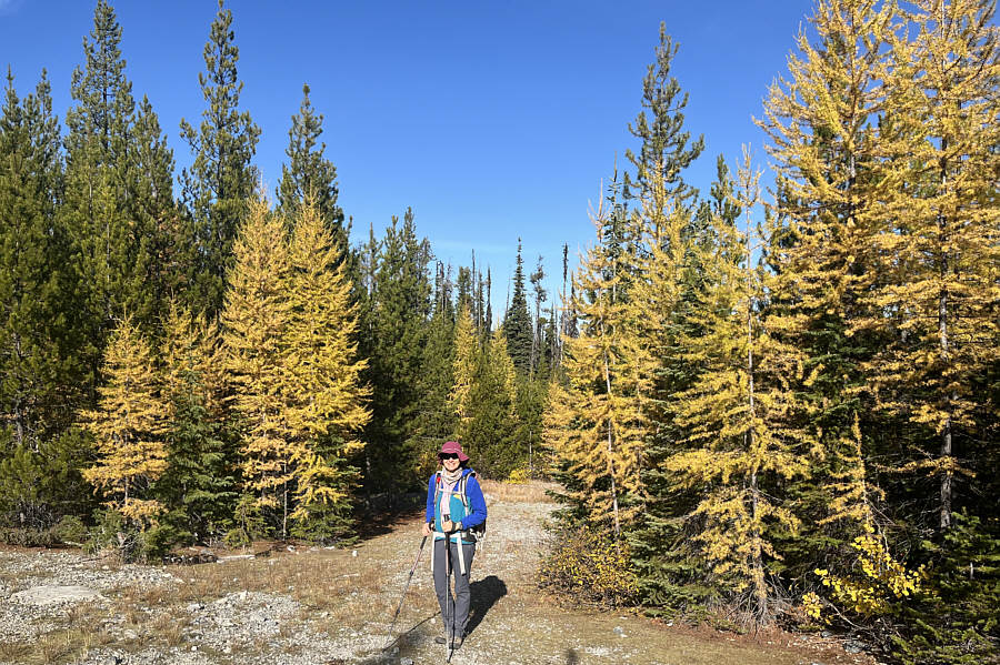
On the way out, Zosia stops to admire
some golden
larches near an old mine site.
Total Distance: 11.8 kilometres
Round-Trip Time: 4 hours 59 minutes
Cumulative Elevation Gain: 484 metres