BOU AVENUE
Moyie Lookout

Wrapping up the Canada Day long weekend on 1 July 2024, Zosia Zgolak and I hiked up Moyie Lookout located about 28 kilometres south of Cranbrook, British Columbia.  The unsettled weather forecast for the region had us scrambling for a suitable hiking objective, and Moyie Lookout fit the bill with its easy access and negligible route-finding challenges.  The hike is described in Mike Potter's Fire Lookout Hikes in the Canadian Rockies and is nothing more than a walk up a maintained service road.

Turn south onto Sunrise Road from Highway 95 about 3.1 kilometres south of the community of Moyie or 29.5 kilometres north of the hamlet of Yahk.  Drive 2.6 kilometres and turn left onto Yahk River Forest Service Road (2WD gravel).  Immediately keep right at a split, and drive 9.7 kilometres before turning left onto a narrower road heading northward.  It is possible to drive the narrower road another 4.0 kilometres to a junction with Farrell Creek Road, and from there, a vehicle with high clearance or a determined driver could make it up the remaining 2.8 kilometres to the top of Moyie Lookout.  We elected to park our car only 600 metres up the narrower road and walk from there.

From where we parked, Zosia and I walked along the narrower road to the junction with Farrell Creek Road.  Turning right, we continued up a rougher road and turned northward again at a switchback about 1.2 kilometres past the junction.  In another 1.1 kilometres, we passed a telecommunications installation before walking up the remaining short distance to the top of Moyie Lookout.  A concrete foundation is all that remains of the former fire lookout building.  After taking our requisite photographs, we retreated to the shelter of some nearby trees for a short break.

For our return trip, Zosia and I walked southward past the telecommunications installation and stayed on the ridge crest a bit longer before dropping back down to the rougher road.  When we reached the aforementioned switchback, we took a short cut and dropped down through fairly light bush before popping out again on the narrower road below.  This shaved off at least two kilometres of extra distance from our hike.  The remaining walk back to our parked car and the subsequent drive to the highway went without a hitch.  Miraculously, we escaped the rain for the duration of this trip.
We're here to hike, right? 
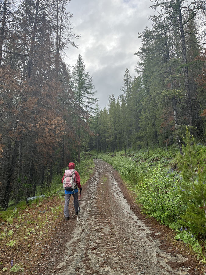
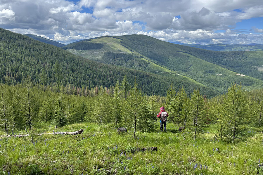
Zosia hikes up the still-drivable access road to Moyie Lookout.
Always a pleasing sight!

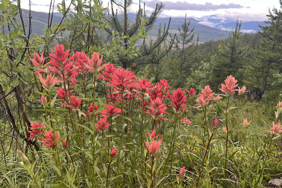
A cluster of Indian paintbrushes flourish beside the access road.

The road is a little bit rougher but still quite drivable. 
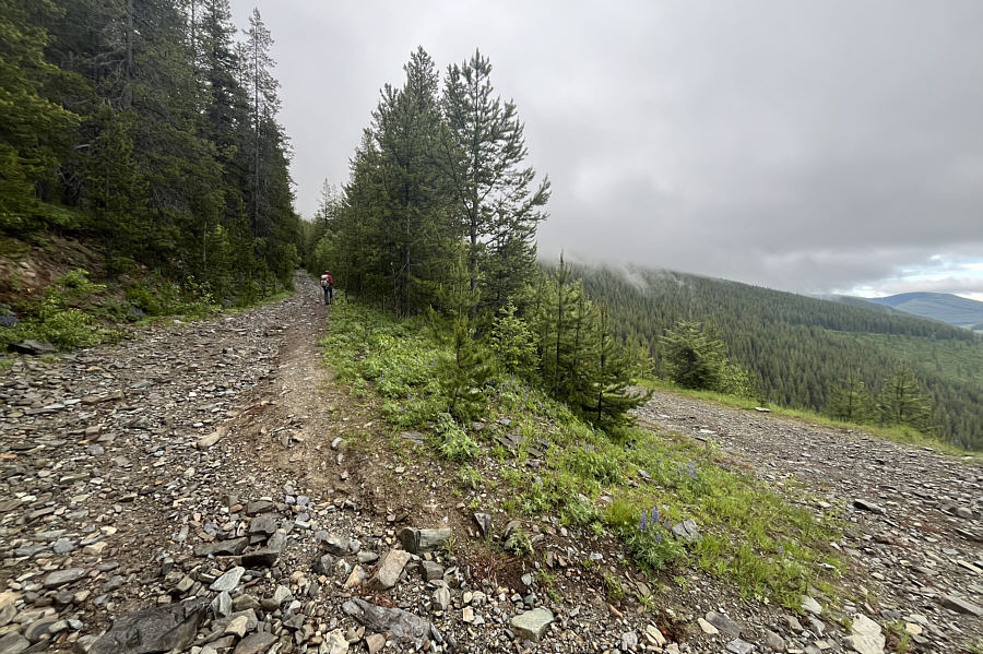
Zosia turns up a rougher road at the junction with Farrell Creek Road.
Sorry, no Wi-Fi here! 
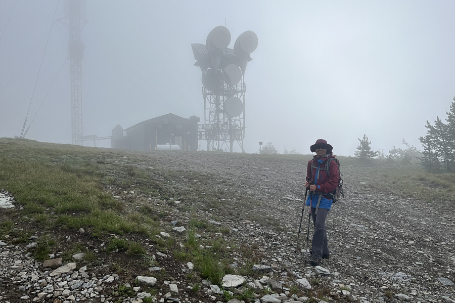
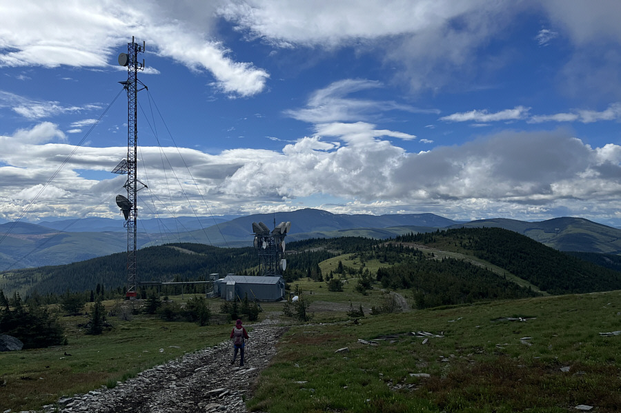
Just before the lookout site is a telecommunications installation.
Apparently, there's a geocache under a rock about 8 paces southwest of the foundation.

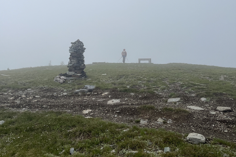
A large cairn and a concrete foundation can be found at the top of Moyie Lookout.

R.I.P. Joseph Philpot (1930-2001) 
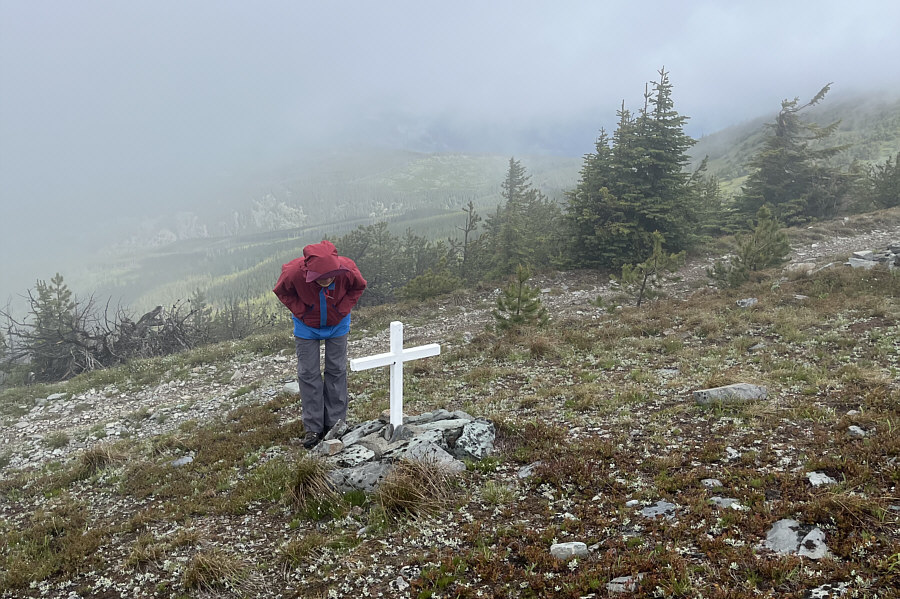
Zosia examines what appears to be a memorial or grave site just below the top.
O Canada! 
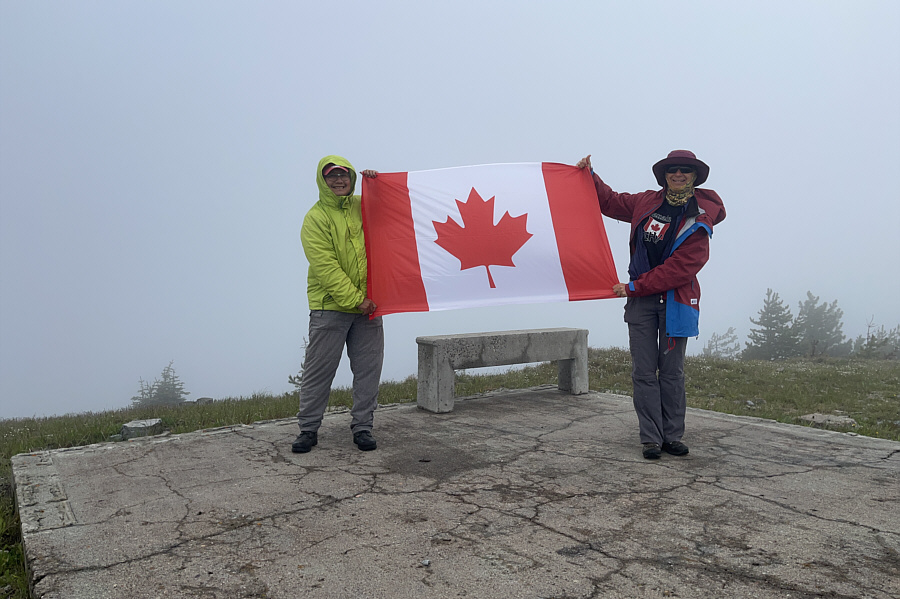
Sonny and Zosia celebrate Canada Day on top of Moyie Lookout (2101 metres).
It figures that the sky would clear just as we were about to descend back into the forest! The sky clears up as Zosia descends to the telecommunications installation.
Beautiful bird! 
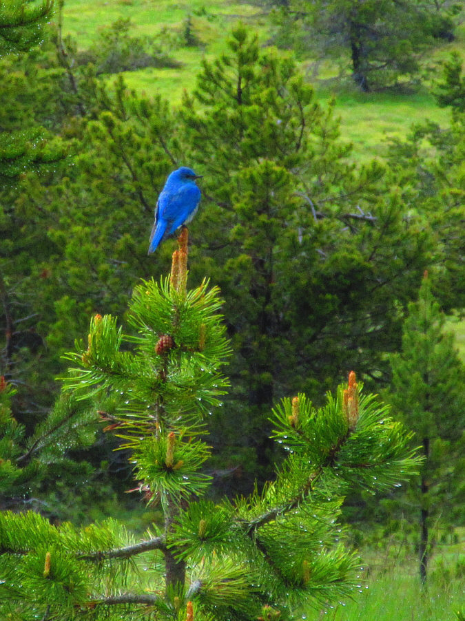
A mountain bluebird is perched atop a pine tree.

Photo courtesy of Zosia Zgolak

Just more views of dull forested ridges!

Zosia drops down a road beside a natural gas pipeline.  The top of Moyie Lookout is visible at far right.


Chicken? 
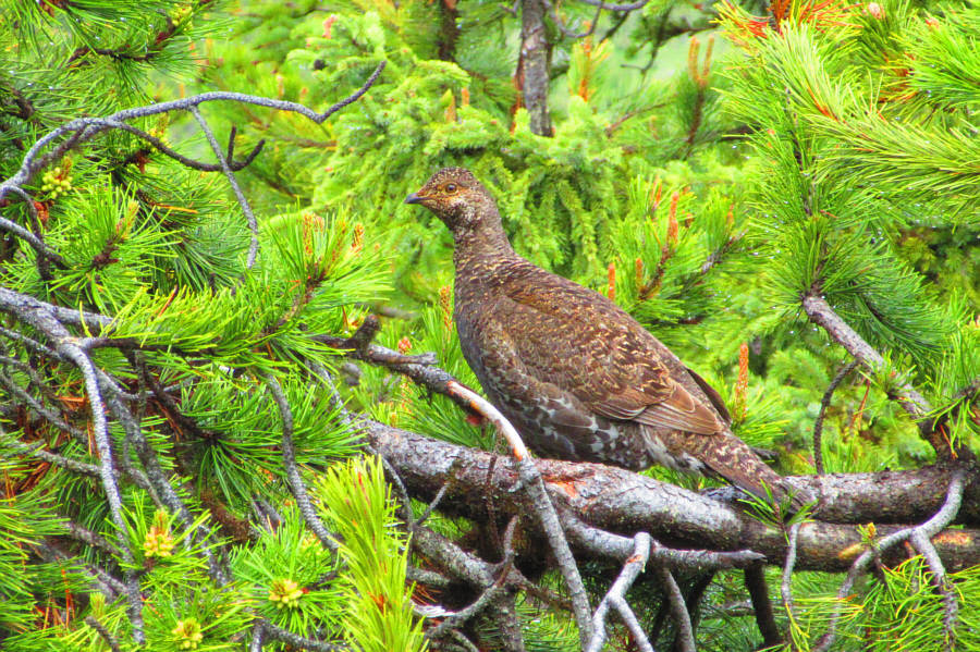
A female grouse tries to remain inconspicuous in a tree beside the access road.

Photo courtesy of Zosia Zgolak

Easy bushwhacking. Zosia takes a short cut to avoid a long switchback in the access road.
Possibly a great place for tree skiing in winter... 
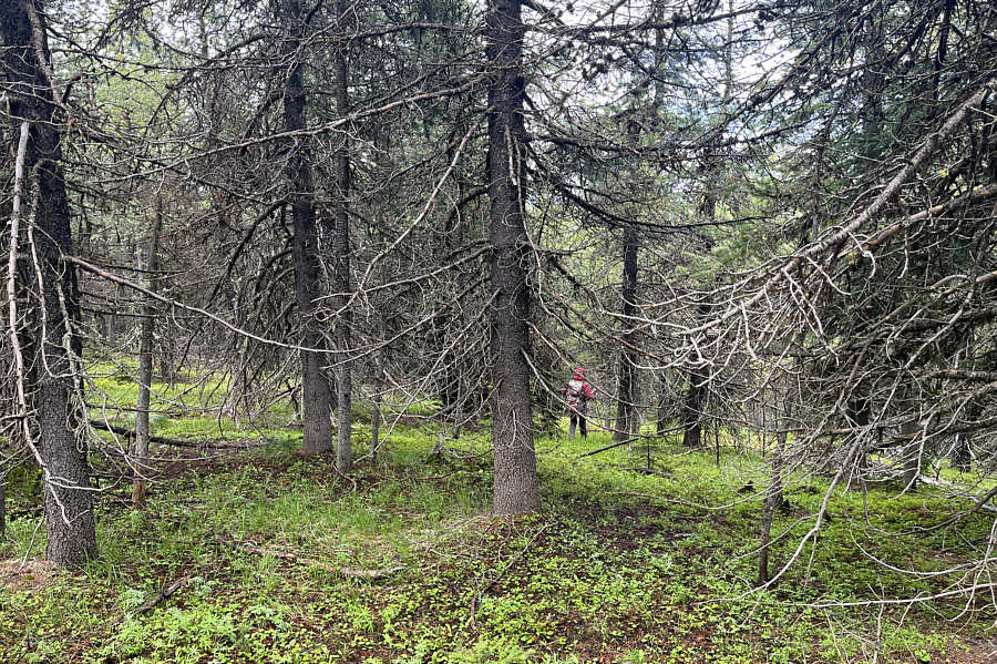
Zosia cuts through a previously-logged section of forest.
We likely will never come back here! 
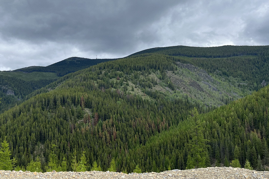
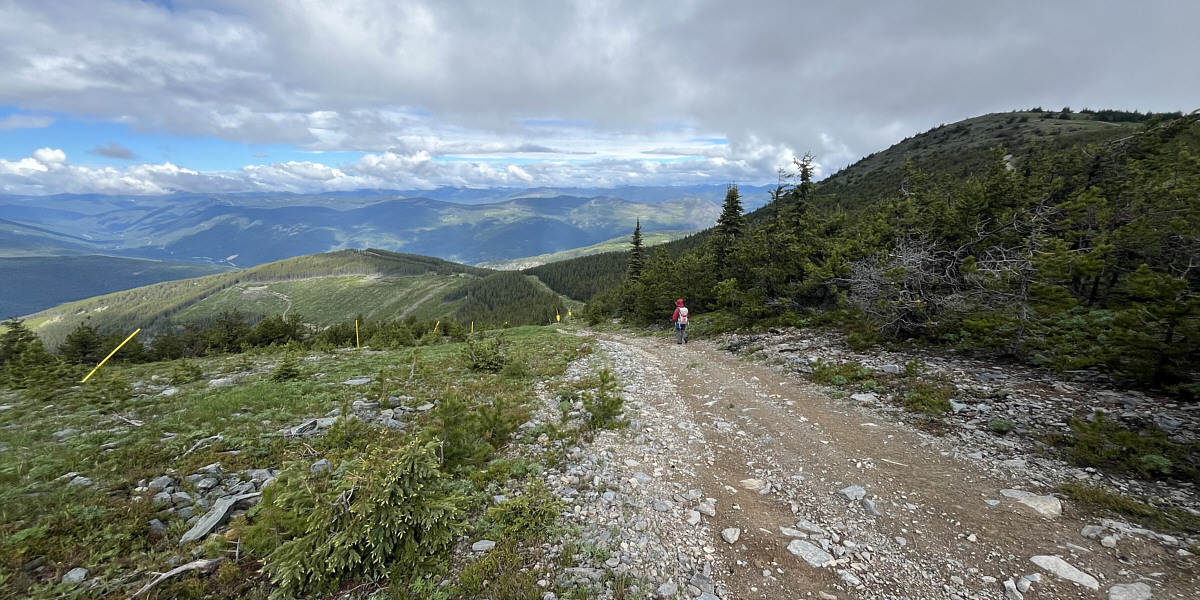
Here is a look back at Moyie Lookout (left) from Yahk River Forest Service Road.
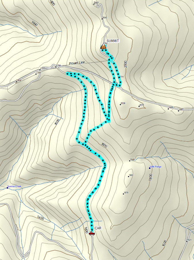
Nothing challenging, nothing special. Total Distance:  10.3 kilometres
Round-Trip Time:  4 hours
Cumulative Elevation Gain:  430 metres

GPX Data