BOU AVENUE
Olson Ridge

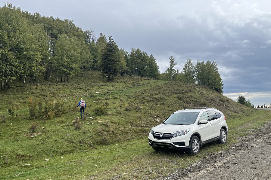
With a rainy forecast for the mountains on 14 September 2024, Zosia Zgolak and I opted for a simple foothills hike up Olson Ridge near the eastern boundary of Alberta's Ghost Public Land Use Zone.  Our inspiration for this hike came from Brandon Boulier's entry in Peakbagger.com.  Olson Ridge is comprised of four tree-covered humps stretched south to north between SR 579 (Harold Creek Road) and Fallen Timber Creek.  The highest point is supposedly situated on the second hump from the south and can be approached fairly easily via a convenient ATV track.  The ATV track begins from a pullout on the north side of SR 579 (51.47610, -114.87340).

From the pullout, Zosia and I followed the ATV track which runs northward in a pretty straight line along the west side of Olson Ridge.  There are a few undulations along the way with the most notable coming about 2.5 kilometres north of the pullout.  Here, we made a brief detour to the west and dropped down the north end of the first hump to cross a boggy gap before climbing up the south end of the second hump.  We then hiked another kilometre or so before abandoning the ATV track and bushwhacking up to the crest of the ridge.  Upon gaining the crest, we turned north again and reached the presumed high point in short order.

With little to see from the high point, Zosia and I did not linger for long before retreating southward along the ridge crest.  We took a slightly different route down the second hump but ultimately regained the same ATV track we used for our approach.  At the boggy gap, we made an attempt to find what appears on OpenTopoMap to be an alternate return route in the valley west of Olson Ridge, but the intervening meadows were too swampy for us to cross.  Consequently, we returned the same way we came by following the ATV track over the first hump back to our starting point.  Nuff said about this rather forgettable outing!
Watch your step here--lotsa cow patties! Zosia begins hiking at the south end of Olson Ridge.
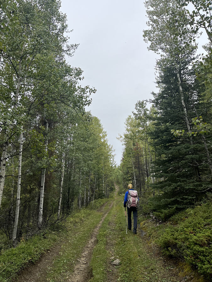
Expect mostly a walk in the woods. Much of the hike is along a straight ATV track.
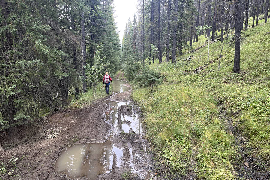
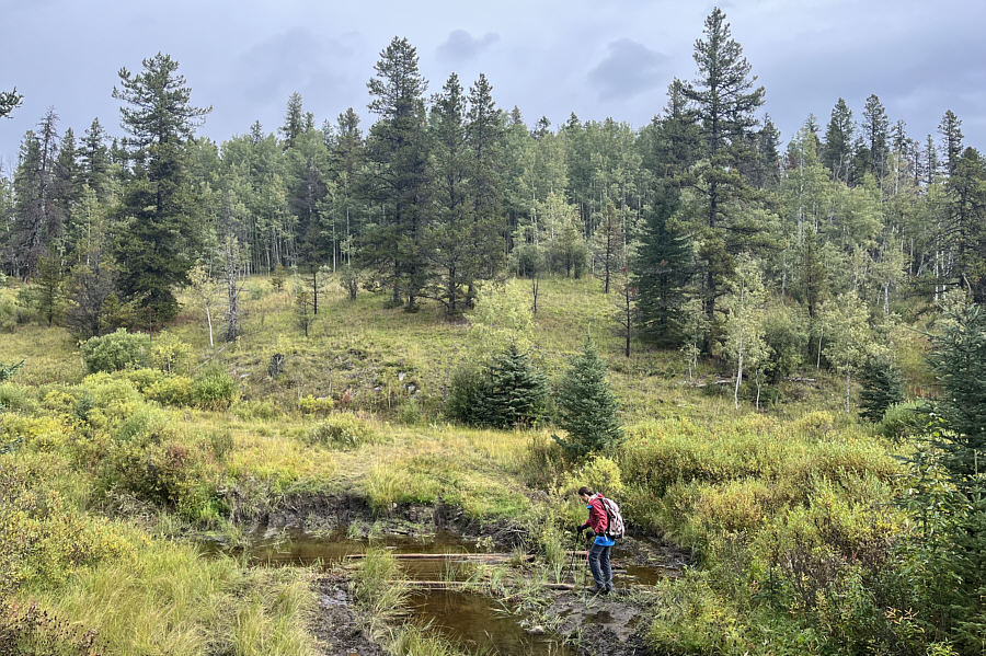
Might be a better hike in winter! Mud holes add some challenge to the hike on this day.
Definitely need waterproof boots for this hike!

Zosia carefully walks across some partially submerged logs to get across this bog.
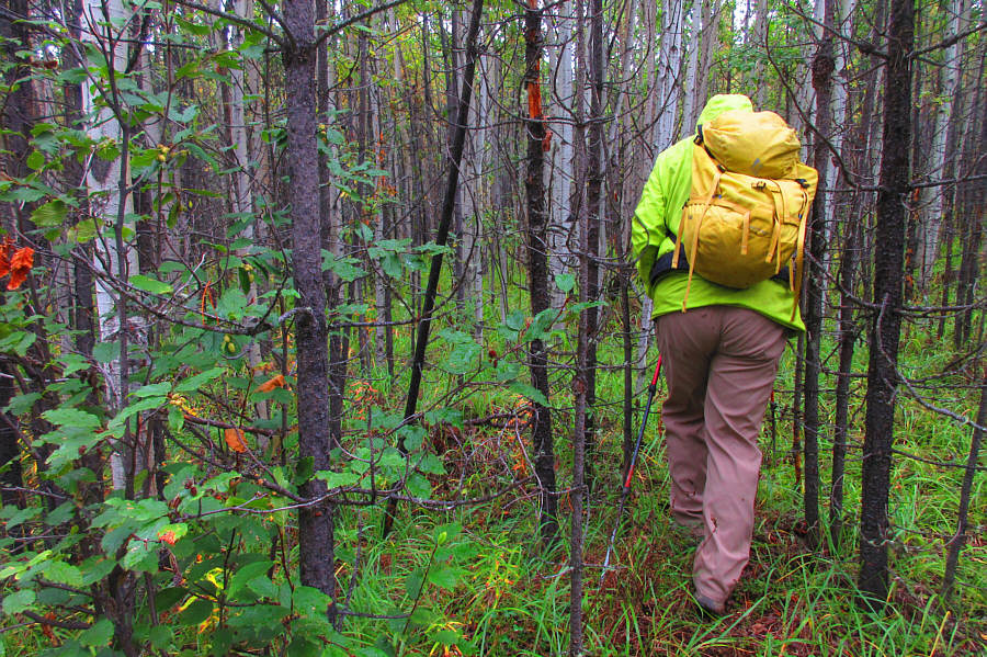
Still better than toothpick deadfall... After abandoning the ATV track, Sonny squeezes between trees to gain the crest of Olson Ridge.

Photo courtesy of Zosia Zgolak

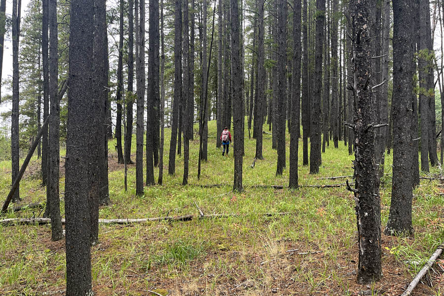
Much more pleasant to hike than expected. Zosia follows the forested crest of Olson Ridge toward the high point.
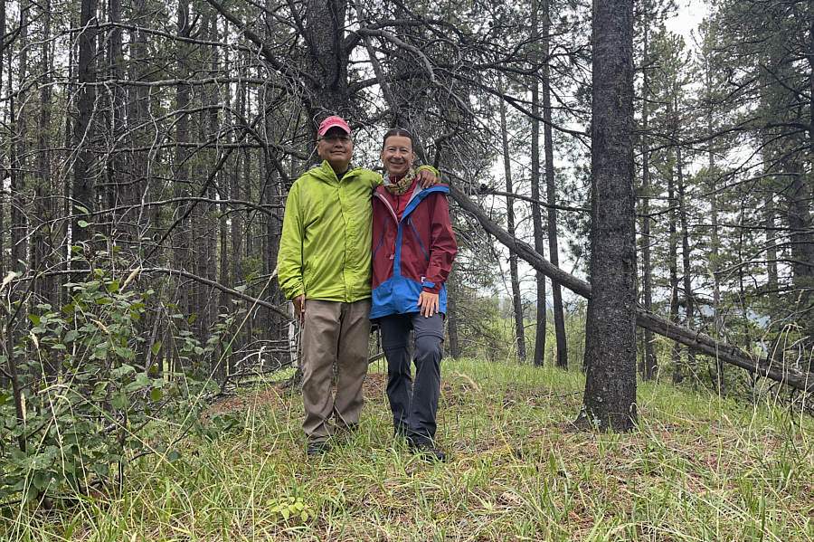
It is...what it is! Sonny and Zosia stand on the approximate high point of Olson Ridge (1514 metres).
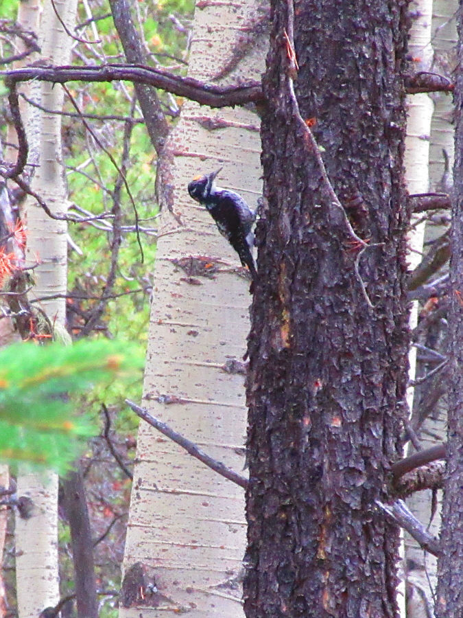
Maybe the most interesting about this hike! A woodpecker taps on a tree not far from the high point.

Photo courtesy of Zosia Zgolak

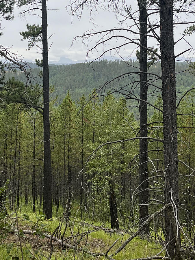
Well, I'm glad we're here instead of Devils Head on this rainy day! The forest near the high point is thin enough to grant some limited views.  Visible at distant left is Devils Head.
Sigh. I guess we're going back the same way!

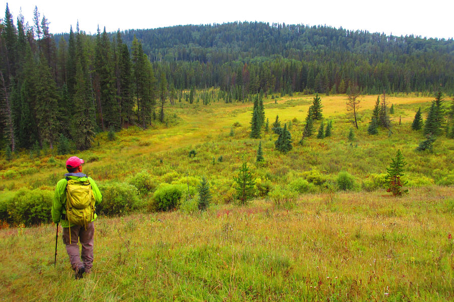
According to OpenTopoMap, there is supposedly a road or trail somewhere at the far end of this meadow that potentially could lead back to the highway.  Unfortunately, the meadow is too swampy to cross on this day.

Photo courtesy of Zosia Zgolak
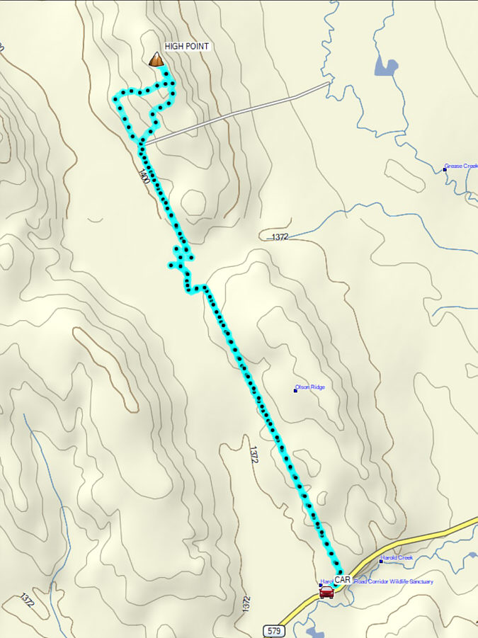
Might be better as a ski trip in winter...if there's enough snow! Total Distance:  9.8 kilometres
Round-Trip Time:  4 hours 15 minutes
Cumulative Elevation Gain:  224 metres

GPX Data