BOU AVENUE
Oregon Caves, Lake Mountain And Mount Elijah

On 14 August 2024, Zosia Zgolak and I paid a visit to Oregon Caves National Monument and Preserve located near the southwest corner of the state.  The caves, of course, are the main attraction of this park, but there are also trails in the area which grant easy access to some officially-named peaks including Lake Mountain and Mount Elijah.  Mount Elijah is named for Elijah Davidson who discovered the caves in 1874.  While entrance to the park is free, access to the caves is only by guided tours.  The park recommends making reservations through Recreation.gov, but a number of tour spots are set aside for walk-ups.  As such, Zosia and I started the day in the city of Cave Junction waiting for the Illinois Valley Visitor Center to open up at 8:30 AM.  We were second in line when the doors finally opened and were fortunate enough to snag the last two spots ($10 USD per adult) for the first tour of the day at 10:00 AM.  We then drove east along Highway 46 for 31.0 kilometres to the parking lot for the Oregon Caves Visitor Center (it is a 280-metre walk from the parking lot to the visitor center).  With some time to spare, we checked out some of the interpretive displays at the visitor center before meeting at the appointed time for our guided tour.

The cave tour lasted about 90 minutes as our guide took us through a number of different chambers connected by generally tight passageways.  Having already been on other cave tours such as the ones at New Mexico's Carlsbad Caverns and Montana's Lewis & Clark Caverns, I was admittedly underwhelmed by Oregon Caves which seemed less intriguing in comparison.  At the conclusion of the cave tour, we returned to the parking lot and had lunch before driving to the trailhead for Mount Elijah.
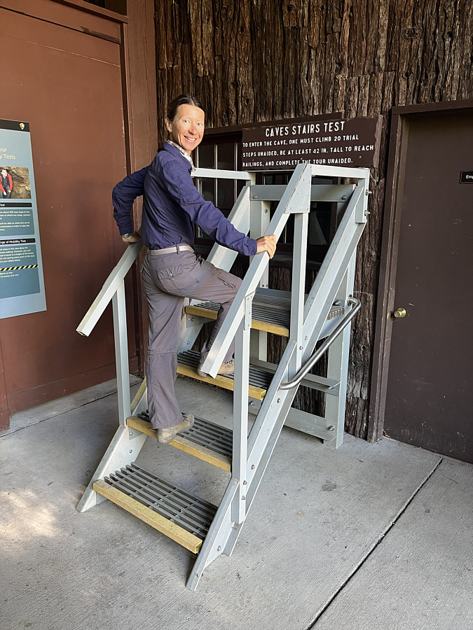
The original Stair Master! Zosia tests herself to see if she is fit to enter the caves.
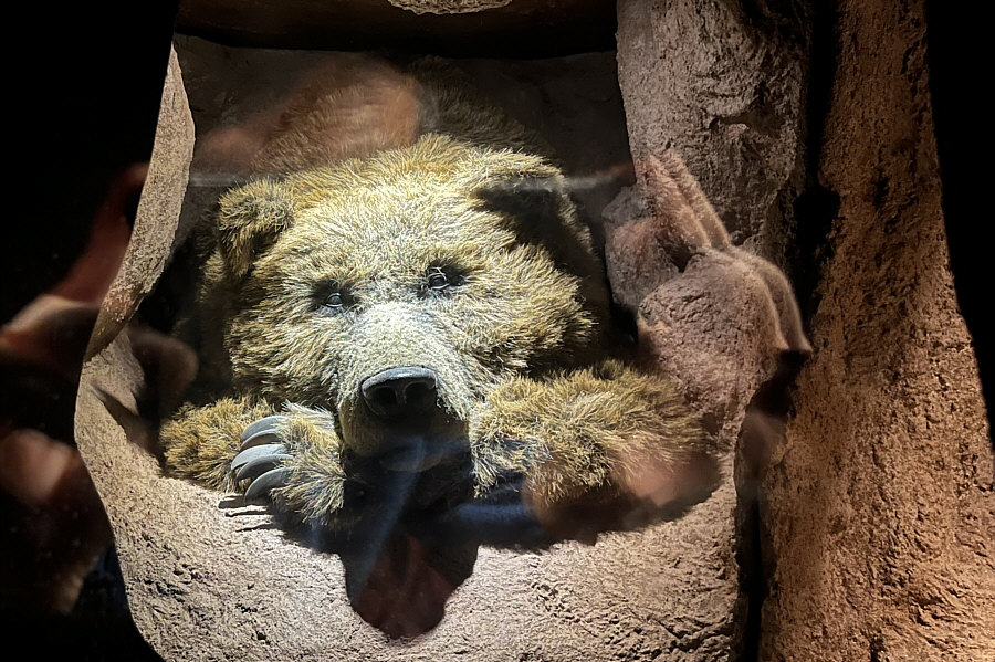
Looks pretty good for a 50K year old bear! As represented by this interpretive display in Oregon Caves Visitor Center, a grizzly bear fossil as old as 50,000 years has been found in the caves.
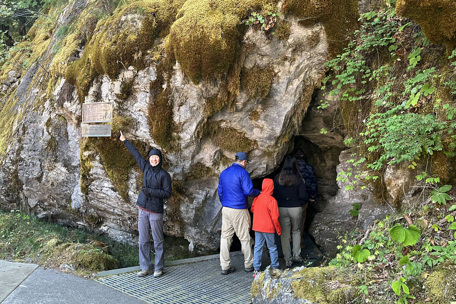
That's over 115 years ago. Just outside the entrance to the caves, Zosia points to a plaque stating that President William Taft established Oregon Caves National Monument on 12 July 1909.
Helps to be a midget here!

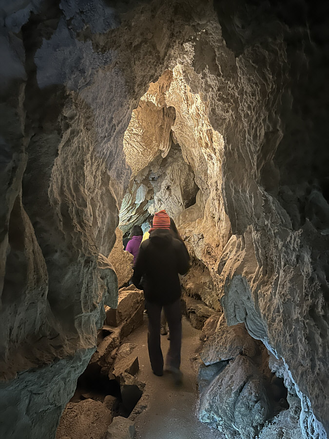
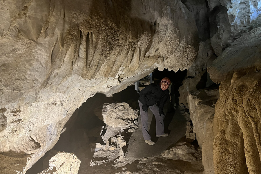
Many of the passageways require some stooping to get through.
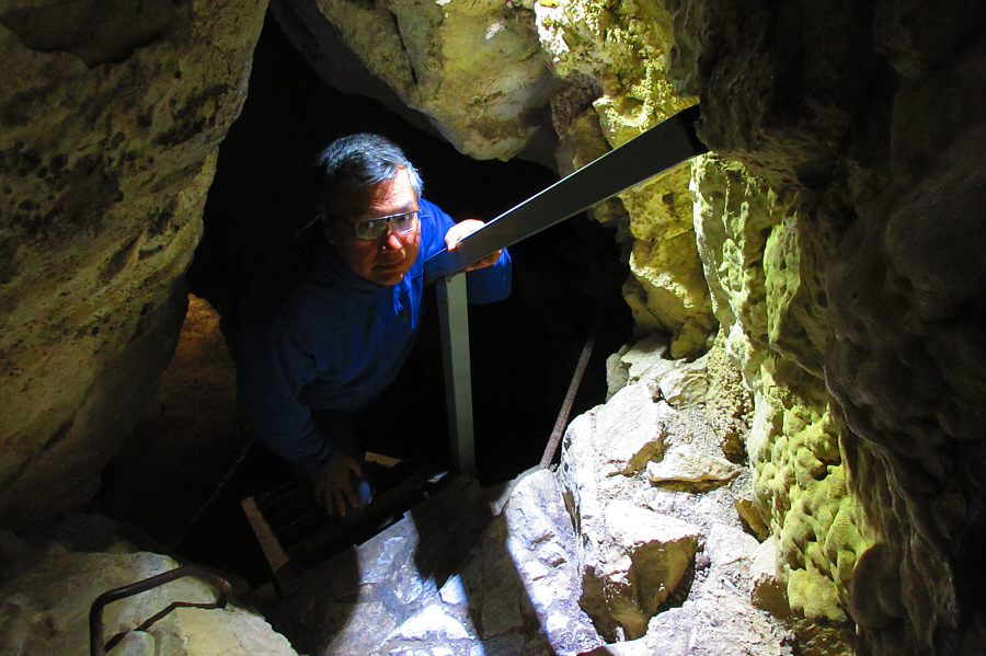
Almost need a helmet... Sonny climbs up a narrow staircase.

Photo courtesy of Zosia Zgolak

Time for a good stretch! This is one of the more spacious passageways in the caves.
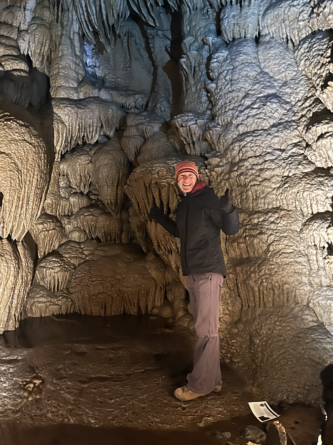
Look out for Aliens... Zosia visits perhaps the most impressive chamber on the tour--Paradise Lost.
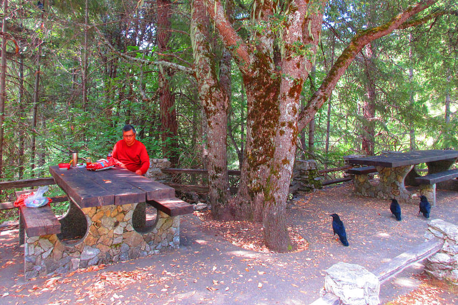
Nevermore! Three ravens take an interest in Sonny as he sits down to eat lunch.

Photo courtesy of Zosia Zgolak

From the Oregon Caves Visitor Center parking lot, drive back along Highway 46 briefly before veering right onto Forest Road (FR) 960.  FR 960 is suitable for 2WD vehicles but undulates a fair bit and quite steeply in some places.  Drive 4.7 kilometres to the junction with FR 070 and turn right.  This junction can also be reached via FR 4613 which is the preferred route if traveling directly to the trailhead from Cave Junction (turn left from Highway 46 22.0 kilometres east of Illinois Valley Visitor Center and then drive 11.0 kilometres before turning right onto FR 070).  From the junction with FR 960, drive southeast along FR 070 for 890 metres and keep right at a split.  Drive another 1.3 kilometres to road's end at the trailhead (no facilities).  There are actually multiple possible approaches for Mount Elijah, but the shortest route starts from this trailhead.

From the trailhead, Zosia and I hiked southward for almost a kilometre before turning left at a signed junction.  We then ascended a lengthy section of trail comprised of a stretch along an open meadow sandwiched between two series of forested switchbacks.  Beyond the second series of switchbacks, the trail levels out a bit before passing a viewpoint overlooking Bigelow Lakes.  We abandoned the trail somewhere just past the viewpoint to ascend the southwest ridge of Lake Mountain.  Off-trail hiking here was easy at first, but as we approached the top of Lake Mountain, we had to do a bit of route-finding to avoid thick bushes and to also scramble up a rock outcrop at the summit.  The rock outcrop is actually topped with a full-sized tree which made it difficult to take a summit photo.  Furthermore, views were disappointingly limited from the summit.  Had we more time, I would have considered traversing to Lake Mountain's northern outlier which appeared to be more open and scenic.  Instead, we simply descended more or less the same way we came.

Upon regaining the trail, Zosia and I passed another easy-to-miss junction before making short work of the final section to the summit of Mount Elijah.  Despite being lower than Lake Mountain, Mount Elijah's summit is much more open and grants some respectable views of distant peaks.  We took a short break here before retreating along the same trail for our descent.  Our return to the trailhead and the subsequent drive back to the highway were both uneventful.
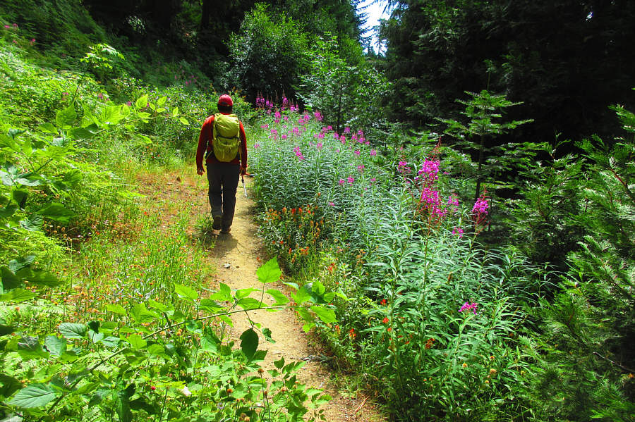
A colourful start to the hike! Sonny walks past some fireweed near the trailhead.

Photo courtesy of Zosia Zgolak

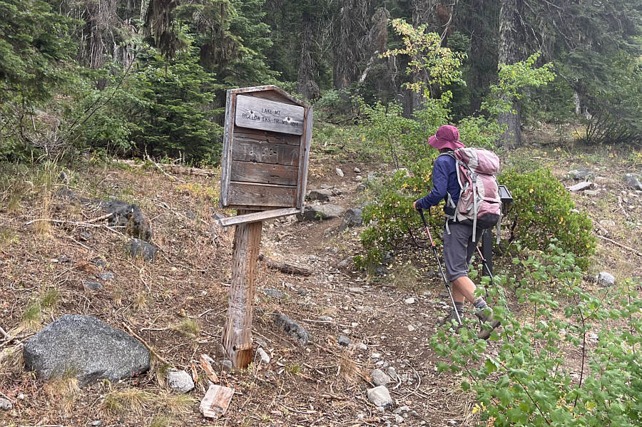
Time for some switchbacks! At an important junction, Zosia turns onto a trail leading to Lake Mountain.
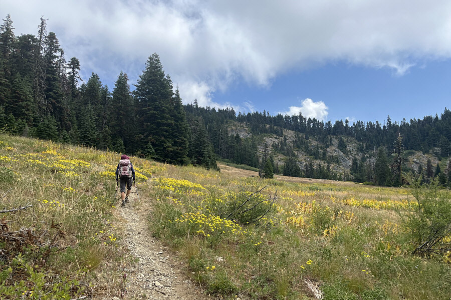
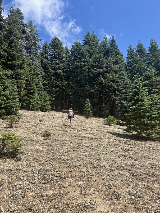
Perfect place to spot large animals...but we didn't see a single one! Zosia briefly crosses a large meadow on the way up.
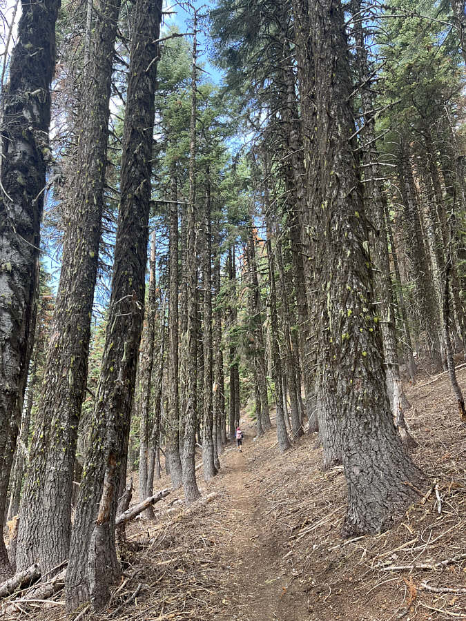
Bushwhacking would be a snap...if it was necessary. The trail zigzags up through a forest with little undergrowth.
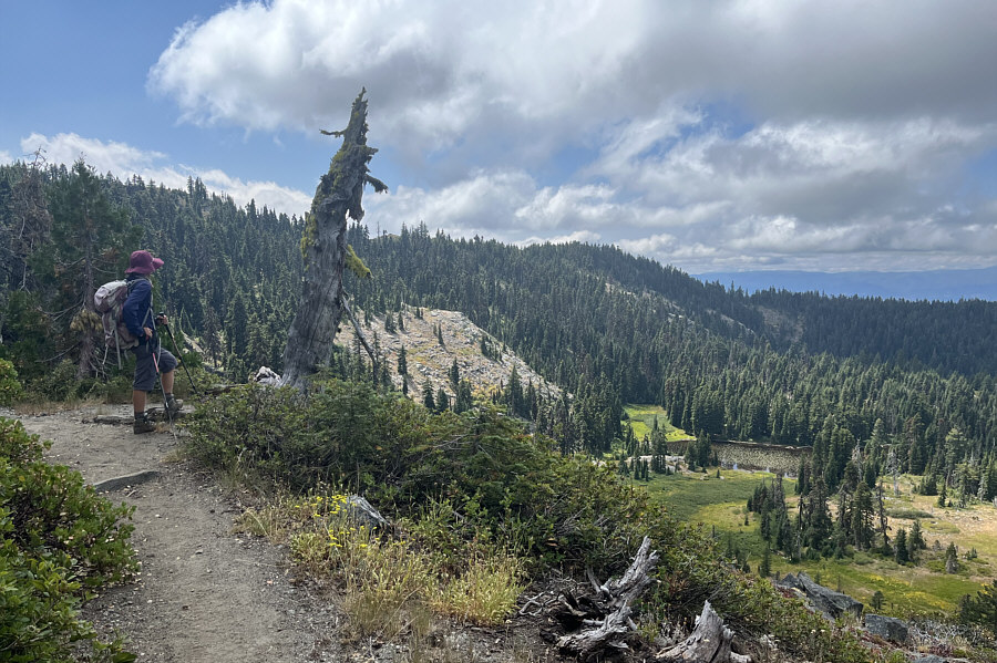
Doesn't look to appealing to swim in... An open section of trail grants this view of one of the Bigelow Lakes.
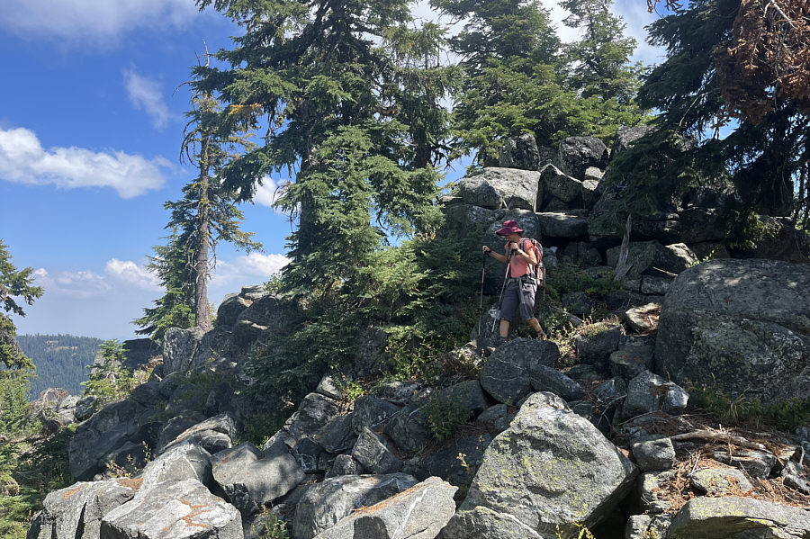
Generally easy here, but the route-finding gets a little trickier near the top. Zosia goes off-trail to climb Lake Mountain.
Down and around to the left is the way! Zosia tries to find another way up the rock outcrop behind her.  The rock outcrop is essentially the summit of Lake Mountain.
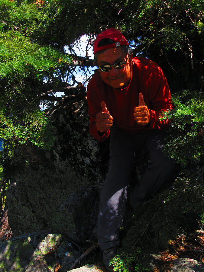
There needs to be a massive fire to raze all the trees on this summit! Sonny stoops under a tree occupying the summit of Lake Mountain(2038 metres).

Photo courtesy of Zosia Zgolak

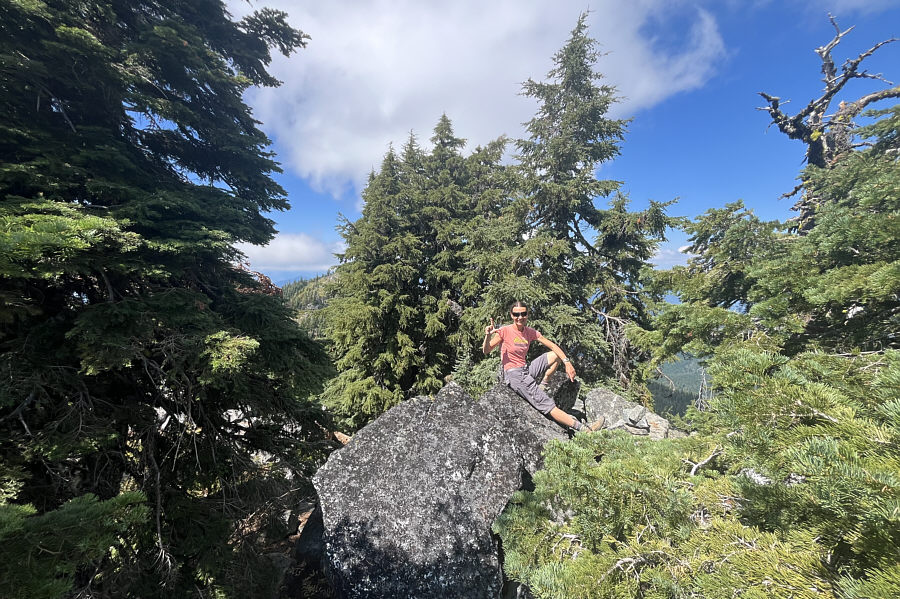
Man, I hate summits without views! Zosia relaxes on a big boulder near the summit of Lake Mountain.
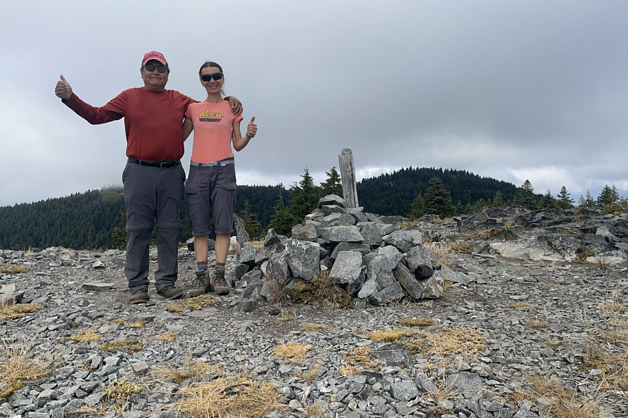
We should've been here instead of the top of Lake Mountain when the sun was still out! Sonny and Zosia reach the lower but ironically more open summit of Mount Elijah (1953 metres).  Lake Mountain is visible in the background at right.

Would you like a cheezie?

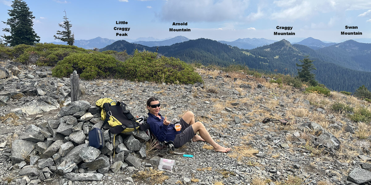
Some intriguing peaks can be seen to the southeast while Zosia has a snack break on the summit of Mount Elijah.
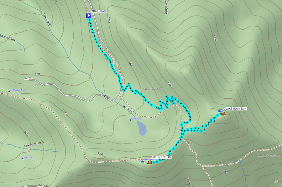
 

Mount Elijah was worth the effort; Lake Mountain not so much! Total Distance:  8.9 kilometres
Round-Trip Time:  3 hours 38 minutes
Cumulative Elevation Gain:  421 metres

GPX Data