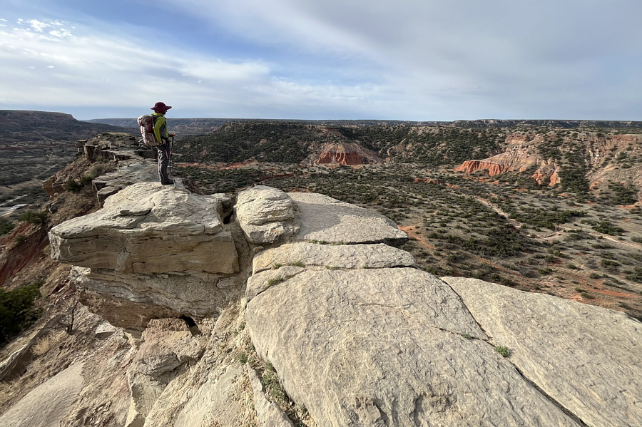
Zosia wanders to the south end of Goodnight Peak for a more comprehensive view of Palo Duro Canyon.
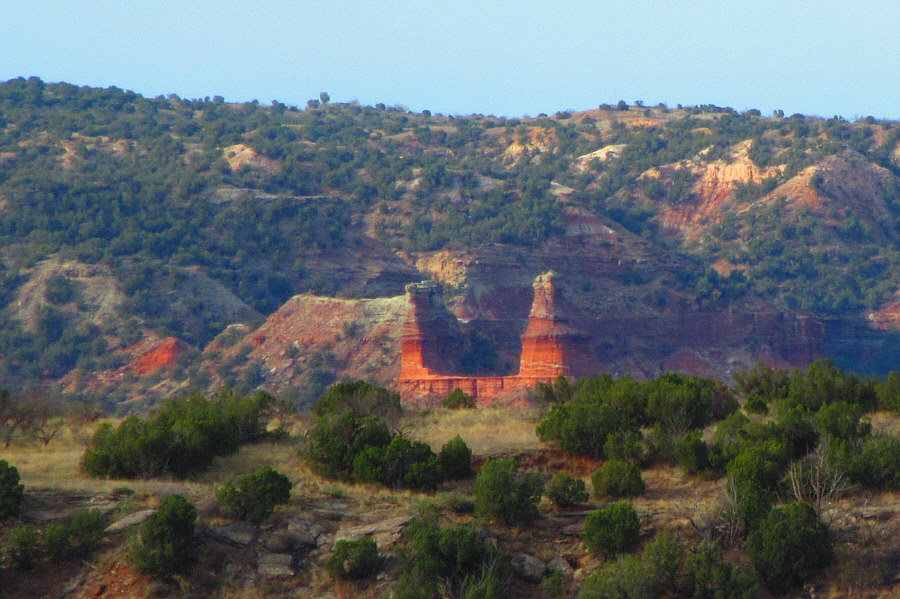
Photo courtesy of Zosia Zgolak
 |
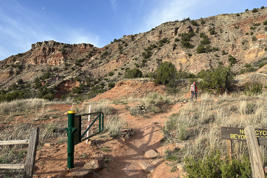
Zosia begins hiking up Goodnight Peak (far left). |
 |
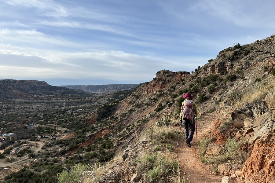
Zosia gets a good look at Palo Duro Canyon during her ascent of Goodnight Peak. |
 |
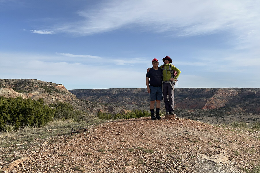
Sonny and Zosia stand on the summit of Goodnight Peak (995 metres). |
 |
Zosia wanders to the south end of Goodnight Peak for a more comprehensive view of Palo Duro Canyon. |
 |
Lighthouse Rock is visible in the
distance in this zoomed-in view from Goodnight Peak. Photo courtesy of Zosia Zgolak |
 |
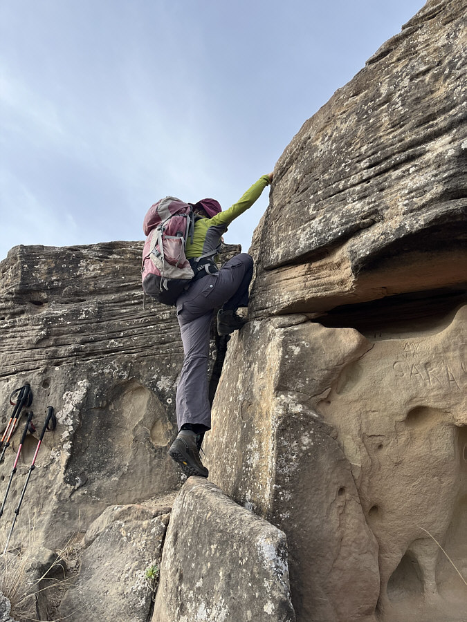
Zosia scrambles up a short cliff band to access a subsidiary high point south of Goodnight Peak. |
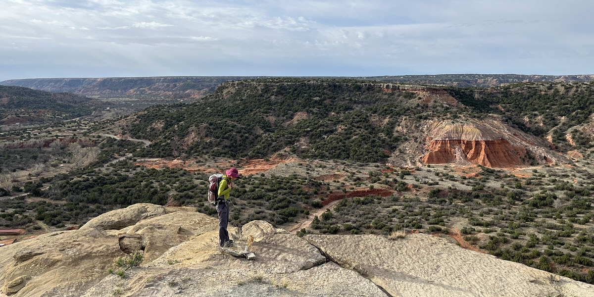
Zosia examines what appears to be a memorial stone on top of the subsidiary high point.
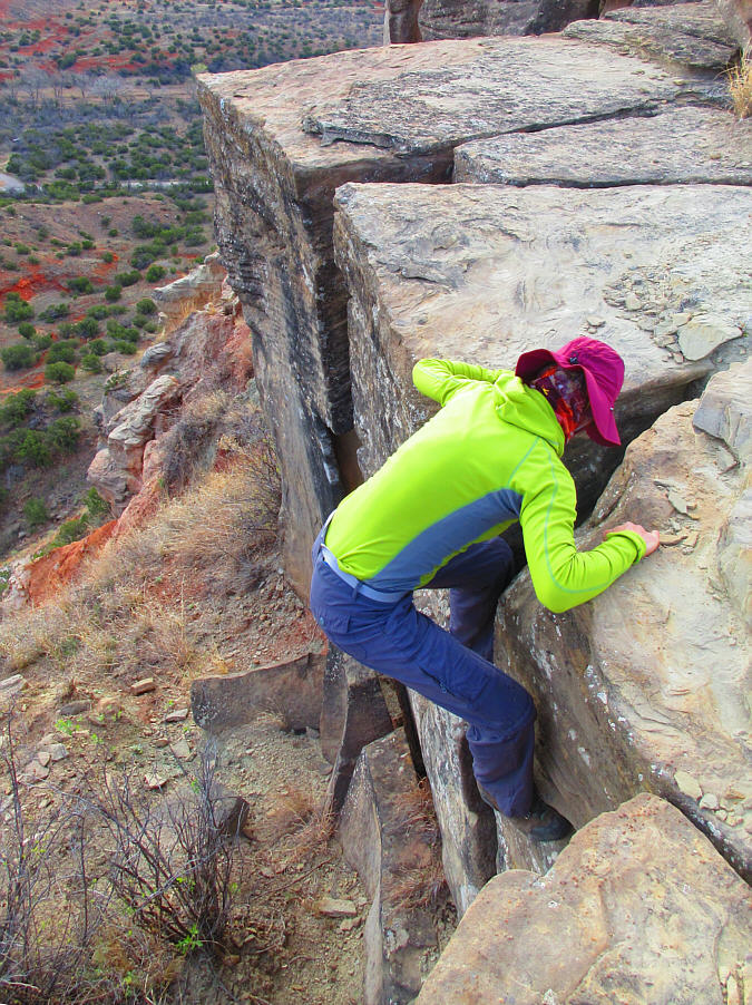 |
Zosia carefully down-climbs the cliff
band guarding the subsidiary high point. Photo courtesy of Zosia Zgolak |
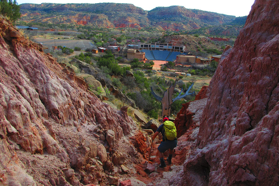 |
Sonny takes a short cut down a rocky
gully toward an outdoor theatre near the trailhead. Photo courtesy of Zosia Zgolak |
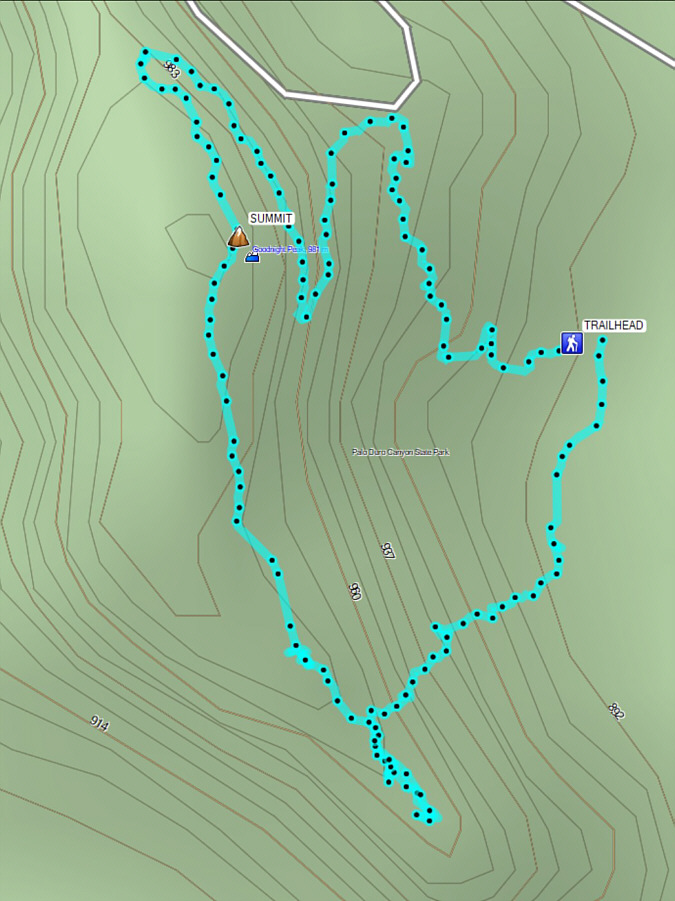 |
Total Distance: 2.1 kilometres Round-Trip Time: 1 hour 17 minutes Net Elevation Gain: 105 metres |
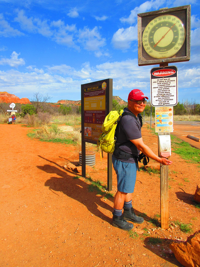 |
Sonny grabs some complimentary
sunscreen at the trailhead for Lighthouse Rock. Photo courtesy of Zosia Zgolak |
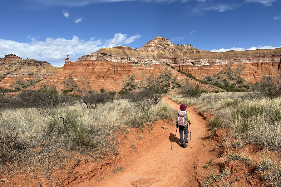 |
Zosia approaches Capitol Peak which resembles the US Capitol Building in Washington D.C. |
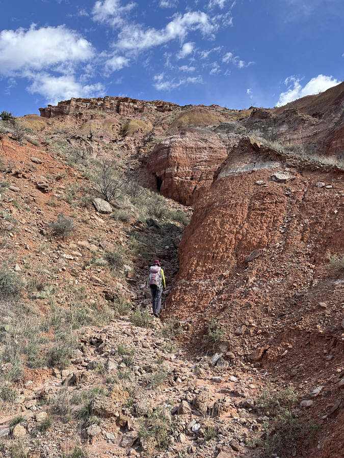 |
This loose gully provides a reasonable ascent route for Capitol Peak. |
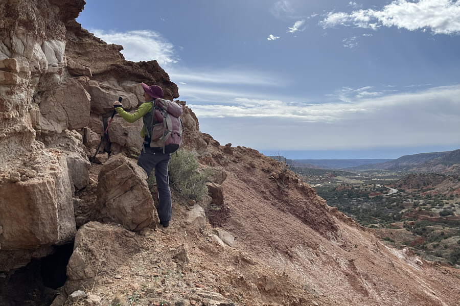 |
Zosia prepares to surmount a short rock band guarding the upper mountain. |
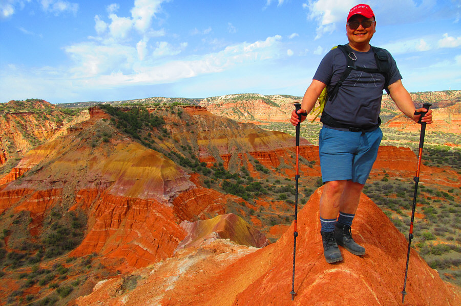 |
Sonny stands on the summit of Capitol
Peak (950 metres). Photo courtesy of Zosia Zgolak |
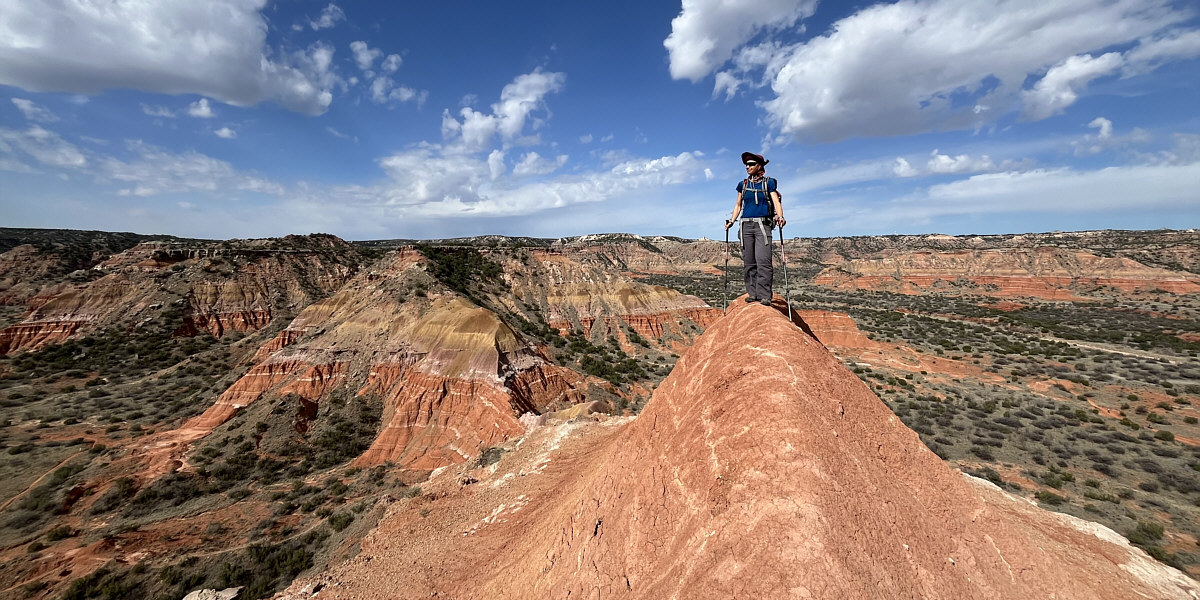
Zosia takes her turn to stand on the summit of Capitol Peak.
After carefully retracing our steps down from the top of Capitol Peak, Zosia and I returned to the main trail and settled into a lengthy but generally straightforward march to Lighthouse Rock. Lighthouse Rock itself is a technical climb, but some people scramble up a neighbouring tower to the south. A well-worn trail circles around to the south side of this tower, but reaching the summit requires a short technical move to surmount a rather awkward 2.5-metre step. We both gave the step a half-hearted try but ultimately backed down after deciding that it was not worth risking an injury. A couple of young men that arrived after us successfully surmounted the technical step after a lengthy deliberation, but we were content to enjoy the same panoramic views from our safe perch nearby. We stopped here for a short break before some light rain prompted us to get moving and descend the way we came. The hike back to the trailhead was long but uneventful.
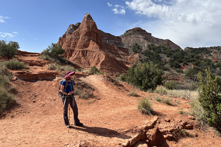 |
Back on the trail to Lighthouse Rock, Zosia circles around the north side of Capitol Peak. |
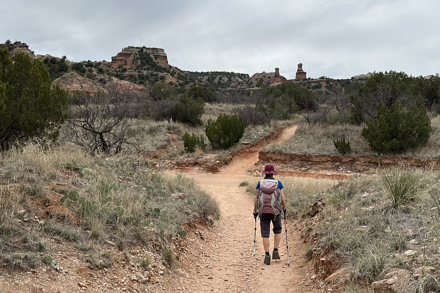 |
Lighthouse Rock appears in the distance as Zosia is about to cross a wash. At left is Castle Peak. |
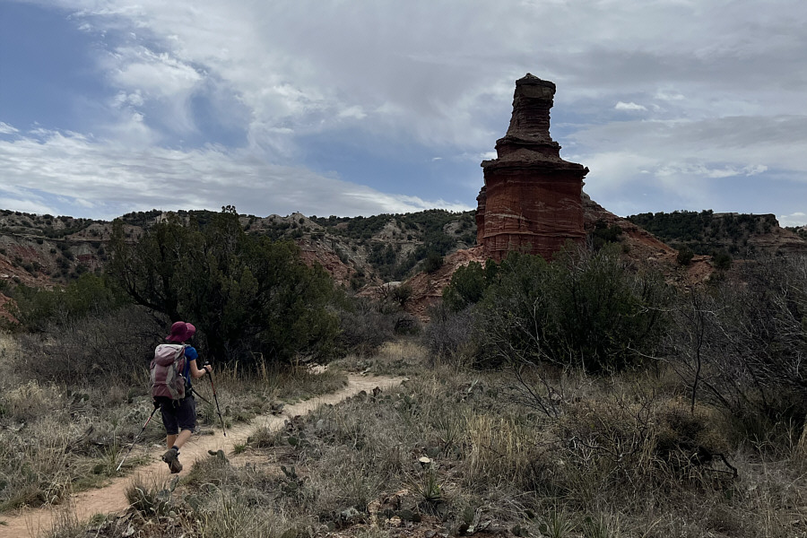 |
Zosia approaches the base of Lighthouse Rock. |
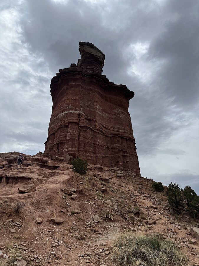 |
Lighthouse Rock looks dark and brooding under cloudy skies. |
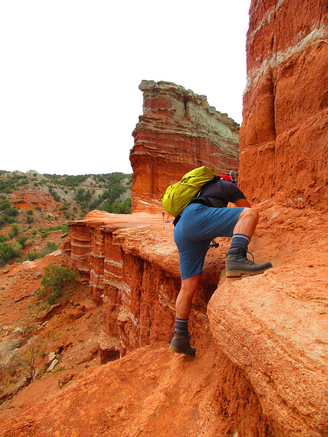 |
Sonny stretches over a big step at the
base of Lighthouse Rock. Photo courtesy of Zosia Zgolak |
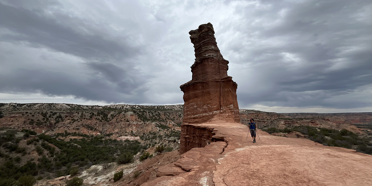
Here is a view of Lighthouse Rock from its south side.
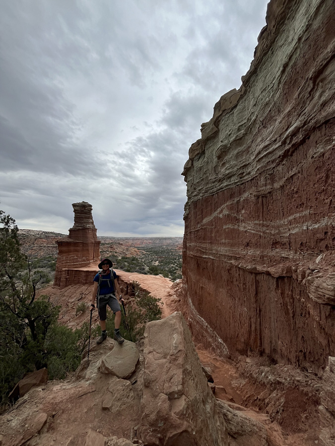 |
Zosia takes a pause on her way up the tower to the south of Lighthouse Rock. |
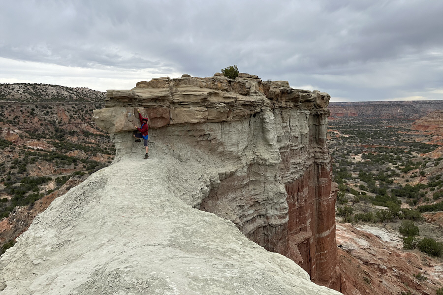 |
A short technical move up an awkward step is required to reach to top of the south tower. Zosia would back down after giving it a try. |
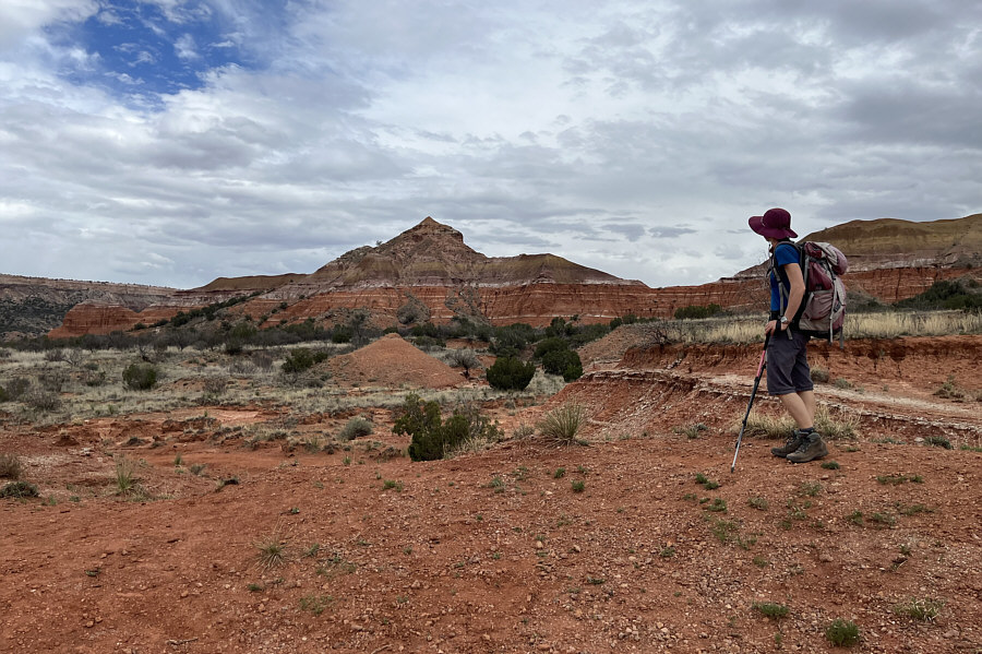 |
On the hike out, Zosia stops for one last look at the north side of Capitol Peak. |
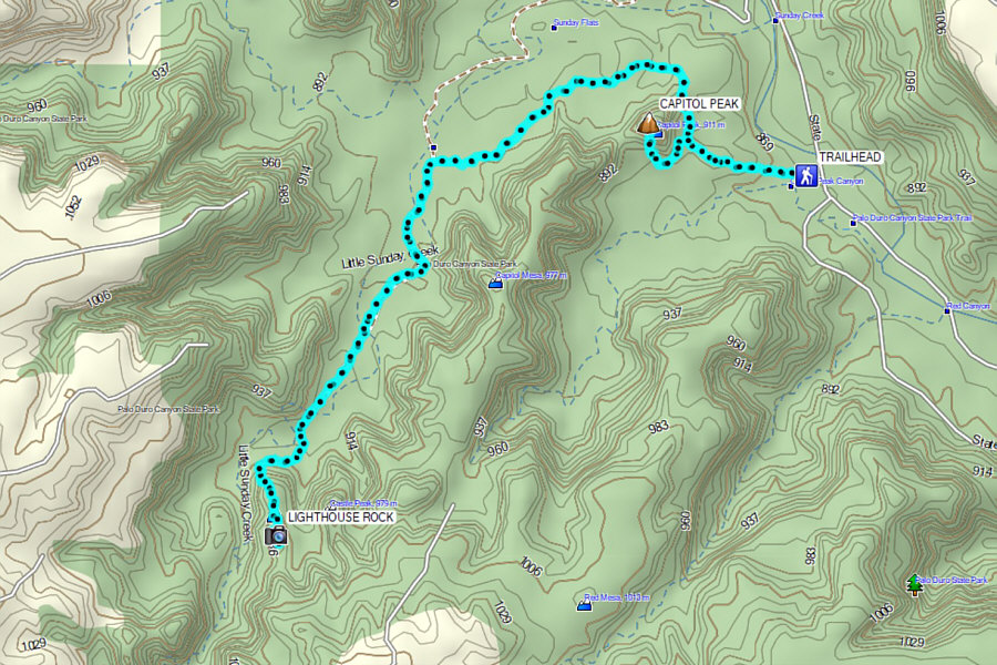 |
Total Distance: 11.4 kilometres Round-Trip Time: 4 hours 53 minutes Cumulative Elevation Gain: 158 metres |
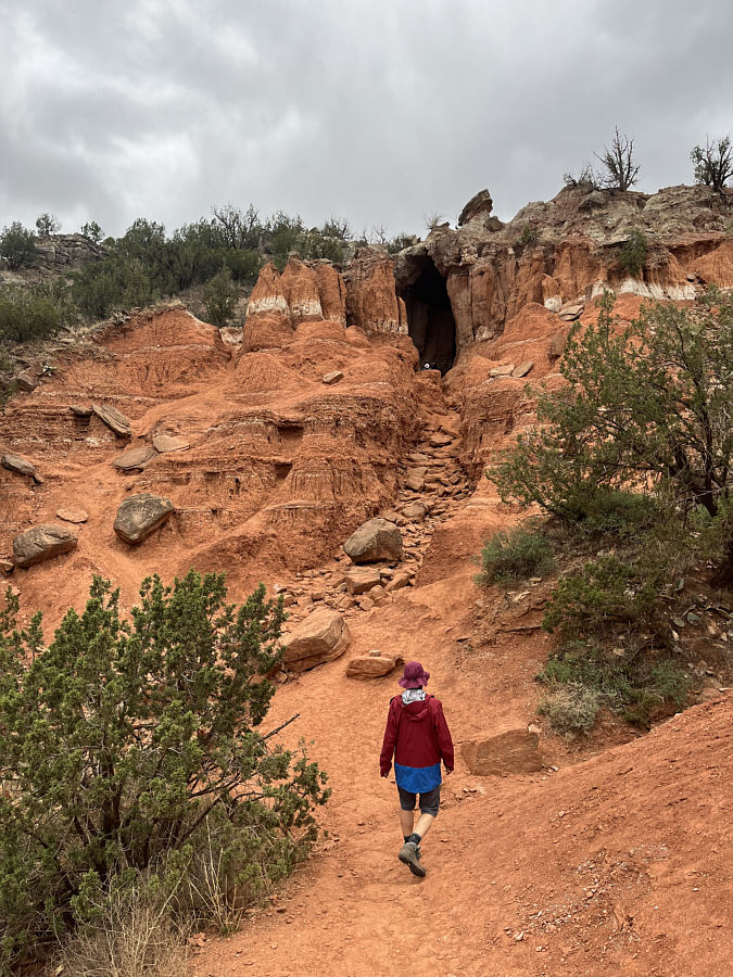 |
Zosia heads for the Big Cave. |
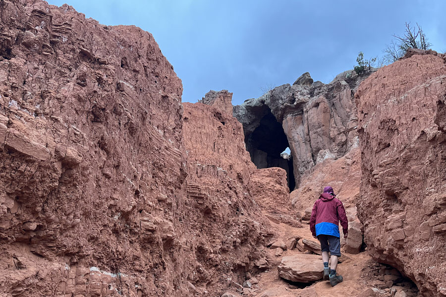 |
A hole can be seen in the ceiling of the Big Cave. |
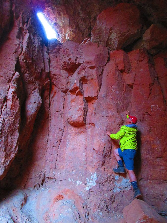 |
While it is possible to access the top
of the hole in the cave ceiling (by scrambling around the outside),
this is not the best way. Photo courtesy of Zosia Zgolak |