BOU AVENUE
Red Mountain
On 22 August 2024, Zosia Zgolak and I
ascended Red Mountain, the highest peak in Montana's Scapegoat
Wilderness. According to topo maps, the summit appears to be easily
accessed by a trail (FT 423) to the northeast via Indian Meadows
trailhead and Heart Lake, but this route is long enough to warrant an
overnight camp somewhere along the way. Based on some online trip
reports and entries in
Peakbagger.com,
a shorter off-trail route via the south ridge has proven to be more
popular, but this route entails more bushwhacking and route-finding.
Always up for a challenge, we decided to attempt Red Mountain via the
south ridge route.
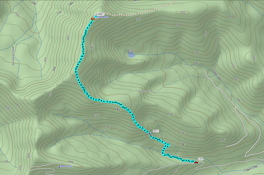
From Montana Highway 200, turn north onto
Landers Fork Road (FR 330) about 11.0 kilometres east of the community of
Lincoln or 50.0 kilometres west of the junction with US Highway 287.
Immediately keep right at a split and drive 4.0 kilometres before veering
left onto Copper Creek Road (still FR 330). Drive 8.6 kilometres
and stay left at another split (right goes to Indian Meadows camping and
staging area in about 2.4 kilometres). Drive 10.0 kilometres and
cross Copper Creek on a bridge. There is a gate just past this
bridge which is apparently only open annually between July 1 and August
31. If the gate is open, drive another 2.2 kilometres to reach a
signed junction with FR 771A just past a hairpin turn. Although
space is limited, this junction is the most logical place to park.
While other motorized traffic is highly unlikely to come through here, it
would be prudent to park as far as possible to the side in order to not
block the road. The gravel roads up to the seasonal gate are
suitable for 2WD vehicles, but high-clearance is recommended for the
rougher section between the gate and the last junction.
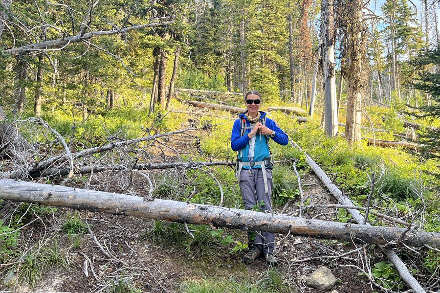
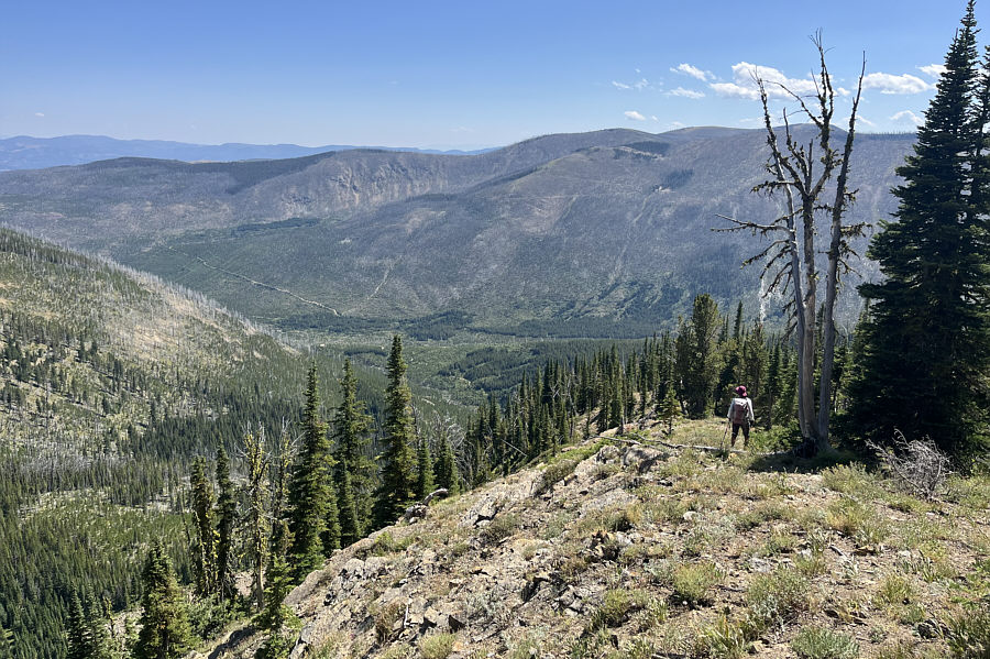
From the last junction, Zosia and I hiked the remainder of FR 330 along
the south bank of a tributary of Copper Creek. At road's end, we
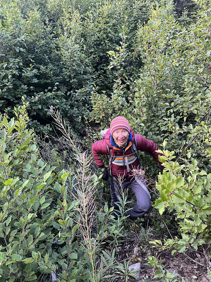
plunged into the bushes to rock-hop the tributary and thrash up the far
bank. There is some evidence of previous logging or exploration
here in the form of some old skid roads crisscrossing the slope, but
unfortunately, most of the roads have been reclaimed or are badly choked
by deadfall. We did our best to muddle our way westward up a
ridge-like feature, but progress was frustratingly slow. After
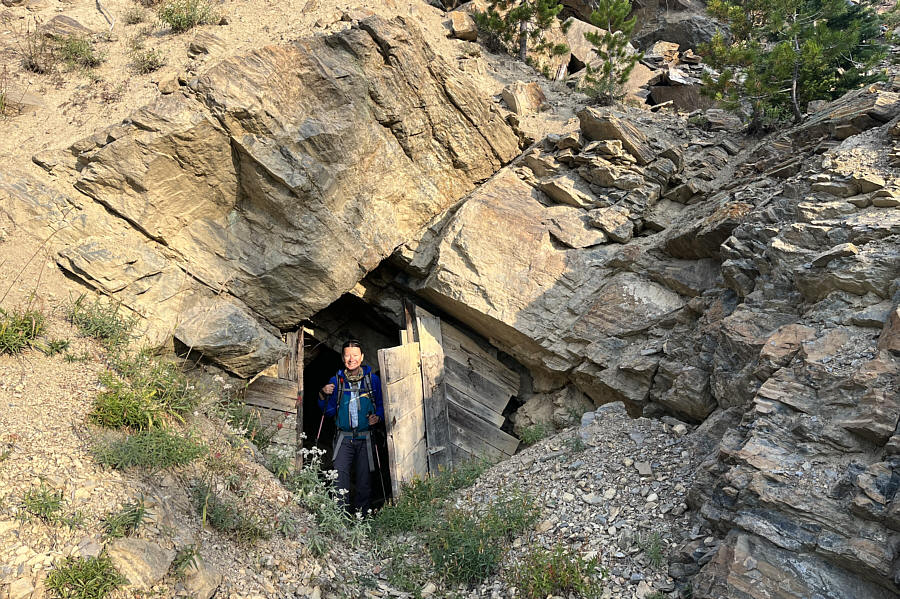
passing an old mine adit, we turned up a very steep slope and began a
long uphill grind gaining about 400 metres over the next kilometre.
This was a brutally steep climb, but at least the bushwhacking was not so
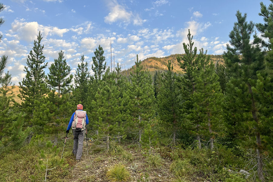
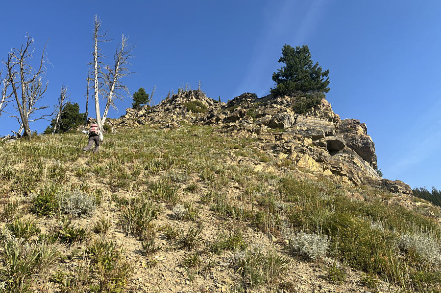
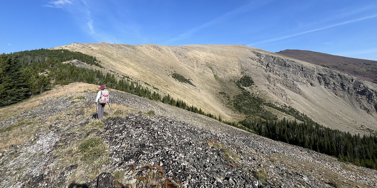
bad here. Eventually, the angle of the slope eased as we reached a
small semi-open plateau. Crossing the plateau, we dropped down a
slight dip before climbing through the last trees and gaining the broad
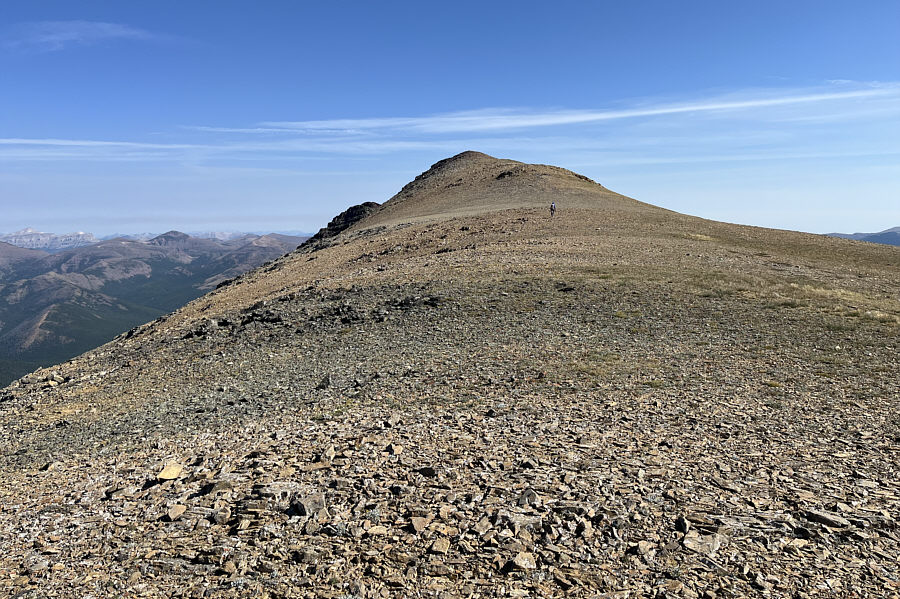
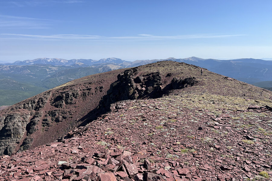
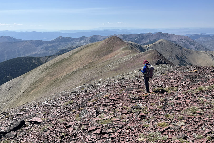
south ridge of Red Mountain. Although we still had a fair bit of
distance and elevation left, most of our route-finding issues were behind
us as we settled into an uncomplicated plod up the south ridge to the
summit.
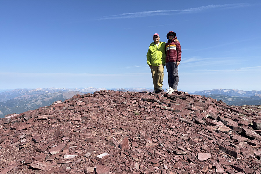
Zosia and I stopped for our usual requisite
summit break before descending the mountain pretty much the same way we
came. The steep knee-jarring descent from the plateau to the mine
adit seemed interminable, but we managed to get down safely without any
spills. A second thrash down the ridge-like feature was just as
miserable as the first time, but already knowing the route, we got
through this section maybe a little more efficiently. We had a
little more trouble finding the least bushy spot to cross the tributary,
but once past this last obstacle, we regained FR 330 with much relief and
marched back to our car without further issues.
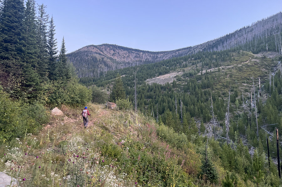
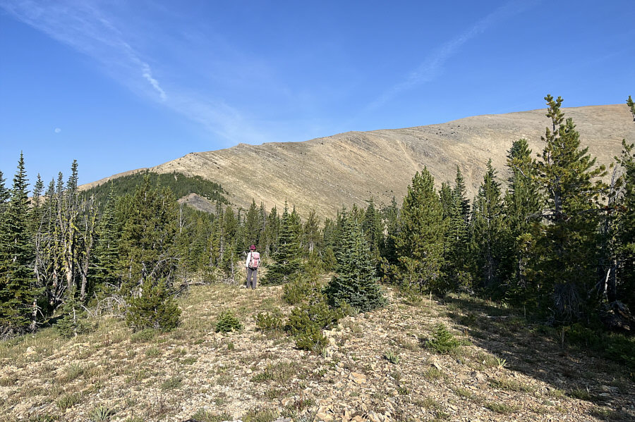
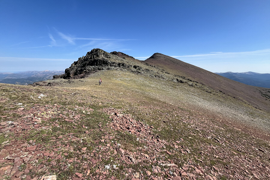
There is still a long way to go to reach the summit of
Red Mountain which is visible at distant right.