BOU AVENUE
Mount Rockwell

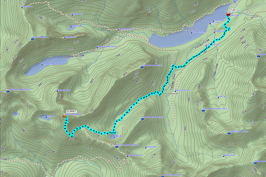
Kicking off the Labour Day long weekend, Zosia Zgolak and I scrambled up Mount Rockwell in Montana's Glacier National Park on 31 August 2024.  From the eastern shore of Two Medicine Lake, the mountain is completely obscured by Sinopah Mountain which gets all the glory in countless photographs of the lake.  As such, Mount Rockwell has seemingly flown under the radar of many peak-baggers even though it is over 300 metres taller than Sinopah Mountain.  Of course, the much longer approach for Mount Rockwell probably dampens its appeal, but the promise of spectacular summit views in all directions due to the mountain's strategic location on the Continental Divide is hard to resist.  A couple of different non-technical ascent routes are described in A Climber's Guide to Glacier National Park by J. Gordon Edwards, and we would try the "West Face Route" which entails a long approach via park trails followed by a traversing scramble on Mount Rockwell's southern and western aspects.  The trailhead (48.48302, -113.36941) is located near the boat dock at Two Medicine Lake.

Zosia and I began hiking the South Shore Trail by headlamp.  The trail annoyingly climbs up a low ridge only to drop down the other side before leveling out for the next couple of kilometres.  We spotted lots of moose in this area both on the approach and the return, but they are kind of spooky to encounter in the dark.  After crossing Paradise Creek, we reached a T-junction with Two Medicine Pass Trail where we turned left and began a long climb up the valley.  On this day, there was an overabundance of ripe huckleberries along the trail which predictably slowed our progress.  Fortunately, the huckleberry bushes eventually thinned out enough for us to resume hiking at a steadier pace.  Past Cobalt Lake, we finally broke out of the forest for good and entered a big bowl on the southeast side of Mount Rockwell.  We left the Two Medicine Pass Trail here and crossed the bowl to pick up a fainter trail climbing diagonally up and to the left onto Mount Rockwell’s south ridge.  Upon gaining the south ridge, we briefly climbed up the crest before increasingly difficult pinnacles forced us to traverse onto west-facing slopes.  It would be difficult to describe in detail the exact route for the remainder of the ascent, but the general idea is to keep traversing to climber’s left while ascending easy sections when feasible.  There are occasional cairns, but for the most part, we relied on our intuition to navigate through the complex terrain.  Probably the biggest takeaway is that the ascent of the upper mountain takes longer than expected and requires some patience and persistence.  More than 2.5 hours after gaining the crest of the south ridge, we passed the last in a series of discouraging corners and surprisingly found ourselves on simple terrain again.  From there, we had only a short and easy scramble left to reach the summit.

Zosia and I took about a 45-minute break on the summit before commencing our return journey.  Not surprisingly, the descent of the upper mountain was just as time-consuming as the ascent as we tried to retrace our steps to the best of our memory.  Occasional straying from our up-track was inevitable, but we always found a way to continue descending without getting cliffed out.  When we eventually made it back to where we originally gained the south ridge, we breathed a huge sigh of relief knowing that all technical and route-finding difficulties were behind us.  All we had left was a mind-numbing 11-kilometre plod back to the trailhead.  Although relatively straightforward, the long walk back to Two Medicine Lake certainly took a toll on my feet, and I also had ample opportunity to question my life choices along the way.  Not far from the trailhead, a group of backpackers nearly caught up to us from behind, and for the final stretch, we had to endure one of them clapping their hands and yelling "Hey, Bear!" almost every ten seconds or so even though they knew we were just ahead of them.  After an already long and tiring day, I felt like turning around and giving them a New York Echo!  Fortunately, we outpaced them to the trailhead, and I was just relieved that our suffering was over.
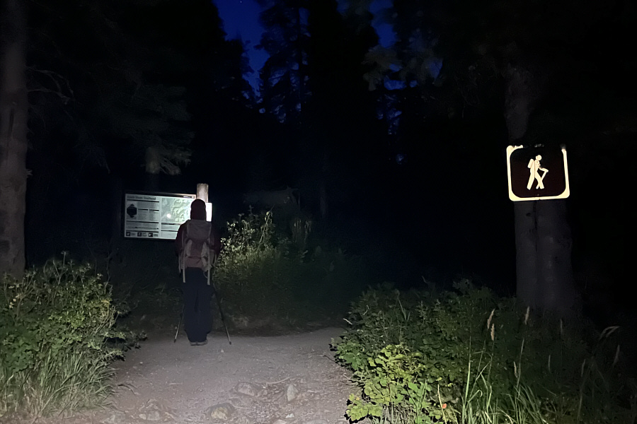
Yep, we're in for a very long day... Zosia reads an information sign board at the trailhead in the dark.
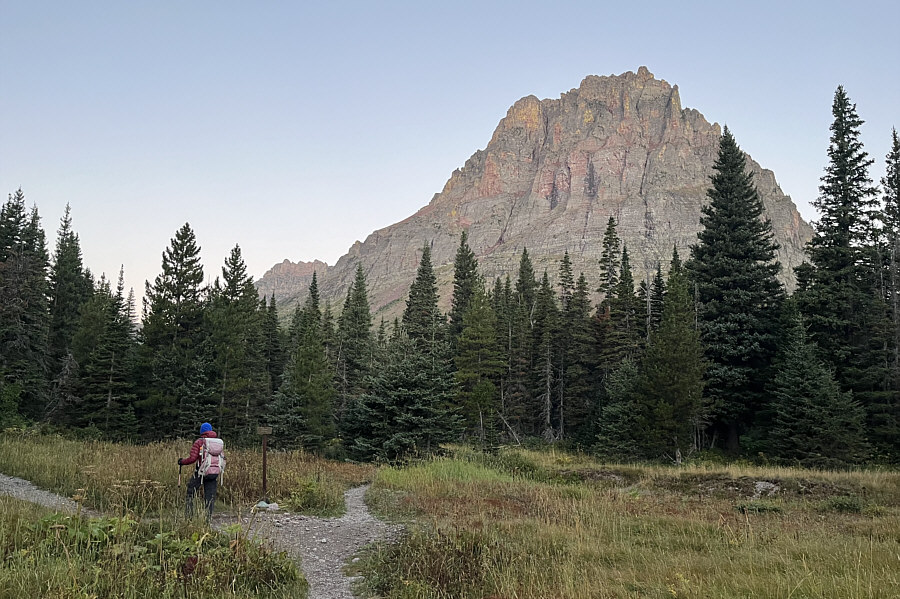
This one's on my to-do list...in the future! Sinopah Mountain rises behind the trees at this trail junction.
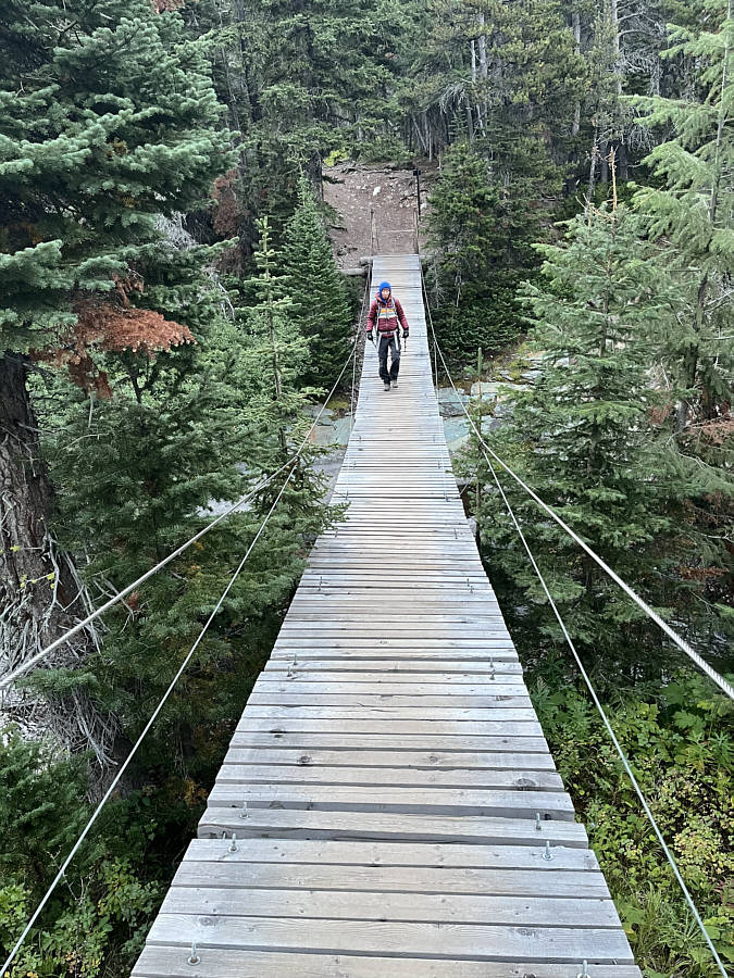
Stop, who approaches the bridge of death must answer me these questions three, 'ere the other side he see! A sign here recommends crossing this bridge over Paradise Creek one person at a time.
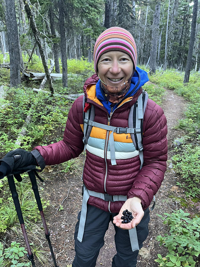
Second breakfast? Zosia finds a lot of ripe huckleberries along the trail.
Yummy!

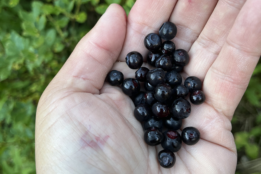
Here is a closer look at the ripe huckleberries.

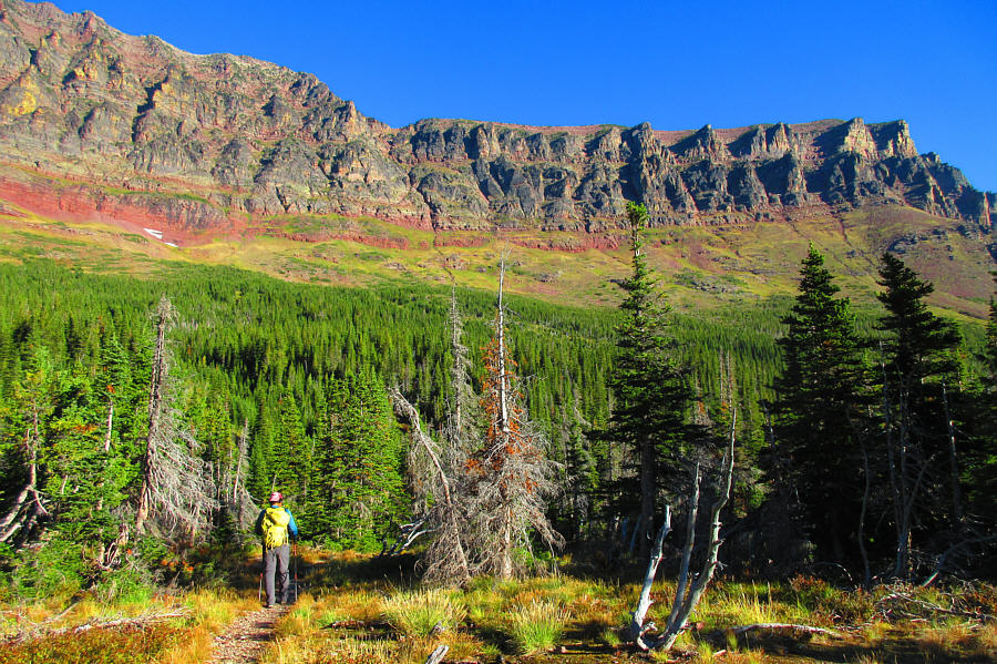
Not on my radar...ever! Zosia passes by Painted Tepee Mountain.
But which gully? Here is a view of Sinopah Mountain's south face.  The usual scramble route goes up one of the gullies at far right.

Photo courtesy of Zosia Zgolak

Yeesh...how are we getting up there?

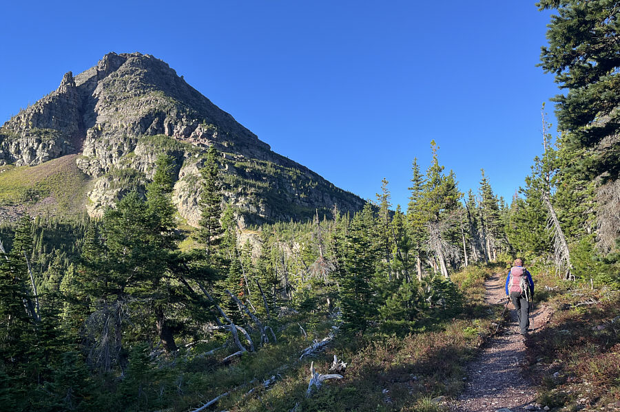
Zosia gets her first clear view of Mount Rockwell.

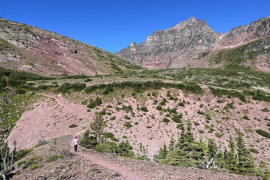
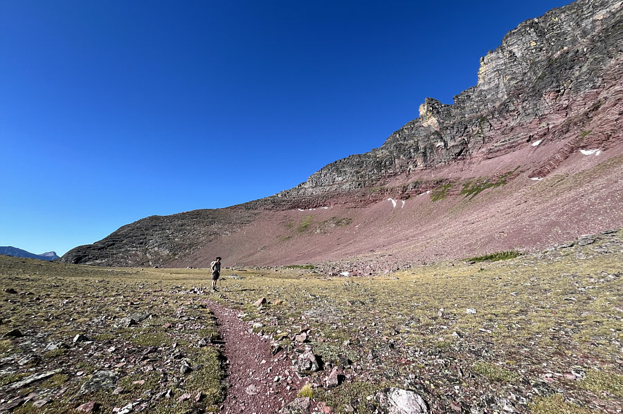
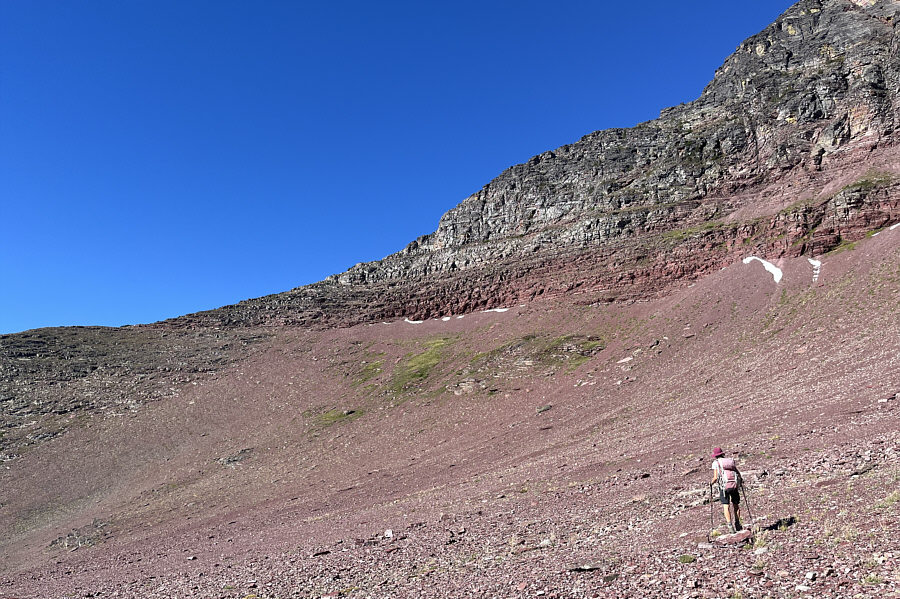
There needs to be a tarn here! Zosia leaves the trail here at a big bowl southeast of Mount Rockwell.
That trail is a godsend! It is difficult to see here, but there is a faint trail that rises up to the ridge at left.

It gets more complicated from here...

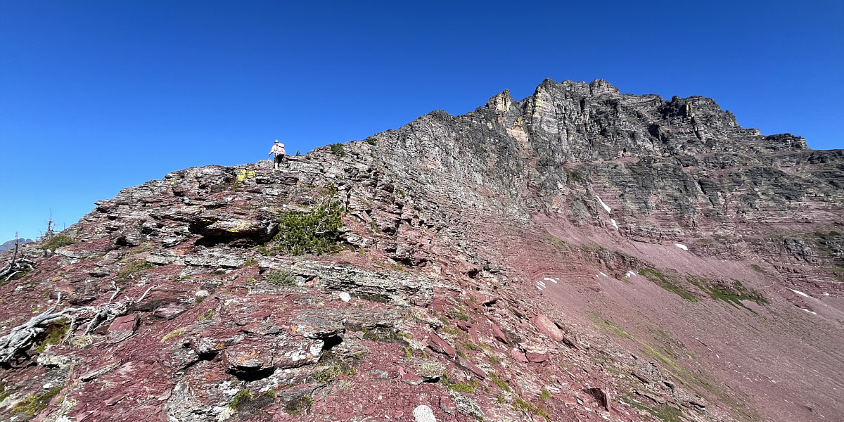
The ascent of Mount Rockwell's south ridge is initially easy.
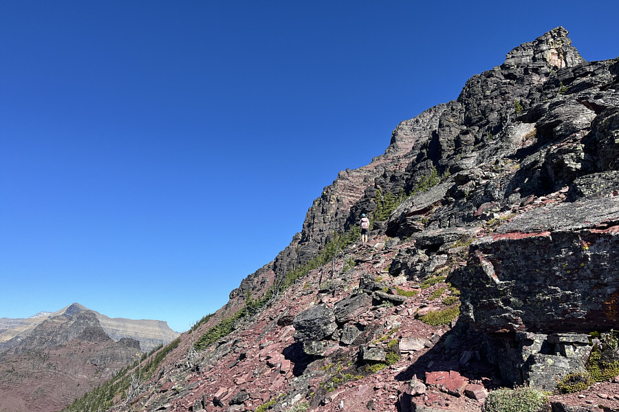
 

Need to be patient here... Further up, Zosia has to leave the crest of the ridge to avoid more technical terrain.
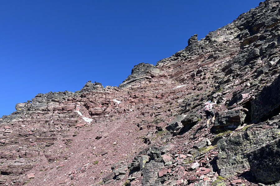
Hard to know where to go next sometimes! The ascent of the upper mountain entails a lot of route-finding.
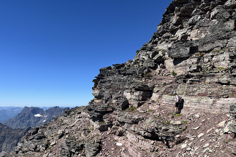
Keep going up and left where possible! The route becomes more complex higher up.
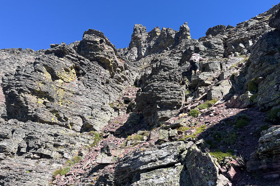
Almost there! Really! This is the last complex section of the route. Beyond the next corner, the terrain is much simpler, and the remainder of the ascent is straightforward.
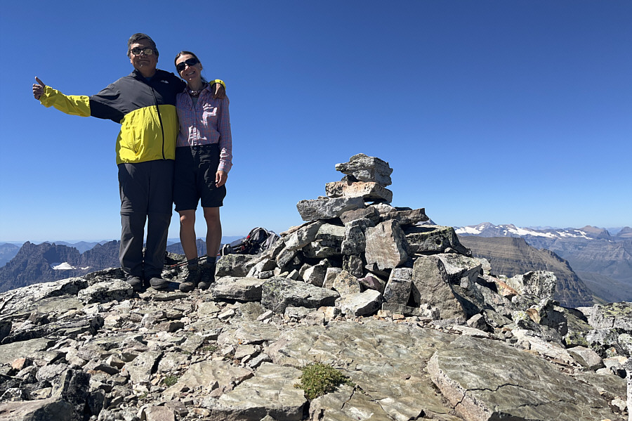
Took awhile, but we finally made it! Sonny and Zosia stand on the summit of Mount Rockwell (2830 metres).
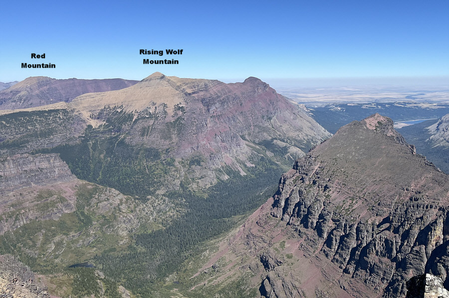
It's the only peak in this photo that Zosia and I haven't climbed yet! In this view to the northeast, Sinopah Mountain is at lower right.
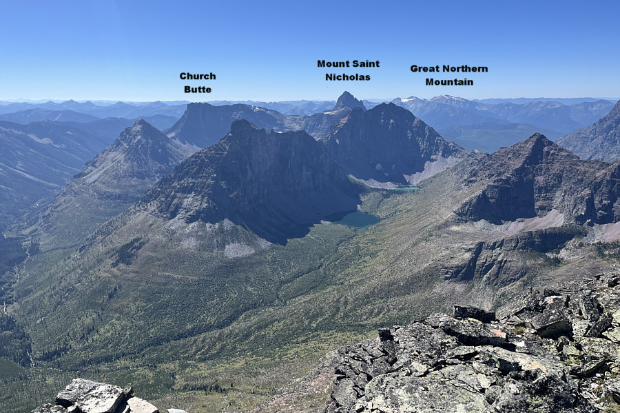
These lakes are probably seldom visited. To the southwest, Lake Isabel and Upper Isabel Lake are encircled by Vigil Peak (left of centre), Battlement Mountain (right of centre), and Caper Peak (far right).

Simply mah-velous!

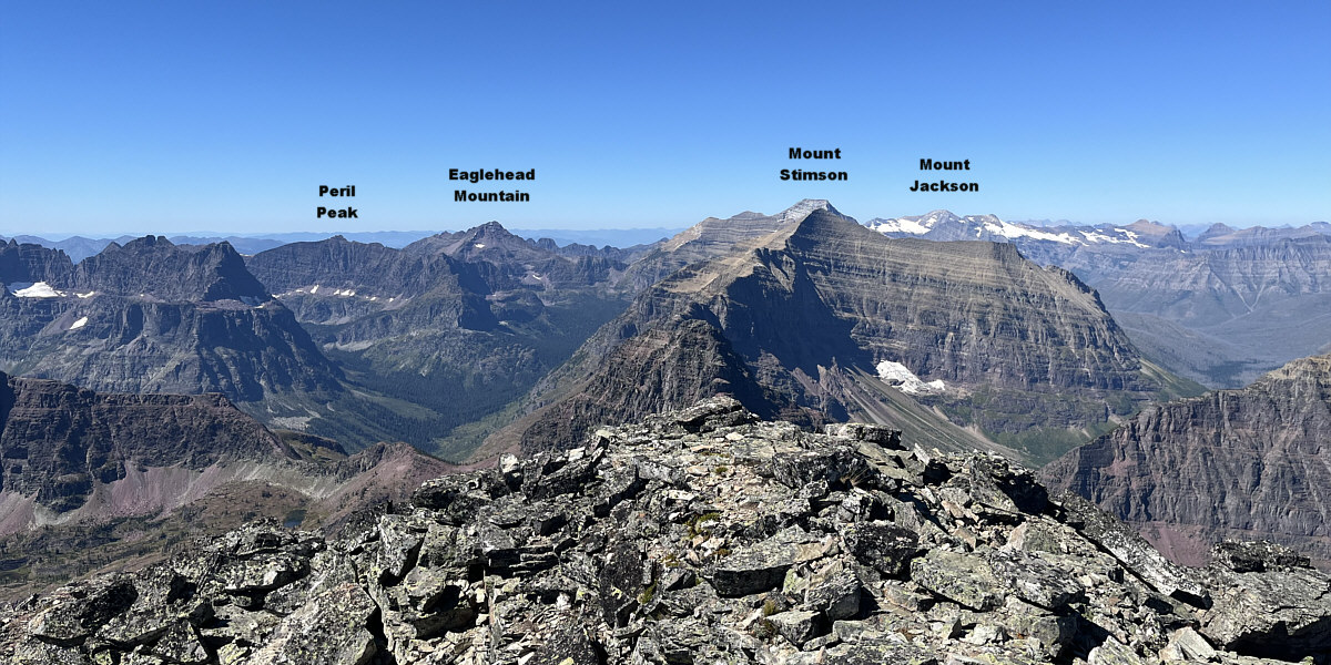
Mount Phillips nearly obscures Mount Stimson in this view to the west.
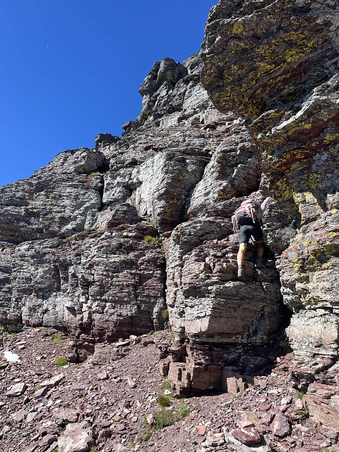
 

Probably the crux of the entire route. On descent, Zosia carefully down-climbs a tricky cliff band.
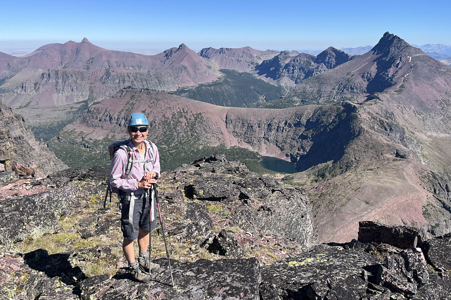
We were actually off-route here! Lower down the south ridge, Zosia gets an aerial view of Cobalt Lake.  The pointy peak at far right is Grizzly Mountain while the pointy peak at far left is Mount Henry.
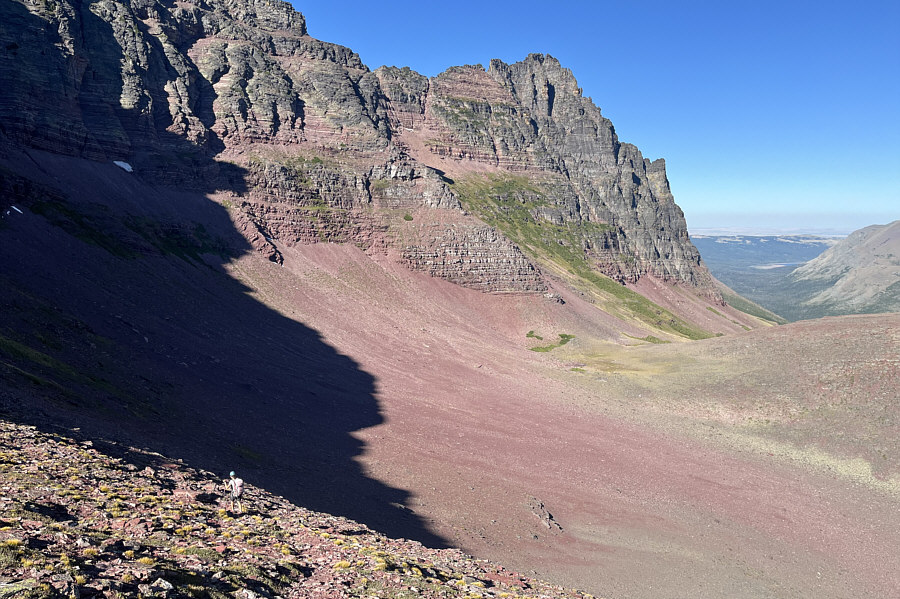
We saw a goat up on the cliffs here. Zosia takes the trail back down into the big bowl.
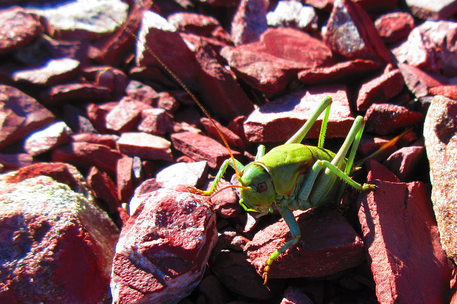
Surprising that it hadn't been picked off by a bird yet! This verdant grasshopper stands out among the red argillite.

Photo courtesy of Zosia Zgolak

A very long but rewarding trip. Total Distance:  25.8 kilometres
Round-Trip Time:  15 hours 6 minutes
Cumulative Elevation Gain:  1250 metres

GPX Data