BOU AVENUE
Mount Sentinel

On 21 August 2024, Zosia Zgolak and I hiked up Mount Sentinel in Missoula, Montana.  Little more than a big grassy hill, Mount Sentinel is located on land adjacent and belonging to the University of Montana.  The summit is easily accessed by a variety of good trails making it a popular objective for local hikers and dog walkers.  An even bigger attraction on the mountain is a big concrete "M" situated about a third of the way up the mountain.  The "M" is visible from many areas in the city, and as such, many people feel compelled to see it up close even if they have no desire to continue on to the summit.  The most direct trail up the mountain starts from the university campus, but because parking there was limited on this day due to a special event, we had to start from an alternate trailhead at the east end of Woodworth Avenue (46.85315, -113.98418) further to the south.

From where we parked for free along Woodworth Avenue, Zosia and I walked eastward to road's end where we picked up an obvious trail heading up the hillside.  The trail makes a couple of zigzags before traversing northward to merge with a trail originating from another trailhead at Evans Avenue.  Past this junction, we continued northward and gradually ascended to the base of the big "M" where a lot of hikers tend to congregate.  A short distance past the big "M", we gained Mount Sentinel's northwest ridge also known informally as "Hellgate Ridgeline".  Turning right, we basically grinded up Hellgate Ridgeline all the way to the summit.  The ridge is steep in a few places, but there is really nothing technically difficult about the route.

After tagging the spacious summit, Zosia and I retreated back down the ridge a short distance to find a shady spot under some trees for a break.  When we resumed hiking, we retraced our steps all the way back down to Woodworth Avenue without any problems.
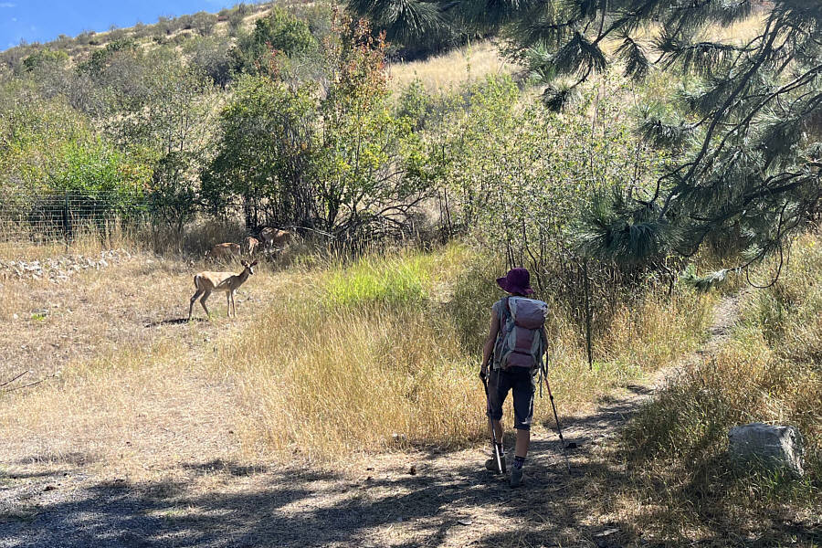
Oh, deer! A herd of deer hang out at the Woodworth Avenue trailhead.
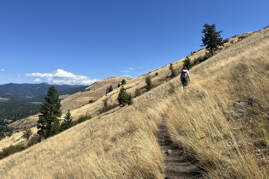
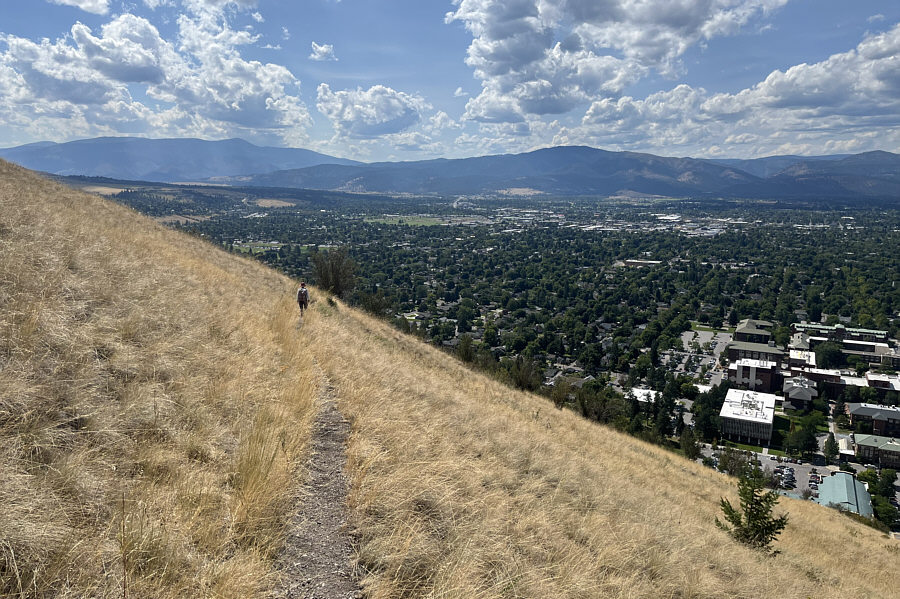
You can even see the "L" on distant Mount Jumbo! Zosia traverses the open hillside toward the "M" which is visible just ahead of her.
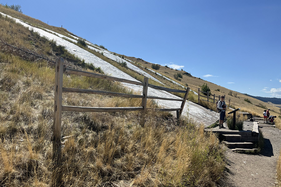
Looks like the "M" needs a new coat of paint! Zosia stands at the bottom of the "M" which was built in 1968.
Looks like a good ski run!

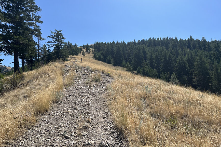
Zosia grinds up Mount Sentinel's northwest ridge--also known as "Hellgate Ridgeline".

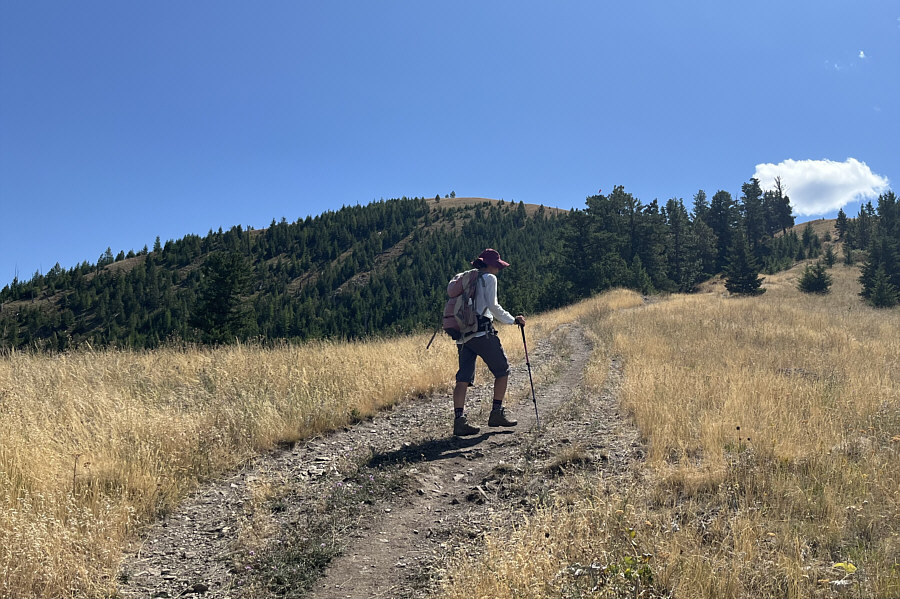
Good, I'm dying from the heat already! The top of Mount Sentinel is within sight.
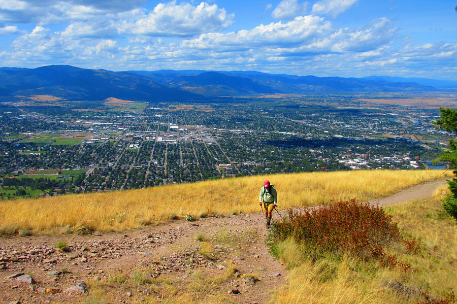
Missoula rocks! The city of Missoula is spread out behind Sonny as he hikes up the remaining short distance to the summit.

Photo courtesy of Zosia Zgolak

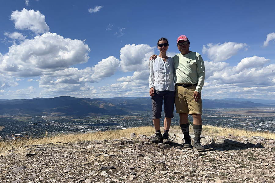
Not a good place for a break--need some shade! Zosia and Sonny stand on the summit of Mount Sentinel (1565 metres).
More rainy conditions further to the west...

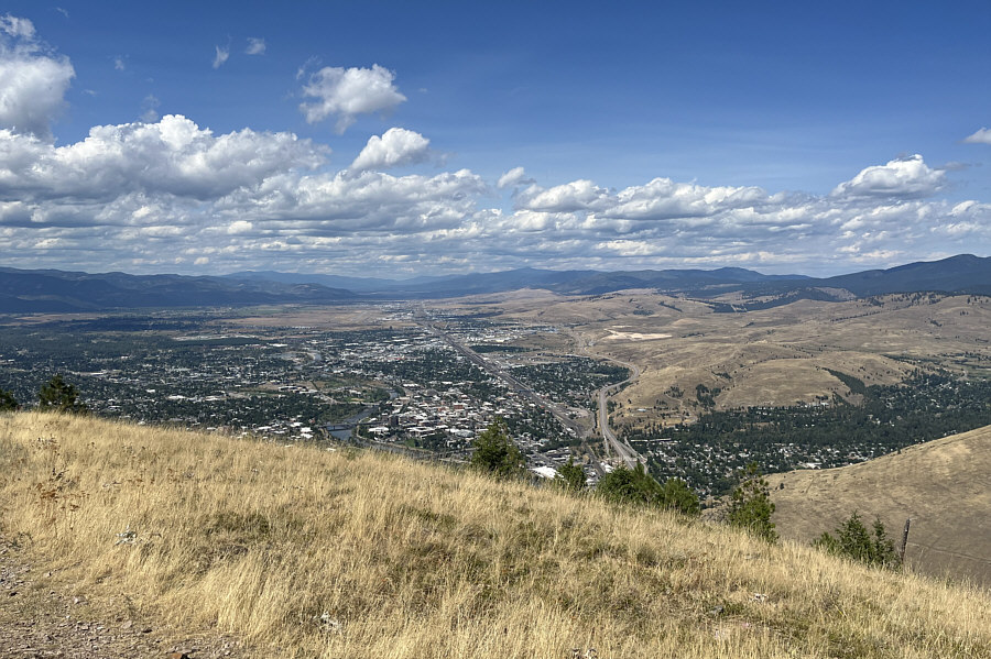
The I-90 stretches away into the distance in this view to the northwest.

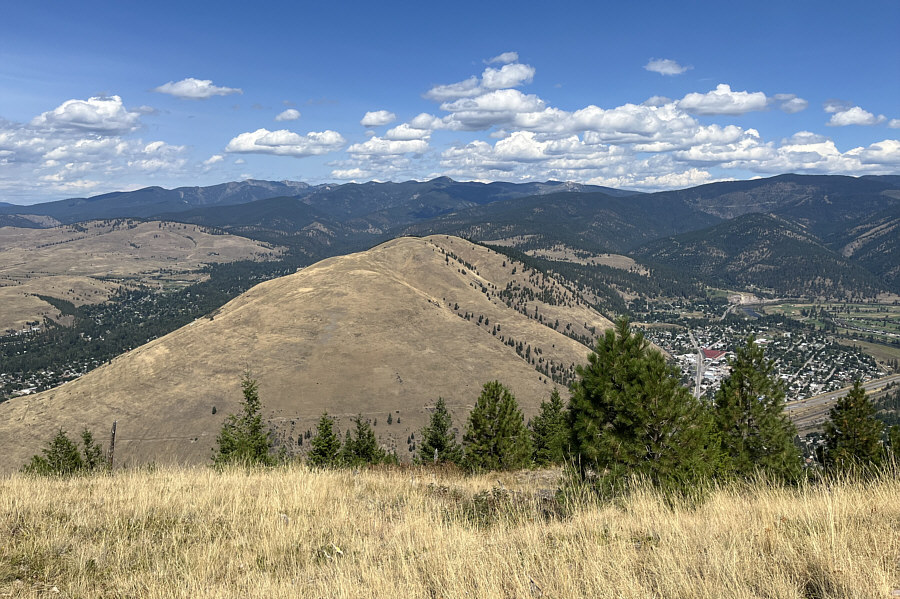
Looks like a mirror image of Mount Sentinel! Mount Jumbo is the big grassy hill immediately to the north.
I wonder if people ski these slopes in winter... Zosia makes her way back to the Woodworth Avenue trailhead.  Visible on the left horizon is Lolo Peak.

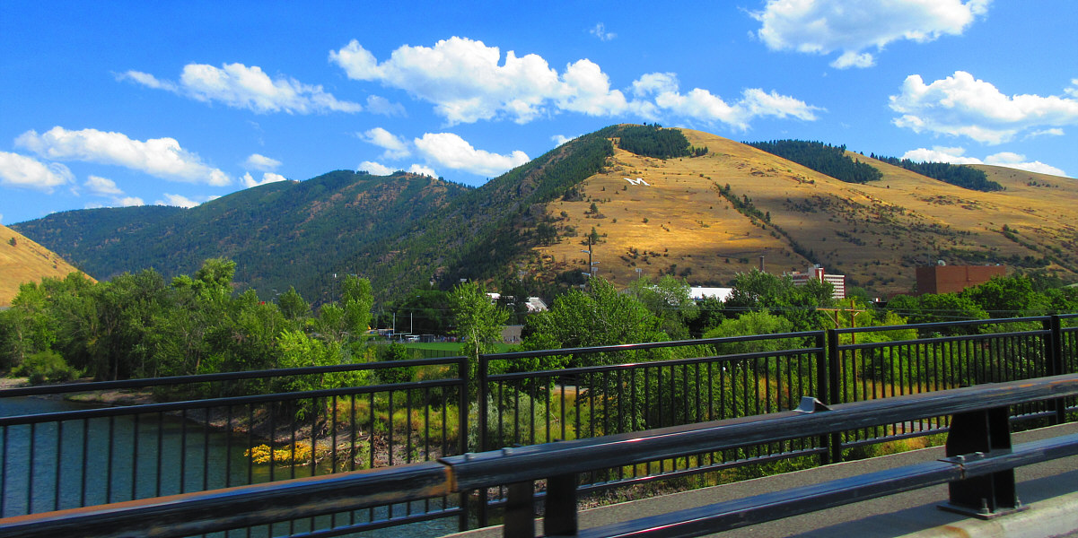
They should add a "& M" to the hillside!

Here is a last look at Mount Sentinel from Madison Street Bridge.

Photo courtesy of Zosia Zgolak
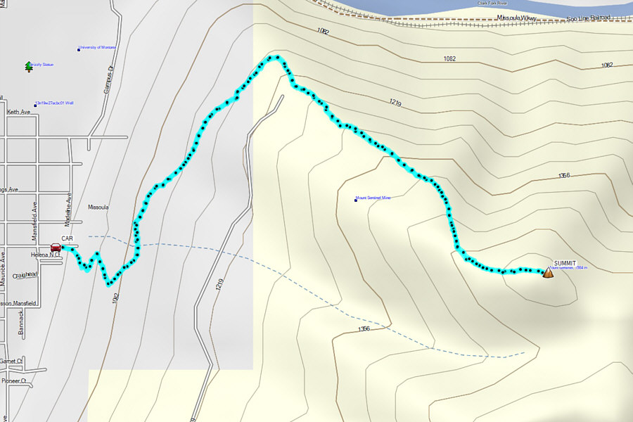
 

The Missoula Grind! Total Distance:  5.9 kilometres
Round-Trip Time:  3 hours 34 minutes
Cumulative Elevation Gain:  555 metres

GPX Data