 |
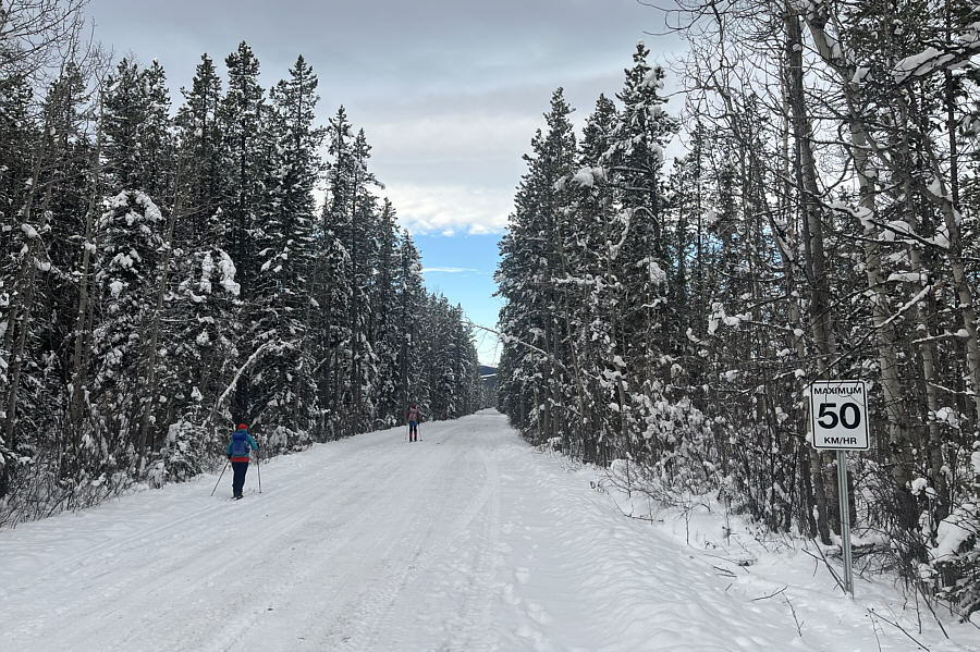
Aga and Zosia try to keep below the speed limit on the main access road. |
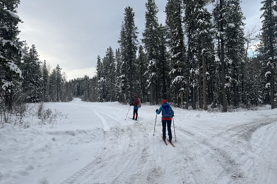 |
Zosia and Aga turn off onto a second road heading south. |
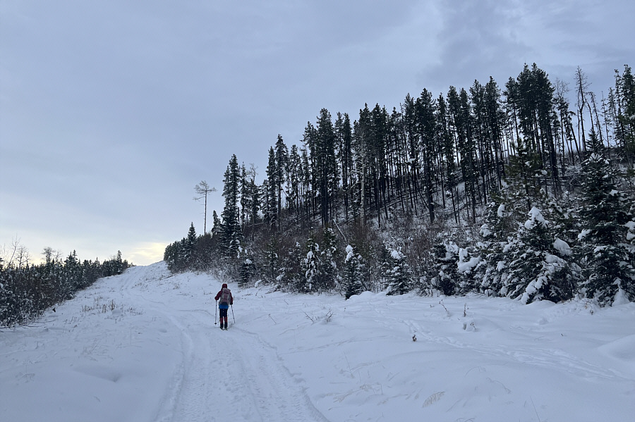 |
Zosia climbs up the first of several uphill sections on the second road. |
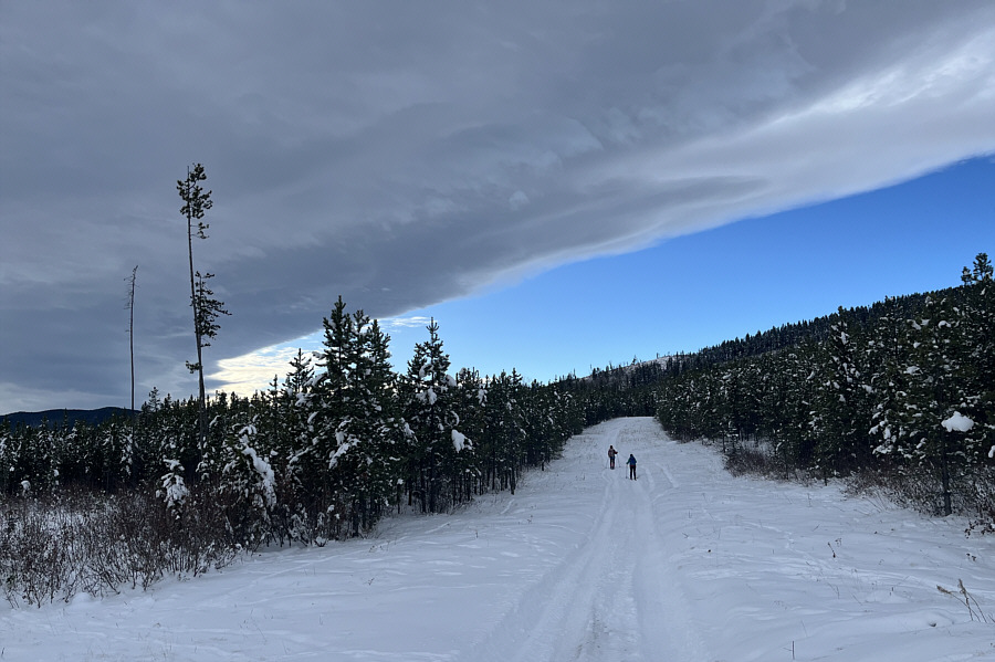 |
Zosia and Aga ski along the road under a dramatic Chinook arch. |
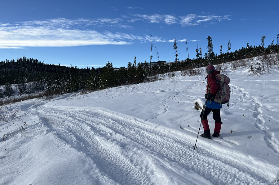 |
Zosia gets her first glimpse of one of the Silvester Creek Hills just beyond the trees right of centre. |
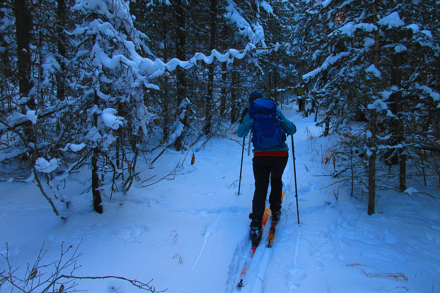 |
Aga follows Sonny along an unexpected
trail in the forest. Photo courtesy of Zosia Zgolak |
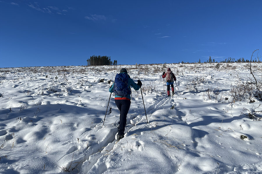 |
Aga and Zosia break out of the forest and enter a huge cut block. |
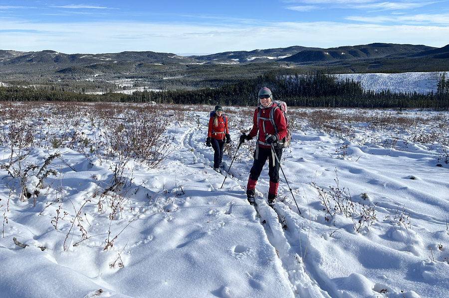 |
Aga and Zosia are still smiling despite the tedious ski through the cut block. |
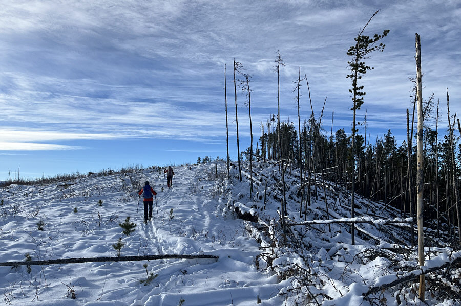 |
Aga and Zosia approach the top of the first hill. |
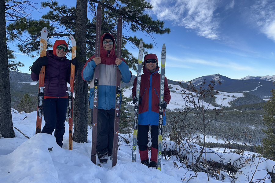 |
Aga, Sonny and Zosia proudly display their skis near the high point of the first hill (1689 metres). |
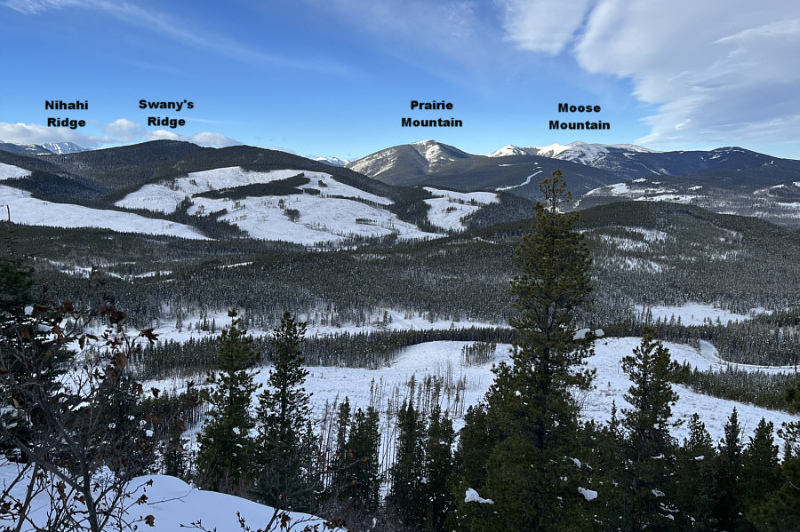 |
In this view to the northwest from the top of the first hill, parts of the main access road leading back to the trailhead can be seen in the valley below. |
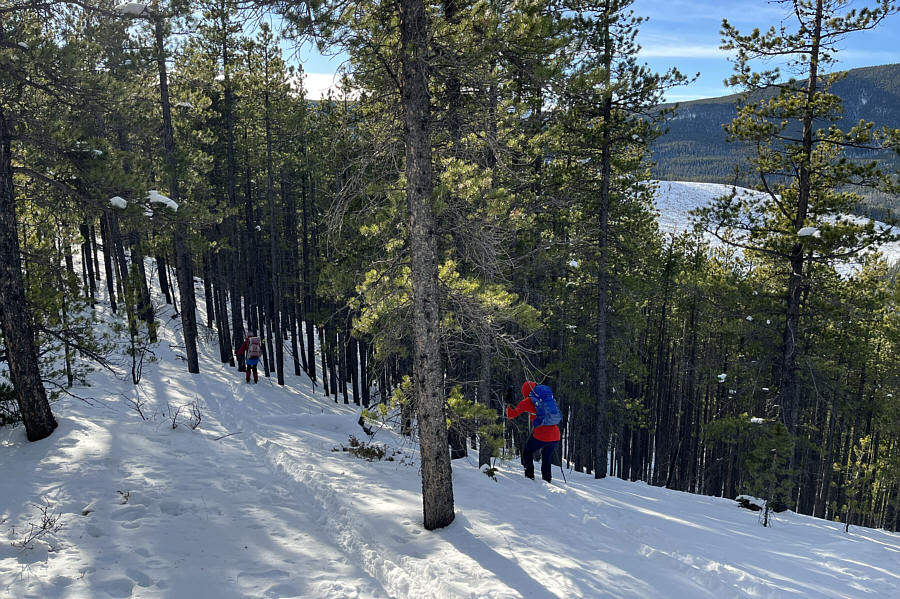
Although I had originally planned for us to backtrack to the short dip after tagging the top of the second hill, Aga, Zosia and I were not particularly enthusiastic about skiing through more cut blocks. Instead, we opted to drop down the forested west slopes of the second hill to connect with a road--marked on my GPS map--that runs along Silvester Creek. Of course, we kept our climbing skins on for greater control which was especially crucial for descending some alarmingly steep sections. Strangely enough, I found this challenging descent to be surprisingly fun even though we were in full survival mode as we slowly but methodically zigzagged between the trees down the slope. We eventually stumbled onto the road to find that it was mostly reclaimed but still skiable. Turning northward, we gradually descended the reclaimed road and soon connected with a well-traveled ATV track. This ATV track is actually in a controversial reclamation zone, but we did not realize this until we arrived at a signed barrier near a four-way intersection. I am still unclear whether or not the area we skied through is closed to public access, but the sign here explicitly prohibiting motorized traffic had obviously been ignored.
Turning right (east) at the four-way intersection, Aga, Zosia and I were now on the long but uncomplicated main access road leading all the way back to the trailhead. The road was markedly grittier than the previous weekend which made some of the fast downhill sections a little nerve-racking. Fortunately, none of us took any unexpected spills as we closed our loop and returned to the trailhead just as darkness began to fall.
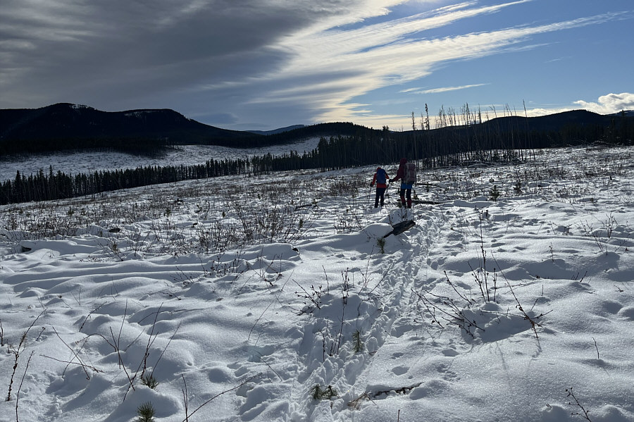 |
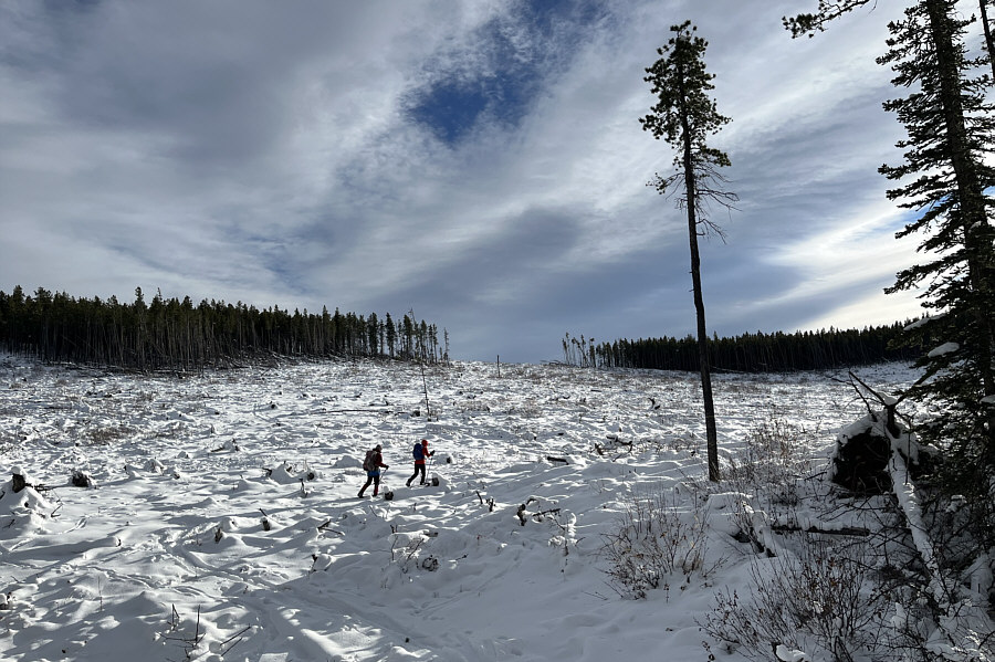
Aga and Zosia carefully descend the cut block as they head toward the second hill at centre. |
 |
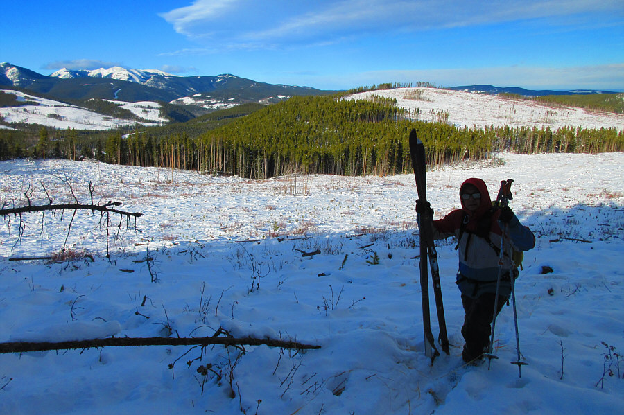
After crossing a short dip, Zosia and Aga begin climbing up the second hill. |
 |
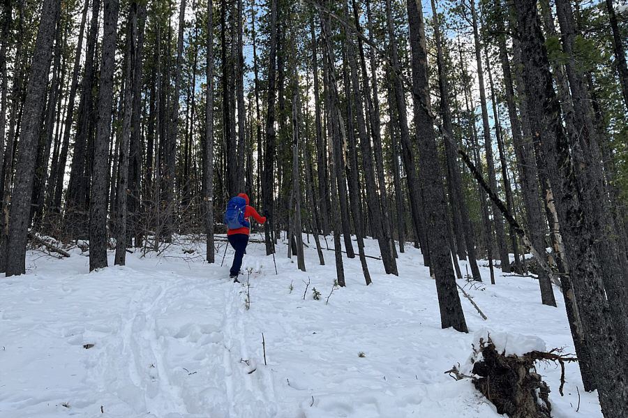
With the first hill visible behind
him, Sonny picks up his skis in the shadow of the trees covering the
top of the second hill. Photo courtesy of Zosia Zgolak |
 |
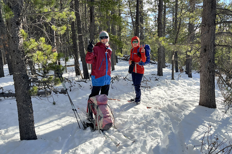
Ironically, the forested top of the second hill is easier to ski than any of the open cut blocks. |
 |
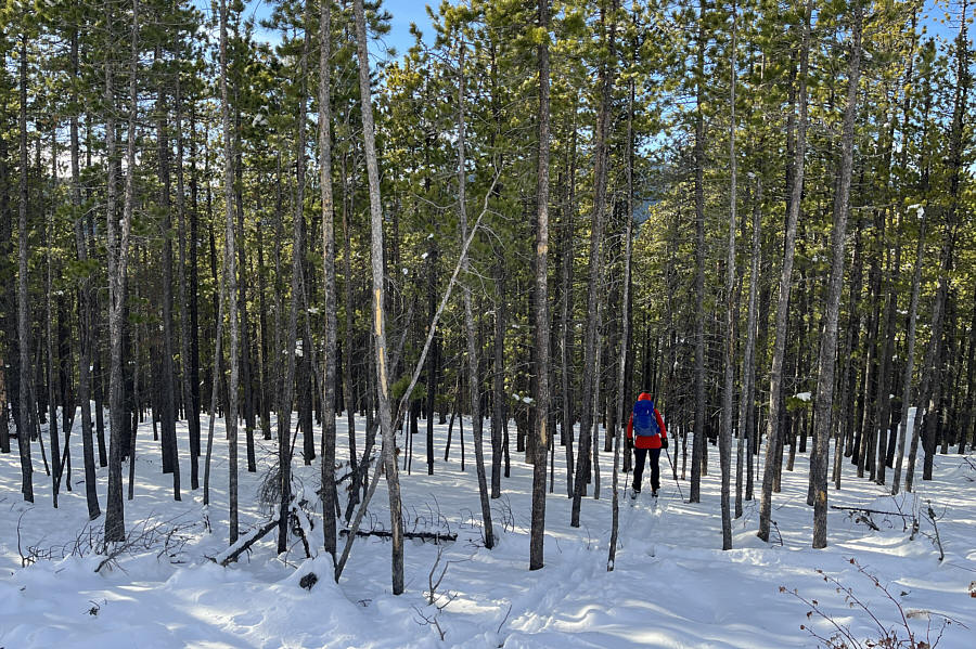
Zosia and Aga stand near the viewless high point of the second hill (1706 metres). |
 |
Aga descends the forested west slopes of the second hill. |
 |
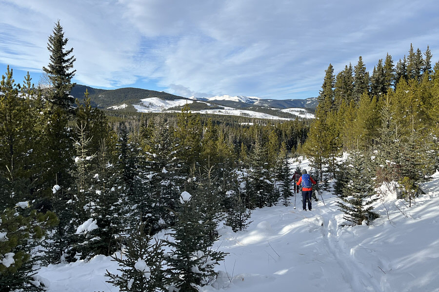
The slope is alarmingly steep here. |
 |
Zosia and Aga descend a reclaimed road near the bottom of the second hill. |
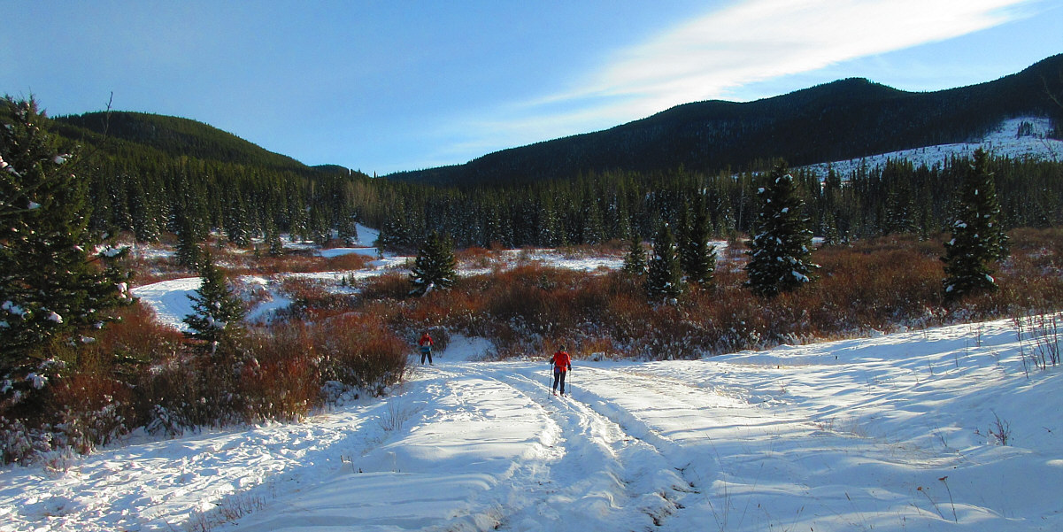
This ATV track along Silvester Creek is supposed to be decommissioned and off-limits to motorized vehicles, but this regulation is obviously difficult to enforce.
Photo courtesy of Zosia Zgolak
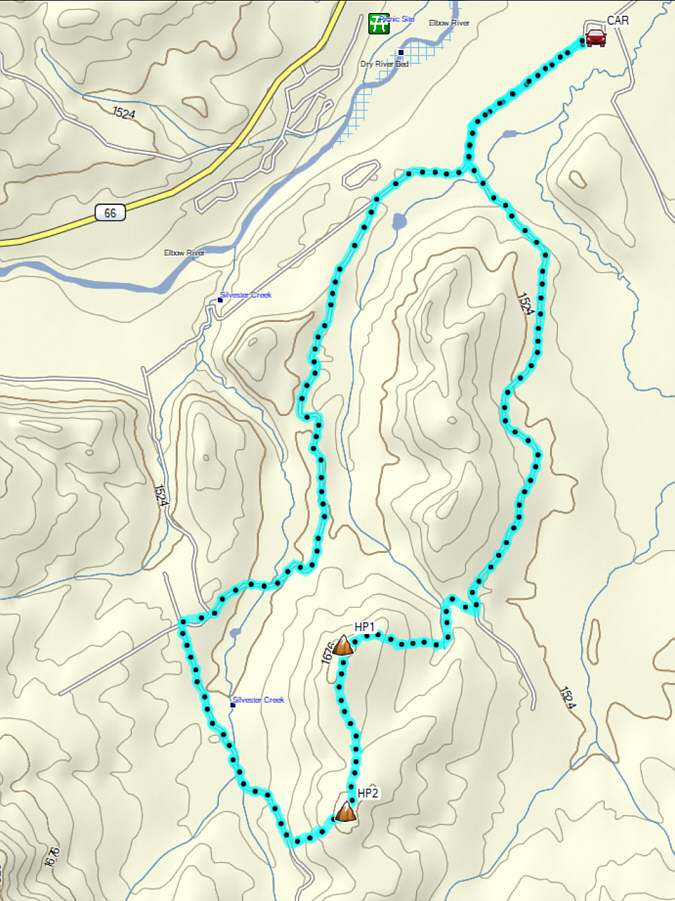 |
Total Distance: 16.7 kilometres Round-Trip Time: 7 hours 36 minutes Cumulative Elevation Gain: 281 metres |