August 9, 2024 turned out to be a bit of a
hectic day for Zosia Zgolak and me as we made some last-second changes to
our vacation plans early in the morning. We started the day by
paying a visit to central Oregon's Skylight Cave which I had only
discovered by chance while perusing Google Maps. The main
attraction of the cave--actually a lava tube--arises from dramatic light
beams which, depending on weather conditions and time of day, are created
by sunlight shining through holes in the ceiling. The cave is open
to the general public, but getting there is a bit tricky and requires
careful navigation of back roads through some stretches of private land.
From Highway 126/20, turn south onto paved National Forest (NF) 2060
(McAllister Road) 26.0 kilometres east of the junction with Highway 22 or
15.0 kilometres northwest of the junction with West Hood Avenue in
Sisters. Drive 710 metres and turn right onto NF 2061 (2WD gravel).
Keep straight at all junctions for the next 7.9 kilometres before turning
left at a T-junction with NF 1028. Drive 1.0 kilometre and turn
left again onto Road 260 (high-clearance recommended). Drive
another kilometre or so and park in a widened section of road. The
signed cave entrance is just a short distance further east along Road
260.
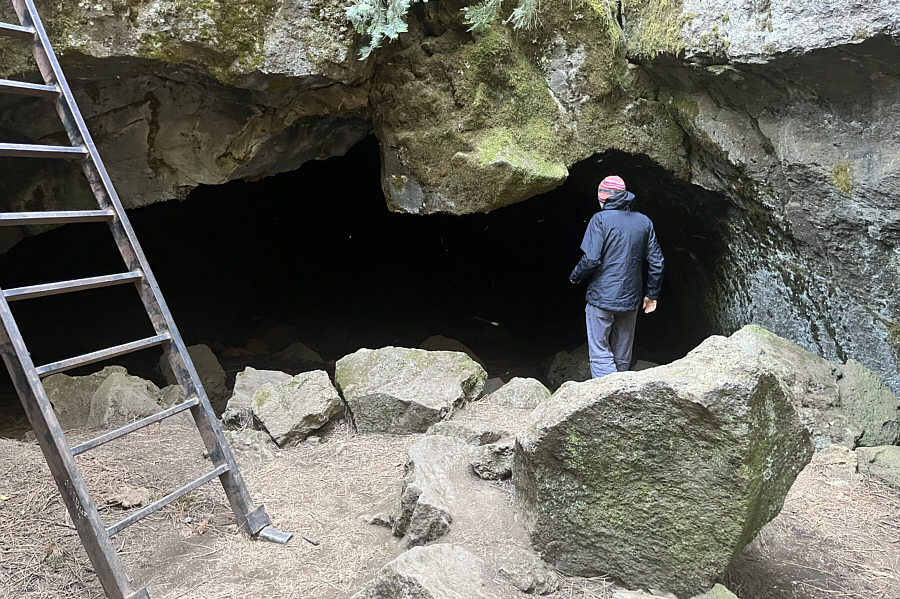
Nobody else was around as Zosia and I descended a metal ladder into
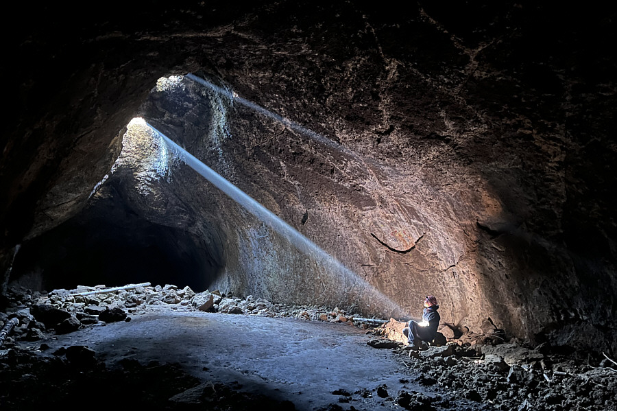
Skylight Cave. The lava tube stretches away in opposite directions
from the entrance, and we first headed roughly eastward to the main
attraction. We did not have far to walk before reaching the chamber
with the holes in the ceiling. I think we arrived maybe a little
too early in the day for the full effect, but the light beams we saw were
still amazing. We were also fortunate to have the entire chamber to
ourselves for over twenty minutes until the arrival of other visitors
prompted us to depart. Before climbing to the surface, we also
explored the other more neglected arm of the lava tube. This arm is
longer and darker, and it ultimately dead-ends without much fanfare.
After exiting Skylight Cave, we returned to our car and drove out a
different back road to get to our next objective.
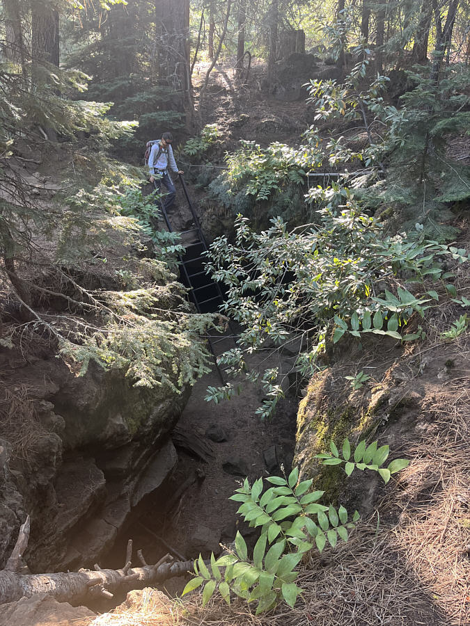 |
Zosia descends a ladder into Skylight
Cave. |
 |
Zosia enters the lava tube where the
"skylights" are located. |
 |
Zosia finally sees the light. |
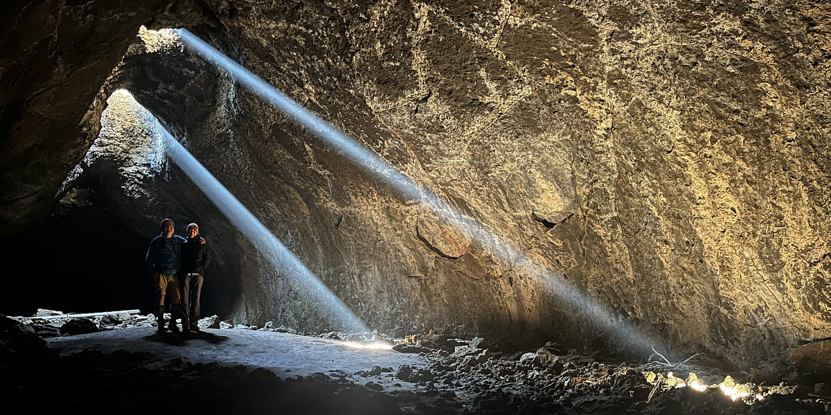
The light beams slowly change as the sun moves across
the sky above the holes in the ceiling.
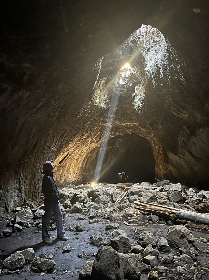 |
Here is a look back at the light beams from near the end of the lava
tube. |
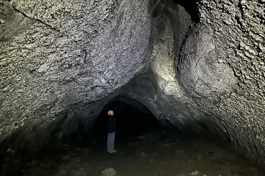 |
Zosia explores the less interesting
lava tube at the other end of Skylight Cave. |
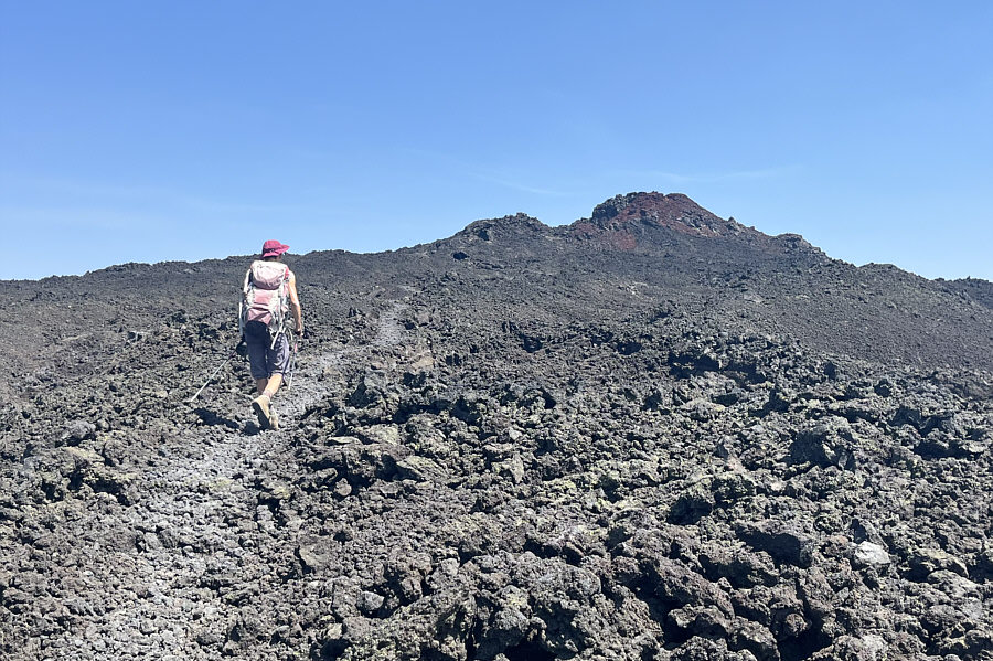
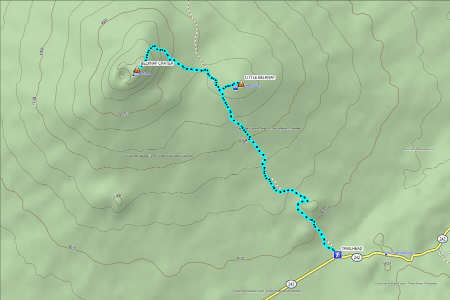
Next up was an ascent of Belknap Crater, a shield volcano
located in Mount Washington Wilderness. The top of the crater is
easily accessed by a faint trail that branches off from the well-traveled
Pacific Crest Trail (PCT), and a subsidiary cinder cone--Little
Belknap--can also be tagged with minimal extra effort. Most of the
approach along the PCT is through a vast lava field with virtually no
shade and absolutely no water, and Zosia and I were well aware that we
would be attempting this hike during the hottest part of the day under a
full sun.
The trailhead for Little Belknap and Belknap Crater is located on the
north side of Highway 242 (44.25992, -121.80979) about 850 metres west of
McKenzie Pass. Toilets are available at Dee Wright Observatory near
the pass.
Before starting our hike, Zosia and I paid a short visit to the Dee
Wright Observatory which was built by the
Civilian Conservation Corps in 1935. Made entirely from local
lava rocks, the observatory is comprised of a viewing platform and an
open shelter with strategically-placed holes to help identify distant
peaks on the surrounding horizon. The unique look of the
observatory reminded me a lot of
Weathertop (Amon Sūl)
as depicted in Peter Jackson's movie adaptation of J.R.R. Tolkien's
fantasy masterpiece Lord of the Rings.
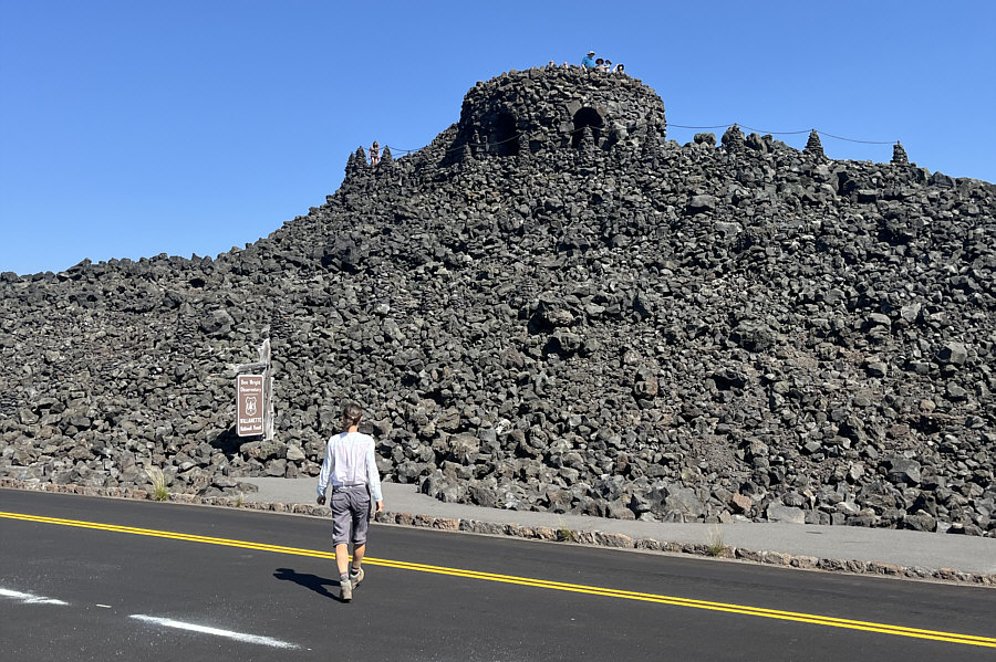 |
Zosia approaches Dee Wright
Observatory. |
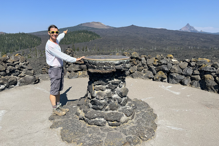 |
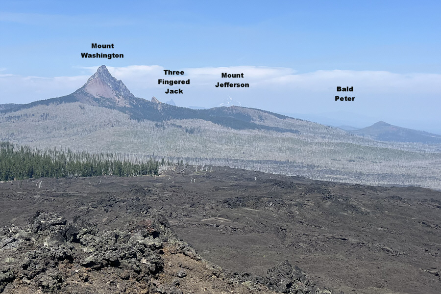
This disc atop the observatory helps
identify distant peaks. Zosia is pointing toward Belknap
Crater. Also visible are Little Belknap and Mount Washington. |
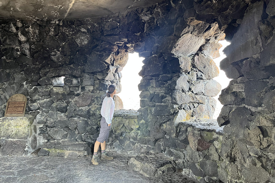 |
Inside the observatory are little
labeled holes lined up to also help identify distant peaks. |
Leaving the observatory, Zosia and I drove to the trailhead for Belknap
Crater and finally started our hike at 11:25 AM. Following the PCT,
we winded around two forested humps before entering the aforementioned
vast lava field. As expected, the midday sun was intense, but on
this day, we were very fortunate to have a breeze which helped to keep
the heat from becoming unbearable. Approximately 3.5 kilometres
from the trailhead, we turned right at a signed junction for a short
detour to Little Belknap. Barely rising above the surrounding lava
field, this subsidiary cinder cone is a fine viewpoint in its own right,
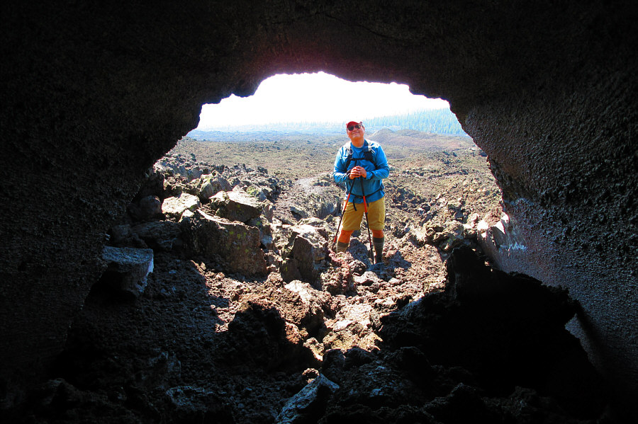
and there are even some small lava tubes nearby that can be fun to
explore. The entire detour to tag the summit of Little Belknap and
return to the junction took us about 45 minutes.
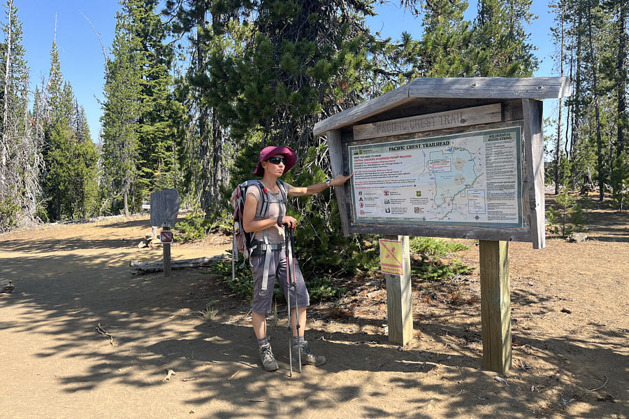 |
Zosia checks out some information
about the Pacific Crest Trail (PCT) at the trailhead for Belknap
Crater. |
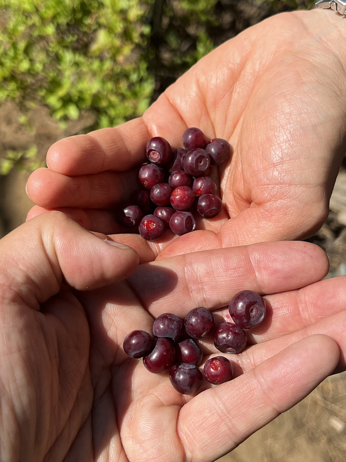 |
Despite the predominantly dry
conditions in the area, there are still huckleberries to be found in
the forest not far from the trailhead. |
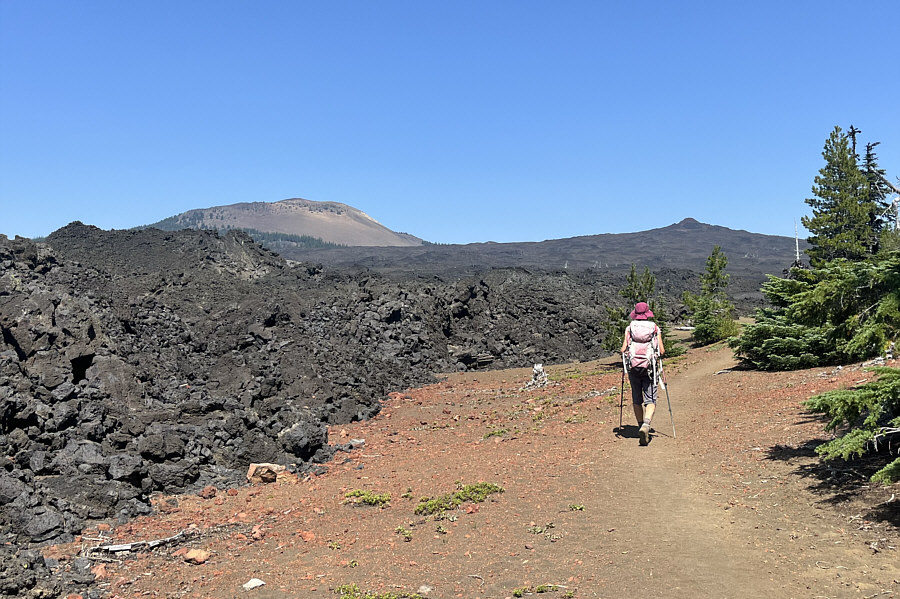 |
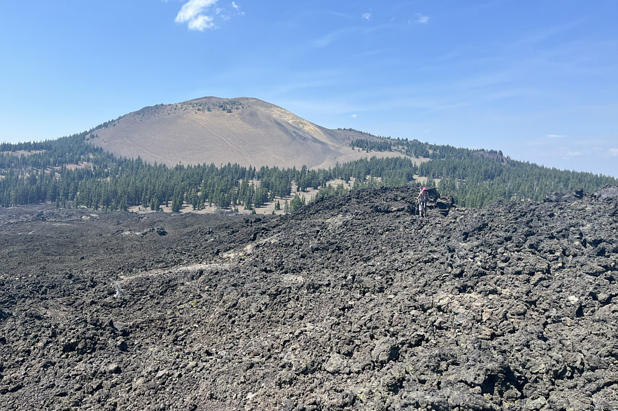
Zosia approaches a vast lava field
with Belknap Crater and Little Belknap visible in the distance. |
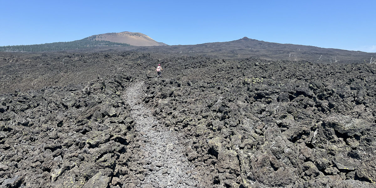
Zosia follows the PCT into the lava field.
Resuming our hike northward along the PCT, Zosia and I finally
exited the lava field about 350 metres past the Little Belknap junction.
A short distance further, we left the PCT and followed another trail
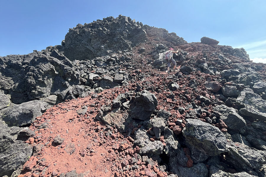
heading directly toward Belknap Crater. This trail essentially
makes a couple of switchbacks up the north ridge of the crater before
ending on the summit. The
pumicite underfoot
here can be a little slippery to hike especially on steeper sections of
trail, but we managed to finish the ascent without too much trouble.
Even with the breeze, the hot sun made it too uncomfortable to linger on
the summit, and after snapping a requisite photo, we dropped back down to
the shade of some evergreen trees before stopping for an extended break.
When we were satisfactorily rested, Zosia and I retraced our steps back
to the PCT and settled into a long but otherwise unremarkable march back
to the trailhead.
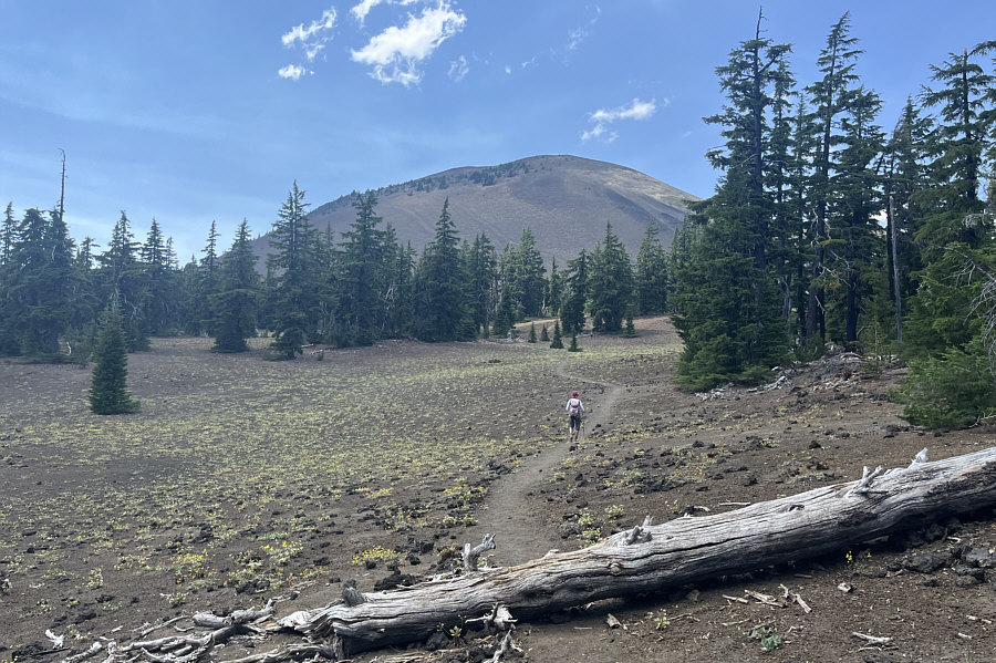 |
Leaving the PCT, Zosia follows a spur
trail heading toward Belknap Crater. |
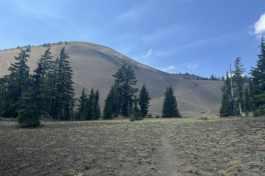 |
The trail can be seen zigzagging up to
the north ridge of the crater. |
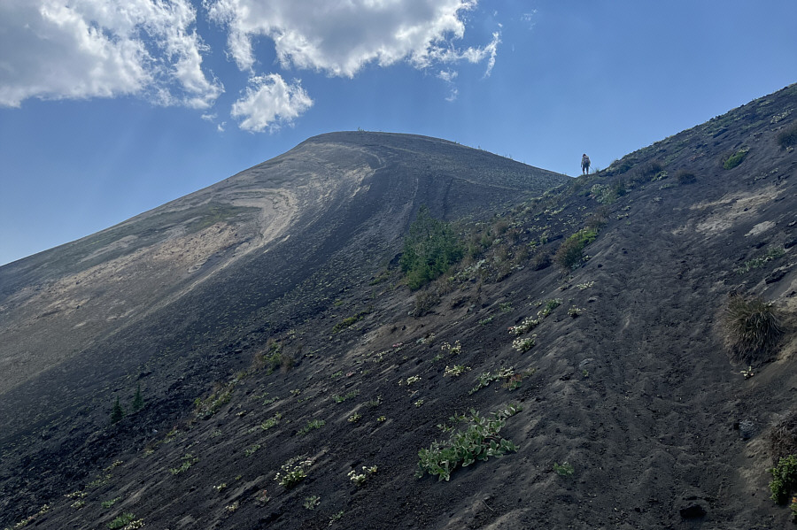 |
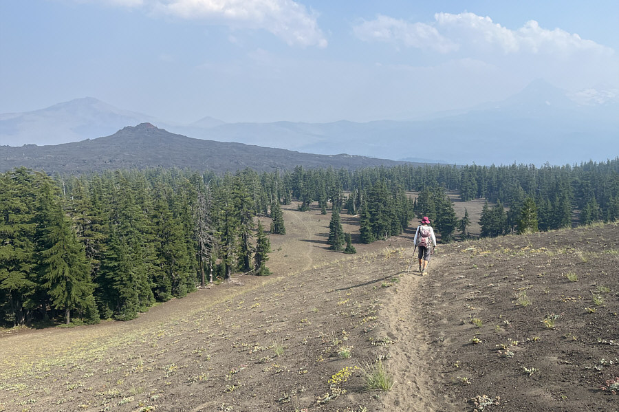
Zosia climbs up the north ridge of the
crater. Note the pumicite on the trail which can make for
tricky footing. |
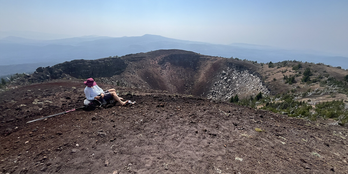
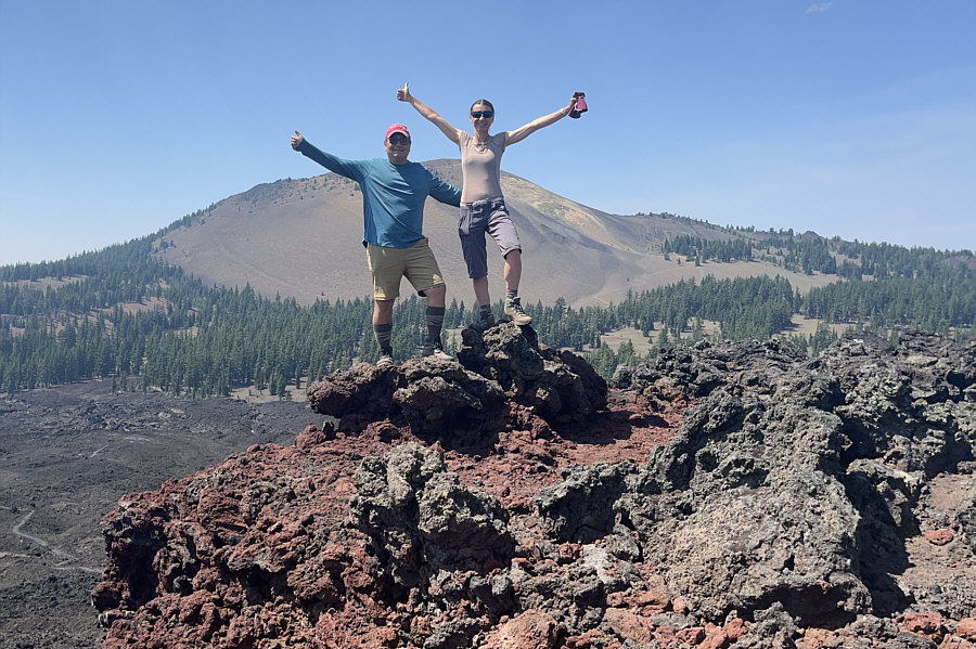
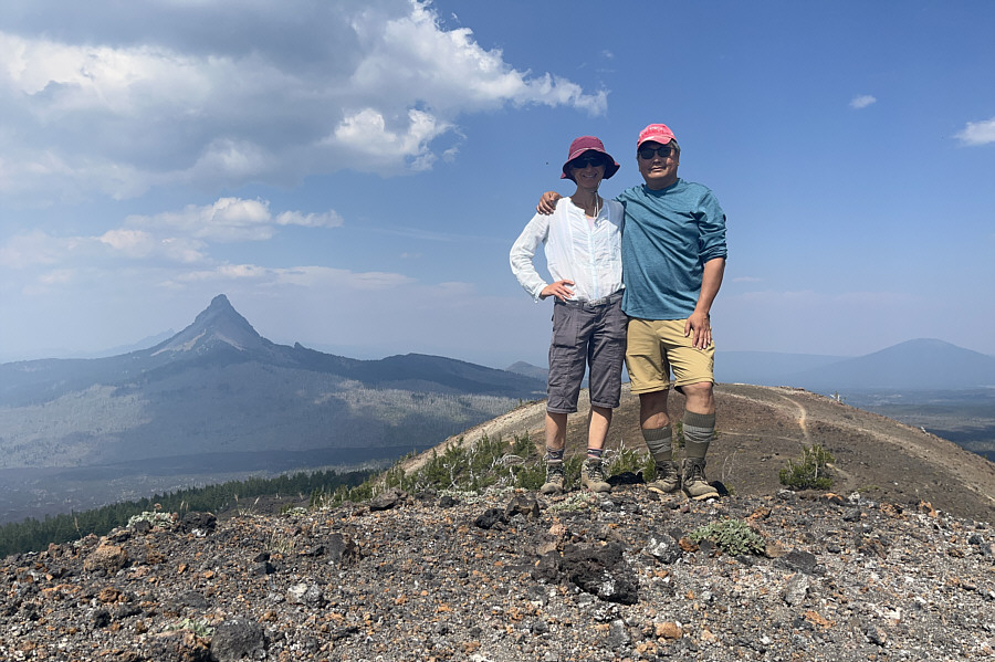
Zosia airs out her feet on top of Belknap Crater.


